Elevation of Ave, Tulare, CA, USA
Location: United States > California > Tulare County > Tulare >
Longitude: -119.28703
Latitude: 36.242521
Elevation: 97m / 318feet
Barometric Pressure: 100KPa
Elevation Map:
Satellite Map:
Related Photos:

boeing b-17g flying fortress

boeing b-17g flying fortress
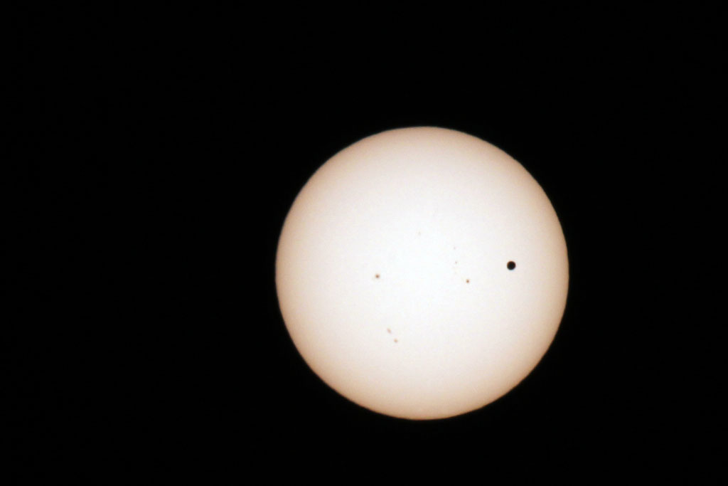
Transit of Venus Take 1
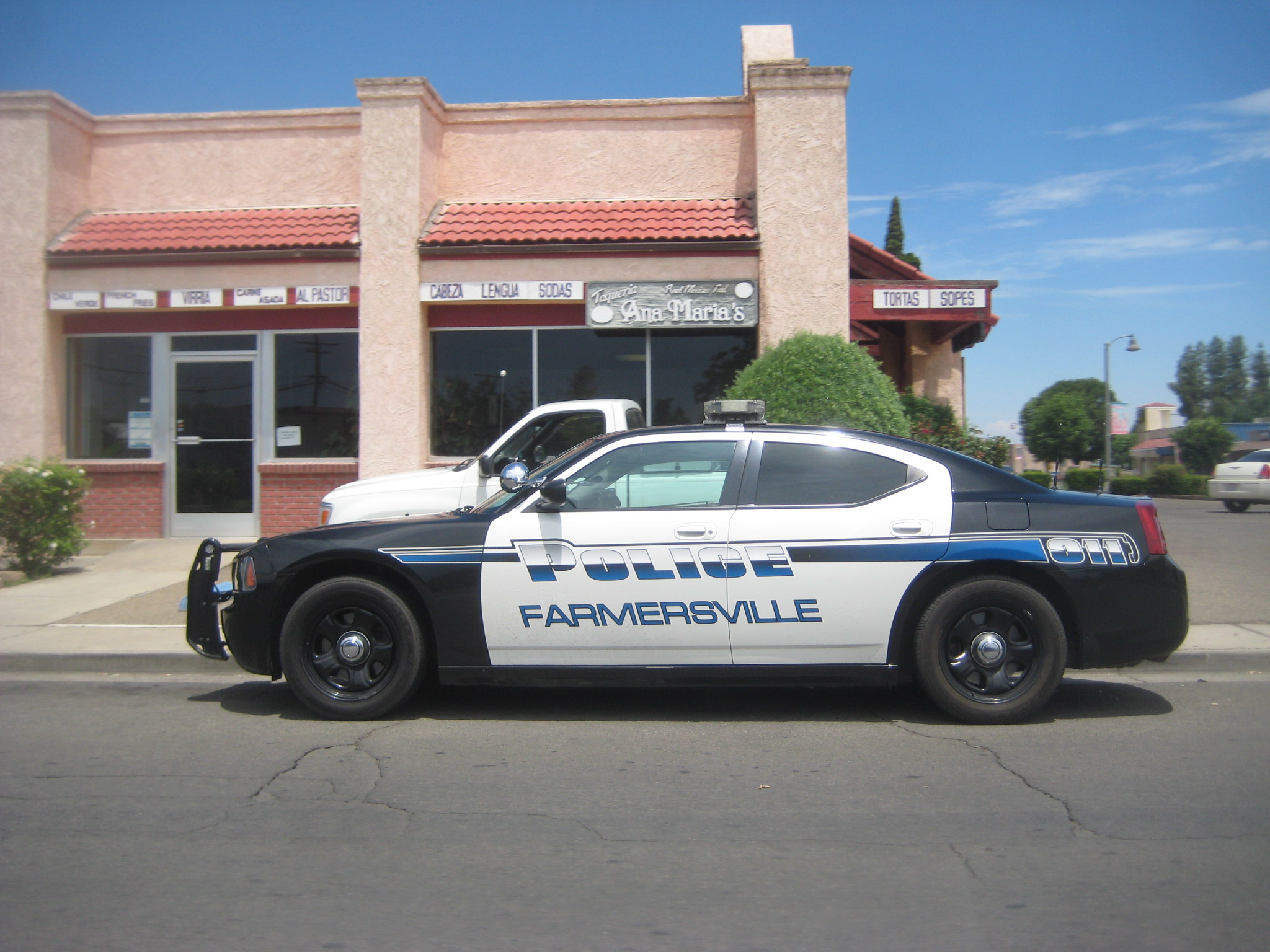
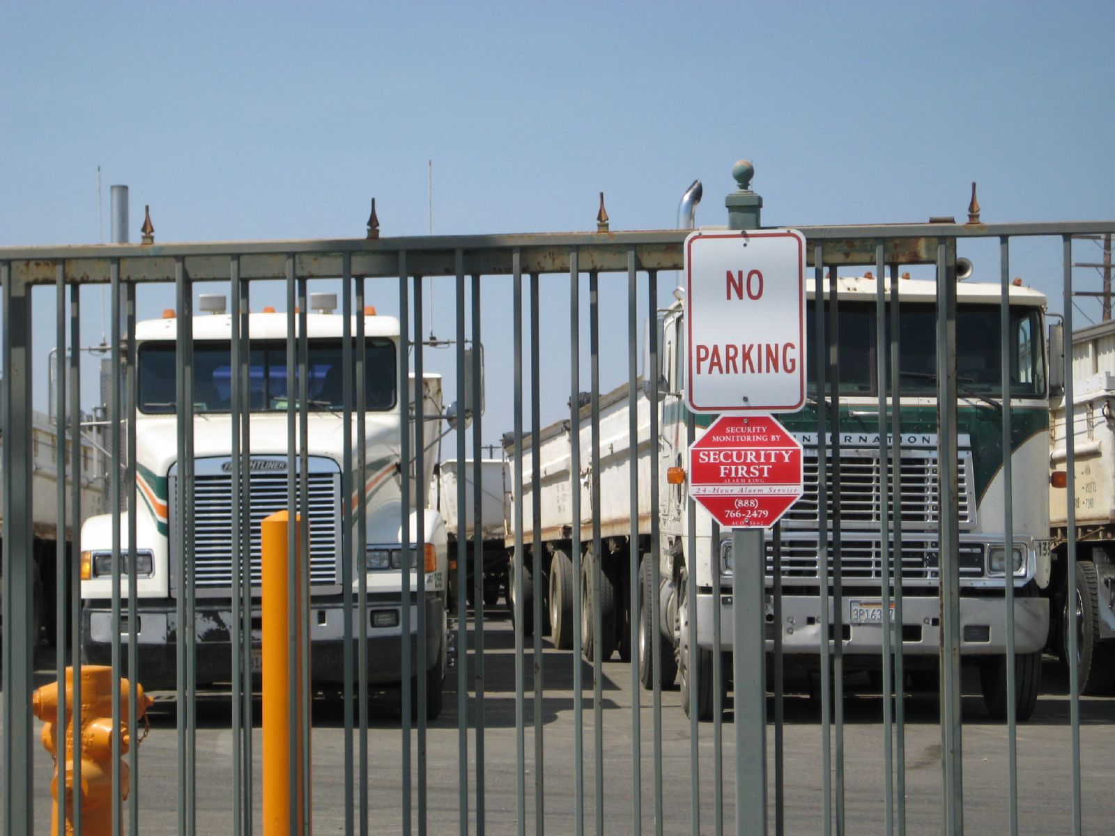
does farmersville really need this??
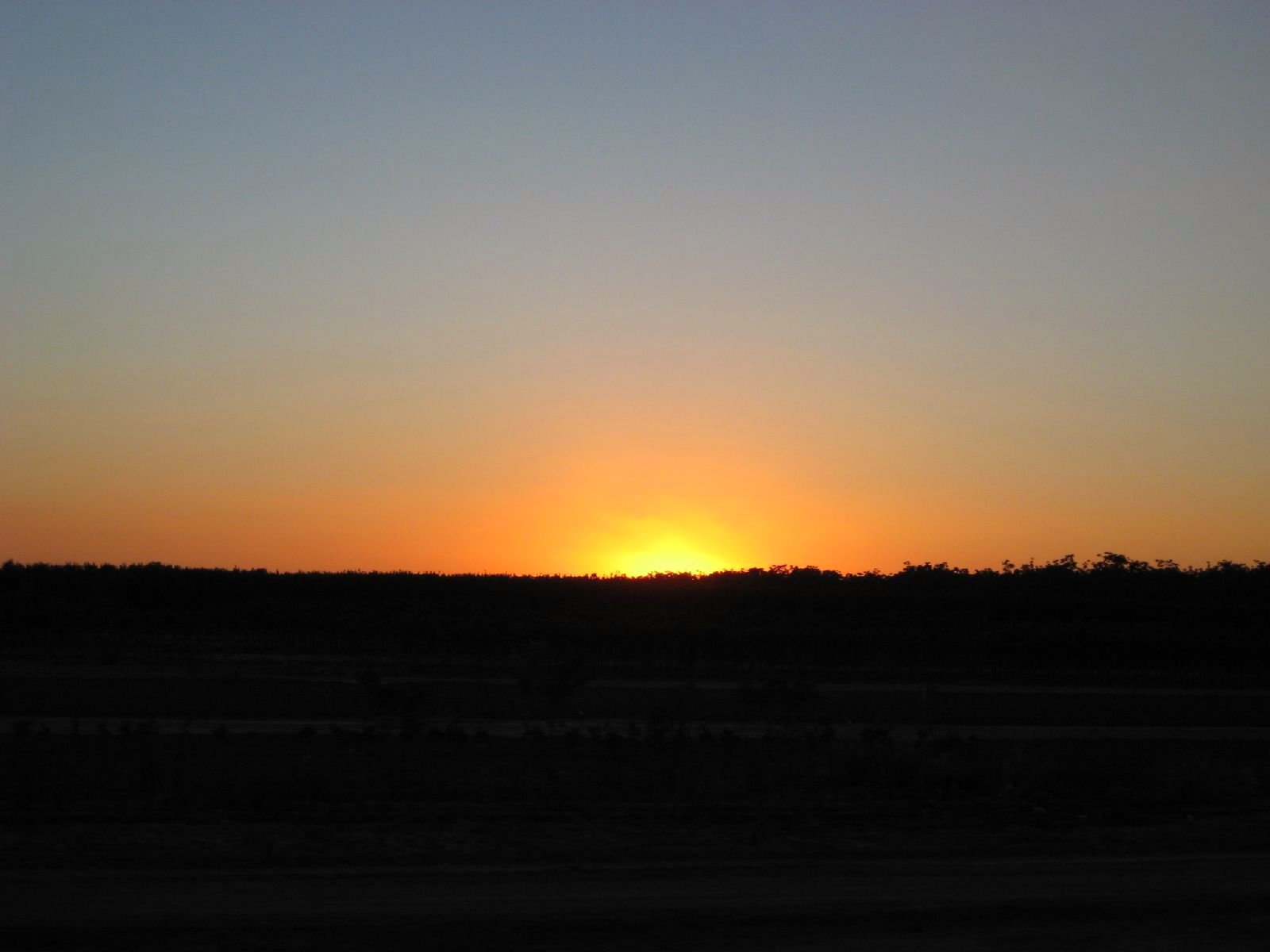
Valley Sunset

7D2_8624 crop COKI-eBird.org bottom_545x812

7D2_8625 crop COKI-eBird.org bottom_922x623

7D2_8628 crop COKI-eBird.org bottom_741x488

7D2_8632 crop COKI-eBird.org bottom_709x480
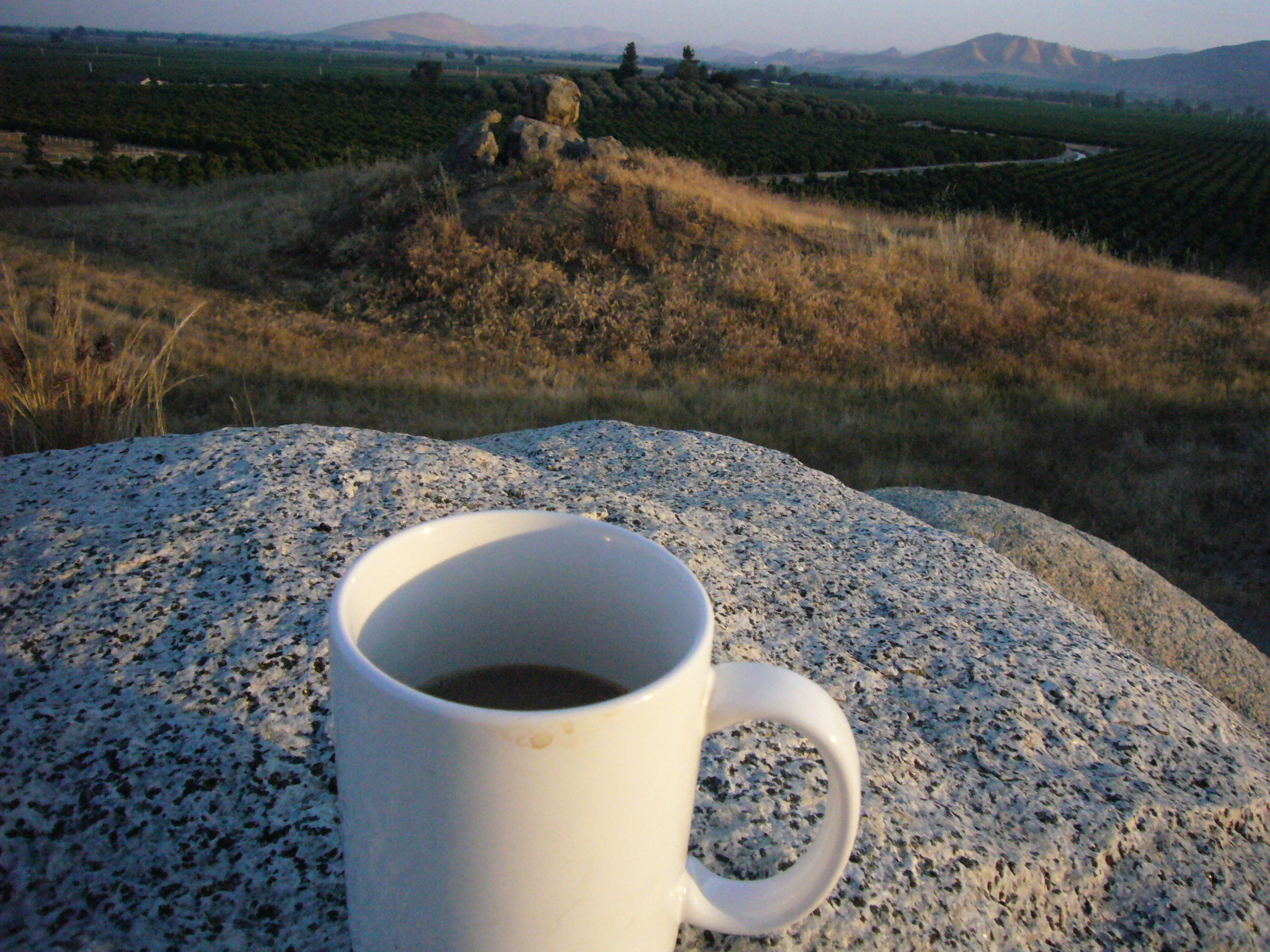
Coffee on a Granite Rock
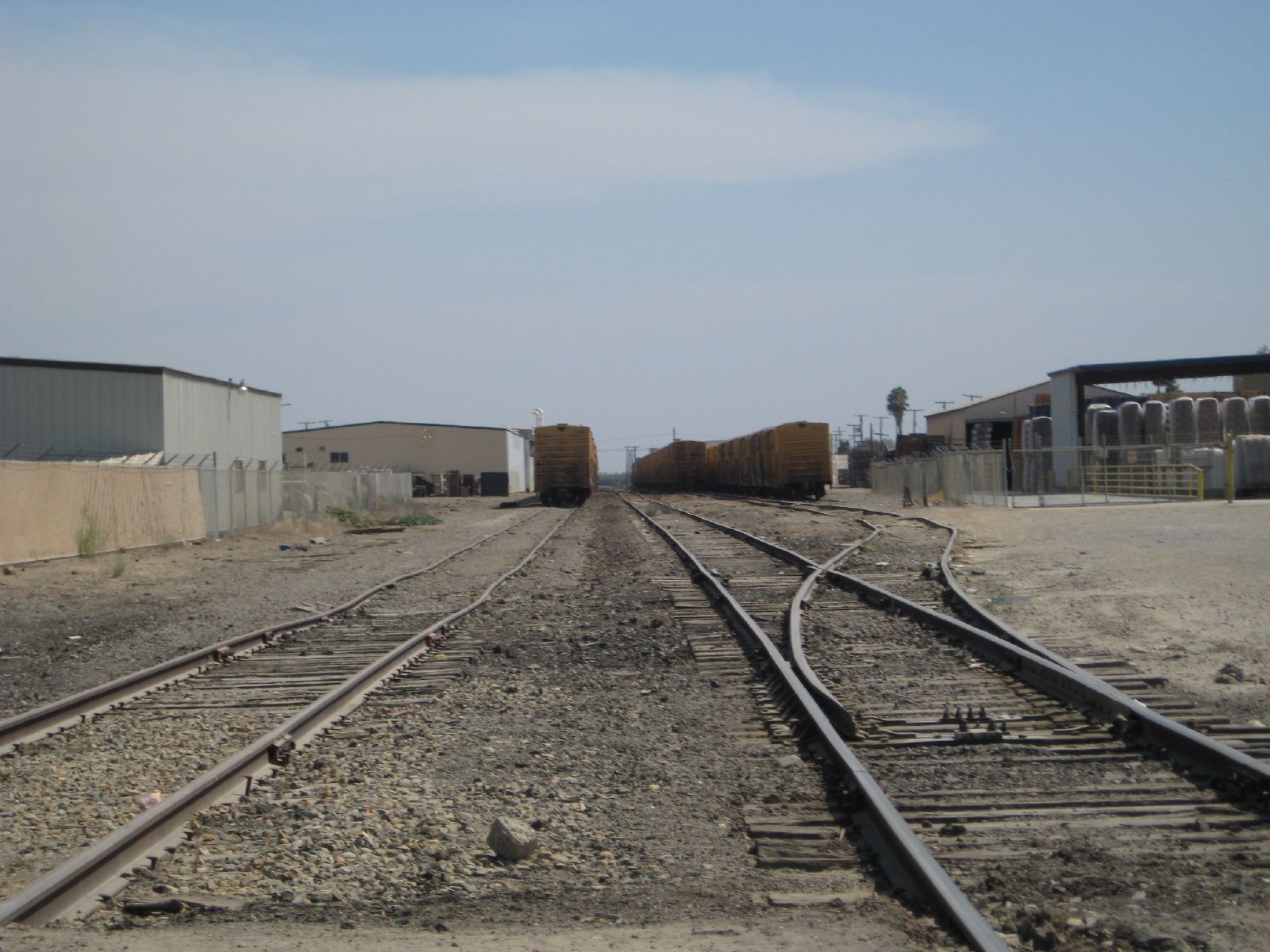
non moving trains
ValleyEx (83)
2007081818.jpg
kaweah delta construction

juicy wine grapes
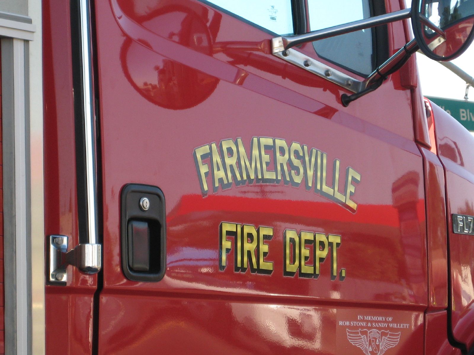
farmersville FD
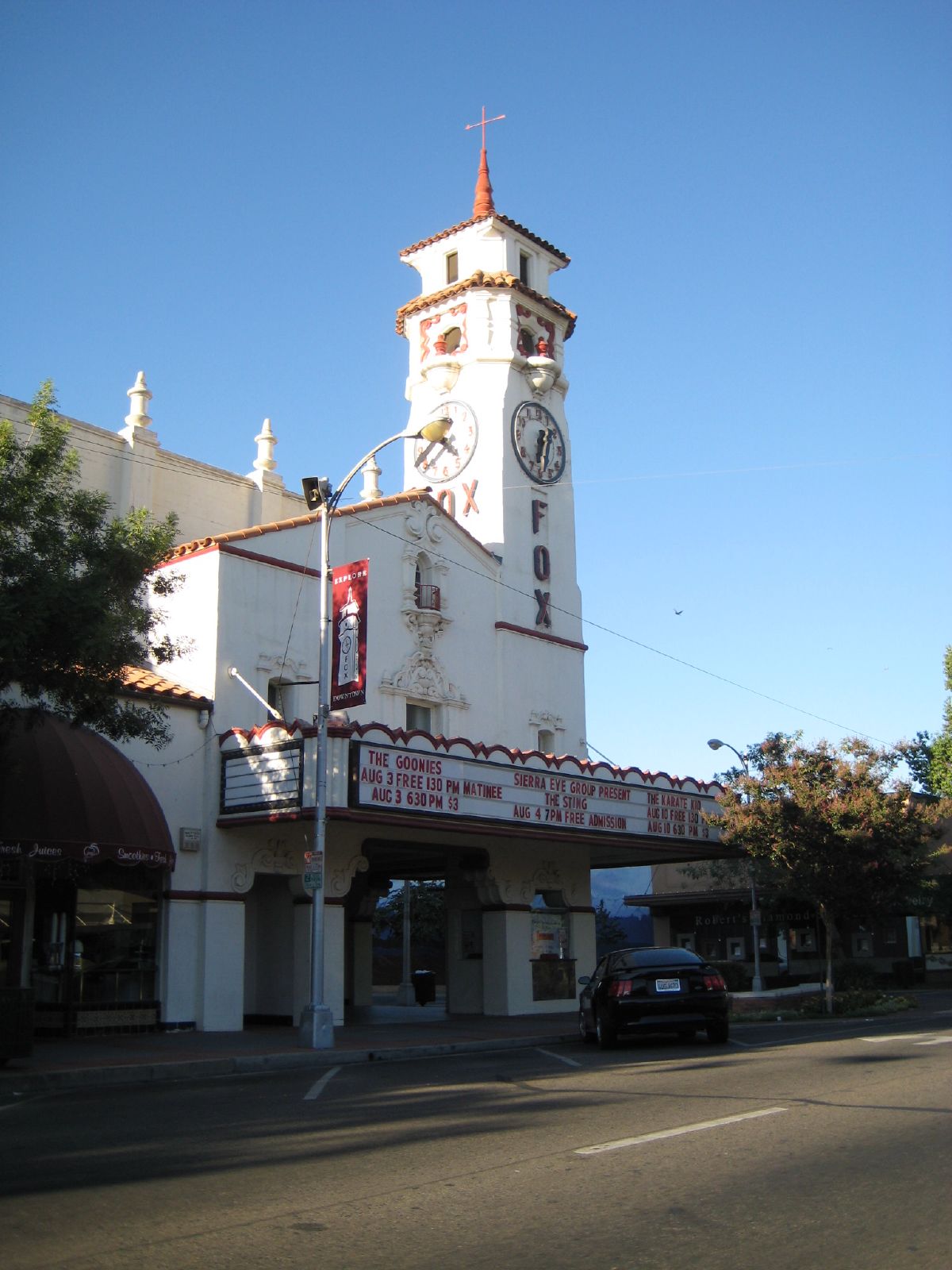
old fox theater

7D2_8219 crop COKI-eBird.org bottom_2200x1474

7D2_8230 crop GRSC-eBird.org bottom_844x551
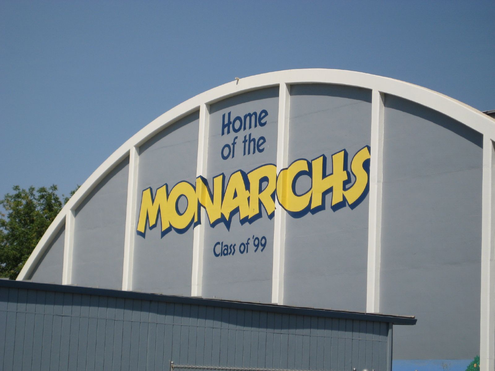
home of the monarchs
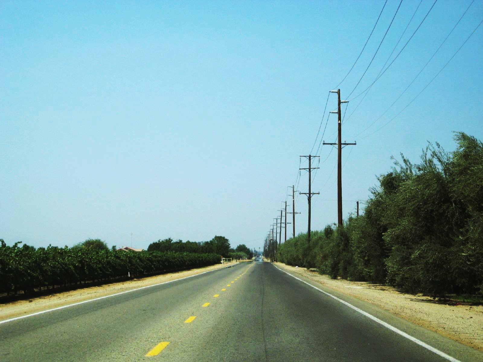
grapes on left, olives on right
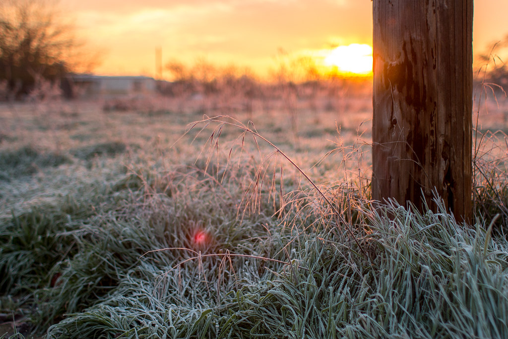
Frosty Morning
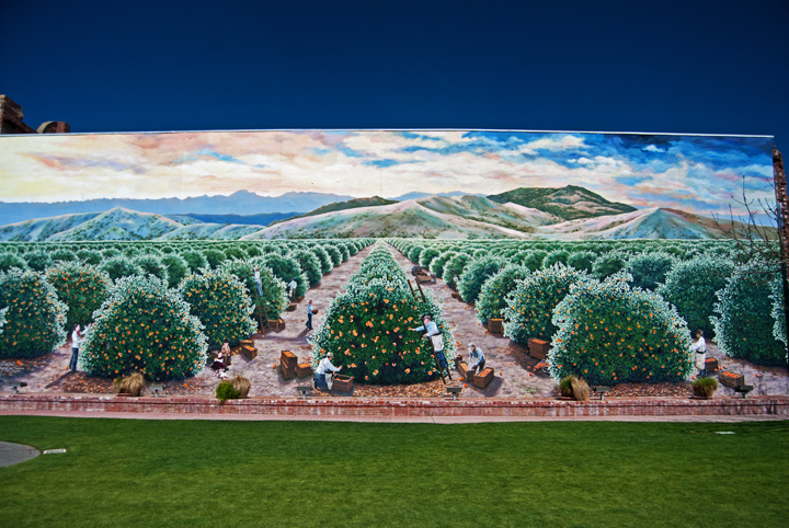
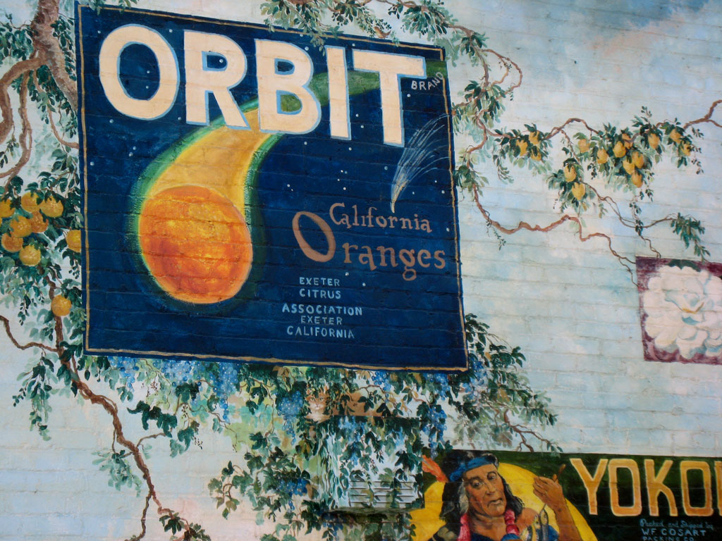
Exeter Orange Grove

#superfiltered swirlies and soft straight lines.

Red Sky
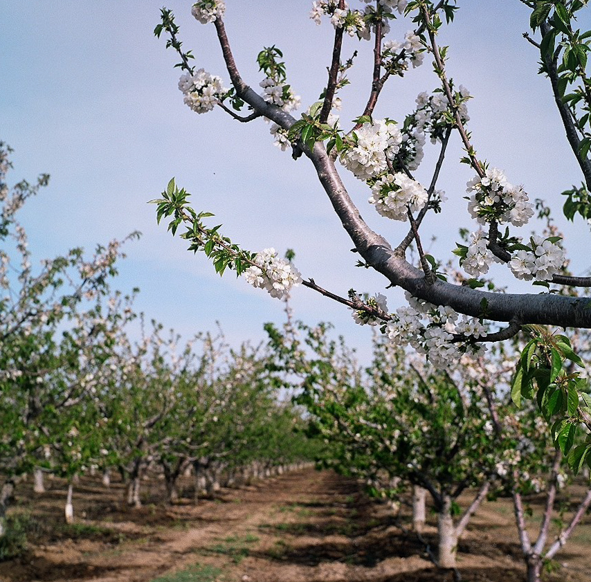
Orchard In Bloom
Beetle Rock view, Sequoia National Park.
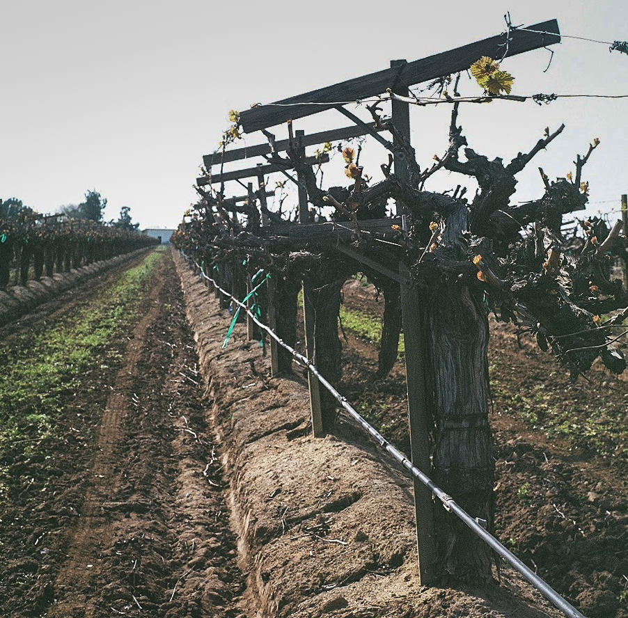
Young Vines
Snow plowed road end of may

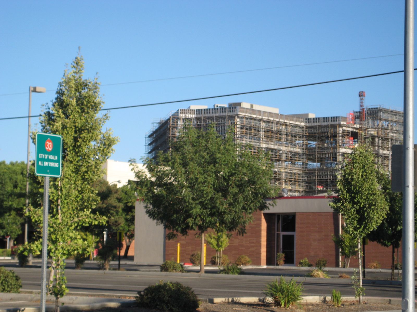
Downtown Visalia

in Salem

Golden Yellow
Sentinel has Yami's back...

Vintage; All The Cool Kids Are Doin' It

Hello Mr.Bumble Bee
*День пятнадцатый. 4566 км. Пять часов по серпантину без навигатора, чтобы вернуться туда, откуда начали, но уже с пустым баком. А что, зато виды красивые
Small Mountains
The original
Cooled Down
Grassy plains
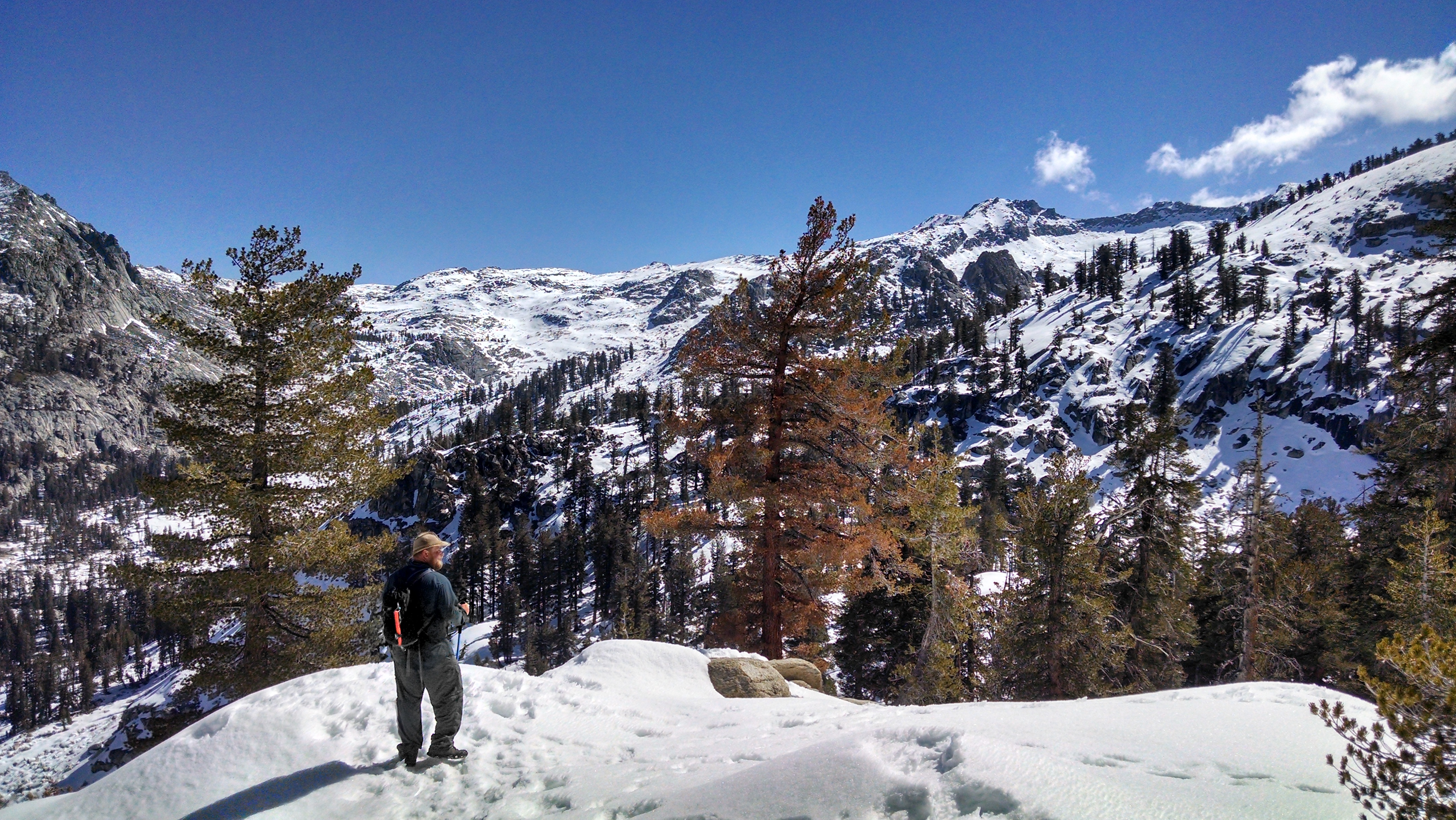
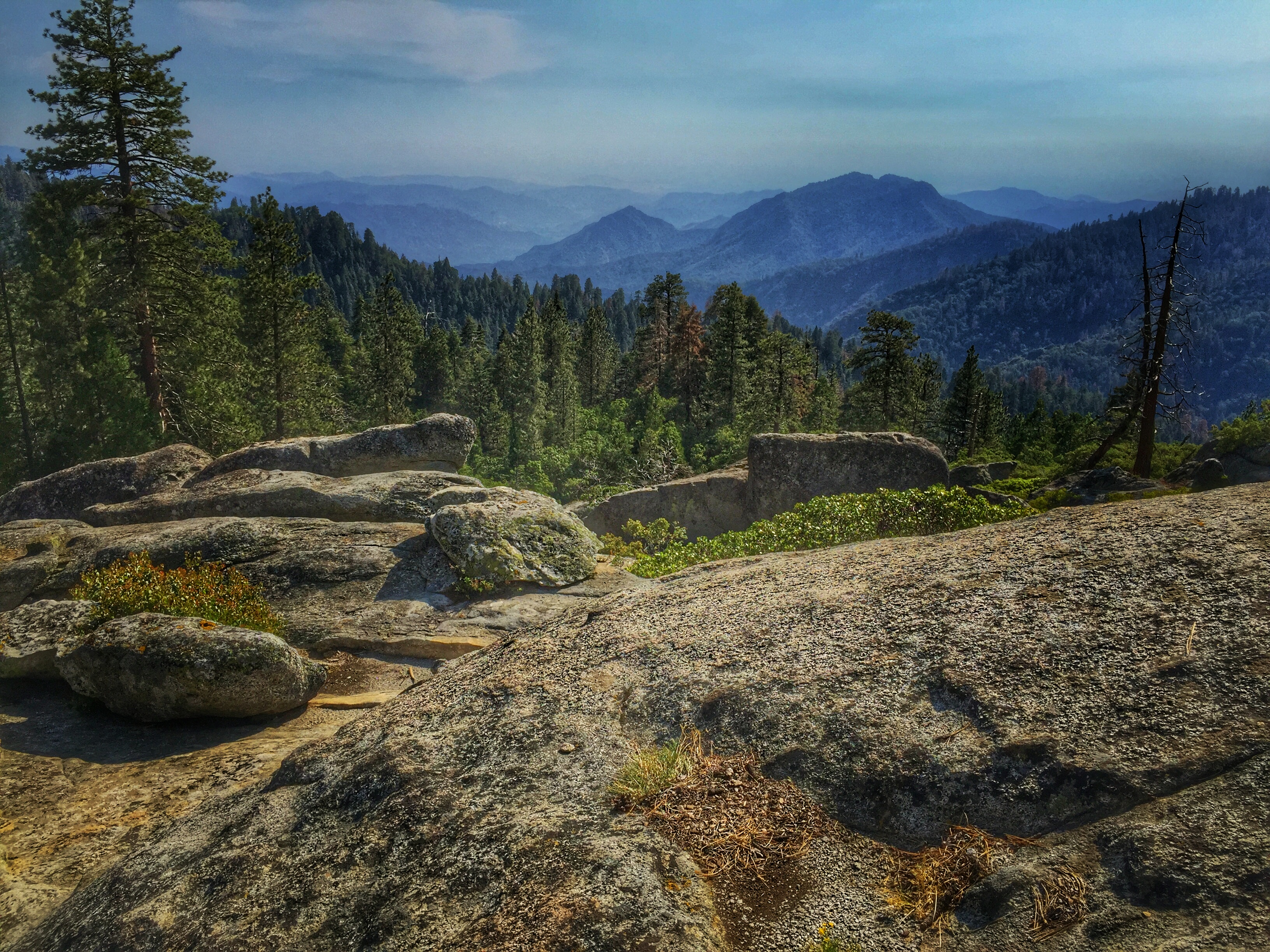
At the top of the Hump Trail in Sequoia National Park
Topographic Map of Ave, Tulare, CA, USA
Find elevation by address:

Places near Ave, Tulare, CA, USA:
Avenue, Tulare, CA, USA
13560 Avenue 256
Sundale Union School District
Spyglass Street
2657 Turnberry Ct
1101 N Cherry St
Rd, Tulare, CA, USA
1301 Mesa Ct
E K Ave, Visalia, CA, USA
1905 S Gowdy St
3344 W La Vida Ave
Rd, Visalia, CA, USA
Mount Whitney High School
98 E Mineral King Ave
Visalia
1805 E Main St
Rayhill Brake & Wheel Shop
3420 E Finni Ct
320 S Simon St
937 N Highland St
Recent Searches:
- Elevation of Woolwine, VA, USA
- Elevation of Lumagwas Diversified Farmers Multi-Purpose Cooperative, Lumagwas, Adtuyon, RV32+MH7, Pangantucan, Bukidnon, Philippines
- Elevation of Homestead Ridge, New Braunfels, TX, USA
- Elevation of Orchard Road, Orchard Rd, Marlborough, NY, USA
- Elevation of 12 Hutchinson Woods Dr, Fletcher, NC, USA
- Elevation of Holloway Ave, San Francisco, CA, USA
- Elevation of Norfolk, NY, USA
- Elevation of - San Marcos Pass Rd, Santa Barbara, CA, USA
- Elevation of th Pl SE, Issaquah, WA, USA
- Elevation of 82- D Rd, Captain Cook, HI, USA