Elevation of Austin Township, MO, USA
Location: United States > Missouri > Cass County >
Longitude: -94.335963
Latitude: 38.5099985
Elevation: 241m / 791feet
Barometric Pressure: 98KPa
Elevation Map:
Satellite Map:
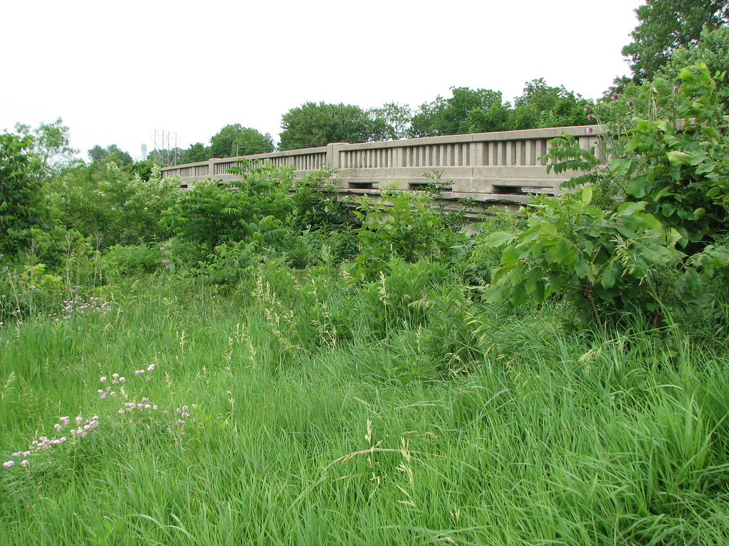
Related Photos:

Suits and Boots

All of my shelf
Tennessee Creek-Side View

Clear Skies

Autumn reflections

#snow

Setting Midwestern Sun
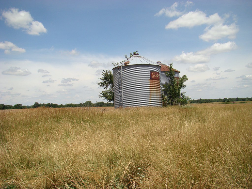
Anderson M. Frazier farm
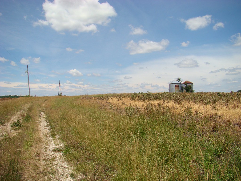
Anderson M. Frazier homestead
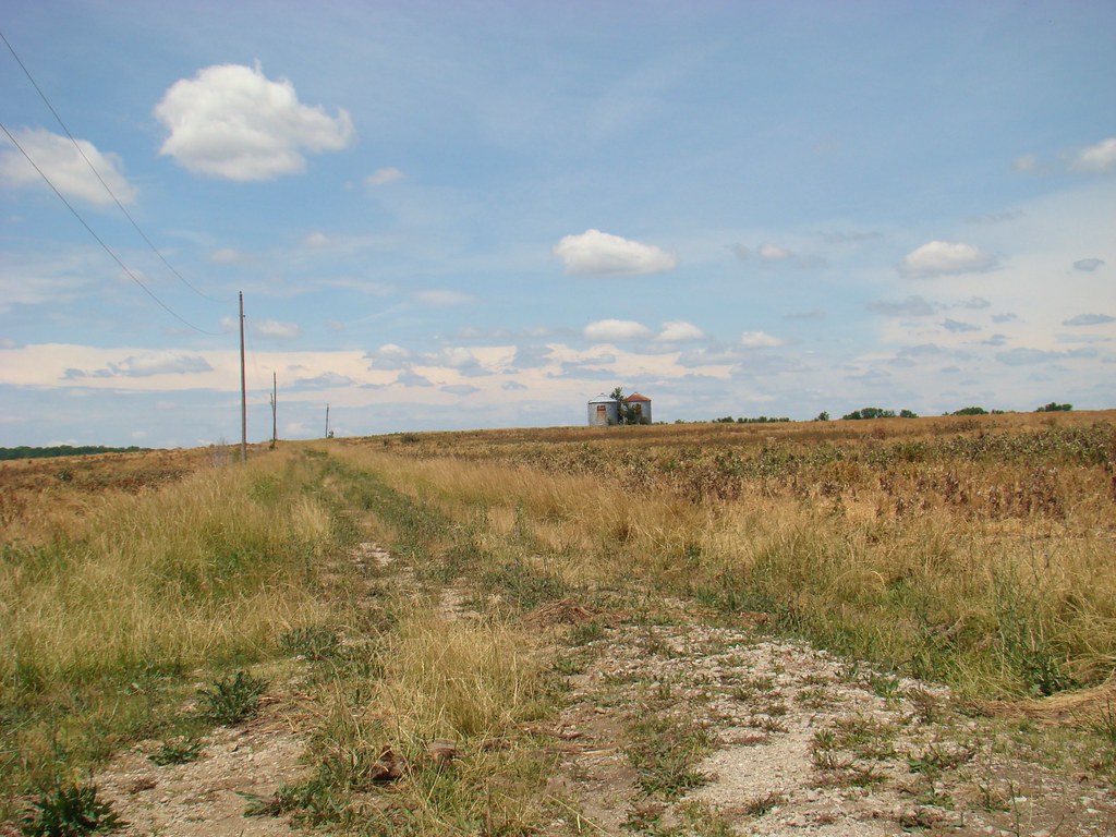
Anderson M. Frazier farmstead

Autumn Field
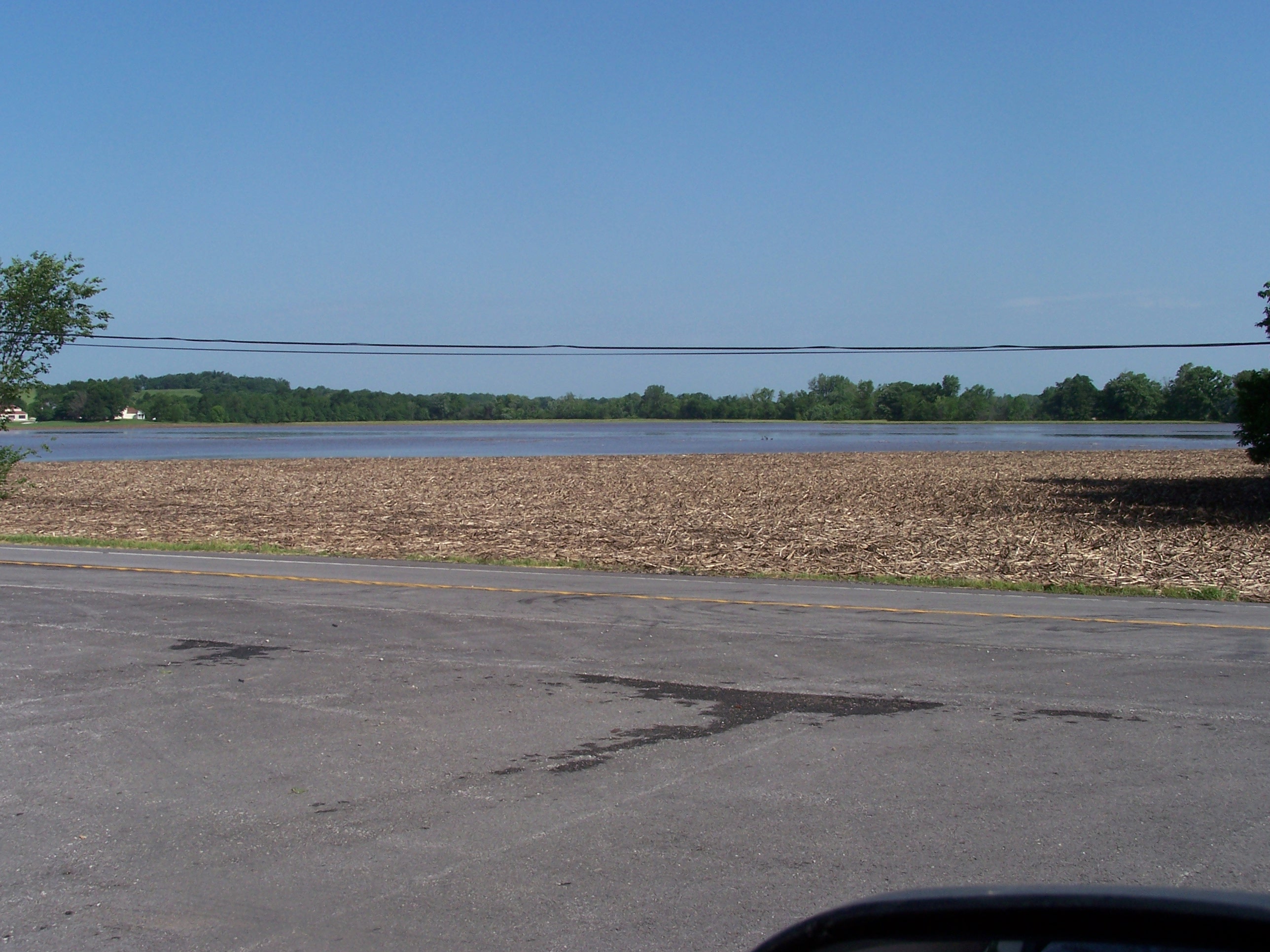
2highway flooding
Topographic Map of Austin Township, MO, USA
Find elevation by address:

Places in Austin Township, MO, USA:
Places near Austin Township, MO, USA:
Archie
MO-T, Archie, MO, USA
56 E Main St, Adrian, MO, USA
Cass County
State Hwy A, Drexel, MO, USA
Mound Township
State Hwy F, Passaic, MO, USA
Passaic
Bates County
Freeman
Dolan Township
Coldwater Township
Peculiar Township
Ore Rd, Pleasant Hill, MO, USA
West Boone Township
16950 S Jog Rd
West Peculiar Township
Peculiar
2245 E 347th St
West Dolan Township
Recent Searches:
- Elevation of 24 Oakland Rd #, Scotland, ON N0E 1R0, Canada
- Elevation of Deep Gap Farm Rd E, Mill Spring, NC, USA
- Elevation of Dog Leg Dr, Minden, NV, USA
- Elevation of Dog Leg Dr, Minden, NV, USA
- Elevation of Kambingan Sa Pansol Atbp., Purok 7 Pansol, Candaba, Pampanga, Philippines
- Elevation of Pinewood Dr, New Bern, NC, USA
- Elevation of Mountain View, CA, USA
- Elevation of Foligno, Province of Perugia, Italy
- Elevation of Blauwestad, Netherlands
- Elevation of Bella Terra Blvd, Estero, FL, USA