Elevation of Auburn, ON N0M, Canada
Location: Canada > Ontario > Huron County > Ashfield-colborne-wawanosh >
Longitude: -81.532687
Latitude: 43.773398
Elevation: 293m / 961feet
Barometric Pressure: 98KPa
Elevation Map:
Satellite Map:
Related Photos:
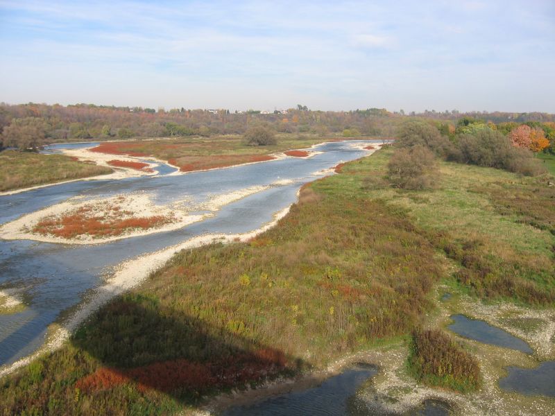
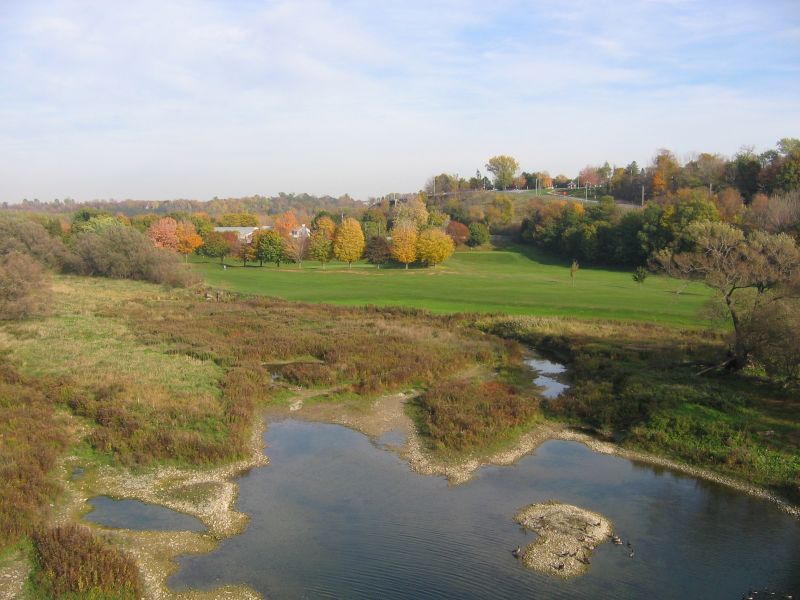
View From Trail Bridge

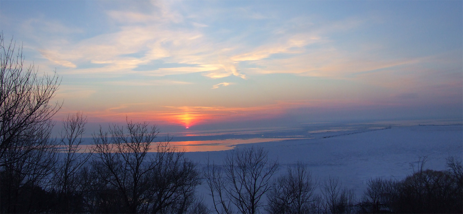
Lake Huron in Winter 1
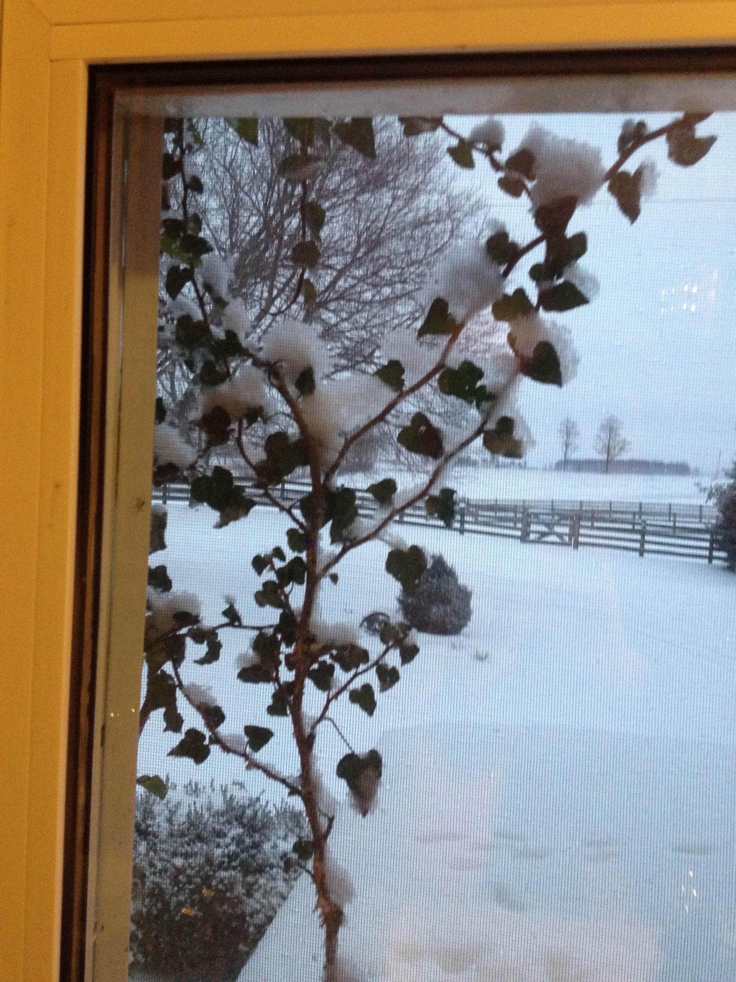
Day 18: View through the kitchen window

The View from Inside
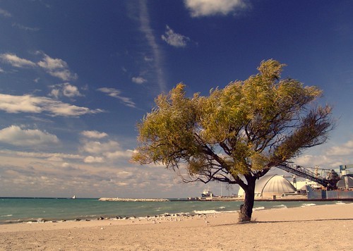
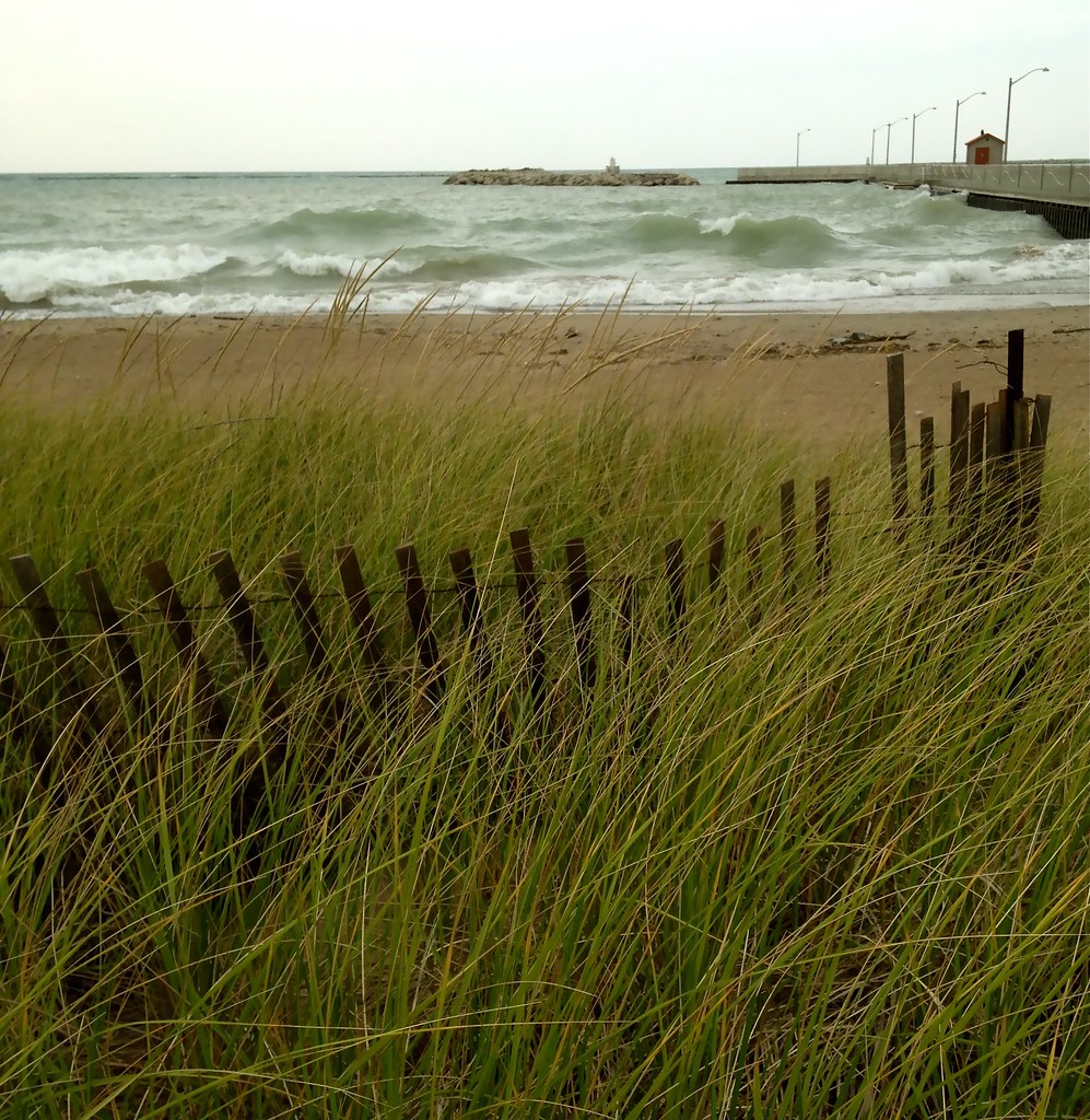
Goderich Beach

Goderich Grain Elevators #3
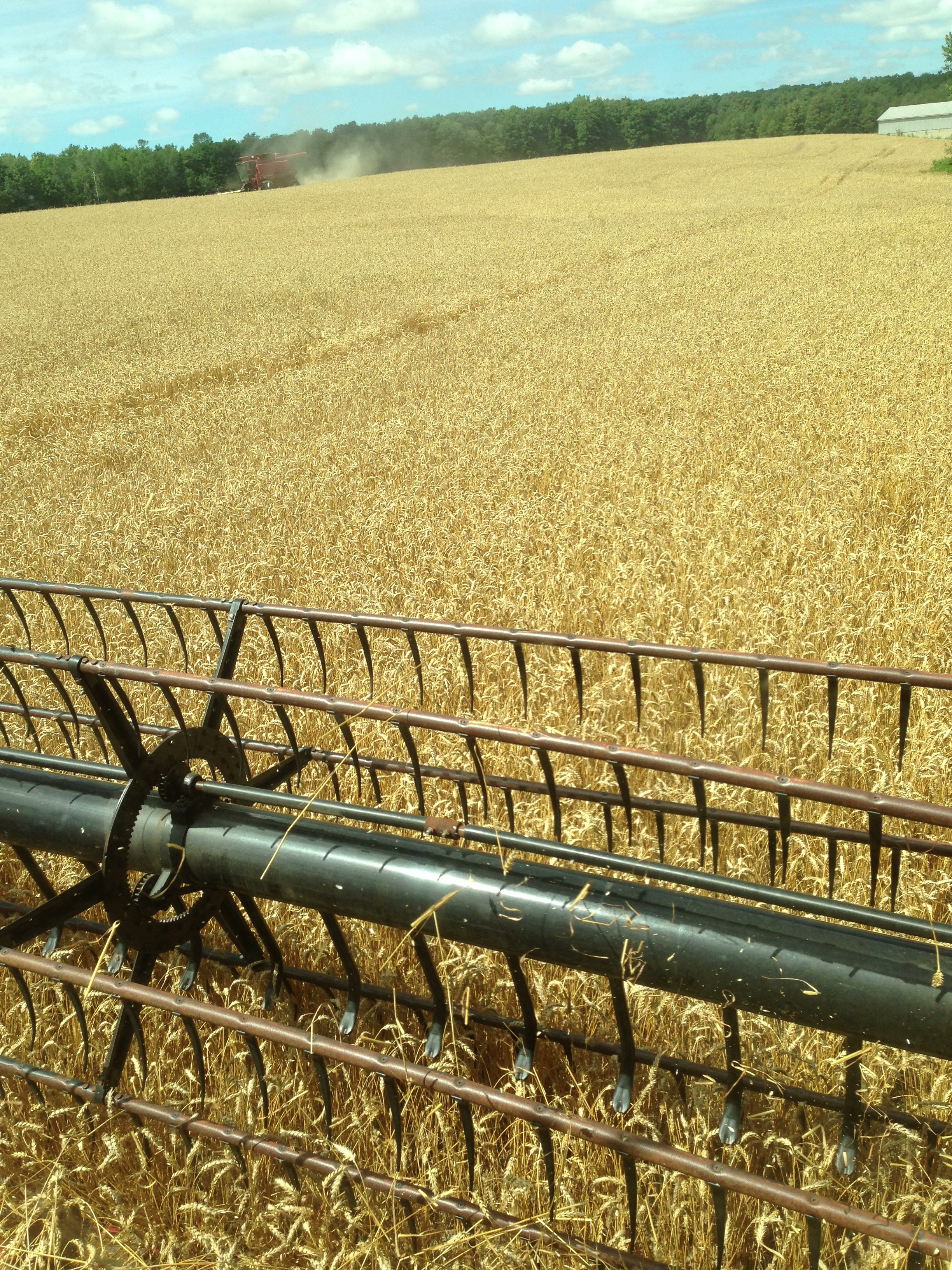
Day 205: View from my combine as the wheat harvest begins.
View From Trail Bridge

Maitland River Clouds

Day 299: View from my front porch

Lake Huron December Skies
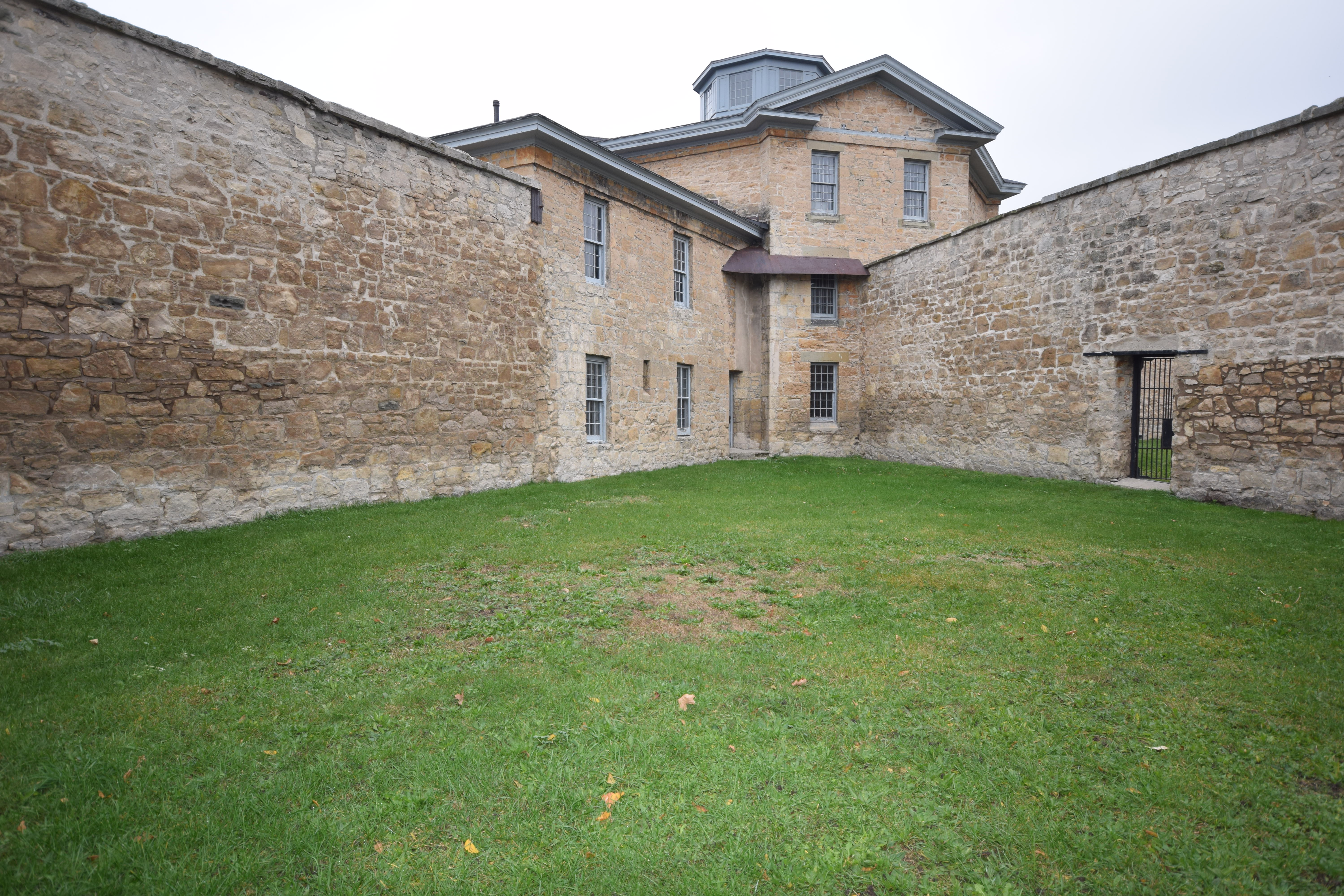
Jail Courtyard
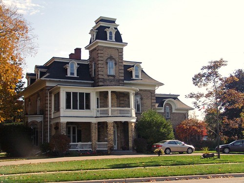
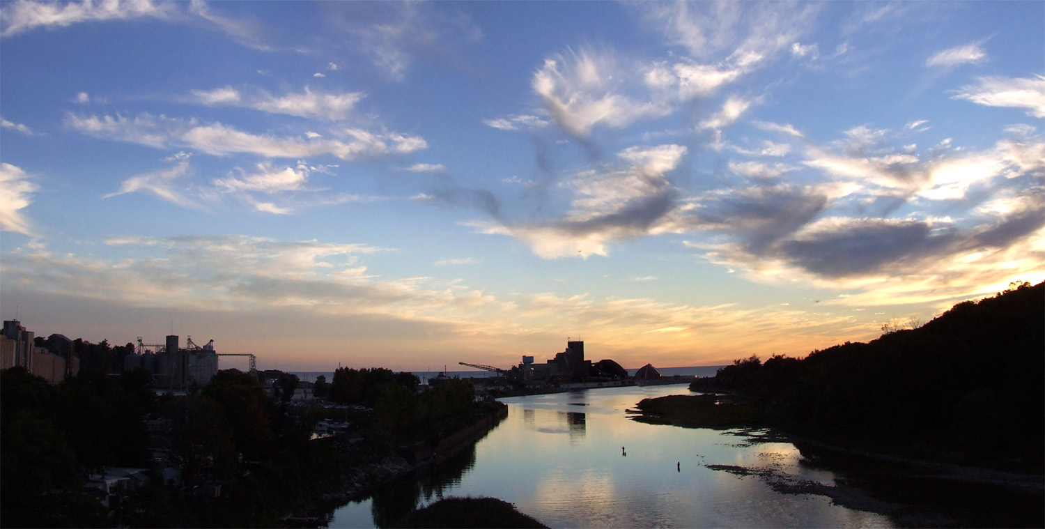
Goderich, Ontario
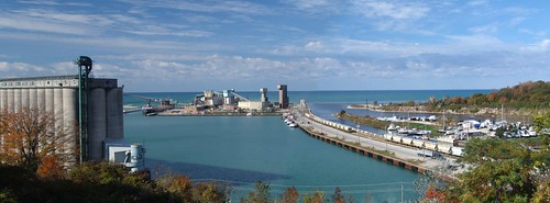
Overlooking Harbour

Benmiller River Mill.jpg

Harbour Park Rain
Lakeshore Panorama
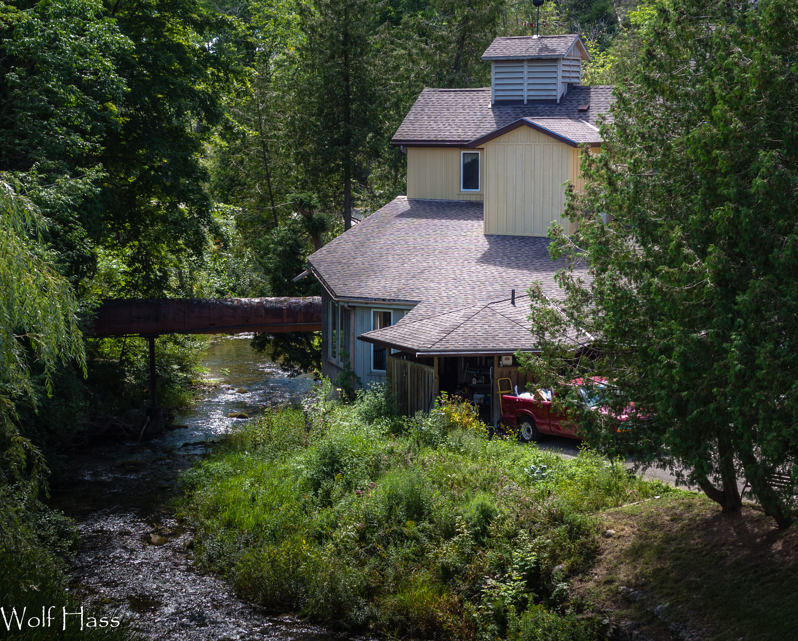
Benmiller Woolen Mill.jpg

Day 74: You Won't Believe Who Called Into the East Street Station
View From The Bridge
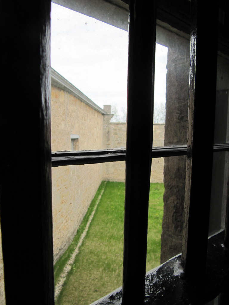
View from Cell
Goderich fence

Salt Mine - Goderich - Ontario - Canada

Forest Stroll

August 21, 2011
Windy November Beach

Looking west towards Londesboro, ON Canada

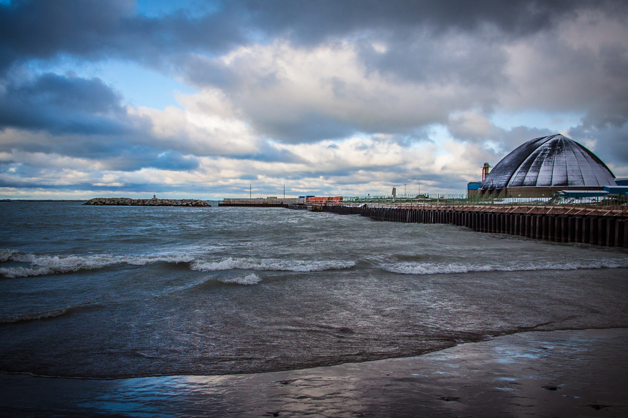
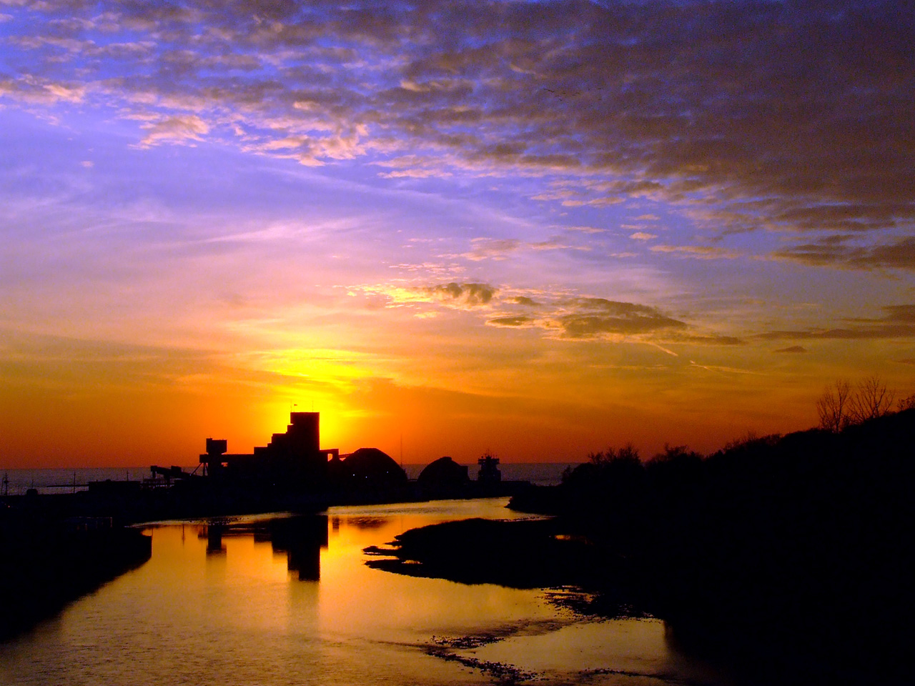
Goderich Port After Sunset
Maitland 2
On the way home last evening from Londesboro, ON Canada, Sept. 4-09-10

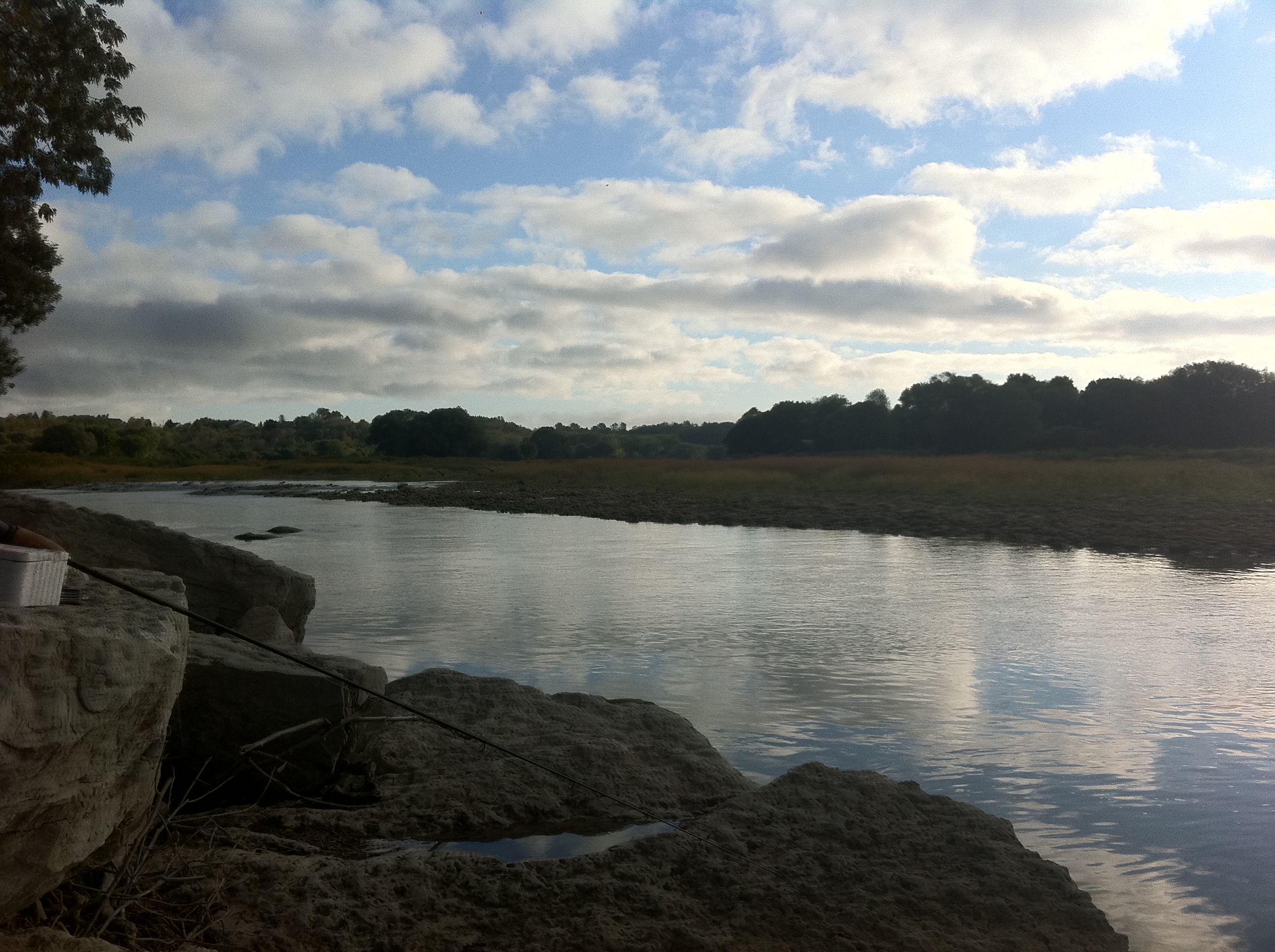
The Lone Fisherman.
Benmiller Falls 1
Primeval ice jaws

Stooks of hay ~ after a long, hard, hot summer day's labour.
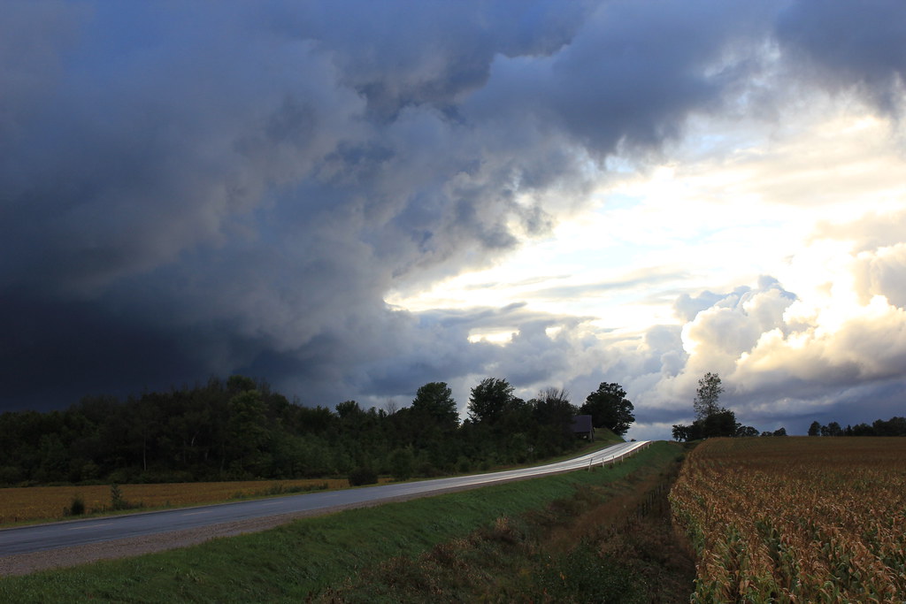
Tornado Storm Clouds
Falls Reserve Conservation Area
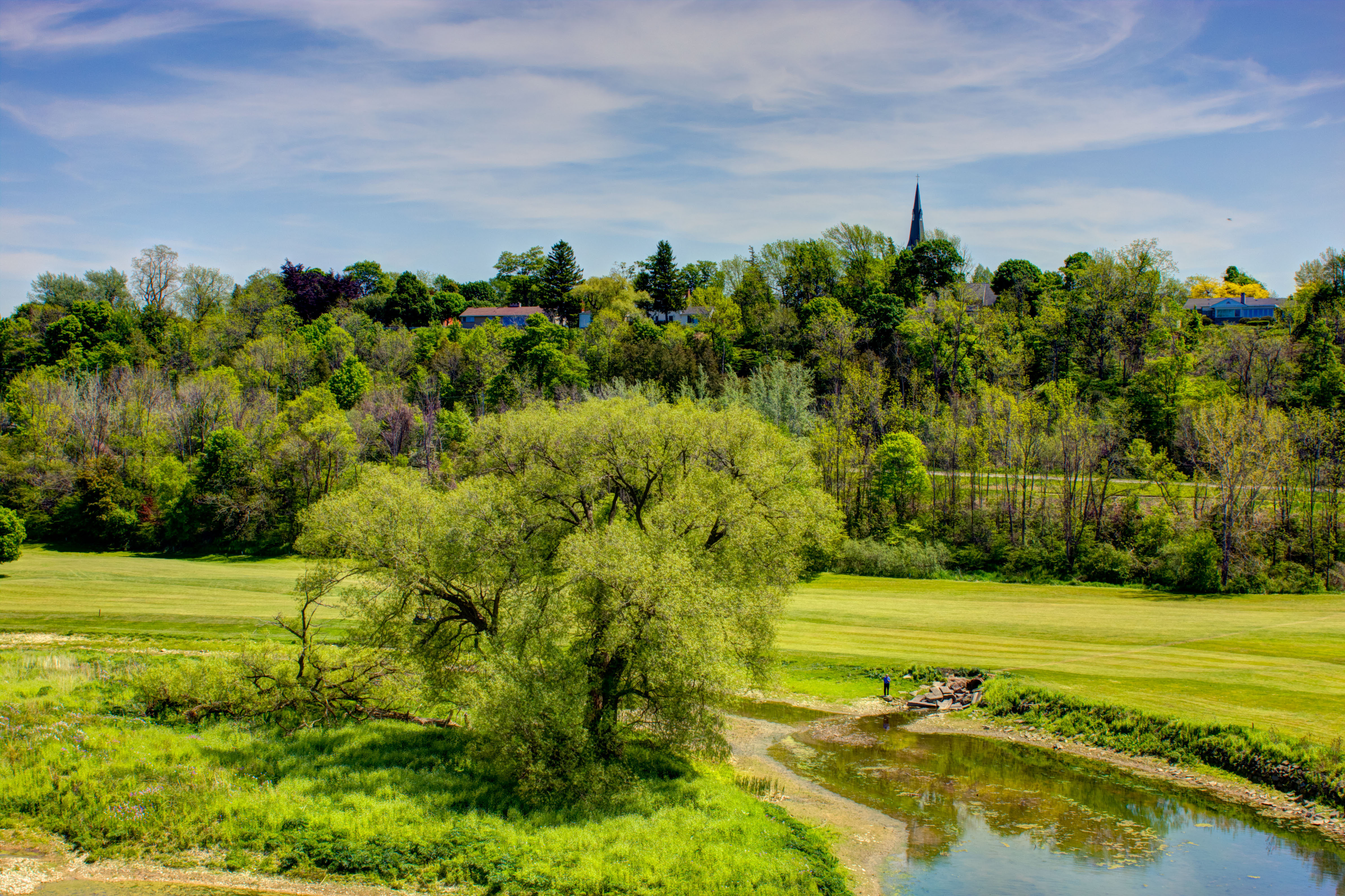
Maitland River
Canada Geese
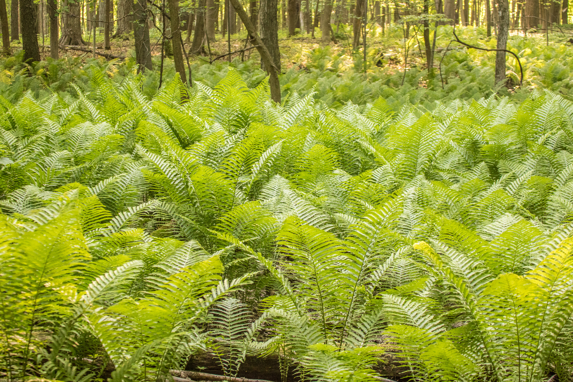
Fern Gully
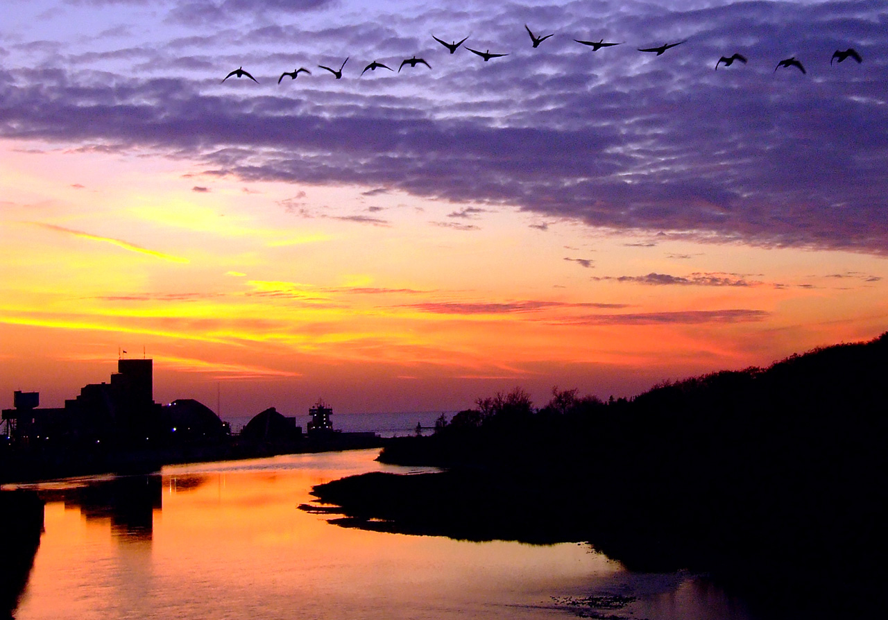
Sifto Sunset 3

Winsotn Churchill??? - Lake Huron, Sunset - Aug 1
Topographic Map of Auburn, ON N0M, Canada
Find elevation by address:

Places in Auburn, ON N0M, Canada:
Places near Auburn, ON N0M, Canada:
83343 Scott Line
Glens Hill Rd, Auburn, ON N0M 1E0, Canada
Marnoch Line, Belgrave, ON N0G 1E0, Canada
Londesborough
Victoria St, Londesborough, ON N0M 2H0, Canada
Blyth
Central Huron
Donnybrook Line, Lucknow, ON N0G 2H0, Canada
North Huron
98 Rattenbury St
98 Rattenbury St W
Clinton
5 Albert St, Clinton, ON N0M 1L0, Canada
38 Victoria St
38 Victoria St
38 Victoria St
38 Victoria St
60 Walker St
19 Brandon Rd
Brandon Road
Recent Searches:
- Elevation of Woodland Oak Pl, Thousand Oaks, CA, USA
- Elevation of Brownsdale Rd, Renfrew, PA, USA
- Elevation of Corcoran Ln, Suffolk, VA, USA
- Elevation of Mamala II, Sariaya, Quezon, Philippines
- Elevation of Sarangdanda, Nepal
- Elevation of 7 Waterfall Way, Tomball, TX, USA
- Elevation of SW 57th Ave, Portland, OR, USA
- Elevation of Crocker Dr, Vacaville, CA, USA
- Elevation of Pu Ngaol Community Meeting Hall, HWHM+3X7, Krong Saen Monourom, Cambodia
- Elevation of Royal Ontario Museum, Queens Park, Toronto, ON M5S 2C6, Canada