Elevation of Athani, Karnataka, India
Location: India > Karnataka > Belagavi >
Longitude: 75.1078332
Latitude: 16.6965722
Elevation: 600m / 1968feet
Barometric Pressure: 94KPa
Elevation Map:
Satellite Map:
Related Photos:

Close to home
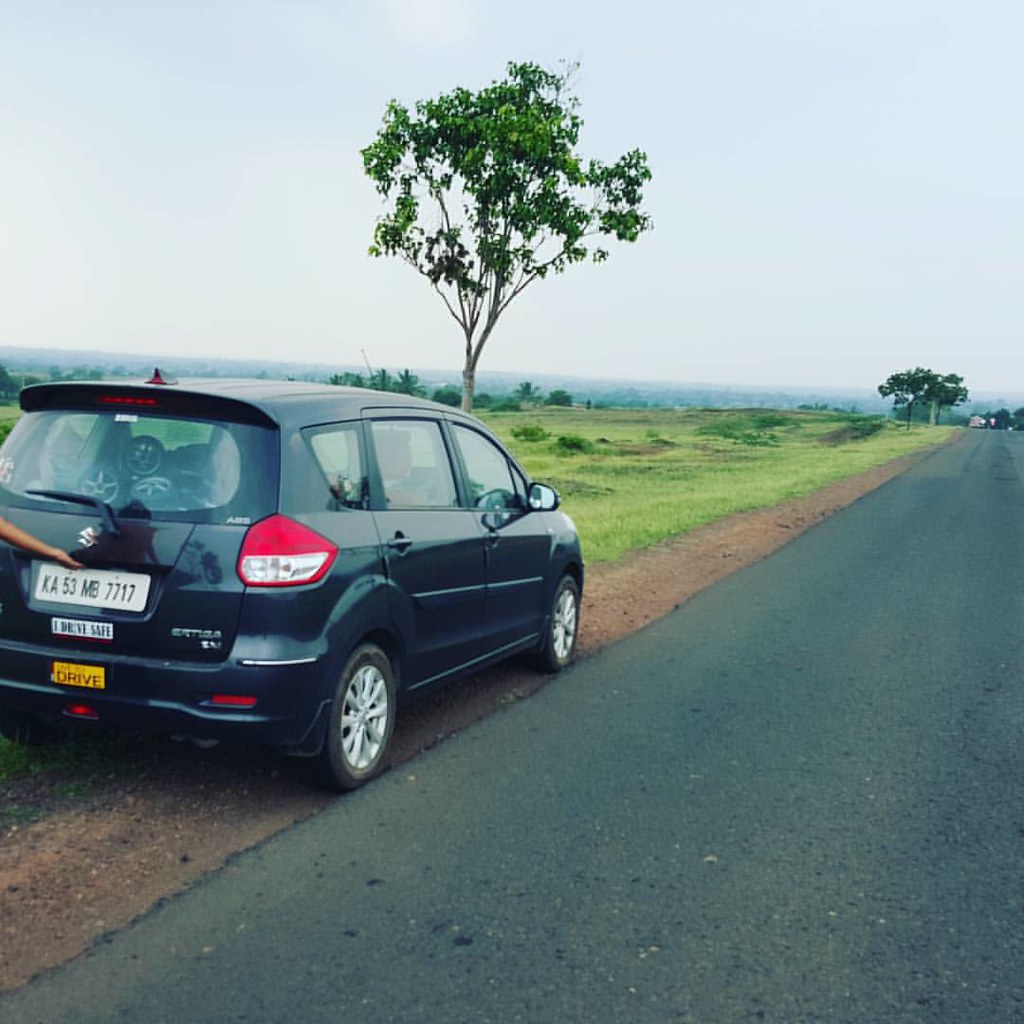
On way to home
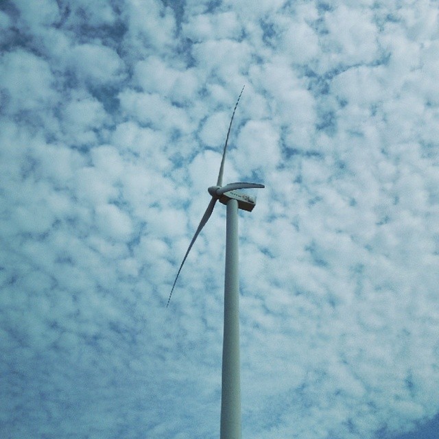
#WindTurbine #blades #blue #sky

Raayara Matha

Raayara Matha

S.M.S College

S.M.S College

S.M.S College

S.M.S College

J.A. High School

07072008(003)_NLT
Topographic Map of Athani, Karnataka, India
Find elevation by address:

Places in Athani, Karnataka, India:
Places near Athani, Karnataka, India:
Athani
Khot Vasti
Royal Palace School & P U College
Jamkhandi
Santoshwadi
Shipur
Vyankuchiwadi
Khanatti
Patil Vasati
Erandoli
Raibag
Primary School Nagargojewadi
Mudhol
Ganeshwadi
Malgaon
Bolwad
Khidrapur
Hasur
Takali
Miraj - Malgaon Main Road
Recent Searches:
- Elevation of Corso Fratelli Cairoli, 35, Macerata MC, Italy
- Elevation of Tallevast Rd, Sarasota, FL, USA
- Elevation of 4th St E, Sonoma, CA, USA
- Elevation of Black Hollow Rd, Pennsdale, PA, USA
- Elevation of Oakland Ave, Williamsport, PA, USA
- Elevation of Pedrógão Grande, Portugal
- Elevation of Klee Dr, Martinsburg, WV, USA
- Elevation of Via Roma, Pieranica CR, Italy
- Elevation of Tavkvetili Mountain, Georgia
- Elevation of Hartfords Bluff Cir, Mt Pleasant, SC, USA