Elevation of Erandoli, Maharashtra, India
Location: India > Maharashtra > Sangli >
Longitude: 74.7746684
Latitude: 16.8498609
Elevation: 616m / 2021feet
Barometric Pressure: 94KPa
Elevation Map:
Satellite Map:
Related Photos:

Scaly-breasted munia

Purple Sunbird (शक्कर खोरा, सूर्यपक्षी, शिंजीर)
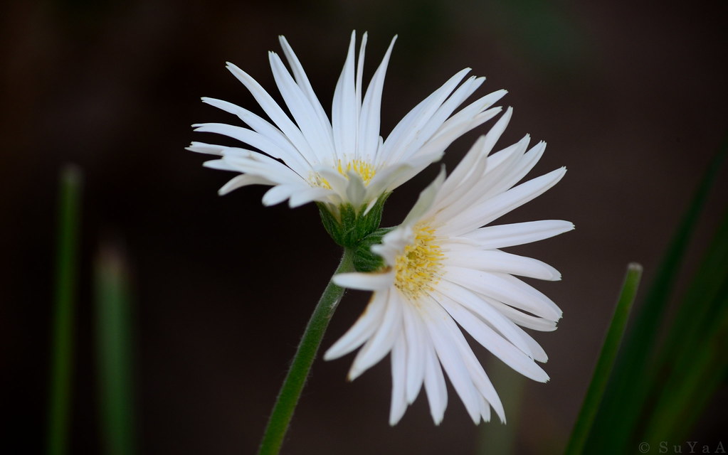
Siamese Twin Gerbera daisy..

Chicken platter after long time

Under Construction

Baya weaver (सुगरण)
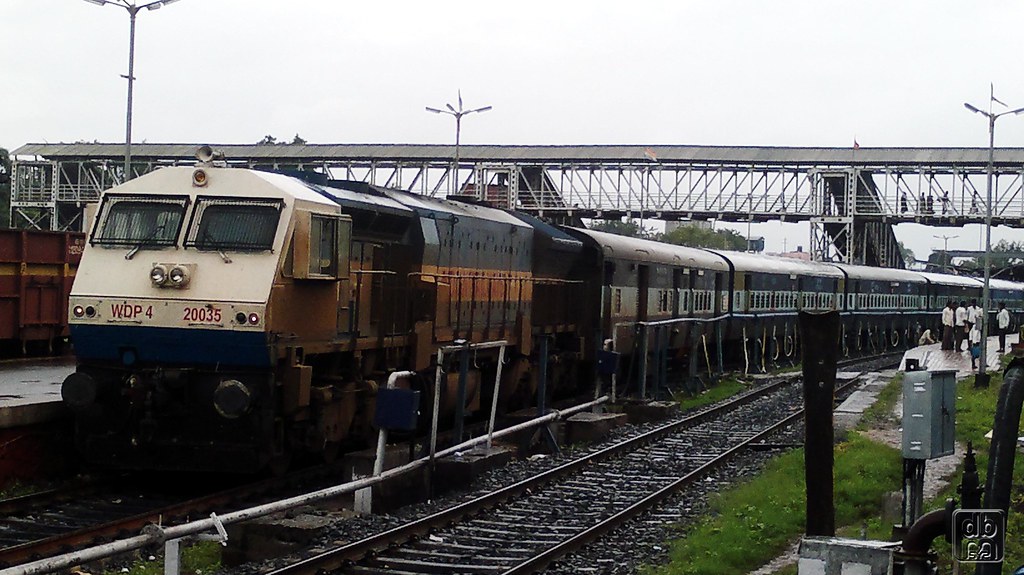
WDP4 20035
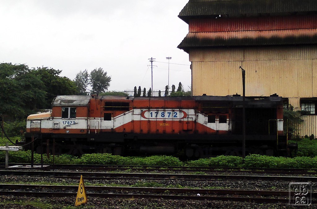
Jumbo WDM2 17872
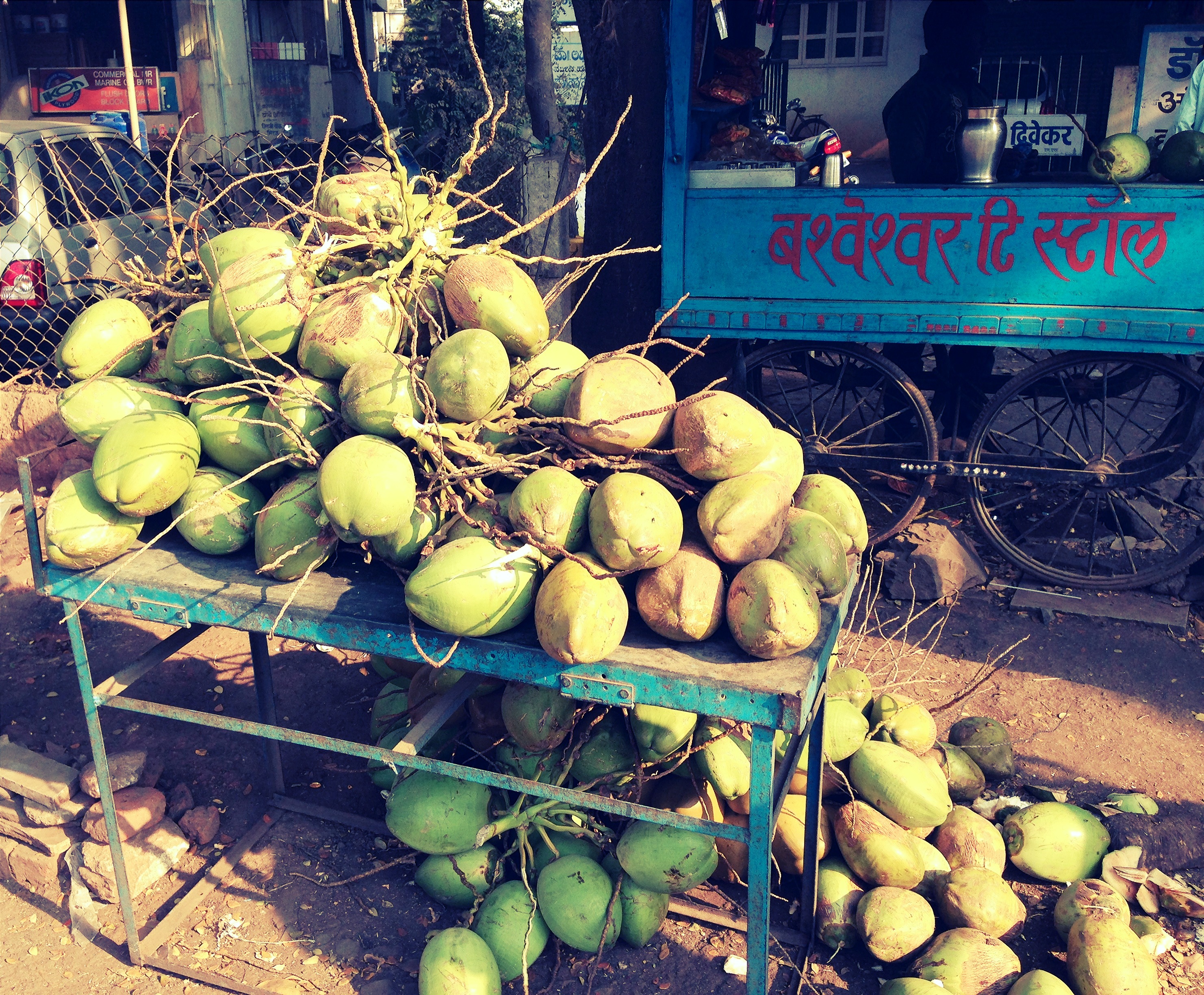
Coconut Water....
Topographic Map of Erandoli, Maharashtra, India
Find elevation by address:

Places near Erandoli, Maharashtra, India:
Vyankuchiwadi
Shipur
Malgaon
Patil Vasati
Primary School Nagargojewadi
Takali
Bolwad
Miraj - Malgaon Main Road
Santoshwadi
Subhashnagar
Shegaon Gajanan Maharaj Mandir
Dindi Ves
Vijapur Ves
Shaniwar Peth
Savali
Shanthisagar Colony
Miraj
Shivaji Nagar
Midc Industrial Area
Samastanagar
Recent Searches:
- Elevation of Gateway Blvd SE, Canton, OH, USA
- Elevation of East W.T. Harris Boulevard, E W.T. Harris Blvd, Charlotte, NC, USA
- Elevation of West Sugar Creek, Charlotte, NC, USA
- Elevation of Wayland, NY, USA
- Elevation of Steadfast Ct, Daphne, AL, USA
- Elevation of Lagasgasan, X+CQH, Tiaong, Quezon, Philippines
- Elevation of Rojo Ct, Atascadero, CA, USA
- Elevation of Flagstaff Drive, Flagstaff Dr, North Carolina, USA
- Elevation of Avery Ln, Lakeland, FL, USA
- Elevation of Woolwine, VA, USA