Elevation of Athani, Karnataka, India
Location: India > Karnataka > Belagavi > Athani >
Longitude: 75.0640929
Latitude: 16.7268811
Elevation: 573m / 1880feet
Barometric Pressure: 95KPa
Elevation Map:
Satellite Map:
Related Photos:

Close to home
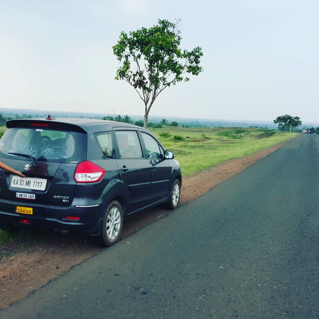
On way to home
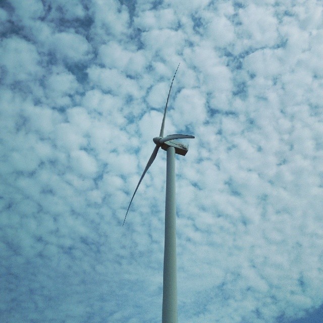
#WindTurbine #blades #blue #sky

Raayara Matha

Raayara Matha

S.M.S College

S.M.S College

S.M.S College

S.M.S College

J.A. High School

07072008(003)_NLT
Topographic Map of Athani, Karnataka, India
Find elevation by address:

Places near Athani, Karnataka, India:
Athani
Khot Vasti
Santoshwadi
Shipur
Vyankuchiwadi
Royal Palace School & P U College
Erandoli
Patil Vasati
Jamkhandi
Primary School Nagargojewadi
Raibag
Malgaon
Ganeshwadi
Bolwad
Khanatti
Takali
Hasur
Khidrapur
Miraj - Malgaon Main Road
Subhashnagar
Recent Searches:
- Elevation of Rojo Ct, Atascadero, CA, USA
- Elevation of Flagstaff Drive, Flagstaff Dr, North Carolina, USA
- Elevation of Avery Ln, Lakeland, FL, USA
- Elevation of Woolwine, VA, USA
- Elevation of Lumagwas Diversified Farmers Multi-Purpose Cooperative, Lumagwas, Adtuyon, RV32+MH7, Pangantucan, Bukidnon, Philippines
- Elevation of Homestead Ridge, New Braunfels, TX, USA
- Elevation of Orchard Road, Orchard Rd, Marlborough, NY, USA
- Elevation of 12 Hutchinson Woods Dr, Fletcher, NC, USA
- Elevation of Holloway Ave, San Francisco, CA, USA
- Elevation of Norfolk, NY, USA