Elevation of Arna Township, MN, USA
Location: United States > Minnesota > Pine County >
Longitude: -92.376306
Latitude: 46.1271593
Elevation: 304m / 997feet
Barometric Pressure: 98KPa
Elevation Map:
Satellite Map:
Related Photos:

251/365-Sunset on a Wisconsin prairie
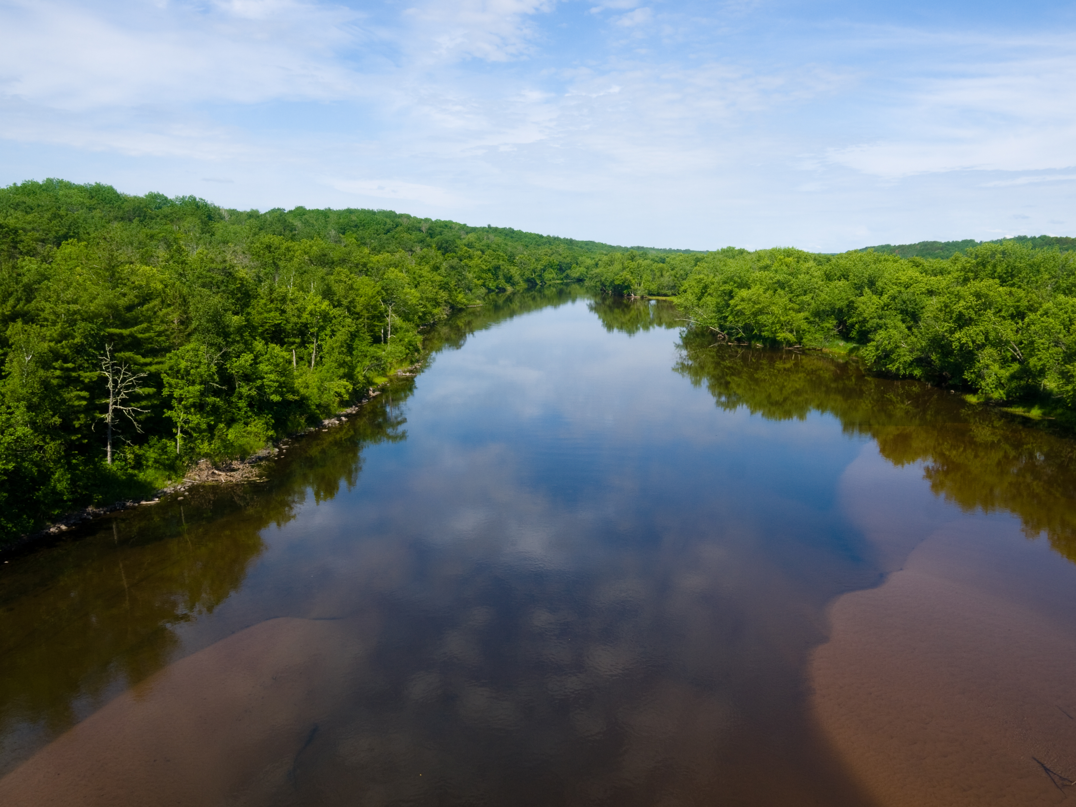
reflections and sandbars
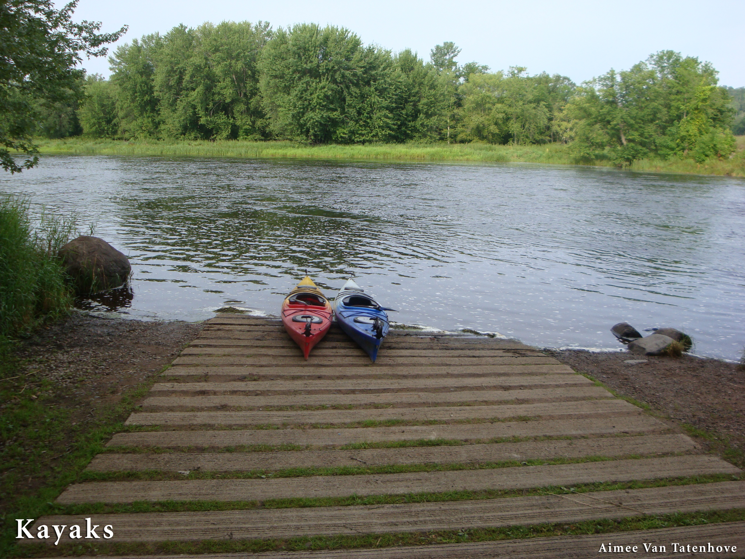
Kayaks at Thayers Landing

Lightshow_over_Chimney.jpg

Kilgore_IMG_1904_1144.jpg

Kilgore_IMG_1911_1218.jpg
DSC_6164.jpg
DSC_6161.jpg

DSC_6160.jpg

DSC_6157.jpg

DSC_6154.jpg
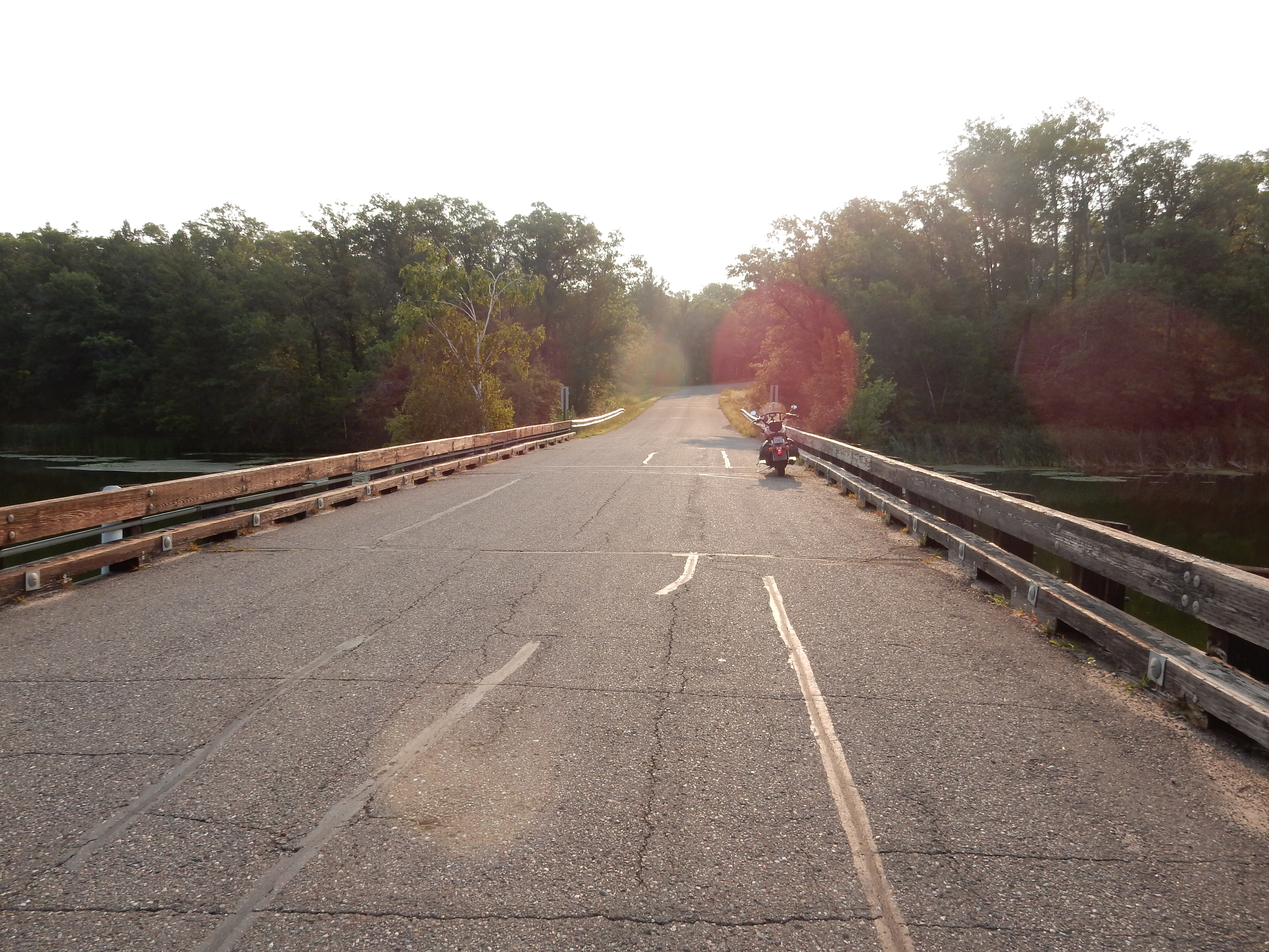
08-29-2015 Ride - Yellow River Rustic on Road R79

08-29-2015 Ride - Yellow River Rustic on Road R79
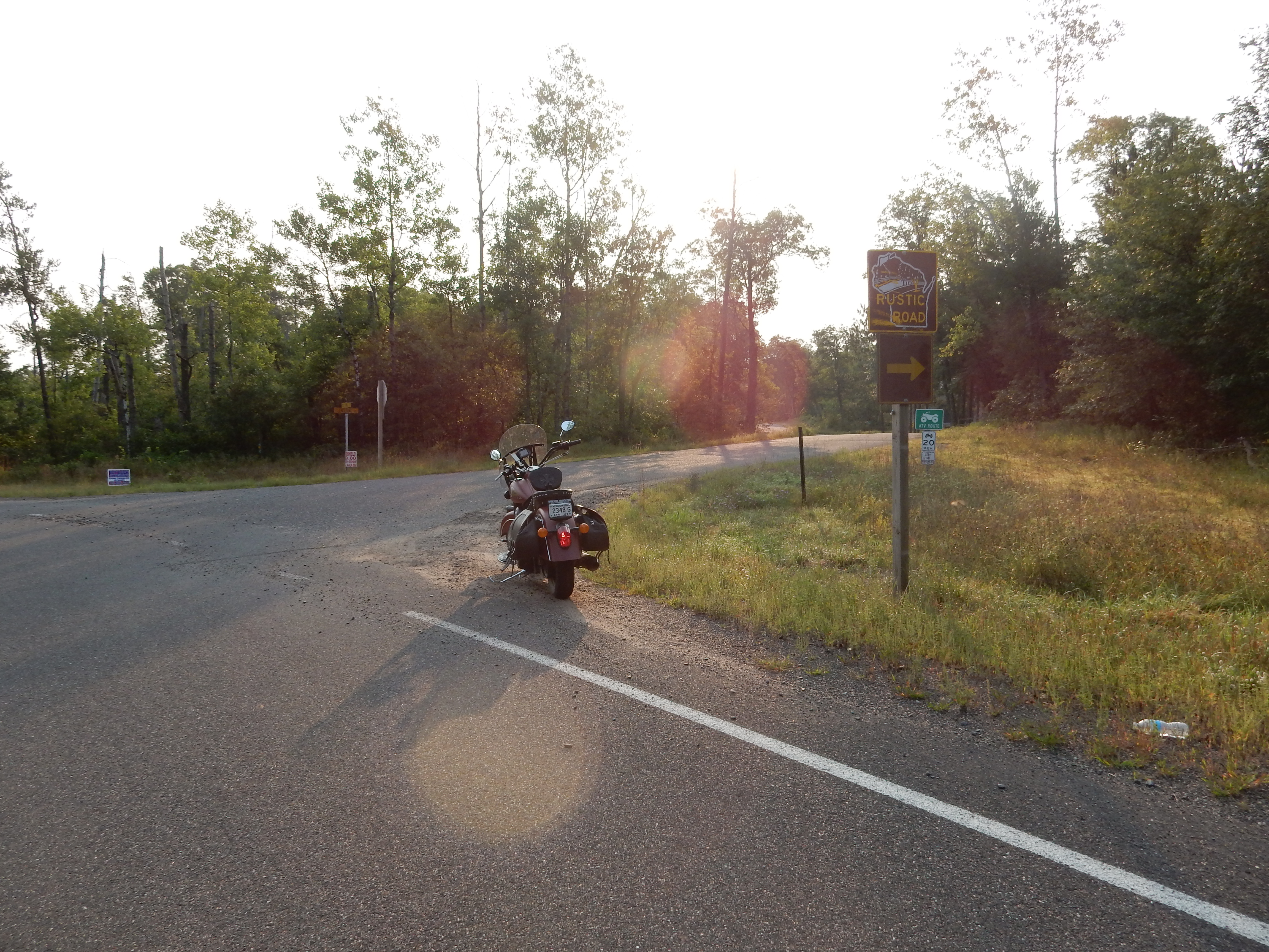
08-29-2015 Ride - Rustic Road R79
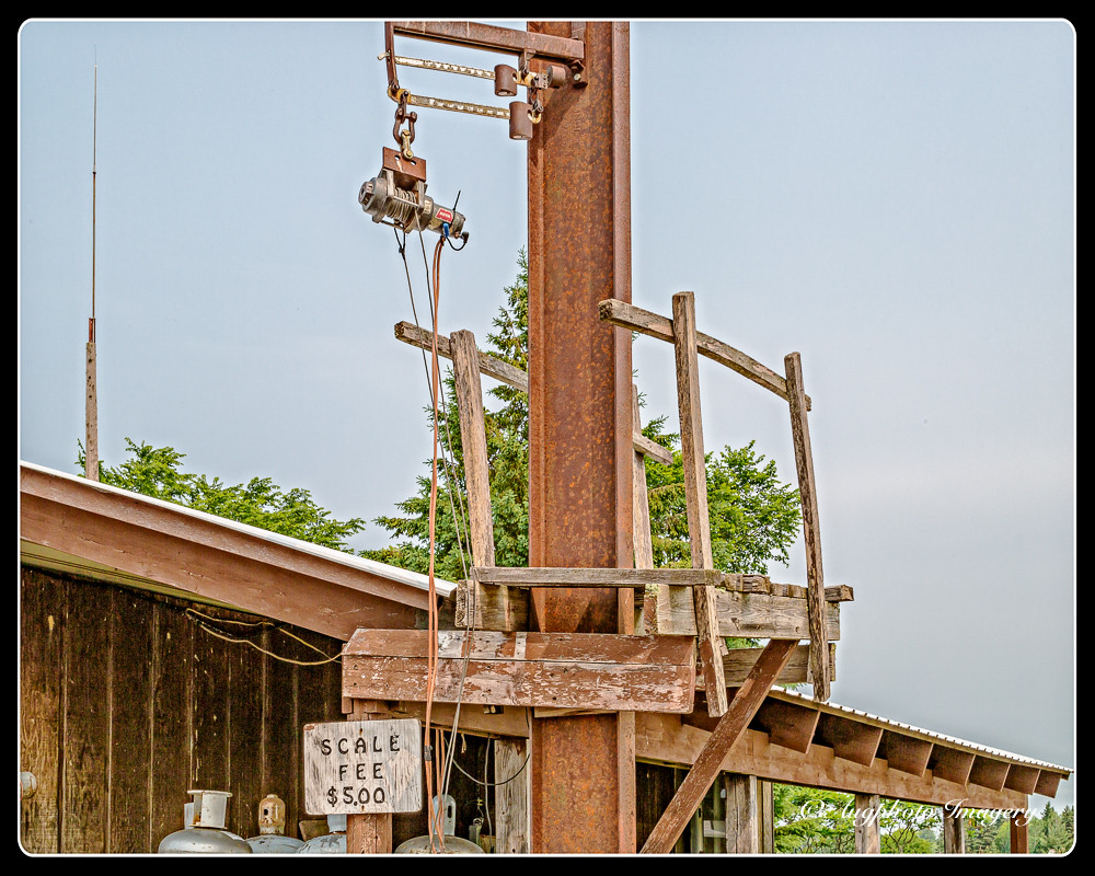
Tall Scale
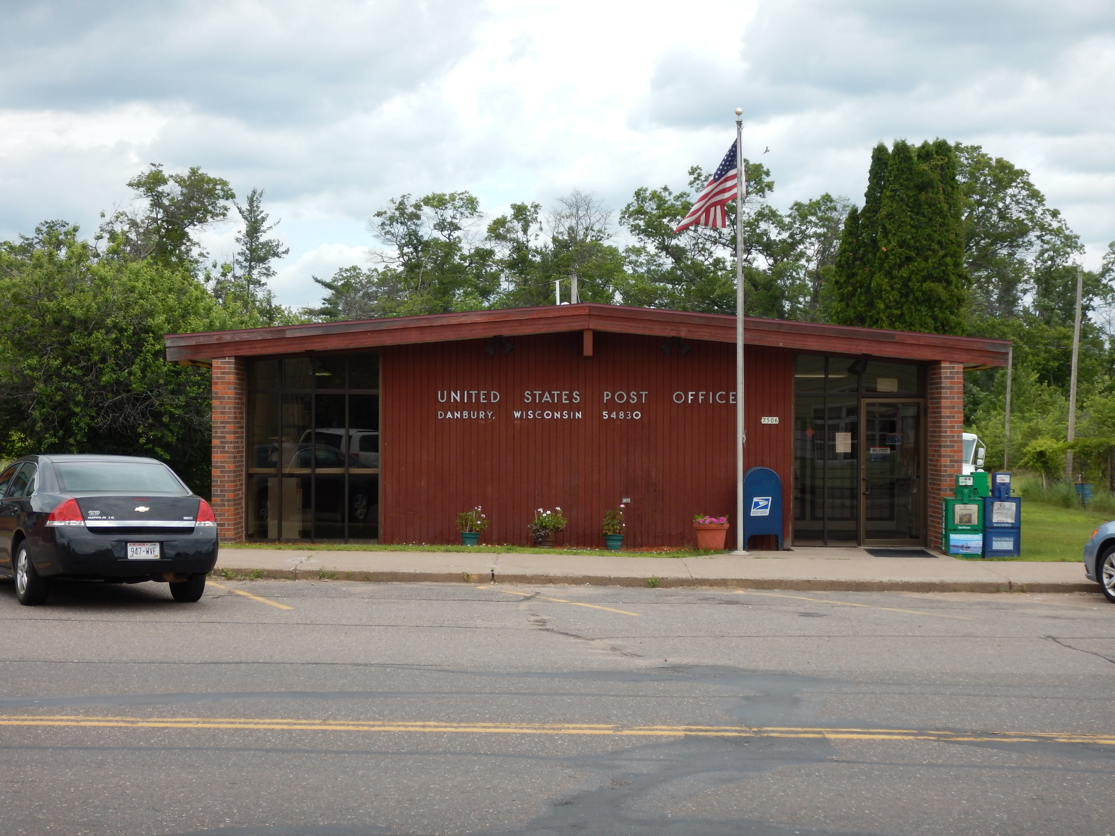
Danbury, WI 54830
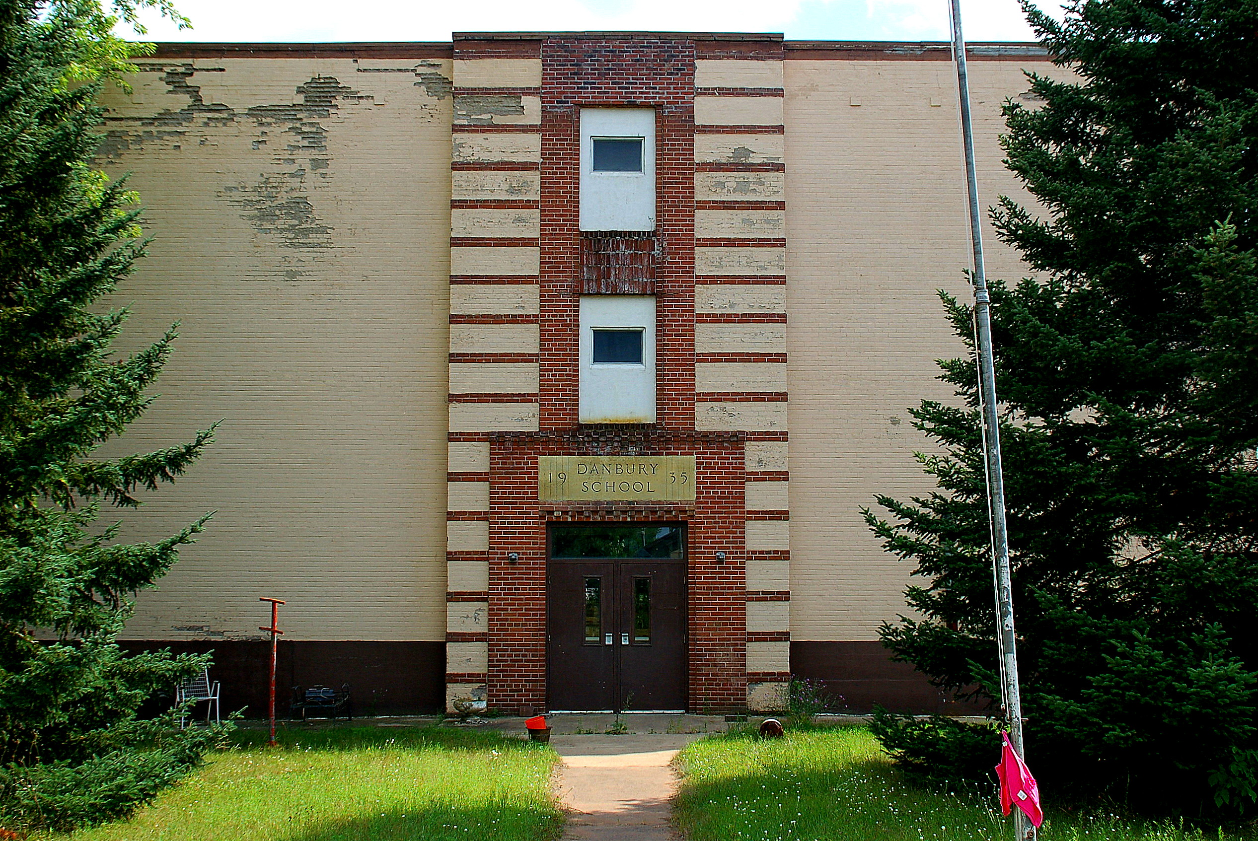
Danbury School

2012-08-17 09.30.32

Trail Cam Pic

Warm boots

Grandparents House in Minong, WI

Greenwood Cemetery, Minong, WI

Greenwood Cemetery, Minong, WI

Late night at the office
Topographic Map of Arna Township, MN, USA
Find elevation by address:

Places in Arna Township, MN, USA:
Places near Arna Township, MN, USA:
Markville
2nd Ave, Markville, MN, USA
Danbury
Lena Lake
County Rd T, Danbury, WI, USA
Park Township
Dairyland
28203 S Johnson Lake Rd
Park Hills Road
4538 Hawks Nest Ct
Webster
Wisconsin 35
Nickerson Township
Bruno Township
Great Bear Pass
8161 Moline Rd
Meenon
Horseshoe Trail, Webster, WI, USA
5609 Co Rd X
5974 Peterson Rd
Recent Searches:
- Elevation of Corso Fratelli Cairoli, 35, Macerata MC, Italy
- Elevation of Tallevast Rd, Sarasota, FL, USA
- Elevation of 4th St E, Sonoma, CA, USA
- Elevation of Black Hollow Rd, Pennsdale, PA, USA
- Elevation of Oakland Ave, Williamsport, PA, USA
- Elevation of Pedrógão Grande, Portugal
- Elevation of Klee Dr, Martinsburg, WV, USA
- Elevation of Via Roma, Pieranica CR, Italy
- Elevation of Tavkvetili Mountain, Georgia
- Elevation of Hartfords Bluff Cir, Mt Pleasant, SC, USA