Elevation of Webster, WI, USA
Location: United States > Wisconsin > Burnett County >
Longitude: -92.367416
Latitude: 45.8774469
Elevation: 300m / 984feet
Barometric Pressure: 98KPa
Elevation Map:
Satellite Map:
Related Photos:

Birch in Winter
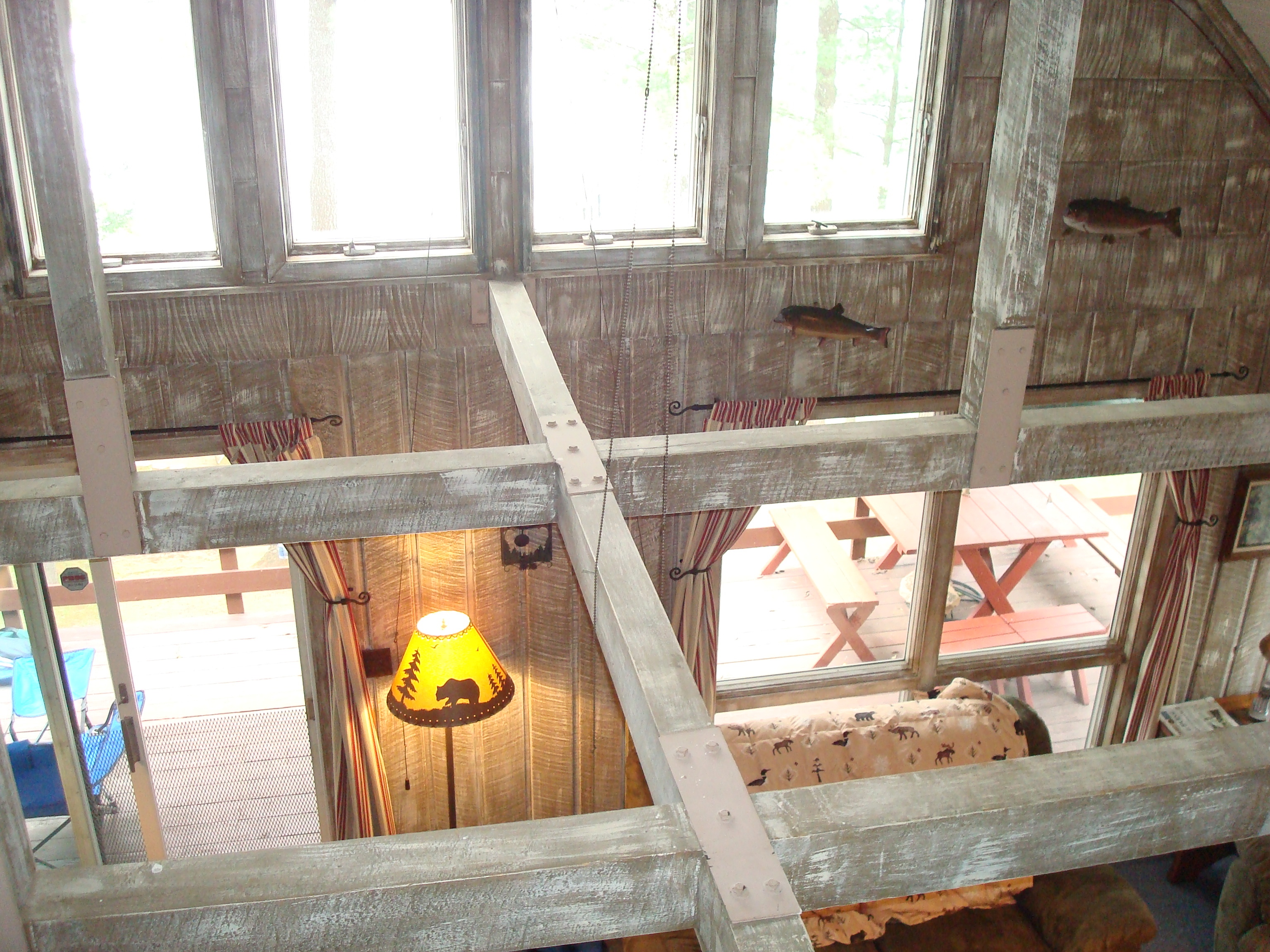
from second floor of the cabin
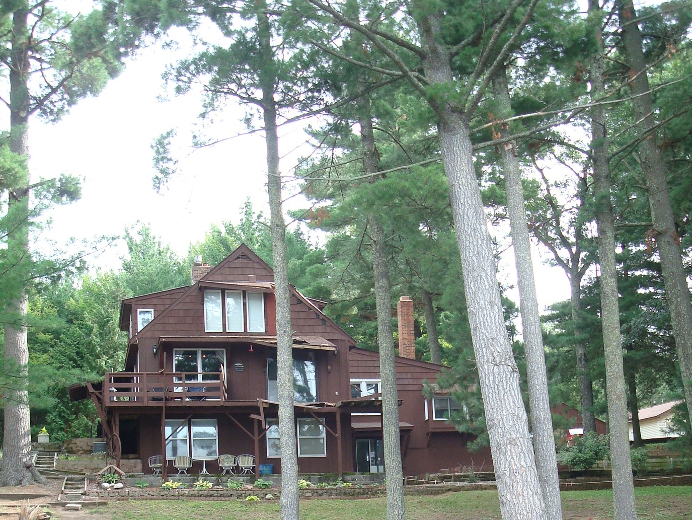
cabin damage

Peaceful Morning
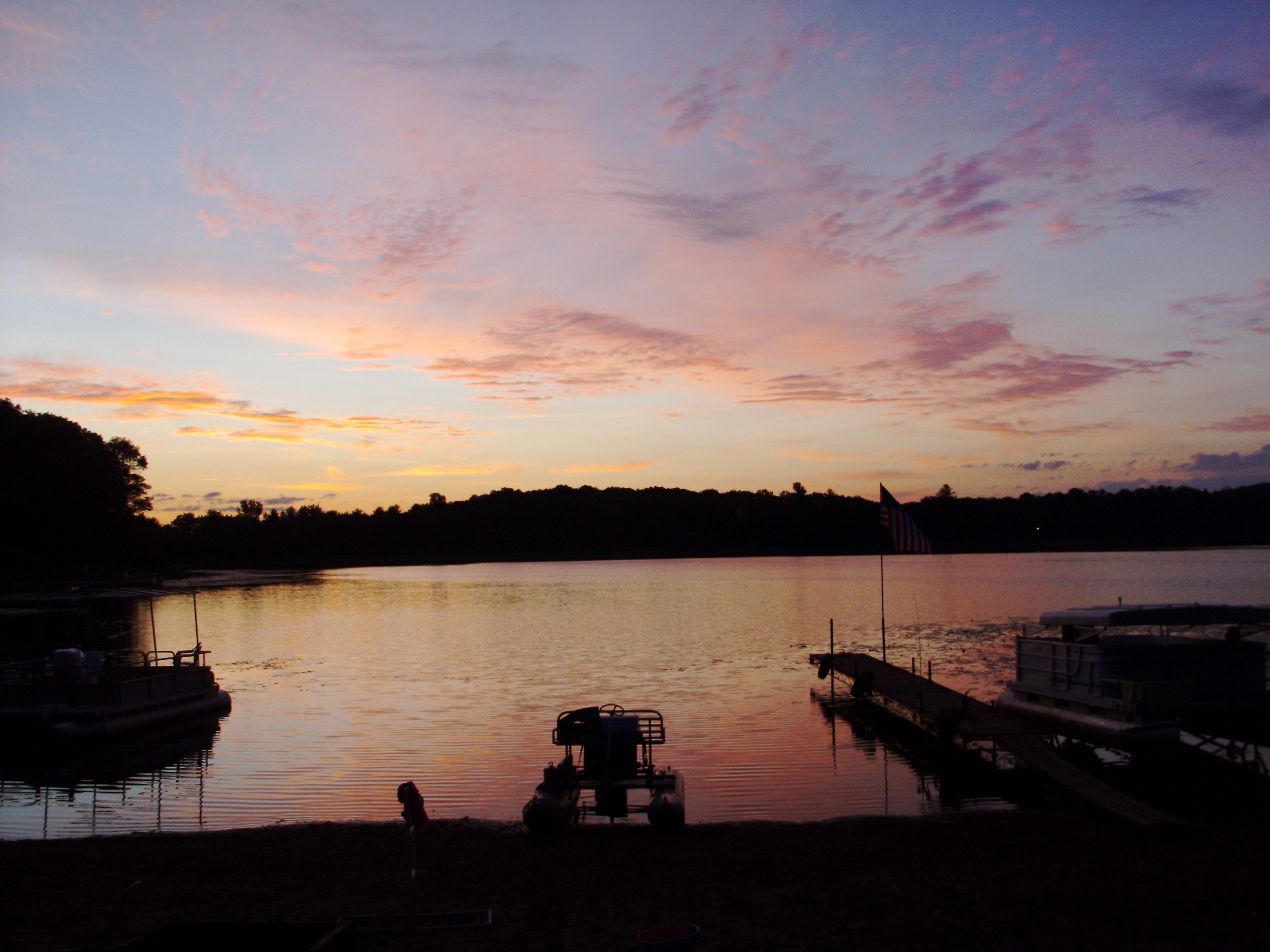
Sunrise 2
Sunrise 1
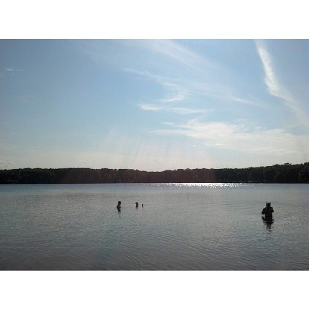
Round Lake
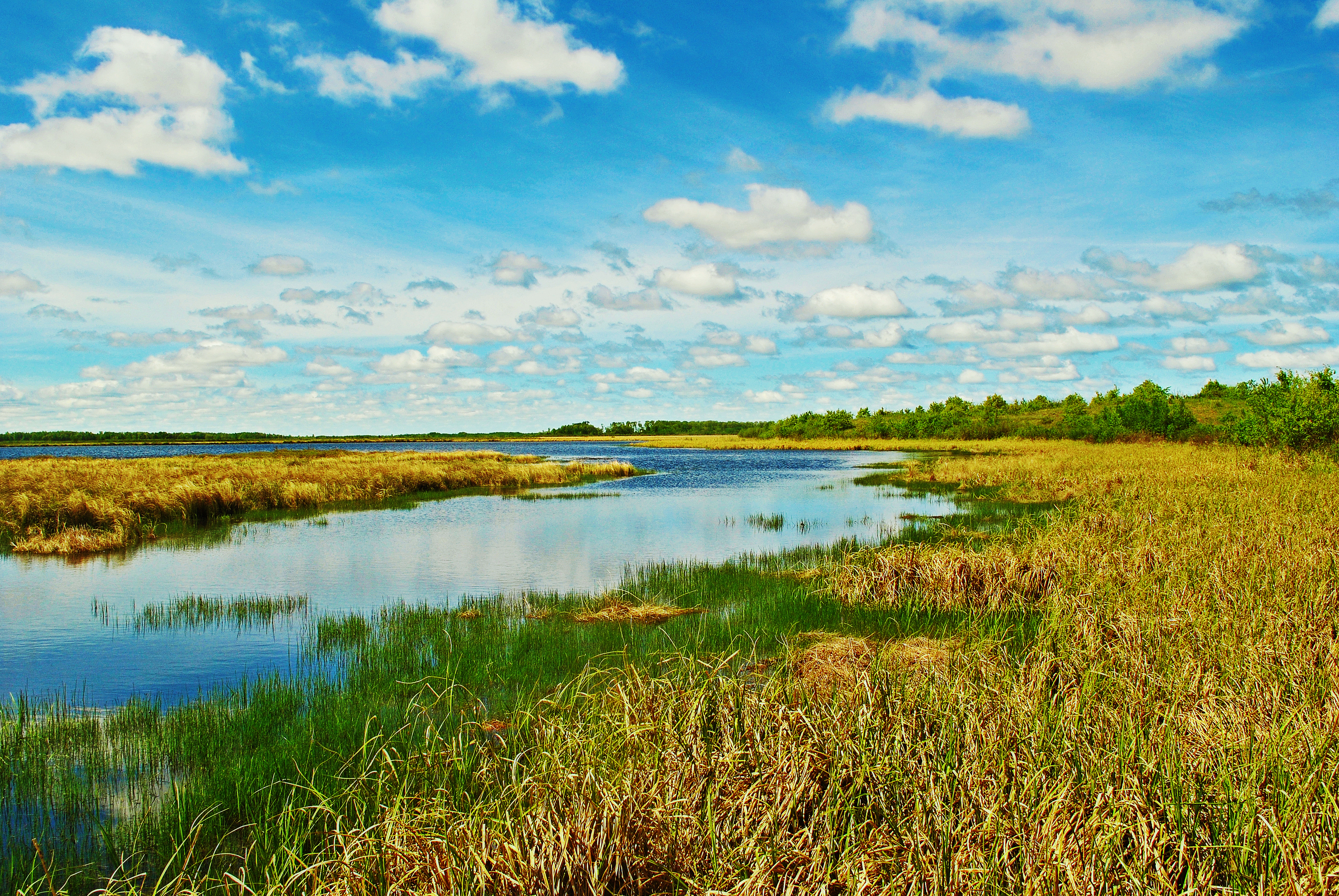
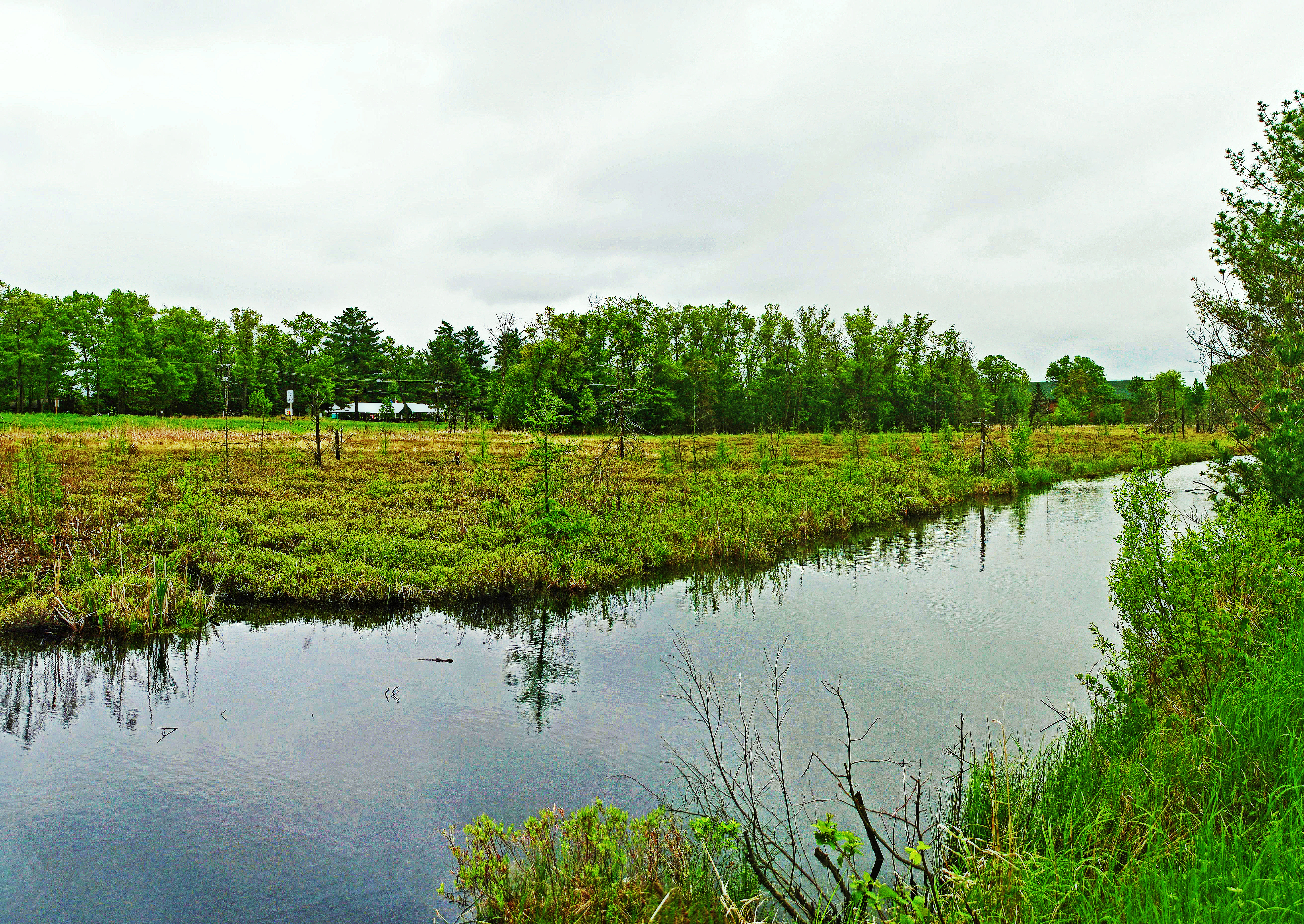
Reed Lake Meadow State Natural Area
more trees
Morning Fog 4

Spider Paradise

Leonard's Skipper (Hesperia leonardus)

treeline reflection

Good Morning Spiders!

Leonard's Skipper (Hesperia leonardus)

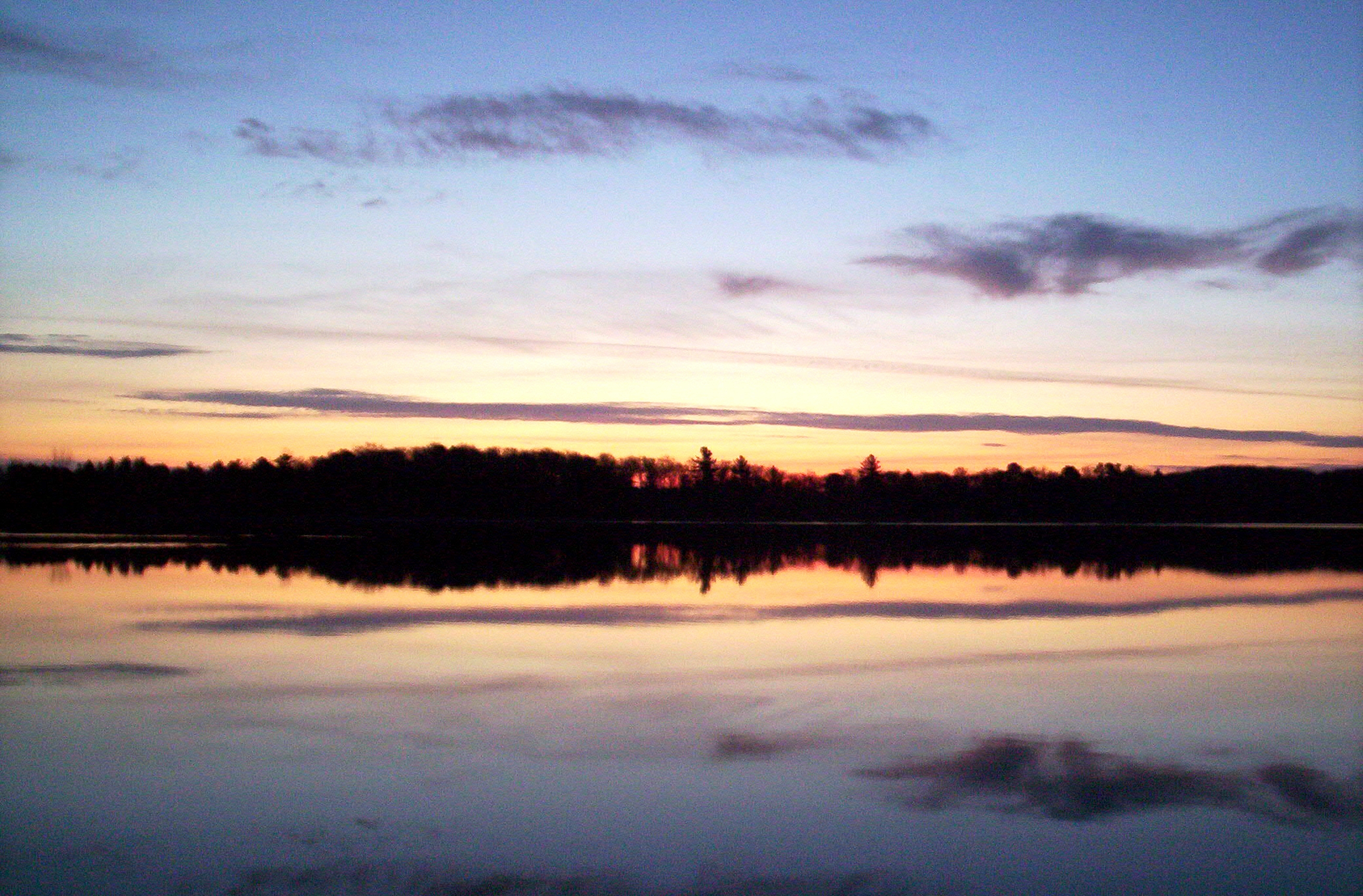
Wisconsin Sunrise
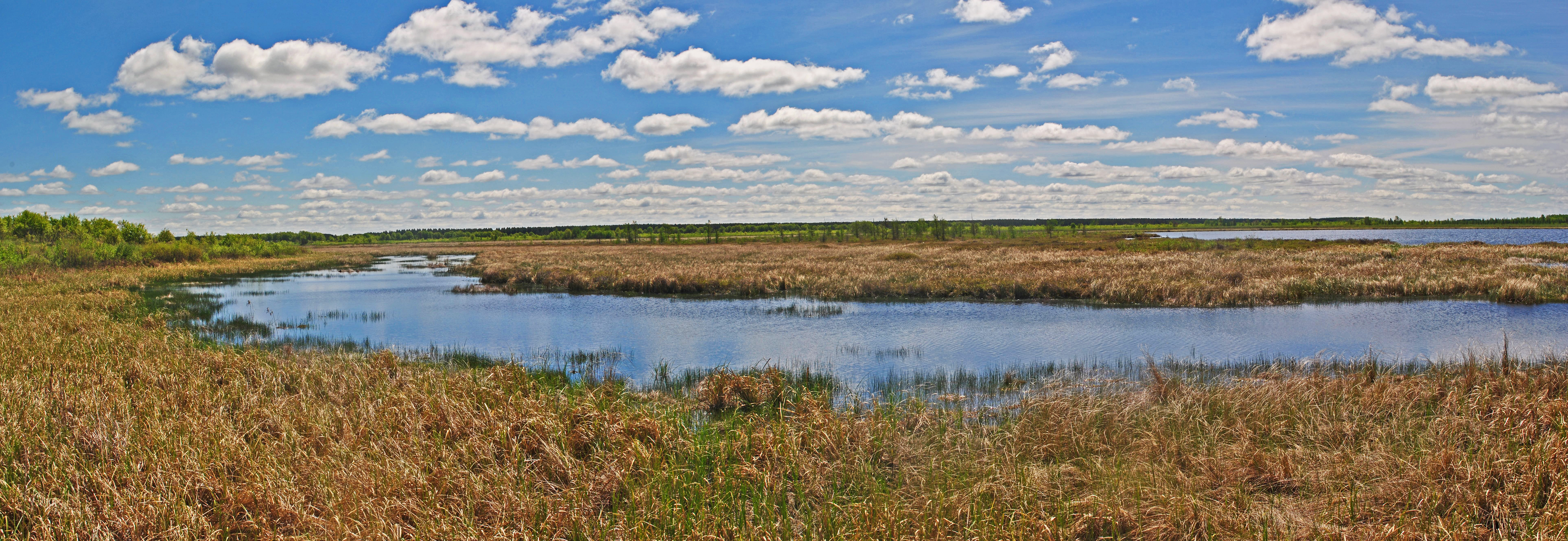
Crex Meadows Wildlife Area
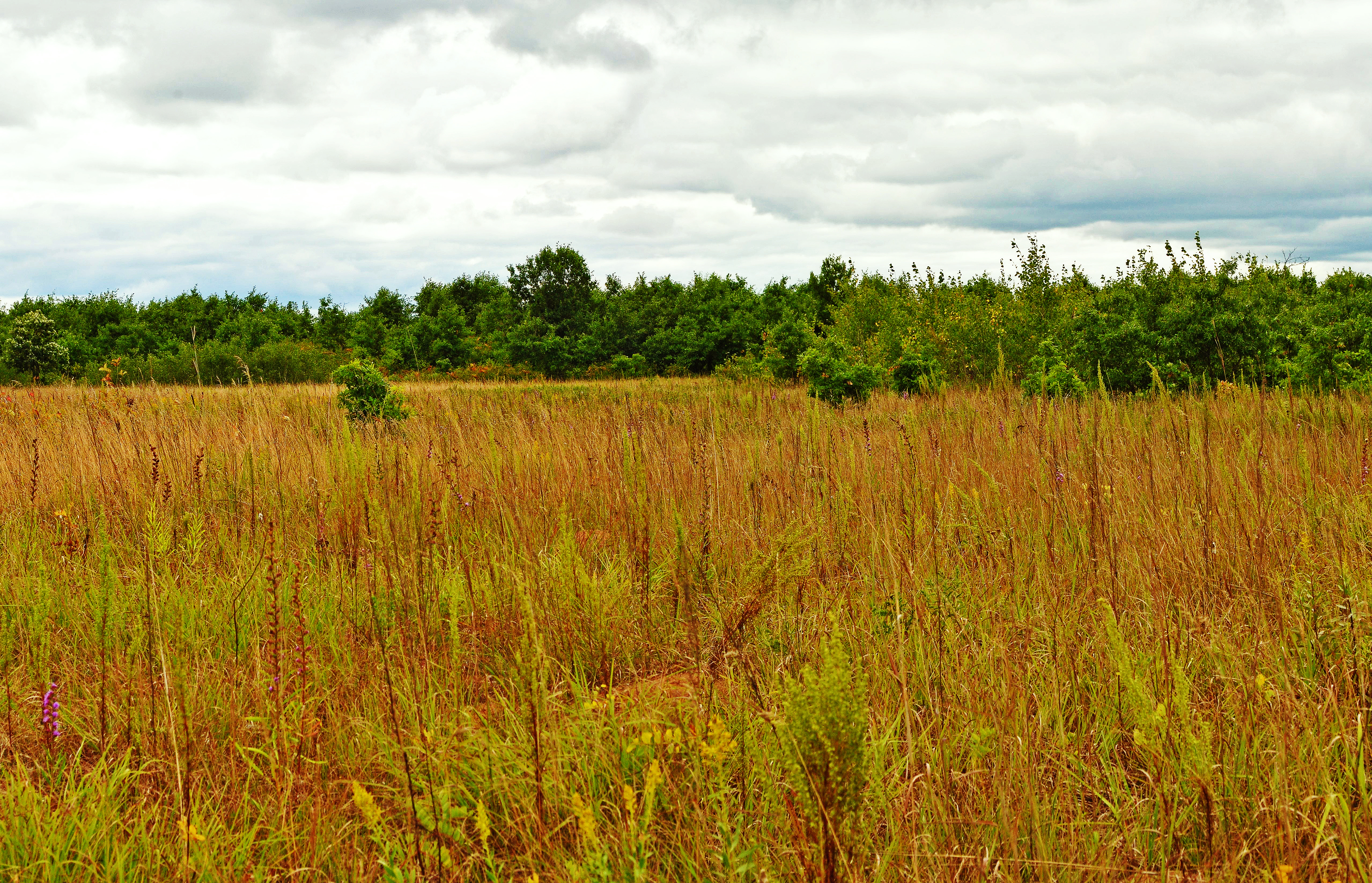
Along the Gandy Dancer State Trail
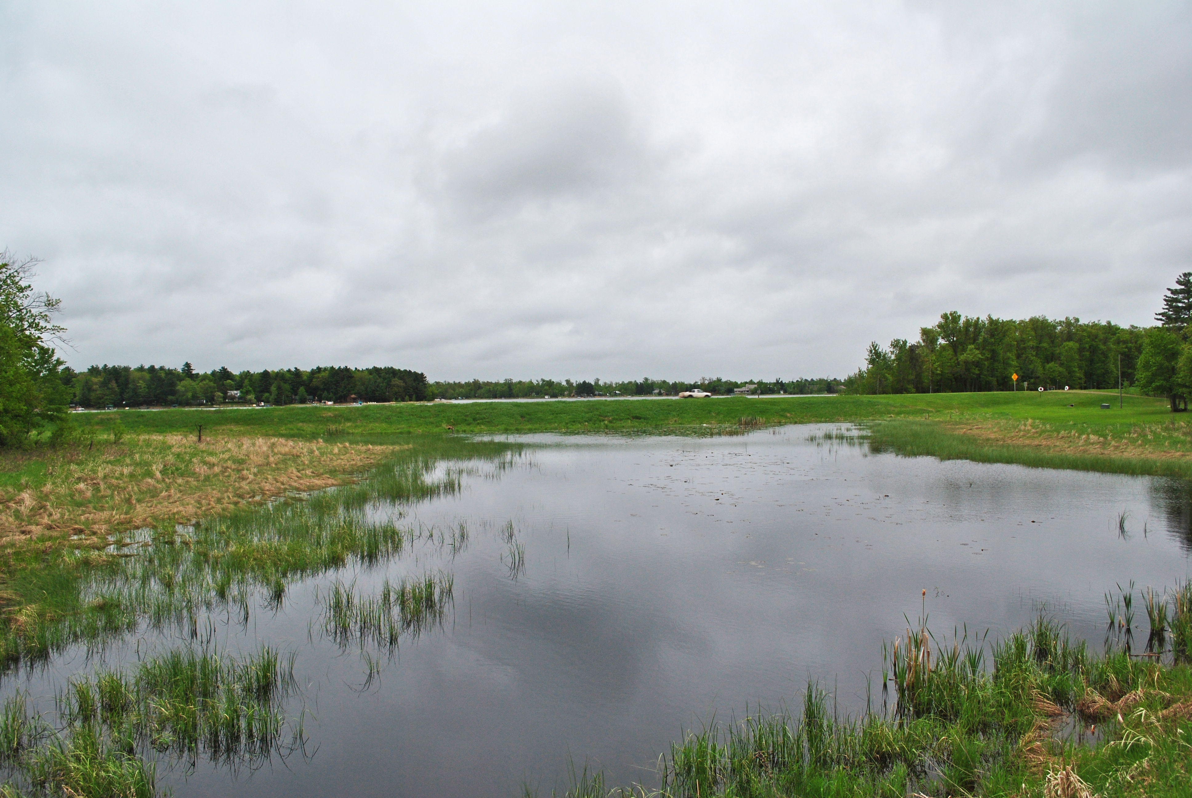
Reed Lake Meadow State Natural Area

Reed Lake Meadow State Natural Area
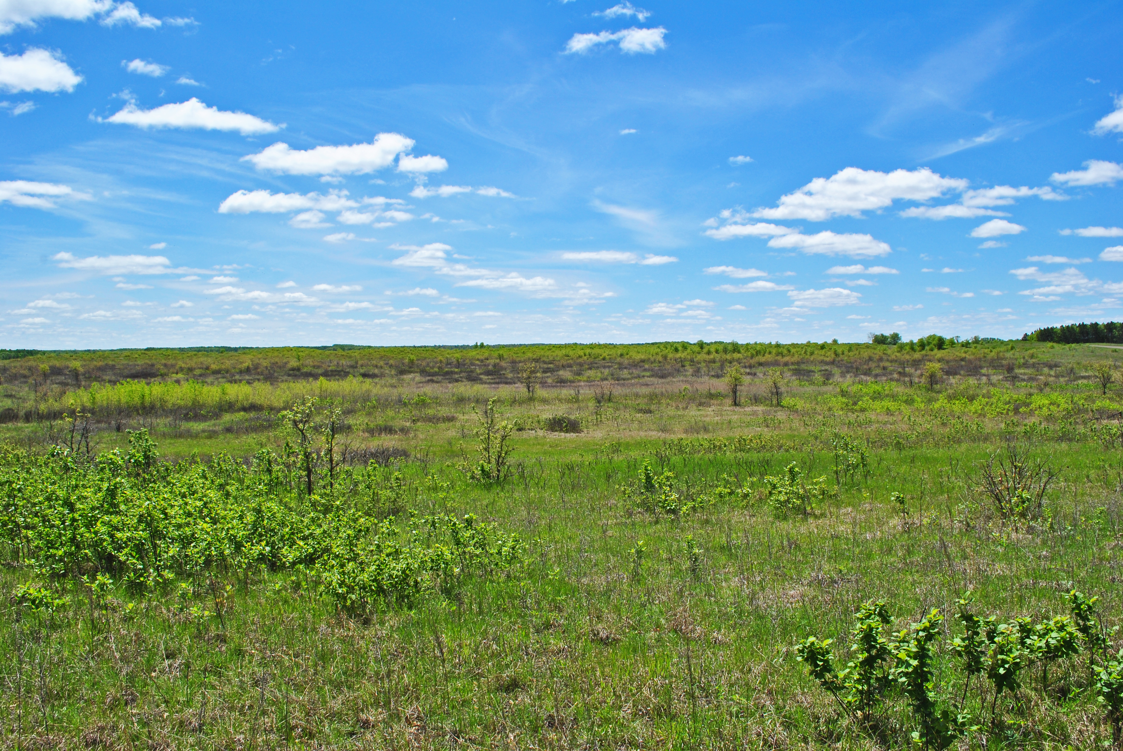
Kohler-Peet Barrens State Natural Area
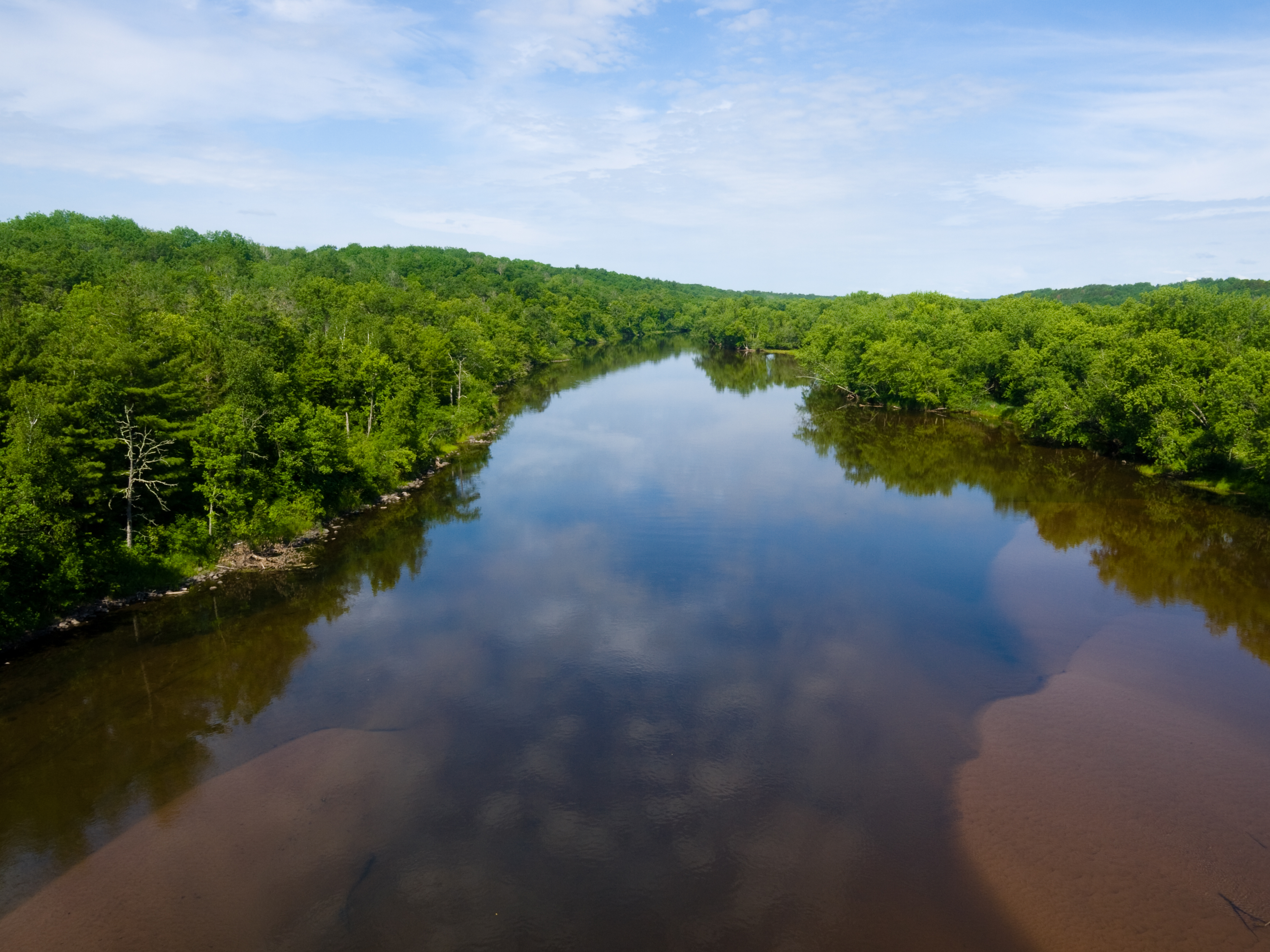
reflections and sandbars
Along the Gandy Dancer State Trail
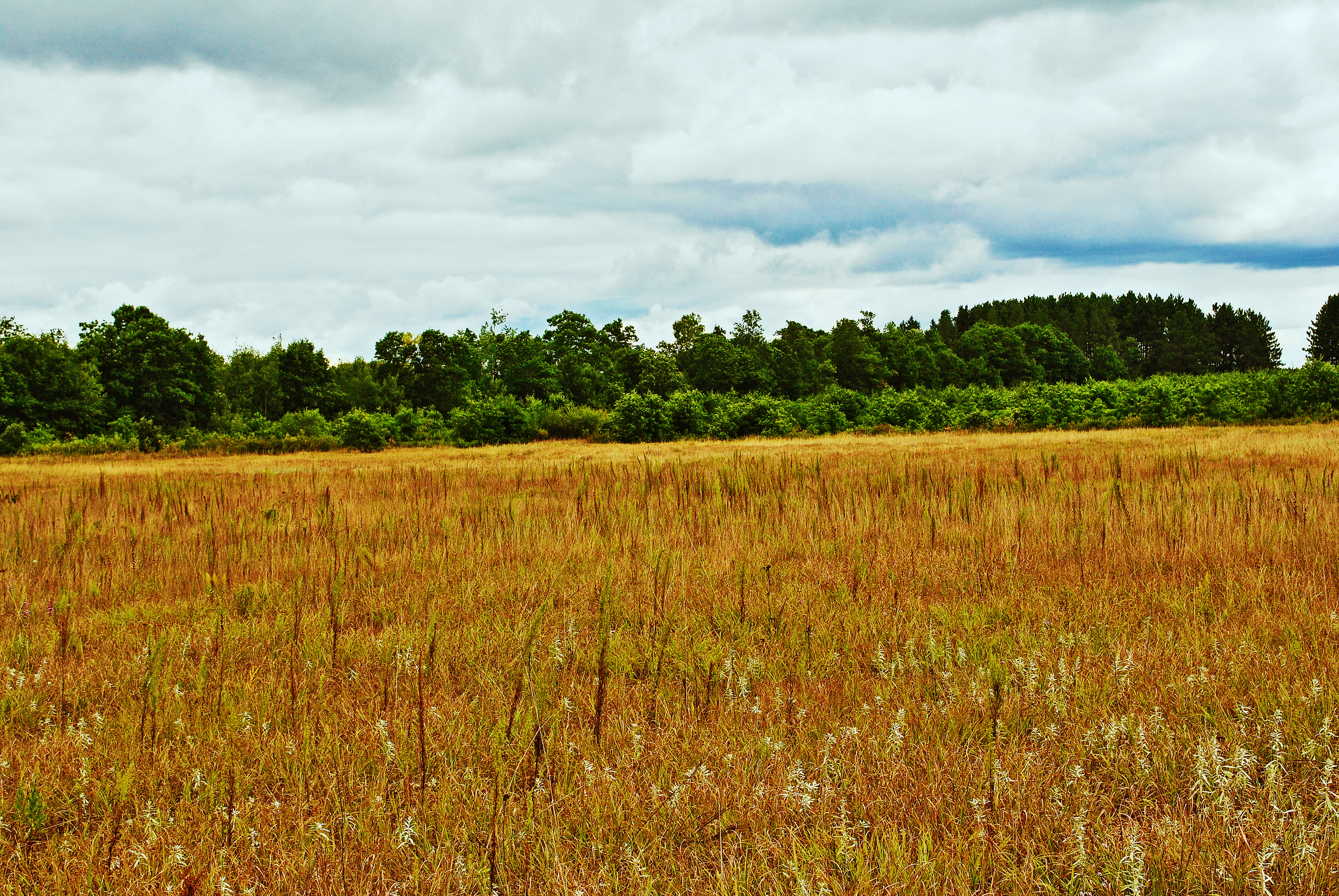
Kohler-Peet Barrens State Natural Area
Topographic Map of Webster, WI, USA
Find elevation by address:

Places near Webster, WI, USA:
Wisconsin 35
8161 Moline Rd
Meenon
5974 Peterson Rd
28203 S Johnson Lake Rd
Horseshoe Trail, Webster, WI, USA
6810 Lone Star Rd
5609 Co Rd X
Burnett County
Danbury
Sand Lake
24747 Anchor Inn Rd
La Follette
4538 Hawks Nest Ct
3409 65th St
Lena Lake
Clam Falls
Great Bear Pass
Markville
2nd Ave, Markville, MN, USA
Recent Searches:
- Elevation of Kreuzburger Weg 13, Düsseldorf, Germany
- Elevation of Gateway Blvd SE, Canton, OH, USA
- Elevation of East W.T. Harris Boulevard, E W.T. Harris Blvd, Charlotte, NC, USA
- Elevation of West Sugar Creek, Charlotte, NC, USA
- Elevation of Wayland, NY, USA
- Elevation of Steadfast Ct, Daphne, AL, USA
- Elevation of Lagasgasan, X+CQH, Tiaong, Quezon, Philippines
- Elevation of Rojo Ct, Atascadero, CA, USA
- Elevation of Flagstaff Drive, Flagstaff Dr, North Carolina, USA
- Elevation of Avery Ln, Lakeland, FL, USA