Elevation of Danbury, WI, USA
Location: United States > Wisconsin > Burnett County >
Longitude: -92.371304
Latitude: 46.0066117
Elevation: 286m / 938feet
Barometric Pressure: 98KPa
Elevation Map:
Satellite Map:
Related Photos:

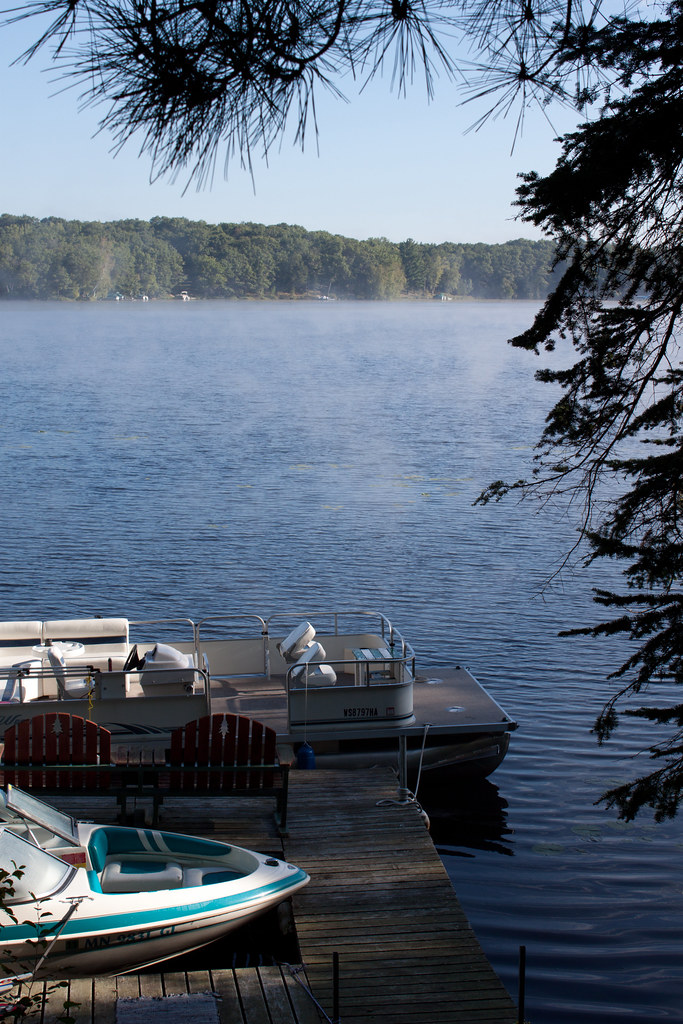
Round Lake

Meslow Cabin 7-27-2007 9-10-20 PM

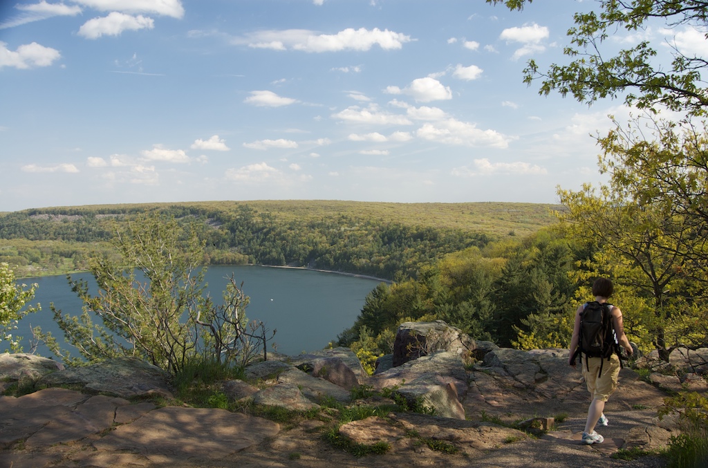
Rock Lake - Saint Croix State Forest, Minnesota

Leonard's Skipper (Hesperia leonardus)

Leonard's Skipper (Hesperia leonardus)
Morning Fog 4

herz1001 6.10.10.7

Kohler-Peet Barrens State Natural Area

Kohler-Peet Barrens State Natural Area

herz1001 6.10.10.7_2

Kohler-Peet Barrens State Natural Area

reflections and sandbars

Kohler-Peet Barrens State Natural Area

Snowy Winter Forest Drive - Minnesota
Walk on by

Winter in Minnesota

Kayaks at Thayers Landing

Snowy Forest Road

herz1001 6.10.10.6

herz1001 6.10.10.6_2

Tamarack River - St. Croix State Forest, Minnesota
Topographic Map of Danbury, WI, USA
Find elevation by address:

Places in Danbury, WI, USA:
Places near Danbury, WI, USA:
Markville
2nd Ave, Markville, MN, USA
28203 S Johnson Lake Rd
Lena Lake
Arna Township
Webster
Wisconsin 35
8161 Moline Rd
Meenon
4538 Hawks Nest Ct
Horseshoe Trail, Webster, WI, USA
5609 Co Rd X
5974 Peterson Rd
Sand Lake
County Rd T, Danbury, WI, USA
Great Bear Pass
Burnett County
6810 Lone Star Rd
24747 Anchor Inn Rd
29273 Pine Knoll Ln
Recent Searches:
- Elevation of 1 Zion Park Blvd, Springdale, UT, USA
- Elevation of Ganderbal
- Elevation map of Konkan Division, Maharashtra, India
- Elevation of Netaji Nagar, Hallow Pul, Kurla, Mumbai, Maharashtra, India
- Elevation of Uralsk, Kazakhstan
- Elevation of 45- Kahana Dr, Honokaa, HI, USA
- Elevation of New Mexico 30, NM-30, Española, NM, USA
- Elevation of Santmyer Way, Charles Town, WV, USA
- Elevation of Riserva Naturale Lago di Montepulciano, Italy
- Elevation of Marjorie Lane, Marjorie Ln, Whitefield, NH, USA