Elevation of Aradan, Semnan Province, Iran
Location: Iran > Semnan Province > Garmsar >
Longitude: 52.492073
Latitude: 35.247165
Elevation: 877m / 2877feet
Barometric Pressure: 91KPa
Elevation Map:
Satellite Map:
Related Photos:

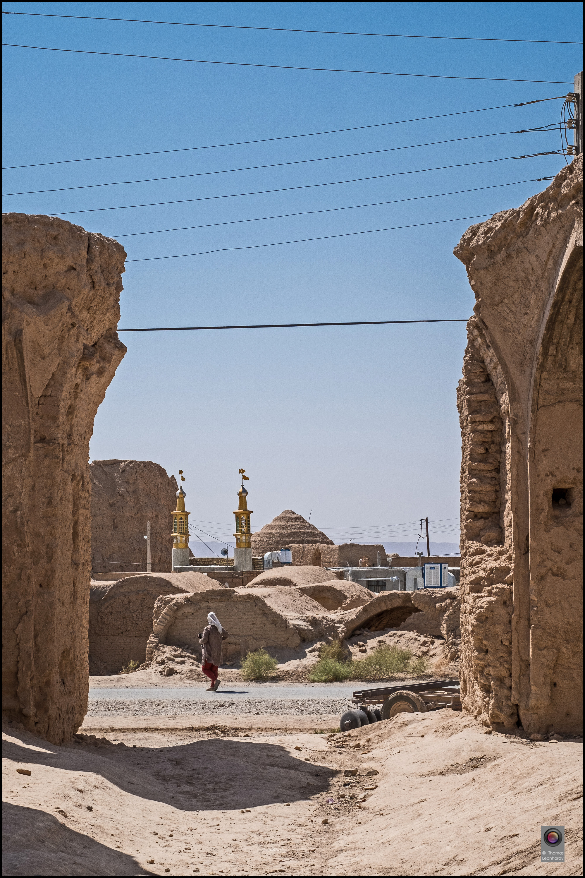
Iran2016-29 Kopie

Iran2016-23 Kopie

Iran2016-26 Kopie

Iran2016-2 Kopie

Iran2016-3 Kopie

Iran2016-9 Kopie

Iran2016-13 Kopie

Iran2016-15 Kopie

Iran2016-17 Kopie

Iran2016-18 Kopie

Iran2016-24 Kopie

Iran2016-27 Kopie
Iran2016-32 Kopie

Some mountain among the way
Topographic Map of Aradan, Semnan Province, Iran
Find elevation by address:

Places near Aradan, Semnan Province, Iran:
Garmsār
Deh Namak, Semnan
Simindasht
Absard
Firuzkuh
Damavand
Gilavand
روح افزا
دالان بهشت
Nava
Haraz Road
Haraz Road
آبگرم پایین لاریجان
هتل دماوند
Upper Abgarm Larijan
Lut
Sorkheh
Biyabanak
Mount Damavand
Filband
Recent Searches:
- Elevation of Congressional Dr, Stevensville, MD, USA
- Elevation of Bellview Rd, McLean, VA, USA
- Elevation of Stage Island Rd, Chatham, MA, USA
- Elevation of Shibuya Scramble Crossing, 21 Udagawacho, Shibuya City, Tokyo -, Japan
- Elevation of Jadagoniai, Kaunas District Municipality, Lithuania
- Elevation of Pagonija rock, Kranto 7-oji g. 8"N, Kaunas, Lithuania
- Elevation of Co Rd 87, Jamestown, CO, USA
- Elevation of Tenjo, Cundinamarca, Colombia
- Elevation of Côte-des-Neiges, Montreal, QC H4A 3J6, Canada
- Elevation of Bobcat Dr, Helena, MT, USA