Elevation of Filband, Mazandaran Province, Iran
Location: Iran > Mazandaran >
Longitude: 52.5291928
Latitude: 36.1527642
Elevation: 2281m / 7484feet
Barometric Pressure: 77KPa
Elevation Map:
Satellite Map:
Related Photos:

فیلبند مازندران
and...

#Mountaineering, #leaves, #love, #tree, #autumn, #fall, #mountain, #cloud, #friend

#Mountaineering, #leaves, #love, #tree, #autumn, #fall, #mountain, #cloud, #mist #friend

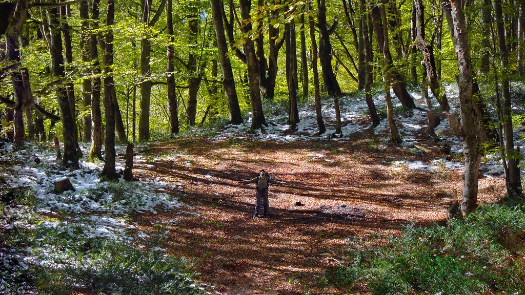
#me #myself #selfie Mountaineering, #leaves, #love, #tree, #autumn, #fall, #mountain, #snow, #friend

#jungle #trees #branch #fall #highland #friend #together #walking #mountaineering

روستاى پل سفيد
Topographic Map of Filband, Mazandaran Province, Iran
Find elevation by address:

Places near Filband, Mazandaran Province, Iran:
Filband Road
Mazandaran
Alborz Dam
Lut
Amol
Shirgah
Central District
Babol County
Babol
هتل دماوند
آبگرم پایین لاریجان
Upper Abgarm Larijan
Nava
کرچک
Talar River
Qaemshahr
Mount Damavand
Firuzkuh
Haraz Road
Haraz Road
Recent Searches:
- Elevation of Unnamed Road, Respublika Severnaya Osetiya — Alaniya, Russia
- Elevation of Verkhny Fiagdon, North Ossetia–Alania Republic, Russia
- Elevation of F. Viola Hiway, San Rafael, Bulacan, Philippines
- Elevation of Herbage Dr, Gulfport, MS, USA
- Elevation of Lilac Cir, Haldimand, ON N3W 2G9, Canada
- Elevation of Harrod Branch Road, Harrod Branch Rd, Kentucky, USA
- Elevation of Wyndham Grand Barbados Sam Lords Castle All Inclusive Resort, End of Belair Road, Long Bay, Bridgetown Barbados
- Elevation of Iga Trl, Maggie Valley, NC, USA
- Elevation of N Co Rd 31D, Loveland, CO, USA
- Elevation of Lindever Ln, Palmetto, FL, USA