Elevation map of Semnan Province, Iran
Location: Iran >
Longitude: 54.4342138
Latitude: 35.2255585
Elevation: 1061m / 3481feet
Barometric Pressure: 89KPa
Elevation Map:
Satellite Map:
Related Photos:
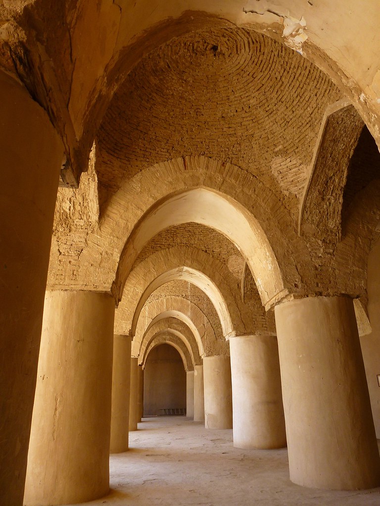
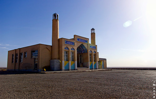
Ruins of Tarikhaneh, the oldest mosque in Iran

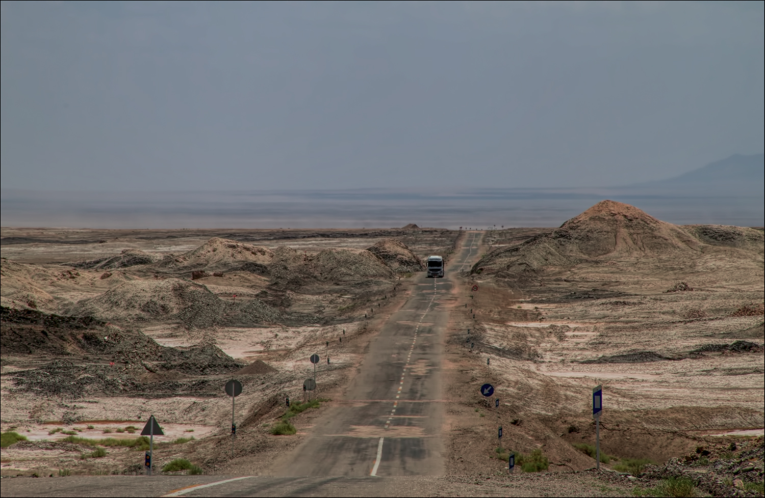
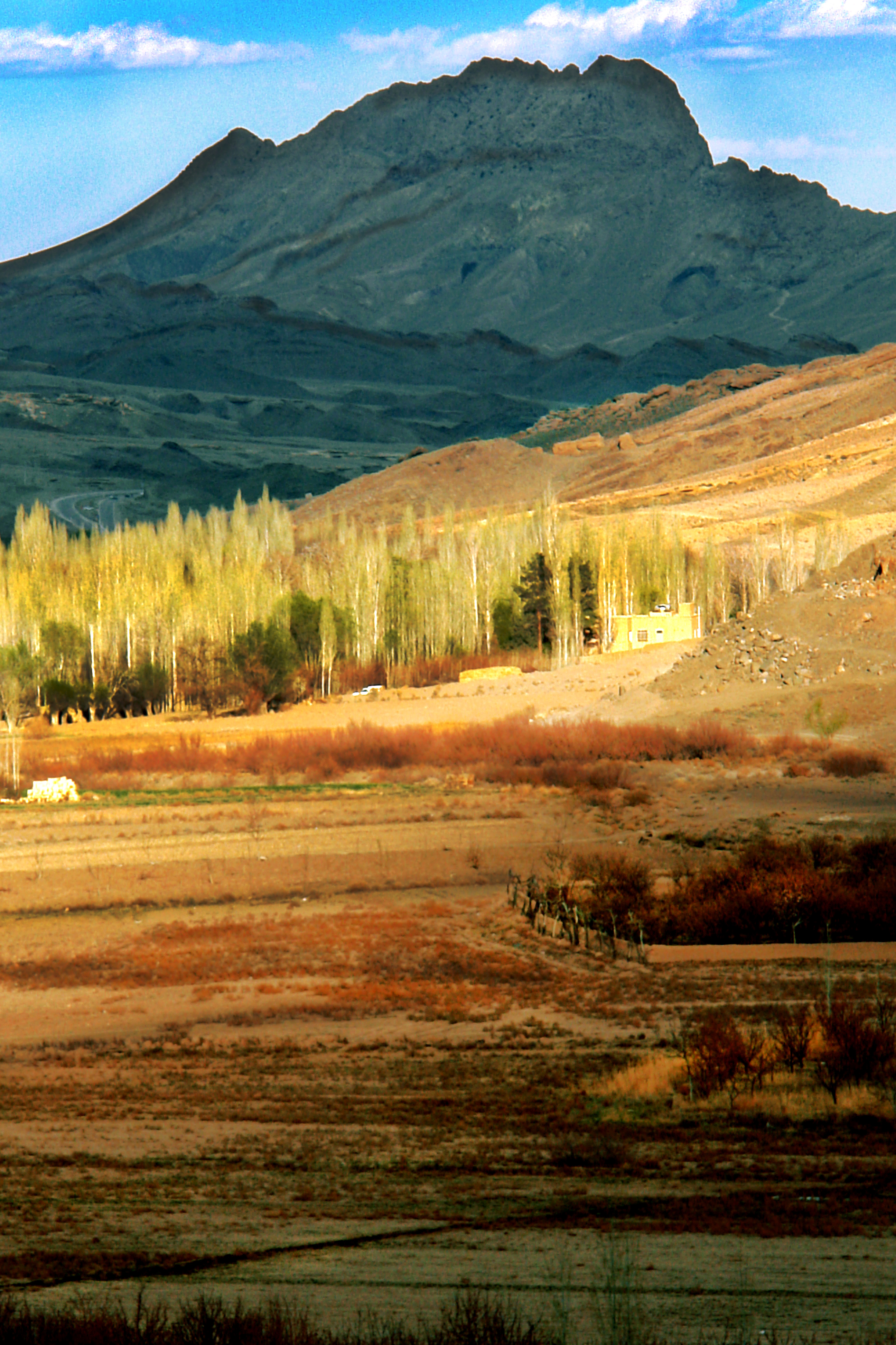
Rig jen desert in in South of semnan province This desert has many attractive views for tourists picture by Sepehr saleh yar ????????????????????????????????????????:point_do

To the sky

Far shadows
Like earth
Verso Garmeh

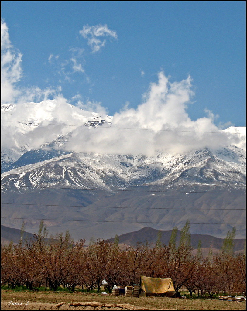
IRAN-DAMGHAN cheshme-ali
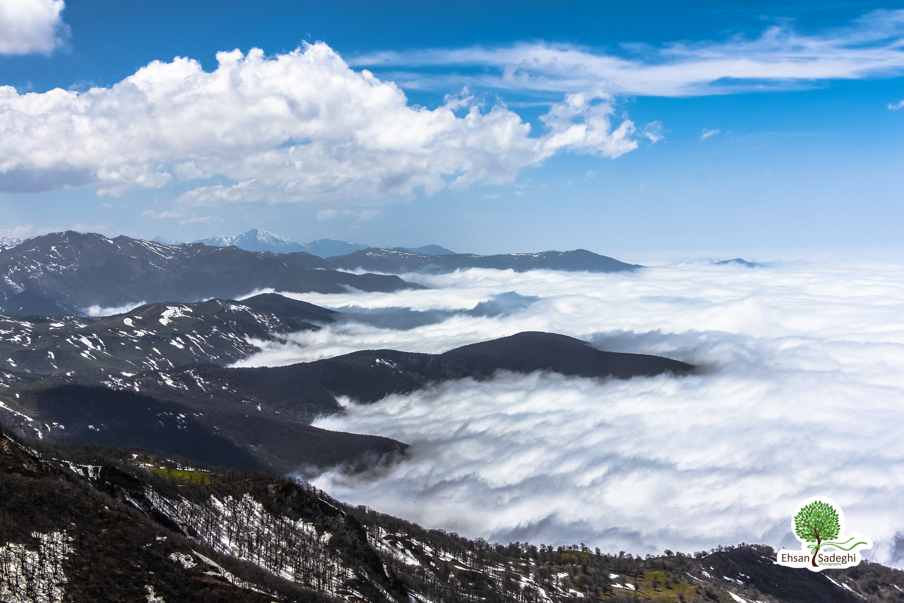
Abr Jungle
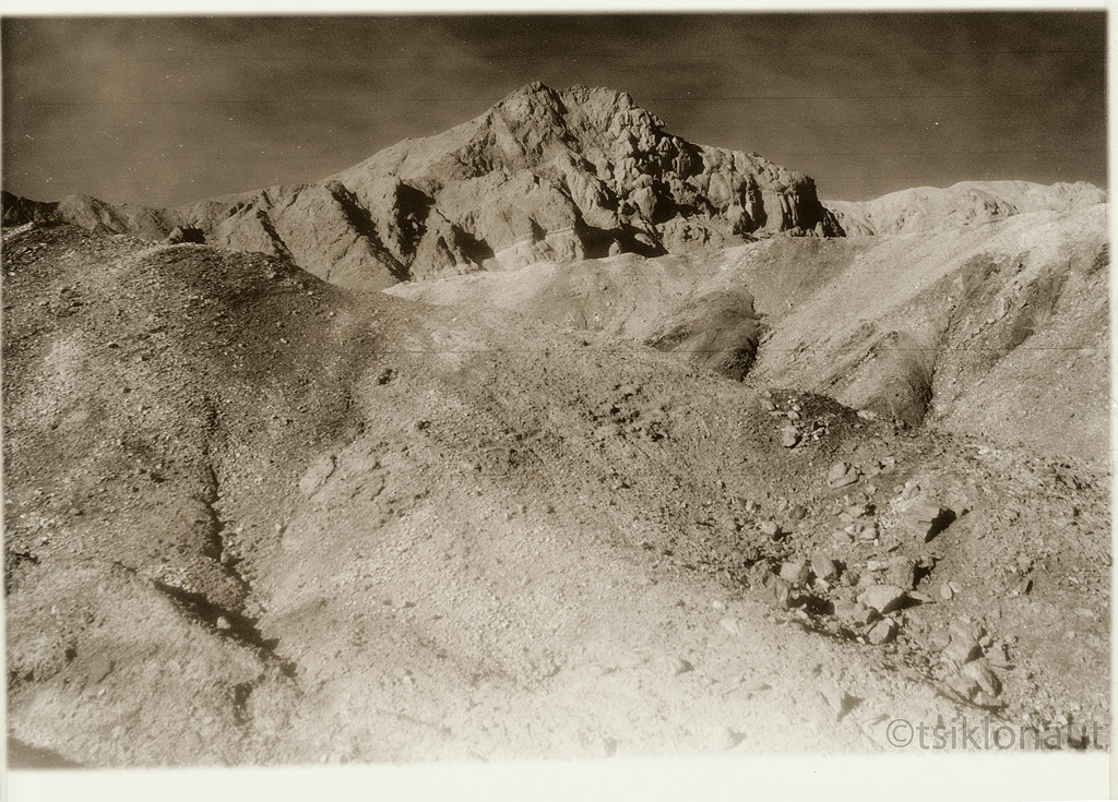
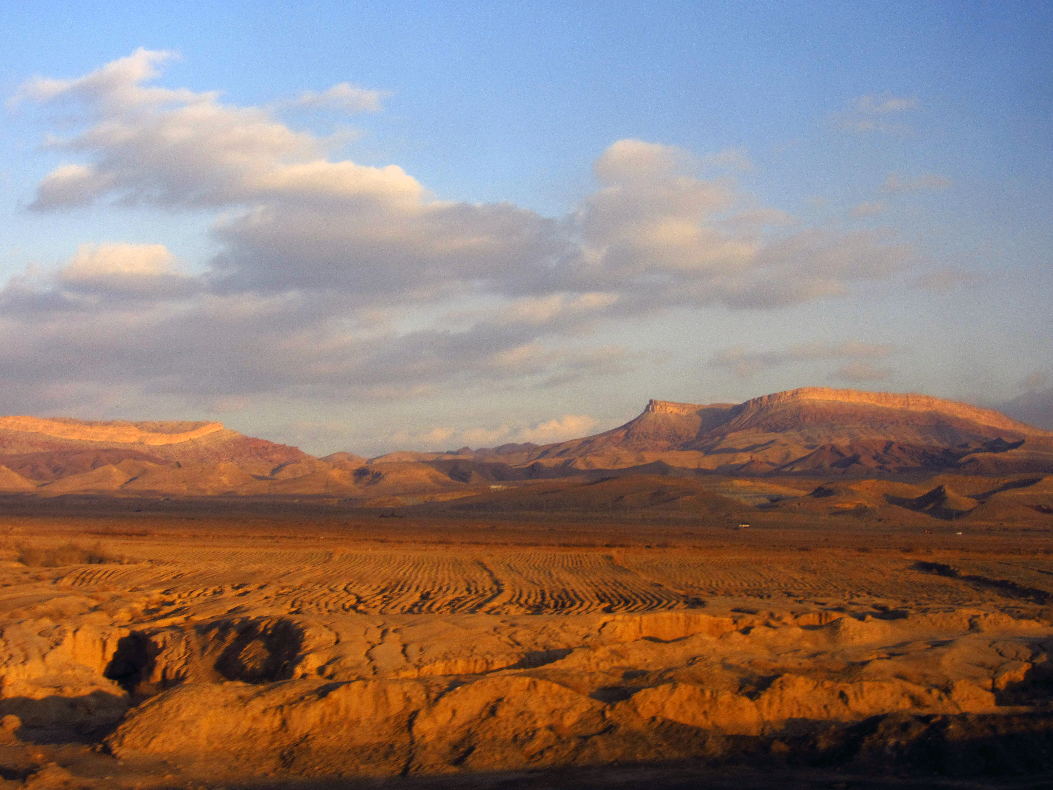
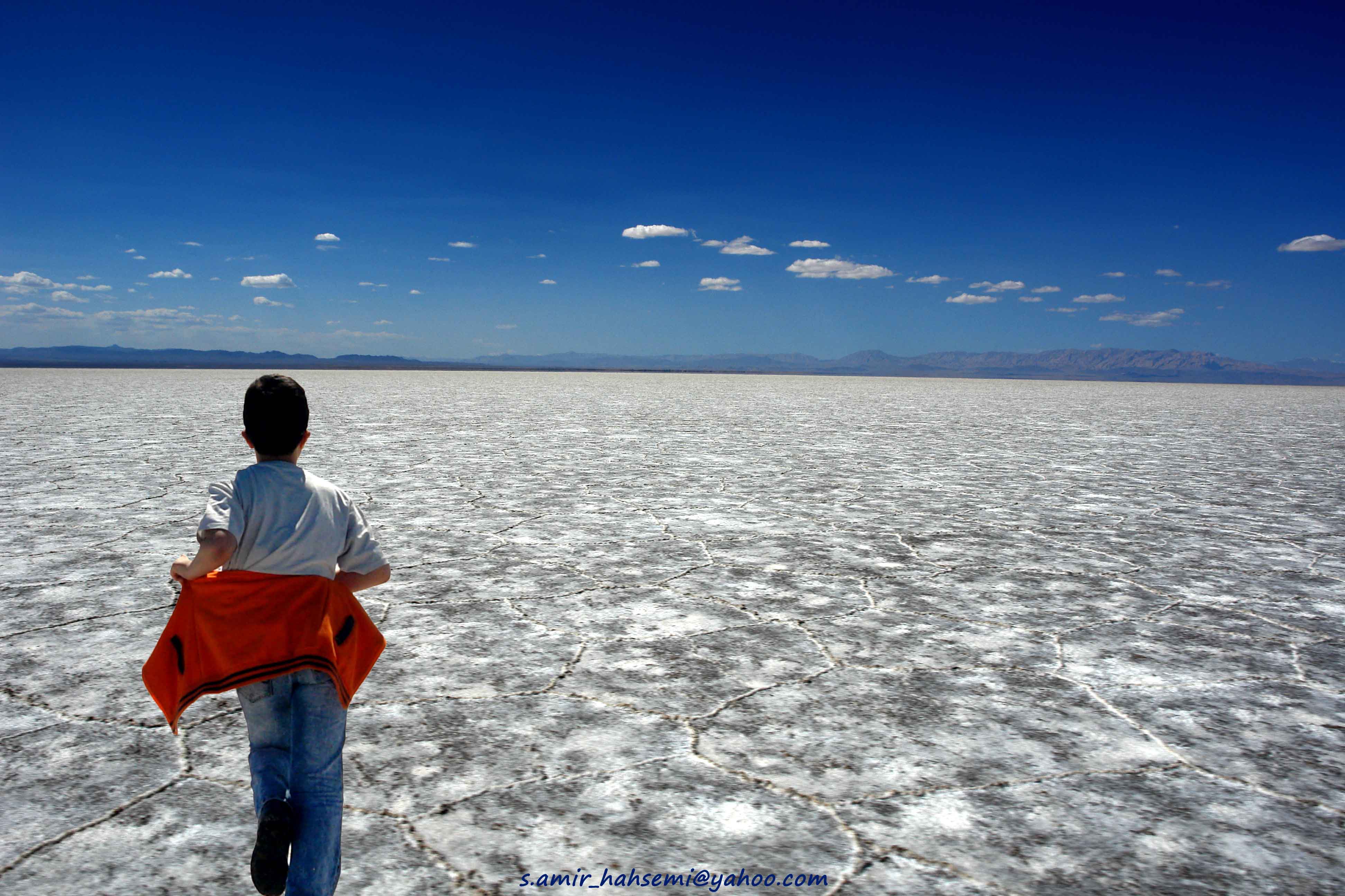
Dasht-e Kavir

Dasht-e Kavir desert, Iran
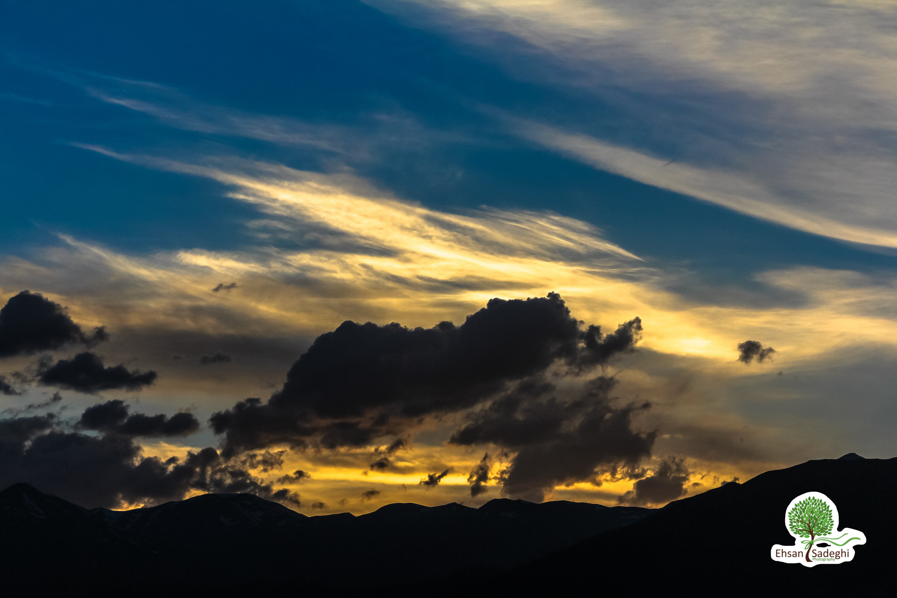
Warm flare from up above
swirling clouds
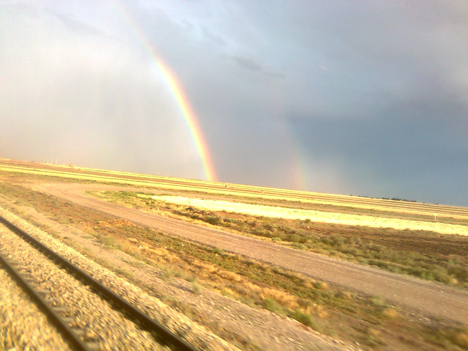
rainbow...train !!
IRAN-DَAMGHAN - (Salina) دریاچه نمک
IRAN-DAMGHAN چشمه علی دامغان
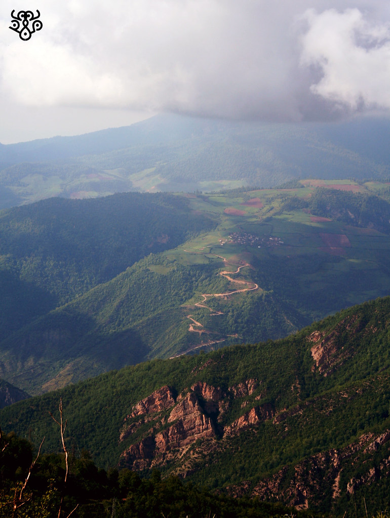
جنگل ابر شاهرود
Ehasn_20160414_IMG_2191.jpg
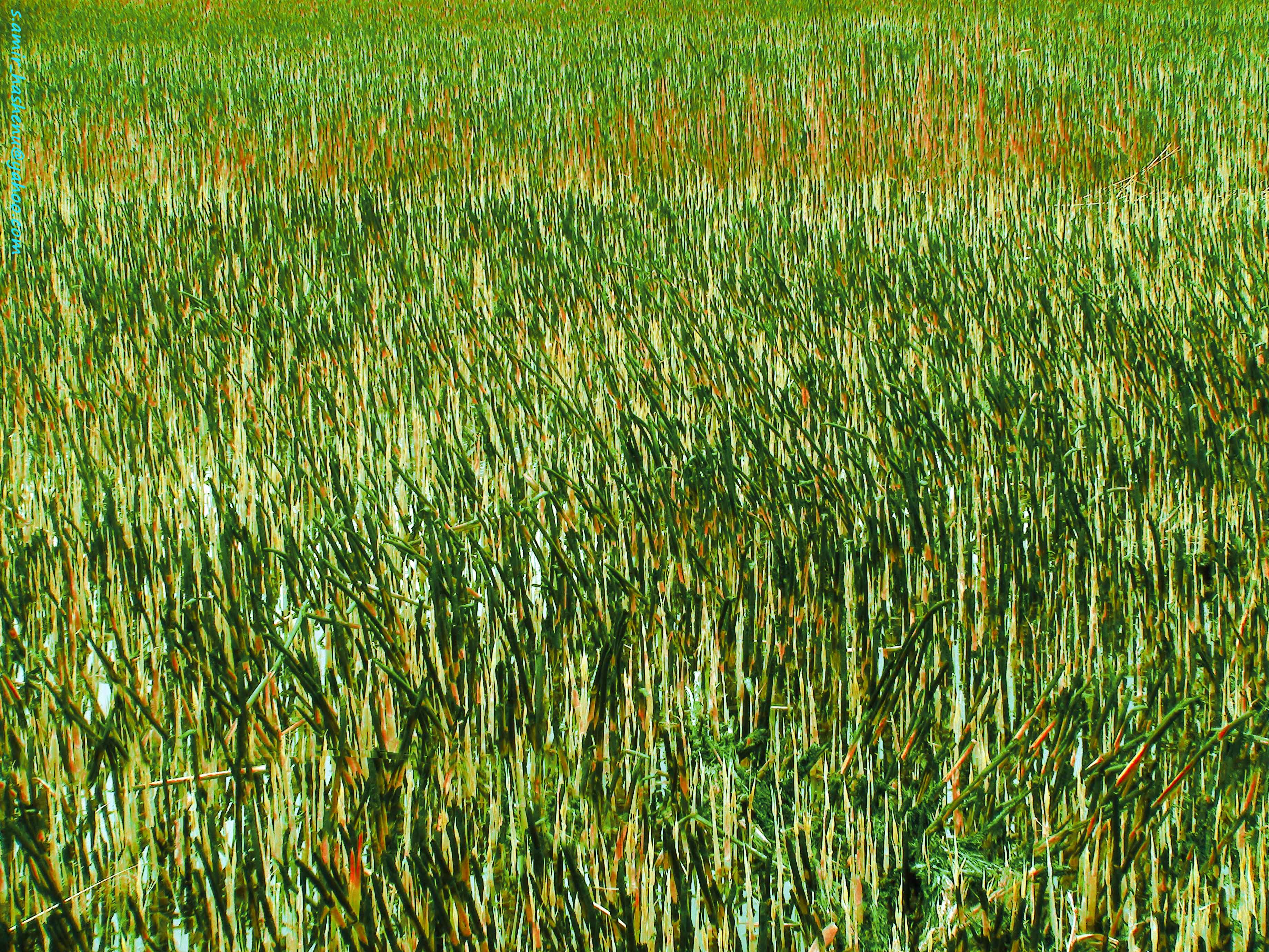
IRAN-DAMGHAN cheshme-ali-neyzar
Ehasn_20160414_IMG_2125.jpg
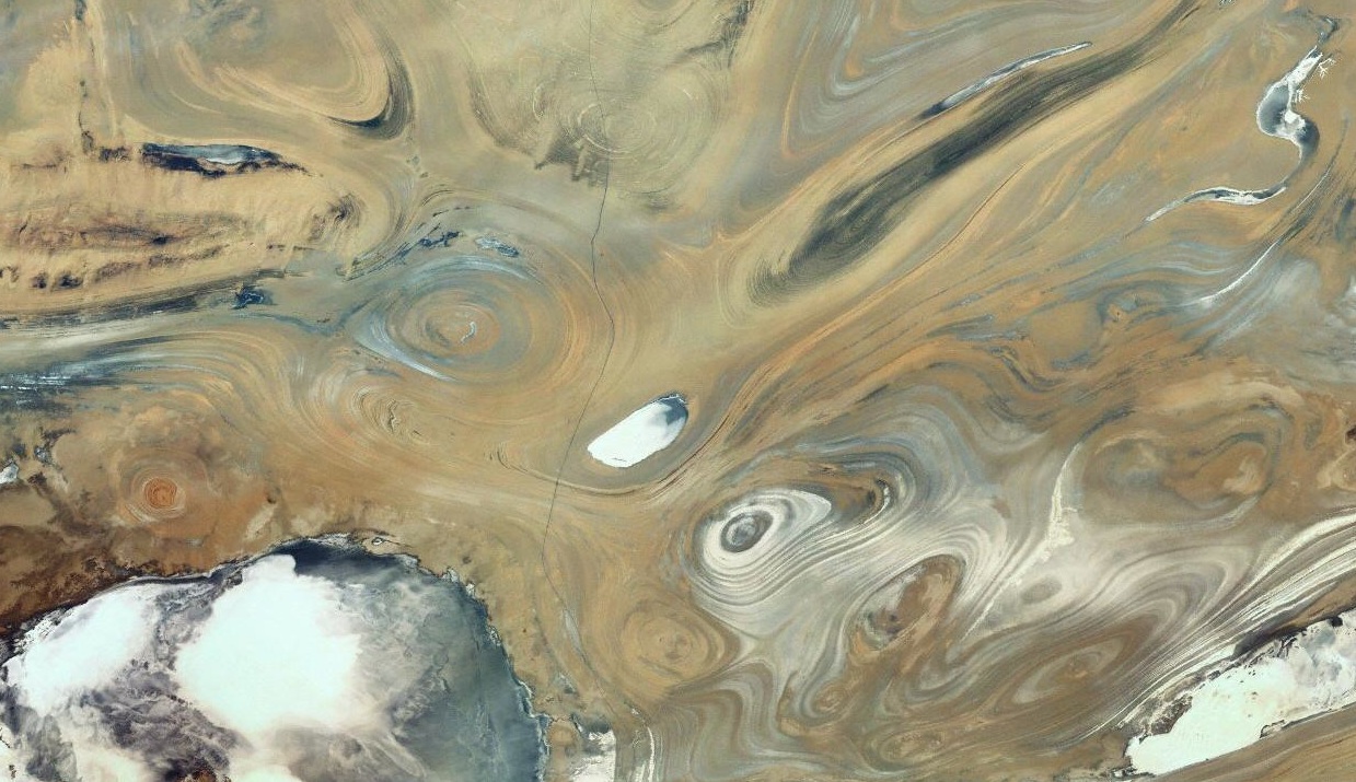
Satellite image of salt tectonic features, Great Kavir Basin, Semnan Province, Iran

Jahan gashtan beh az jahan khordan ast-87.jpg

Jahan gashtan beh az jahan khordan ast-88.jpg

Jahan gashtan beh az jahan khordan ast-105.jpg
Topographic Map of Semnan Province, Iran
Find elevation by address:

Places in Semnan Province, Iran:
Places near Semnan Province, Iran:
Recent Searches:
- Elevation of Warwick, RI, USA
- Elevation of Fern Rd, Whitmore, CA, USA
- Elevation of 62 Abbey St, Marshfield, MA, USA
- Elevation of Fernwood, Bradenton, FL, USA
- Elevation of Felindre, Swansea SA5 7LU, UK
- Elevation of Leyte Industrial Development Estate, Isabel, Leyte, Philippines
- Elevation of W Granada St, Tampa, FL, USA
- Elevation of Pykes Down, Ivybridge PL21 0BY, UK
- Elevation of Jalan Senandin, Lutong, Miri, Sarawak, Malaysia
- Elevation of Bilohirs'k