Elevation of AR-44, Elaine, AR, USA
Location: United States > Arkansas > Phillips County > Tappan Township > Elaine >
Longitude: -90.850341
Latitude: 34.3136973
Elevation: 52m / 171feet
Barometric Pressure: 101KPa
Elevation Map:
Satellite Map:
Related Photos:

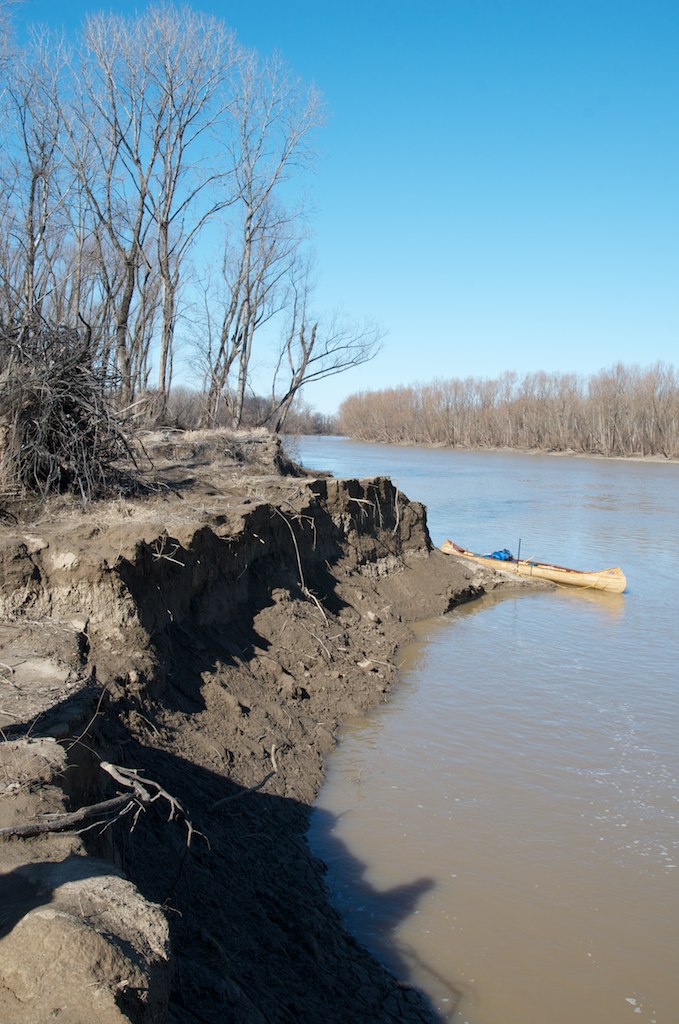
IMG_1082

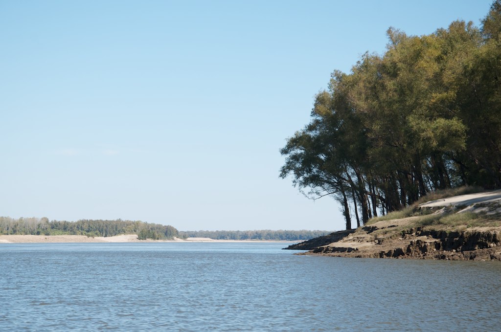
IMG_1087


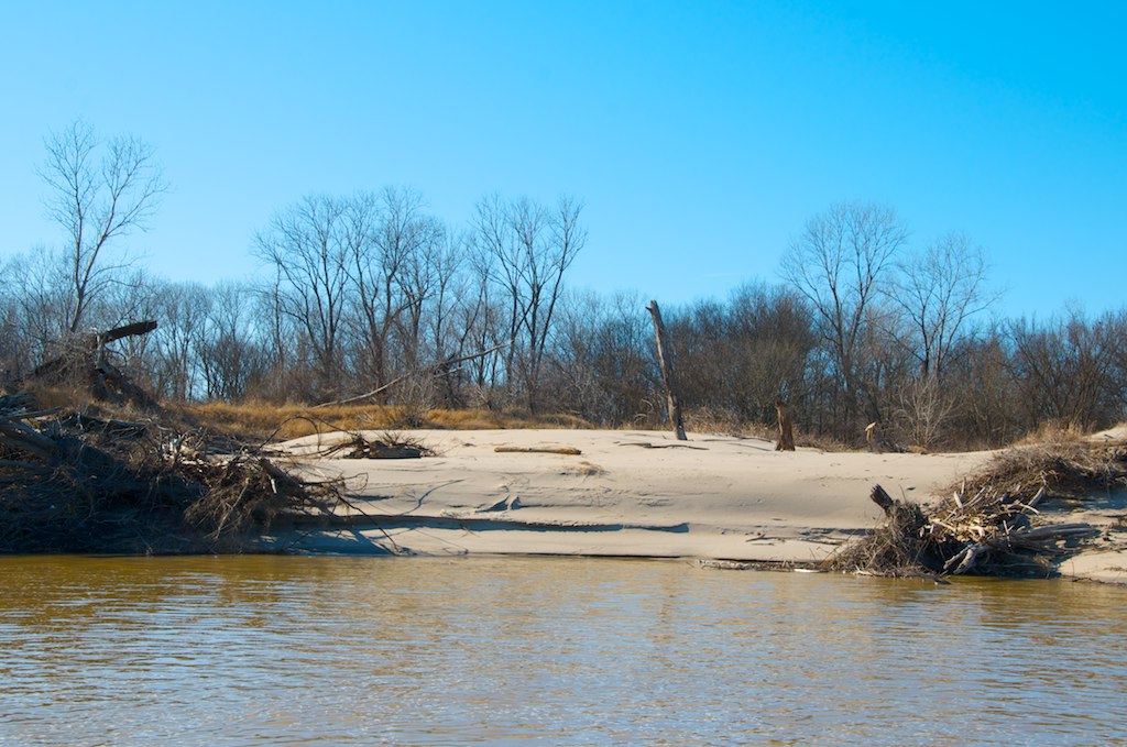
_DSC5739
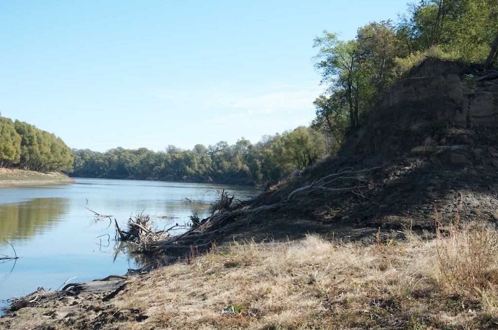
_DSC1161

_DSC5730

_DSC5771
_DSC5754
_DSC1130
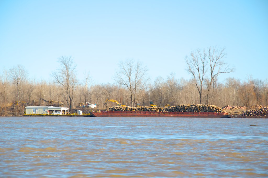
_DSC5781

_DSC5773
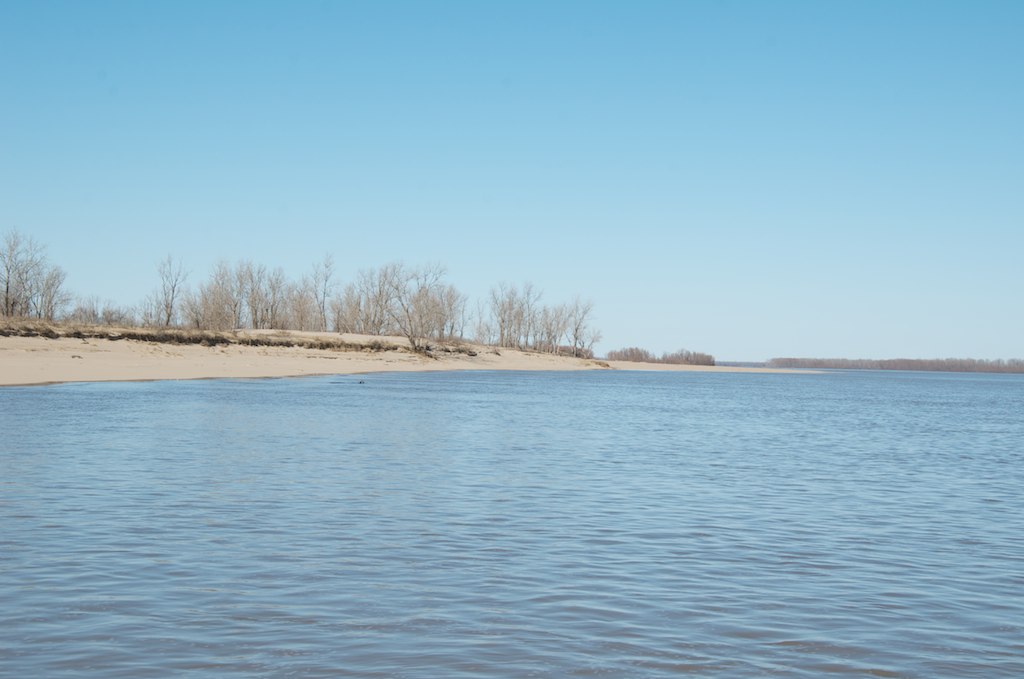
_DSC5753

_DSC5784
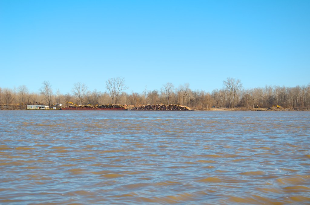
_DSC5780
Topographic Map of AR-44, Elaine, AR, USA
Find elevation by address:

Places near AR-44, Elaine, AR, USA:
Elaine
Tappan Township
West Helena
Phillips County
MS-1, Clarksdale, MS, USA
Sheriff Ridge Ave, Clarksdale, MS, USA
Spring Creek Township
Turner
Coahoma County
W Main, Marvell, AR, USA
Marvell
Ford St, Clarksdale, MS, USA
Cypress Township
1608 College
1270 Ar-146
1270 Ar-146
State Hwy, Poplar Grove, AR, USA
Hornor Township
Crowfoot Lake
805 Spruce St
Recent Searches:
- Elevation of 15th Ave SE, St. Petersburg, FL, USA
- Elevation of Beall Road, Beall Rd, Florida, USA
- Elevation of Leguwa, Nepal
- Elevation of County Rd, Enterprise, AL, USA
- Elevation of Kolchuginsky District, Vladimir Oblast, Russia
- Elevation of Shustino, Vladimir Oblast, Russia
- Elevation of Lampiasi St, Sarasota, FL, USA
- Elevation of Elwyn Dr, Roanoke Rapids, NC, USA
- Elevation of Congressional Dr, Stevensville, MD, USA
- Elevation of Bellview Rd, McLean, VA, USA