Elevation of Apple Grove Road, Apple Grove Rd, 3, VA, USA
Location: United States > Virginia > Amherst County > > Monroe >
Longitude: -79.174378
Latitude: 37.5770826
Elevation: 460m / 1509feet
Barometric Pressure: 96KPa
Elevation Map:
Satellite Map:
Related Photos:

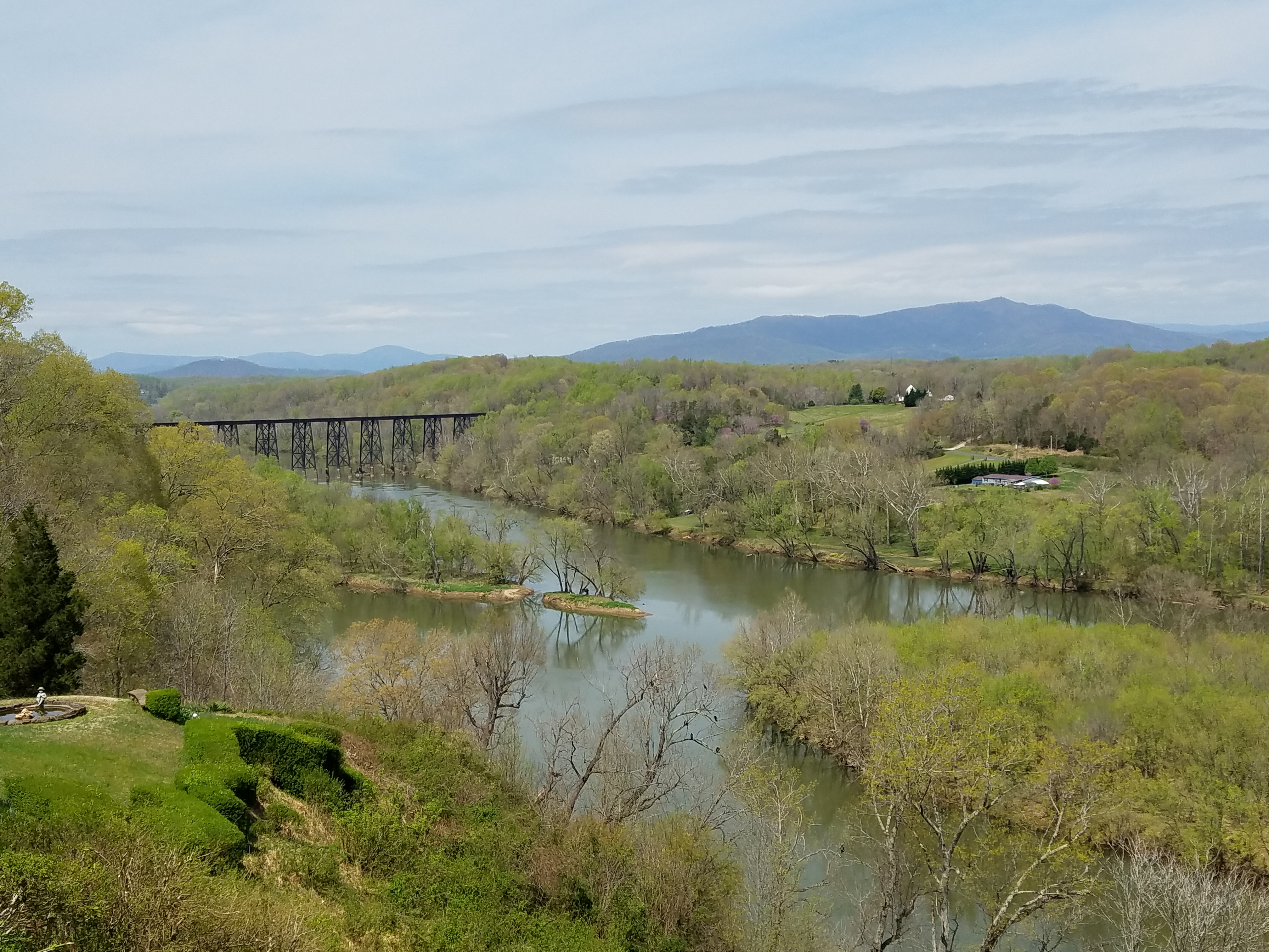
The Blue Ridge Mountains from Fancy Hill

View from Sandidges, June 2018

rear view of Miller-Claytor House in Lynchburg

Peephole View of the Reading Room,1959

The Reading Room, 1933

Peephole View of the Reading Room, circa 1970

Reading Room -- 1935
view from end of Huron Street in Lynchburg

Peephole View of the Reading Room, February 1959

view from Lynchburg toward Tobacco Row Mountain

Tobacco Row Mountain and clouds - viewed from Lynchburg

Library Exterior: View from Right with Ivy, circa 1935-8

view from Lynchburg toward Tobacco Row Mountain

view in Amherst County near Elon, including Tobacco Row Mountain

Todd On Rock, Agricola, Virginia

View from the Parkway 8561
Madeline Coleman - Tina
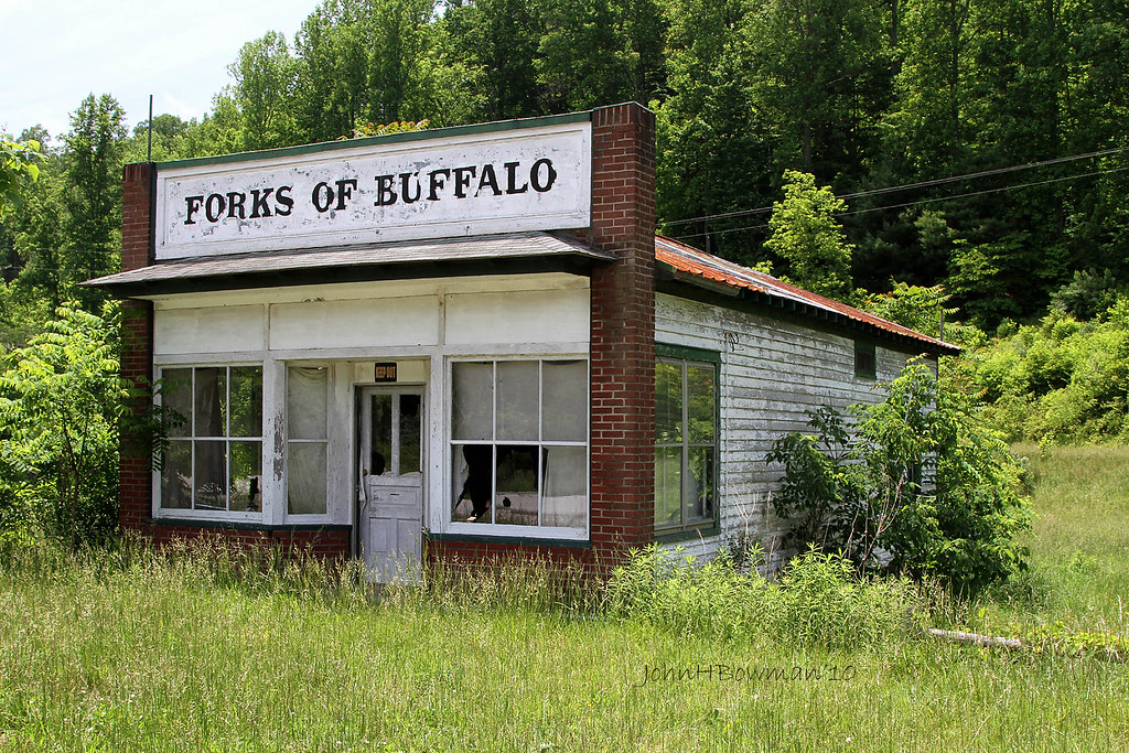
Forks of Buffalo - Virginia

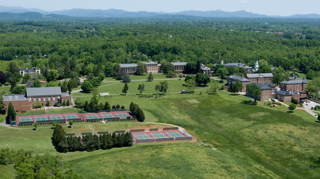
Sweet Briar College

Sweet Briar College

Sweet Briar College

Otter Creek-Explore
Otter Creek

Brown Mountain Creek

Cattle, Sandidges June 2018

West from Potato Hill Mountain, Agricola, Virginia
Sweet Briar College

Agricola From Potato Hill. Virginia

Little Irish Creek

20190623 5DIV mountain motorcycle ride 79
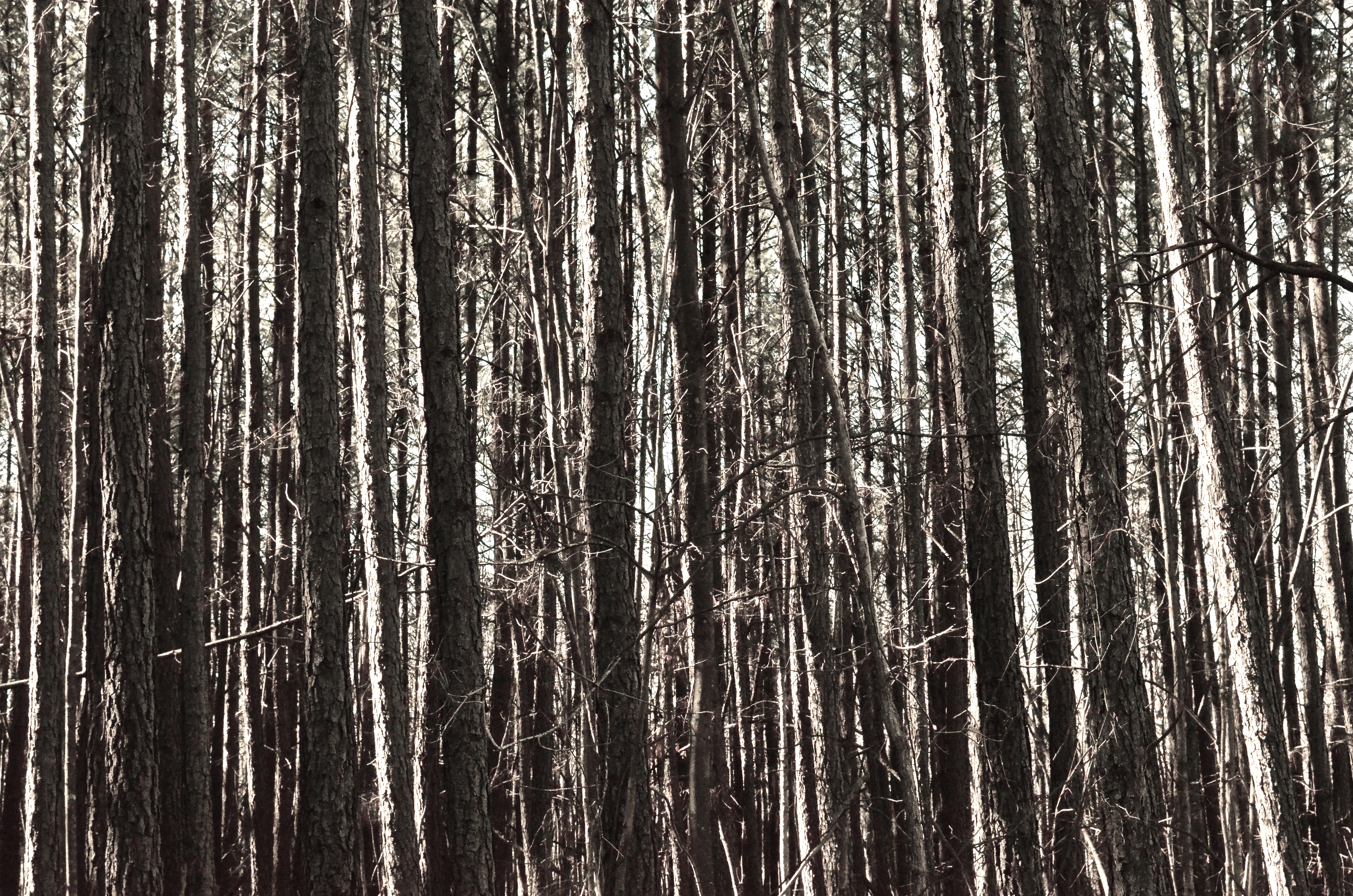
Trees for forest, forest for trees

Pedlar Dam

Amherst County Virginia

Unknown Falls

2007 Monacan Nation Powwow: Children's Day: The backdrop
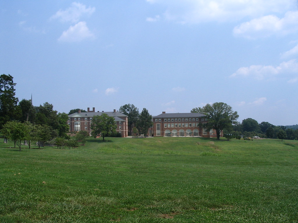
Sweet Briar Women's College - from the greens

Otter Creek

SBC-0630

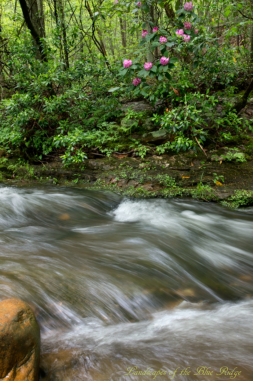
The Riffles

Creative Writing Hike
Topographic Map of Apple Grove Road, Apple Grove Rd, 3, VA, USA
Find elevation by address:

Places near Apple Grove Road, Apple Grove Rd, 3, VA, USA:
2201 State Rte 636
2201 State Rte 636
Region 2000 Radio Site
Tree Loft Lane
804 Grant's Hollow Rd
295 Foxcroft Dr
Wagon Trail Road
668 Peters Hollow Rd
1487 Father Judge Rd
548 Crest Of Pedlar Dr
Amherst County
285 Meadow Hollow Loop
110 Dancing Creek Rd
110 Dancing Creek Rd
110 Dancing Creek Rd
110 Dancing Creek Rd
110 Dancing Creek Rd
235 Ridgeview Ln
N 5 Forks Rd, Amherst, VA, USA
3, VA, USA
Recent Searches:
- Elevation of Lampiasi St, Sarasota, FL, USA
- Elevation of Elwyn Dr, Roanoke Rapids, NC, USA
- Elevation of Congressional Dr, Stevensville, MD, USA
- Elevation of Bellview Rd, McLean, VA, USA
- Elevation of Stage Island Rd, Chatham, MA, USA
- Elevation of Shibuya Scramble Crossing, 21 Udagawacho, Shibuya City, Tokyo -, Japan
- Elevation of Jadagoniai, Kaunas District Municipality, Lithuania
- Elevation of Pagonija rock, Kranto 7-oji g. 8"N, Kaunas, Lithuania
- Elevation of Co Rd 87, Jamestown, CO, USA
- Elevation of Tenjo, Cundinamarca, Colombia