Elevation of Antutot, Nueva Vizcaya, Philippines
Location: Philippines > Cagayan Valley > Nueva Vizcaya >
Longitude: 121.211121
Latitude: 16.3392534
Elevation: 1332m / 4370feet
Barometric Pressure: 86KPa
Elevation Map:
Satellite Map:
Related Photos:

Sunset near Bambag, Nueva Vizcaya, Philippines

Ferris-wheel.
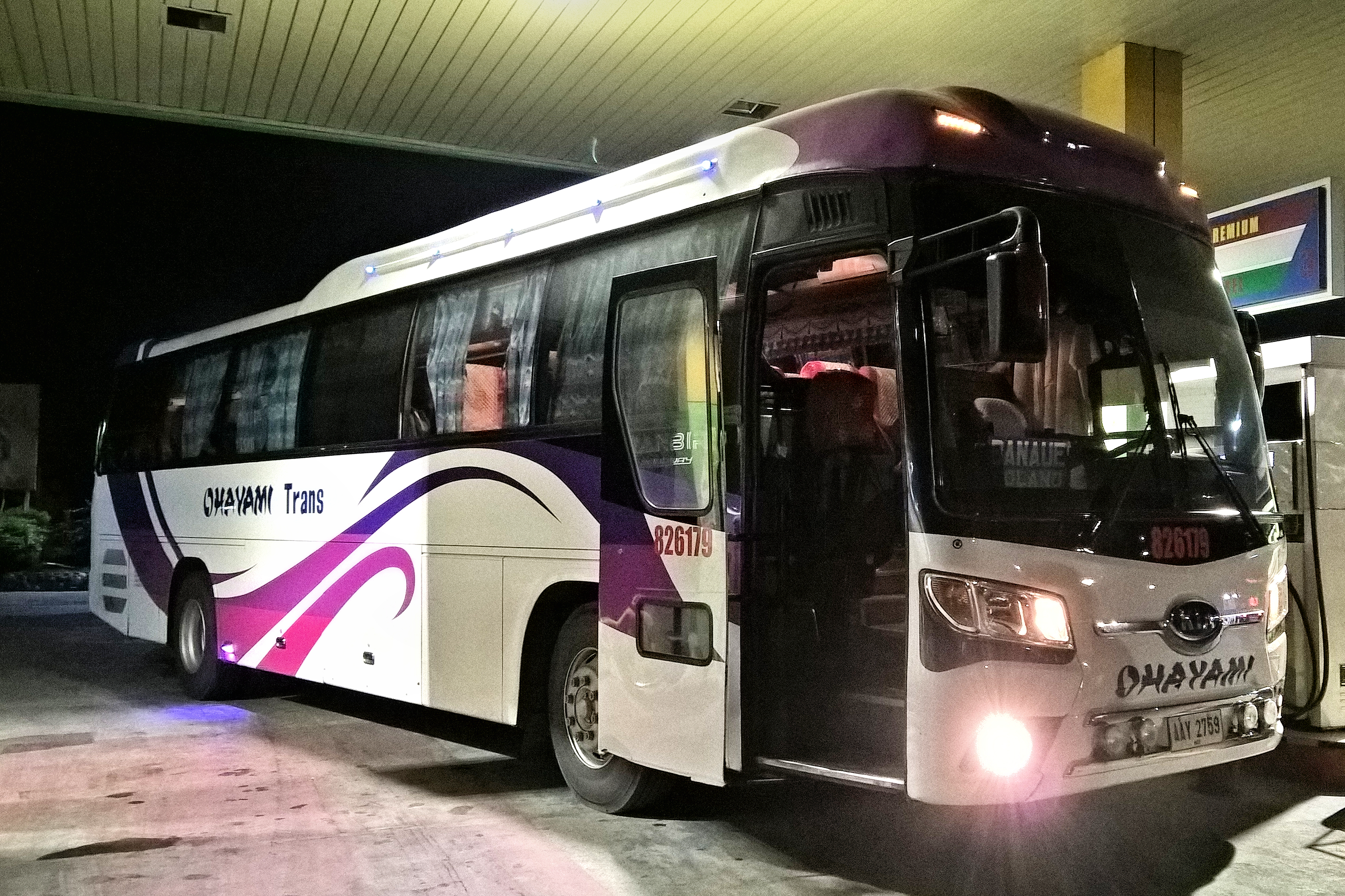
Ohayami Trans 826179
Victory Liner 2008

©dennisdancel #huawei #p9

Ohayami Trans 1748

Patio Zenaida.

The Rest House.

Comfort Room sign.

So awesome!!!

Le Guns!

Fire!
Victory Liner

Victory Liner
Topographic Map of Antutot, Nueva Vizcaya, Philippines
Find elevation by address:

Places near Antutot, Nueva Vizcaya, Philippines:
Nueva Vizcaya
Cordon
Mabuslo Elementary School
Pallas Elementary School
Bambang
Buag (pob.)
Kasibu
Bambang
Saint Mary's University
Barangay Don Mariano Marcos
Bayombong
National Road
Nueva Vizcaya Provincial Capitol
42 Luna St
Masoc Elementary School
Tambunting Pawnshop - Barangay Poblacion South
Solano
Philippine Science High School - Cagayan Valley Campus
Barangay Masoc
Casat National High School
Recent Searches:
- Elevation of Chesaw Rd, Oroville, WA, USA
- Elevation of N, Mt Pleasant, UT, USA
- Elevation of 6 Rue Jules Ferry, Beausoleil, France
- Elevation of Sattva Horizon, 4JC6+G9P, Vinayak Nagar, Kattigenahalli, Bengaluru, Karnataka, India
- Elevation of Great Brook Sports, Gold Star Hwy, Groton, CT, USA
- Elevation of 10 Mountain Laurels Dr, Nashua, NH, USA
- Elevation of 16 Gilboa Ln, Nashua, NH, USA
- Elevation of Laurel Rd, Townsend, TN, USA
- Elevation of 3 Nestling Wood Dr, Long Valley, NJ, USA
- Elevation of Ilungu, Tanzania