Elevation map of Cagayan Valley, Philippines
Location: Philippines >
Longitude: 121.810707
Latitude: 16.9753758
Elevation: 40m / 131feet
Barometric Pressure: 101KPa
Elevation Map:
Satellite Map:
Related Photos:
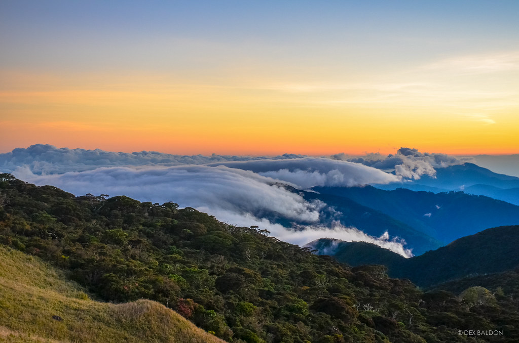
Mt. Pulag Sunset
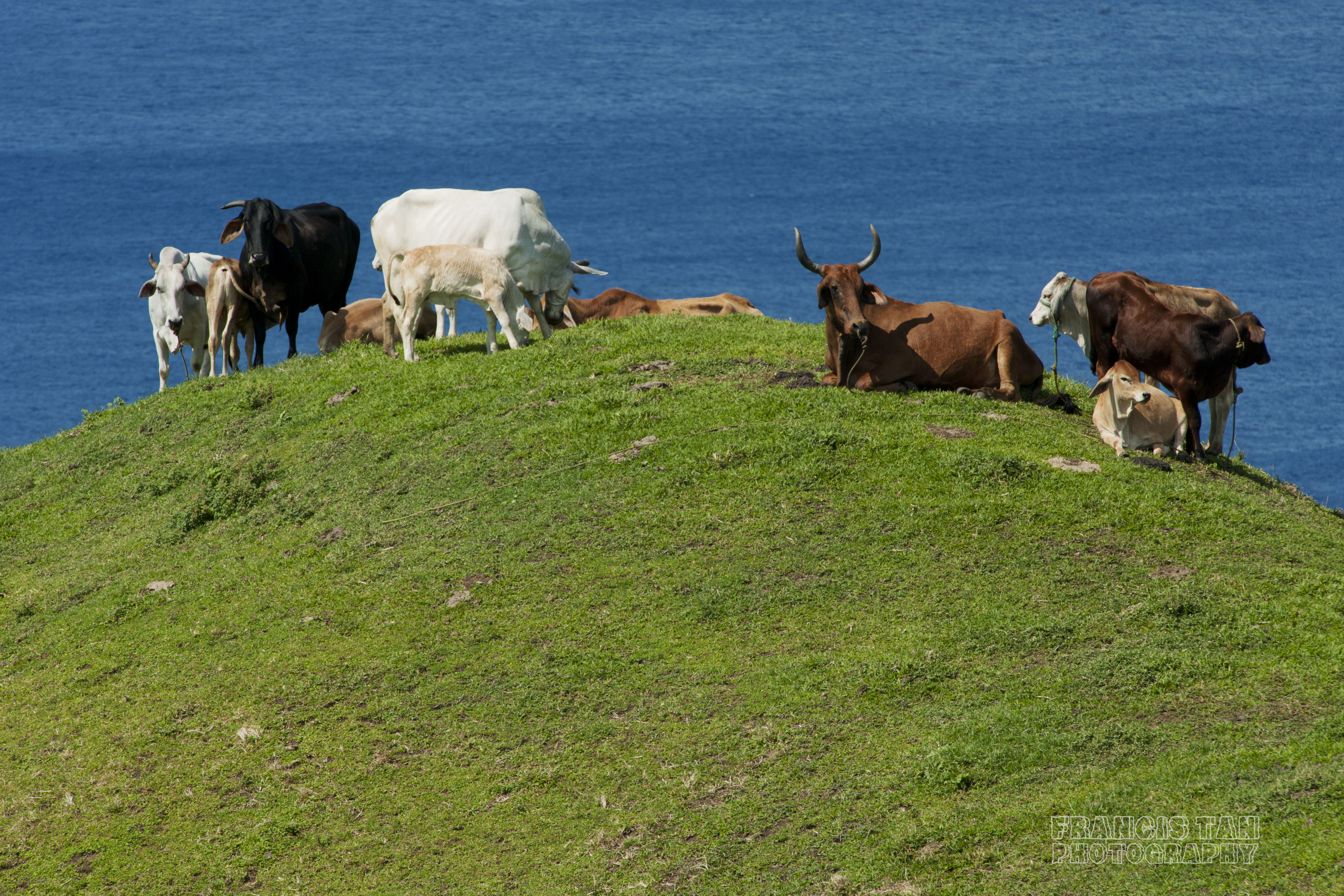
COWference With the Boss

clarence photography

Across the universe
Take Me to the Other Side
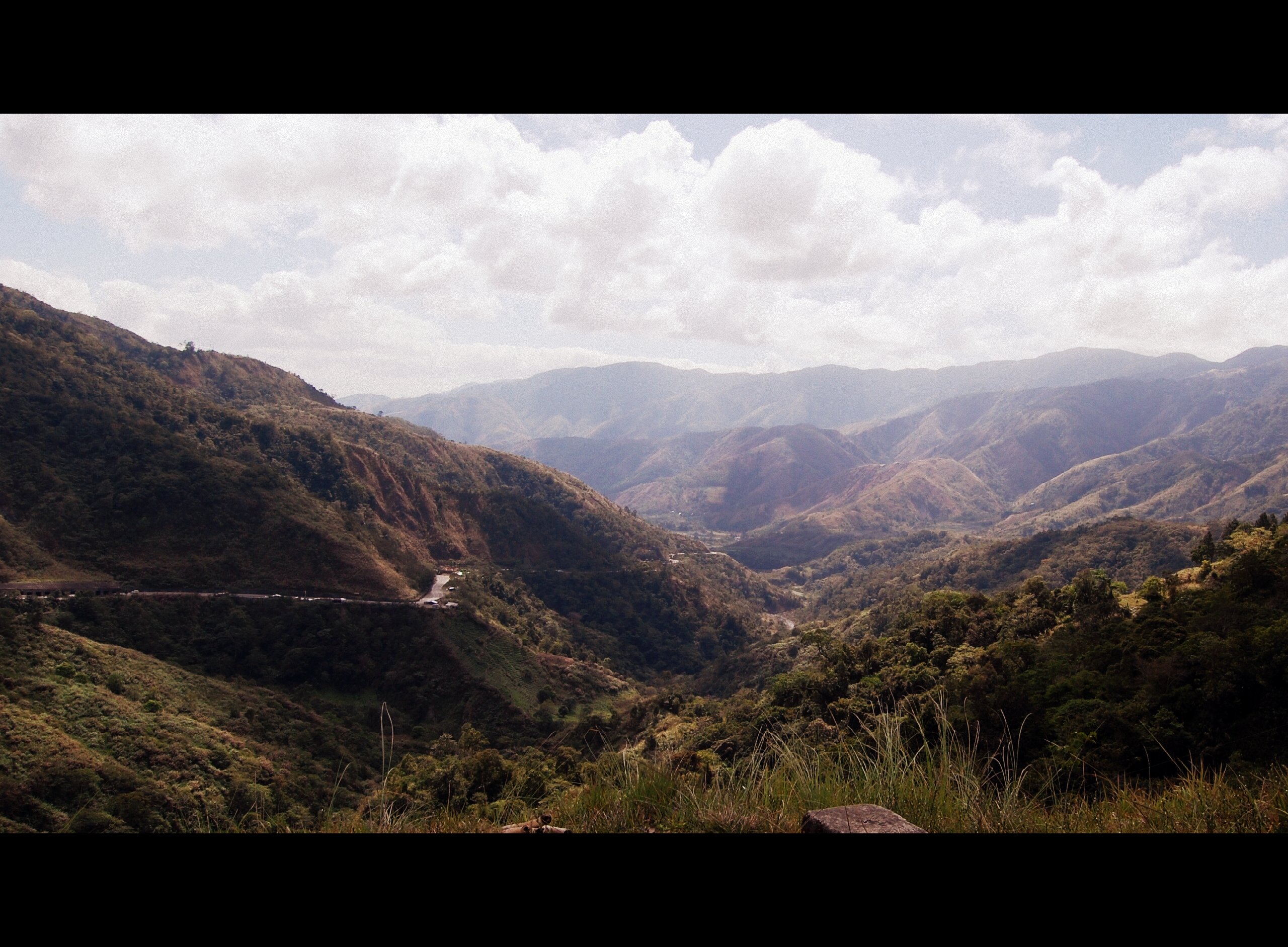
Dalton Pass
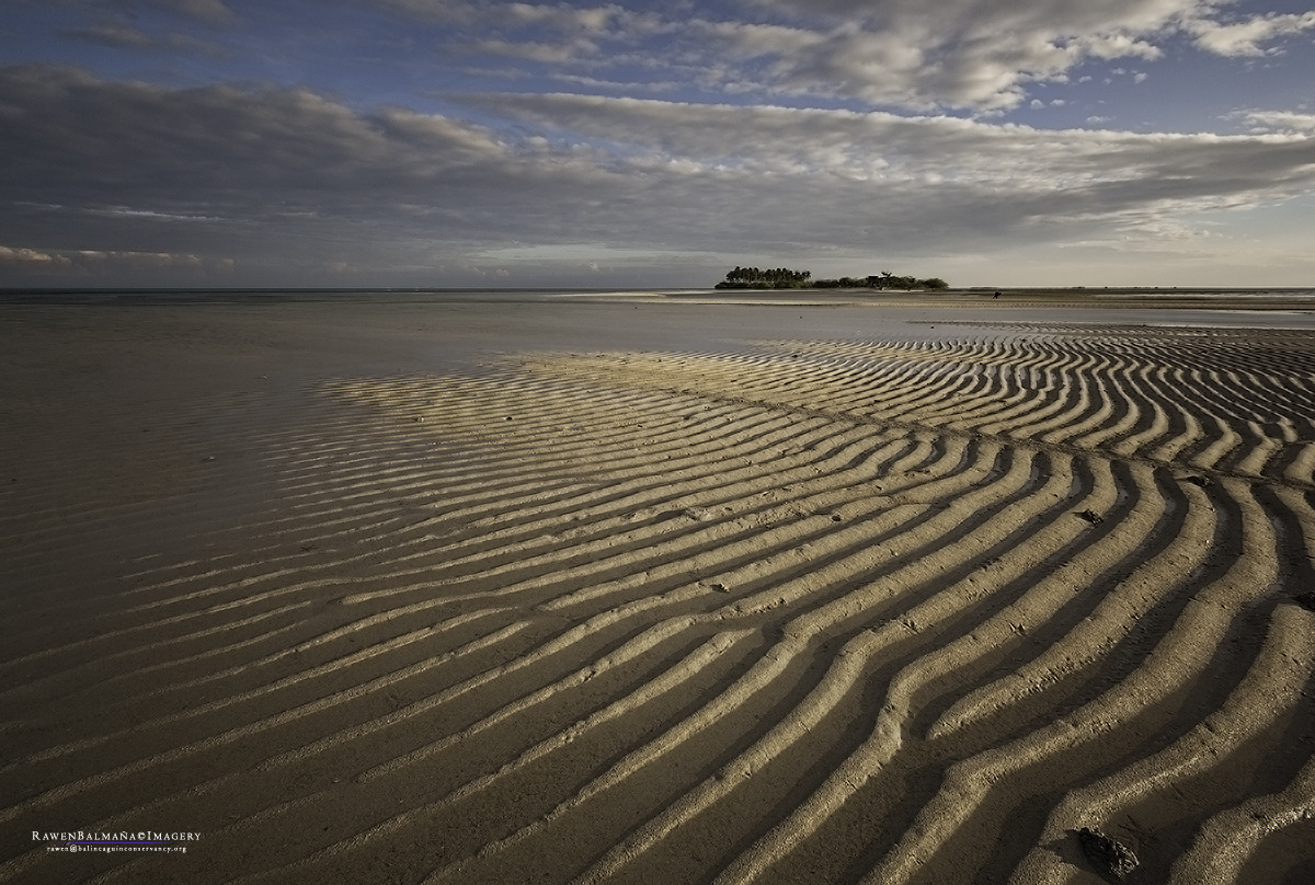
Tanduyong Island
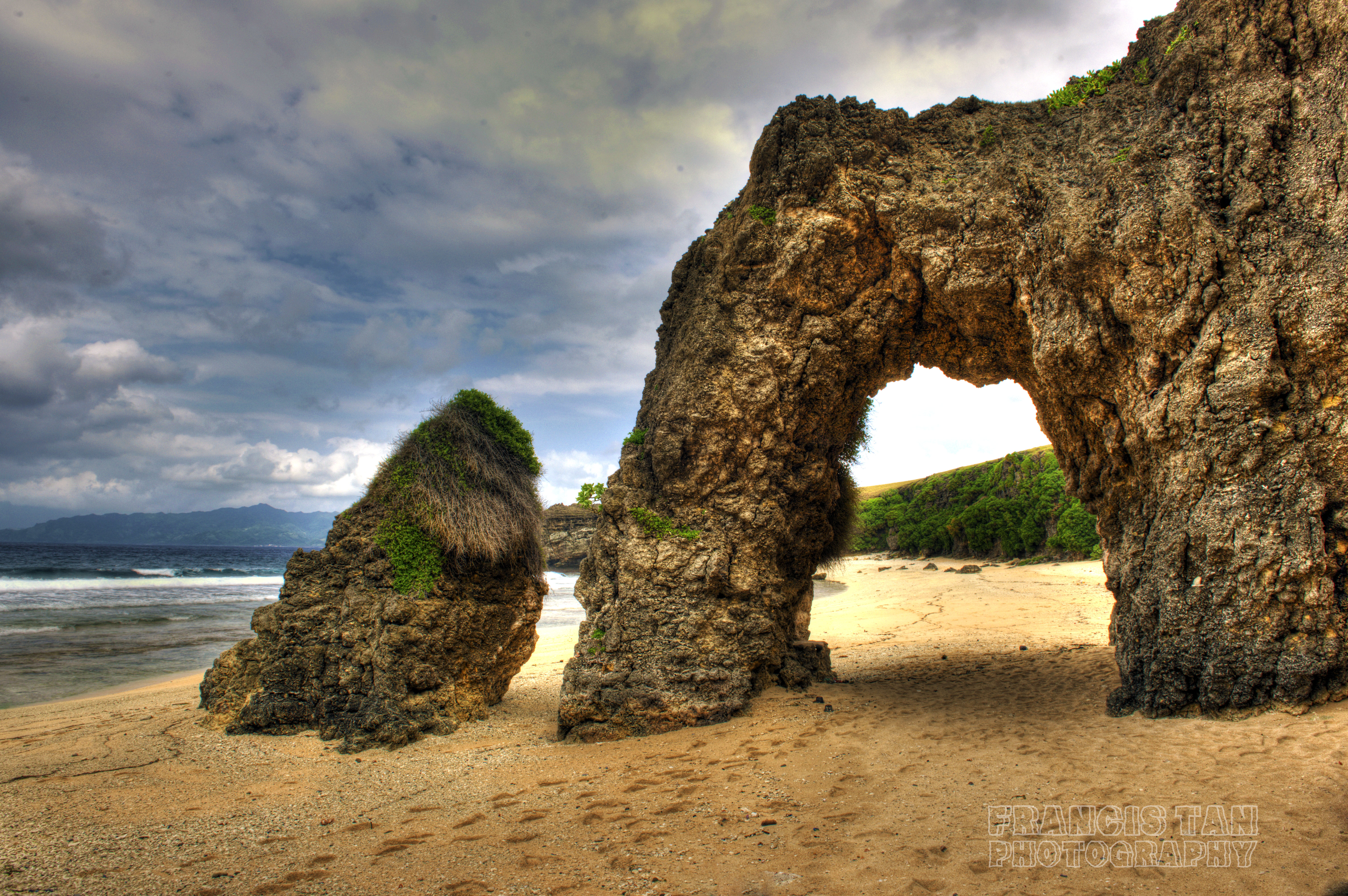
Rock Architecture
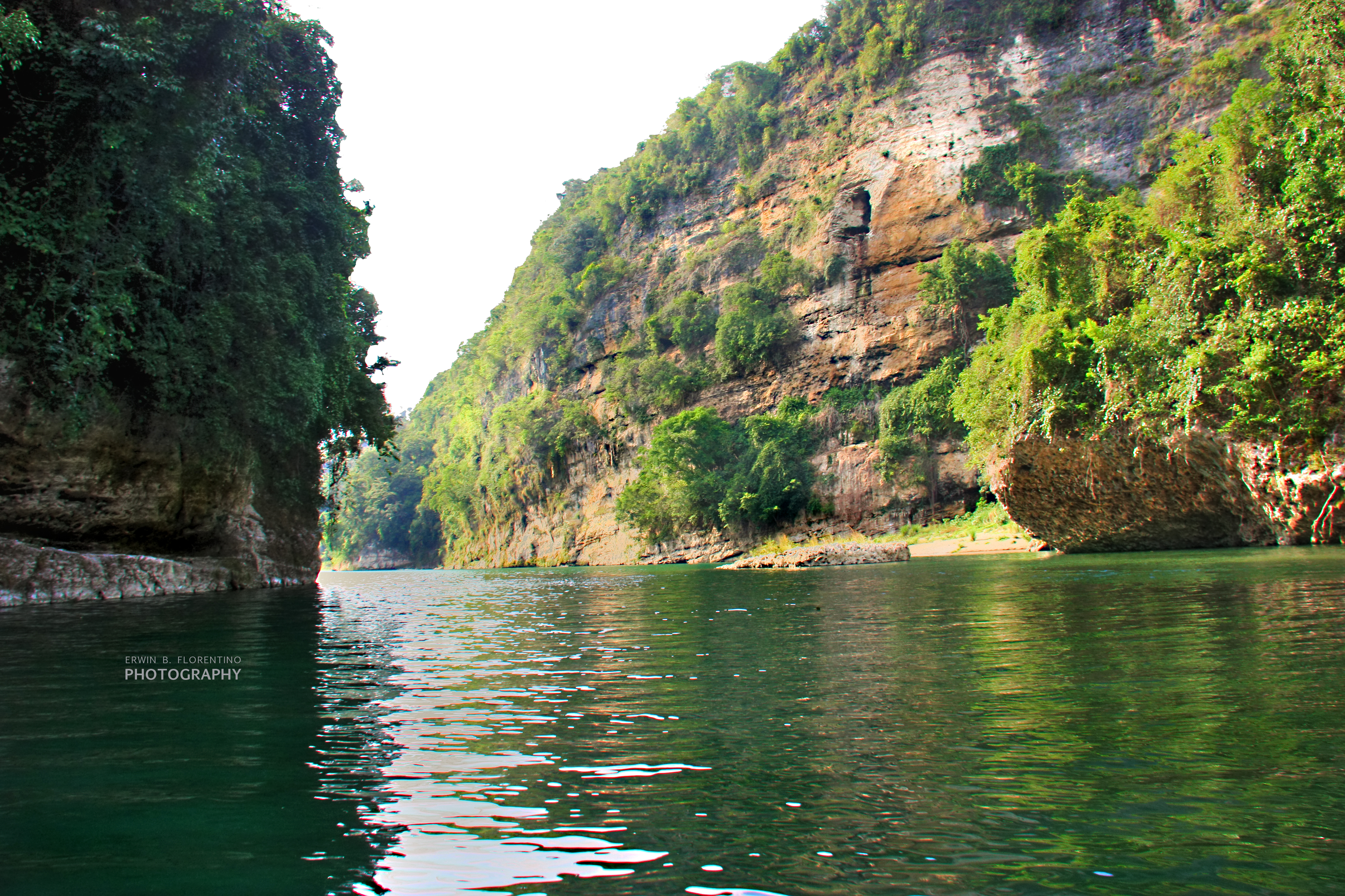
callao cave ( cagayan valley)

A glimpse of sunset at Chadpidan
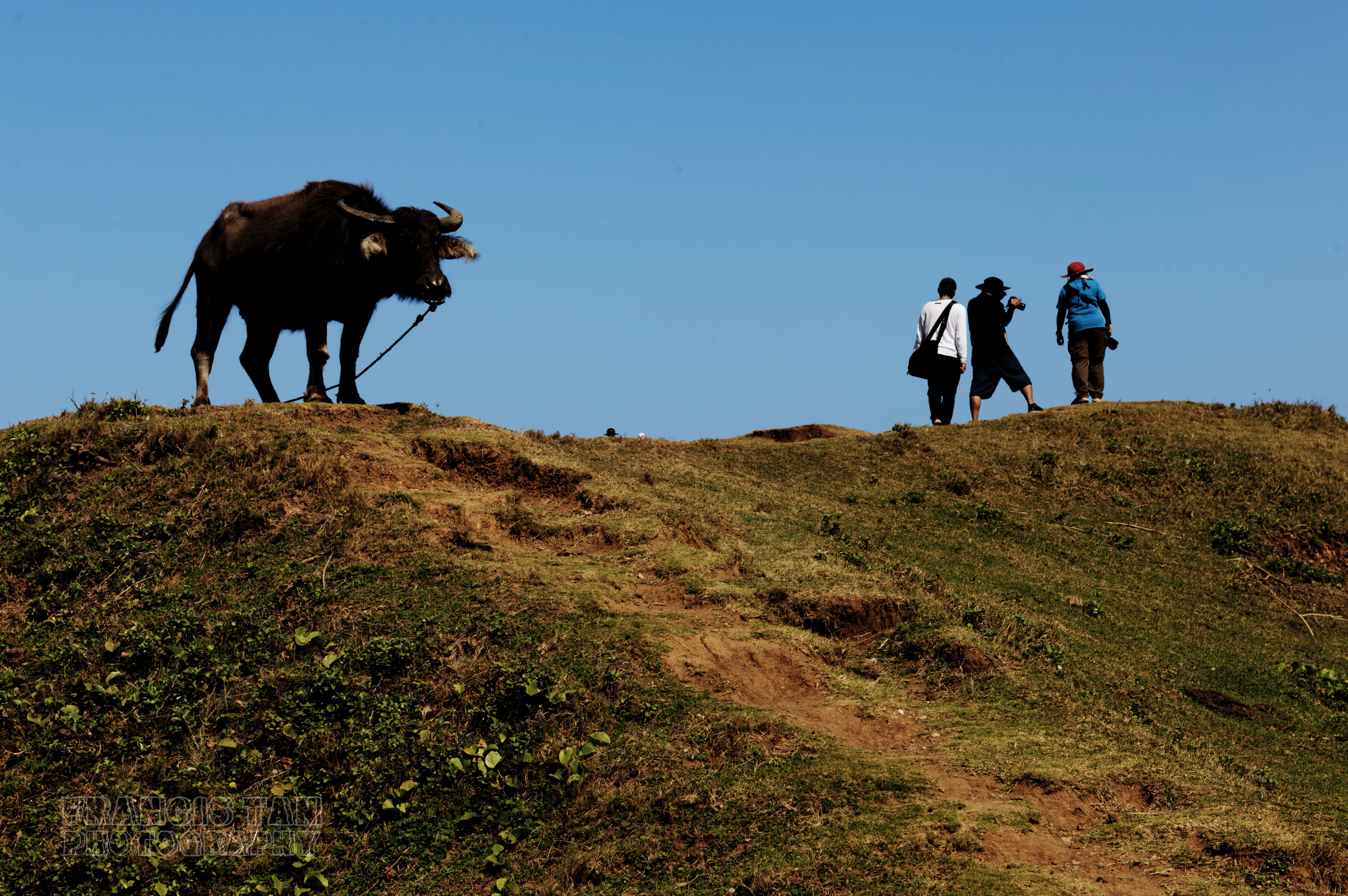
Farmer's Beast Friend

Macatel Falls, Claveria, Cagayan
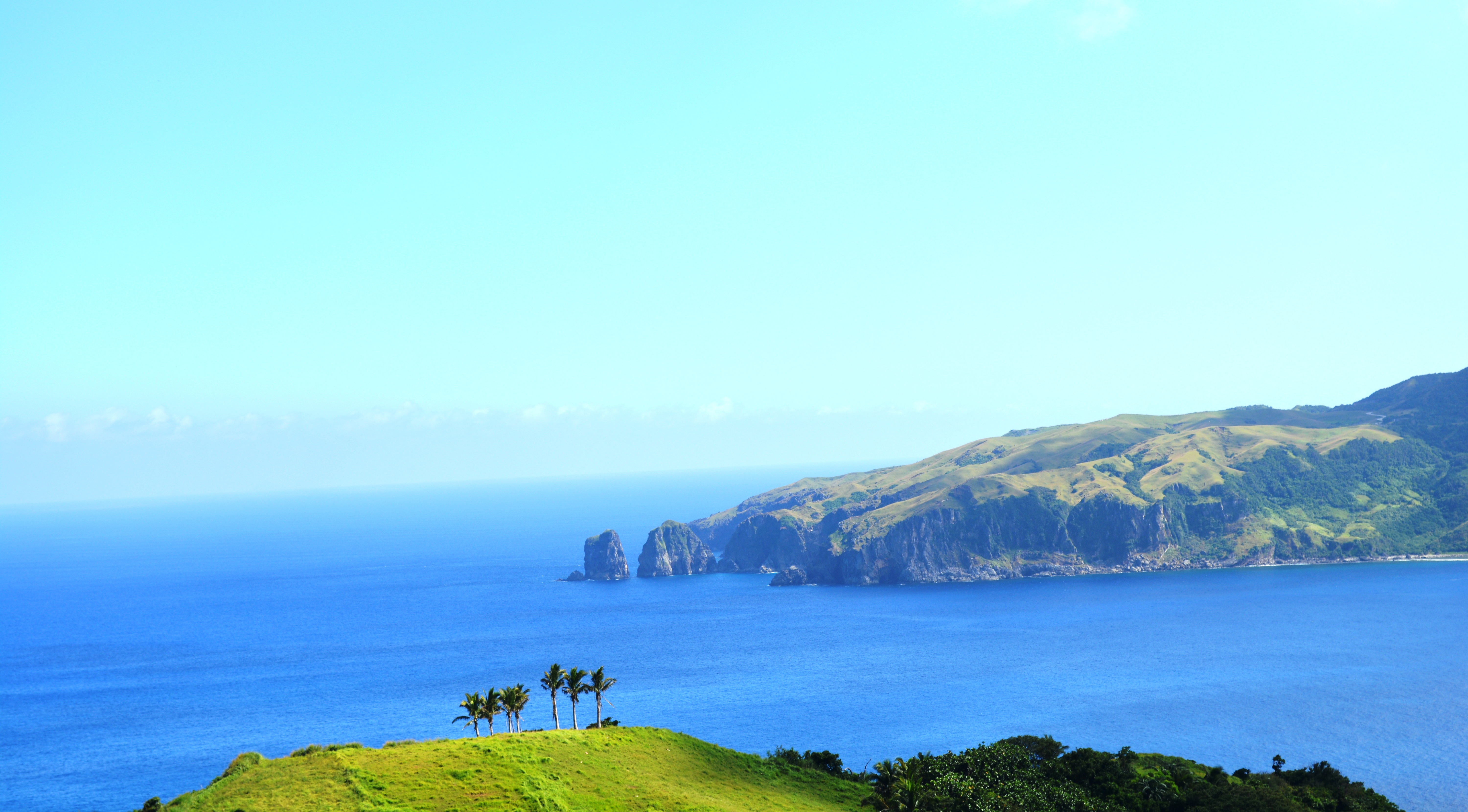
Basco, Batanes Coast

THE CLINGER

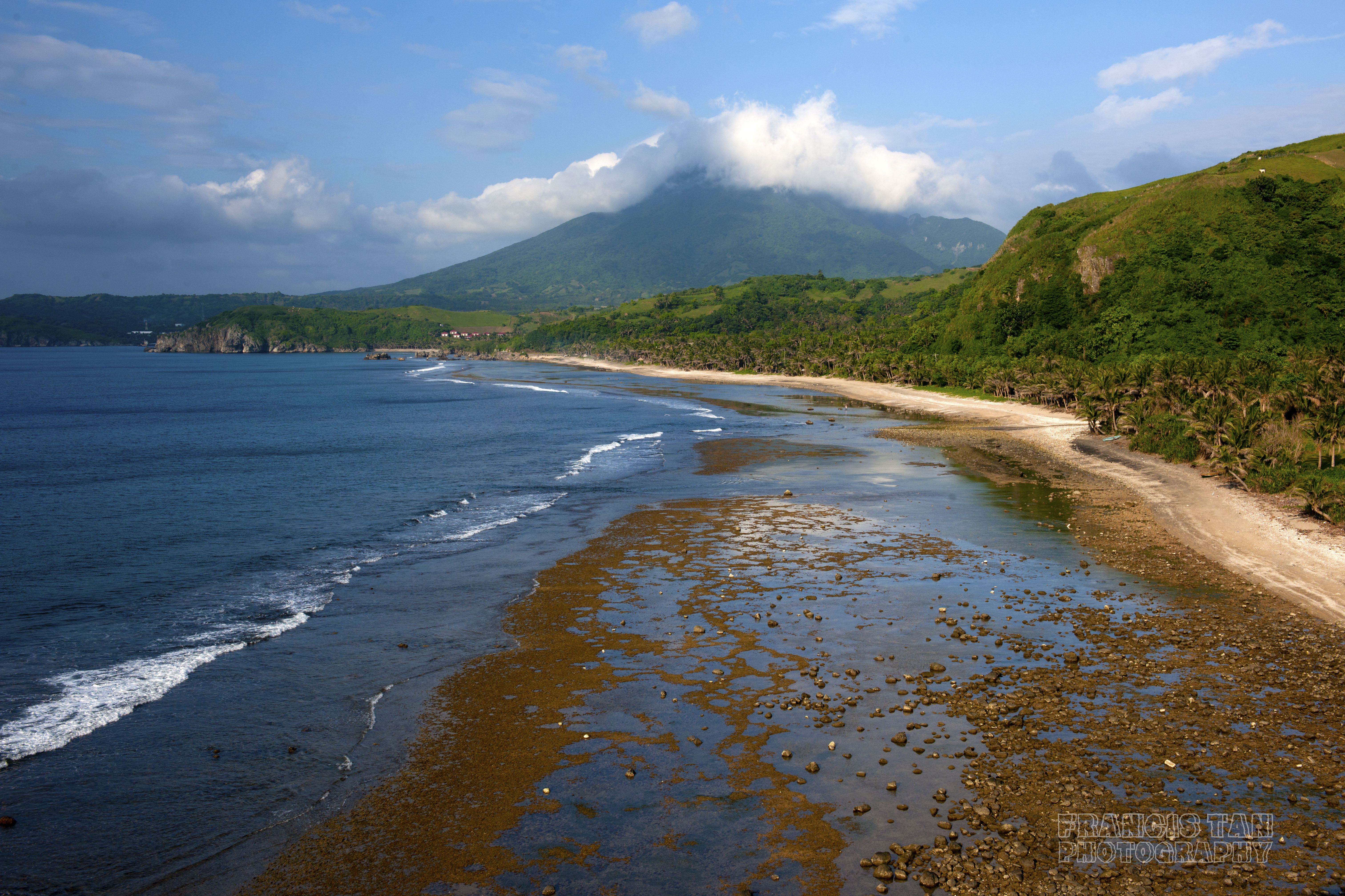
Iraya glistens in morning light
on-and-on
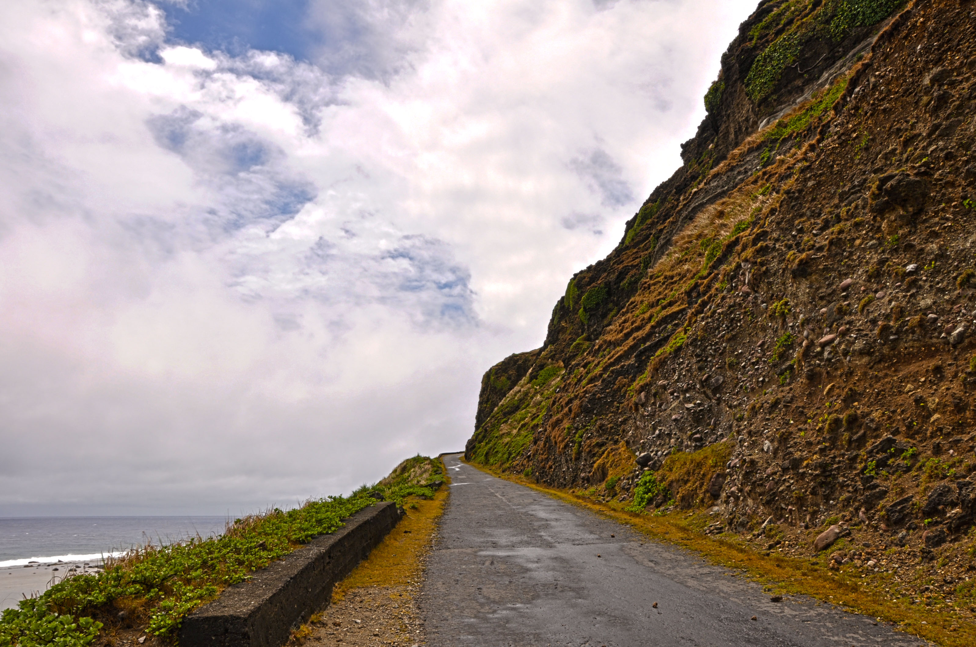
Basco In My Mind
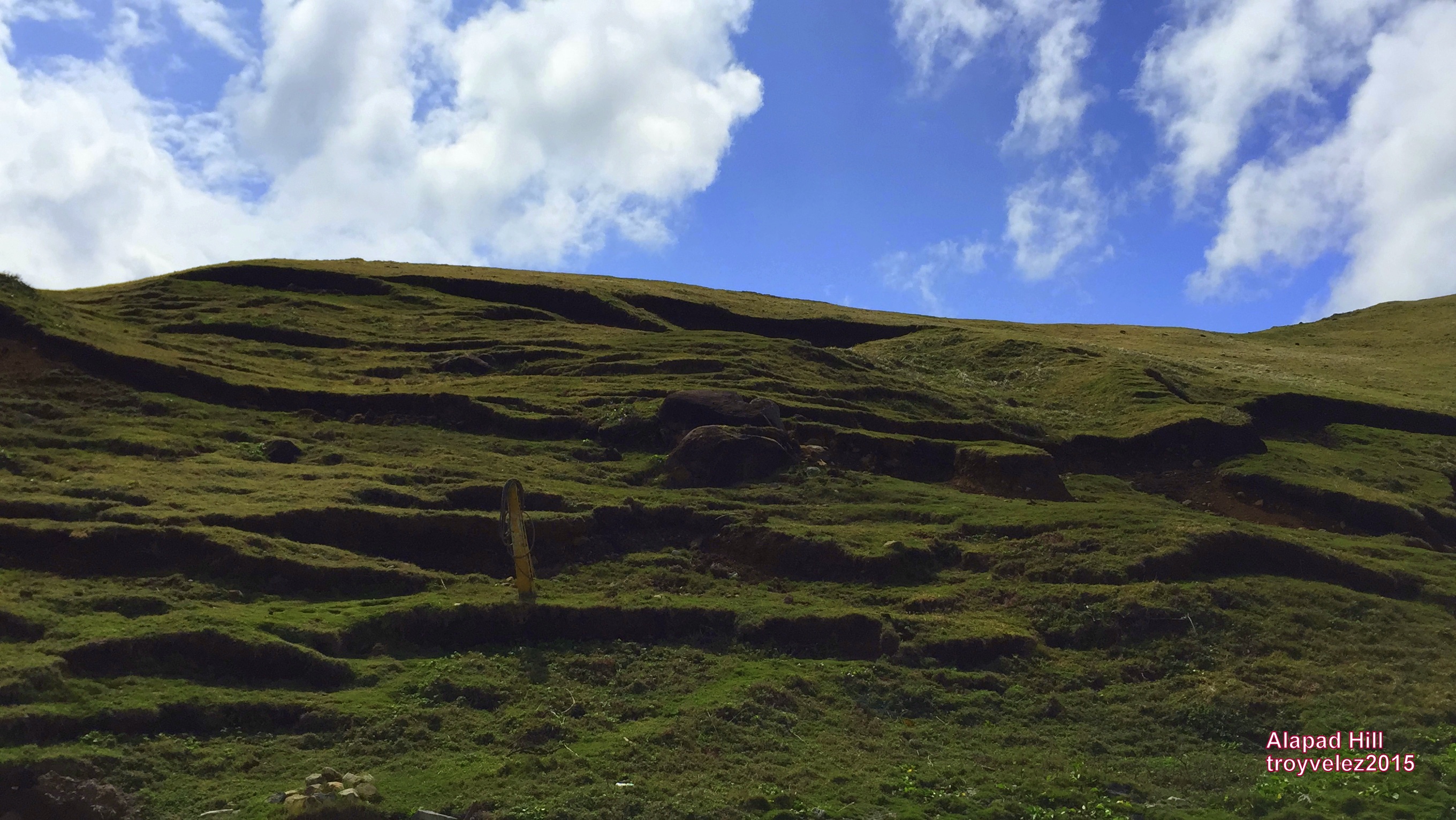
Alapad Hill and Rock Formation
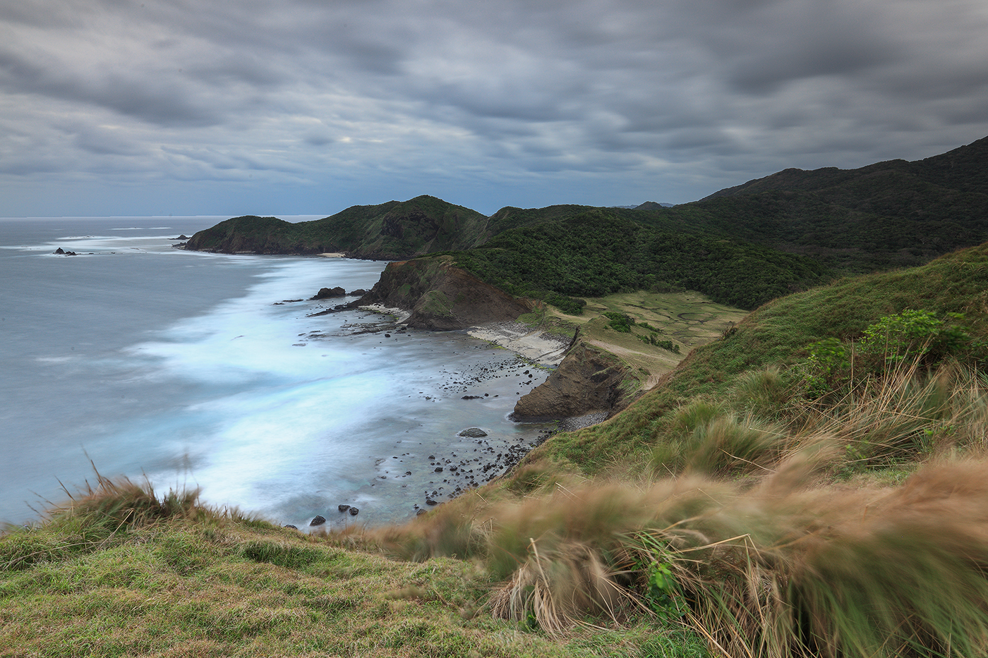
Pale Island Grand Vista
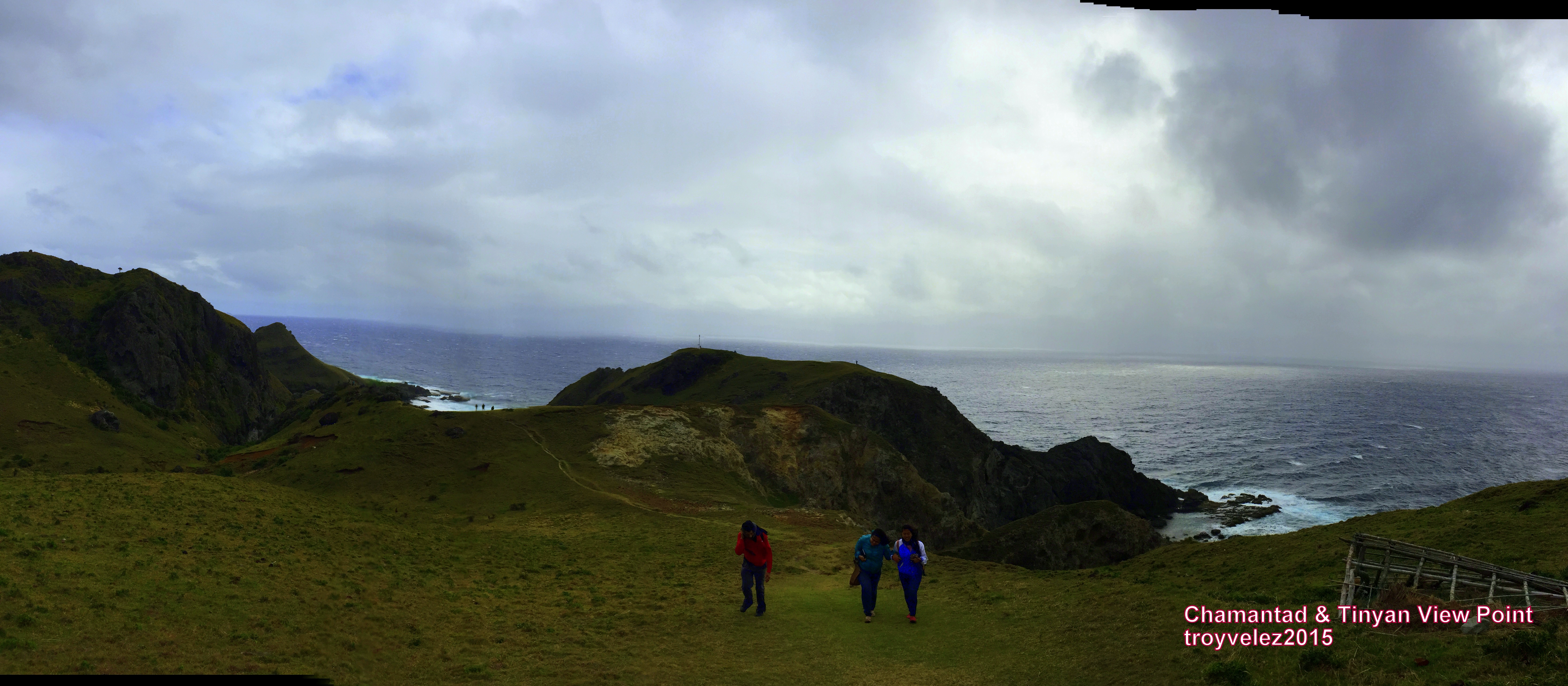
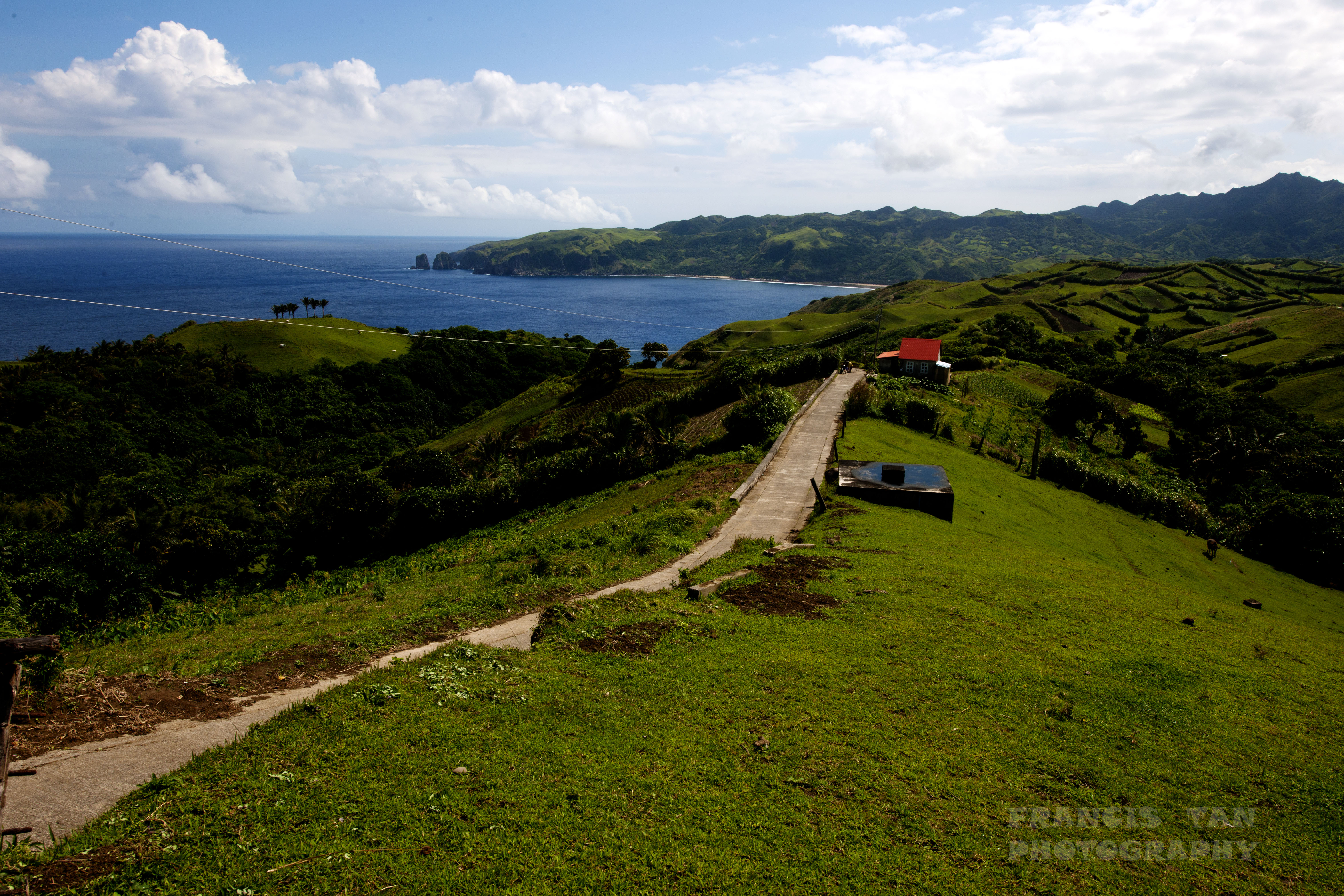
Chamantad-Tinyan Viewpoint in Sabtang

The Calvary Hills, Iguig, Cagayan
Topographic Map of Cagayan Valley, Philippines
Find elevation by address:

Places in Cagayan Valley, Philippines:
Places near Cagayan Valley, Philippines:
Isabela
Cauayan City
Cabatuan
Ilagan
Kalabaza Elem. School
Aurora
Kalabaza-macatal Road
Roxas
San Mateo
Roxas Freedom Park
Munoz East
Tumauini Public Market
Tumauini
Alfonso Lista
Simmacbot Mountain Province
Alfonso Lista Police Station
Ilagan City
Paracelis
Fugu Norte
Buringal
Recent Searches:
- Elevation of Corso Fratelli Cairoli, 35, Macerata MC, Italy
- Elevation of Tallevast Rd, Sarasota, FL, USA
- Elevation of 4th St E, Sonoma, CA, USA
- Elevation of Black Hollow Rd, Pennsdale, PA, USA
- Elevation of Oakland Ave, Williamsport, PA, USA
- Elevation of Pedrógão Grande, Portugal
- Elevation of Klee Dr, Martinsburg, WV, USA
- Elevation of Via Roma, Pieranica CR, Italy
- Elevation of Tavkvetili Mountain, Georgia
- Elevation of Hartfords Bluff Cir, Mt Pleasant, SC, USA