Elevation map of Cagayan, Philippines
Location: Philippines > Cagayan Valley >
Longitude: 121.878783
Latitude: 18.2489629
Elevation: 5m / 16feet
Barometric Pressure: 101KPa
Elevation Map:
Satellite Map:
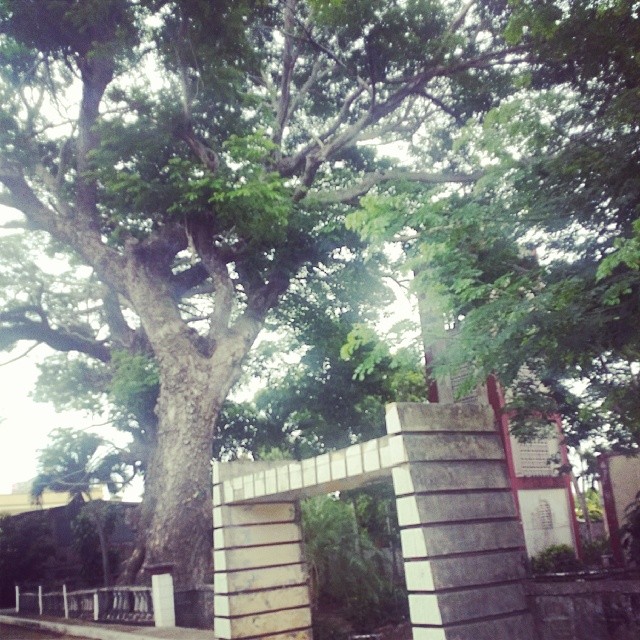
Related Photos:

Lake Bangalau
To travel alone #lessworries #freedom #newculture #cagayan #gonzaga #tour #vacation

Ååå

Father with a doughter

They call it jumping salad.
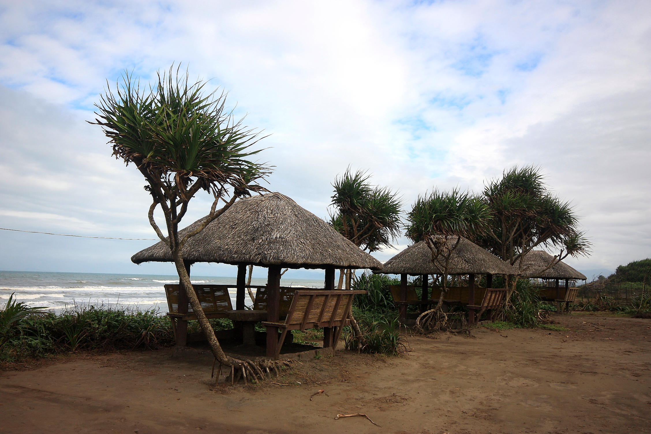
Jolo Beach Resort

x2011-09-19-014tipid
Topographic Map of Cagayan, Philippines
Find elevation by address:

Places in Cagayan, Philippines:
Places near Cagayan, Philippines:
Gattaran
Gonzaga
Lasam
Cabatacan West Primary School
Cabatacan East (duldugan)
Dagupan
Iguig
St. Clare Monastery
Peñablanca
Penablanca
Carig
Cagayan State University, Carig Campus
Cagayan Valley Medical Center
Pengue-ruyu Elementary School
Tuguegarao Airport
Libag Sur
Pengue-ruyu Elementary School
Abulog River
Tuguegarao City
Cagayan Valley Road
Recent Searches:
- Elevation of 72-31 Metropolitan Ave, Middle Village, NY, USA
- Elevation of 76 Metropolitan Ave, Brooklyn, NY, USA
- Elevation of Alisal Rd, Solvang, CA, USA
- Elevation of Vista Blvd, Sparks, NV, USA
- Elevation of 15th Ave SE, St. Petersburg, FL, USA
- Elevation of Beall Road, Beall Rd, Florida, USA
- Elevation of Leguwa, Nepal
- Elevation of County Rd, Enterprise, AL, USA
- Elevation of Kolchuginsky District, Vladimir Oblast, Russia
- Elevation of Shustino, Vladimir Oblast, Russia