Elevation of Cordon, Kasibu, Nueva Vizcaya, Philippines
Location: Philippines > Cagayan Valley > Nueva Vizcaya > Kasibu >
Longitude: 121.268359
Latitude: 16.3717072
Elevation: 1077m / 3533feet
Barometric Pressure: 89KPa
Elevation Map:
Satellite Map:
Related Photos:

Magat Valley
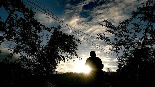
Taking a picture of the sunset...
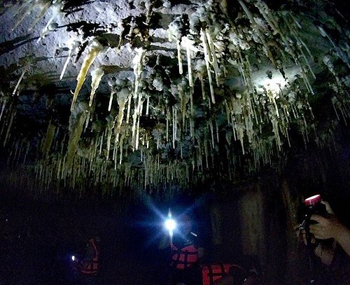
Dark depths of Lion-Alayan Cave that...
Topographic Map of Cordon, Kasibu, Nueva Vizcaya, Philippines
Find elevation by address:

Places near Cordon, Kasibu, Nueva Vizcaya, Philippines:
Saint Mary's University
Mabuslo Elementary School
Pallas Elementary School
Barangay Don Mariano Marcos
Nueva Vizcaya Provincial Capitol
Bambang
National Road
Bayombong
42 Luna St
Buag (pob.)
Tambunting Pawnshop - Barangay Poblacion South
Bambang
Masoc Elementary School
Barangay Masoc
Philippine Science High School - Cagayan Valley Campus
Pallas
Nansiakan
Binalian
Kayapa
Recent Searches:
- Elevation of Lampiasi St, Sarasota, FL, USA
- Elevation of Elwyn Dr, Roanoke Rapids, NC, USA
- Elevation of Congressional Dr, Stevensville, MD, USA
- Elevation of Bellview Rd, McLean, VA, USA
- Elevation of Stage Island Rd, Chatham, MA, USA
- Elevation of Shibuya Scramble Crossing, 21 Udagawacho, Shibuya City, Tokyo -, Japan
- Elevation of Jadagoniai, Kaunas District Municipality, Lithuania
- Elevation of Pagonija rock, Kranto 7-oji g. 8"N, Kaunas, Lithuania
- Elevation of Co Rd 87, Jamestown, CO, USA
- Elevation of Tenjo, Cundinamarca, Colombia