Elevation of Alderson Station, C&O Plaza, 1 Railroad Ave, Alderson, WV, USA
Location: United States > West Virginia > Greenbrier County > Eastern > Alderson >
Longitude: -80.644826
Latitude: 37.7243179
Elevation: 473m / 1552feet
Barometric Pressure: 96KPa
Elevation Map:
Satellite Map:
Related Photos:

John Henry Statue_Fisheye View

Hokes Mill Bridge 2

Winter's Afterglow in the Greenbrier Valley: Haiku #16

Past the point of no return

Out to pasture

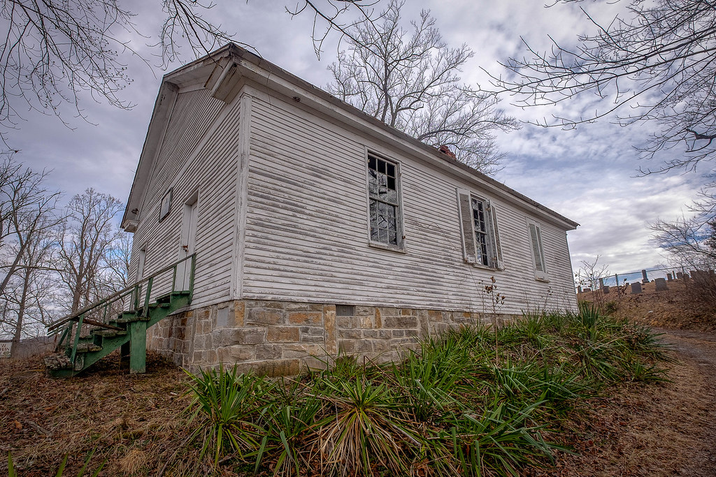
Alderson station

Pence Springs

The Grounds

Crossing the Greenbrier River in the winter

Crossing an ice-choked Greenbrier River.

Across the Tracks
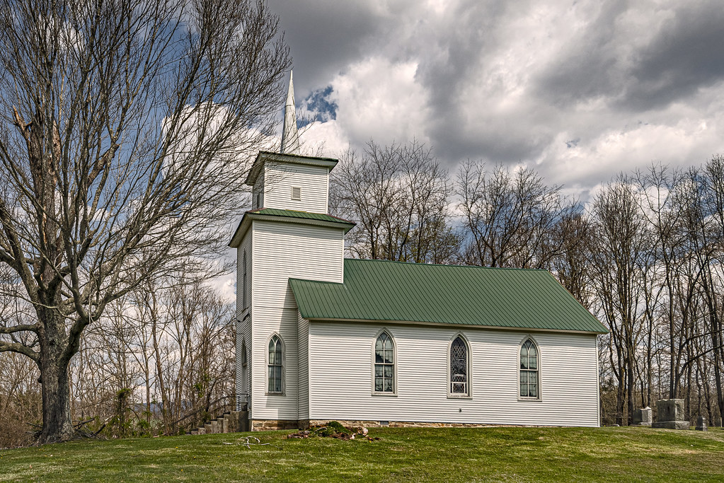
River View Church

Beyond the Sunset

View from Alderson (WV) Cemetery

View from Alderson (WV) Cemetery
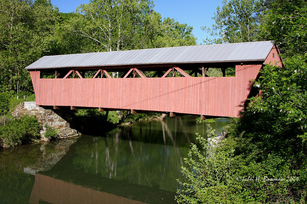
Hokes Mill Bridge

Alderson Cemetery (WV)

Snowflake WV: West Virginia: Snowflake Quarry

Ronceverte, West Virginia train station & tracks

Fort Spring WV: One of Two Tunnels

View from Alderson Cemetery (WV)

House on War Ridge Road

Wolf Creek Church Explored)

Historic WV Barn
Keller's Creek Church

Abandoned at Sinks Grove

Summers County Cattle Farm

Flint's Church

Mt. Vernon Church and Cemetery

Monroe County Farmhouse

Pickaway First Church of God

Summers County Farm

Wolf Creek Church_BW

Keller Church _BW
Lowell Pedestrian Bridge

Blue Sulphur Springs from a distance

Blue Sulphur Springs

Sourwood Mountain, WV

Sunset from Summers County WV--Sourwood Mtn

Wolf Creek Church
Topographic Map of Alderson Station, C&O Plaza, 1 Railroad Ave, Alderson, WV, USA
Find elevation by address:

Places near Alderson Station, C&O Plaza, 1 Railroad Ave, Alderson, WV, USA:
Alderson
West Maple Avenue
495 Big Branch Rd
Riverside Rest Rd, Alderson, WV, USA
429 Woodbrier Estates Rd
599 Woodbrier Estates Rd
Muddy Creek Mountain Road
Pence Springs
Lowell Rd, Pence Springs, WV, USA
Hungards Creek Road
West Virginia 12
Sinks Grove
Fort Springs Road
Wolf Creek Rd, Sinks Grove, WV, USA
4443 Judson Rd
Red Sulphur Turnpike
Talcott
Sinks Grove, WV, USA
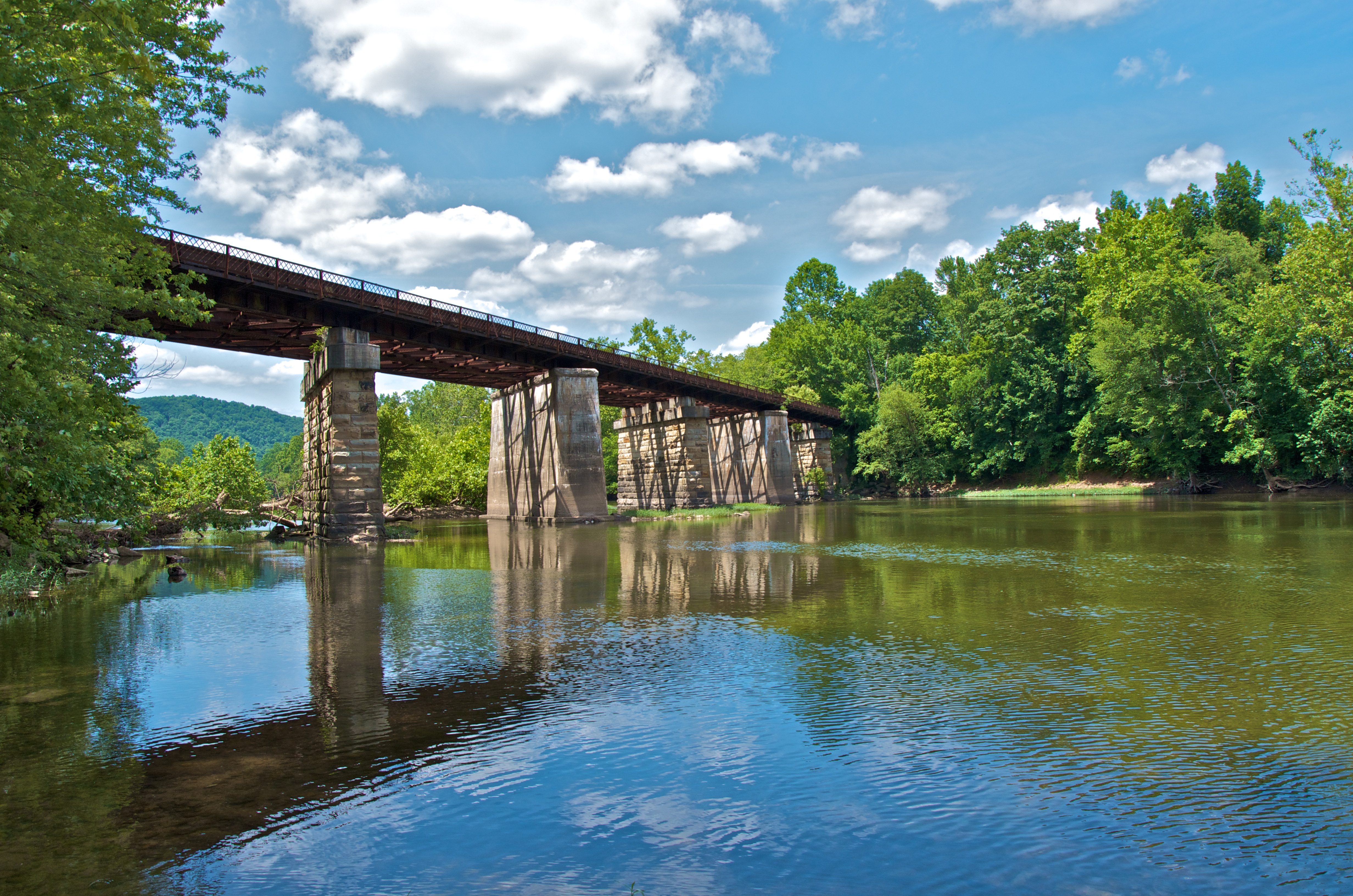
New River
Avalon Way
Recent Searches:
- Elevation of SW 57th Ave, Portland, OR, USA
- Elevation of Crocker Dr, Vacaville, CA, USA
- Elevation of Pu Ngaol Community Meeting Hall, HWHM+3X7, Krong Saen Monourom, Cambodia
- Elevation of Royal Ontario Museum, Queens Park, Toronto, ON M5S 2C6, Canada
- Elevation of Groblershoop, South Africa
- Elevation of Power Generation Enterprises | Industrial Diesel Generators, Oak Ave, Canyon Country, CA, USA
- Elevation of Chesaw Rd, Oroville, WA, USA
- Elevation of N, Mt Pleasant, UT, USA
- Elevation of 6 Rue Jules Ferry, Beausoleil, France
- Elevation of Sattva Horizon, 4JC6+G9P, Vinayak Nagar, Kattigenahalli, Bengaluru, Karnataka, India