Elevation of AL-14, Selma, AL, USA
Location: United States > Alabama > Perry County >
Longitude: -87.183532
Latitude: 32.5447021
Elevation: 49m / 161feet
Barometric Pressure: 101KPa
Elevation Map:
Satellite Map:
Related Photos:

Marion, AL - Marion Military Institute (view from Washington Street)
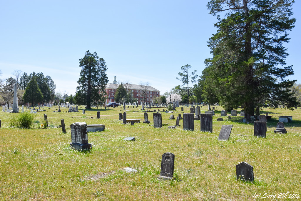
DSC_0089.jpg

Marion, AL - The Camellias (built early 1830s)
Discovering Peace

_DSC0392.jpg

_DSC0391.jpg

_DSC0382.jpg

_DSC0381.jpg

_DSC0361.jpg

_DSC0336.jpg
Topographic Map of AL-14, Selma, AL, USA
Find elevation by address:

Places near AL-14, Selma, AL, USA:
Co Rd 44, Selma, AL, USA
400 Kingsley Dr
396 Birch Ave
72 Co Rd 9, Orrville, AL, USA
Valley Grande
Co Rd 81, Valley Grande, AL, USA
500 Dallas Ave
Selma
245 Tanglewood Cir
6485 Co Rd 77
International Paper
Plantersville, AL, USA
Co Rd, Selma, AL, USA
1085 Foxhall Rd
Barnette Rd, Centreville, AL, USA
Oak St, Plantersville, AL, USA
Plantersville
Mt Olive Church Rd, Centreville, AL, USA
Jones
Co Rd, Jones, AL, USA
Recent Searches:
- Elevation of Congressional Dr, Stevensville, MD, USA
- Elevation of Bellview Rd, McLean, VA, USA
- Elevation of Stage Island Rd, Chatham, MA, USA
- Elevation of Shibuya Scramble Crossing, 21 Udagawacho, Shibuya City, Tokyo -, Japan
- Elevation of Jadagoniai, Kaunas District Municipality, Lithuania
- Elevation of Pagonija rock, Kranto 7-oji g. 8"N, Kaunas, Lithuania
- Elevation of Co Rd 87, Jamestown, CO, USA
- Elevation of Tenjo, Cundinamarca, Colombia
- Elevation of Côte-des-Neiges, Montreal, QC H4A 3J6, Canada
- Elevation of Bobcat Dr, Helena, MT, USA