Elevation of Mt Olive Church Rd, Centreville, AL, USA
Location: United States > Alabama > Perry County >
Longitude: -87.046303
Latitude: 32.7954563
Elevation: 104m / 341feet
Barometric Pressure: 100KPa
Elevation Map:
Satellite Map:
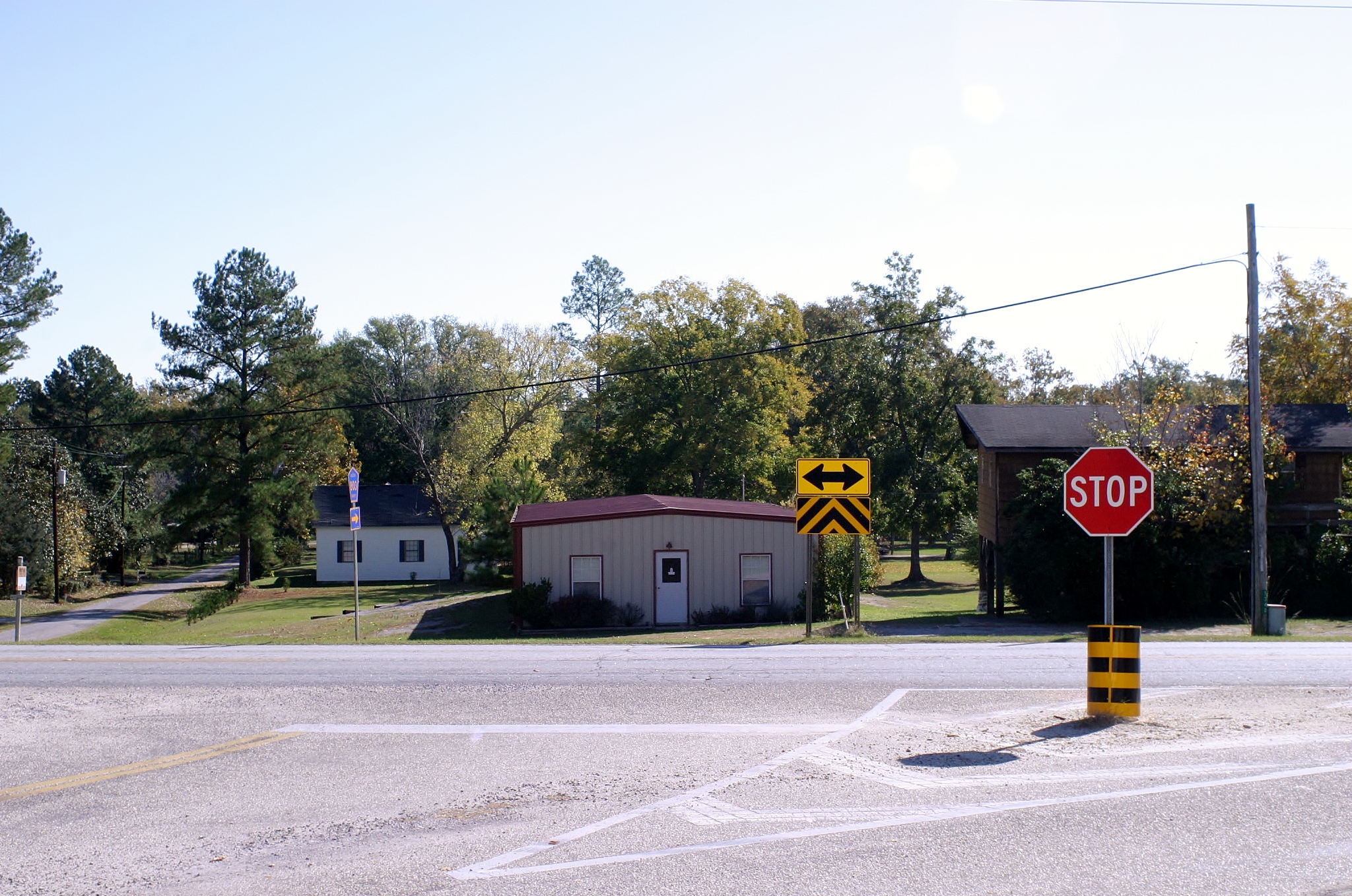
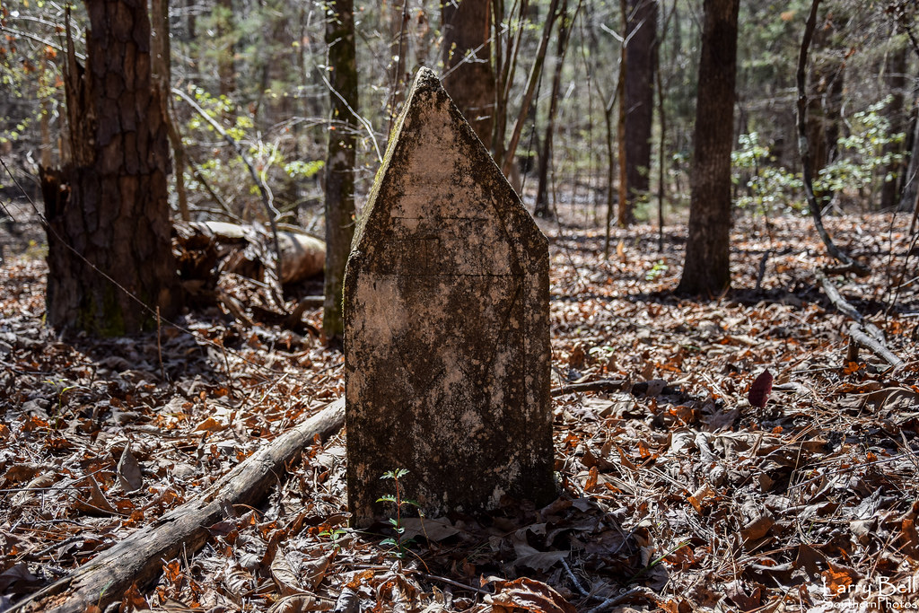
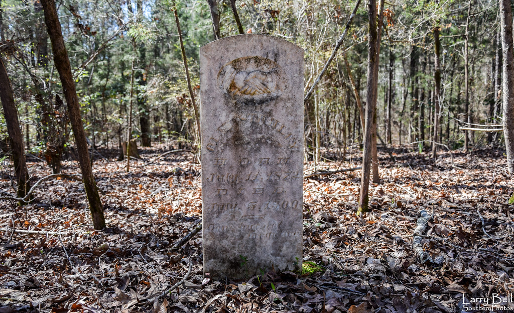
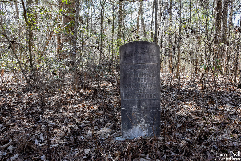
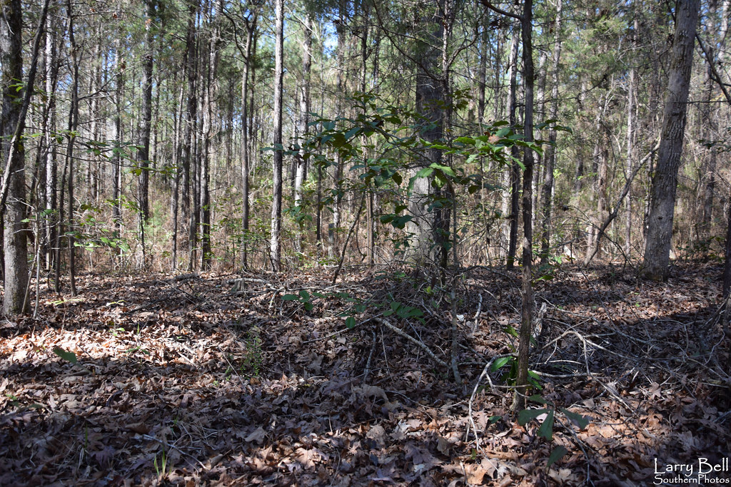
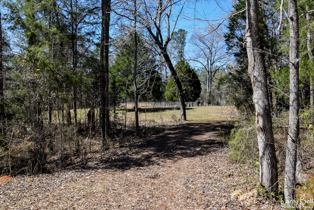
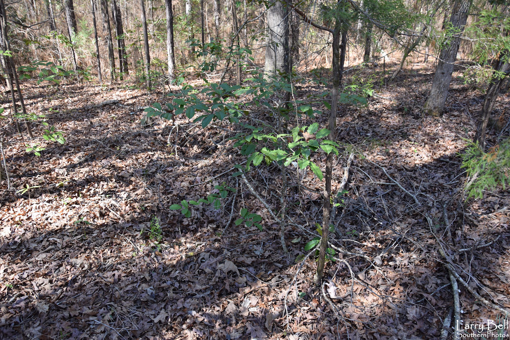
Related Photos:
Ebenezer Church Battlefied
DSC_0246.jpg

DSC_0248.jpg
DSC_0237.jpg
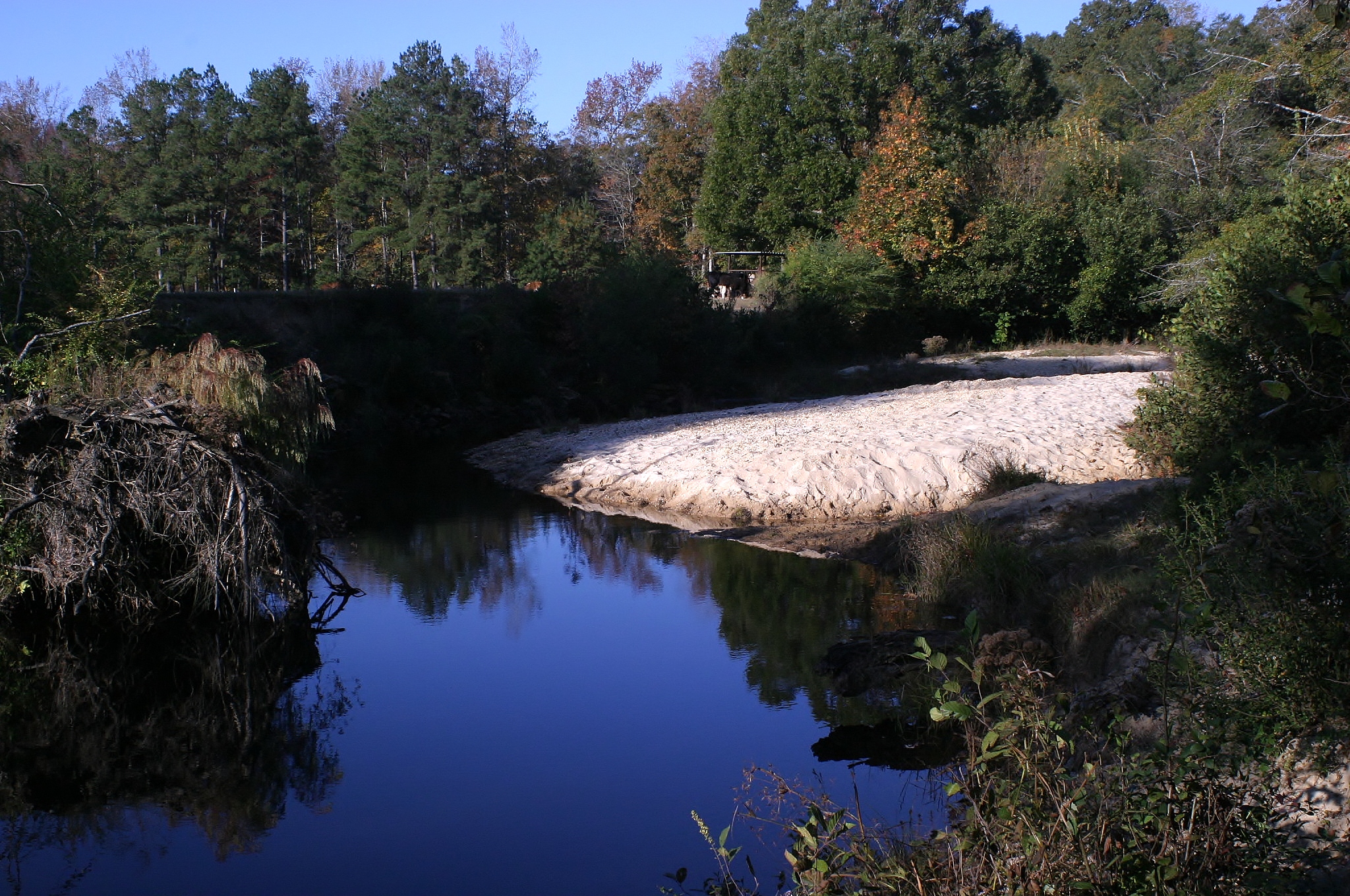
Bogler's Creek

DSC_0247.jpg

DSC_0232.jpg

DSC_0233.jpg
DSC_0227.jpg
DSC_0249.jpg
DSC_0221.jpg
DSC_0250.jpg
DSC_0226.jpg
Topographic Map of Mt Olive Church Rd, Centreville, AL, USA
Find elevation by address:

Places near Mt Olive Church Rd, Centreville, AL, USA:
Barnette Rd, Centreville, AL, USA
Co Rd 29, Lawley, AL, USA
Co Rd 49, Lawley, AL, USA
Lawley
Co Rd 51, Centreville, AL, USA
Sand Mountain
Maplesville
Centreville
Co Rd 47, Centreville, AL, USA
Oak St, Plantersville, AL, USA
Plantersville
Brent
Bibb County
Plantersville, AL, USA
Co Rd, Jones, AL, USA
AL-, Maplesville, AL, USA
Co Rd, Selma, AL, USA
Jones
Co Rd 22, Clanton, AL, USA
Co Rd 15, Maplesville, AL, USA
Recent Searches:
- Elevation of Congressional Dr, Stevensville, MD, USA
- Elevation of Bellview Rd, McLean, VA, USA
- Elevation of Stage Island Rd, Chatham, MA, USA
- Elevation of Shibuya Scramble Crossing, 21 Udagawacho, Shibuya City, Tokyo -, Japan
- Elevation of Jadagoniai, Kaunas District Municipality, Lithuania
- Elevation of Pagonija rock, Kranto 7-oji g. 8"N, Kaunas, Lithuania
- Elevation of Co Rd 87, Jamestown, CO, USA
- Elevation of Tenjo, Cundinamarca, Colombia
- Elevation of Côte-des-Neiges, Montreal, QC H4A 3J6, Canada
- Elevation of Bobcat Dr, Helena, MT, USA