Elevation of Plantersville, AL, USA
Location: United States > Alabama > Dallas County >
Longitude: -86.924433
Latitude: 32.6567975
Elevation: 75m / 246feet
Barometric Pressure: 100KPa
Elevation Map:
Satellite Map:
Related Photos:
Ebenezer Church Battlefied

back end of peach orchard
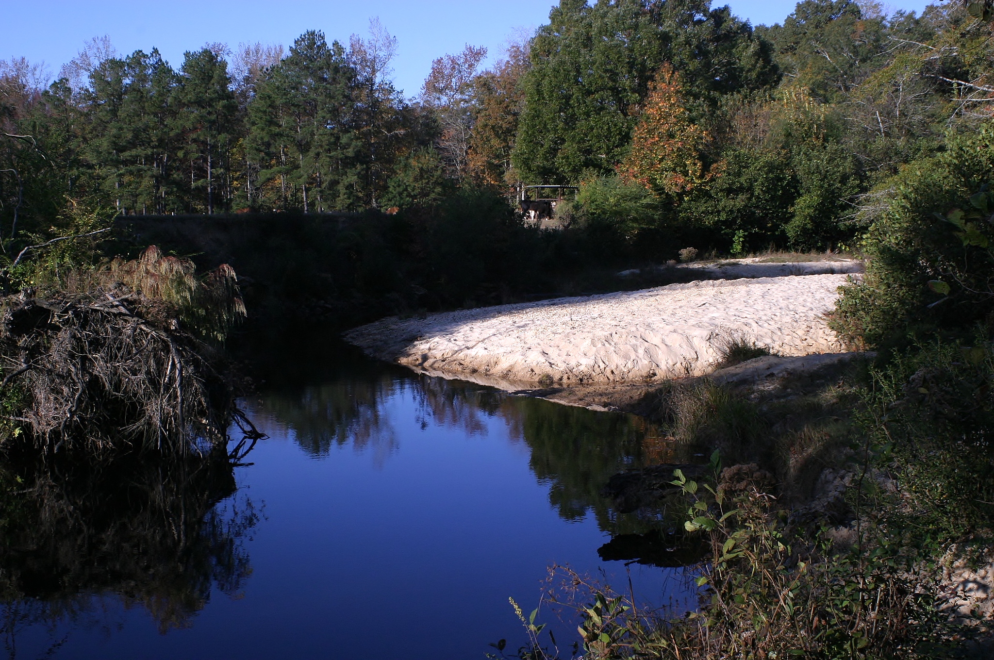
Bogler's Creek

dsc_2608-2

Grist Lake Selma Alabama
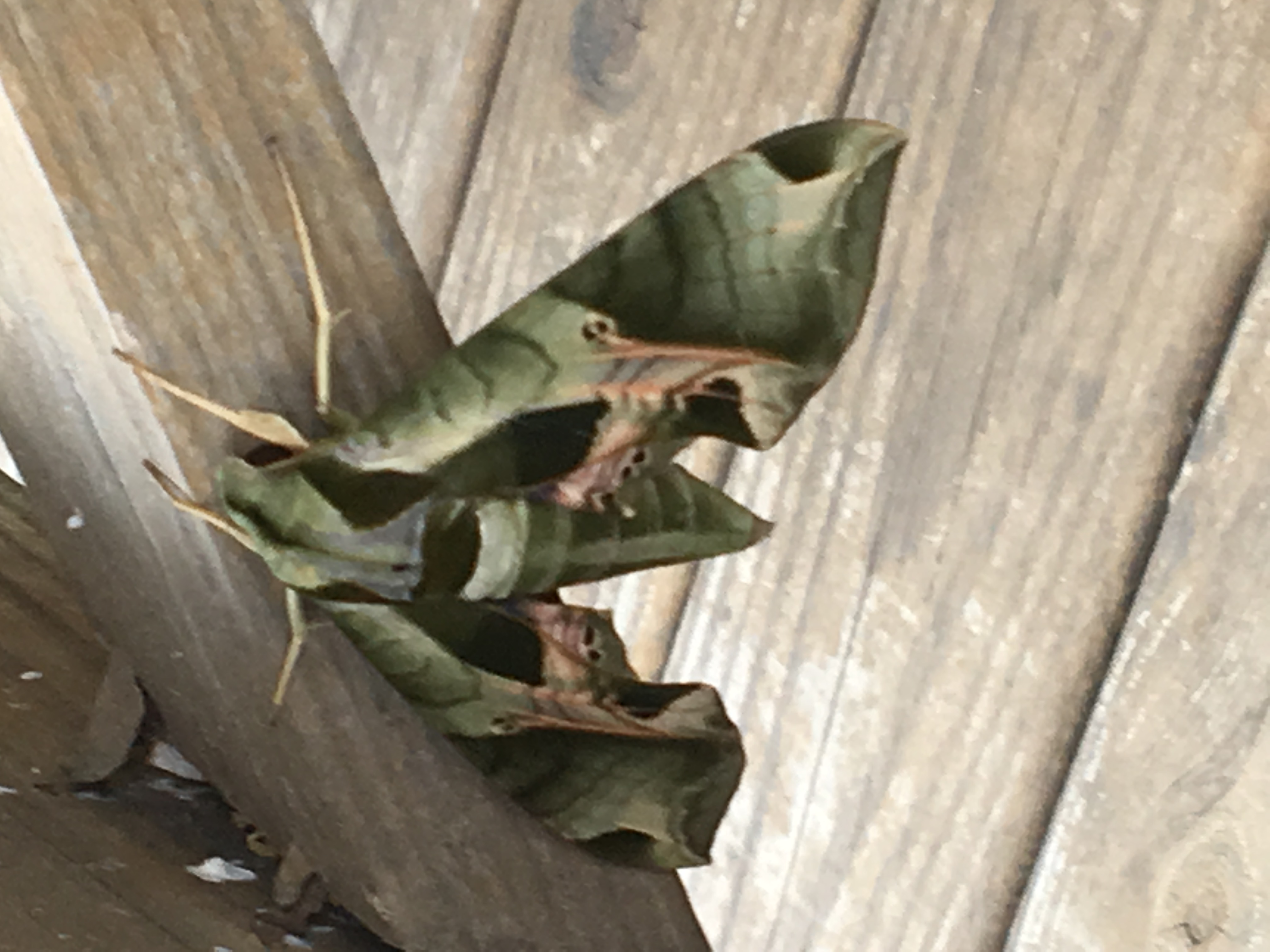
Camouflage Moth

Union Dead Memorial

Battle of Ebenezer Church
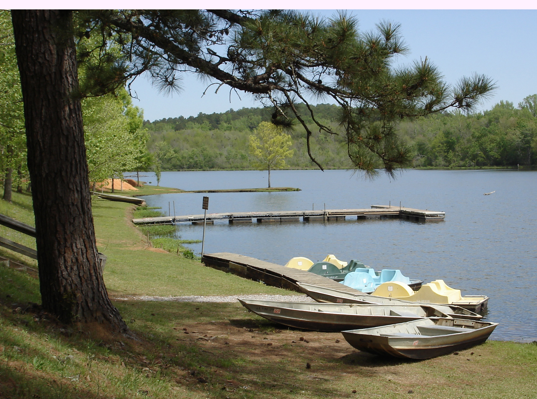
Paul Grist State Park

My ride or die!

Watching Katt Williams. Missing you.....

IMG_2472.JPG

IMG_2447.JPG

IMG_2441.JPG
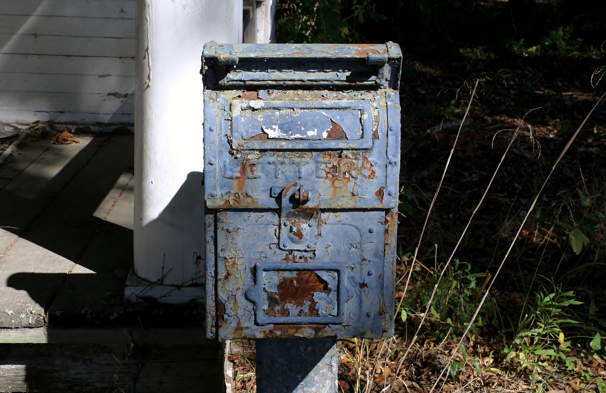
No Mail Today
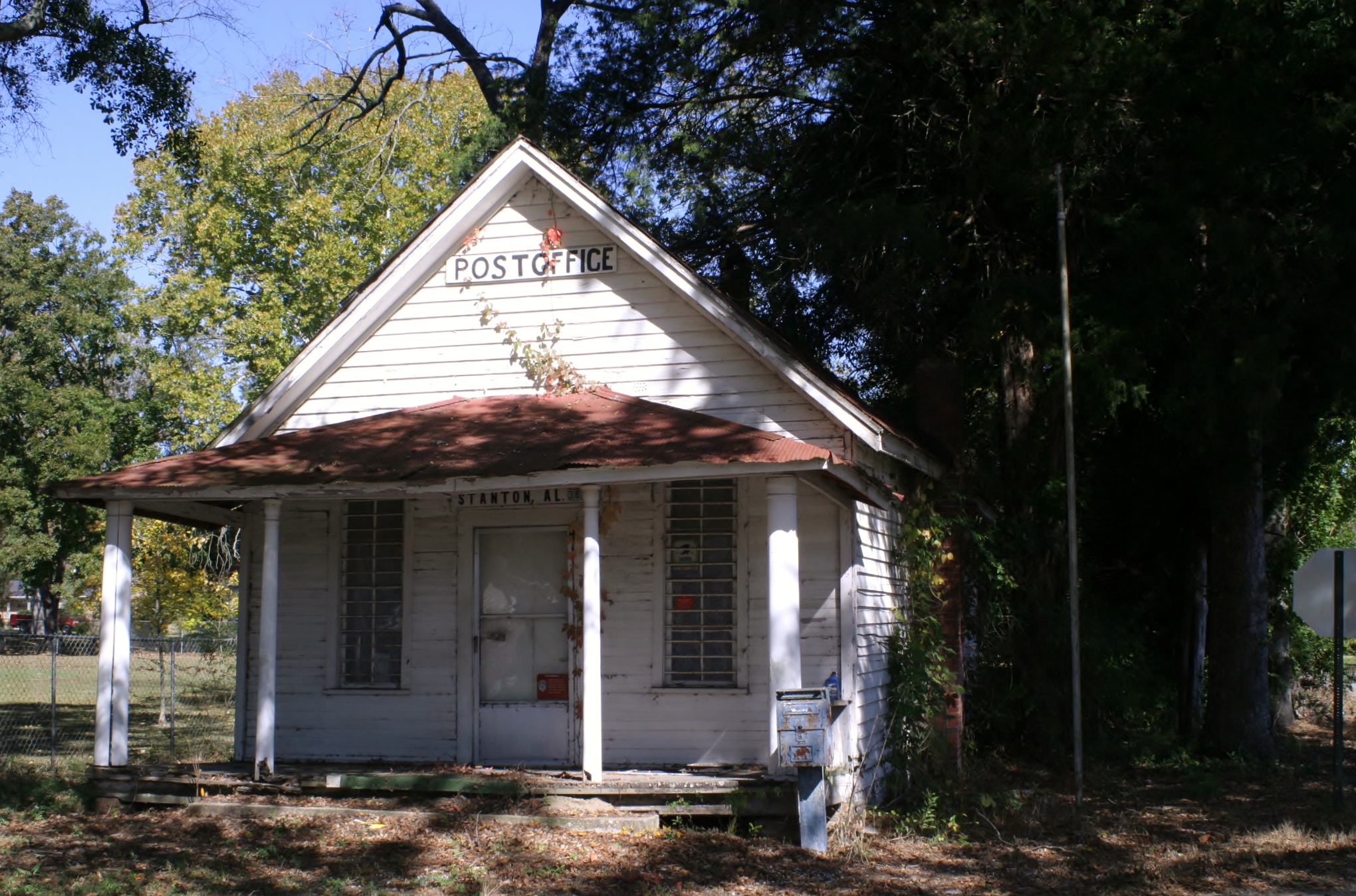
Old Stanton, AL Post Office
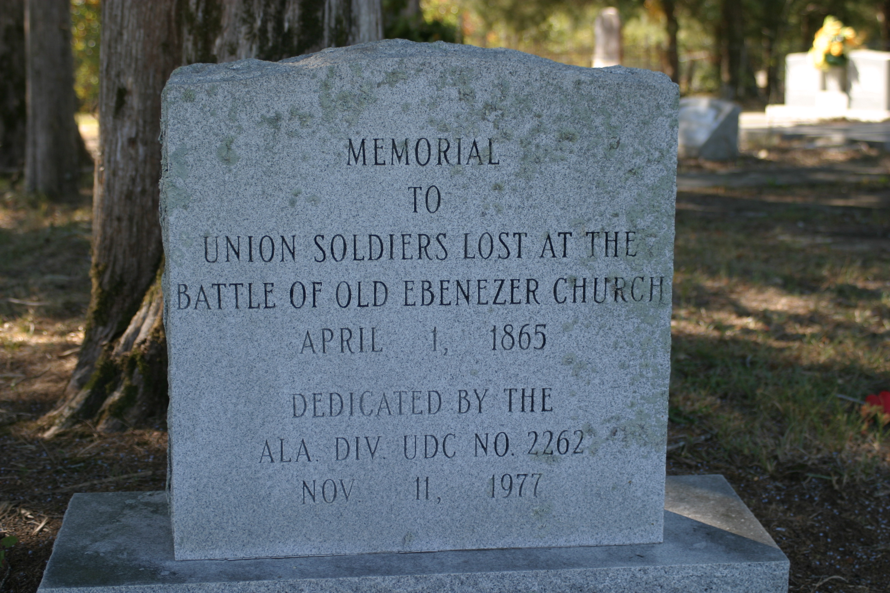
With the Union Dead
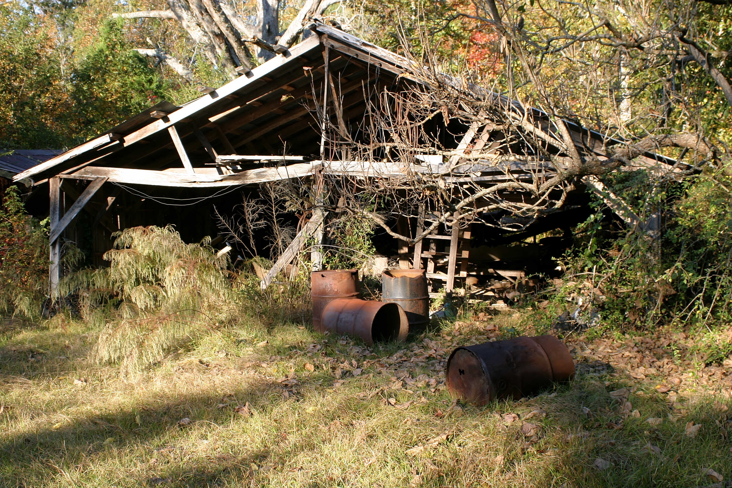
Daddy Buck's Shed
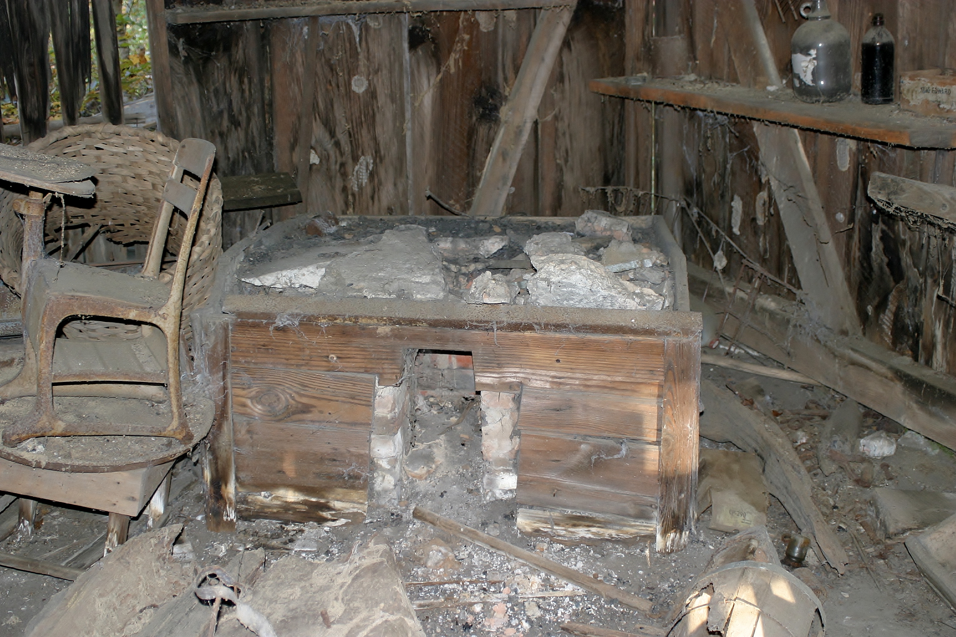
Blacksmith Forge

Fall in Alabama
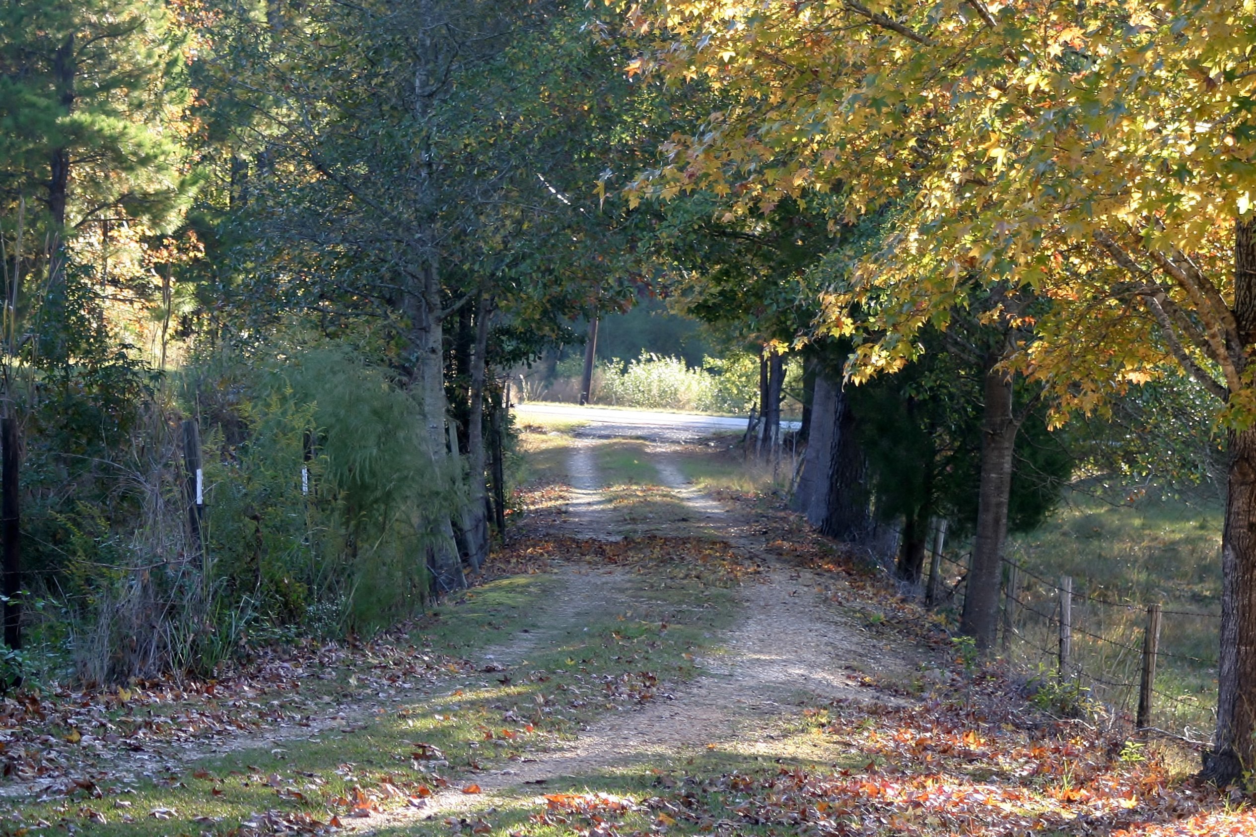
The Road Home
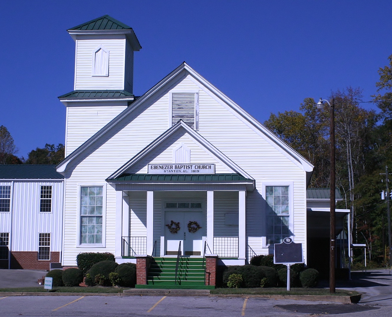
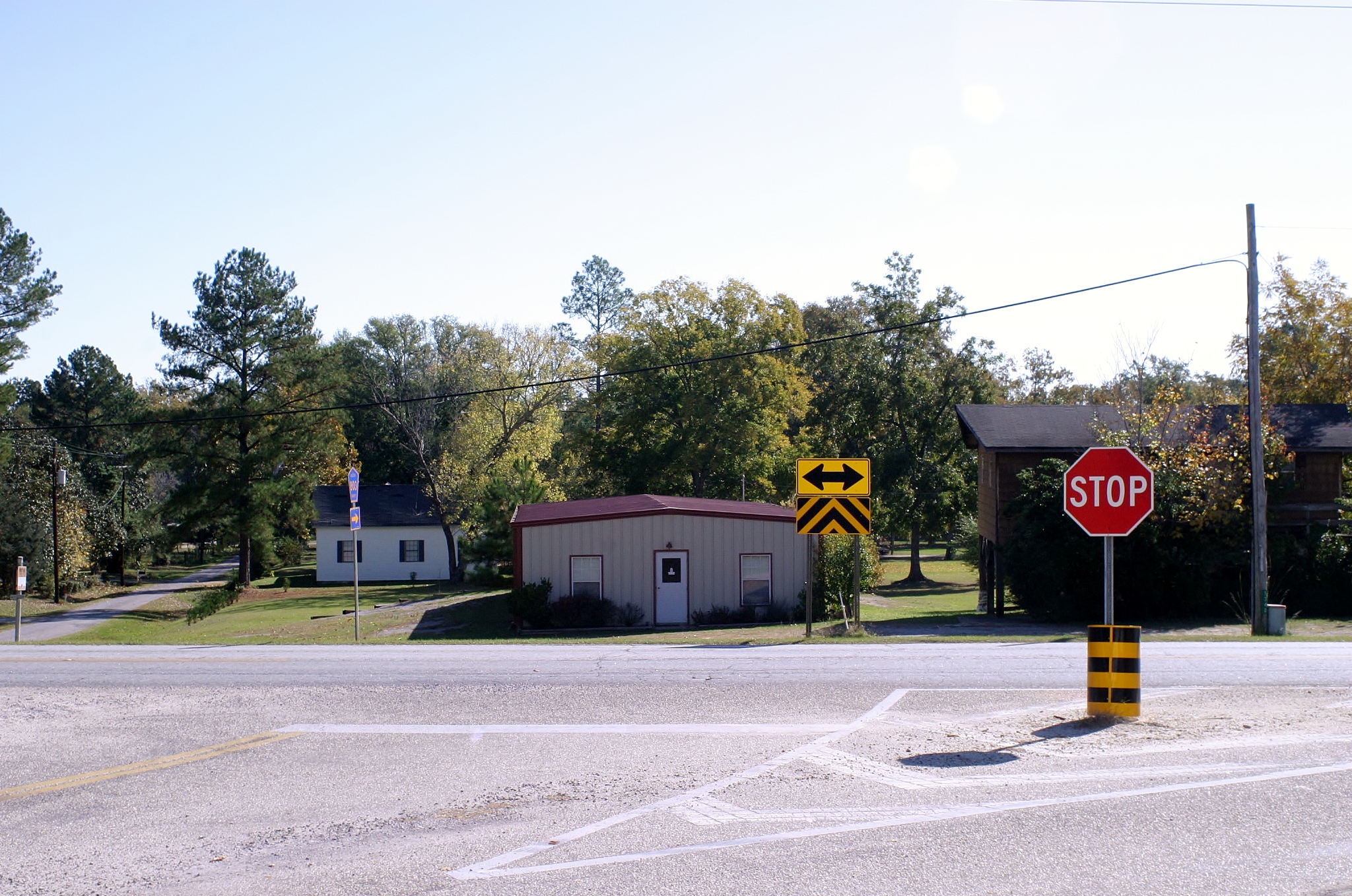
Ebenezer Church-Stanton, AL
Topographic Map of Plantersville, AL, USA
Find elevation by address:

Places in Plantersville, AL, USA:
Places near Plantersville, AL, USA:
Oak St, Plantersville, AL, USA
Co Rd, Jones, AL, USA
Plantersville, AL, USA
Jones
Co Rd 22, Clanton, AL, USA
Co Rd, Selma, AL, USA
Autauga County 88, Autaugaville, AL, USA
Maplesville
County Rd 1 N, Billingsley, AL, USA
Valley Grande
Co Rd 81, Valley Grande, AL, USA
Mt Olive Church Rd, Centreville, AL, USA
Sand Mountain
Lawley
Billingsley
County Rd 45 N, Autaugaville, AL, USA
Co Rd 29, Lawley, AL, USA
Co Rd 49, Lawley, AL, USA
Co Rd 15, Maplesville, AL, USA
11119 Co Rd 15
Recent Searches:
- Elevation of 3 Nestling Wood Dr, Long Valley, NJ, USA
- Elevation of Ilungu, Tanzania
- Elevation of Yellow Springs Road, Yellow Springs Rd, Chester Springs, PA, USA
- Elevation of Rēzekne Municipality, Latvia
- Elevation of Plikpūrmaļi, Vērēmi Parish, Rēzekne Municipality, LV-, Latvia
- Elevation of 2 Henschke Ct, Caboolture QLD, Australia
- Elevation of Redondo Ave, Long Beach, CA, USA
- Elevation of Sadovaya Ulitsa, 20, Rezh, Sverdlovskaya oblast', Russia
- Elevation of Ulitsa Kalinina, 79, Rezh, Sverdlovskaya oblast', Russia
- Elevation of 72-31 Metropolitan Ave, Middle Village, NY, USA