Elevation of A-L Peak, New Mexico, USA
Location: United States > New Mexico > Magdalena >
Longitude: -107.46281
Latitude: 33.9111742
Elevation: 2939m / 9642feet
Barometric Pressure: 71KPa
Elevation Map:
Satellite Map:
Related Photos:
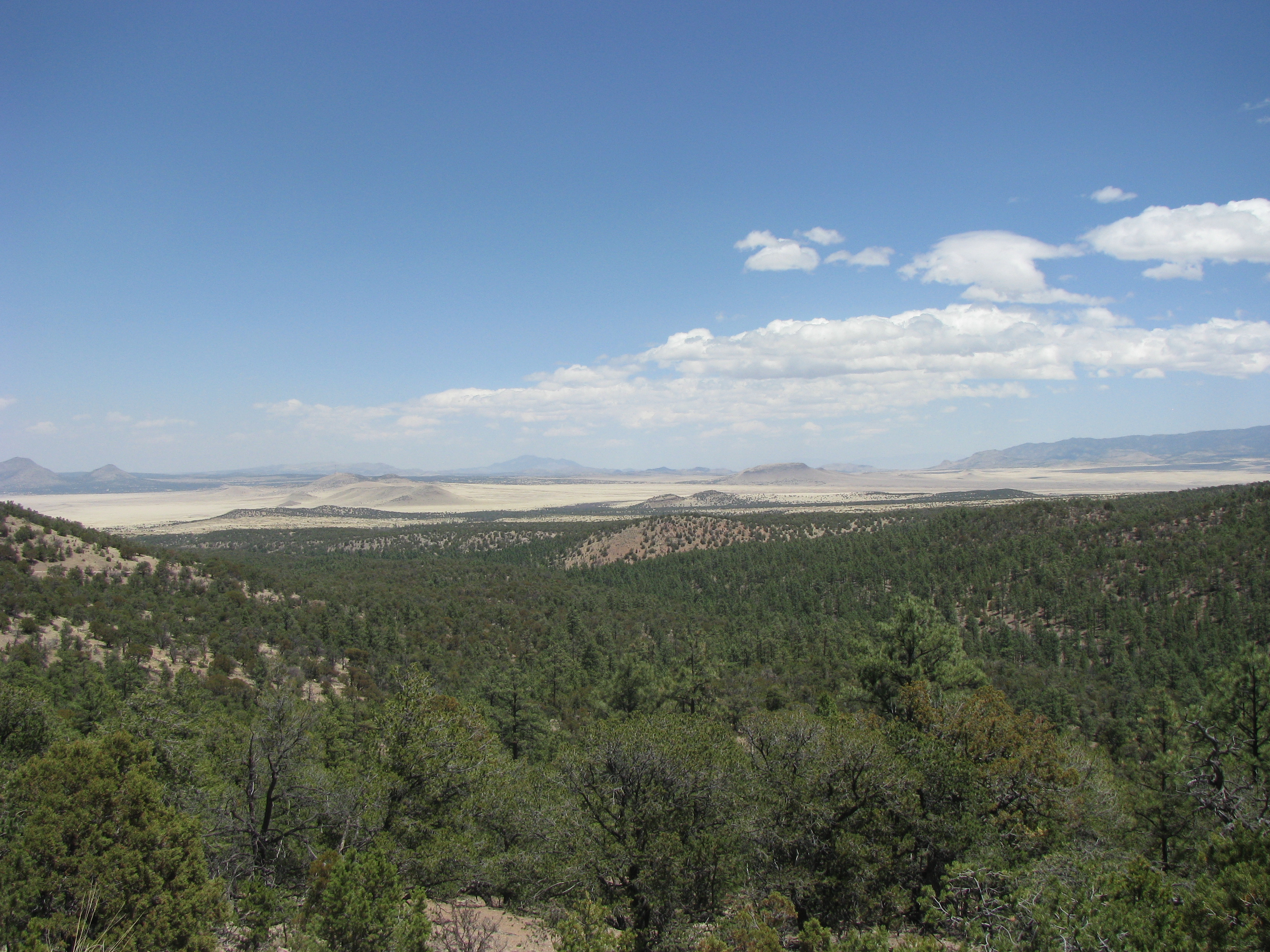
View from Magdalena Mountains
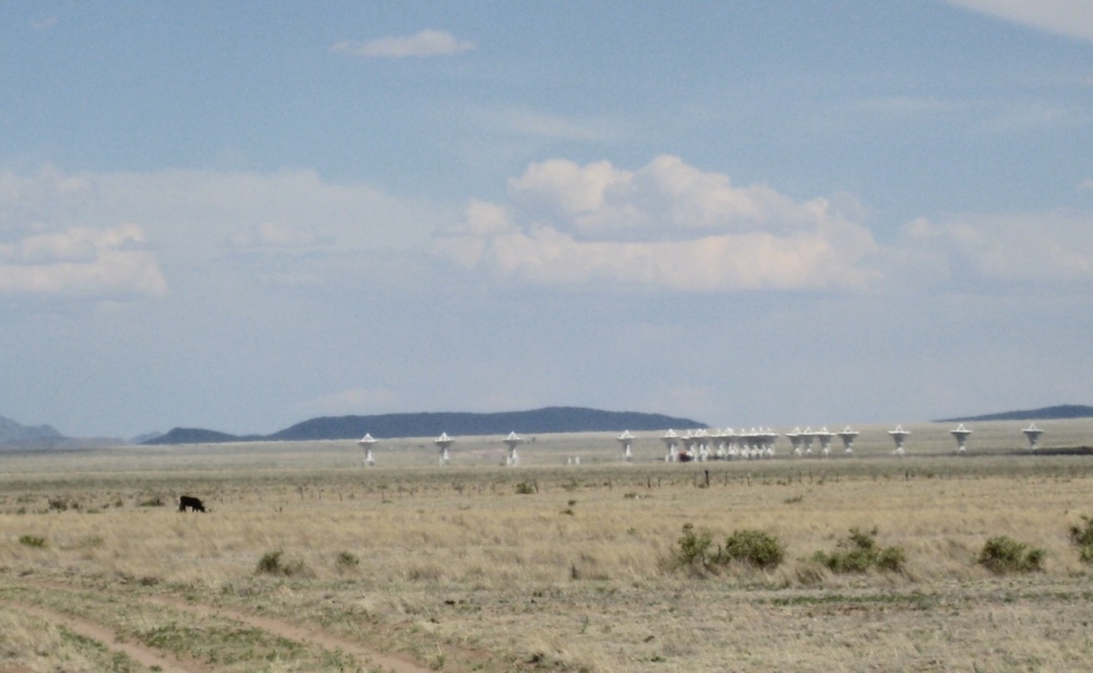
Very Large Array National Radio Astronomy Observatory 2347a
Topographic Map of A-L Peak, New Mexico, USA
Find elevation by address:

Places near A-L Peak, New Mexico, USA:
Mount Withington
East Bear Trap Campground
Cat Mountain
Bay Buck Peaks
Oak Peak
Remuda Trail, Magdalena, NM, USA
Concho Hills Guest Ranch
Very Large Array
12 Brahman Rd
Lion Mountain
New Mexico 107
South Baldy
903 Elm St
Magdalena
Timber Peak
Italian Peak
North Baldy
Buck Peak
Water Canyon Campground
Indian Mesa
Recent Searches:
- Elevation of Corso Fratelli Cairoli, 35, Macerata MC, Italy
- Elevation of Tallevast Rd, Sarasota, FL, USA
- Elevation of 4th St E, Sonoma, CA, USA
- Elevation of Black Hollow Rd, Pennsdale, PA, USA
- Elevation of Oakland Ave, Williamsport, PA, USA
- Elevation of Pedrógão Grande, Portugal
- Elevation of Klee Dr, Martinsburg, WV, USA
- Elevation of Via Roma, Pieranica CR, Italy
- Elevation of Tavkvetili Mountain, Georgia
- Elevation of Hartfords Bluff Cir, Mt Pleasant, SC, USA