Elevation of Remuda Trail, Magdalena, NM, USA
Location: United States > New Mexico > Magdalena >
Longitude: -107.67000
Latitude: 33.9255271
Elevation: 2261m / 7418feet
Barometric Pressure: 77KPa
Elevation Map:
Satellite Map:
Related Photos:
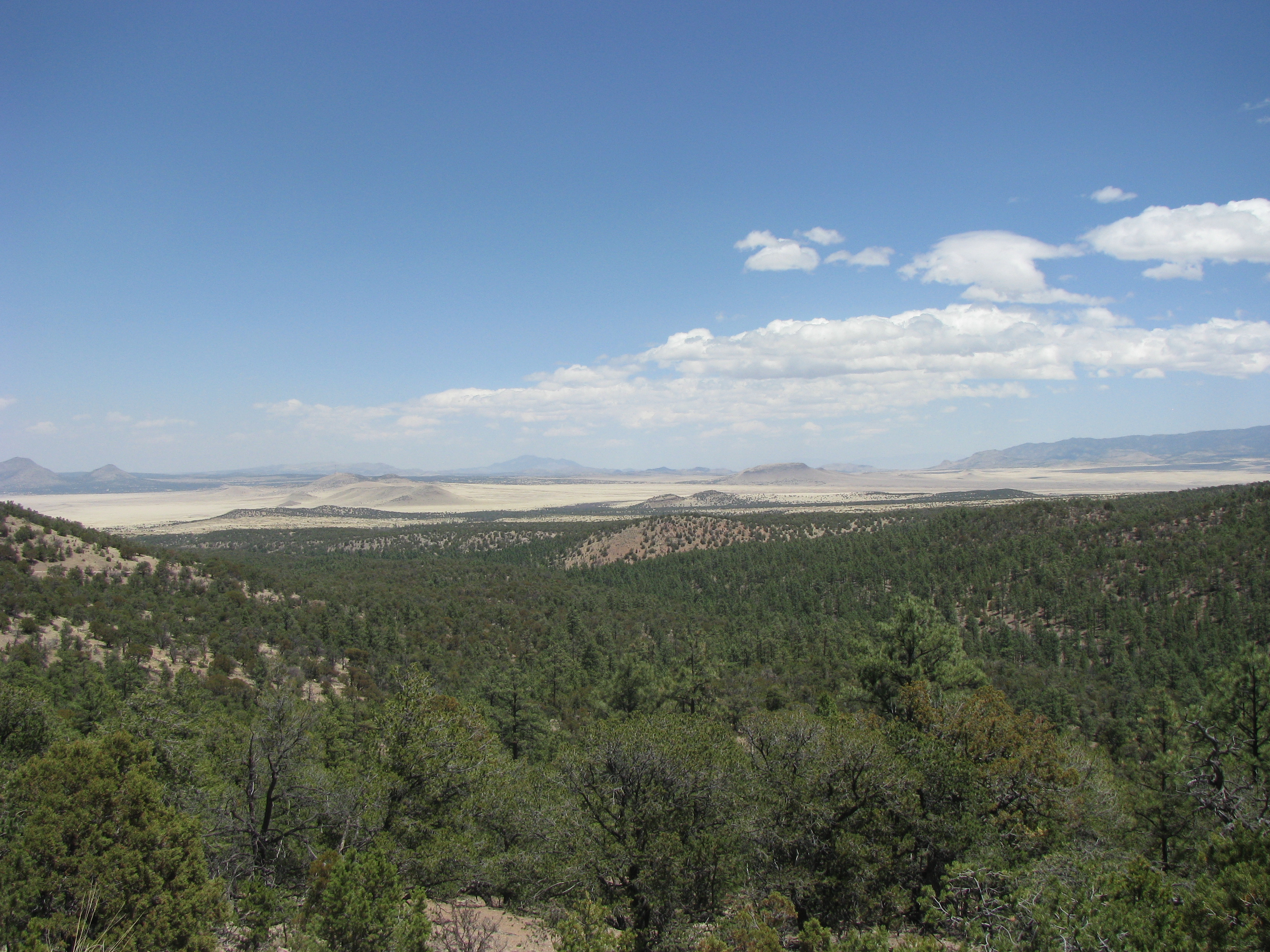
View from Magdalena Mountains

Smoky Skies Starry Night
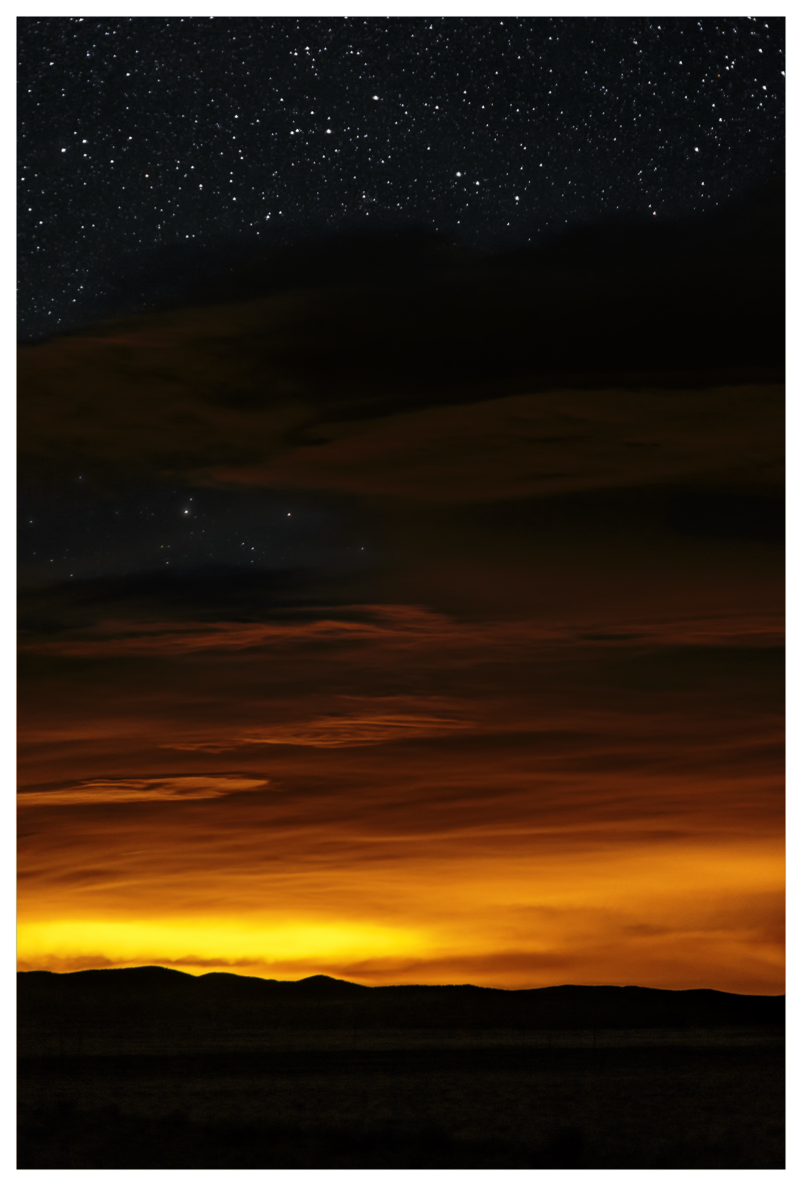
Smoky Skies Starry Night 2
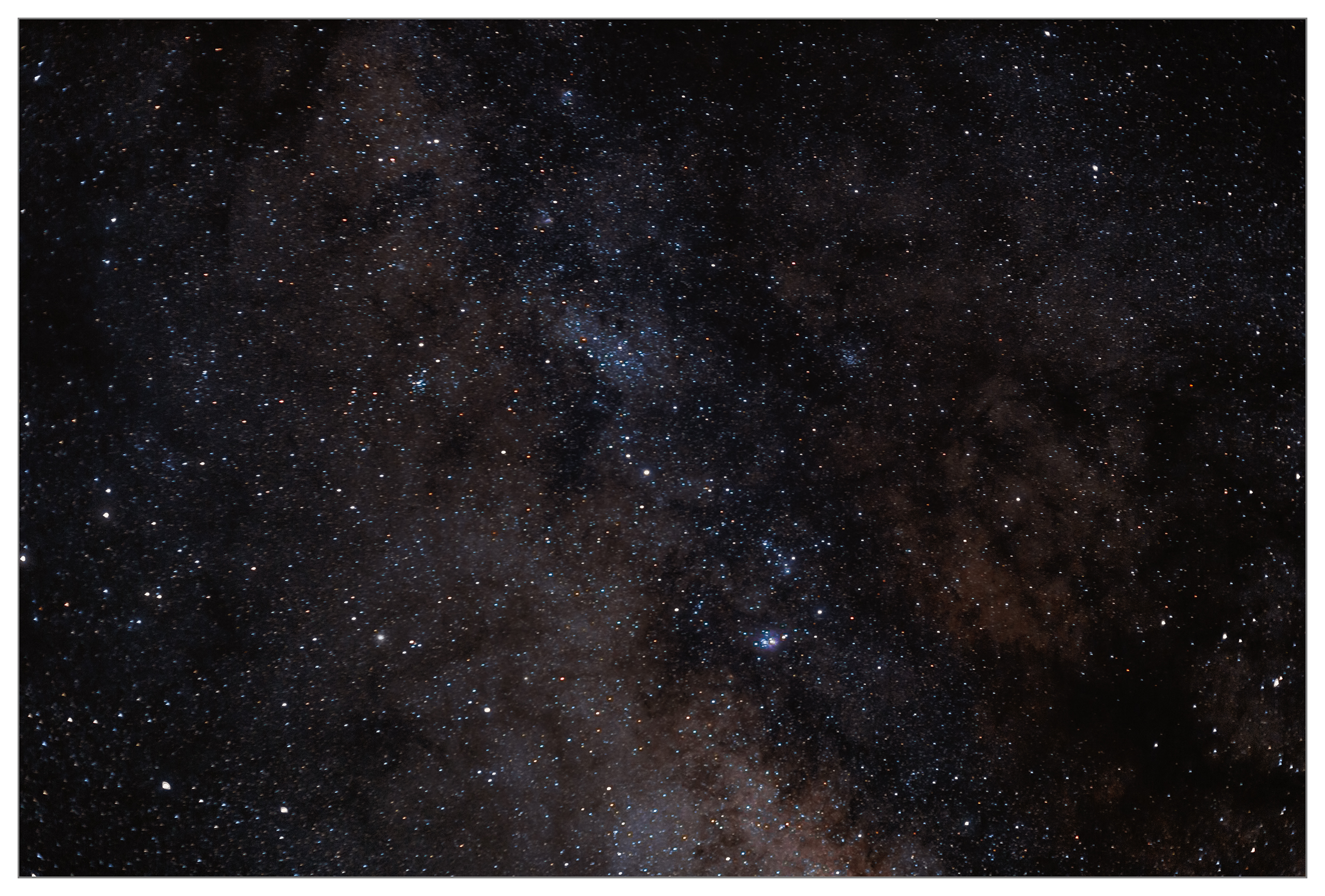
Milky Way stars
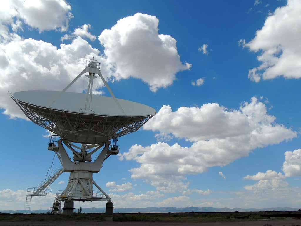
July 2012 Vacation - Very Large Array (VLA)
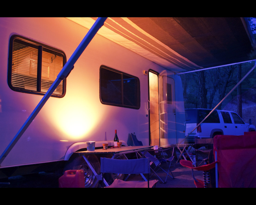
Camp Site by Candle Light
Topographic Map of Remuda Trail, Magdalena, NM, USA
Find elevation by address:

Places near Remuda Trail, Magdalena, NM, USA:
Concho Hills Guest Ranch
Oak Peak
East Bear Trap Campground
Very Large Array
Mount Withington
Bay Buck Peaks
A-l Peak
Datil
Lion Mountain
Fawn Circle
Datil Well Campground
Cat Mountain
Anderson Mountain
East Sugarloaf Mountain
Jackrabbit Run
Sugarloaf Mountain
Crosby Mountains Hp
Indian Mesa
12 Brahman Rd
End-o-trail
Recent Searches:
- Elevation of Corso Fratelli Cairoli, 35, Macerata MC, Italy
- Elevation of Tallevast Rd, Sarasota, FL, USA
- Elevation of 4th St E, Sonoma, CA, USA
- Elevation of Black Hollow Rd, Pennsdale, PA, USA
- Elevation of Oakland Ave, Williamsport, PA, USA
- Elevation of Pedrógão Grande, Portugal
- Elevation of Klee Dr, Martinsburg, WV, USA
- Elevation of Via Roma, Pieranica CR, Italy
- Elevation of Tavkvetili Mountain, Georgia
- Elevation of Hartfords Bluff Cir, Mt Pleasant, SC, USA