Elevation of South Baldy, New Mexico, USA
Location: United States > New Mexico > Magdalena >
Longitude: -107.18753
Latitude: 33.9908979
Elevation: 3243m / 10640feet
Barometric Pressure: 68KPa
Elevation Map:
Satellite Map:
Related Photos:
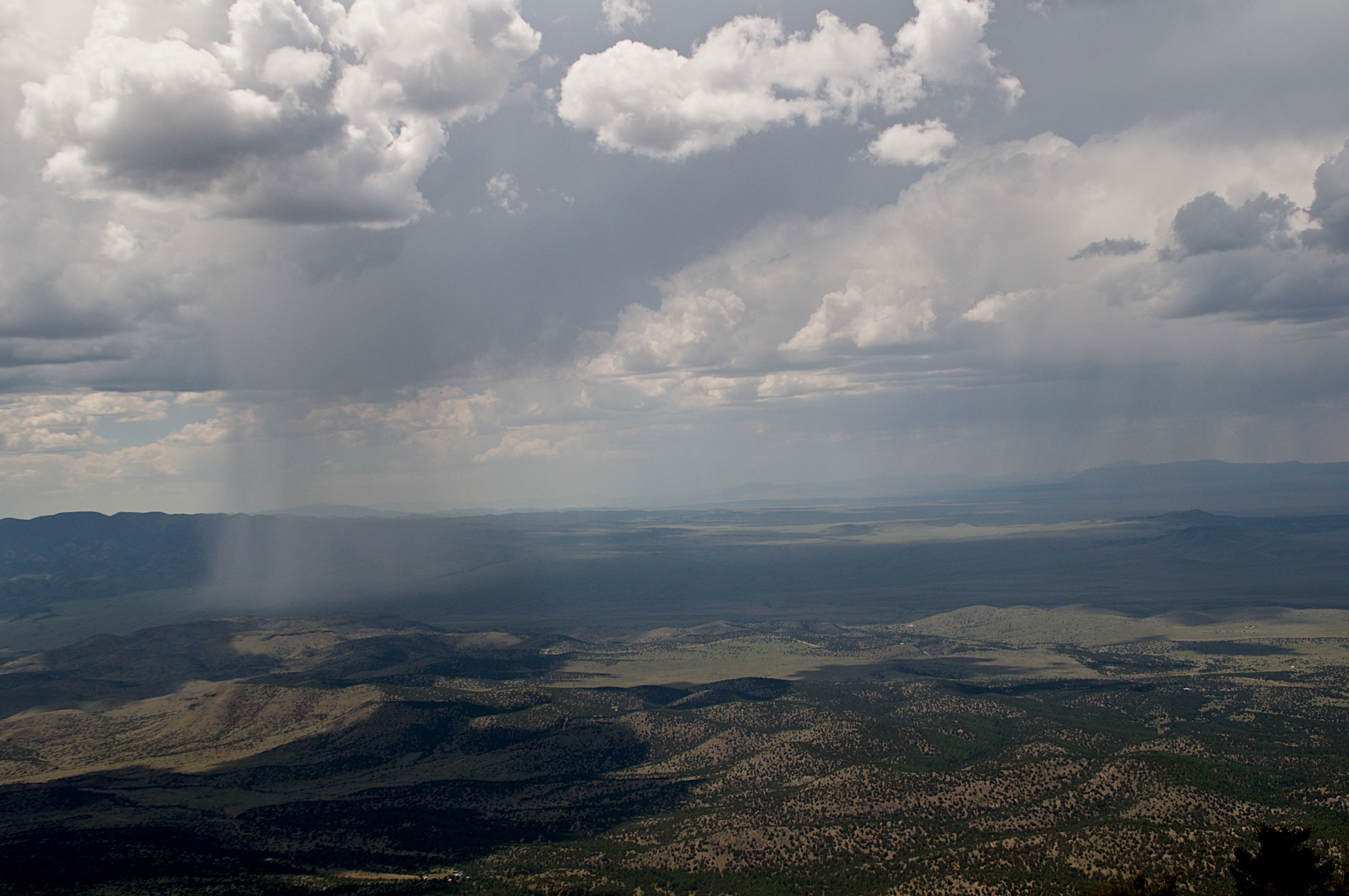
View from Magdalena Ridge Observatory
Topographic Map of South Baldy, New Mexico, USA
Find elevation by address:

Places near South Baldy, New Mexico, USA:
Timber Peak
Buck Peak
North Baldy
Water Canyon Campground
Italian Peak
903 Elm St
New Mexico 107
Magdalena
12 Brahman Rd
Cat Mountain
A-l Peak
122 Mustang Dr
Socorro
Escondida
Bear Mountains Hp
Mount Withington
Lemitar
Polvadera
East Bear Trap Campground
Bosque Del Apache National Wildlife Refuge Visitor Center
Recent Searches:
- Elevation of Corso Fratelli Cairoli, 35, Macerata MC, Italy
- Elevation of Tallevast Rd, Sarasota, FL, USA
- Elevation of 4th St E, Sonoma, CA, USA
- Elevation of Black Hollow Rd, Pennsdale, PA, USA
- Elevation of Oakland Ave, Williamsport, PA, USA
- Elevation of Pedrógão Grande, Portugal
- Elevation of Klee Dr, Martinsburg, WV, USA
- Elevation of Via Roma, Pieranica CR, Italy
- Elevation of Tavkvetili Mountain, Georgia
- Elevation of Hartfords Bluff Cir, Mt Pleasant, SC, USA