Elevation of - Juniper Ln, Susanville, CA, USA
Location: United States > California > Susanville >
Longitude: -120.73256
Latitude: 40.7036691
Elevation: 1565m / 5134feet
Barometric Pressure: 84KPa
Elevation Map:
Satellite Map:
Related Photos:

The once crystal clear waters of Eagle Lake in Northern California now a mucky green.

_IGP9693.PEF Eagle Lake Hwy

Eagle lake in morning haze

Eagle Lake, CA (1054)

eagle lake, california

816_0091 JM Right

814_0088 JM Right

805_1249.NEF

805_1248.NEF

Eagle Lake June 2013

Eagle Lake - Early morning fishing

Fishing on Eagle Lake
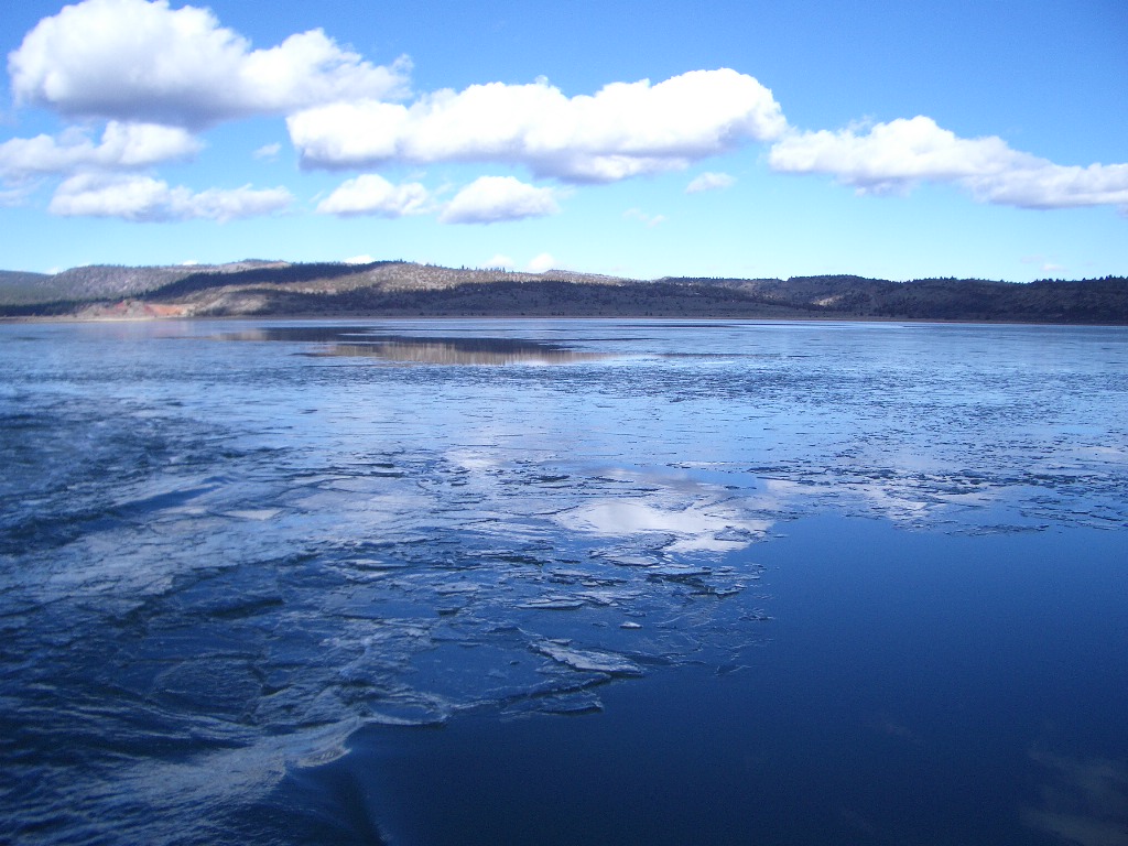
Thats ICE
Topographic Map of - Juniper Ln, Susanville, CA, USA
Find elevation by address:

Places near - Juniper Ln, Susanville, CA, USA:
509-80
692-500 Lahonton Heights Dr
Eagle Lake
Fredonyer Peak
Lassen County
Susanville
Roop Mountain
696725 Peak Rd
691-135 Las Plumas Way
Lassen Way
478-130 Lake Forest Dr
Estates Drive
Susanville
2301 Main St
472-950
699-500 Oak Mountain Dr
699-740 Old Archery Rd
705-210 Indale Dr
710-205
480-250
Recent Searches:
- Elevation of Congressional Dr, Stevensville, MD, USA
- Elevation of Bellview Rd, McLean, VA, USA
- Elevation of Stage Island Rd, Chatham, MA, USA
- Elevation of Shibuya Scramble Crossing, 21 Udagawacho, Shibuya City, Tokyo -, Japan
- Elevation of Jadagoniai, Kaunas District Municipality, Lithuania
- Elevation of Pagonija rock, Kranto 7-oji g. 8"N, Kaunas, Lithuania
- Elevation of Co Rd 87, Jamestown, CO, USA
- Elevation of Tenjo, Cundinamarca, Colombia
- Elevation of Côte-des-Neiges, Montreal, QC H4A 3J6, Canada
- Elevation of Bobcat Dr, Helena, MT, USA