Elevation map of Lassen County, CA, USA
Location: United States > California >
Longitude: -120.71200
Latitude: 40.5394389
Elevation: 1827m / 5994feet
Barometric Pressure: 81KPa
Elevation Map:
Satellite Map:
Related Photos:

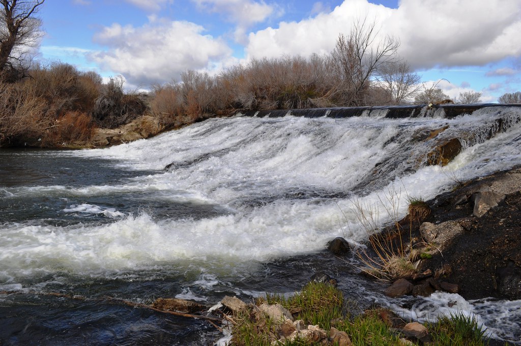
Piute Creek

Along the Susan River

A promise of jewels

Afdaling naar Susanville

2013-04-06 (5)
2013-04-06 (8)

California - Heading to Susanville - June 1975

Eagle Lake June 2013
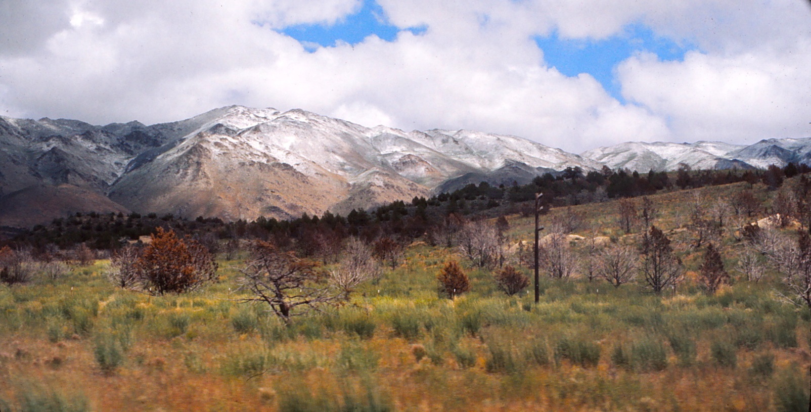
California - Heading to Susanville - June 1975

Timber barn that was

Sucks to be a timber worker

Tree in a wintry flat

High desert winter

Early morning on Eagle Lake

Early morning on Eagle Lake

Early morning on Eagle Lake

Eagle Lake Sunset

Early morning sunrise on Eagle Lake

Eagle Lake Sunset

Early morning sunrise on Eagle Lake

Early morning sunrise on Eagle Lake

Early morning on Eagle Lake

Early morning sunrise on Eagle Lake
Topographic Map of Lassen County, CA, USA
Find elevation by address:

Places in Lassen County, CA, USA:
Places near Lassen County, CA, USA:
Susanville
696725 Peak Rd
691-135 Las Plumas Way
Lassen Way
478-130 Lake Forest Dr
Estates Drive
Eagle Lake
Roop Mountain
Susanville
2301 Main St
507-720 Juniper Ln
509-80
692-500 Lahonton Heights Dr
Fredonyer Peak
699-500 Oak Mountain Dr
699-740 Old Archery Rd
472-950
705-210 Indale Dr
Diamond Mountain
710-205
Recent Searches:
- Elevation of Corso Fratelli Cairoli, 35, Macerata MC, Italy
- Elevation of Tallevast Rd, Sarasota, FL, USA
- Elevation of 4th St E, Sonoma, CA, USA
- Elevation of Black Hollow Rd, Pennsdale, PA, USA
- Elevation of Oakland Ave, Williamsport, PA, USA
- Elevation of Pedrógão Grande, Portugal
- Elevation of Klee Dr, Martinsburg, WV, USA
- Elevation of Via Roma, Pieranica CR, Italy
- Elevation of Tavkvetili Mountain, Georgia
- Elevation of Hartfords Bluff Cir, Mt Pleasant, SC, USA