Elevation of - Hinds Dr, McArthur, CA, USA
Location: United States > California > Shasta County > Mcarthur >
Longitude: -121.17842
Latitude: 40.89385
Elevation: 1281m / 4203feet
Barometric Pressure: 87KPa
Elevation Map:
Satellite Map:
Related Photos:
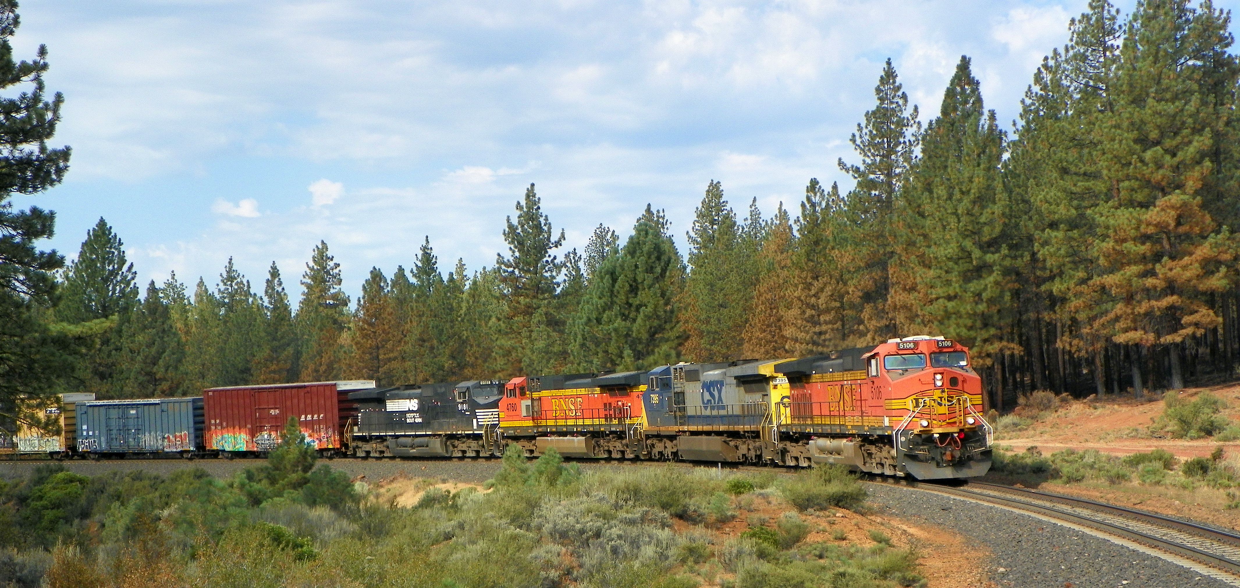
BNSF 5106, MP 122.5, NB, GATEWAY SUB, CA 8-10-14

_7150026.NEF

_2240018.NEF

DSC_0023.jpg

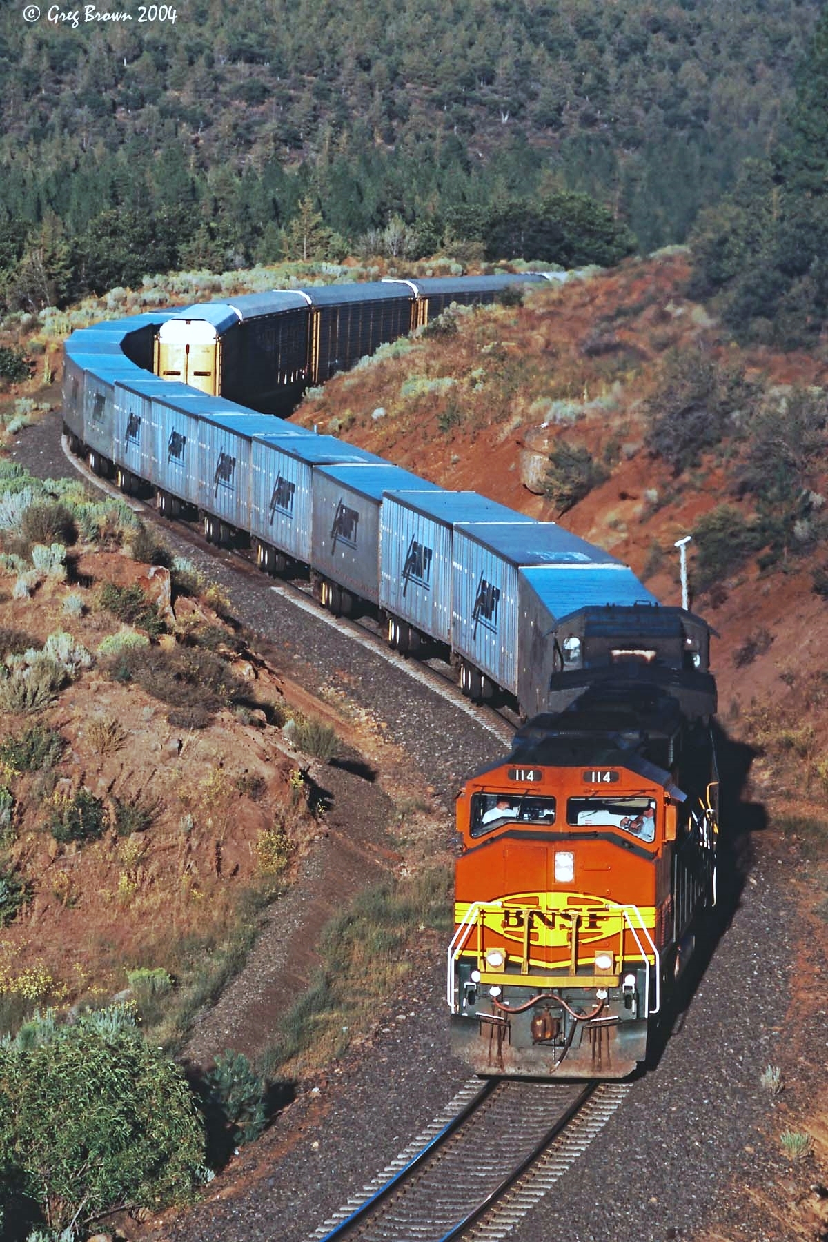
Big Train at Little Valley
Last Revenue RoadRailer

_8210066.NEF

BNSF 752, MP 122.5, SB, GATEWAY SUB, CA 8-8-14
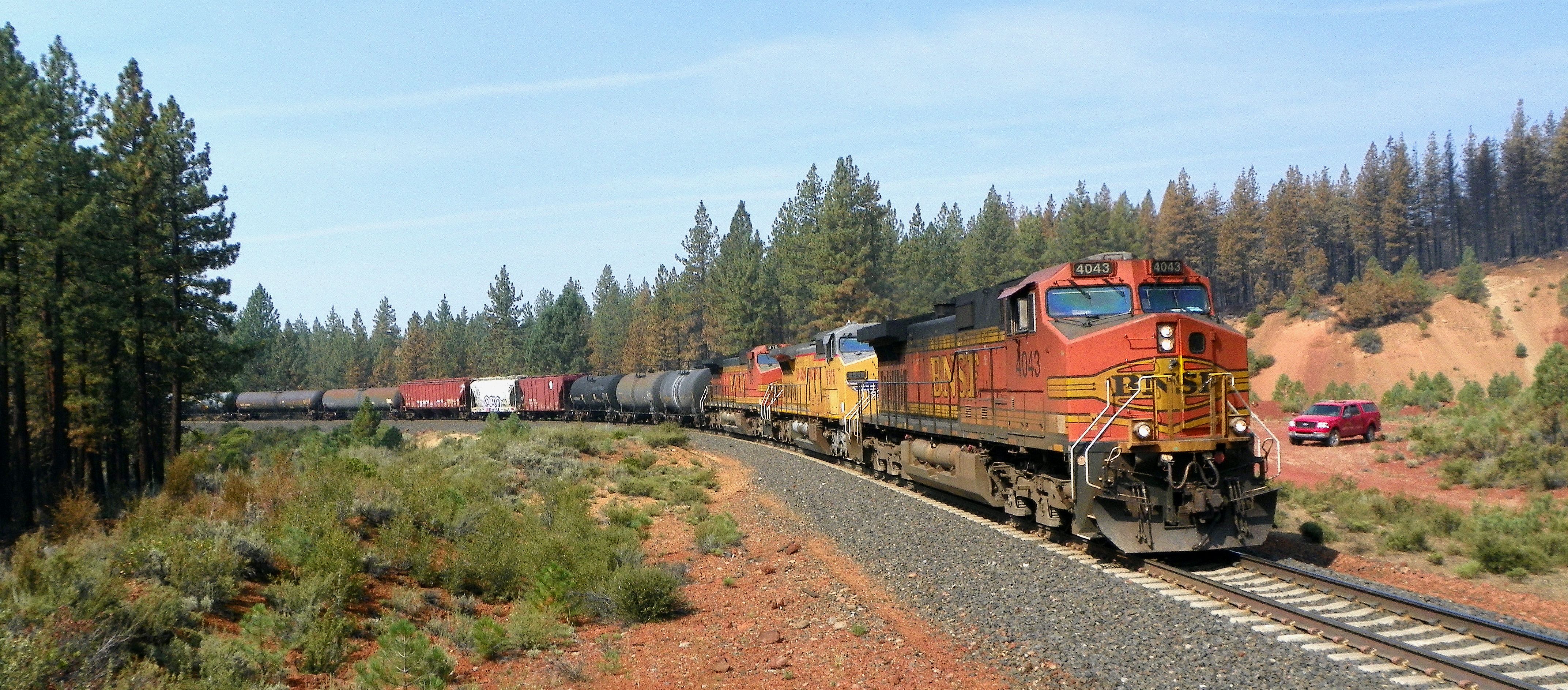
BNSF 4043, MP 122.5, NB, GATEWAY SUB, CA 8-8-14
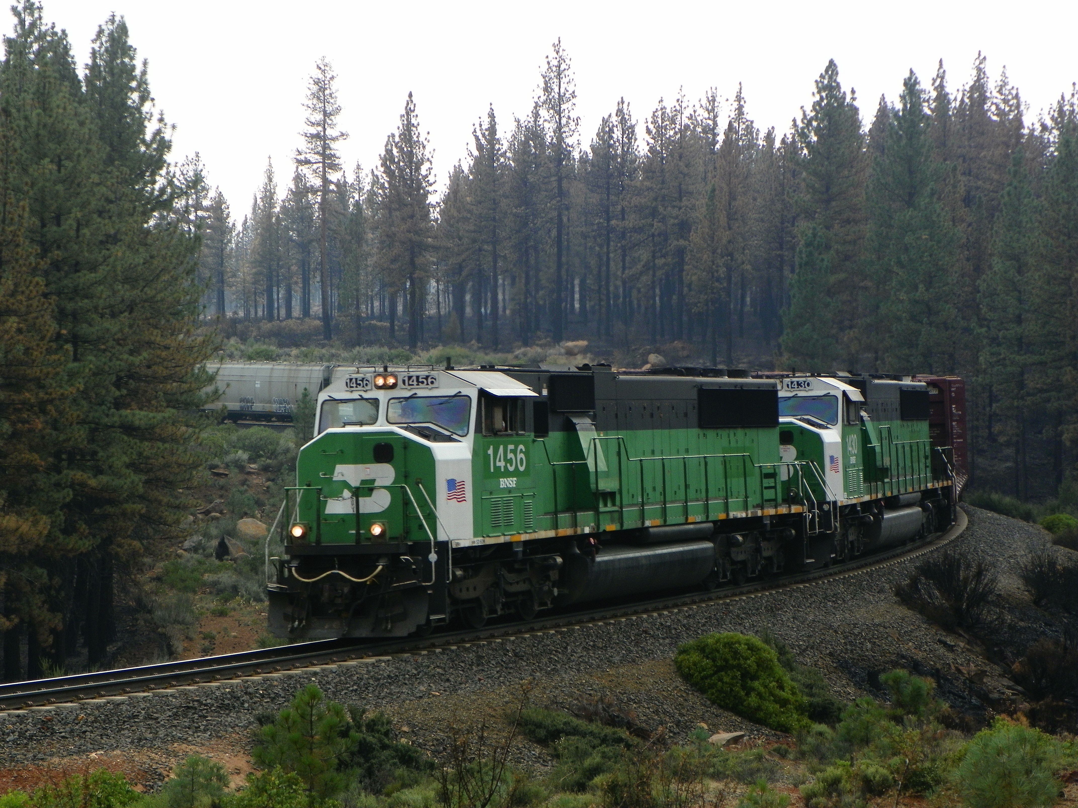
BNSF 1456, MP 122.5, NB, GATEWAY SUB, CA, 8-8-14
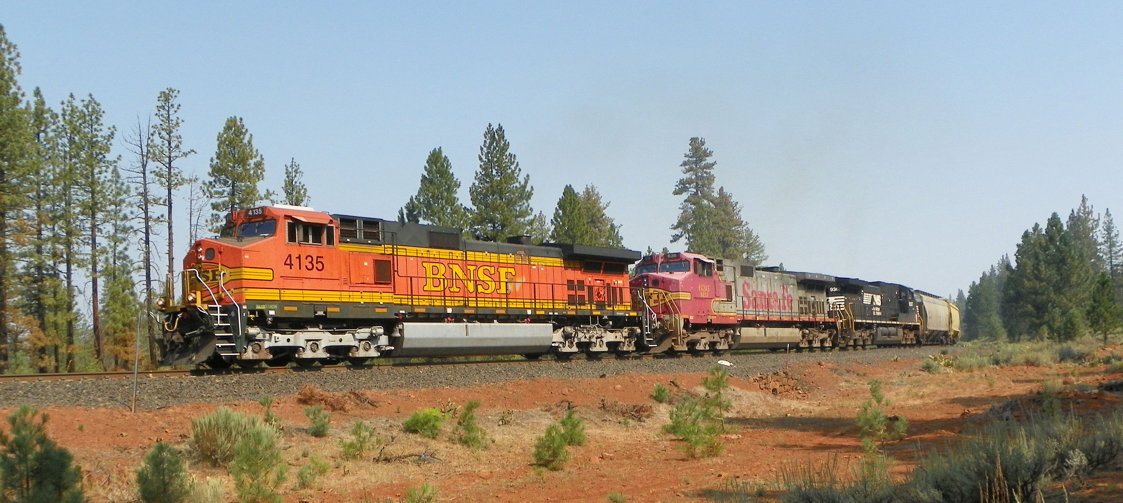
BNSF 4135, MP 121, SB, GATEWAY SUB, CA. 8-7-14

Eagle Lake
Topographic Map of - Hinds Dr, McArthur, CA, USA
Find elevation by address:

Places near - Hinds Dr, McArthur, CA, USA:
652-890
545 Templehof Ln
Pittville Rd, McArthur, CA, USA
Bieber
Bridge St, Bieber, CA, USA
Mcarthur
665-275
CA-, Fall River Mills, CA, USA
Fall River Mills
665-750
Doty Rd, Hat Creek, CA, USA
Hat Creek
18320 Ca-89
Volcano Lane
Ahjumawi Lava Springs State Park
Day Rd, McArthur, CA, USA
Cassel
Adin
101 Willow St
Thrush Road
Recent Searches:
- Elevation of Corso Fratelli Cairoli, 35, Macerata MC, Italy
- Elevation of Tallevast Rd, Sarasota, FL, USA
- Elevation of 4th St E, Sonoma, CA, USA
- Elevation of Black Hollow Rd, Pennsdale, PA, USA
- Elevation of Oakland Ave, Williamsport, PA, USA
- Elevation of Pedrógão Grande, Portugal
- Elevation of Klee Dr, Martinsburg, WV, USA
- Elevation of Via Roma, Pieranica CR, Italy
- Elevation of Tavkvetili Mountain, Georgia
- Elevation of Hartfords Bluff Cir, Mt Pleasant, SC, USA