Elevation of CA-, Fall River Mills, CA, USA
Location: United States > California > Shasta County > Fall River Mills >
Longitude: -121.43758
Latitude: 41.004838
Elevation: 1012m / 3320feet
Barometric Pressure: 90KPa
Elevation Map:
Satellite Map:
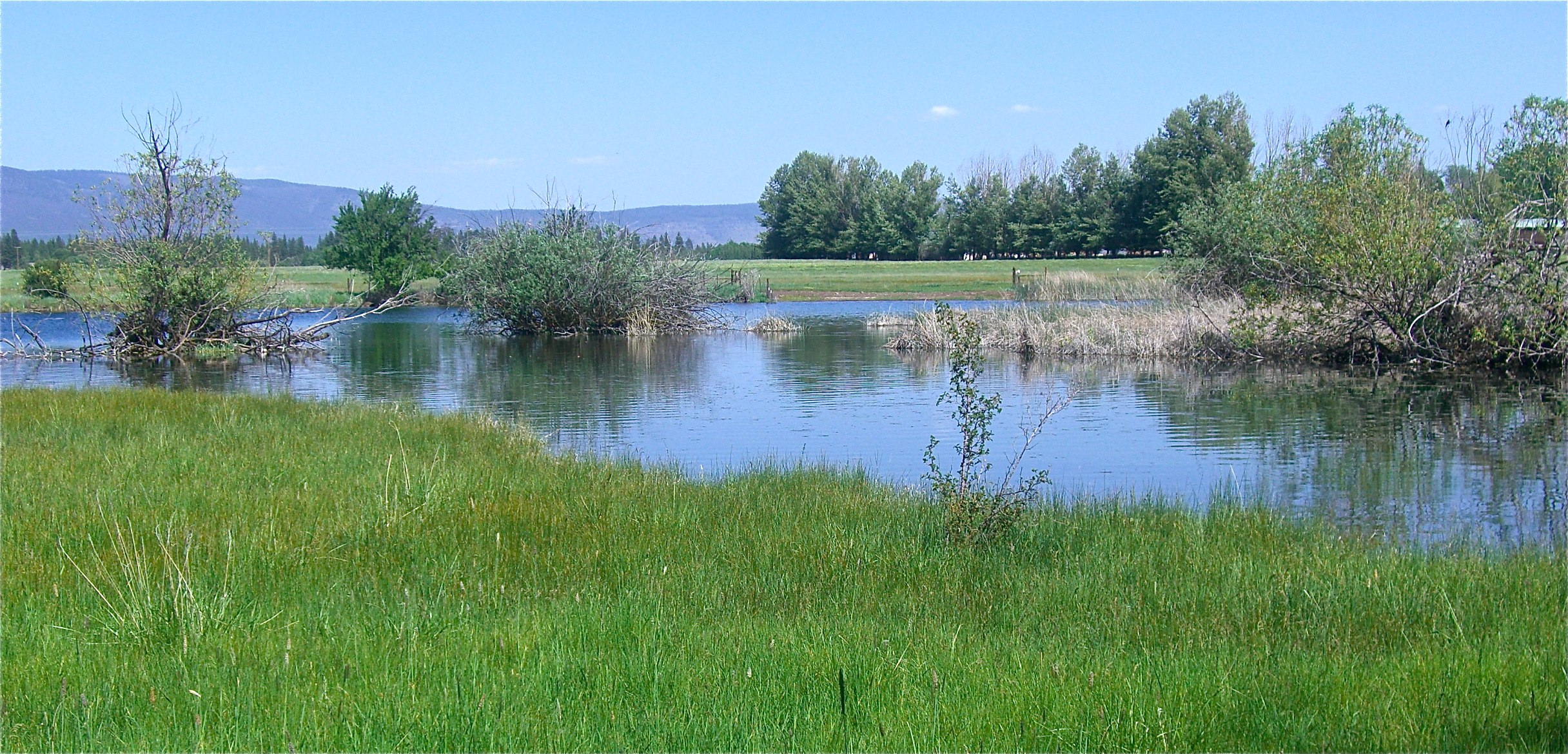
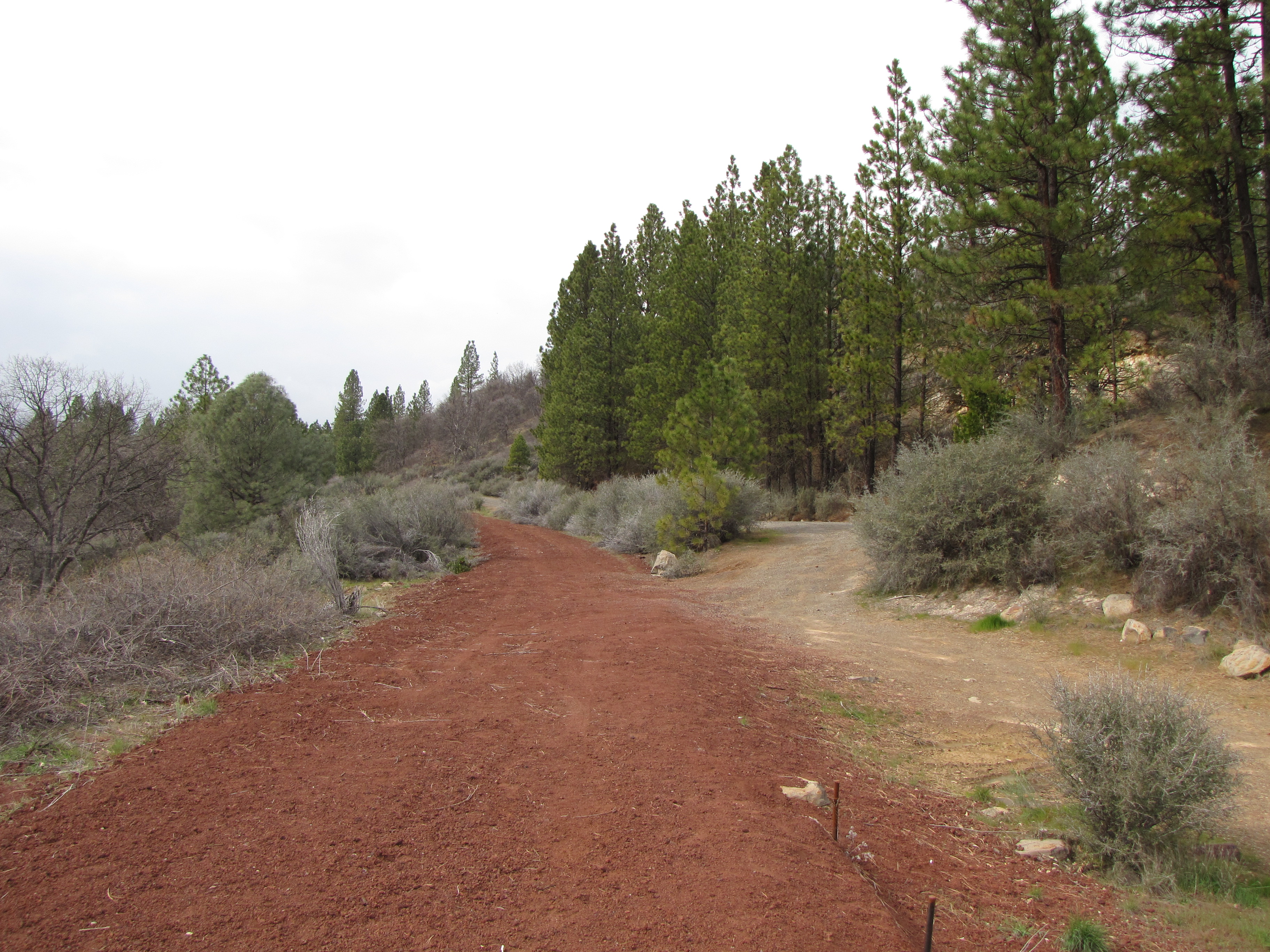
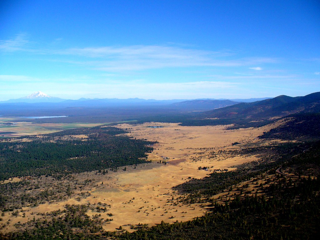
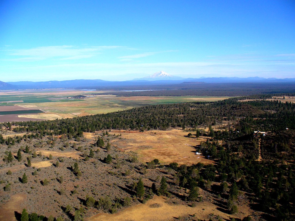
Related Photos:
VIEW FROM DECK
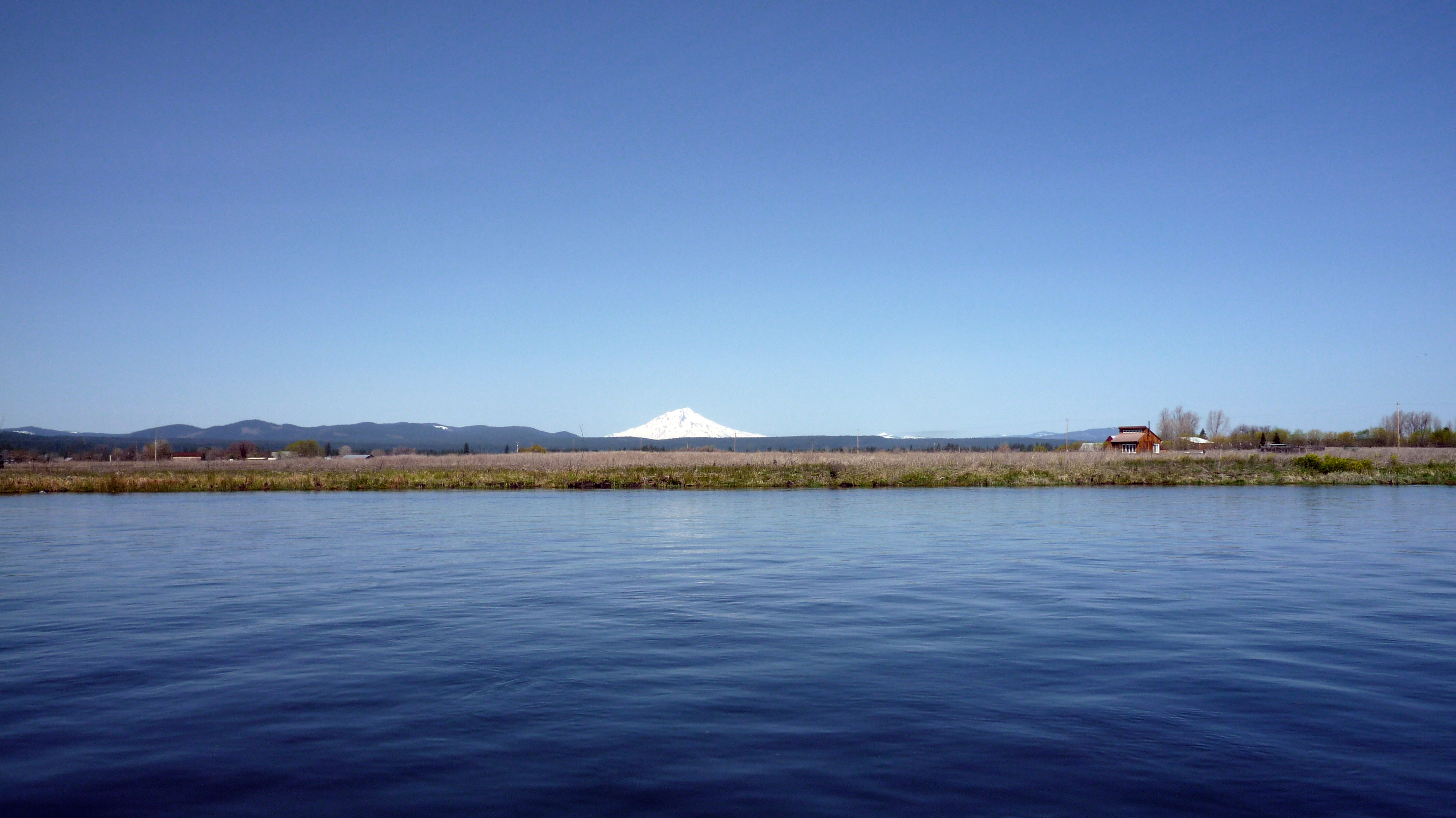
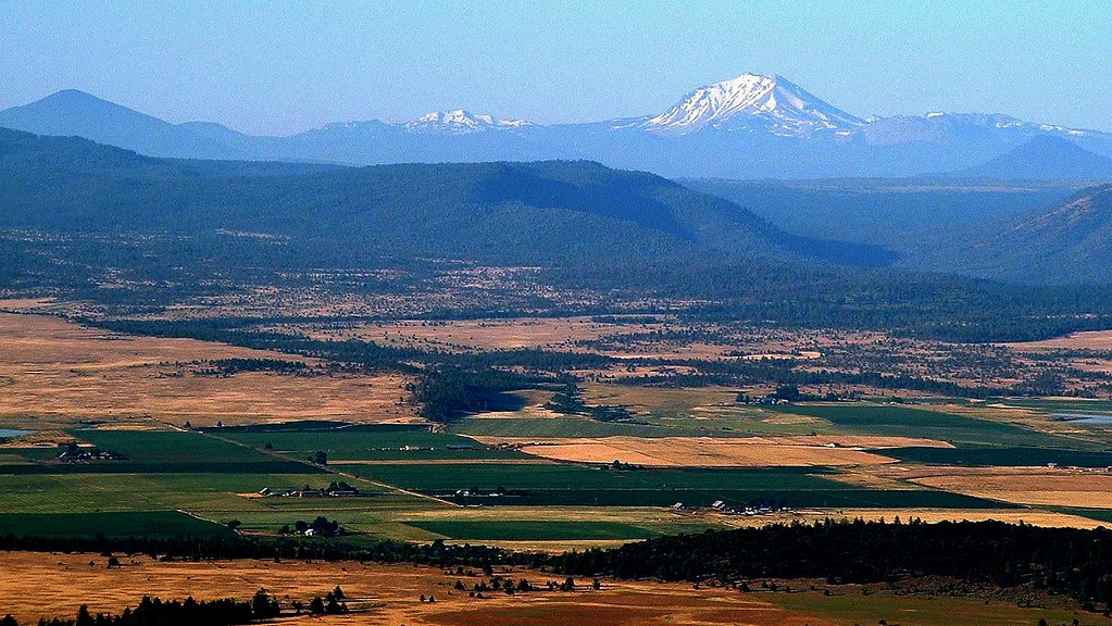
View of Mount Shasta from the boat
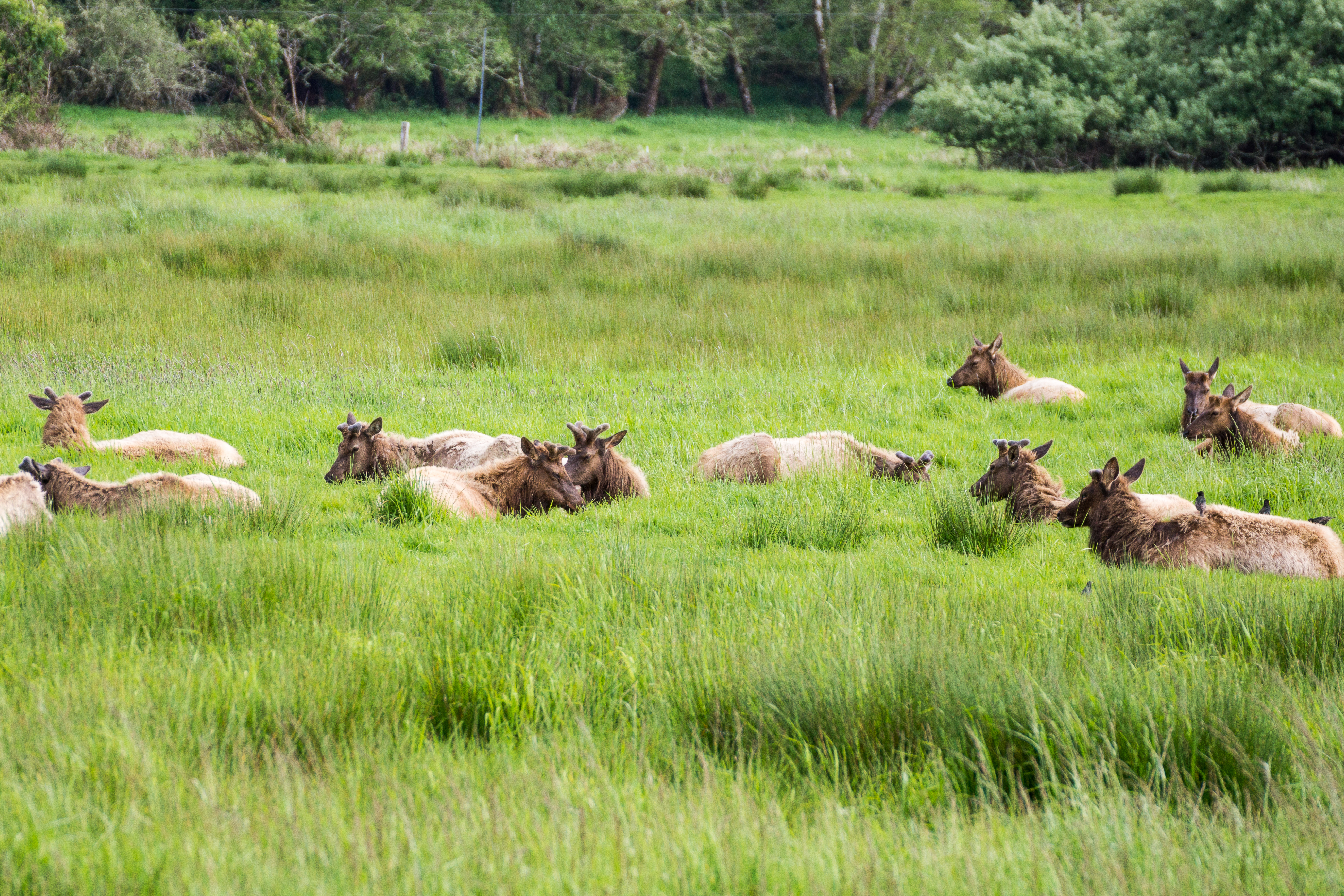
1504 Dean Creek Elk Viewing Area

Greater Yellowlegs. McArthur CA. Shasta County. 20150721.

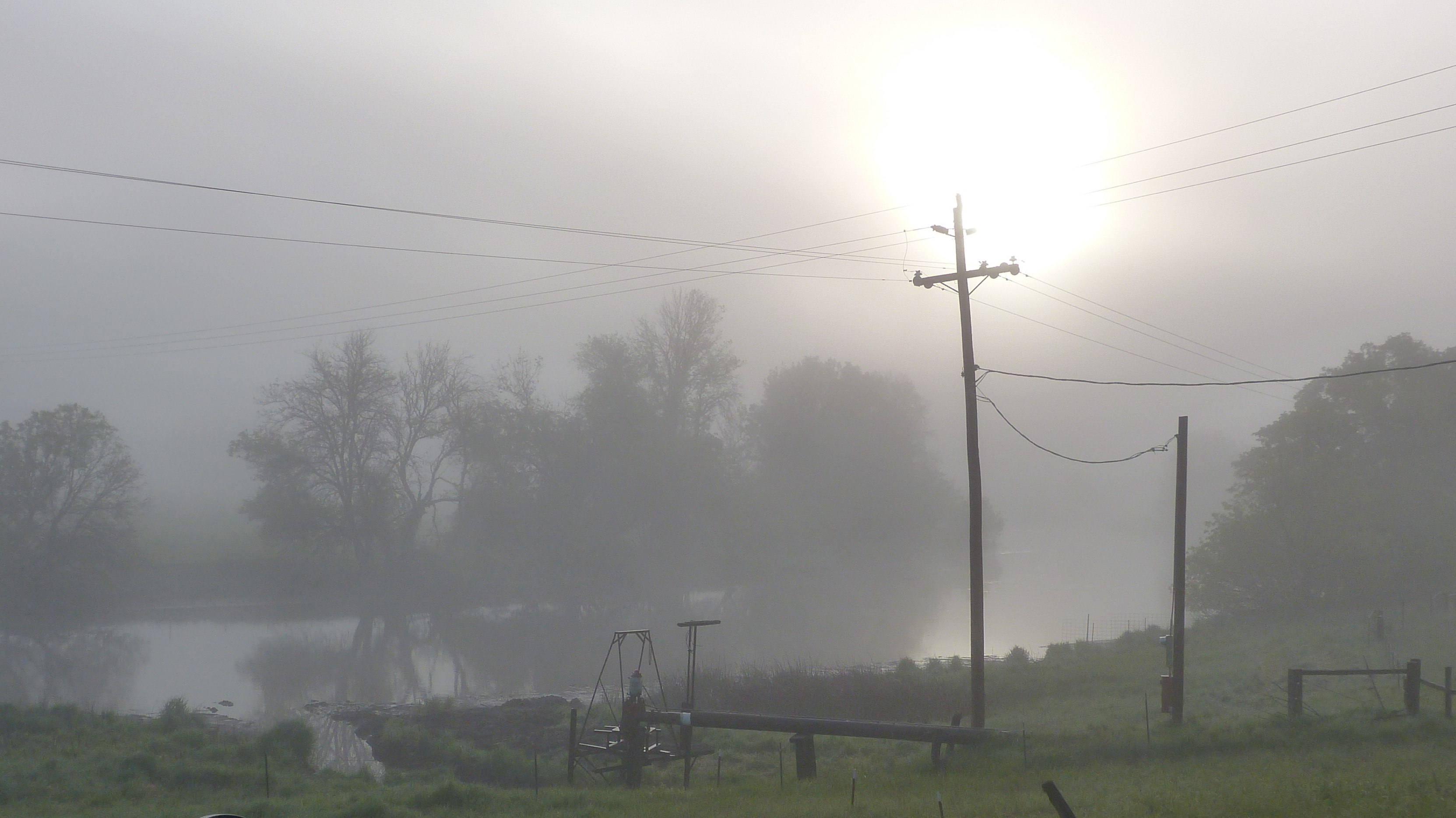
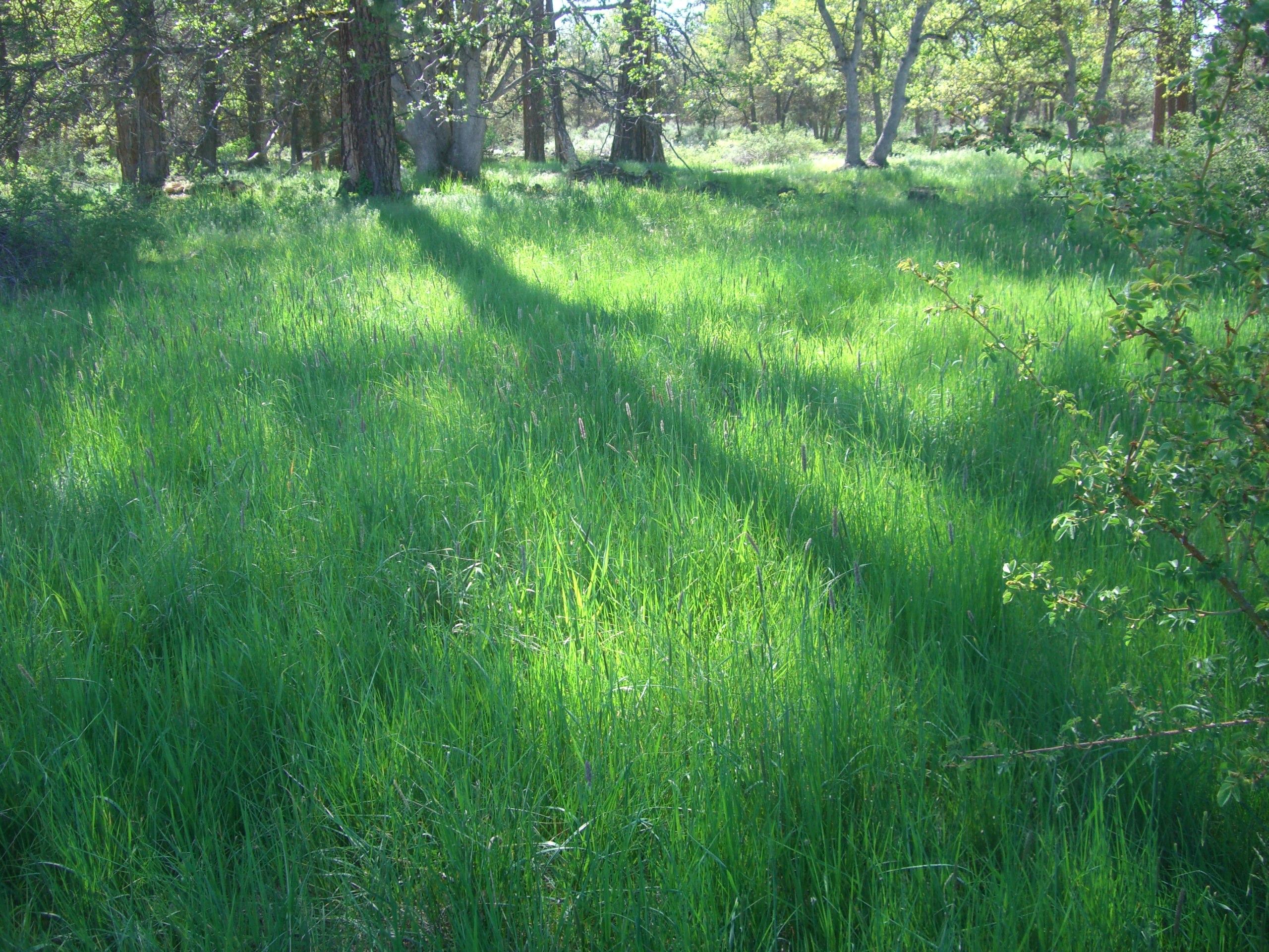
What a View
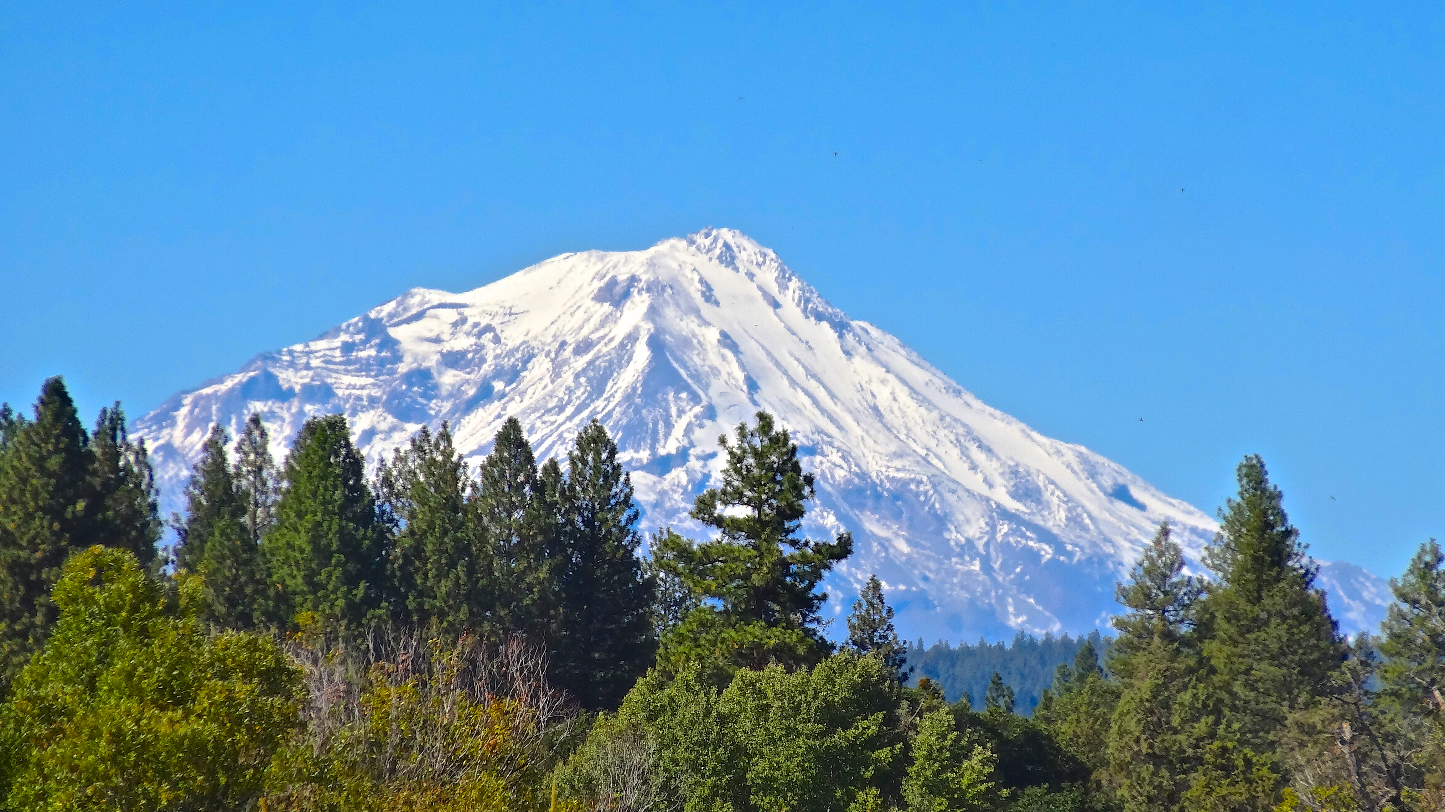
'White Mountain'
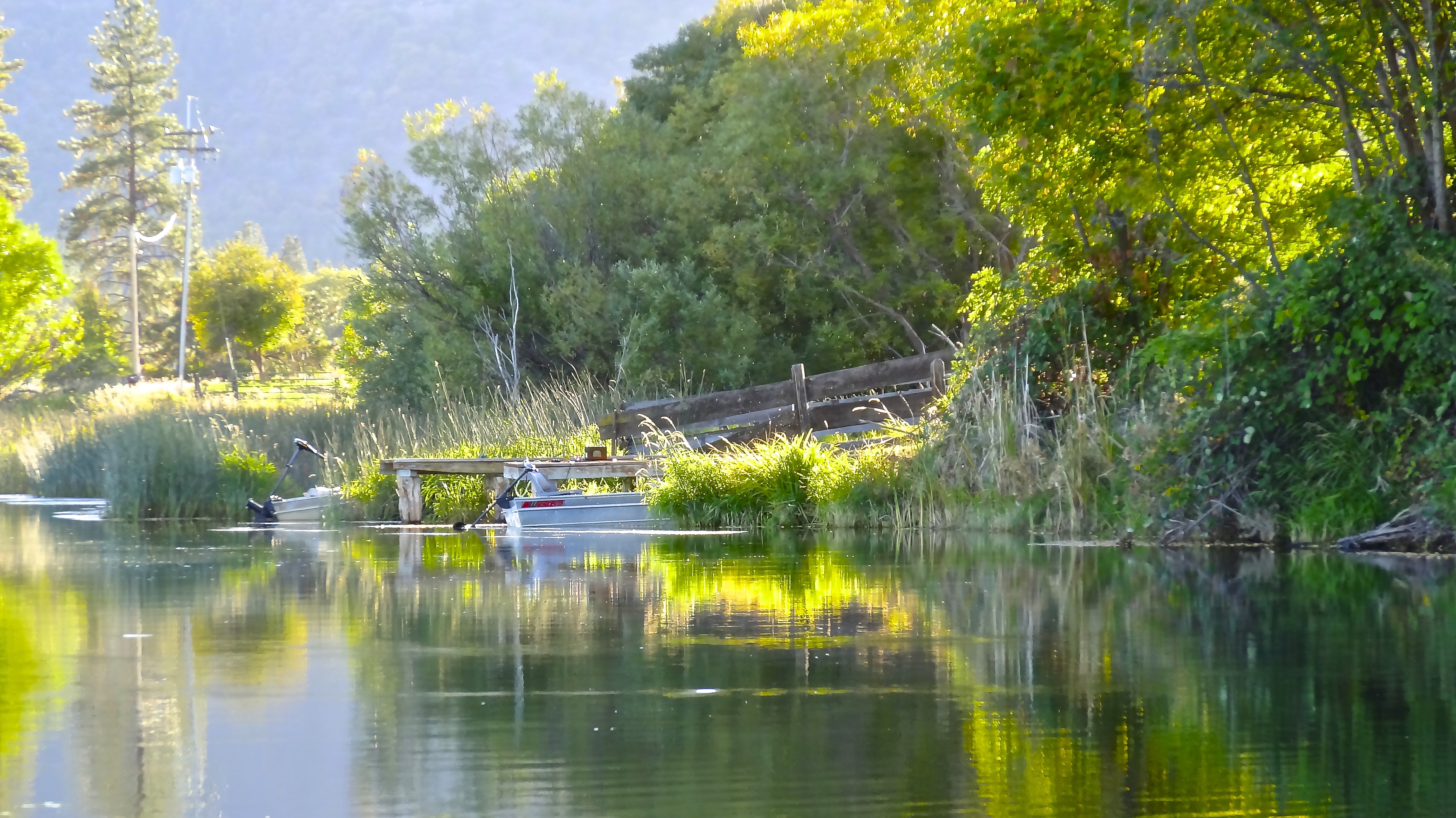
Lazy Afternoon on the Fall

Highway 89 [03.30.13]
End of the Day
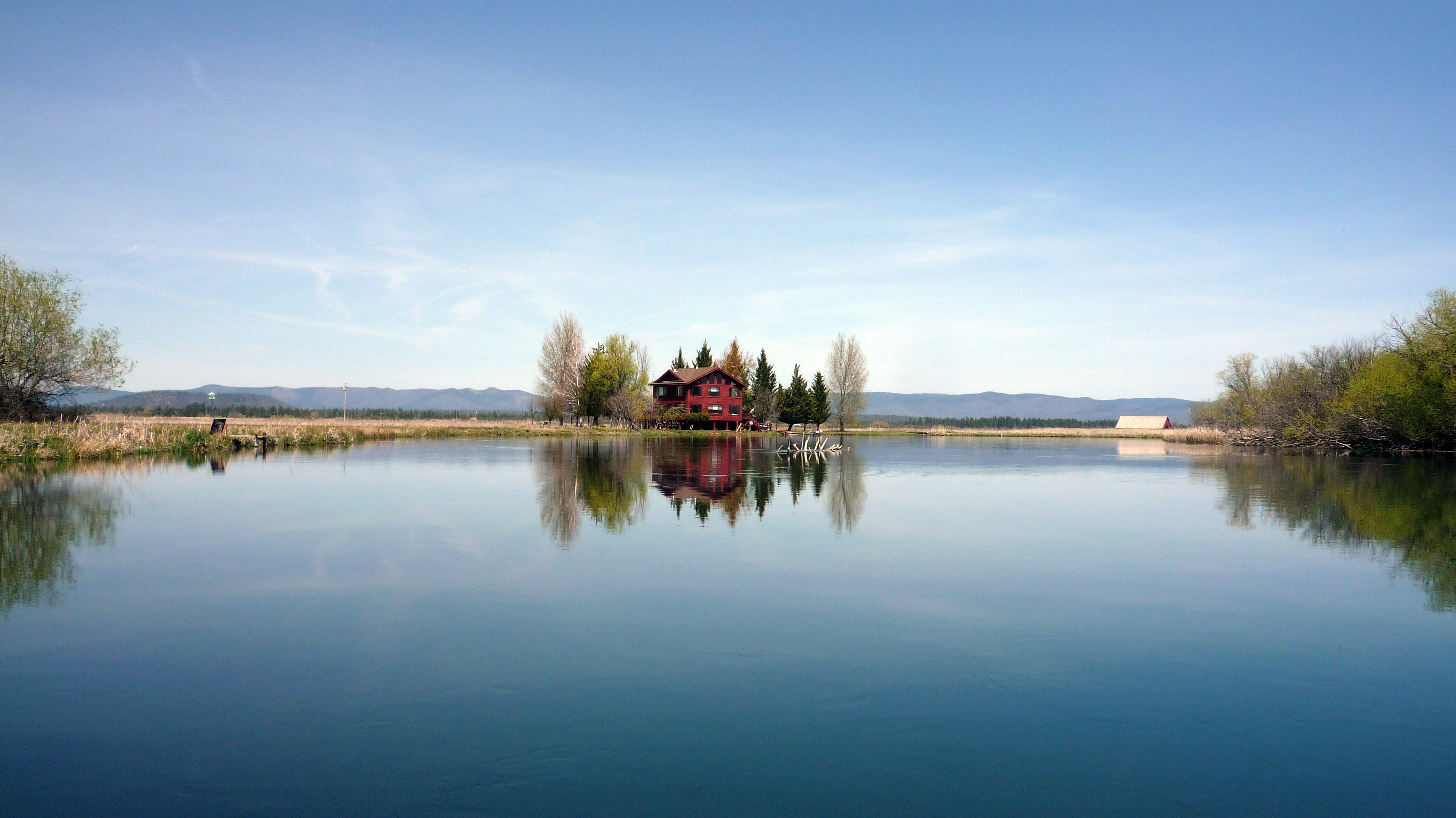
Our little house
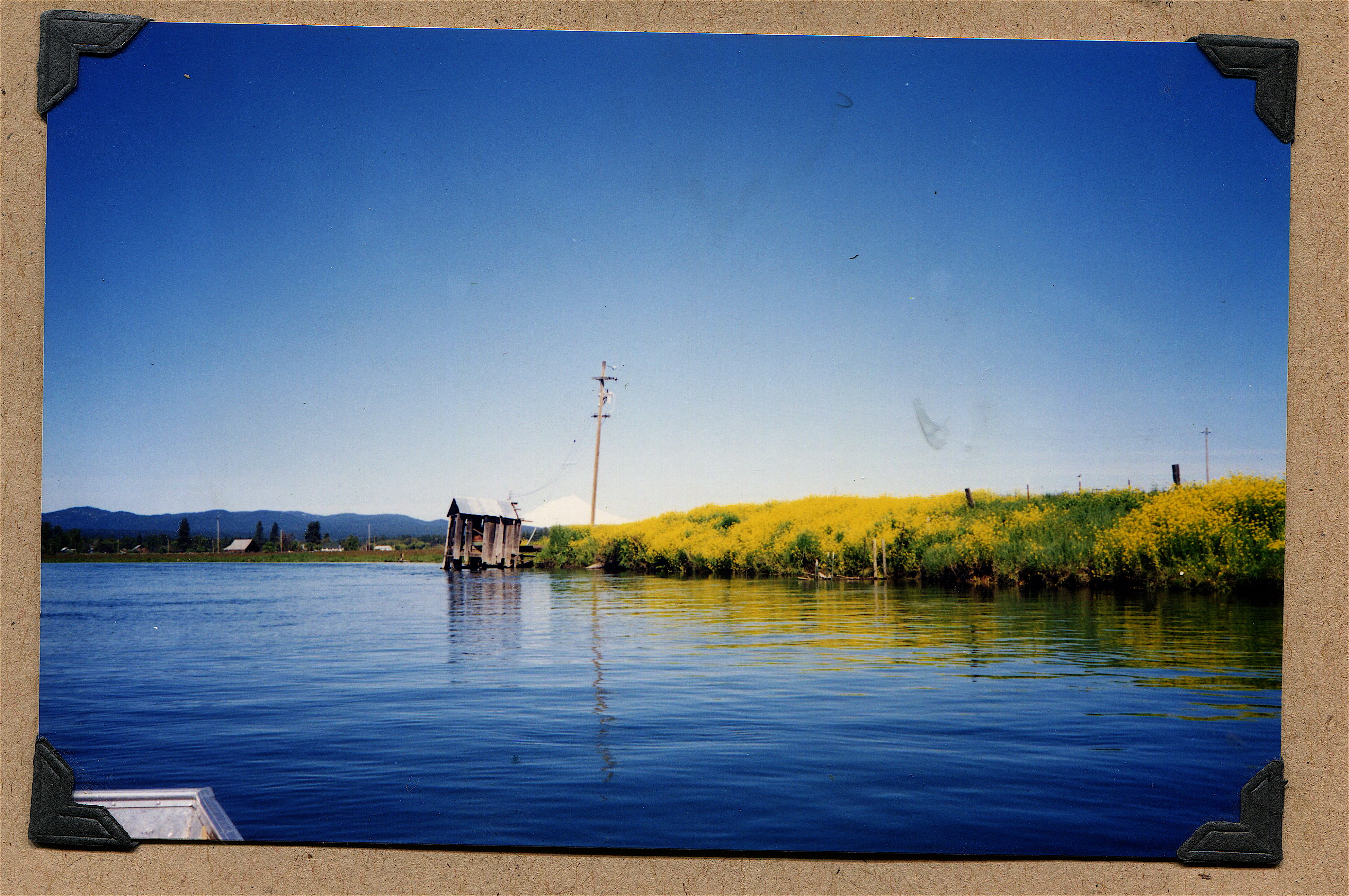
FALL RIVER PUMP HOUSE. MT. SHASTA & SPRING MUSTARD YELLOW
RETURN TO SPRING CREEK [ 4 OF 4 ]
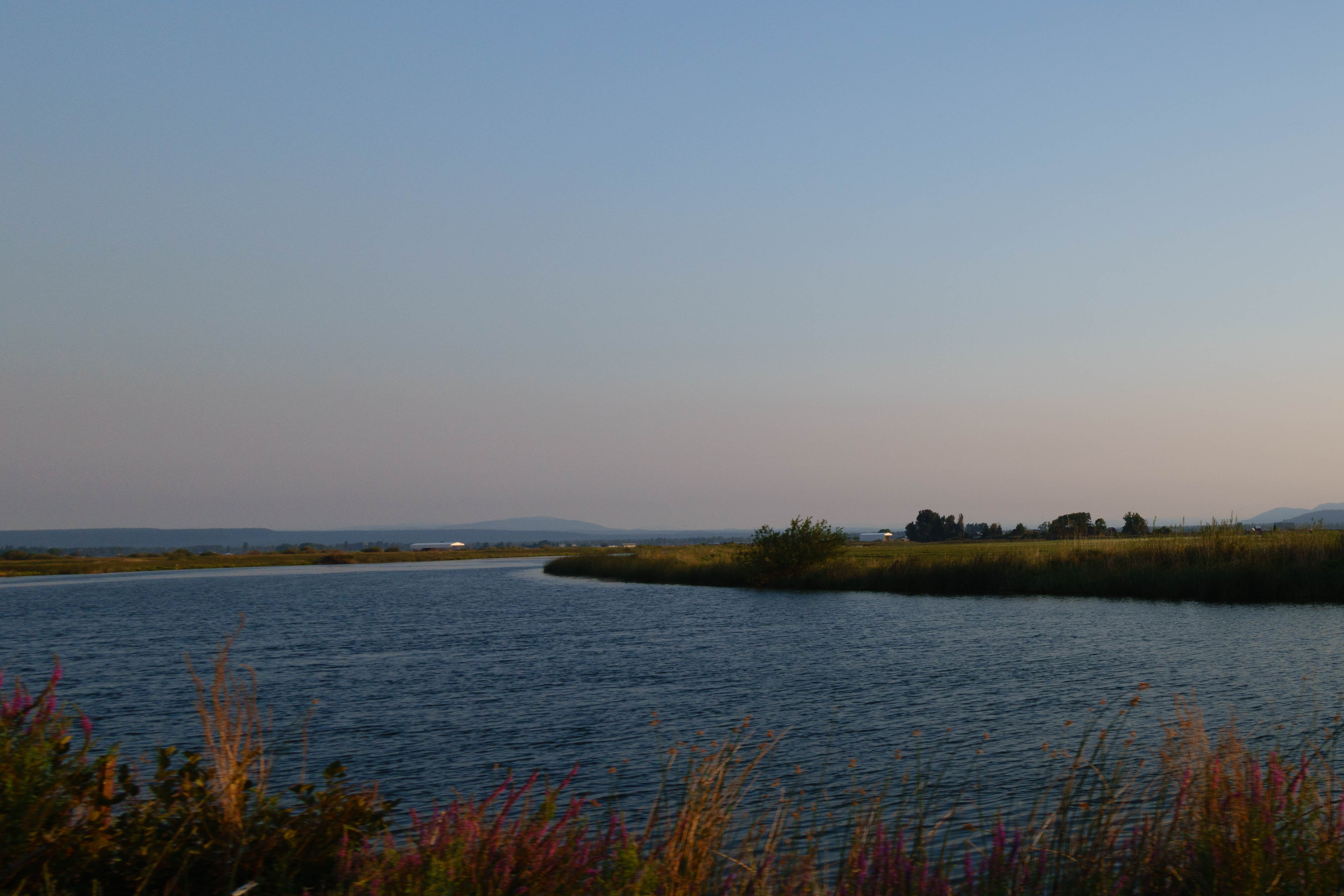
Fall River
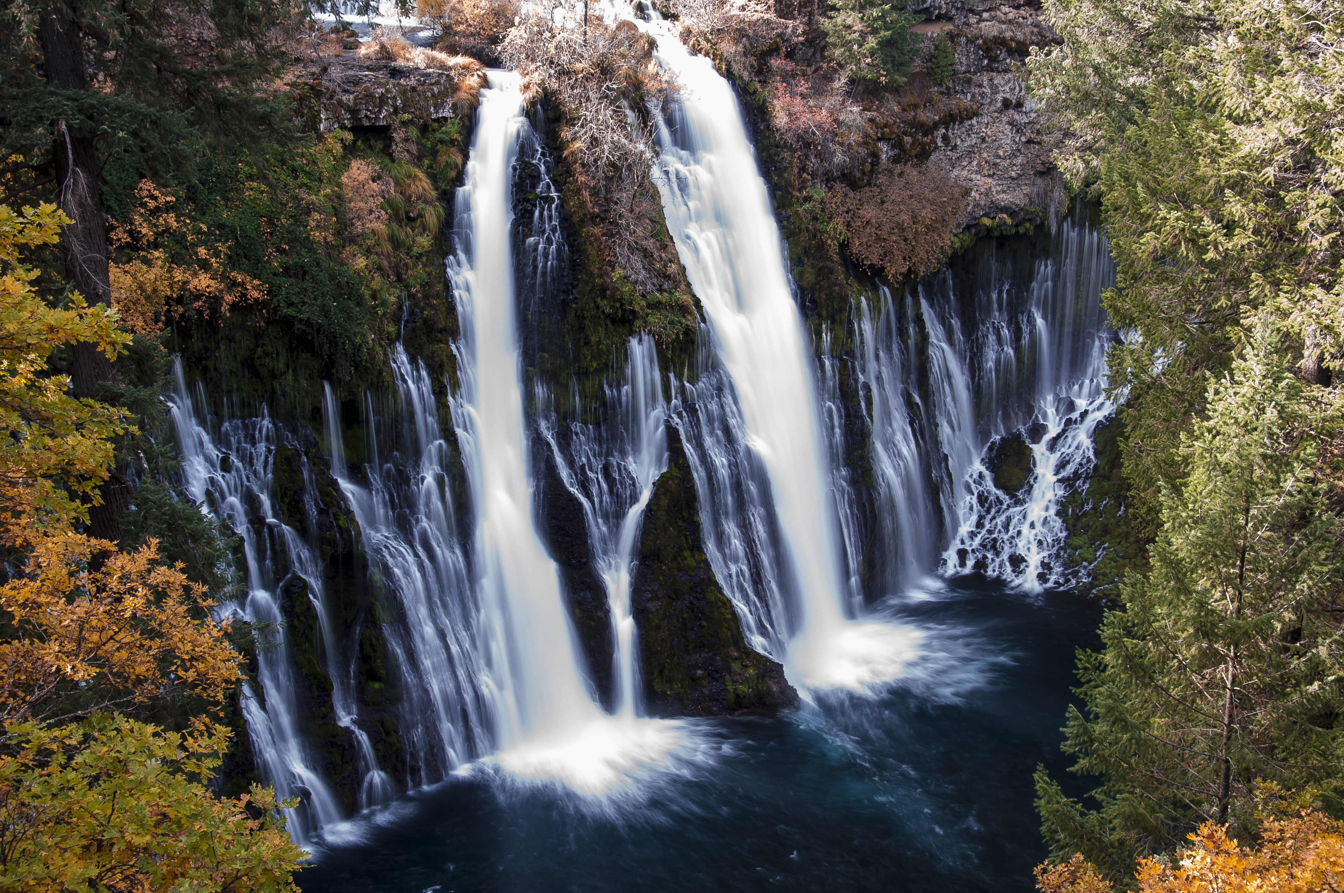
Burney Creek Falls

Lavabeds 40
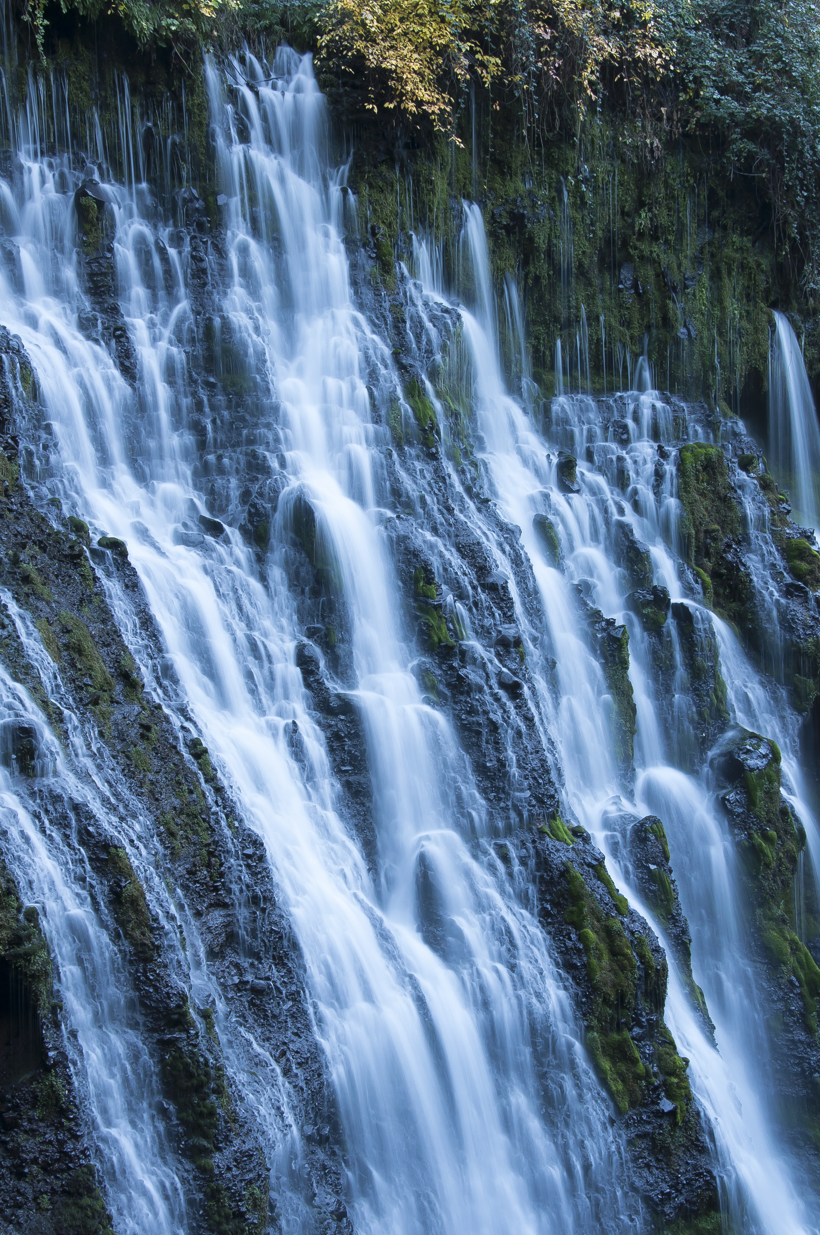
Burney Creek Falls
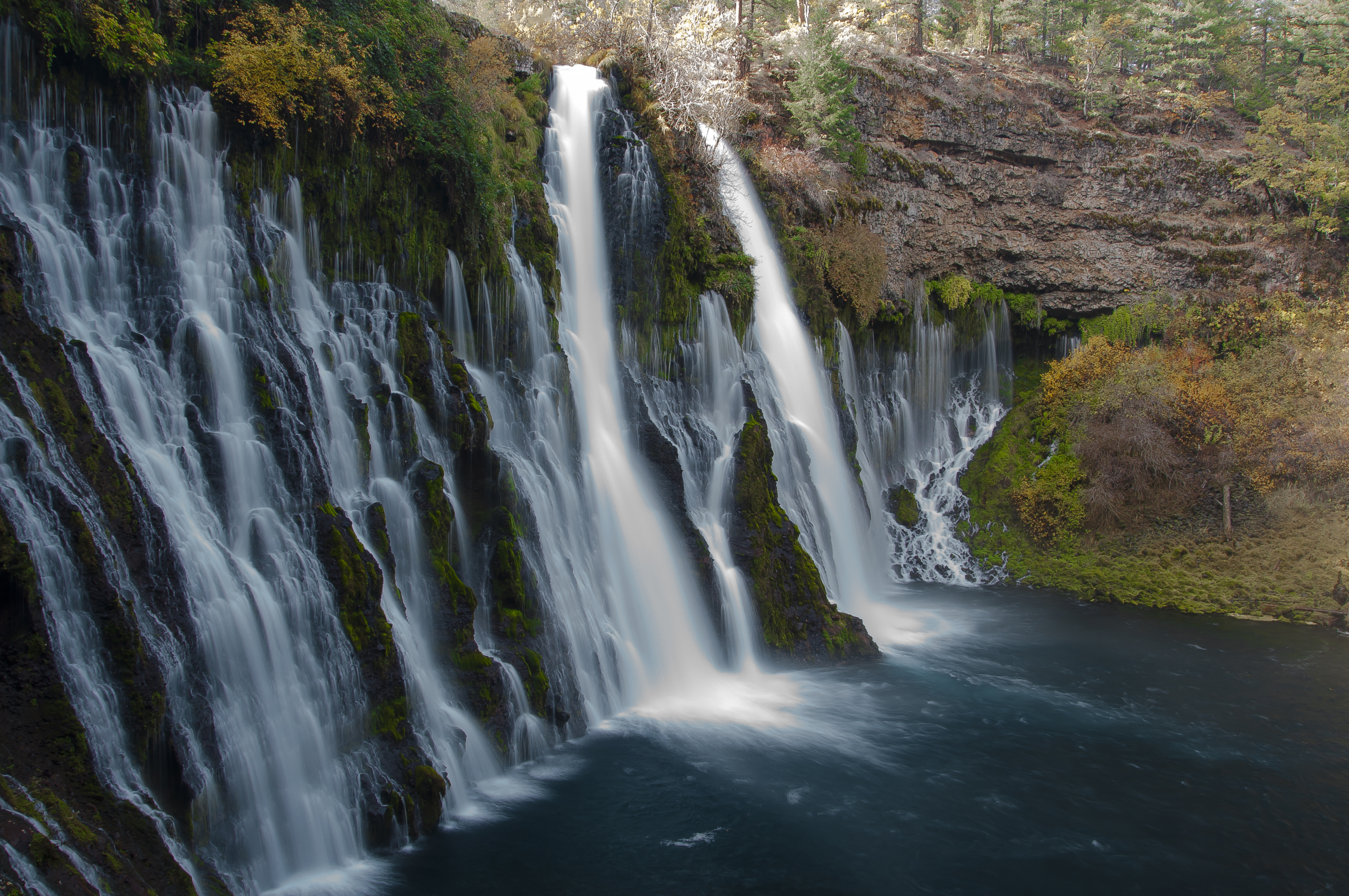
Burney Creek Falls
Lassen Peak
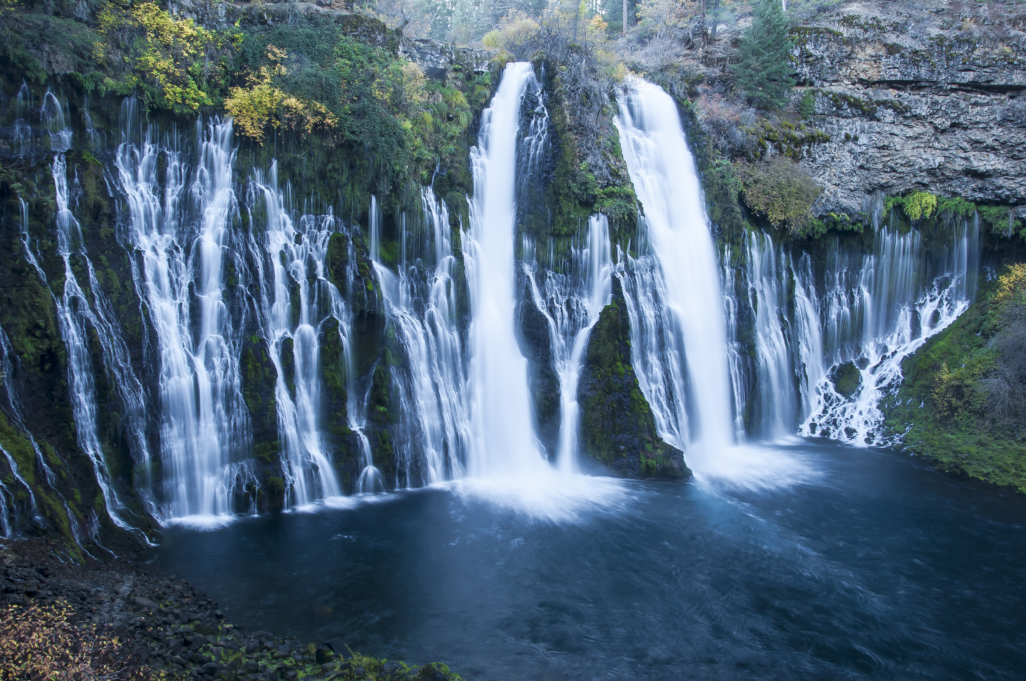
Burney Creek Falls
APPLE ORCHARD NEXT TO FALL RIVER
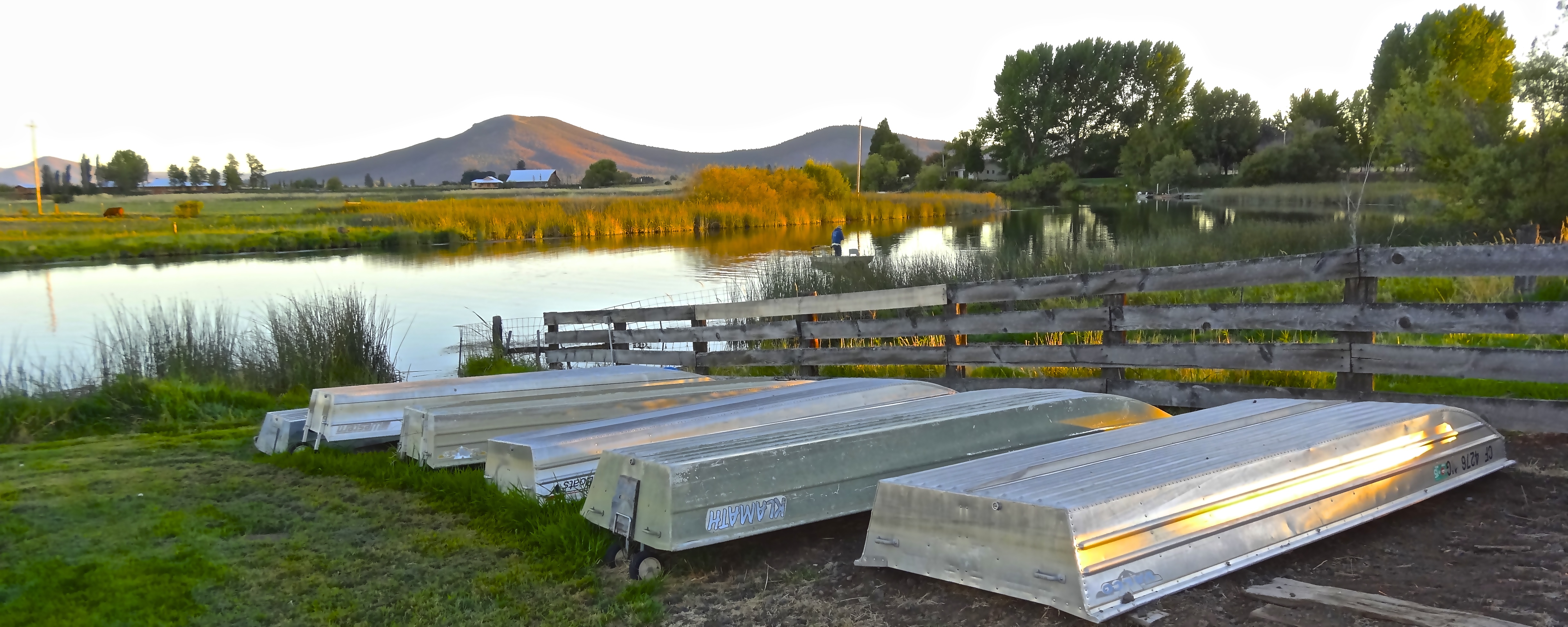
RETURN TO SPRING CREEK [2 OF 4]
Stand By Me Trestle
Hank's '07

Pine Siskin FRV 10-2-07

Pit River Falls
Hank's - Fall River Valley
Topographic Map of CA-, Fall River Mills, CA, USA
Find elevation by address:

Places near CA-, Fall River Mills, CA, USA:
Fall River Mills
Mcarthur
Pittville Rd, McArthur, CA, USA
545 Templehof Ln
Ahjumawi Lava Springs State Park
Thrush Road
Cassel
28035 Fort Mountain Rd
McArthur Rd, Fall River Mills, CA, USA
Volcano Lane
Doty Rd, Hat Creek, CA, USA
Hat Creek
37985 Clark Creek Rd
Clark Creek Rd, Burney, CA, USA
18320 Ca-89
Cayton Valley Rd, Burney, CA, USA
Garden Ln, Burney, CA, USA
Day Rd, McArthur, CA, USA
Burney Falls
Burney
Recent Searches:
- Elevation of Beall Road, Beall Rd, Florida, USA
- Elevation of Leguwa, Nepal
- Elevation of County Rd, Enterprise, AL, USA
- Elevation of Kolchuginsky District, Vladimir Oblast, Russia
- Elevation of Shustino, Vladimir Oblast, Russia
- Elevation of Lampiasi St, Sarasota, FL, USA
- Elevation of Elwyn Dr, Roanoke Rapids, NC, USA
- Elevation of Congressional Dr, Stevensville, MD, USA
- Elevation of Bellview Rd, McLean, VA, USA
- Elevation of Stage Island Rd, Chatham, MA, USA