Elevation of Volcano Lane, Volcano Ln, California, USA
Location: United States > California > Shasta County > Hat Creek >
Longitude: -121.53749
Latitude: 40.8576671
Elevation: 984m / 3228feet
Barometric Pressure: 90KPa
Elevation Map:
Satellite Map:
Related Photos:
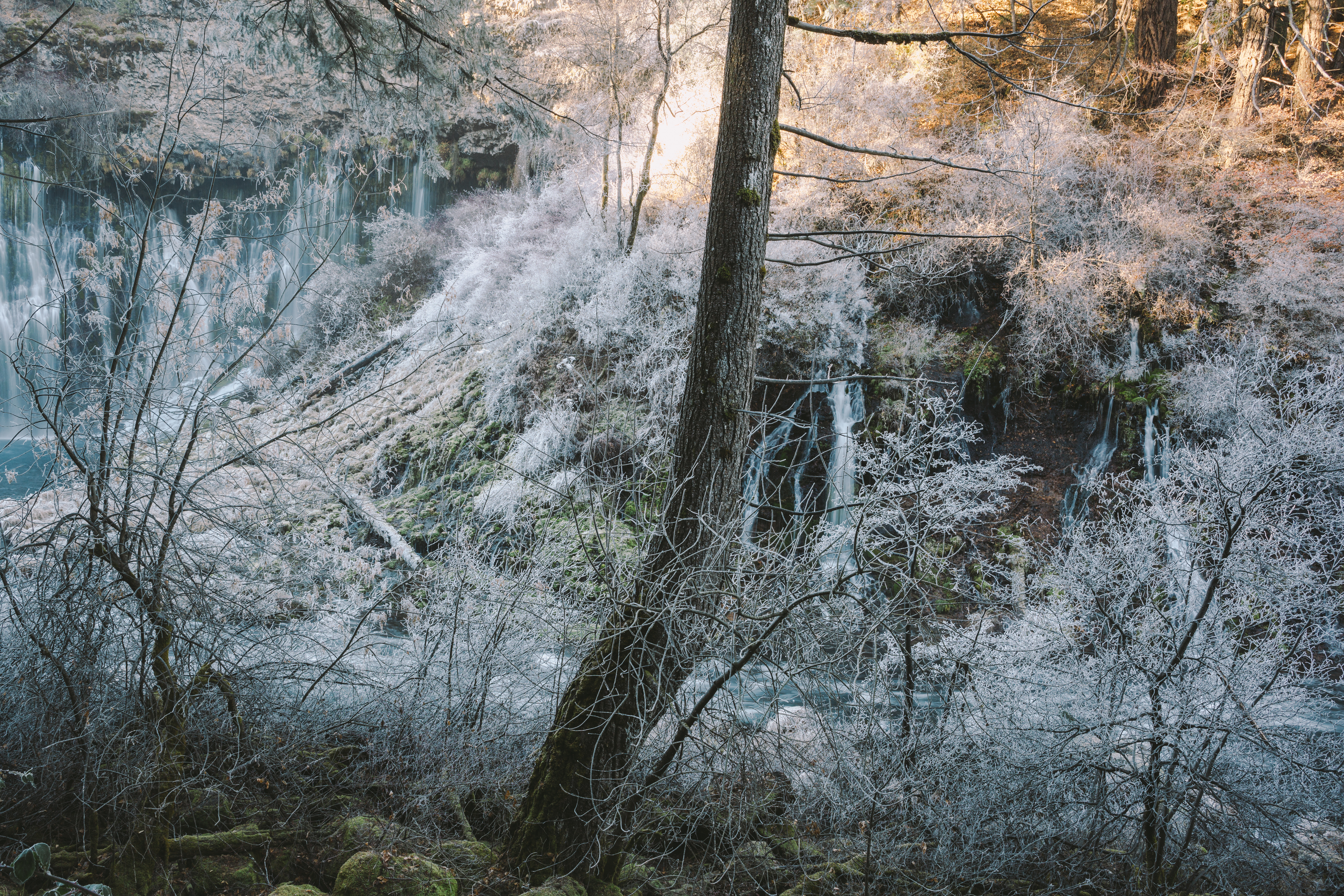
Where Frozen Dreams Are Kept
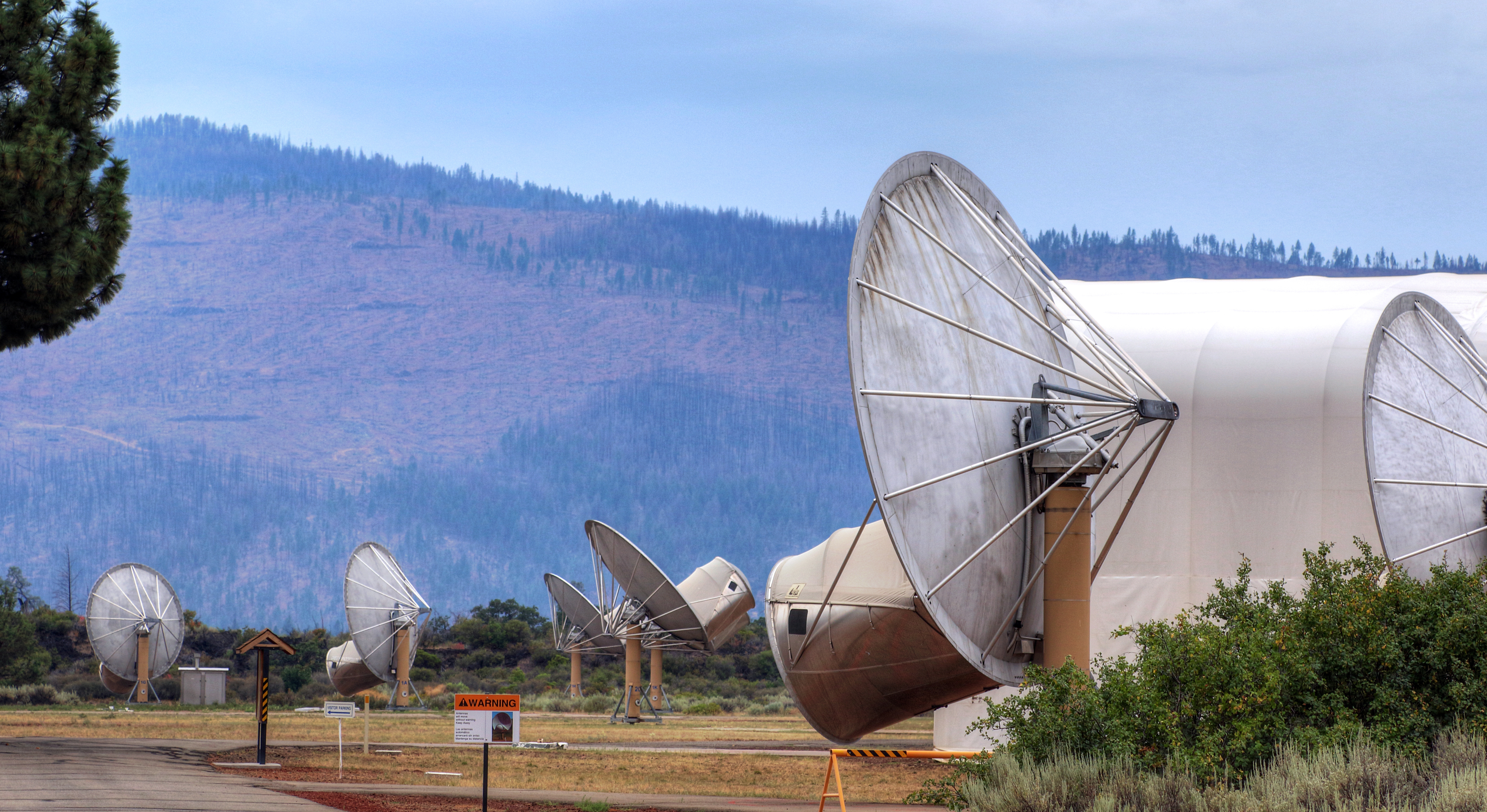
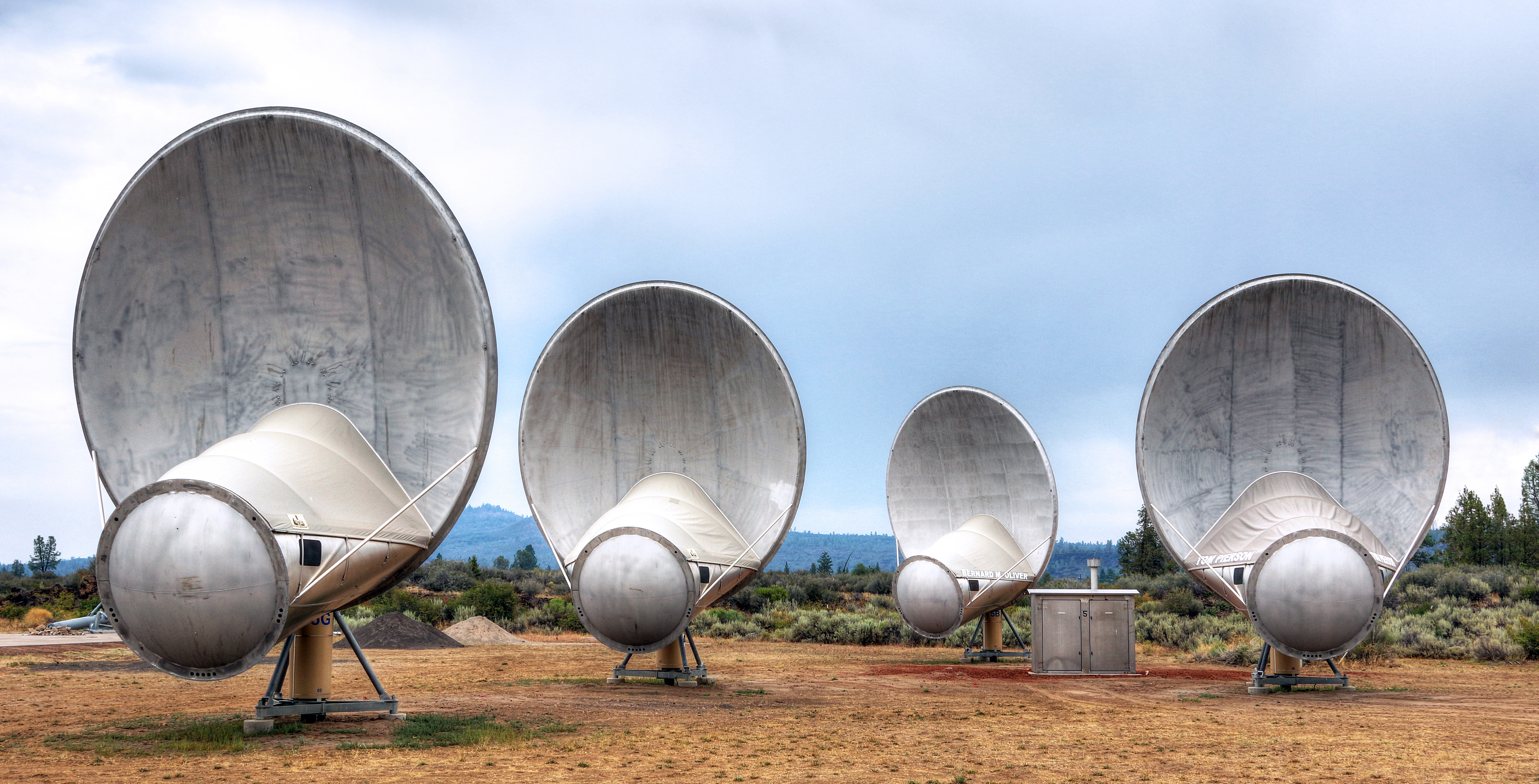
Hat Creek Radio Observatory (HCRO)
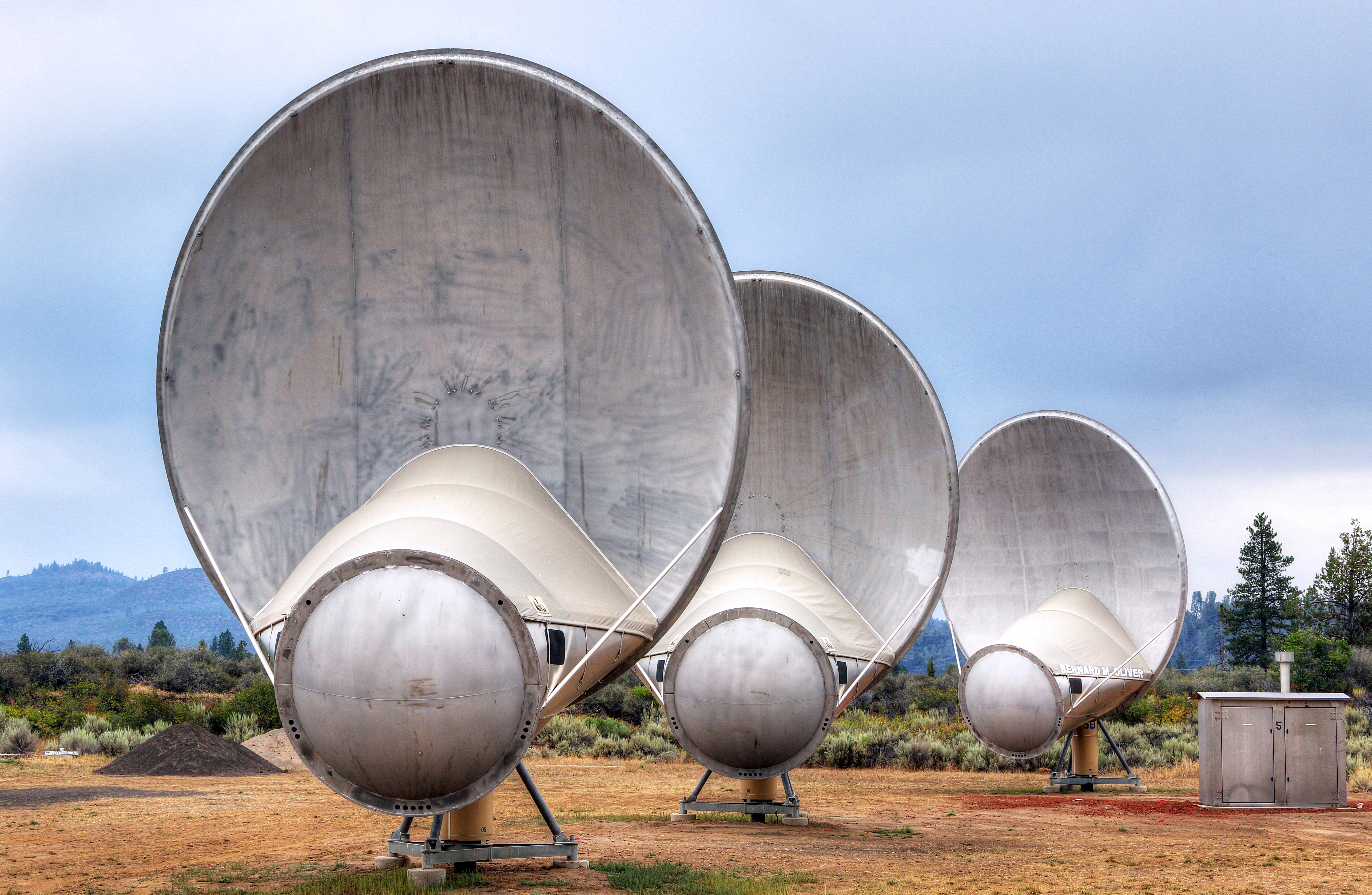
Hat Creek Radio Observatory (HCRO)
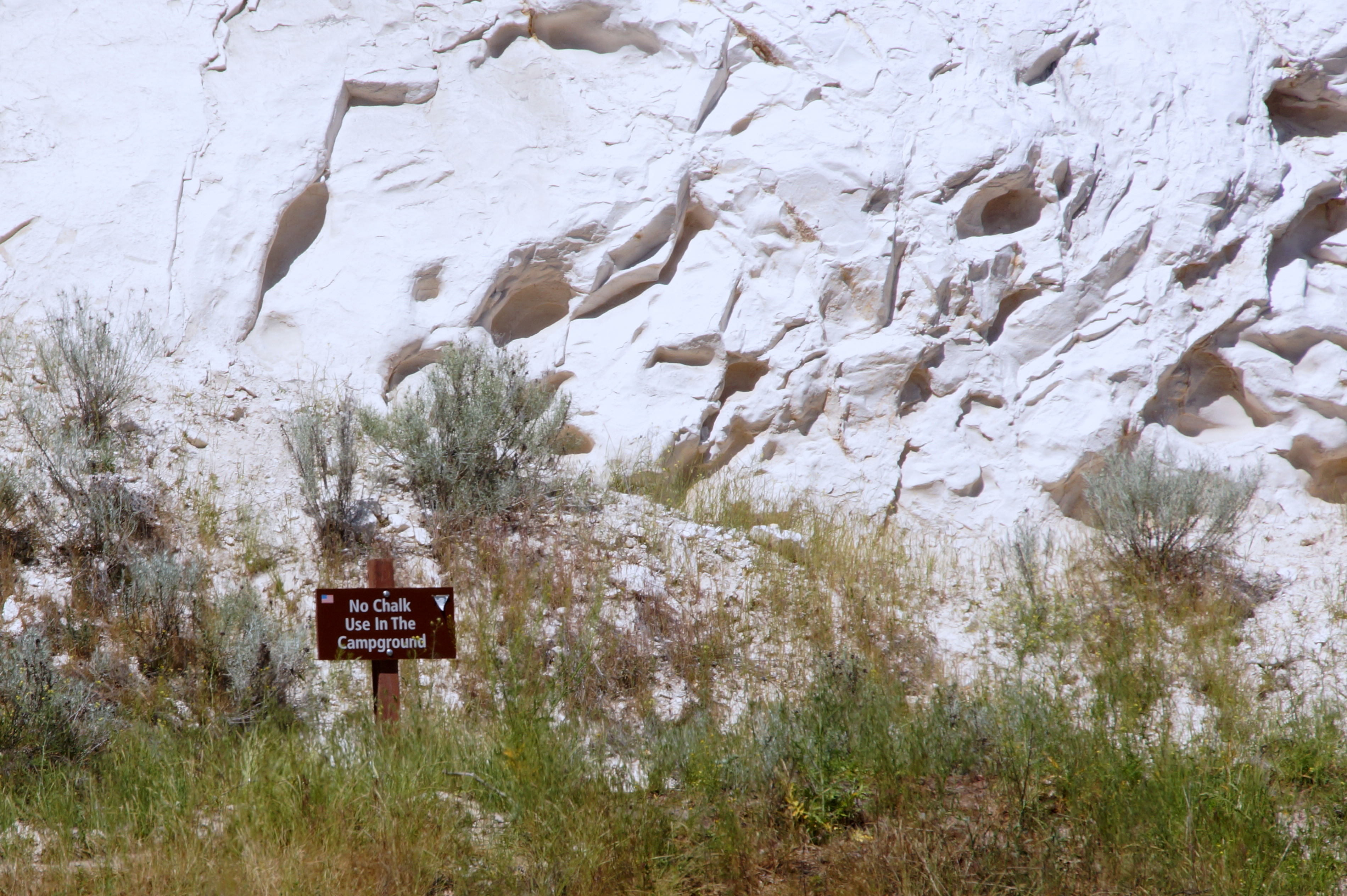
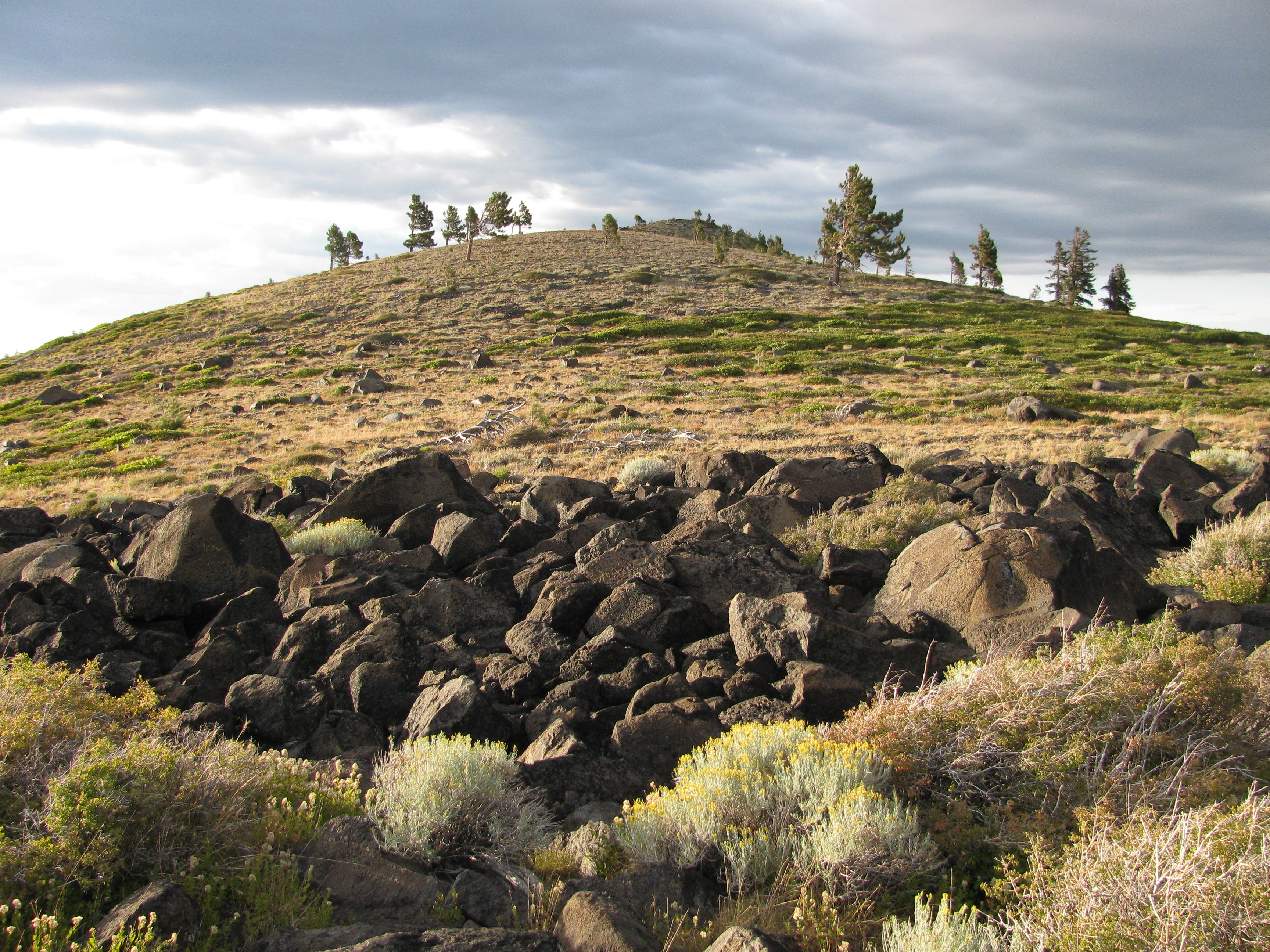
Climbing the lava boulders
Hat Creek Radio Observatory (HCRO)
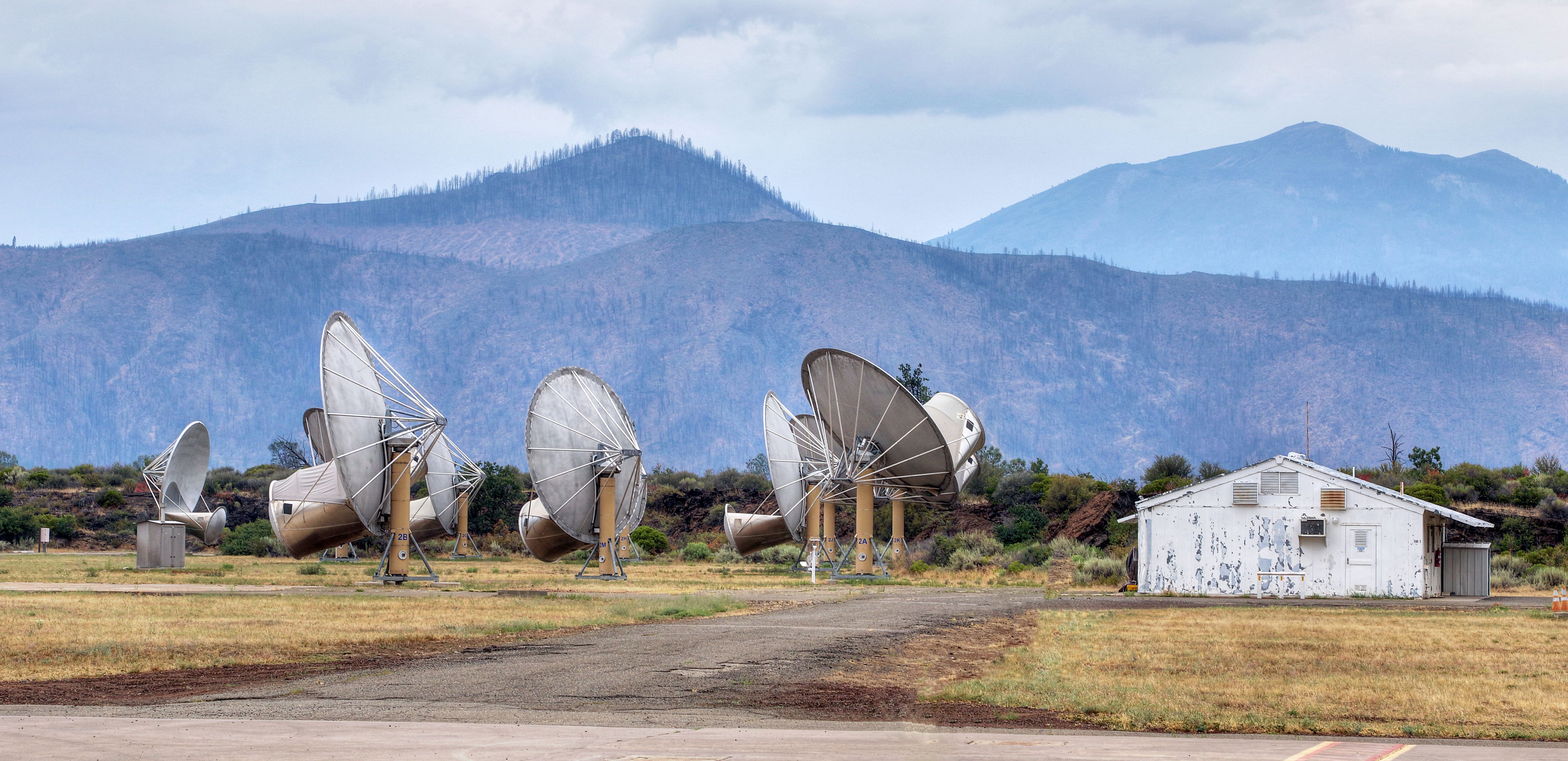
Hat Creek Radio Observatory (HCRO)
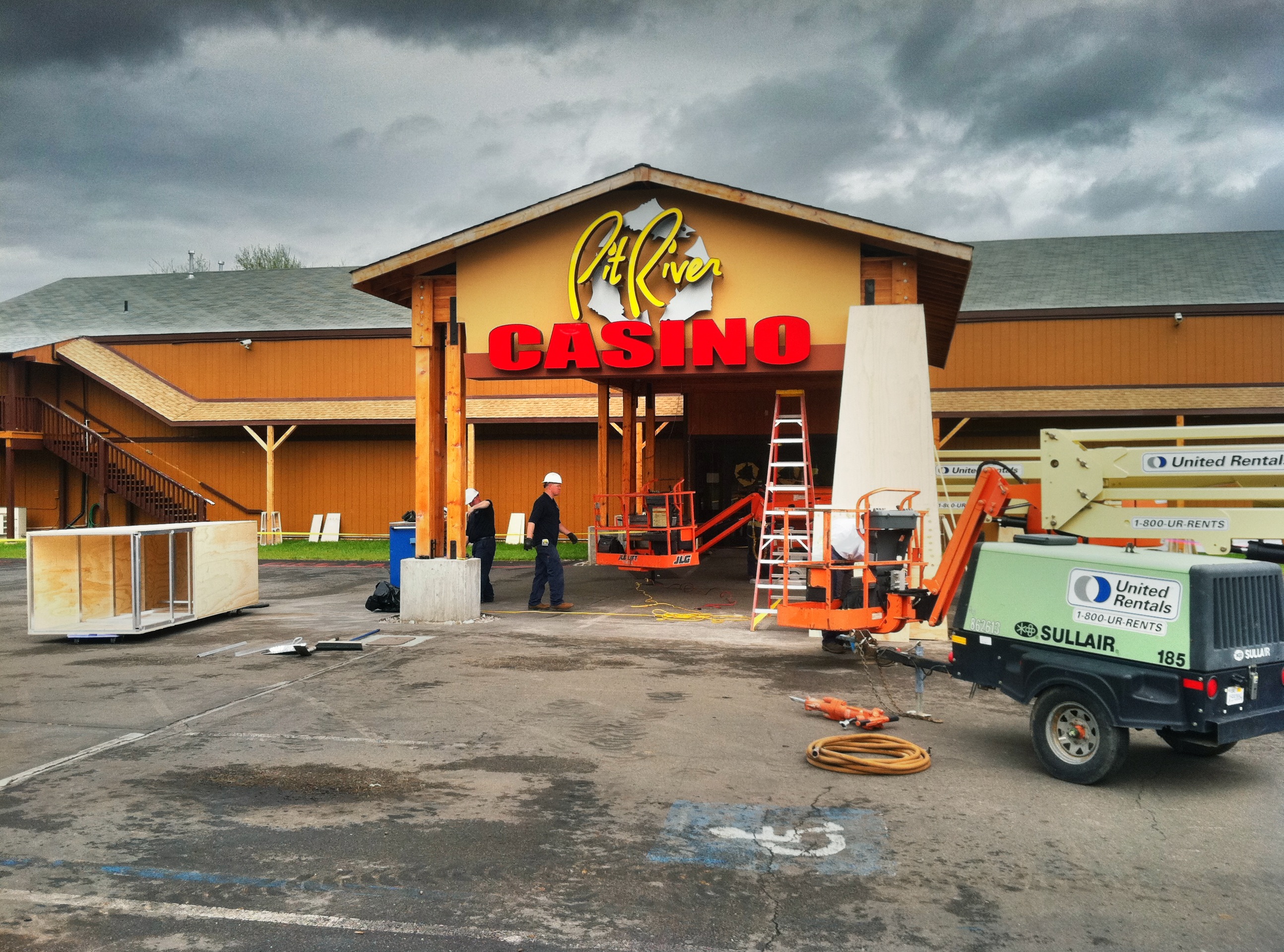
Casino Exterior Upgrade | Porte Cochere Remodel | Casino Design | Pit River Casino | Exterior Decor Design
View to the E

Burney Fire Dept
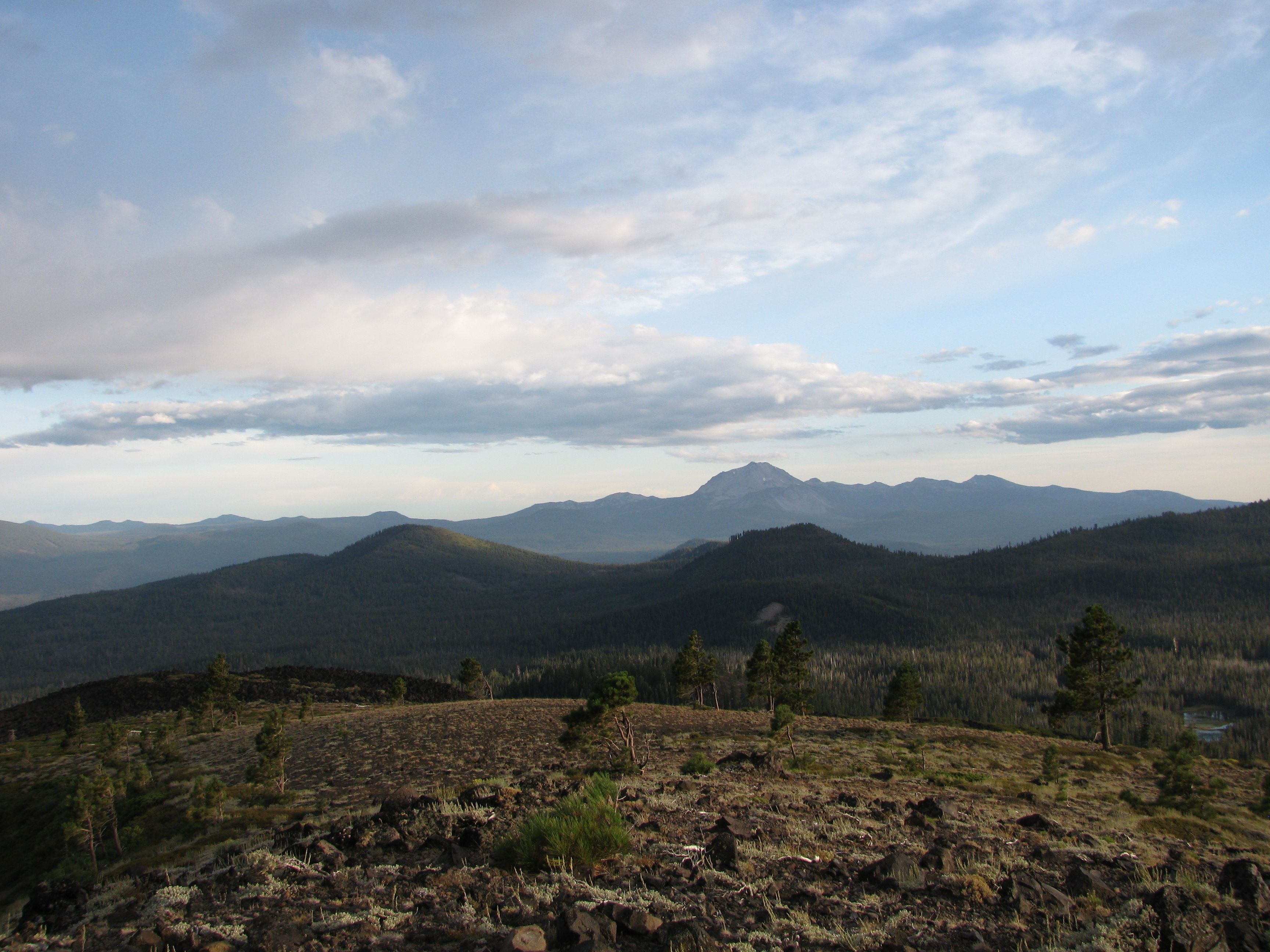
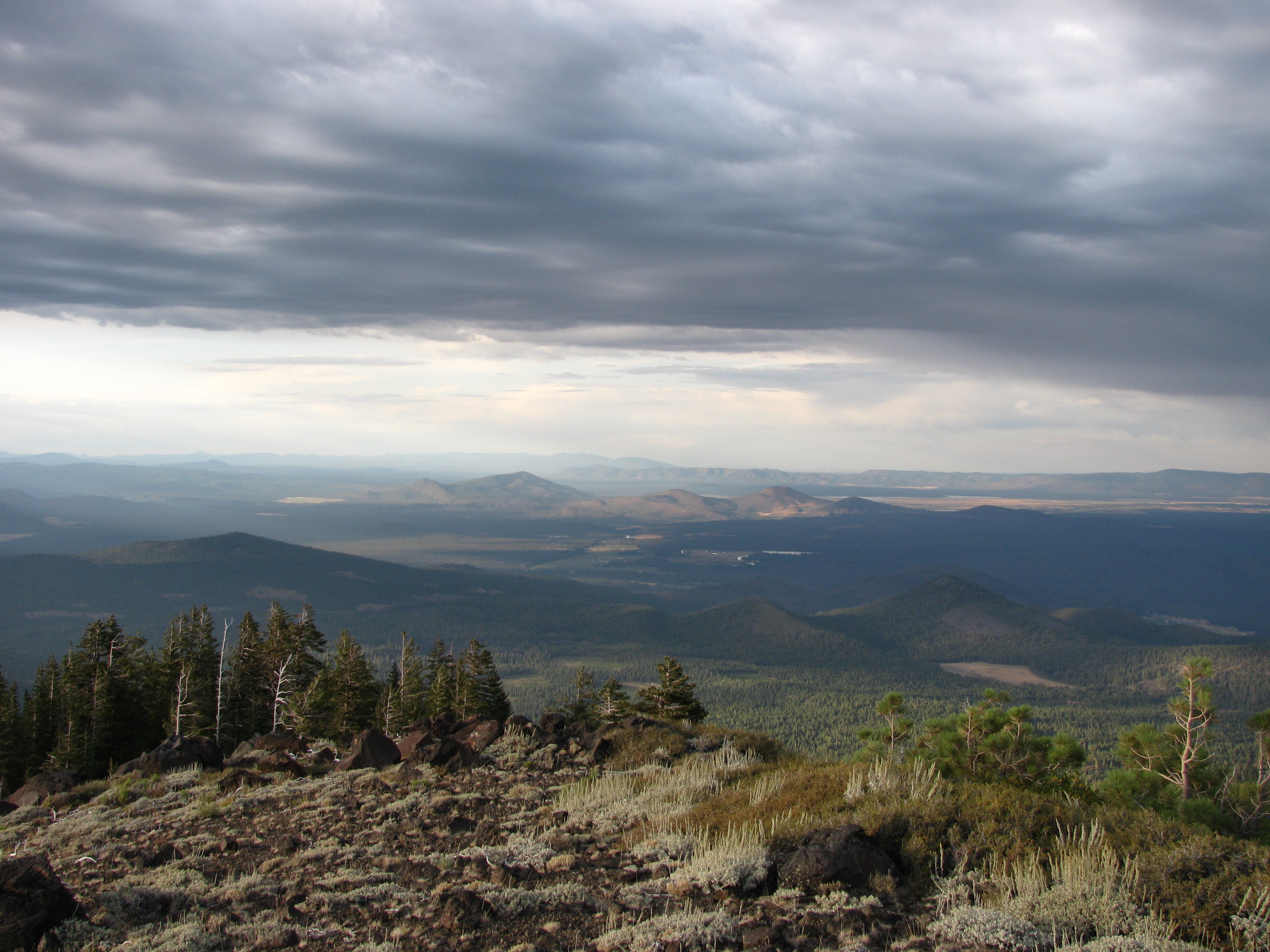
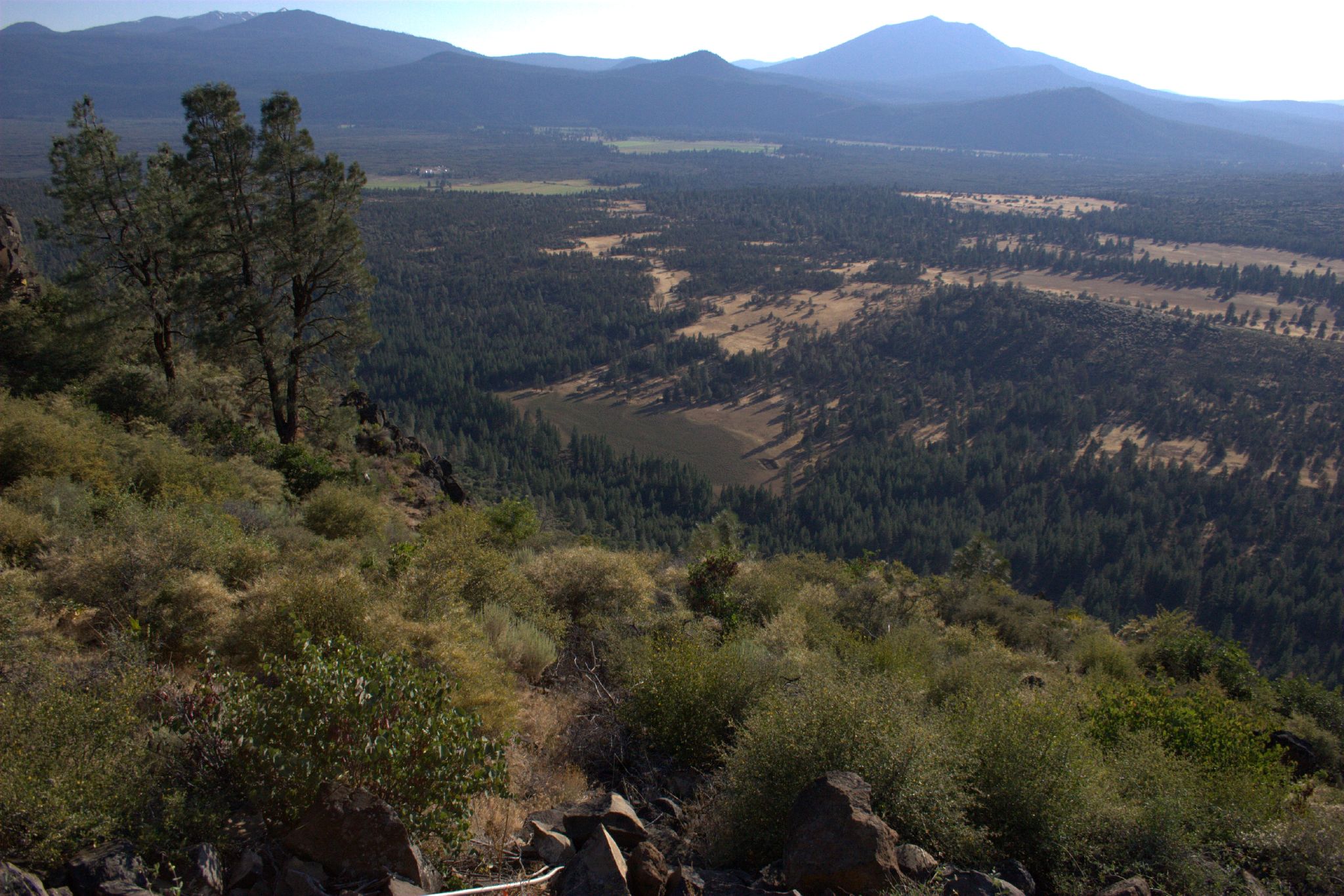
View towards Lassen
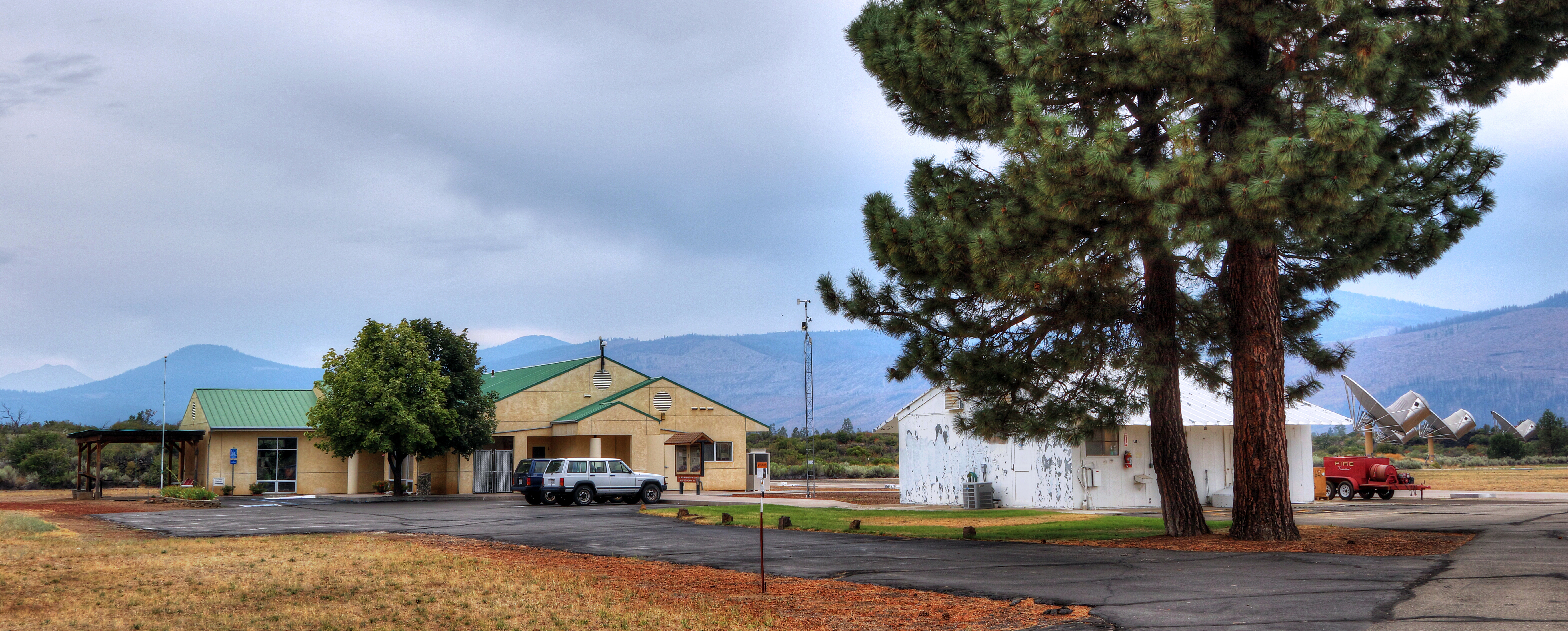
Hat Creek Radio Observatory (HCRO)

What a View
GROUND FOG BEYOND

Highway 89 [03.30.13]
0522-143230a

Pull over, and have a shot
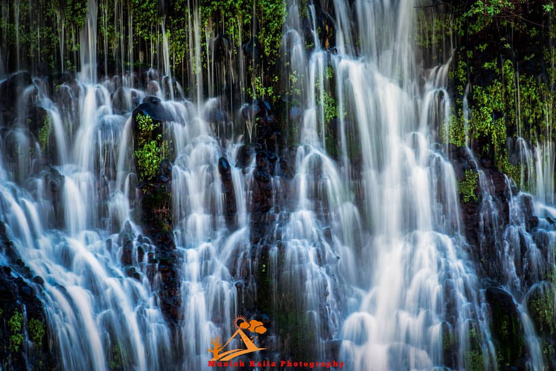
Burney Falls
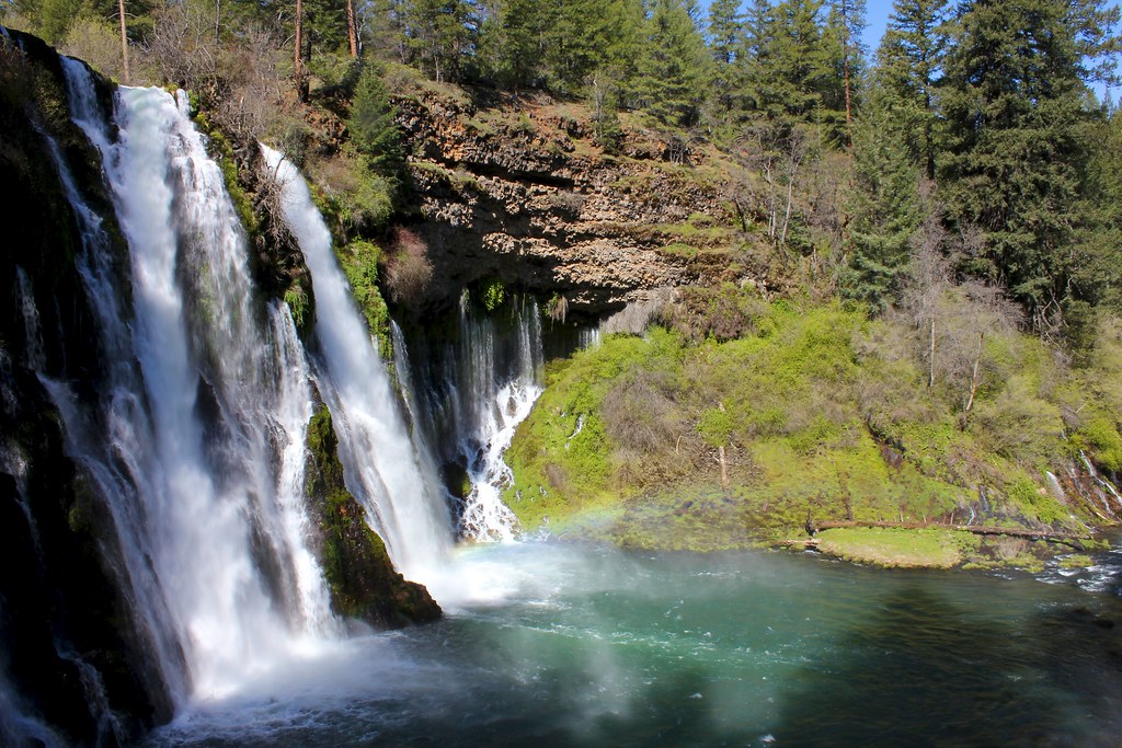
Burney Falls
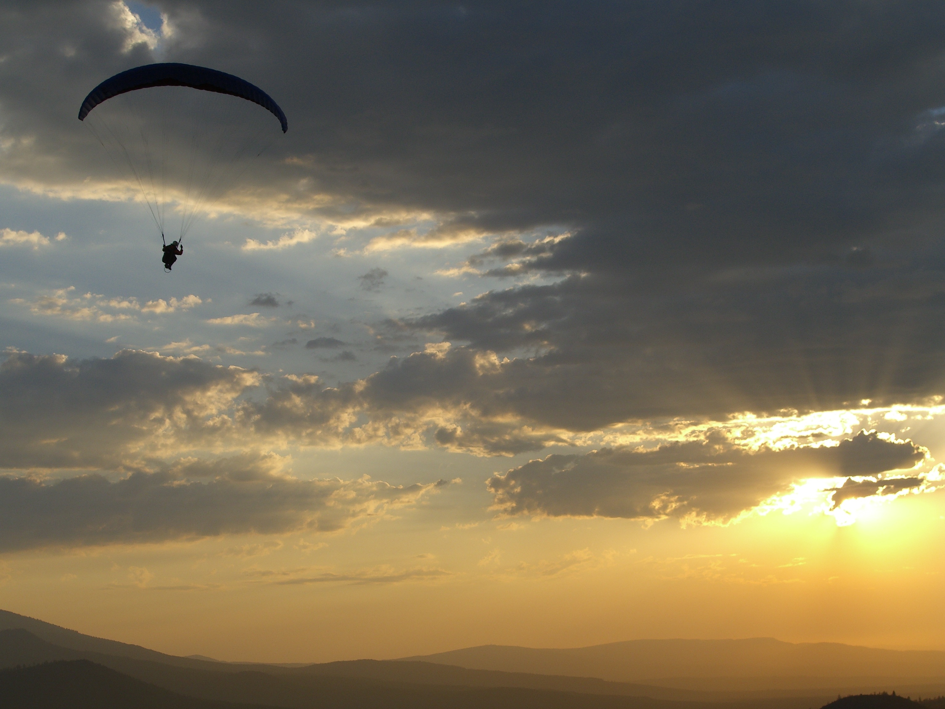
Free Flight - Hat Creek Rim
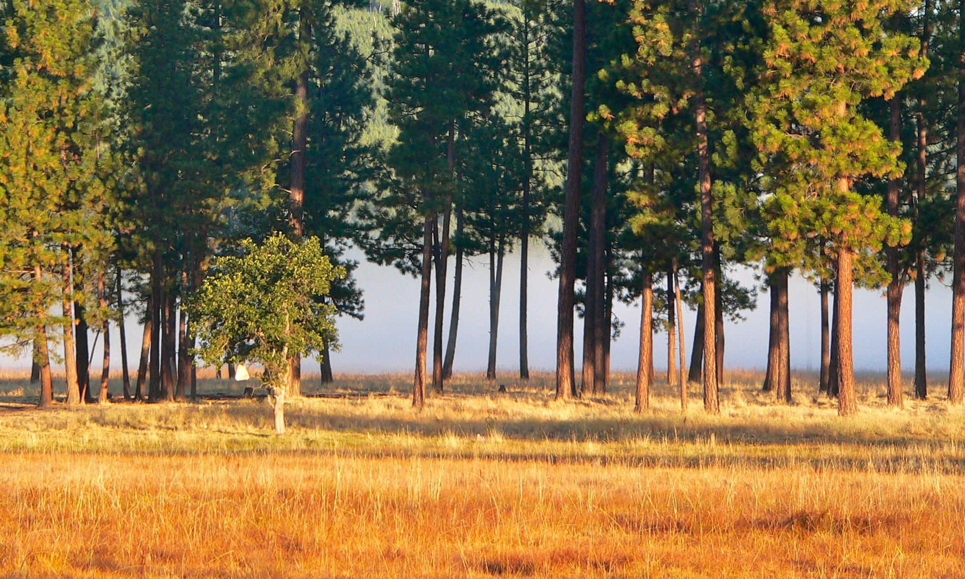
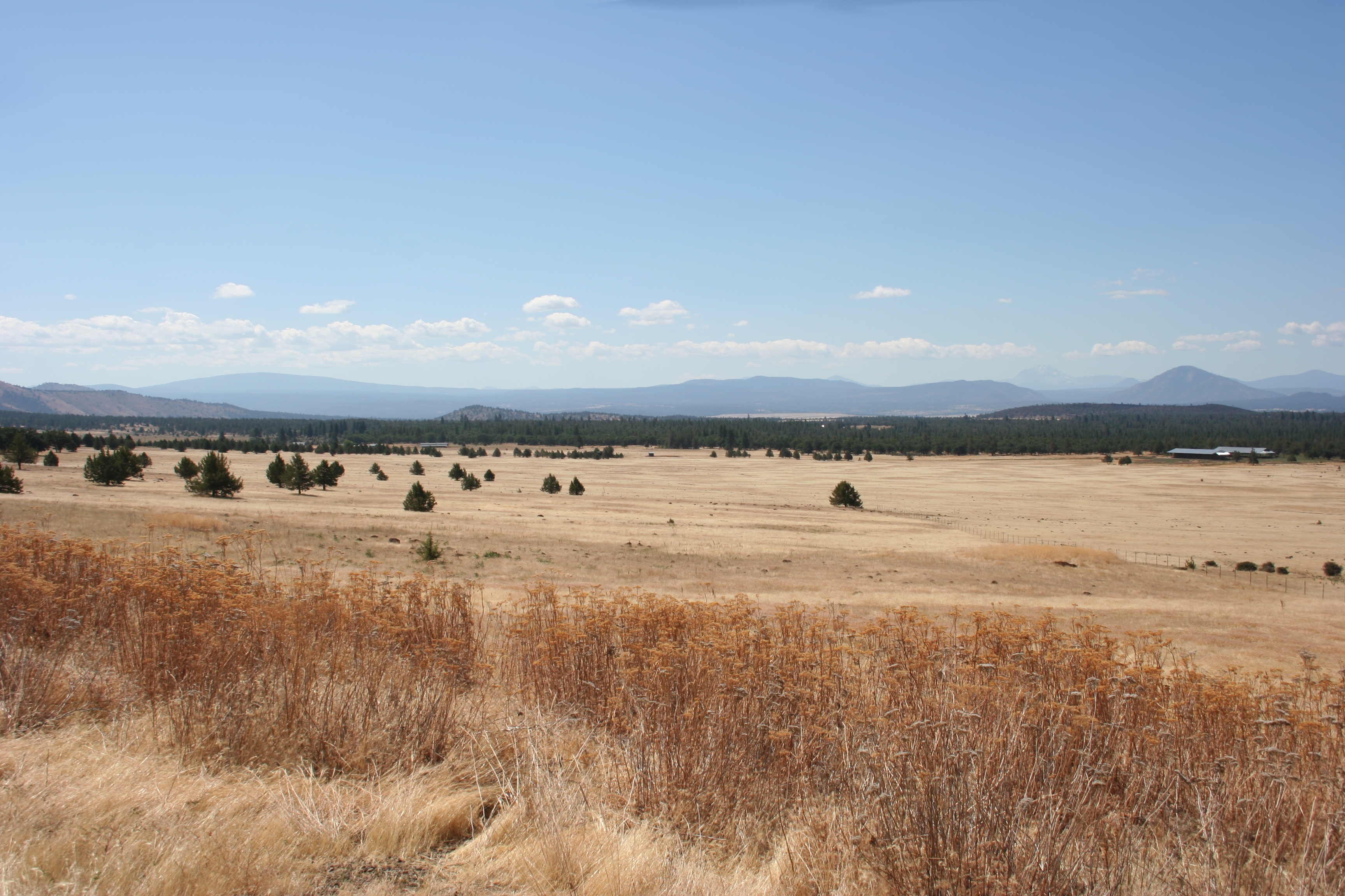
Volcanic Landscape
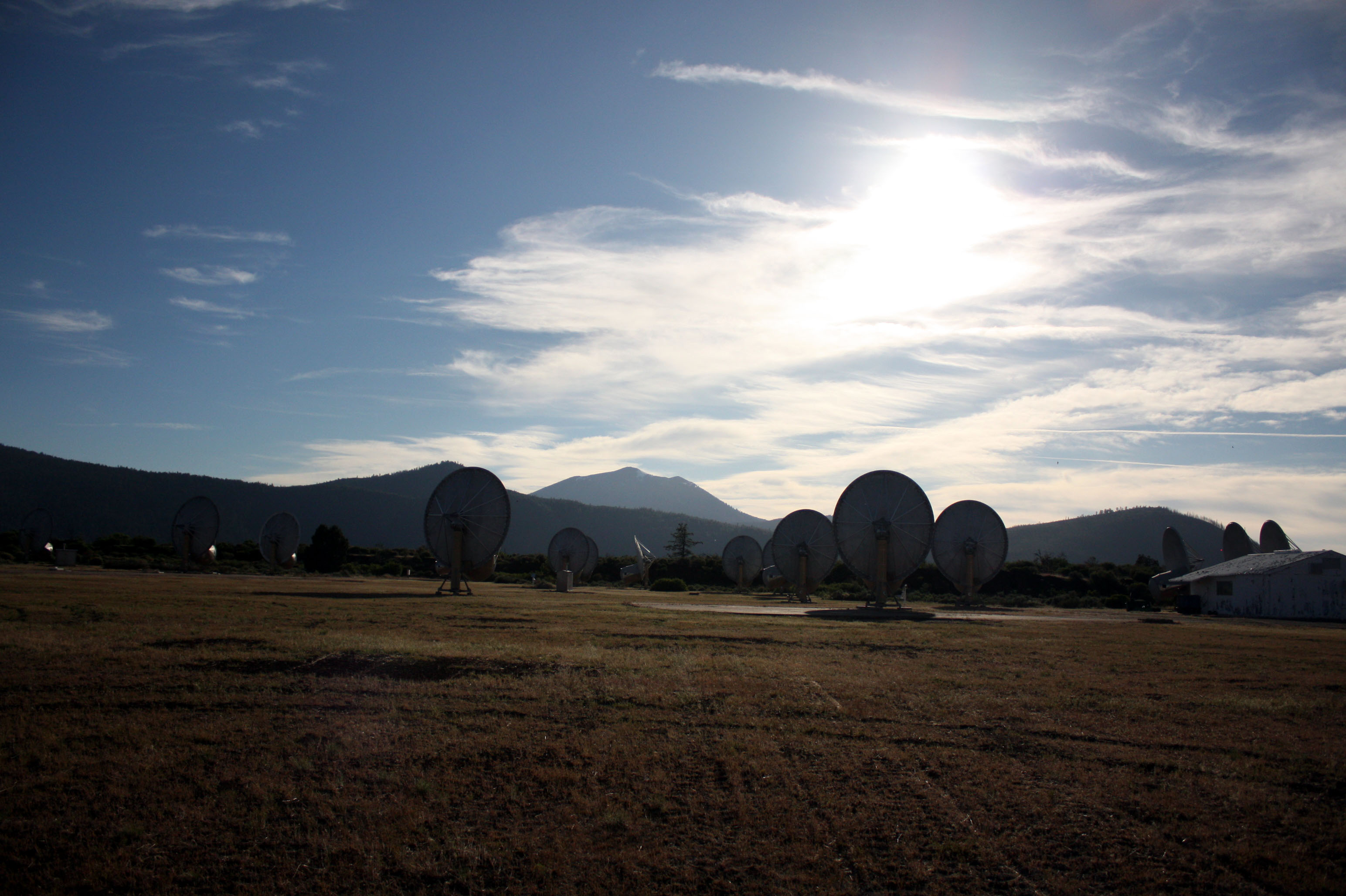
120520-185007a.HCRO antennas
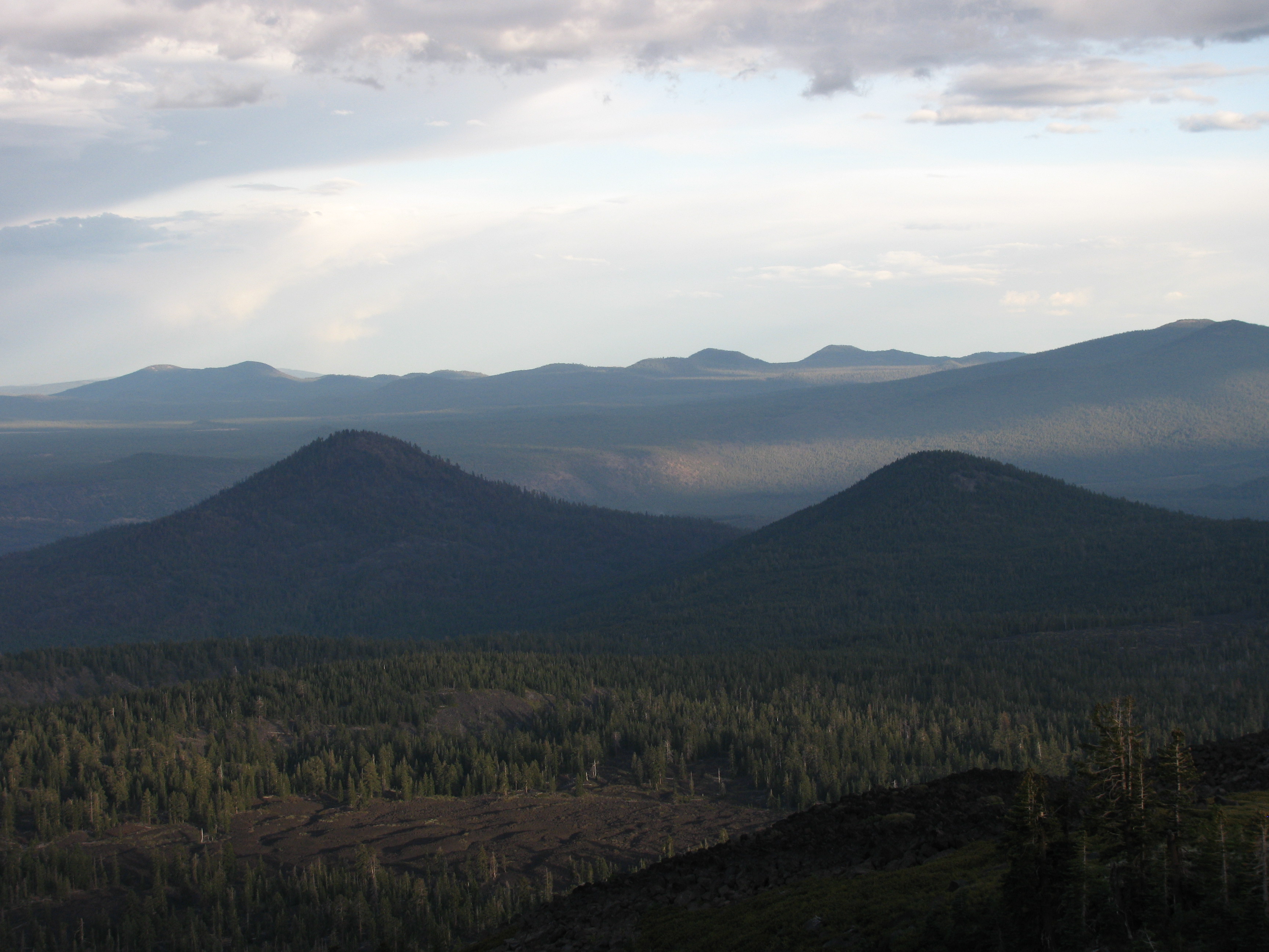
Freaner Pk
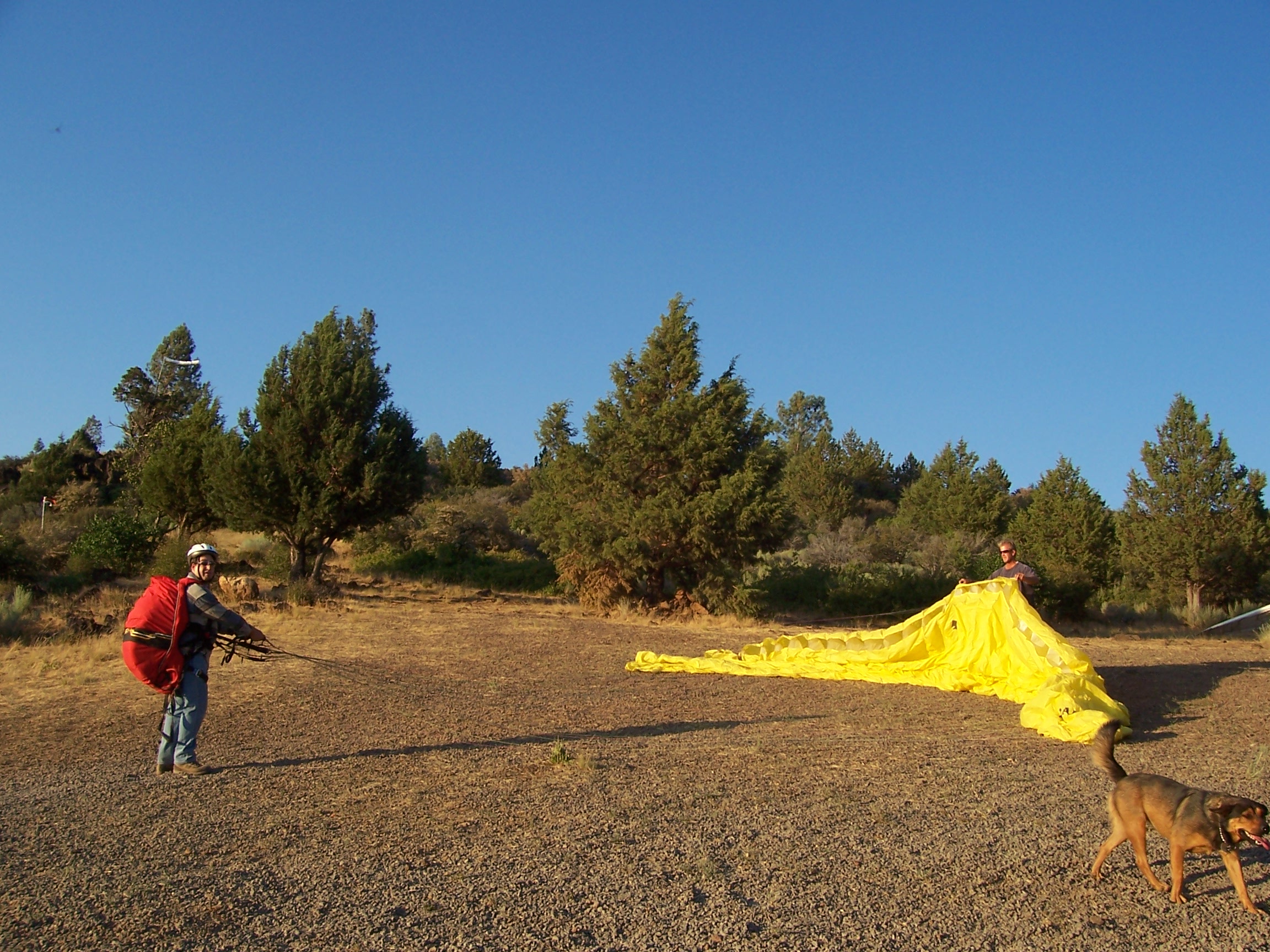
Chris launch 2
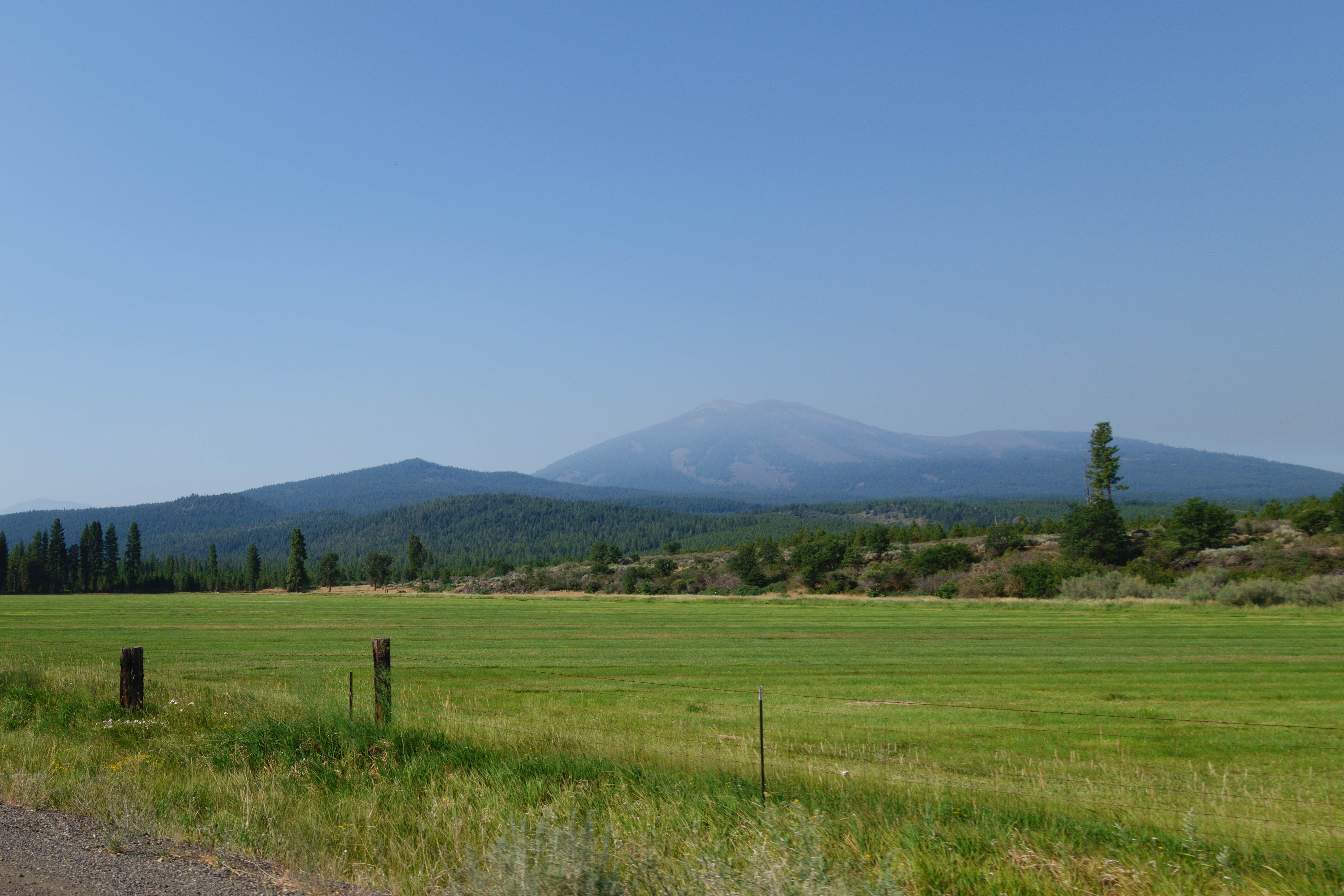
Shasta in the background
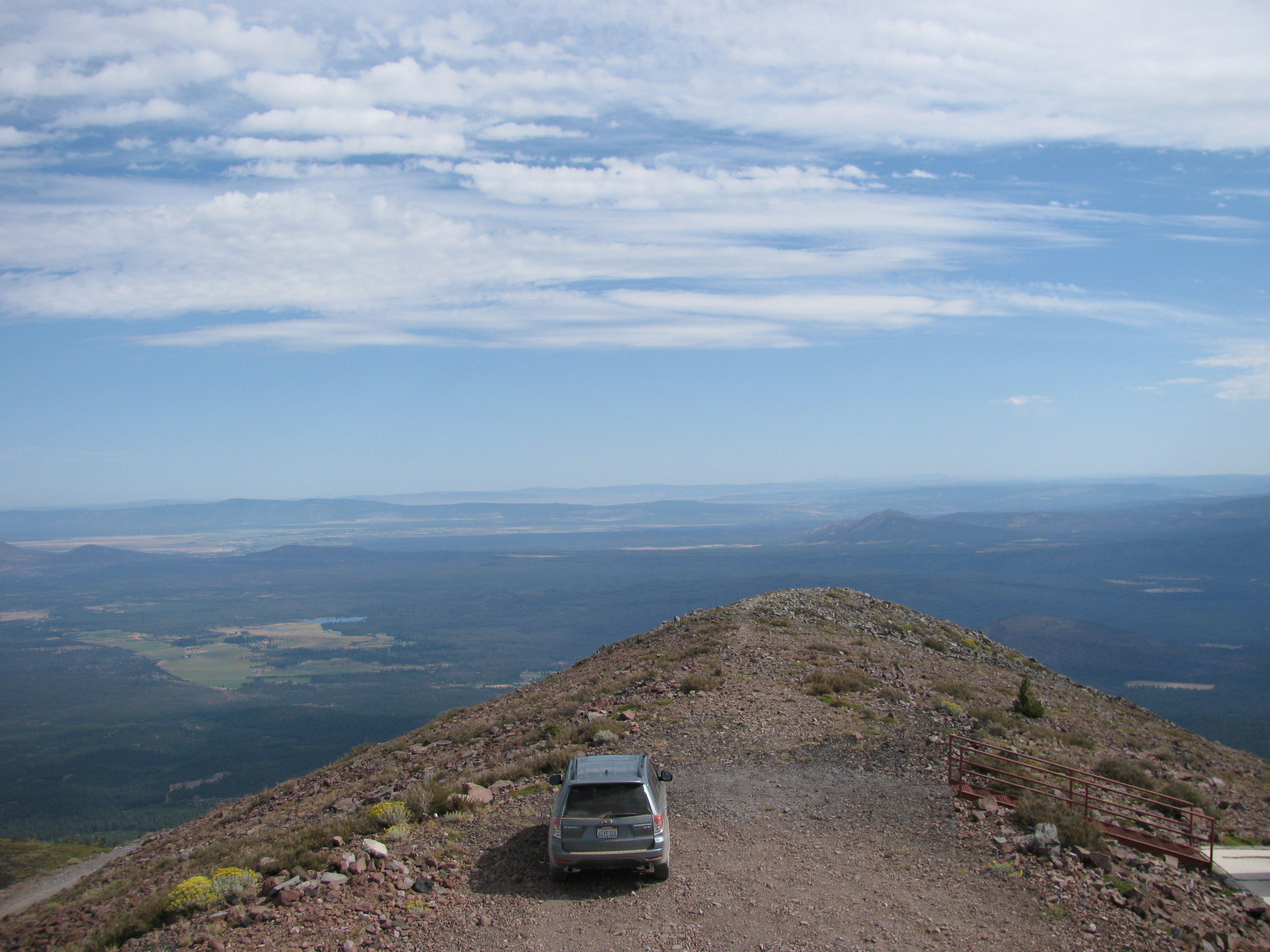
Top of Burney Mtn
Hat Creek LZ#1
Hat Creek LZ#1
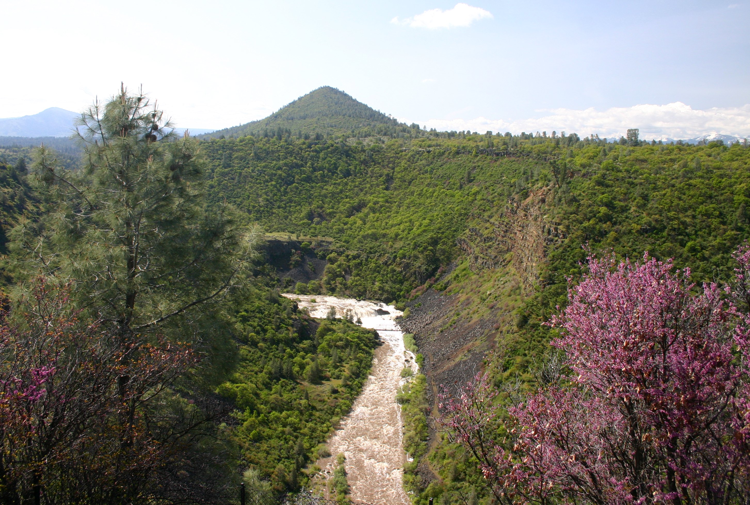
Springtime at Pit River Falls
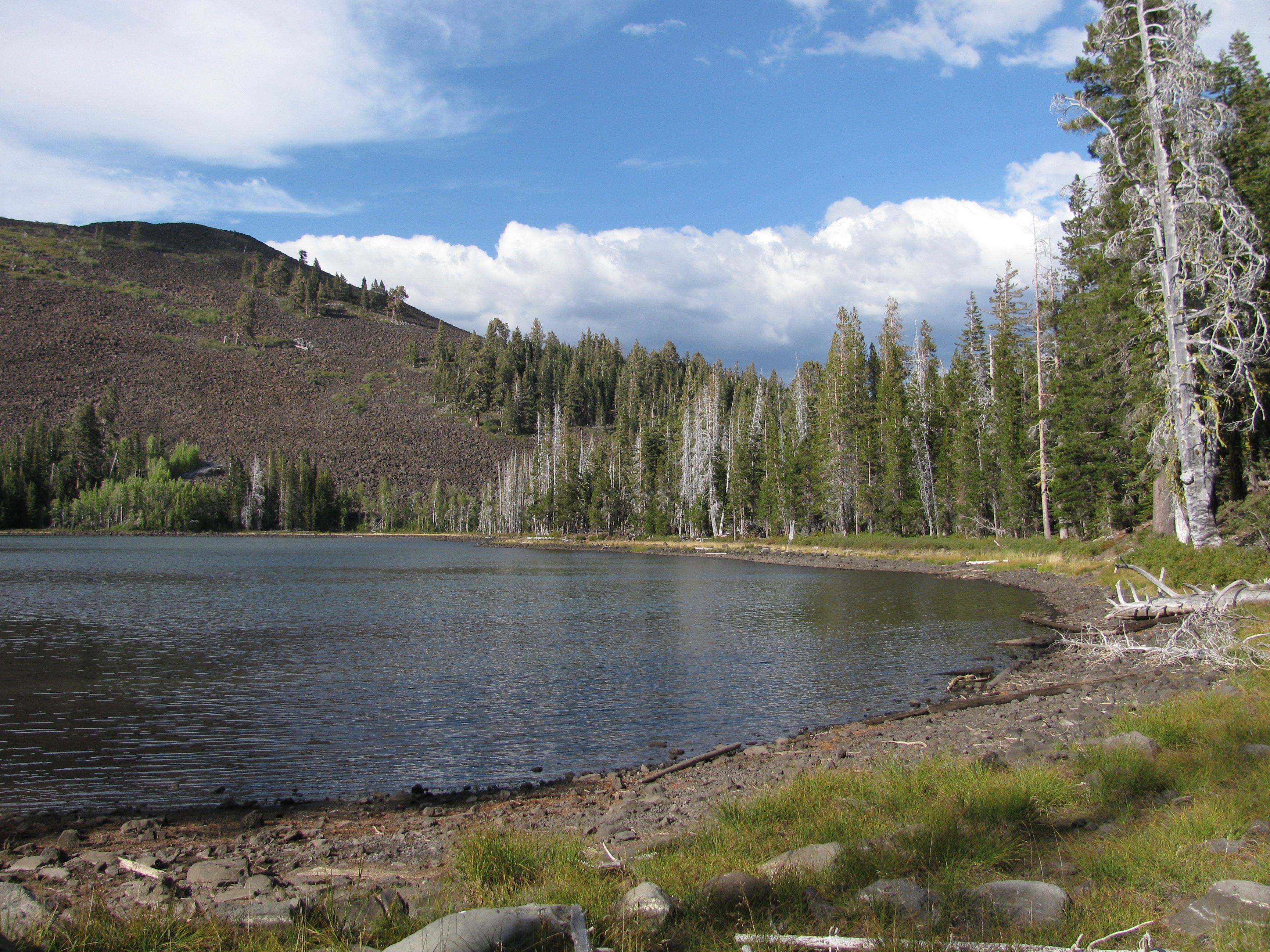
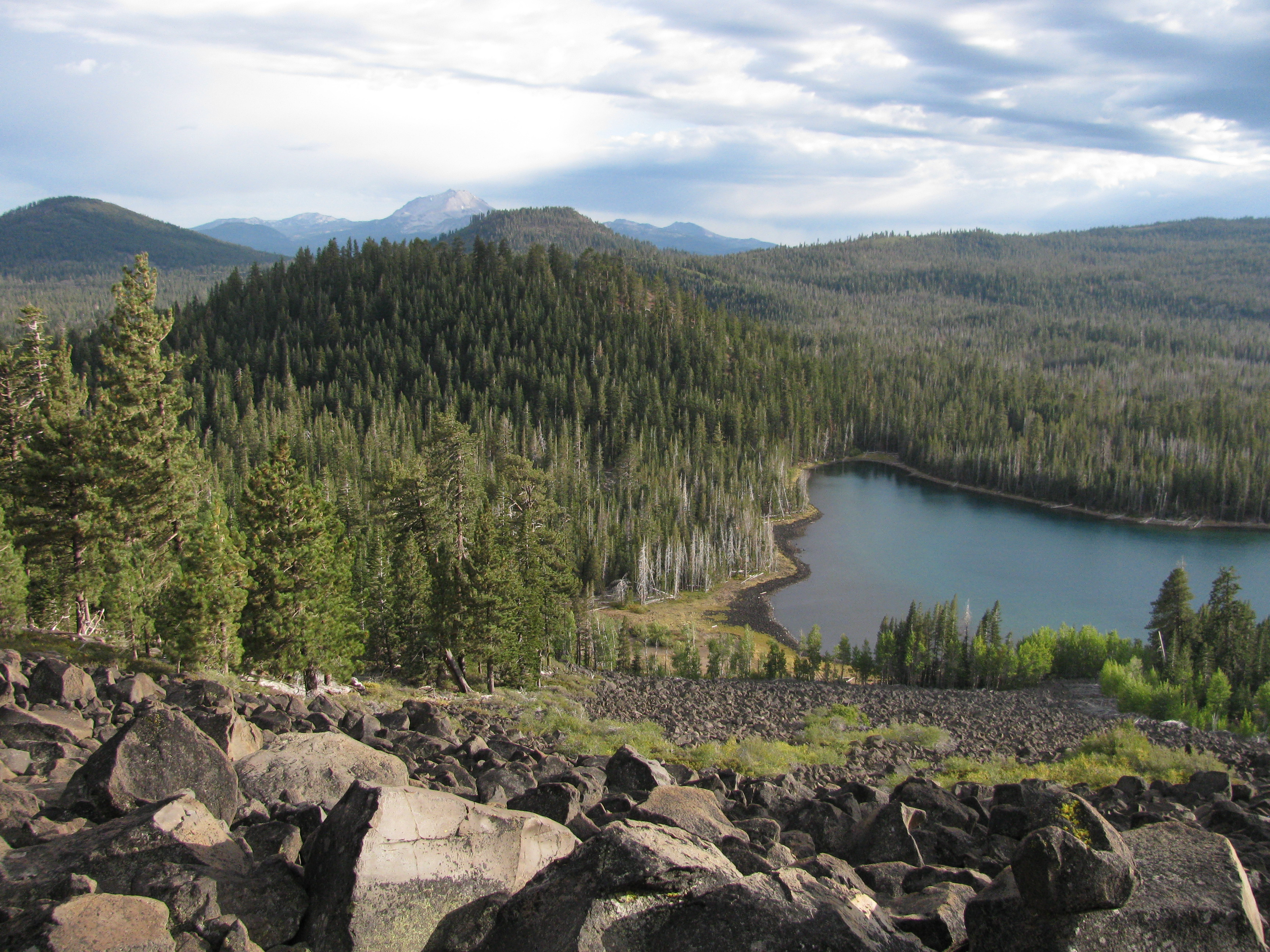
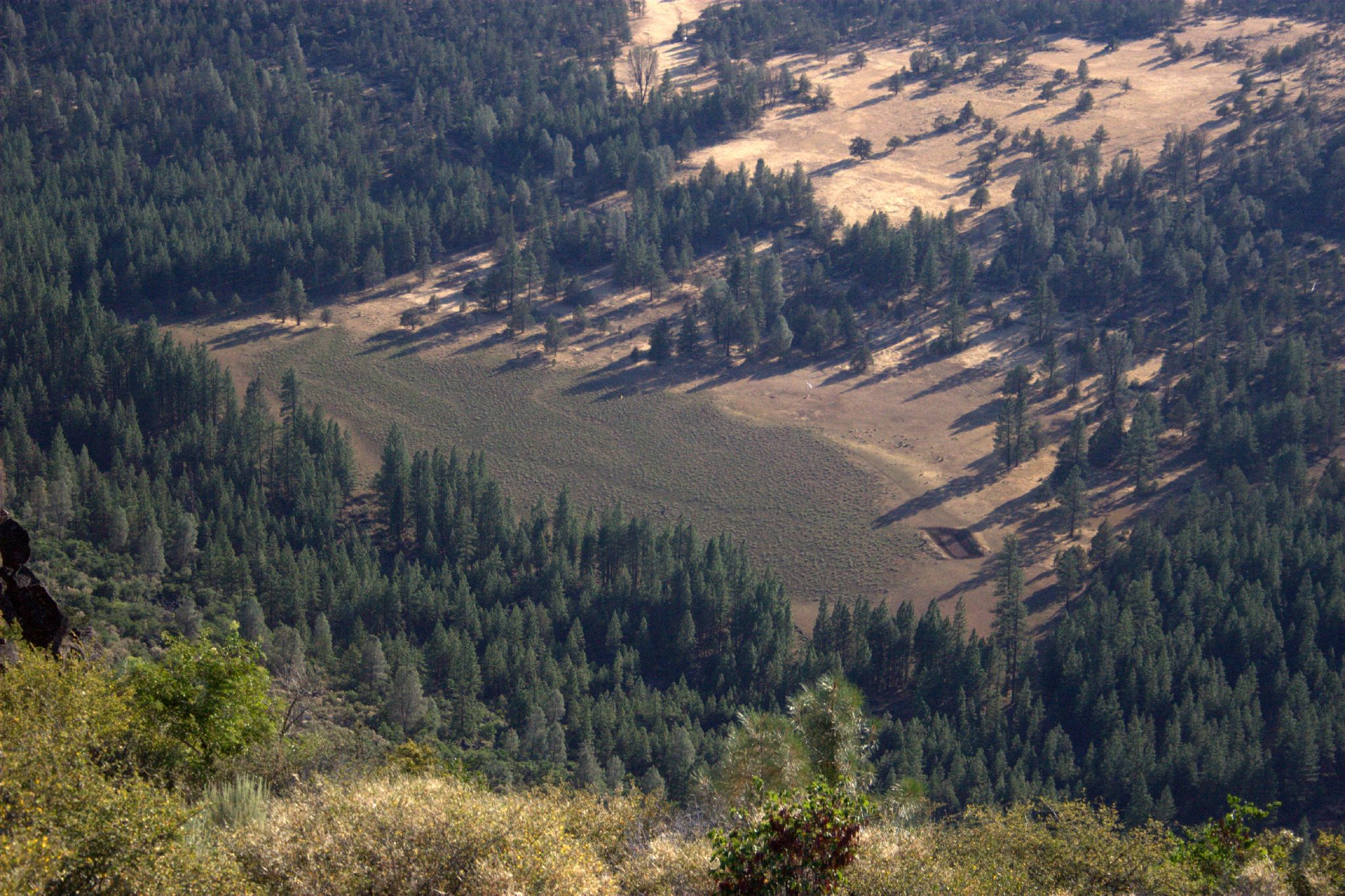
Eiler Lake and the bottom of Freaner Pk
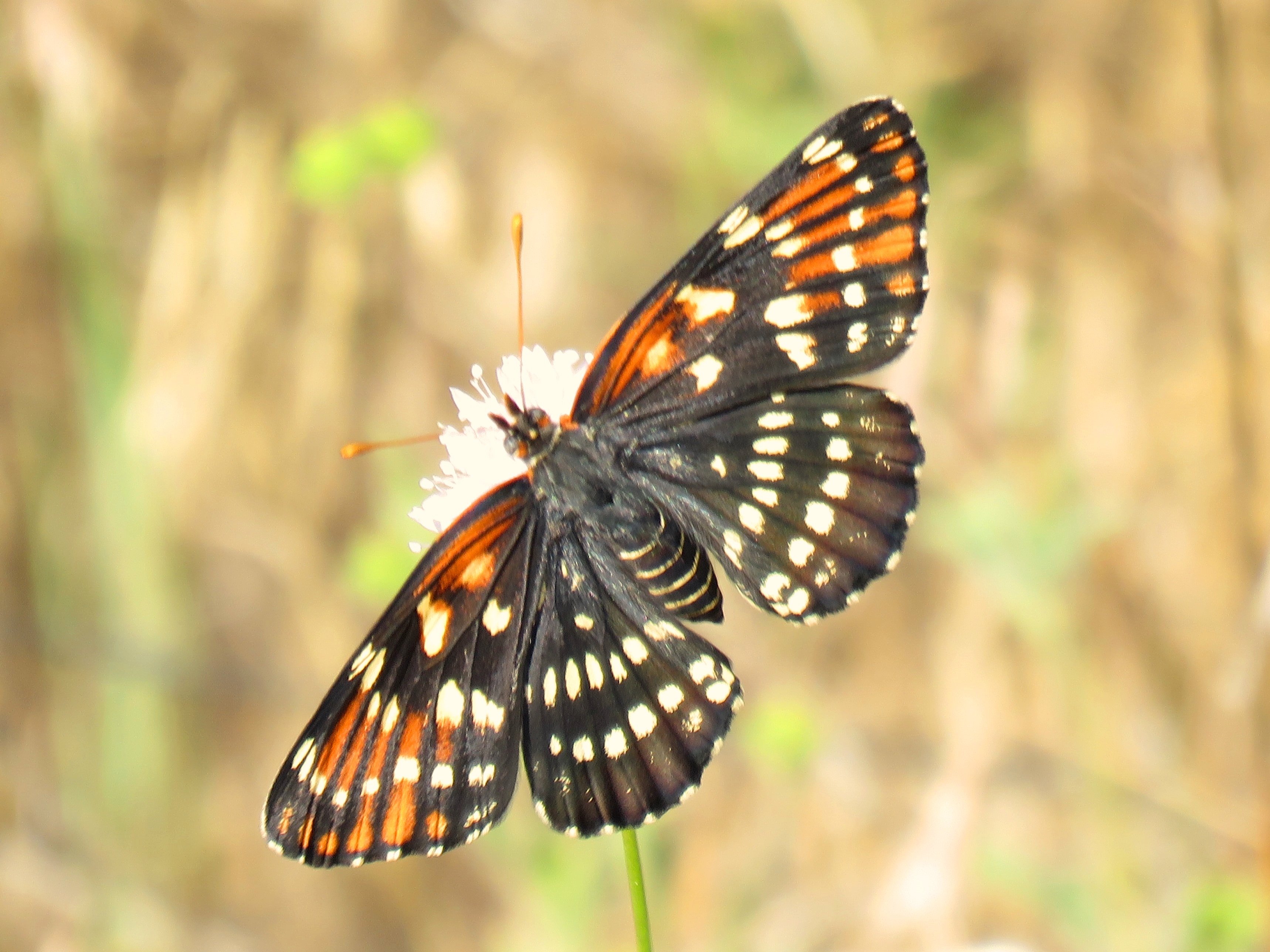
Leanira Checkerspot
Along Highway 139
Topographic Map of Volcano Lane, Volcano Ln, California, USA
Find elevation by address:

Places near Volcano Lane, Volcano Ln, California, USA:
Hat Creek
Doty Rd, Hat Creek, CA, USA
18320 Ca-89
Cassel
Thrush Road
Burney Mountain
Garden Ln, Burney, CA, USA
Burney
37243 Birch Ave
20088 Peridot Ln
37985 Clark Creek Rd
Clark Creek Rd, Burney, CA, USA
Fall River Mills
CA-, Fall River Mills, CA, USA
Burney Falls
Cayton Valley Rd, Burney, CA, USA
Mcarthur
28035 Fort Mountain Rd
McArthur Rd, Fall River Mills, CA, USA
Pittville Rd, McArthur, CA, USA
Recent Searches:
- Elevation of 15th Ave SE, St. Petersburg, FL, USA
- Elevation of Beall Road, Beall Rd, Florida, USA
- Elevation of Leguwa, Nepal
- Elevation of County Rd, Enterprise, AL, USA
- Elevation of Kolchuginsky District, Vladimir Oblast, Russia
- Elevation of Shustino, Vladimir Oblast, Russia
- Elevation of Lampiasi St, Sarasota, FL, USA
- Elevation of Elwyn Dr, Roanoke Rapids, NC, USA
- Elevation of Congressional Dr, Stevensville, MD, USA
- Elevation of Bellview Rd, McLean, VA, USA