Elevation of 92 Union Church Rd, Abbeville, SC, USA
Location: United States > South Carolina > Abbeville County > Abbeville >
Longitude: -82.393485
Latitude: 34.1553168
Elevation: 200m / 656feet
Barometric Pressure: 99KPa
Elevation Map:
Satellite Map:
Related Photos:
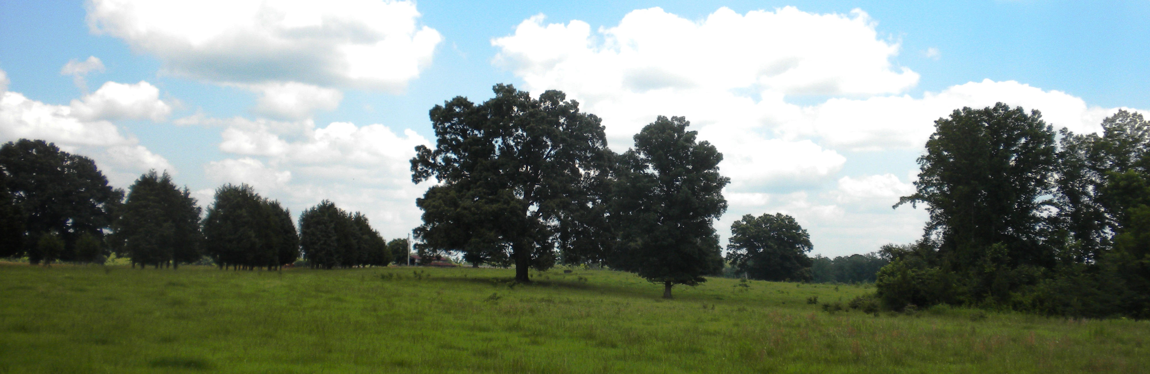
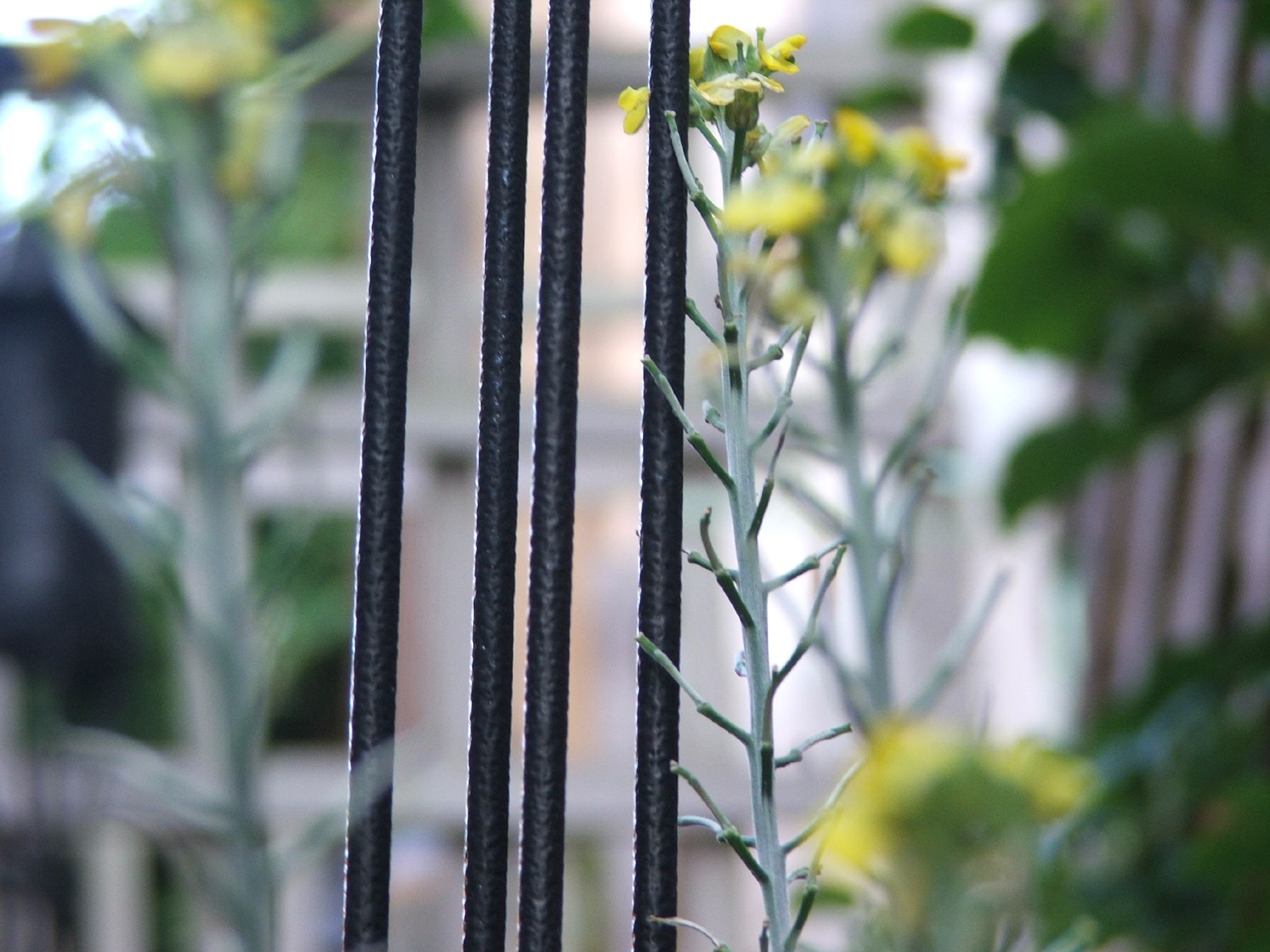
summer field
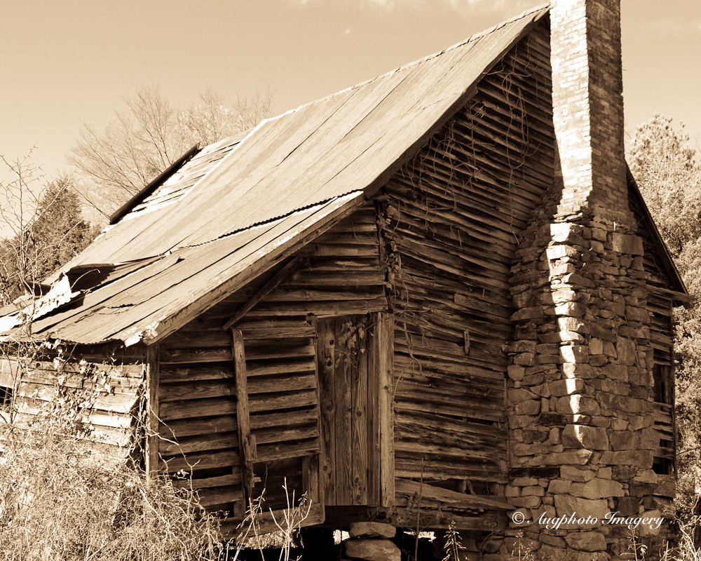
Back View
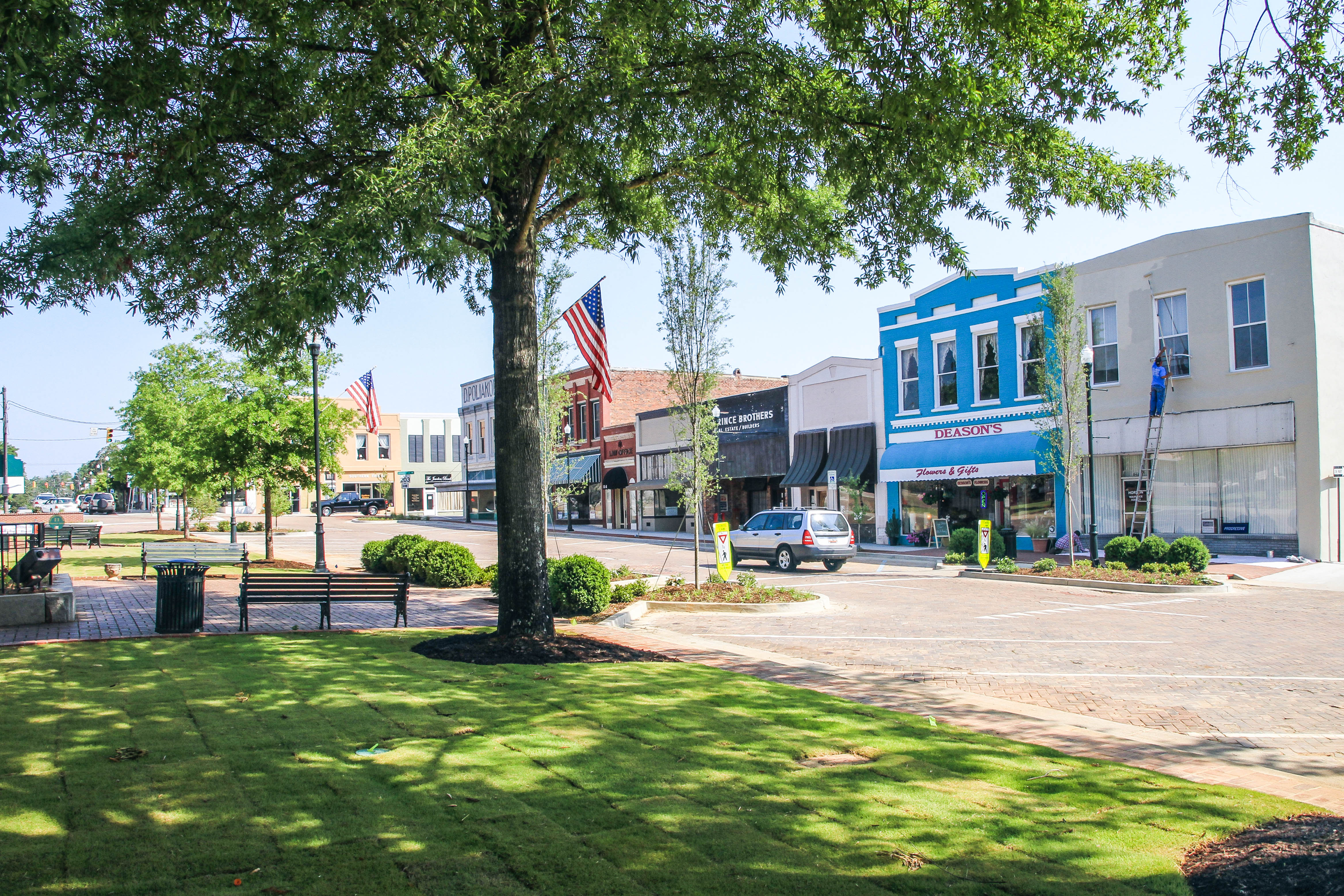
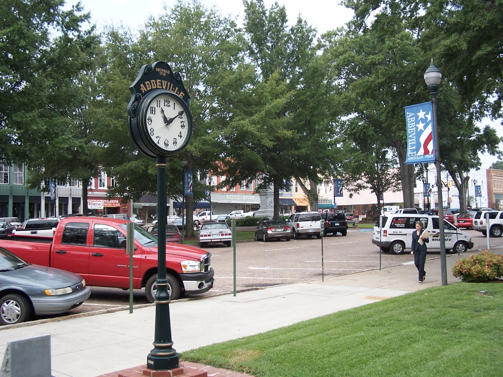
Abbeville S.C. - town square
Dangling 2
Dangling 1

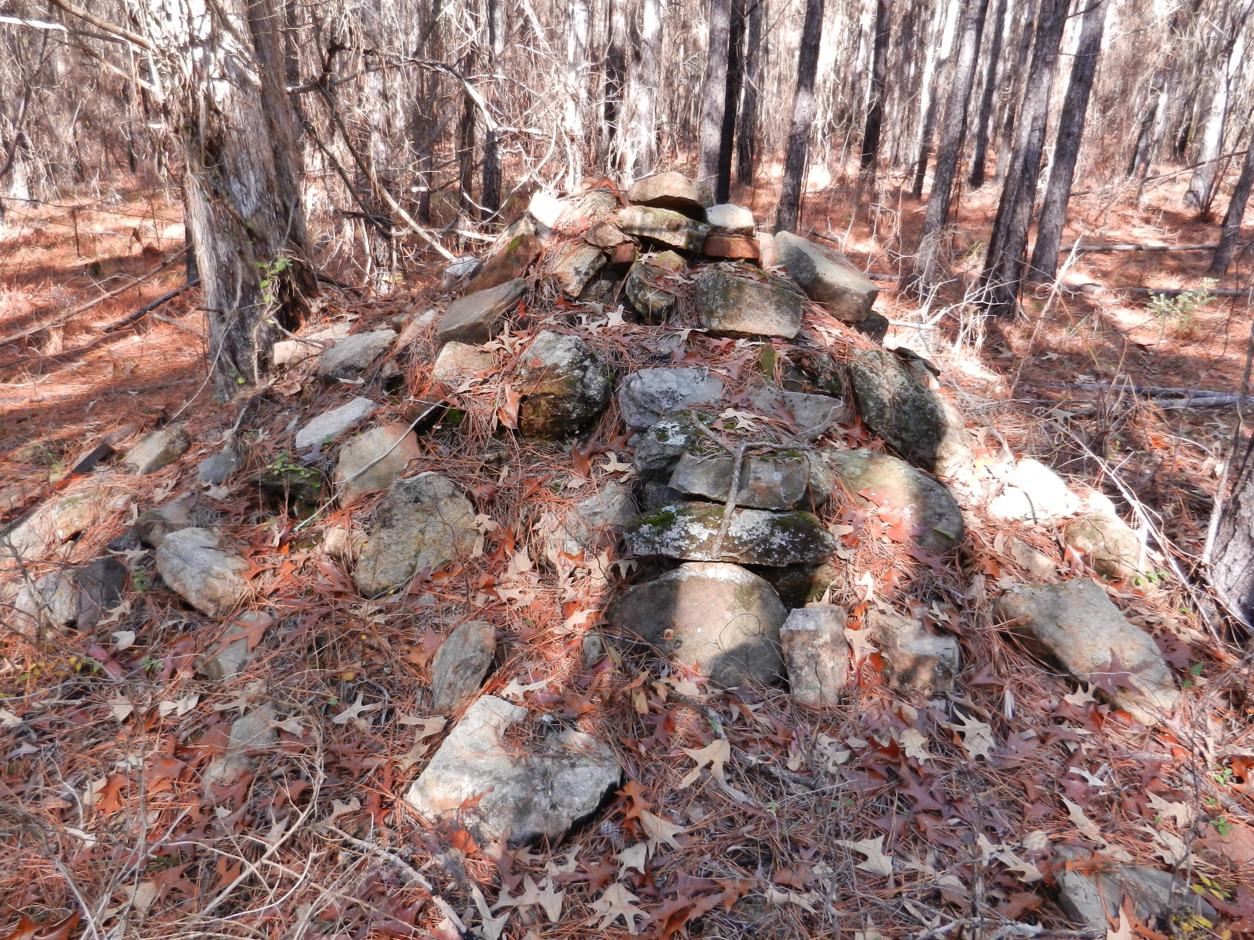
Gully 360
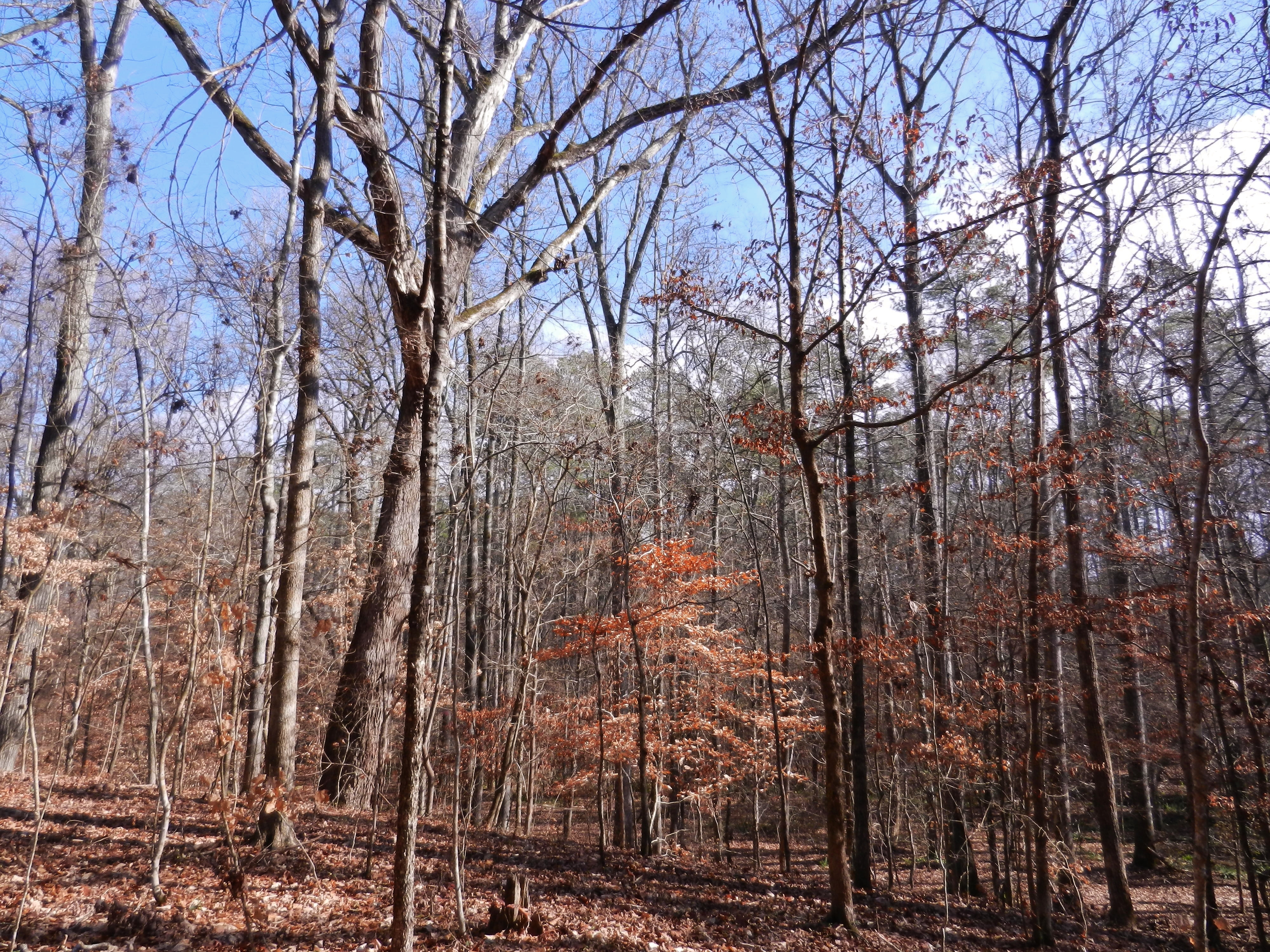
Sumter National Forest
Abbey's Alley
Abbeyville, SC 2007
Abbeville Square - View from the Opera House

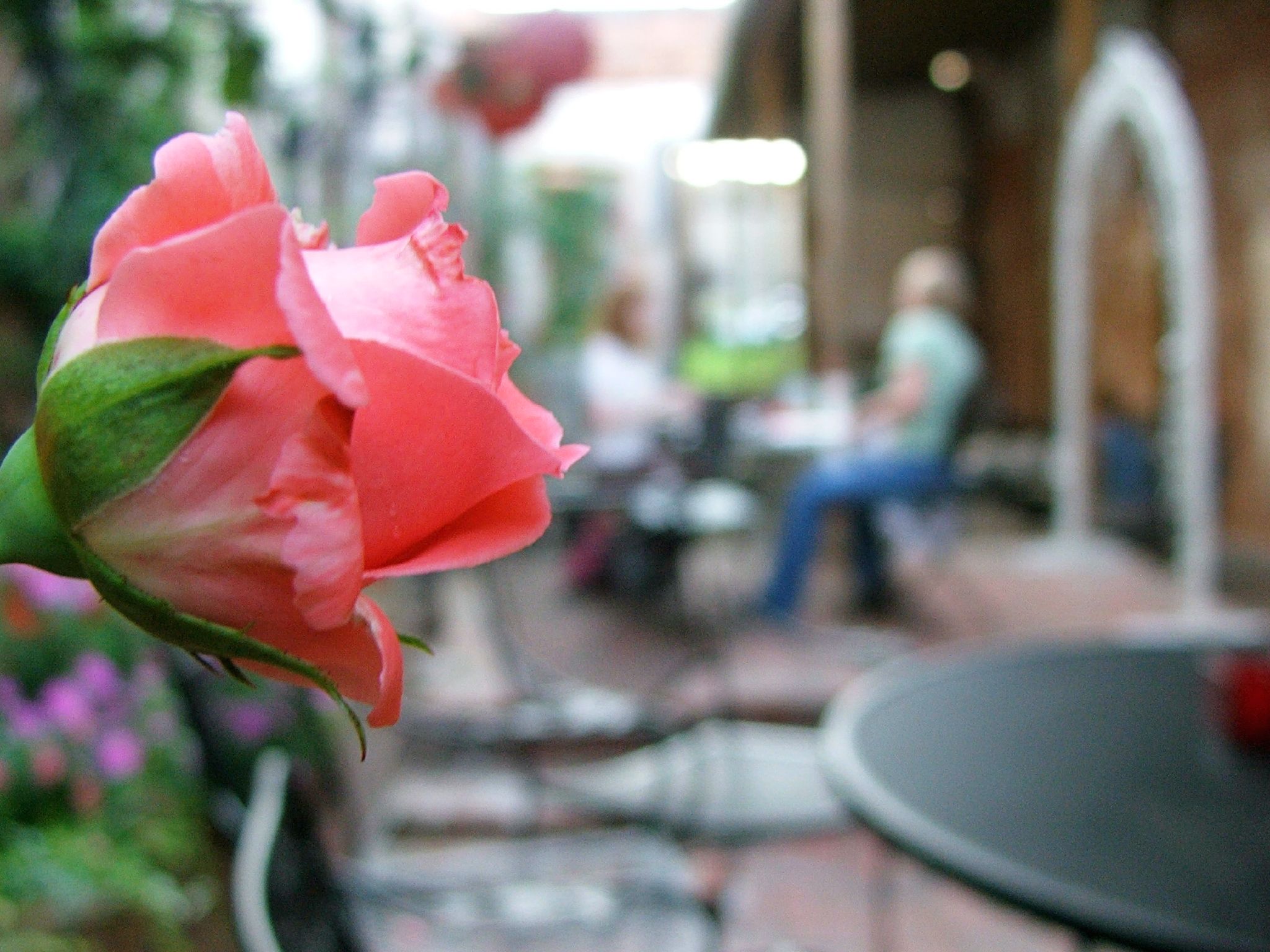
View from lunch on the square.
Chimney Throw
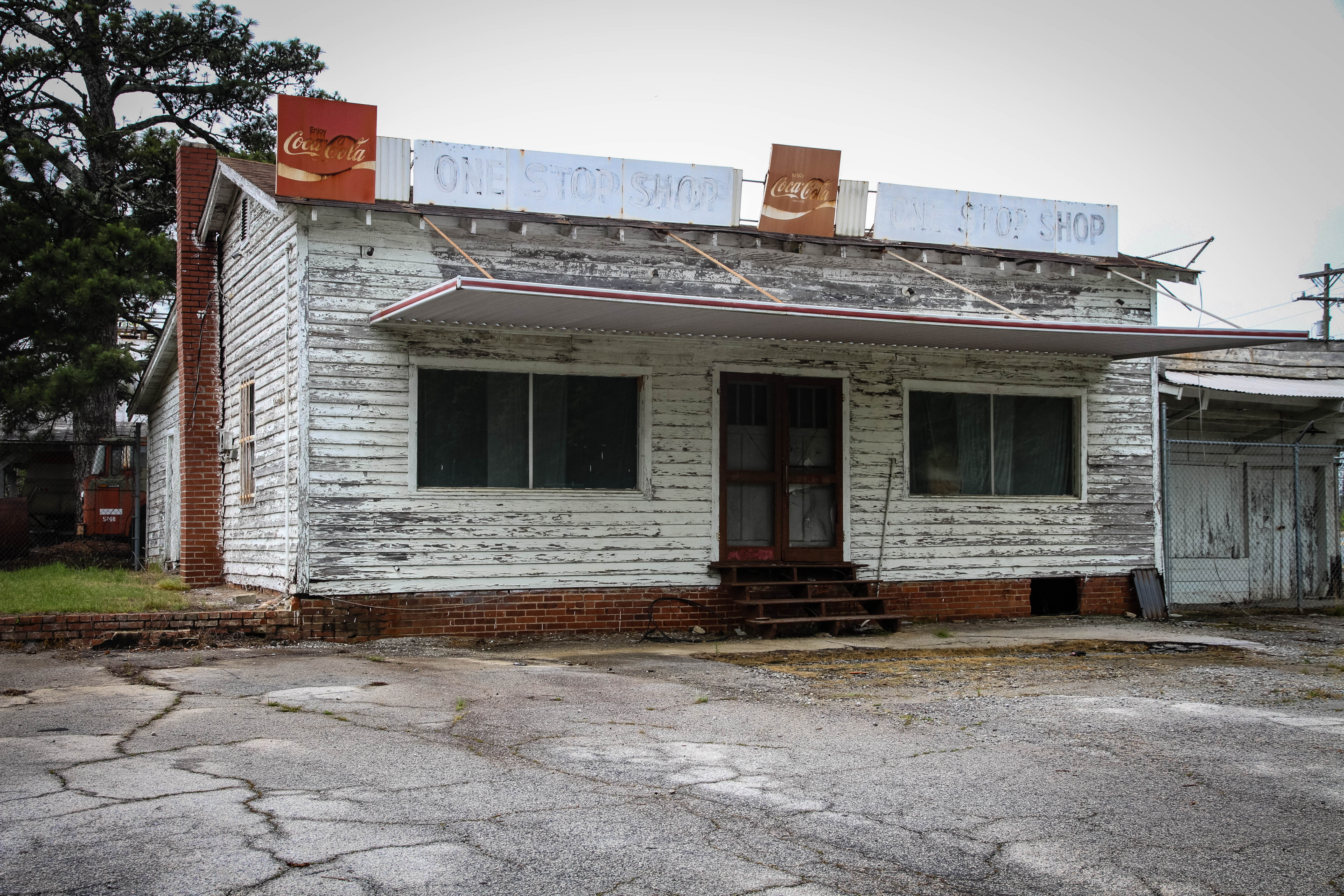
One Stop Shop - Abbeville S.C.
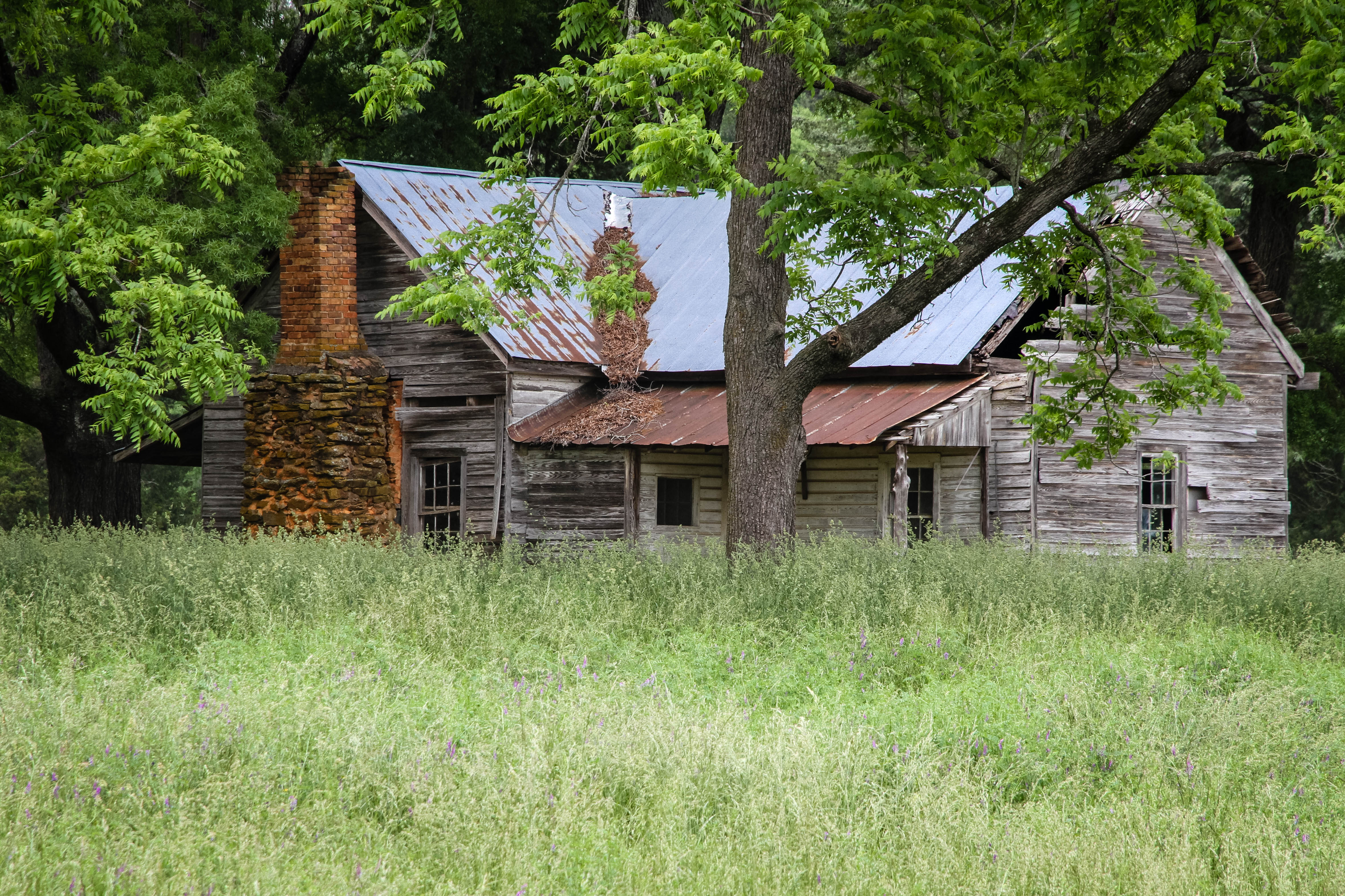
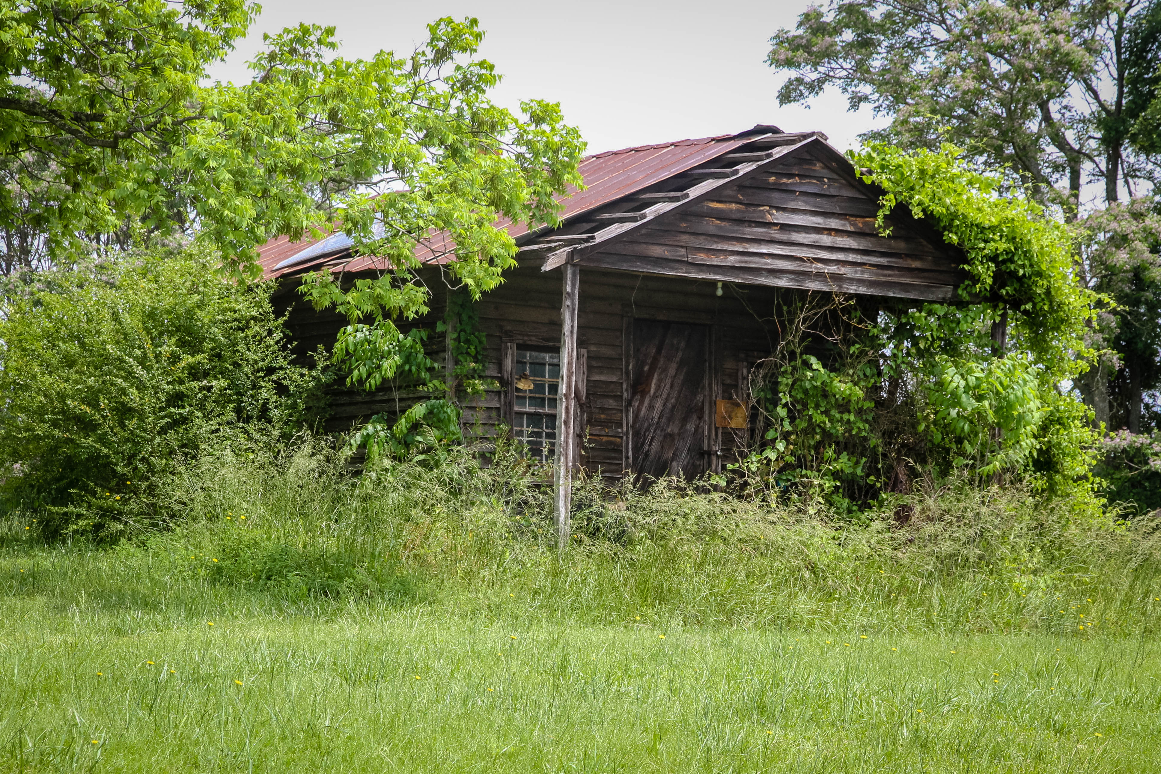
Old farm home - Abbeville S.C.
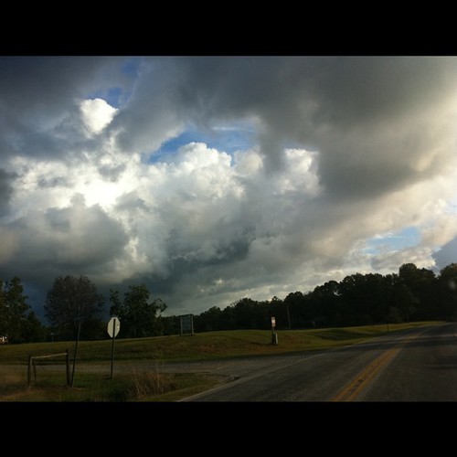
Some magnificent stormclouds on my drive this morning. Ever-changing.

100_2263.JPG
100_2264.JPG
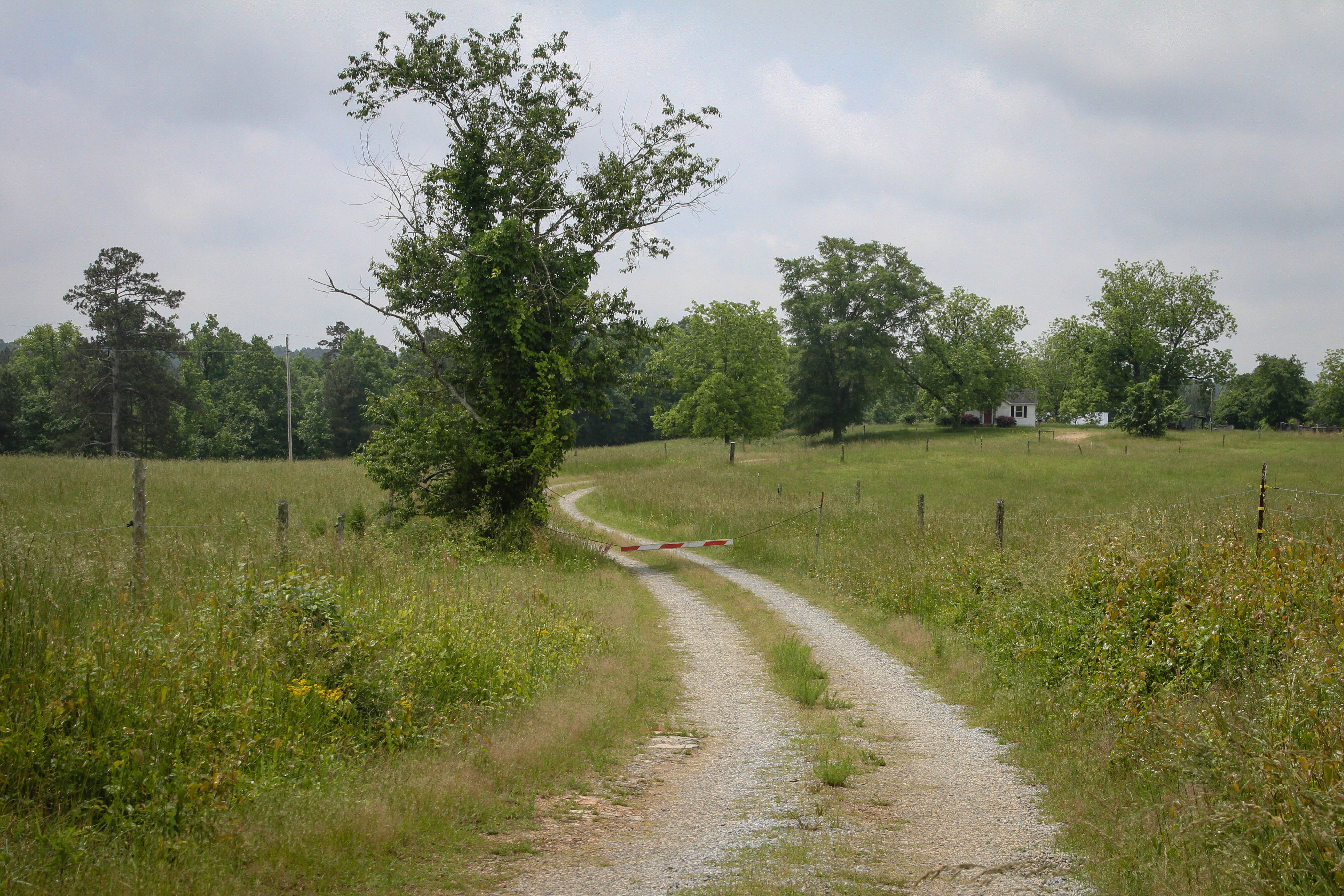
Gravel road - Abbeville S.C.
Calhoun Mil Dam
Old Gables Store - Abbeville S.C.
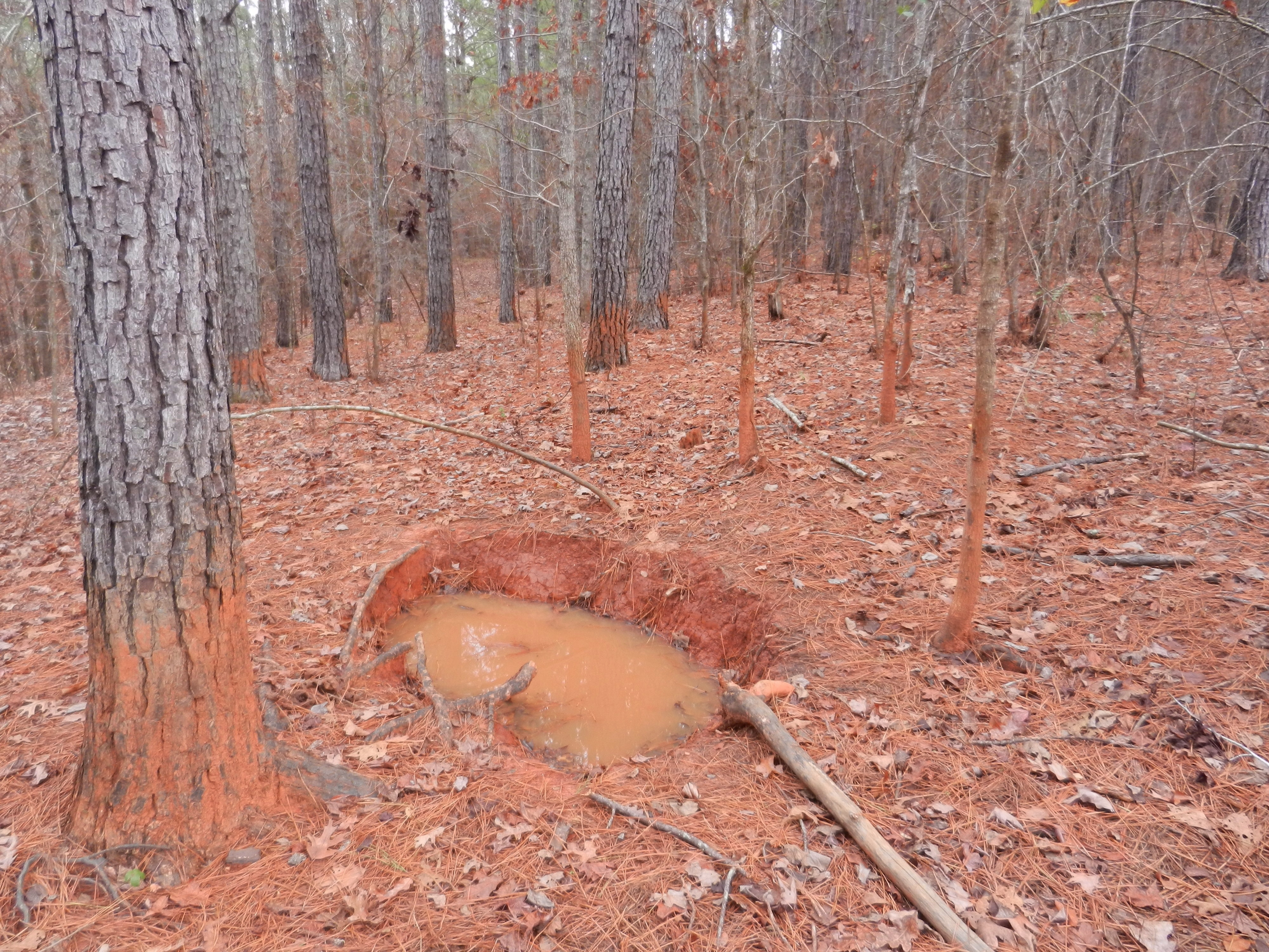
Pig Wallow
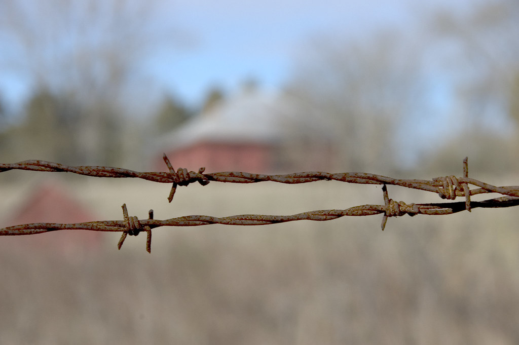
Barbed Wire at Calhoun Mill
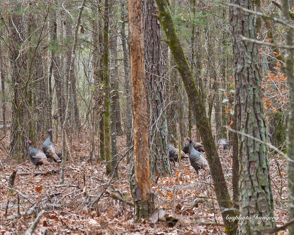
Many Turkeys

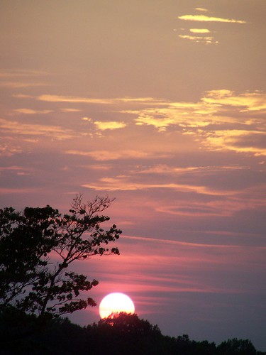
Sunset, clouds, phone lines n bugs.
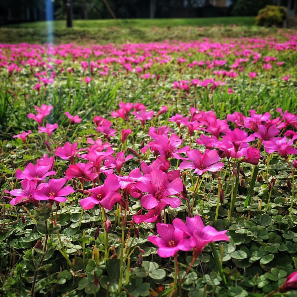
My purple lawn
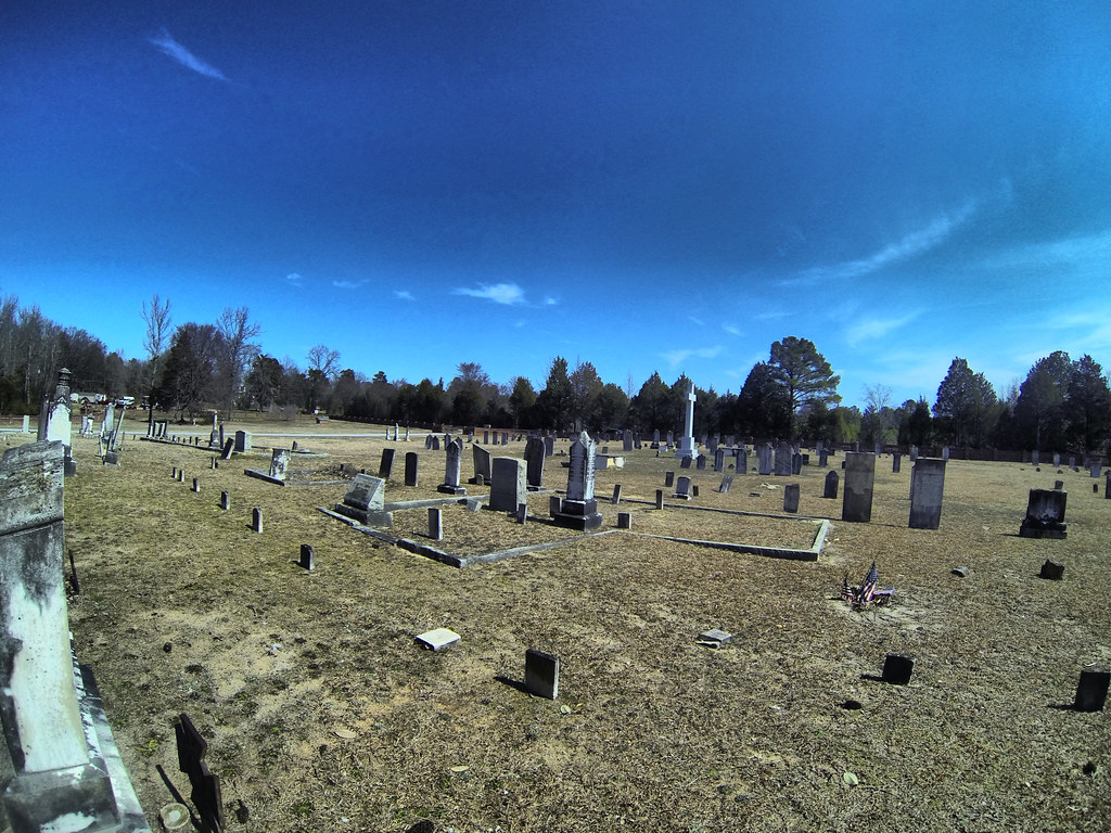
Cedar Springs Cemetery GoPro
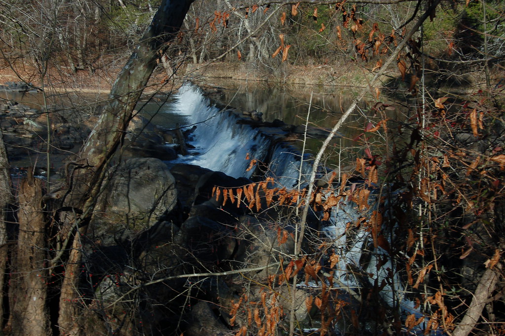
Calhoun Mil Dam
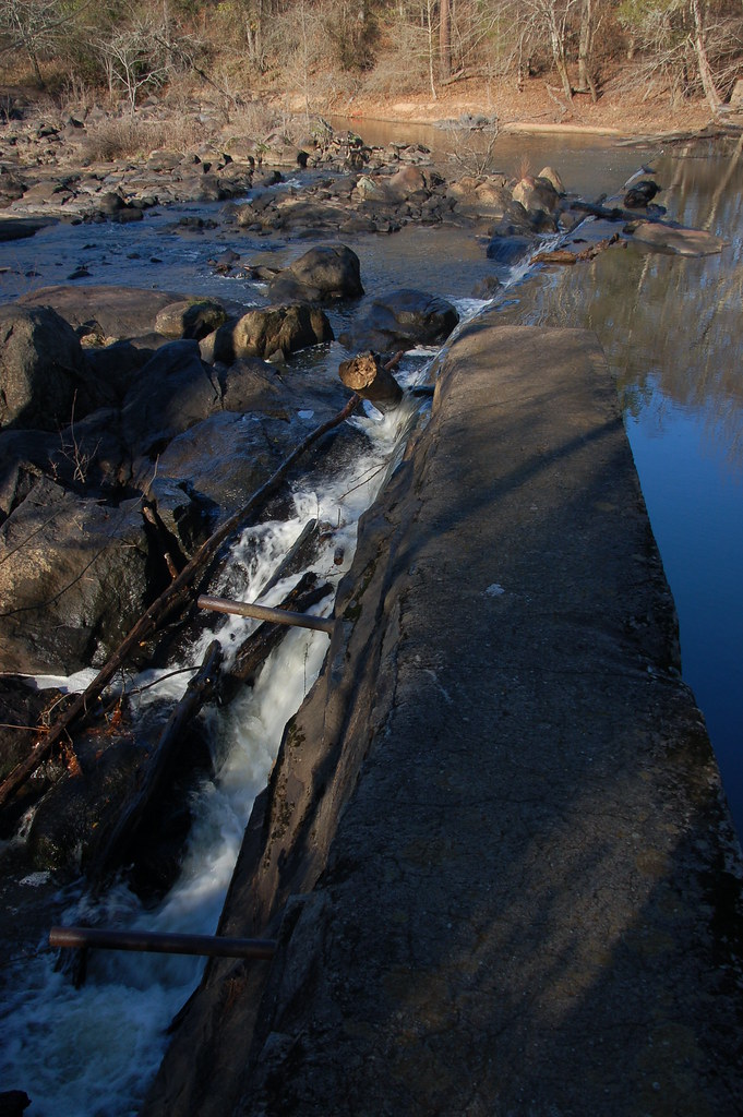
Calhoun Mil Dam
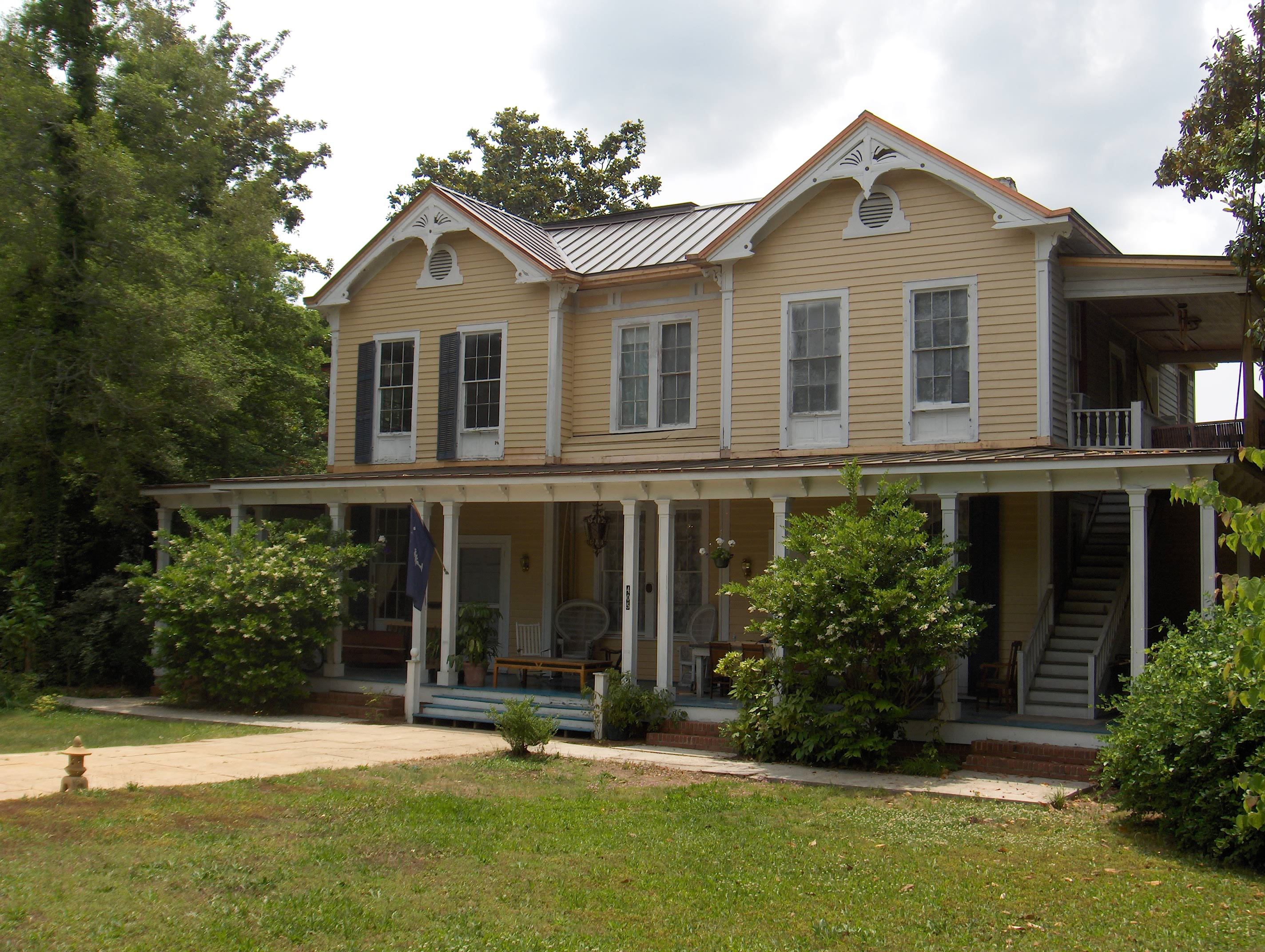
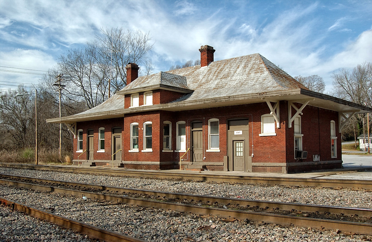
751 Smith Visanska House Img_3924
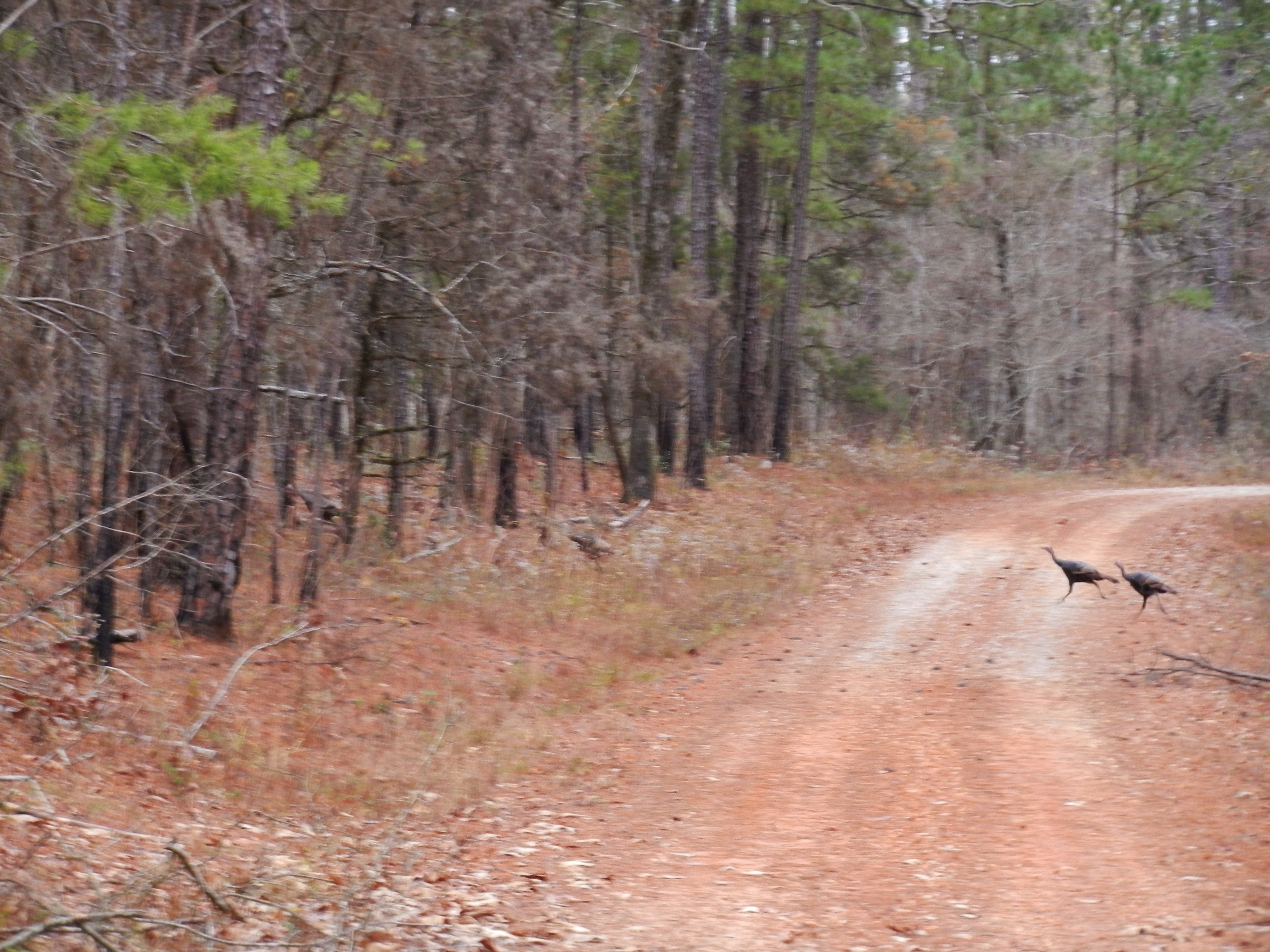
Wild Turkey
Topographic Map of 92 Union Church Rd, Abbeville, SC, USA
Find elevation by address:

Places near 92 Union Church Rd, Abbeville, SC, USA:
Abbeville
1102 N Main St
228 Faith Ln
1780 Stevenson Rd
Abbeville County
Candy Branch Shooting Range
Old Hodges Rd, Abbeville, SC, USA
County Rd S-1-3, Abbeville, SC, USA
Old Hodges Rd, Abbeville, SC, USA
316 County Rd S-1-163
1233 John's Creek Rd
McCormick Hwy, Bradley, SC, USA
1201 Puckett Town Rd
5273 Old Calhoun Falls Rd
5723 Old Calhoun Falls Rd
210 Butler Rd
2117 Hwy 72 W
Due West
Richey Rd, McCormick, SC, USA
314 Gatewood Dr
Recent Searches:
- Elevation of 7 Waterfall Way, Tomball, TX, USA
- Elevation of SW 57th Ave, Portland, OR, USA
- Elevation of Crocker Dr, Vacaville, CA, USA
- Elevation of Pu Ngaol Community Meeting Hall, HWHM+3X7, Krong Saen Monourom, Cambodia
- Elevation of Royal Ontario Museum, Queens Park, Toronto, ON M5S 2C6, Canada
- Elevation of Groblershoop, South Africa
- Elevation of Power Generation Enterprises | Industrial Diesel Generators, Oak Ave, Canyon Country, CA, USA
- Elevation of Chesaw Rd, Oroville, WA, USA
- Elevation of N, Mt Pleasant, UT, USA
- Elevation of 6 Rue Jules Ferry, Beausoleil, France