Elevation of Abbeville, SC, USA
Location: United States > South Carolina > Abbeville County >
Longitude: -82.379014
Latitude: 34.1781719
Elevation: 183m / 600feet
Barometric Pressure: 99KPa
Elevation Map:
Satellite Map:
Related Photos:
summer field
Back View
Dangling 1
Dangling 2
Abbey's Alley
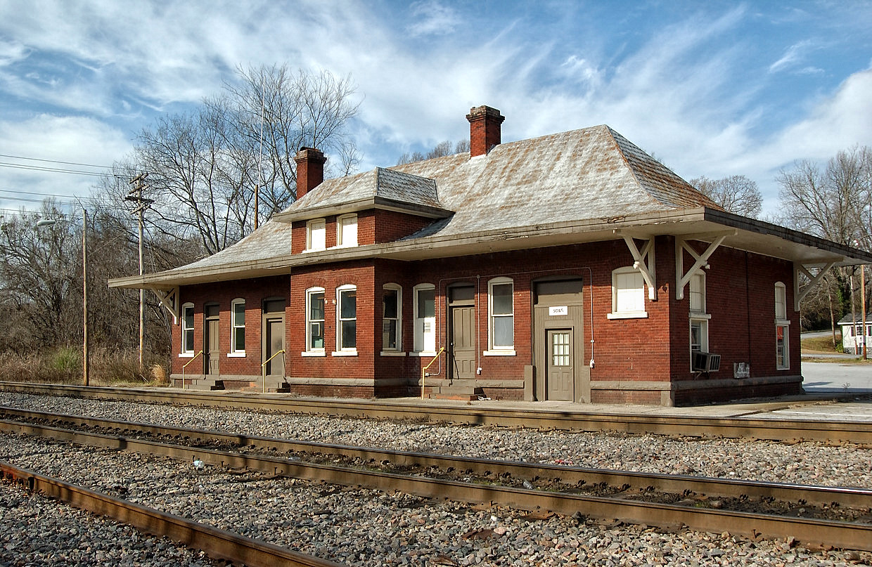
Abbeyville, SC 2007
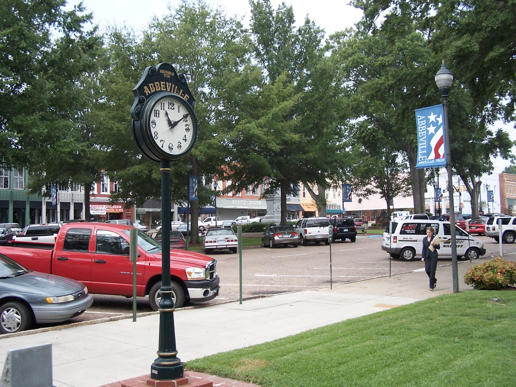
Abbeville Square - View from the Opera House
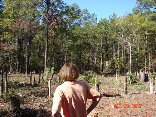
House site before stumps removed

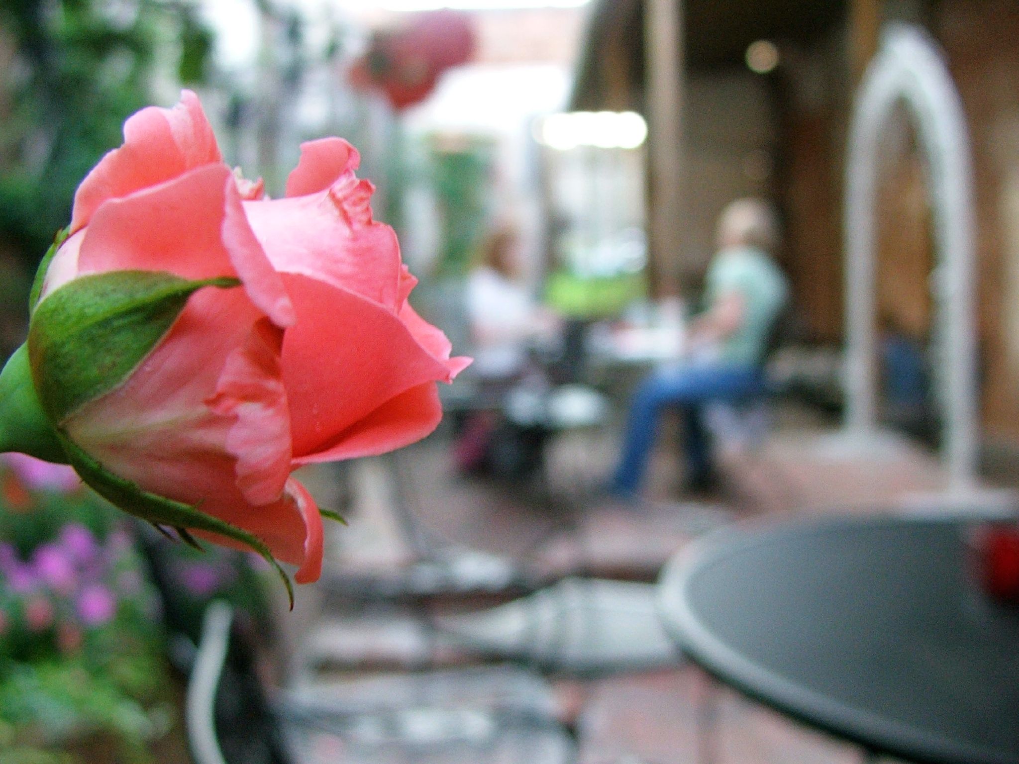
View from lunch on the square.

Gully 360
Sumter National Forest
Chimney Throw
Some magnificent stormclouds on my drive this morning. Ever-changing.

100_2263.JPG

100_2264.JPG
Morning fullopromise.

Sunset, clouds, phone lines n bugs.
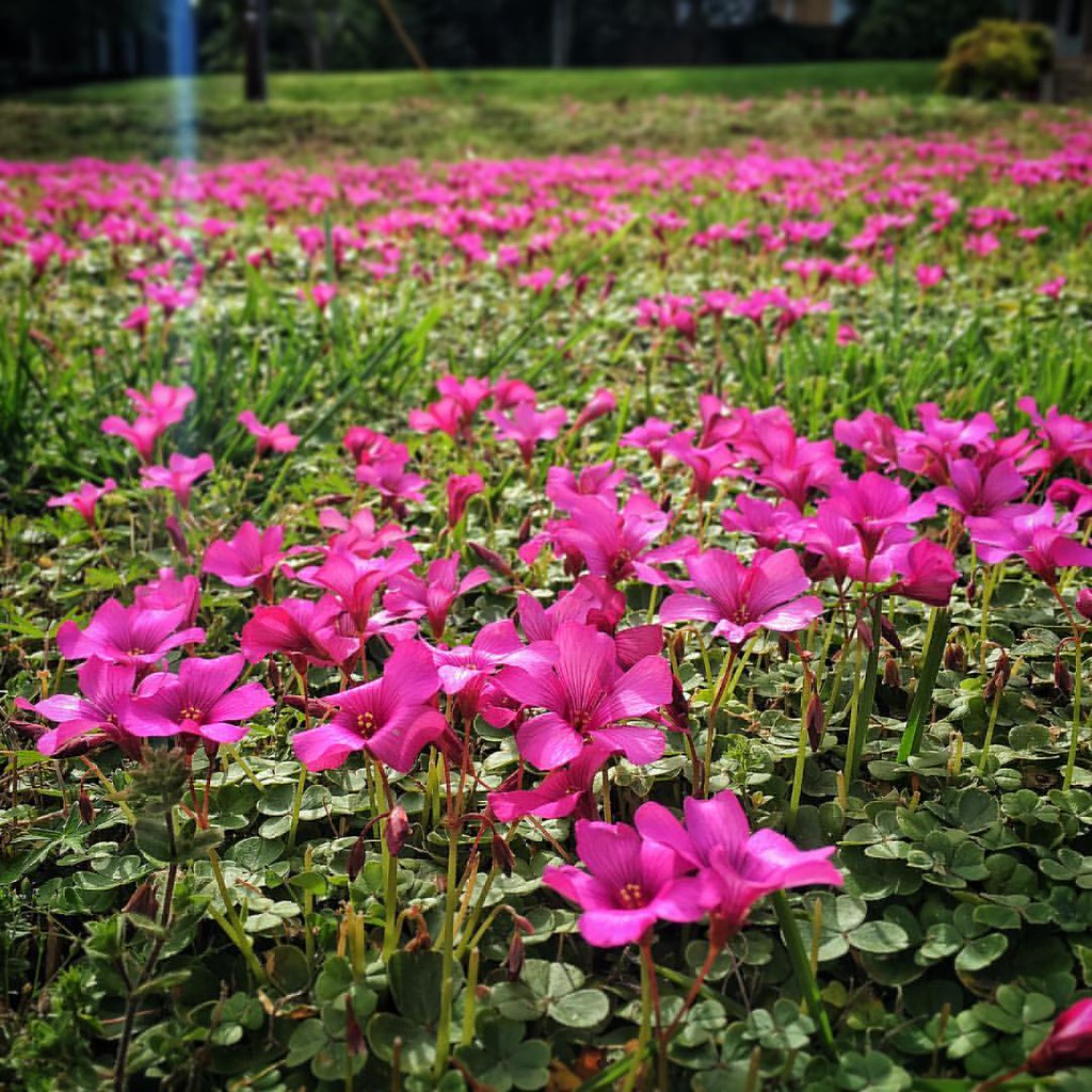
My purple lawn
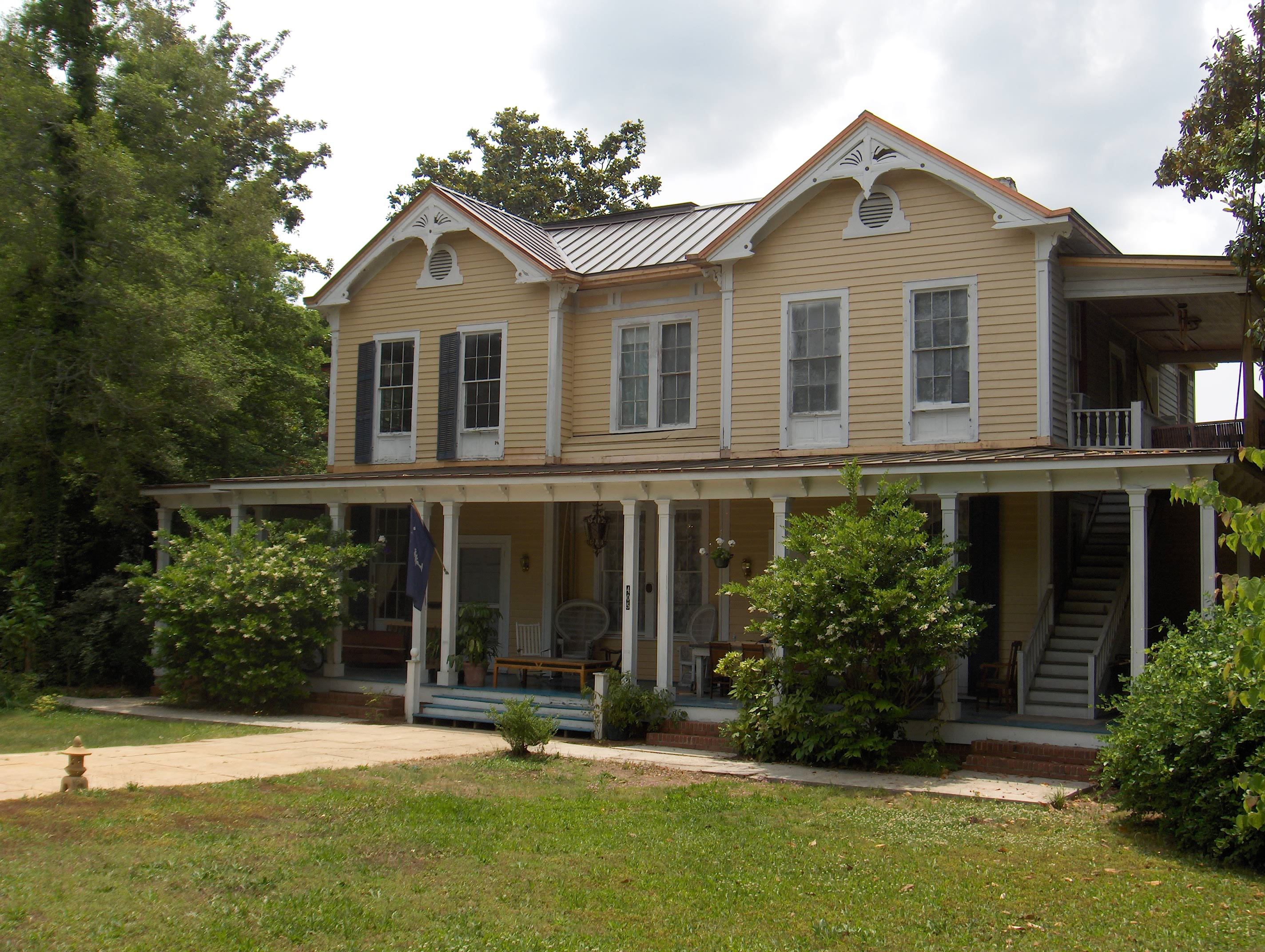
751 Smith Visanska House Img_3924
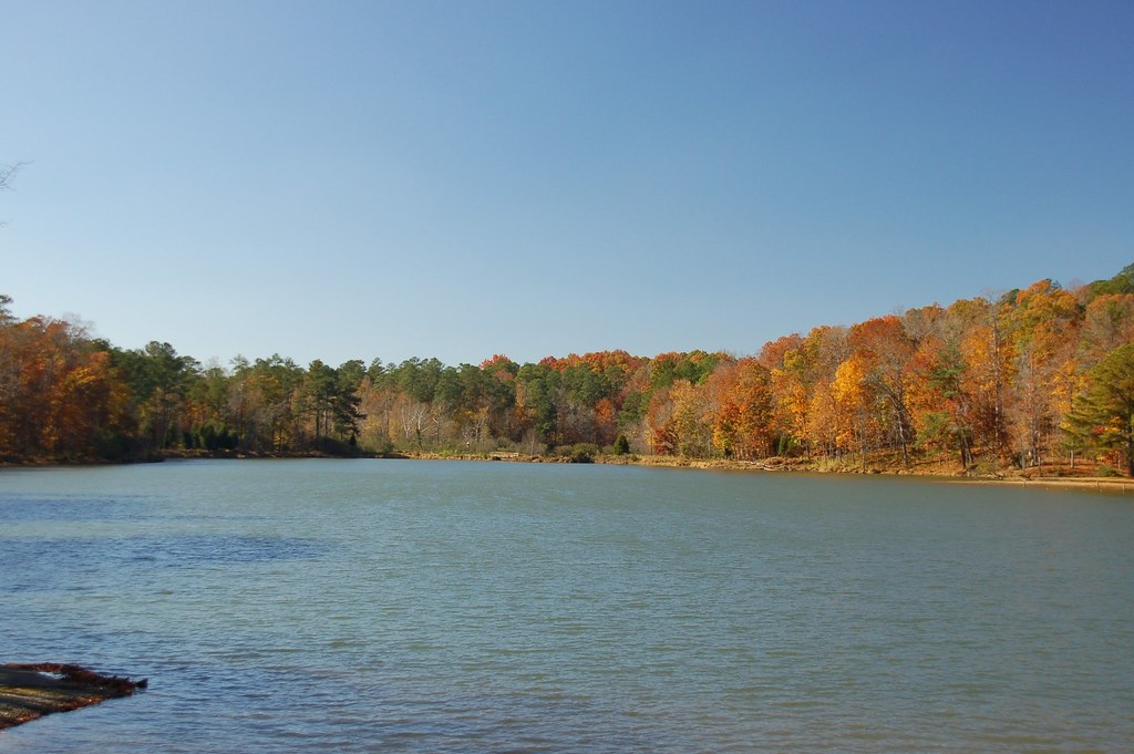
Parson's Lake
Before.
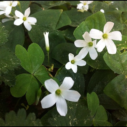
Oxalis blooming cheerfully. Happy St Patrick's Day!
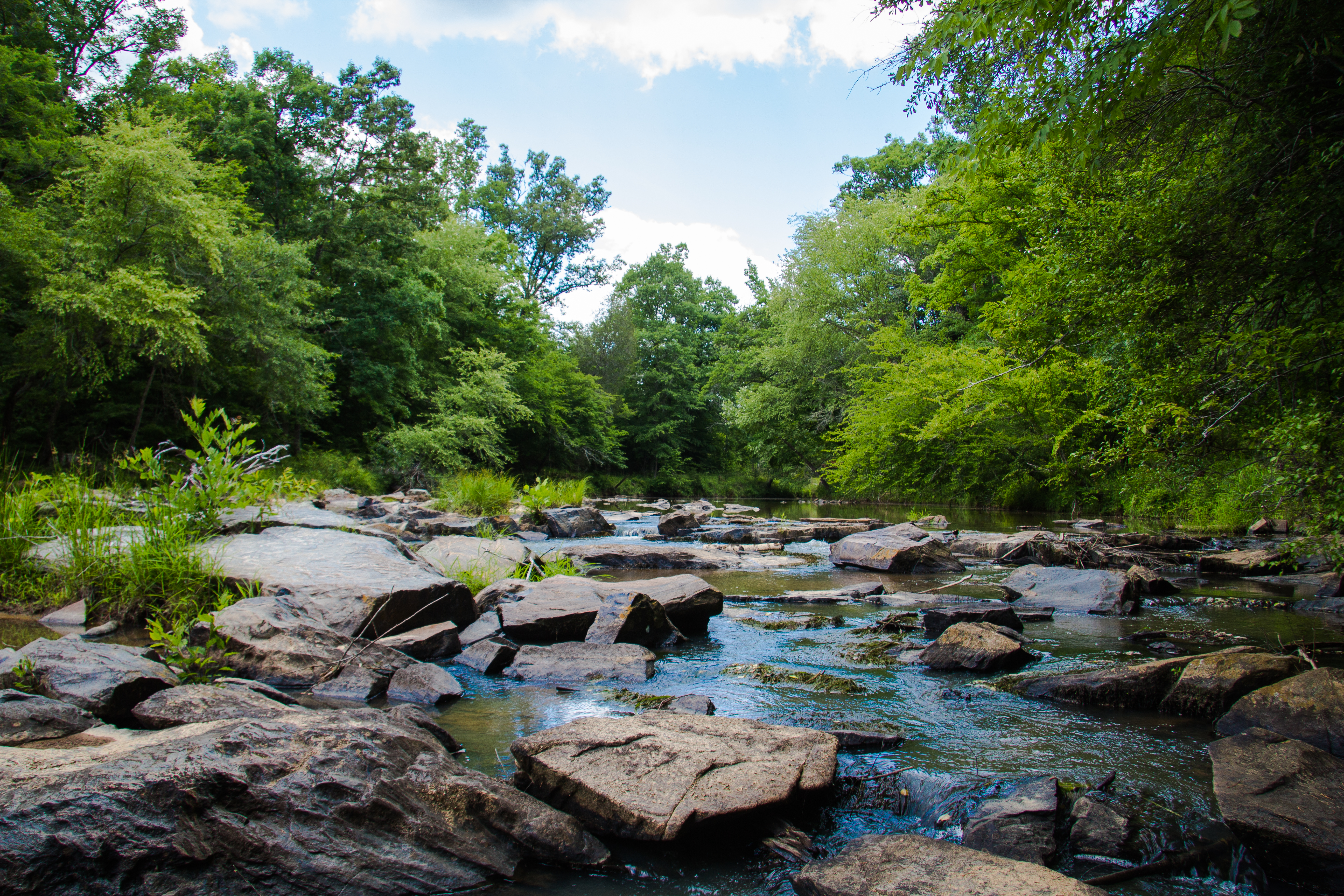
Long Cane Creek
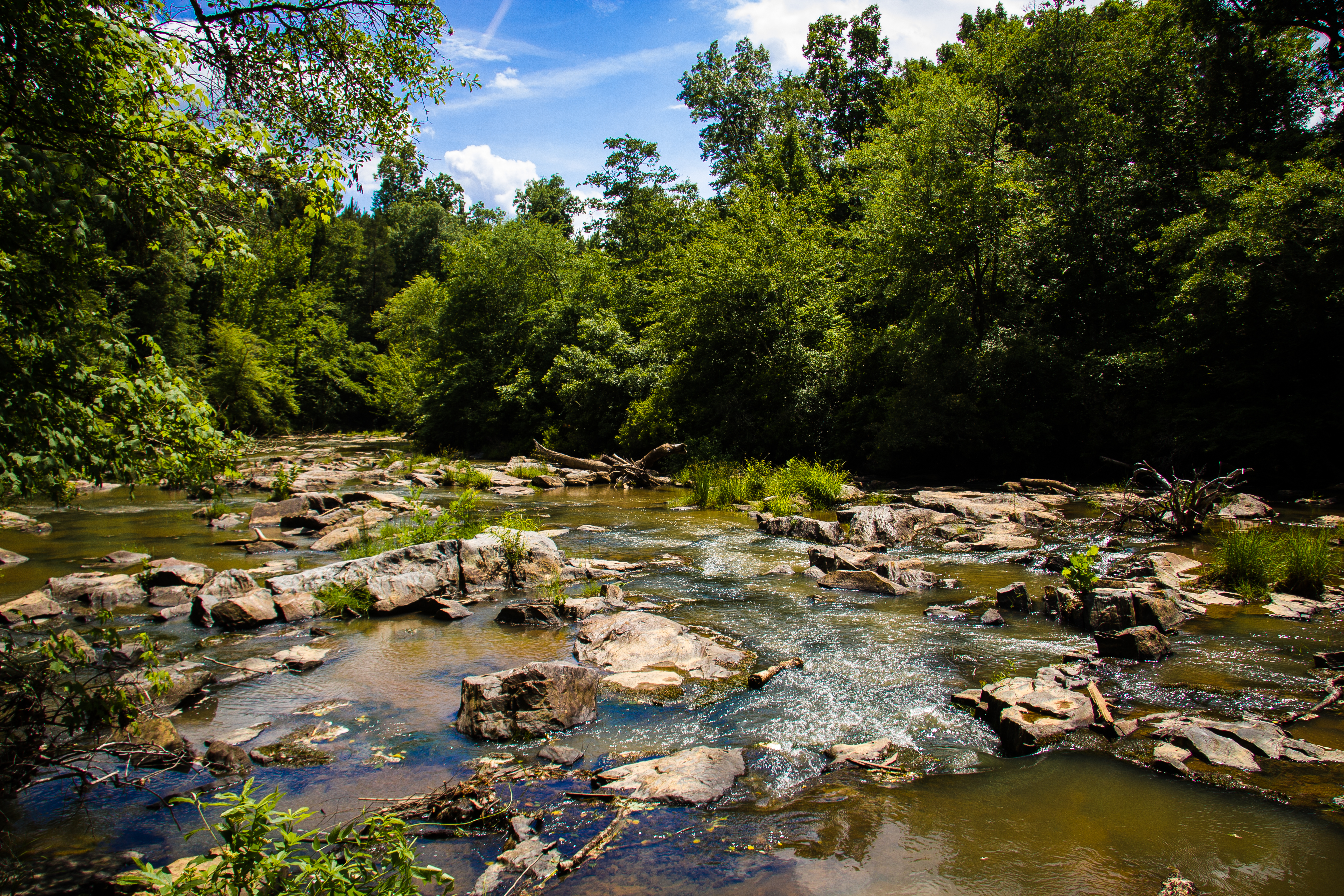
Long Cane Creek
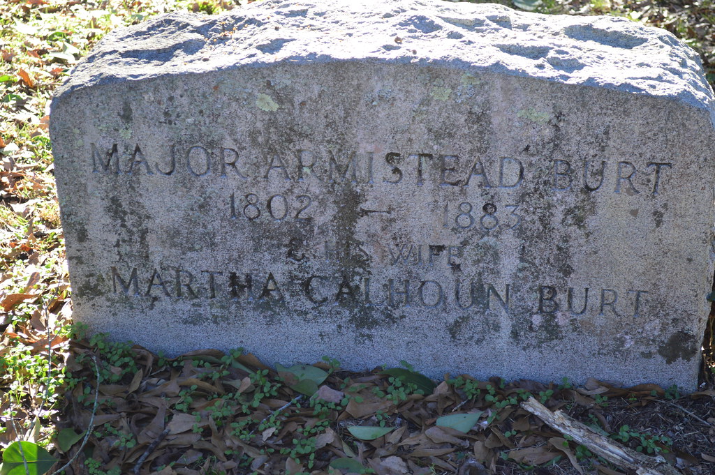
Major Armistead Burt, Martha Calhoun Burt
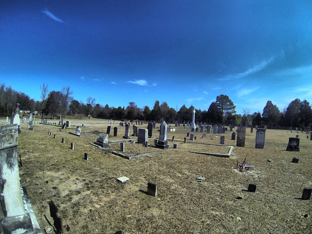
Cedar Springs Cemetery GoPro
Topographic Map of Abbeville, SC, USA
Find elevation by address:

Places in Abbeville, SC, USA:
Old Hodges Rd, Abbeville, SC, USA
Old Hodges Rd, Abbeville, SC, USA
County Rd S-1-3, Abbeville, SC, USA
Places near Abbeville, SC, USA:
1102 N Main St
228 Faith Ln
92 Union Church Rd
1780 Stevenson Rd
Old Hodges Rd, Abbeville, SC, USA
Abbeville County
Candy Branch Shooting Range
County Rd S-1-3, Abbeville, SC, USA
Old Hodges Rd, Abbeville, SC, USA
1233 John's Creek Rd
McCormick Hwy, Bradley, SC, USA
210 Butler Rd
Due West
5012 Sc-185
2117 Hwy 72 W
316 County Rd S-1-163
314 Gatewood Dr
US-, Hodges, SC, USA
1201 Puckett Town Rd
Grumling Rd W, Hodges, SC, USA
Recent Searches:
- Elevation of Hercules Dr, Colorado Springs, CO, USA
- Elevation of Szlak pieszy czarny, Poland
- Elevation of Griffing Blvd, Biscayne Park, FL, USA
- Elevation of Kreuzburger Weg 13, Düsseldorf, Germany
- Elevation of Gateway Blvd SE, Canton, OH, USA
- Elevation of East W.T. Harris Boulevard, E W.T. Harris Blvd, Charlotte, NC, USA
- Elevation of West Sugar Creek, Charlotte, NC, USA
- Elevation of Wayland, NY, USA
- Elevation of Steadfast Ct, Daphne, AL, USA
- Elevation of Lagasgasan, X+CQH, Tiaong, Quezon, Philippines