Elevation of 91 Cheyenne Ave, Albin, WY, USA
Location: United States > Wyoming > Laramie County >
Longitude: -104.09754
Latitude: 41.417656
Elevation: 1625m / 5331feet
Barometric Pressure: 83KPa
Elevation Map:
Satellite Map:
Related Photos:
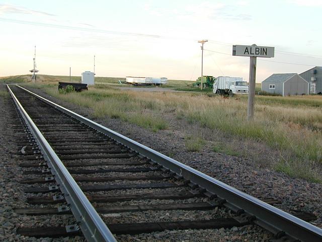
Union Pacific Caboose

Pine Bluffs Albin Road

City of Yoder

corn and the bible
the square baler II

St Paul's Catholic Church
the Sq Baler
St Paul's Catholic Church - pano
It ain't paris
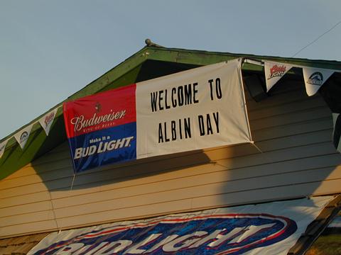
Albin Day
Topographic Map of 91 Cheyenne Ave, Albin, WY, USA
Find elevation by address:

Places near 91 Cheyenne Ave, Albin, WY, USA:
5th Ave, La Grange, WY, USA
Pine Bluffs
3rd St, Burns, WY, USA
Egbert
4551 Big Chief Rd
Main St, Hillsdale, WY, USA
Main Ave, Carpenter, WY, USA
Carpenter
County Road 134
745 Co Rd 144
Hereford
Co Rd, Grover, CO, USA
County Road 139
582 Co Rd 143
WY-, Yoder, WY, USA
Outlaw Road
Obsidian Road
1461 Obsidian Rd
Grover
201 Chatoga Ave
Recent Searches:
- Elevation of Woodland Oak Pl, Thousand Oaks, CA, USA
- Elevation of Brownsdale Rd, Renfrew, PA, USA
- Elevation of Corcoran Ln, Suffolk, VA, USA
- Elevation of Mamala II, Sariaya, Quezon, Philippines
- Elevation of Sarangdanda, Nepal
- Elevation of 7 Waterfall Way, Tomball, TX, USA
- Elevation of SW 57th Ave, Portland, OR, USA
- Elevation of Crocker Dr, Vacaville, CA, USA
- Elevation of Pu Ngaol Community Meeting Hall, HWHM+3X7, Krong Saen Monourom, Cambodia
- Elevation of Royal Ontario Museum, Queens Park, Toronto, ON M5S 2C6, Canada