Elevation of Main St, Hillsdale, WY, USA
Location: United States > Wyoming > Laramie County >
Longitude: -104.47725
Latitude: 41.212887
Elevation: 1716m / 5630feet
Barometric Pressure: 82KPa
Elevation Map:
Satellite Map:
Related Photos:
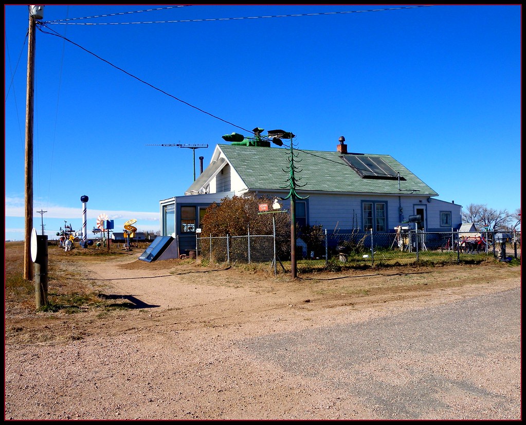
Mel and Opal's home on Hwy 30

flea ant view.....

flea ant view II

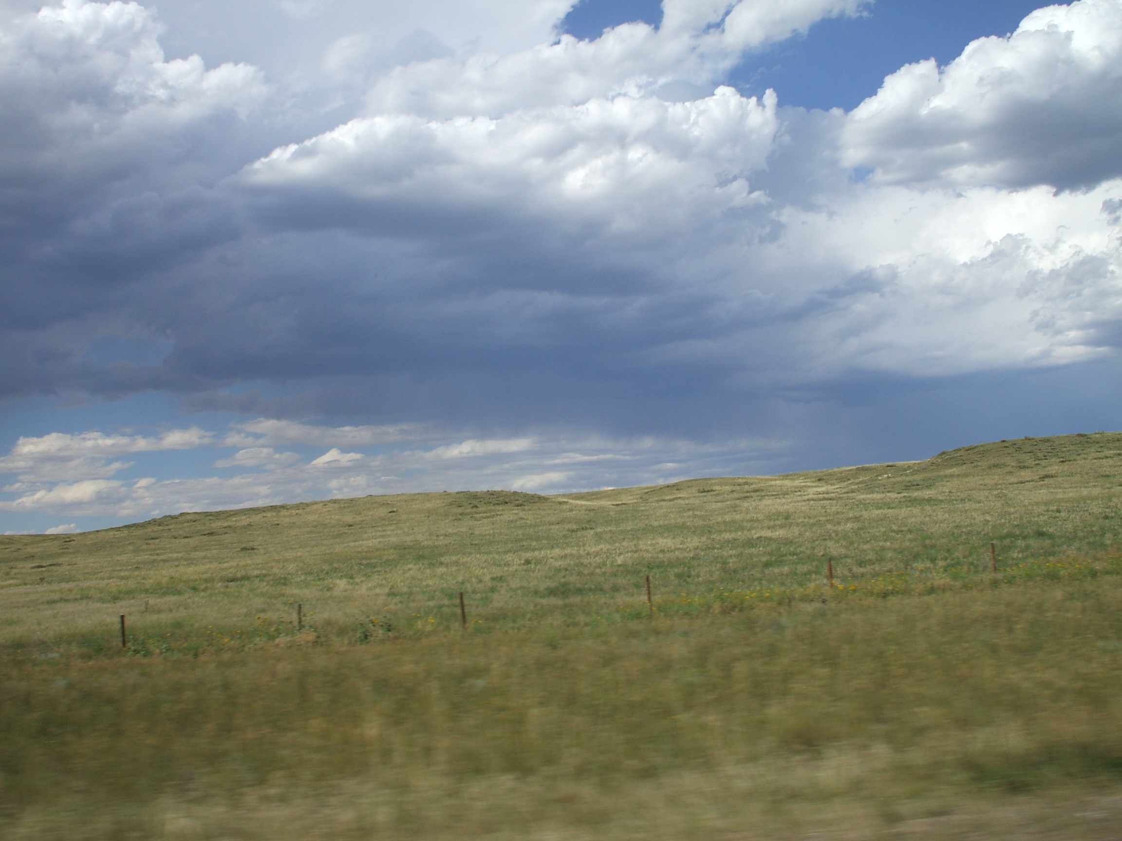
the High Plains V
2007 drive to CA with Annie (107)
,,2012-08-30_08-36-12_587
Nov 23, 2008
2007 drive to CA with Annie (94)

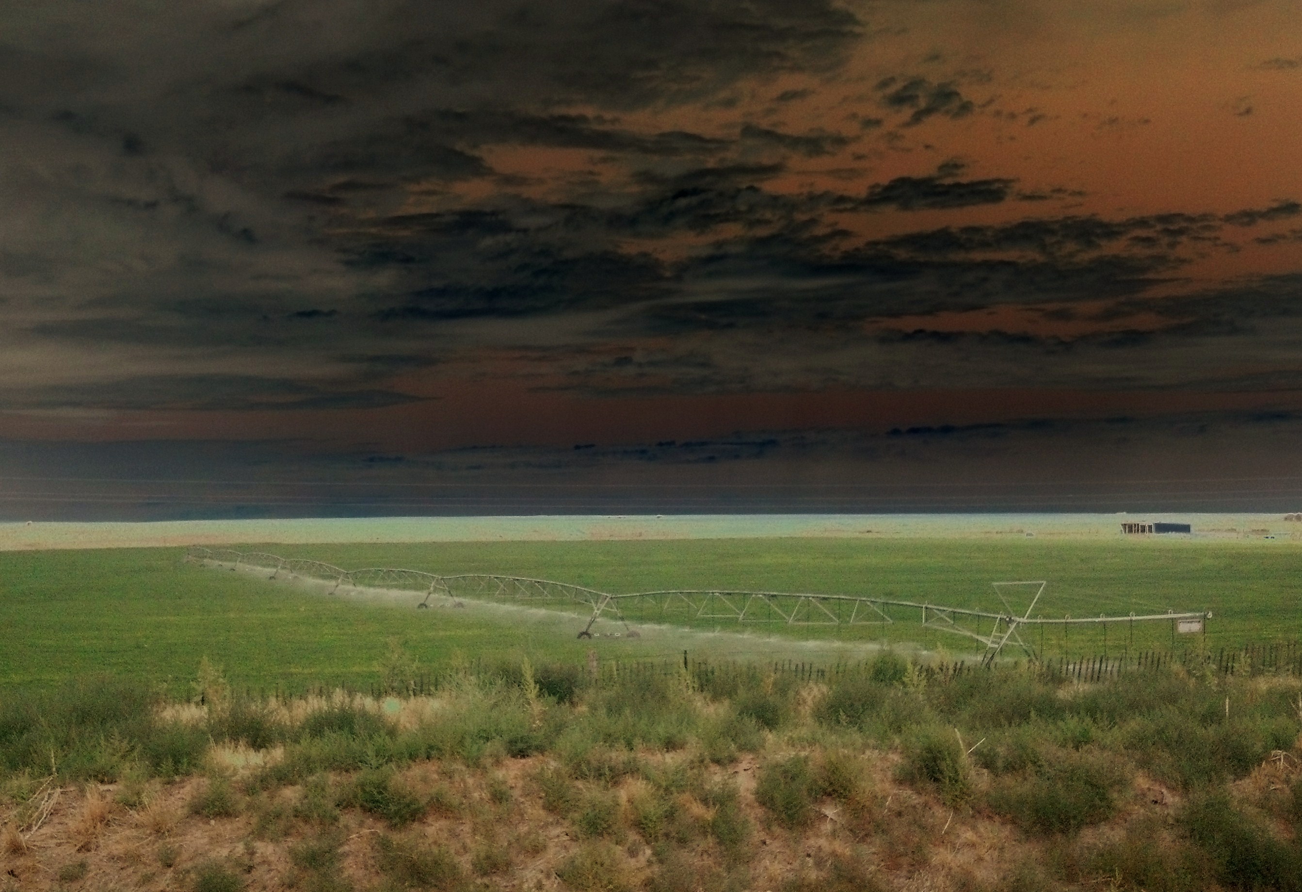
You blink when you lie

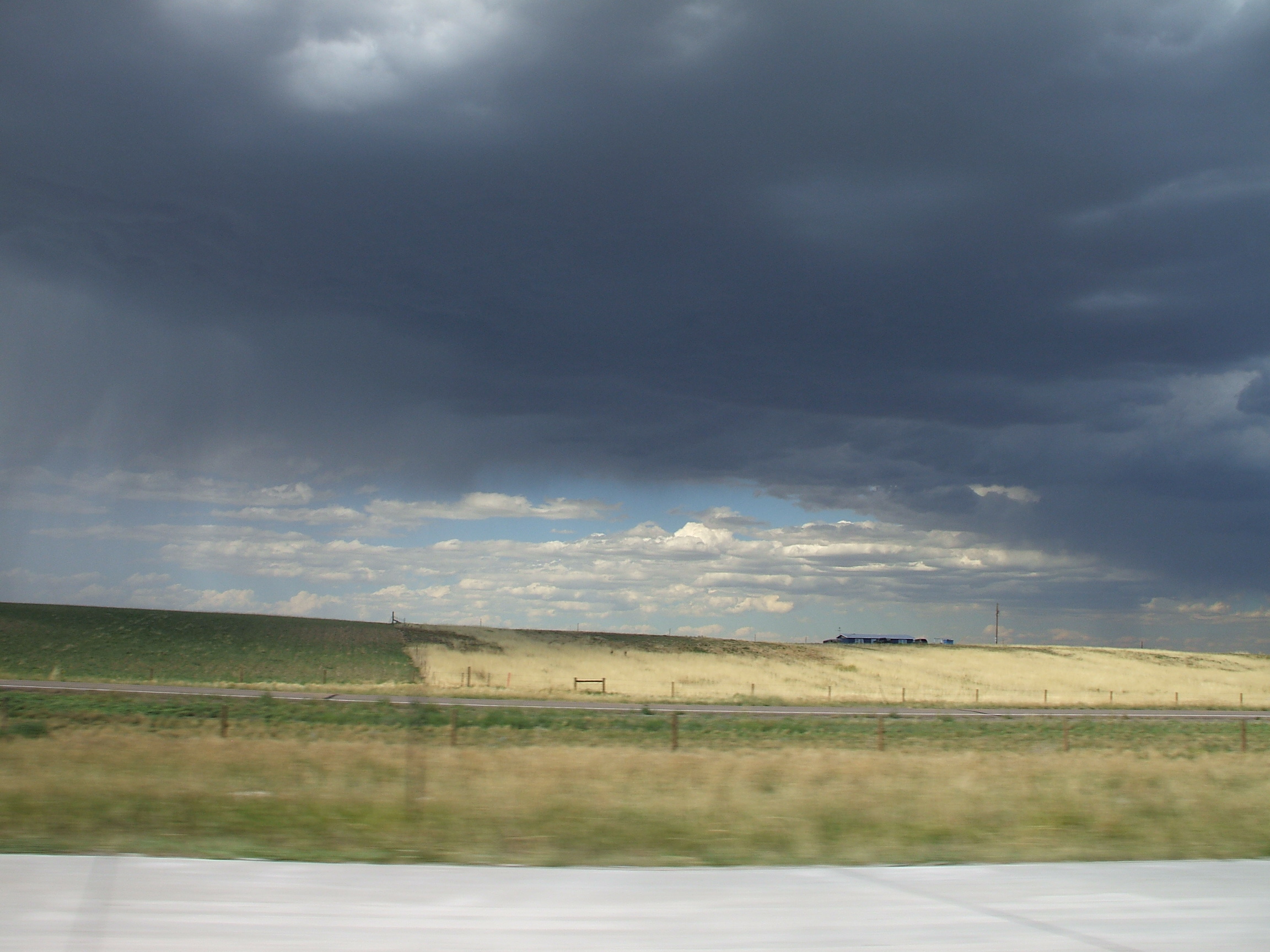
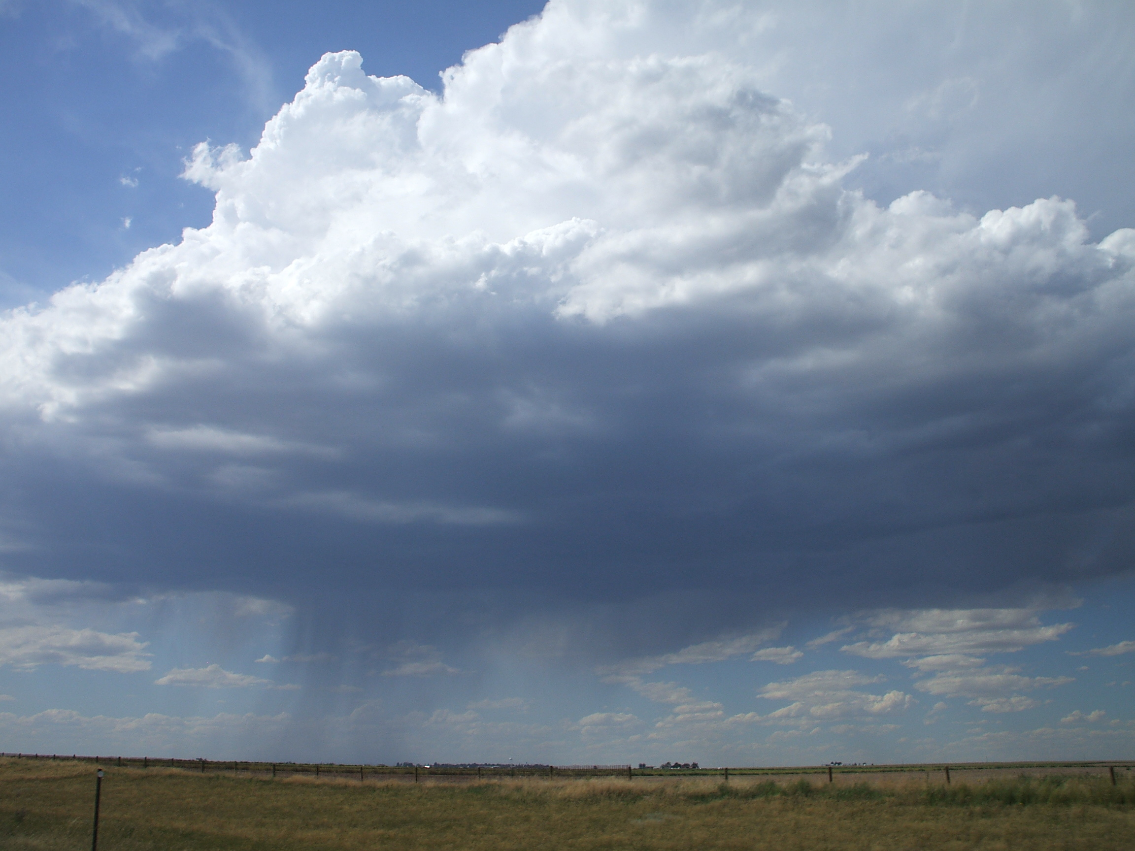
Strong down draft

A long walk listening to my husband's childhood memories - amazing

Landscape_072913_LR-35-Edit.jpg
2007 drive to CA with Annie (95)

07 Wyoming
Topographic Map of Main St, Hillsdale, WY, USA
Find elevation by address:

Places near Main St, Hillsdale, WY, USA:
County Road 139
4551 Big Chief Rd
745 Co Rd 144
582 Co Rd 143
Obsidian Road
1461 Obsidian Rd
Outlaw Road
Carpenter
Main Ave, Carpenter, WY, USA
Egbert
3rd St, Burns, WY, USA
8817 Chinook Dr
Campstool Rd, Cheyenne, WY, USA
10744 Snow Mass Ct
6034 E Pershing Blvd
5000 Griffith Ave
11639 Grove Dr
Hereford
Co Rd, Grover, CO, USA
4004 E 6th St
Recent Searches:
- Elevation of Estates Loop, Priest River, ID, USA
- Elevation of Woodland Oak Pl, Thousand Oaks, CA, USA
- Elevation of Brownsdale Rd, Renfrew, PA, USA
- Elevation of Corcoran Ln, Suffolk, VA, USA
- Elevation of Mamala II, Sariaya, Quezon, Philippines
- Elevation of Sarangdanda, Nepal
- Elevation of 7 Waterfall Way, Tomball, TX, USA
- Elevation of SW 57th Ave, Portland, OR, USA
- Elevation of Crocker Dr, Vacaville, CA, USA
- Elevation of Pu Ngaol Community Meeting Hall, HWHM+3X7, Krong Saen Monourom, Cambodia