Elevation of County Road, Co Rd, Wyoming, USA
Location: United States > Wyoming > Laramie County >
Longitude: -104.54116
Latitude: 41.2055296
Elevation: -10000m / -32808feet
Barometric Pressure: 295KPa
Elevation Map:
Satellite Map:
Related Photos:

5321 About expire. Archer Hill.

Mel and Opal's home on Hwy 30

7294 looking rather faded at Archer Hill.

Myrtle x Audubon's Warbler Hybrid

Myrtle x Audubon's Warbler Hybrid

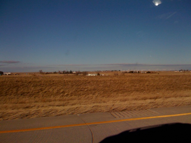
20140808_I 25 Wyoming

UP X-9322West at Archer
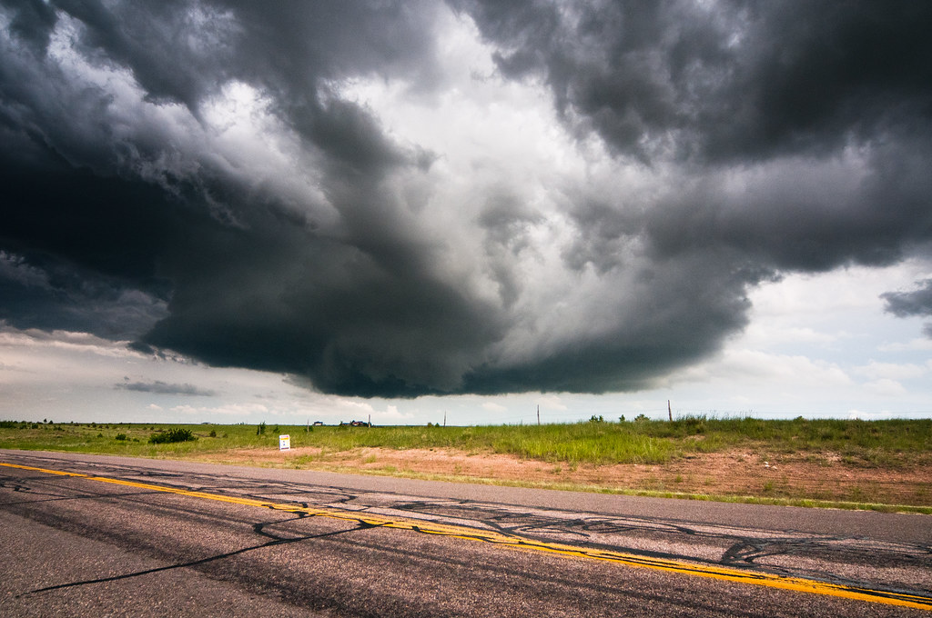
Strong down draft

Union Pacific SD60M #6123 heading down Archer Hill into Cheyenne WY on 6/23/90

Point of Rocks
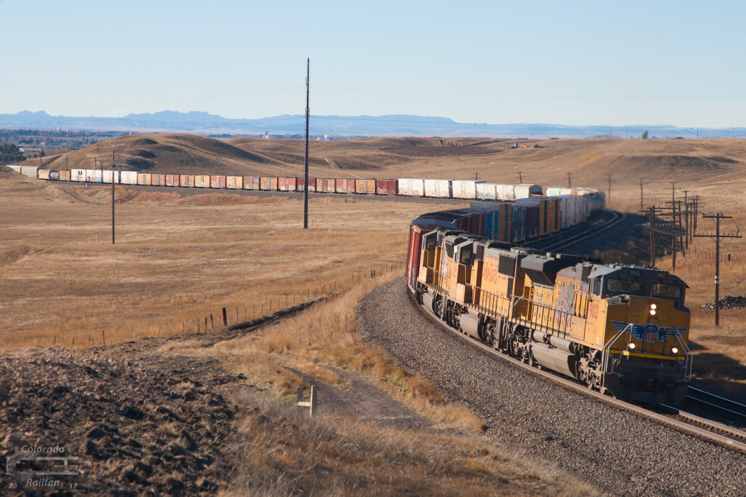
Manifest at Archer
Nov 23, 2008

,,2012-08-30_08-36-12_587

A long walk listening to my husband's childhood memories - amazing
Topographic Map of County Road, Co Rd, Wyoming, USA
Find elevation by address:

Places near County Road, Co Rd, Wyoming, USA:
Main St, Hillsdale, WY, USA
Obsidian Road
1461 Obsidian Rd
4551 Big Chief Rd
745 Co Rd 144
582 Co Rd 143
Outlaw Road
8817 Chinook Dr
Campstool Rd, Cheyenne, WY, USA
10744 Snow Mass Ct
6034 E Pershing Blvd
5000 Griffith Ave
11639 Grove Dr
4004 E 6th St
Carpenter
Main Ave, Carpenter, WY, USA
6011 Crestridge Dr
6433 Big Sky Trail
Iron Mountain Rd, Cheyenne, WY, USA
Ranchettes
Recent Searches:
- Elevation of Woodland Oak Pl, Thousand Oaks, CA, USA
- Elevation of Brownsdale Rd, Renfrew, PA, USA
- Elevation of Corcoran Ln, Suffolk, VA, USA
- Elevation of Mamala II, Sariaya, Quezon, Philippines
- Elevation of Sarangdanda, Nepal
- Elevation of 7 Waterfall Way, Tomball, TX, USA
- Elevation of SW 57th Ave, Portland, OR, USA
- Elevation of Crocker Dr, Vacaville, CA, USA
- Elevation of Pu Ngaol Community Meeting Hall, HWHM+3X7, Krong Saen Monourom, Cambodia
- Elevation of Royal Ontario Museum, Queens Park, Toronto, ON M5S 2C6, Canada