Elevation of 83-2 Kasaoka, Kasaoka-shi, Okayama-ken -, Japan
Location: Japan > Okayama Prefecture > Kasaoka >
Longitude: 133.520237
Latitude: 34.5000388
Elevation: 5m / 16feet
Barometric Pressure: 101KPa
Elevation Map:
Satellite Map:
Related Photos:

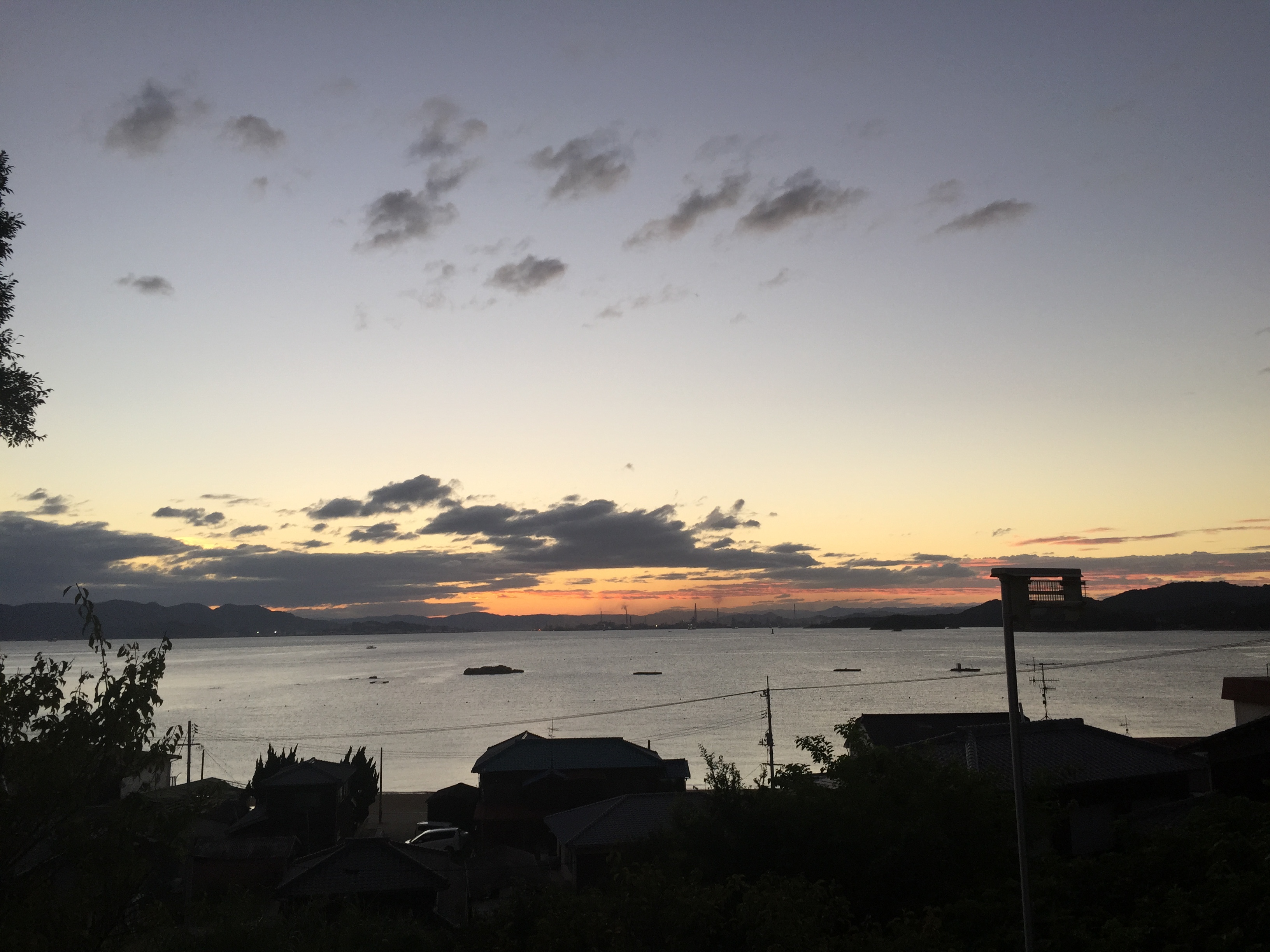
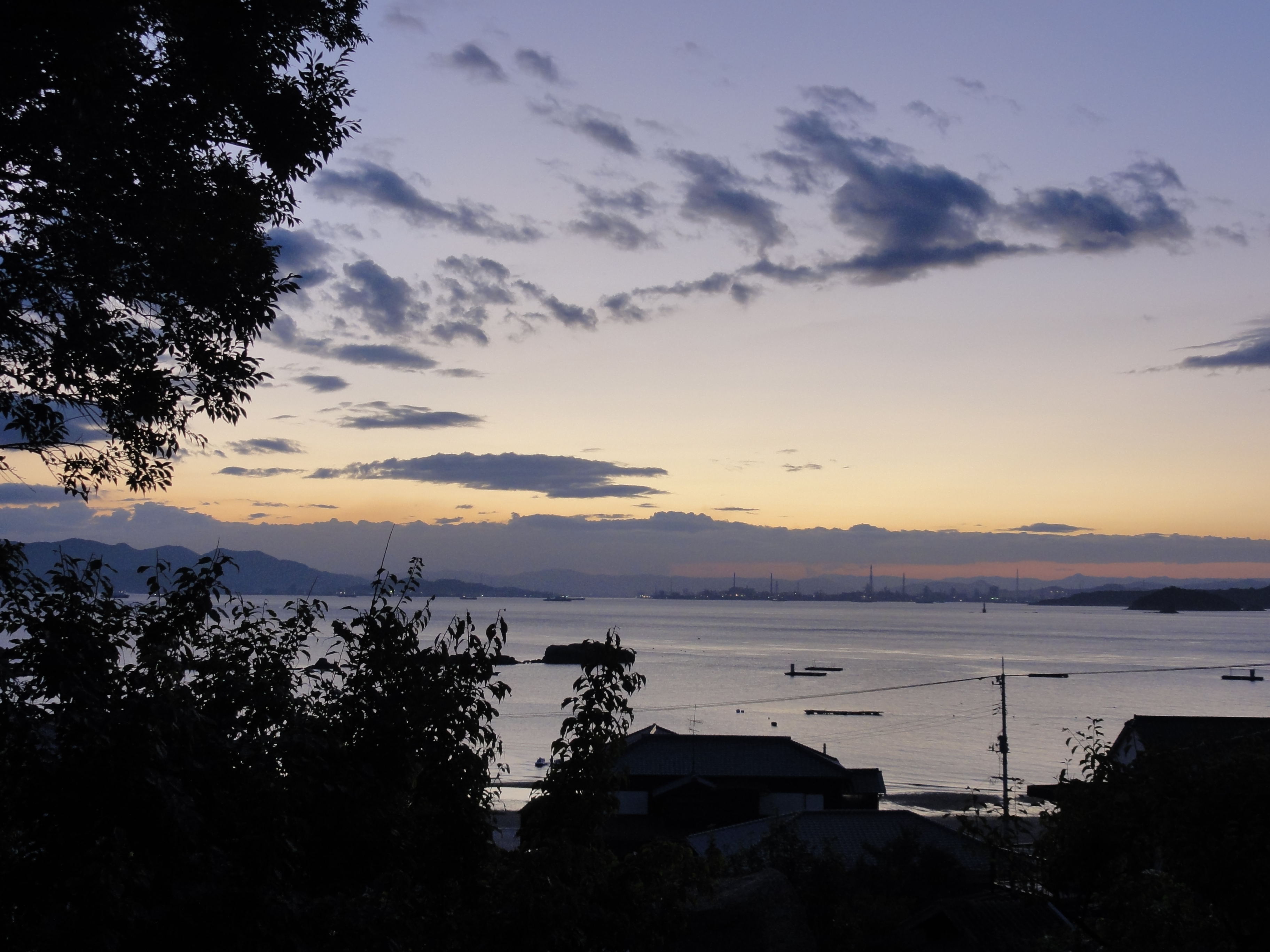
DSC06564.JPG
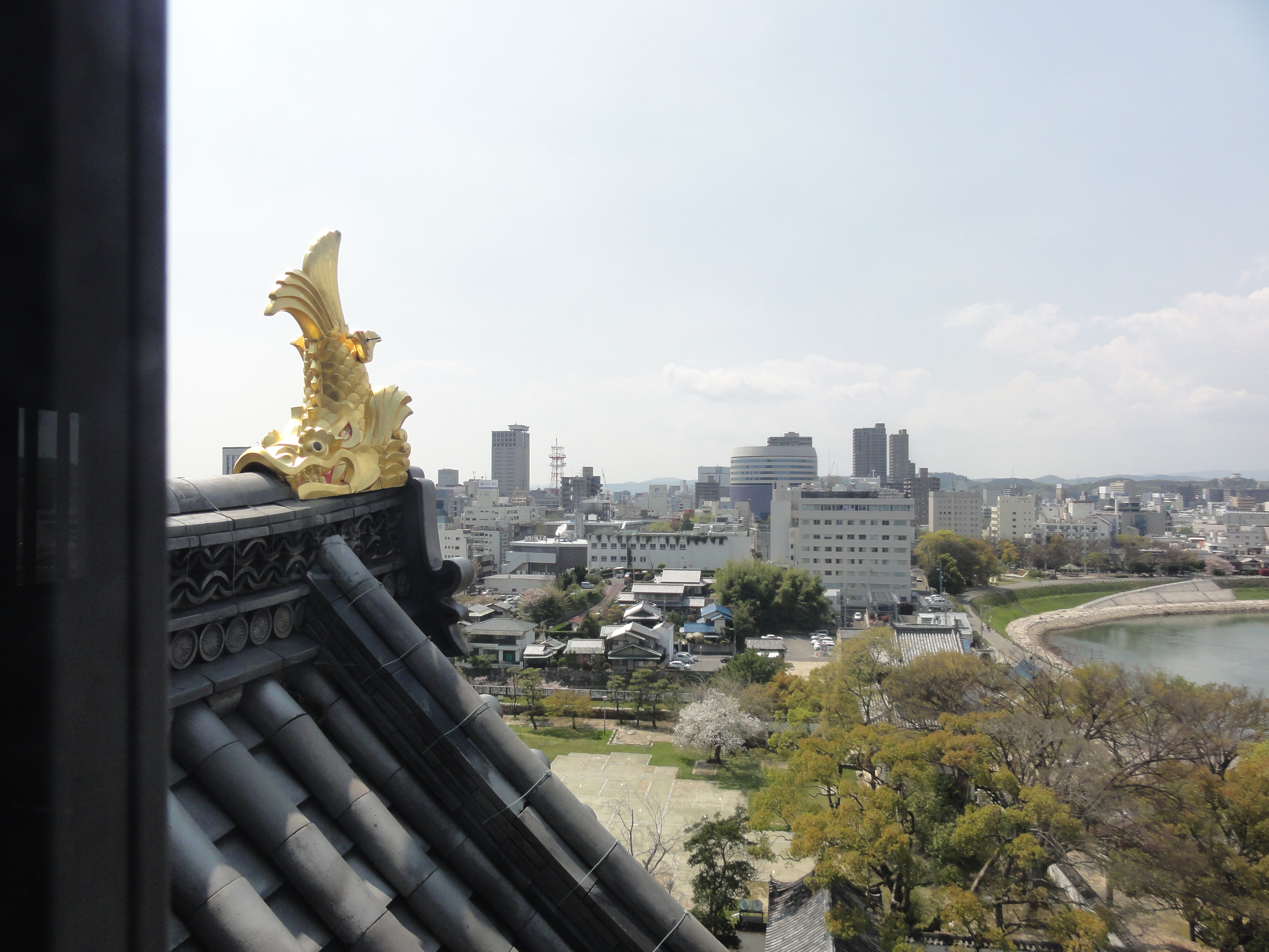
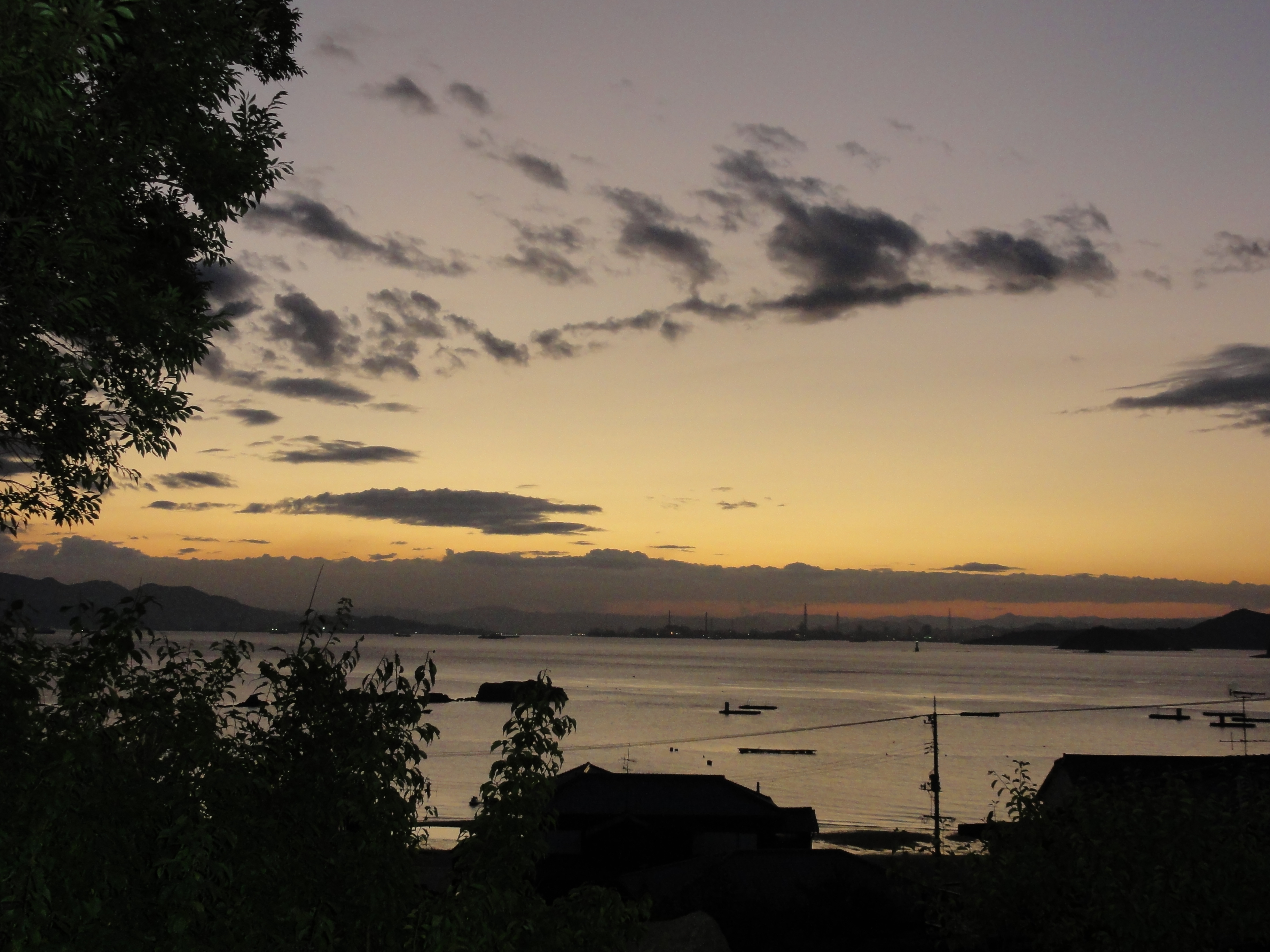
DSC06563.JPG
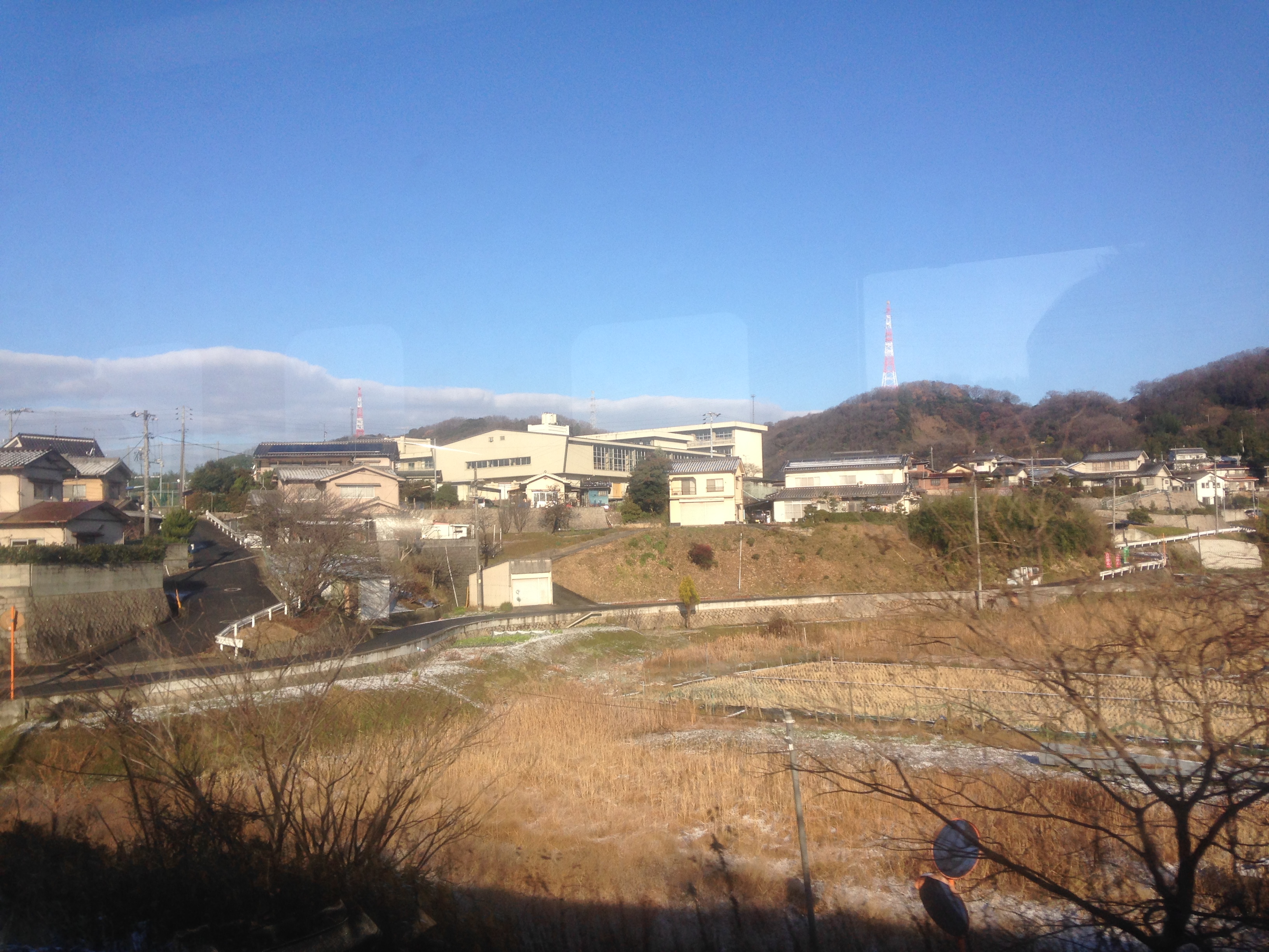
~ view from 'sakura 563' shinkansen ~

Southwest view of the Oda River(小田川) from Sakurahashi Bridge(桜橋)
円通寺駐車場からの眺め view from Entsuji-temple in Kurashiki

Northwest view of the Oda River(小田川) from Sakurahashi Bridge(桜橋)

Northeast view of the Oda River(小田川) from Sakurahashi Bridge(桜橋)/ Sakurahashi Park(桜橋公園)on the right
*
Let's go to Matsue!

確かに閉店しとる
the way to garden
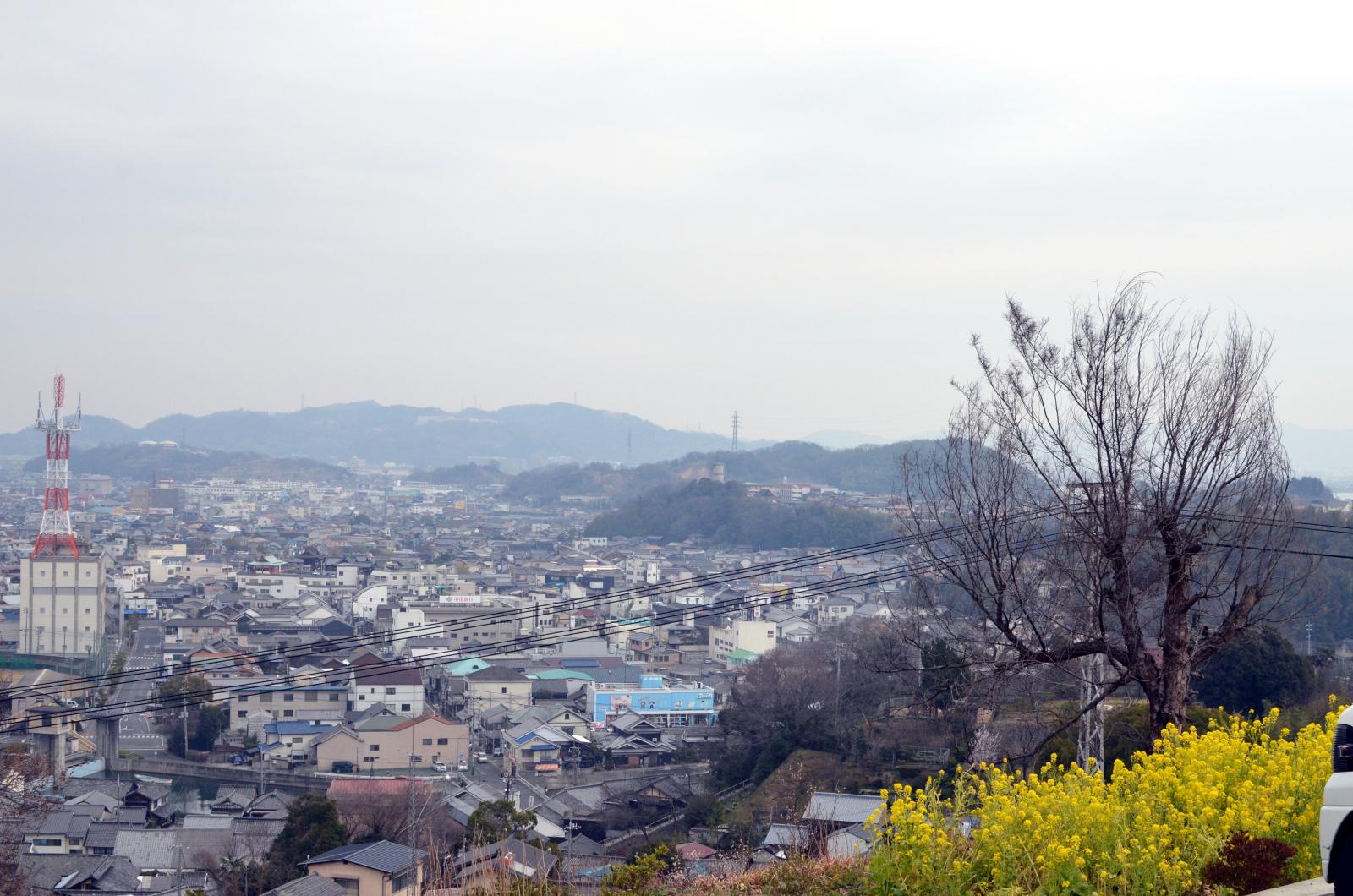
菜の花畑

芦田川

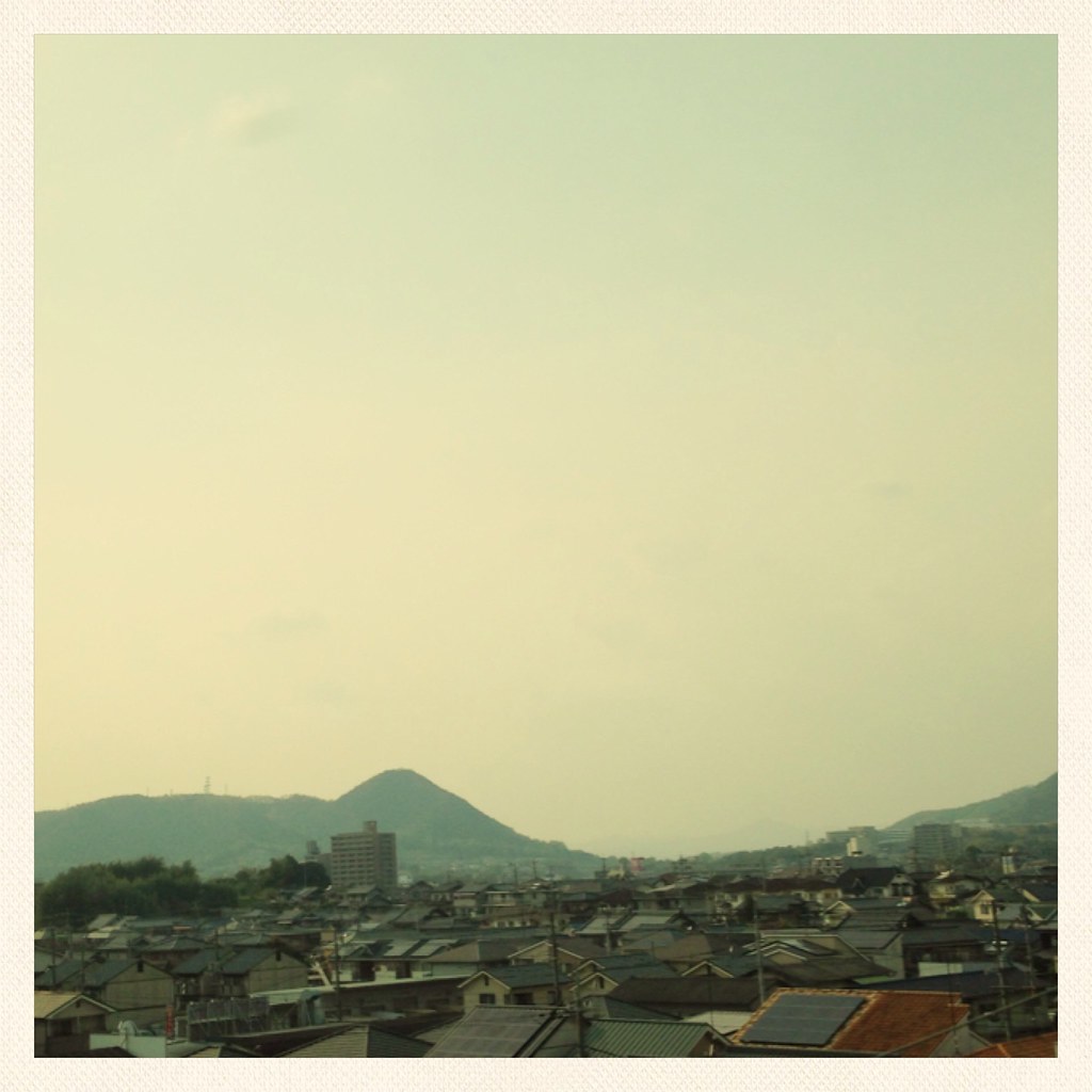
DSC04542.JPG
芦田側大橋
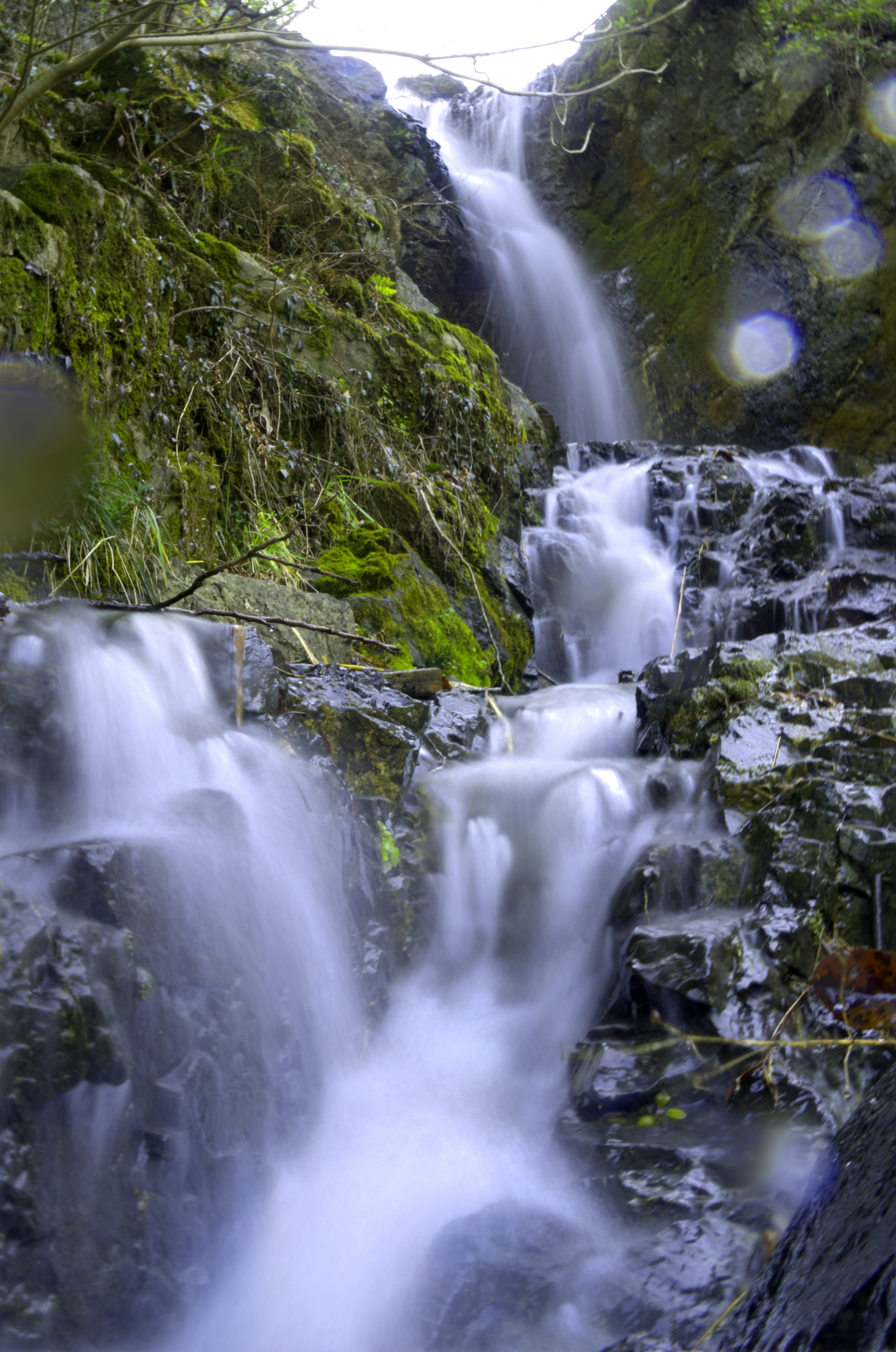
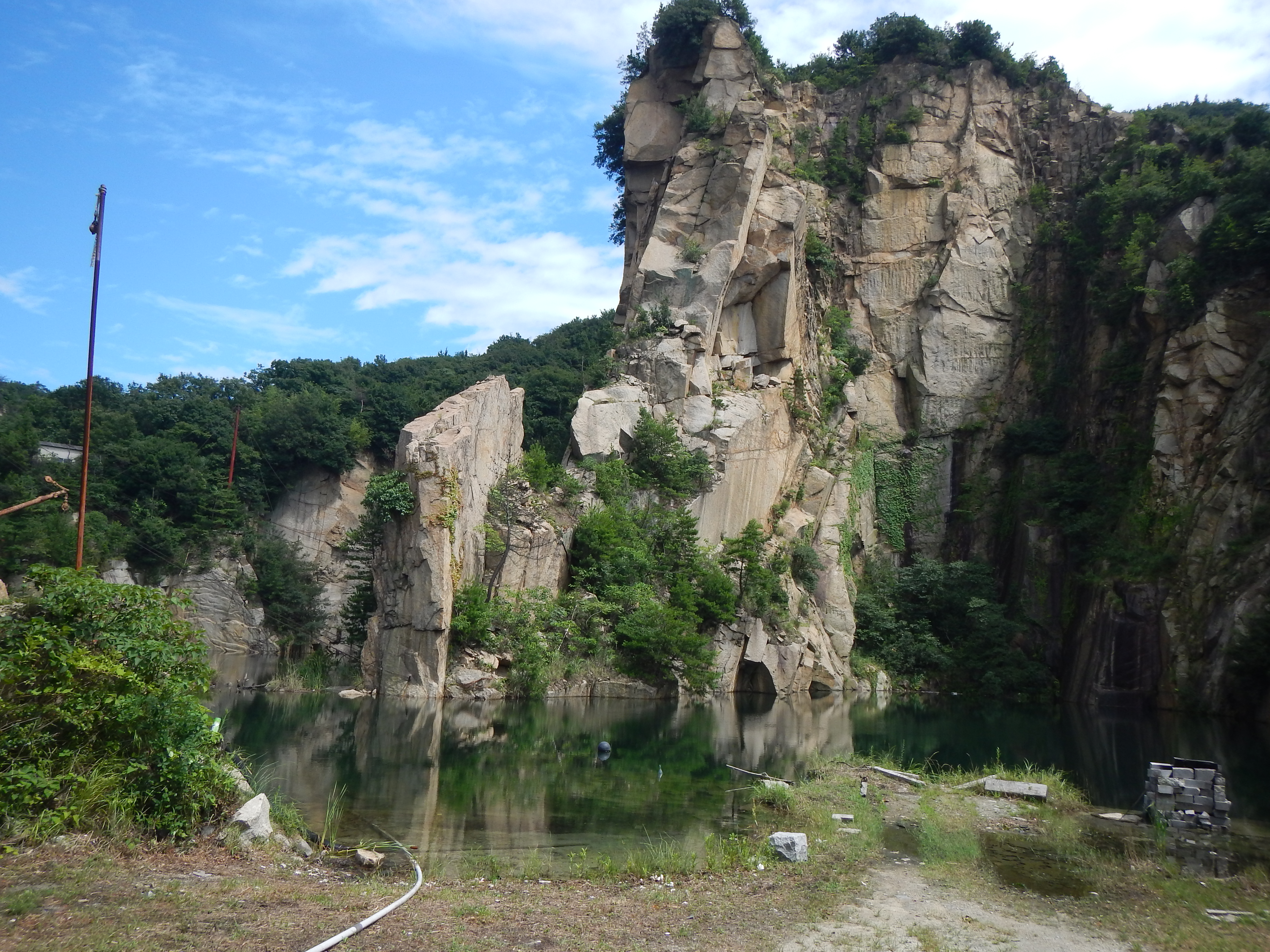
air terjun ibara (waterfall near home)
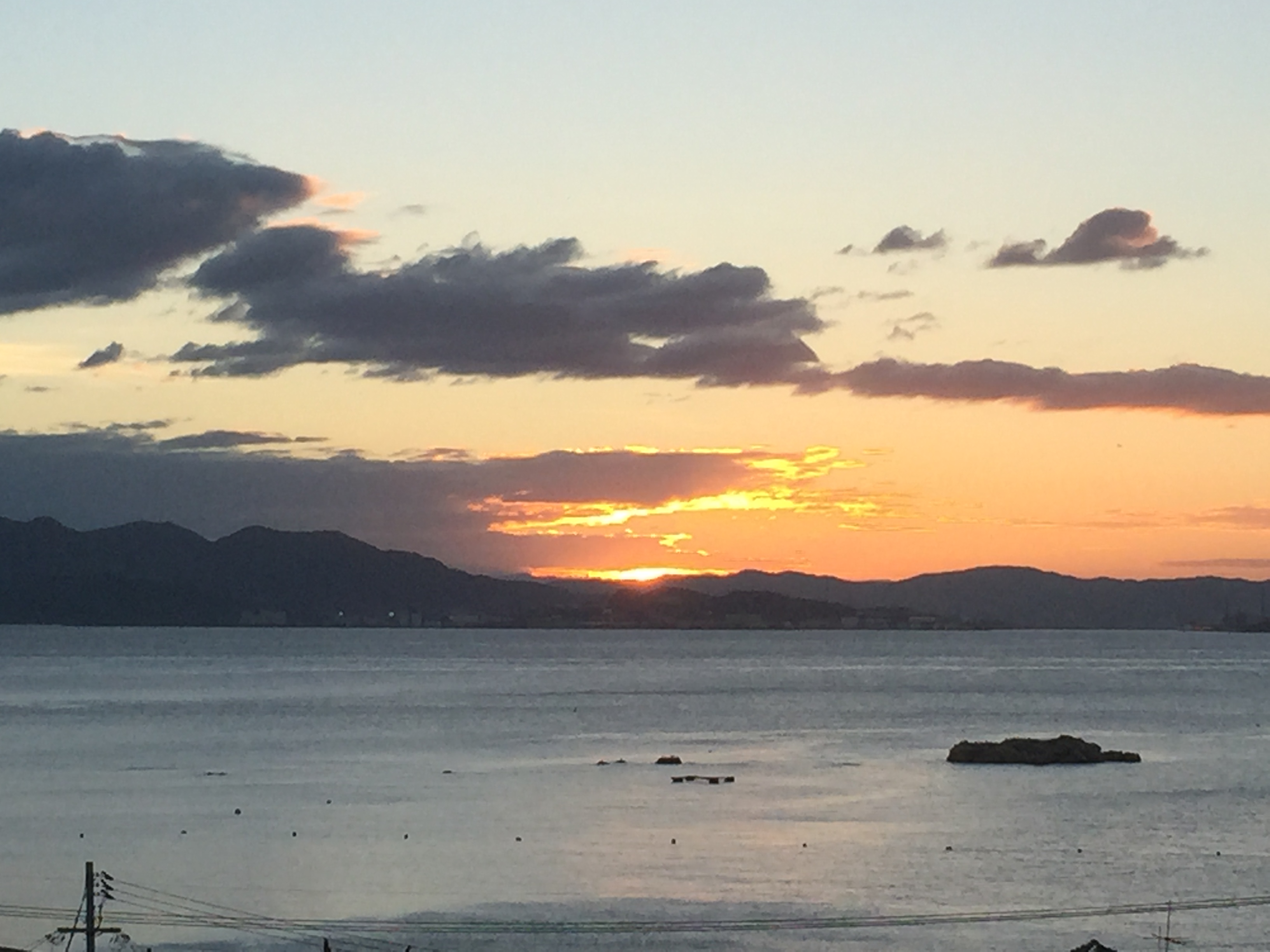
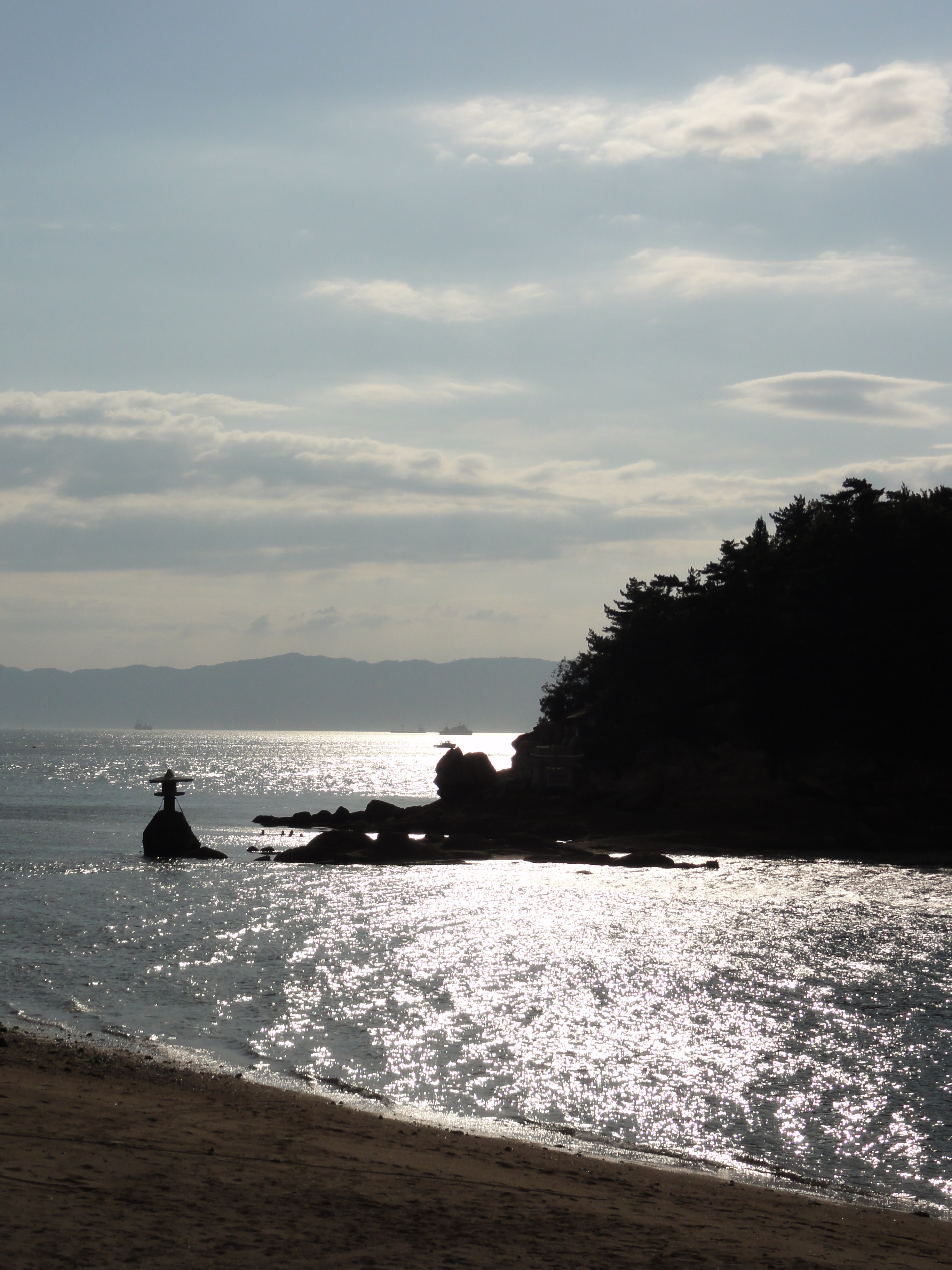
帰りに寄島
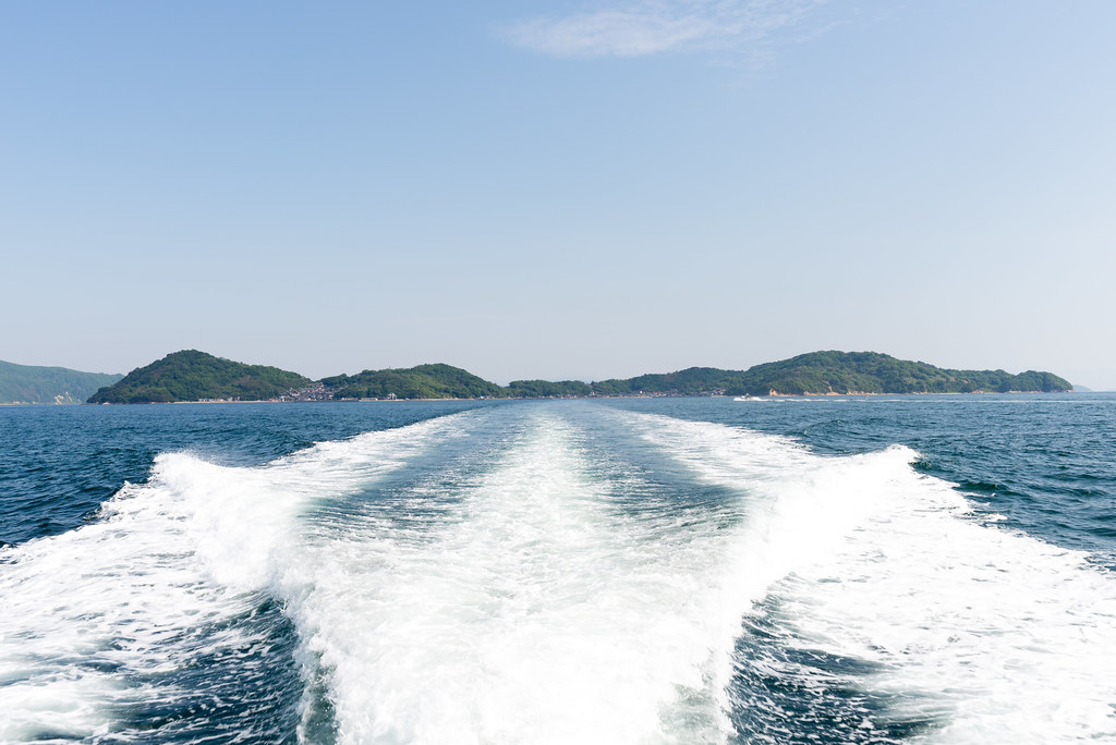
フェリー
IMG_4085.JPG
IMG_4086.JPG

*
DSC04541.JPG
厳島神社 原爆ドーム
DSC04543.JPG
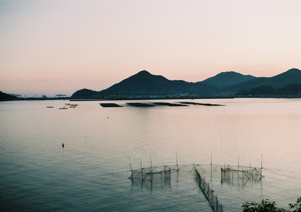
Inland sea Setouchi Japan
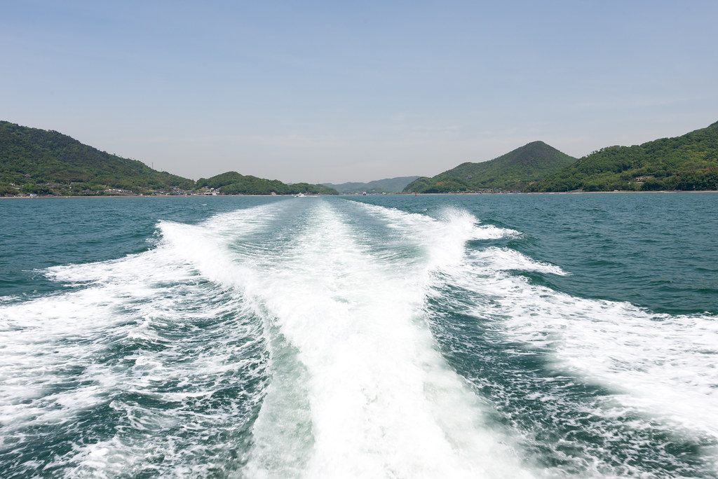
フェリー
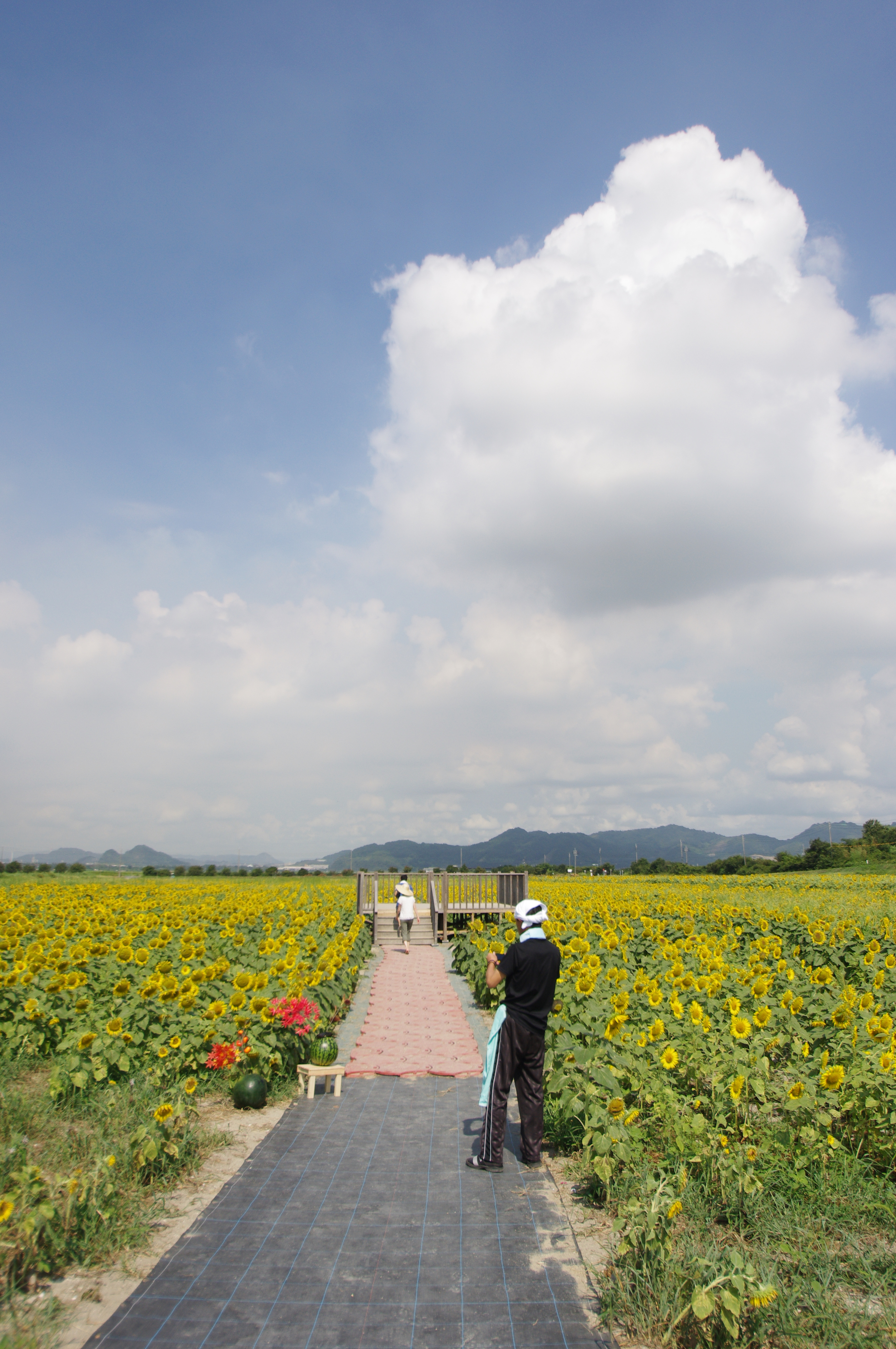
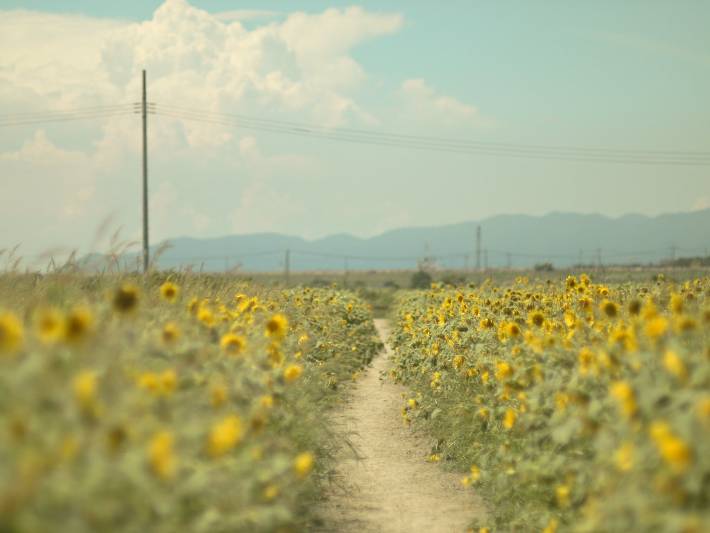
Sunflower field
DSC04531.JPG
Topographic Map of 83-2 Kasaoka, Kasaoka-shi, Okayama-ken -, Japan
Find elevation by address:

Places near 83-2 Kasaoka, Kasaoka-shi, Okayama-ken -, Japan:
Kasaoka
Kōnoshima, Kasaoka-shi, Okayama-ken -, Japan
-26 Kamogatachō Kamogata, Asakuchi-shi, Okayama-ken -, Japan
Ibara
Aonochō, Ibara-shi, Okayama-ken -, Japan
Kannabechō Ōaza Kawaminami, Fukuyama-shi, Hiroshima-ken -, Japan
Yakage
Yakage, Yakage-chō, Oda-gun, Okayama-ken -, Japan
Oda District
Fukuyama
Hishima, Kasaoka-shi, Okayama-ken -, Japan
Tomochōtomo, Fukuyama-shi, Hiroshima-ken -, Japan
Gōbunchō, Fukuyama-shi, Hiroshima-ken -, Japan
Shinichichō Ōaza Sagata, Fukuyama-shi, Hiroshima-ken -, Japan
-6 Urasakichō, Onomichi-shi, Hiroshima-ken -, Japan
Momoshimachō, Onomichi-shi, Hiroshima-ken -, Japan
Nariwachō Shimohara, Takahashi-shi, Okayama-ken -, Japan
Fuchu
-2 Haradachō Obara, Onomichi-shi, Hiroshima-ken -, Japan
-4 Mukaihigashichō, Onomichi-shi, Hiroshima-ken -, Japan
Recent Searches:
- Elevation of Leguwa, Nepal
- Elevation of County Rd, Enterprise, AL, USA
- Elevation of Kolchuginsky District, Vladimir Oblast, Russia
- Elevation of Shustino, Vladimir Oblast, Russia
- Elevation of Lampiasi St, Sarasota, FL, USA
- Elevation of Elwyn Dr, Roanoke Rapids, NC, USA
- Elevation of Congressional Dr, Stevensville, MD, USA
- Elevation of Bellview Rd, McLean, VA, USA
- Elevation of Stage Island Rd, Chatham, MA, USA
- Elevation of Shibuya Scramble Crossing, 21 Udagawacho, Shibuya City, Tokyo -, Japan