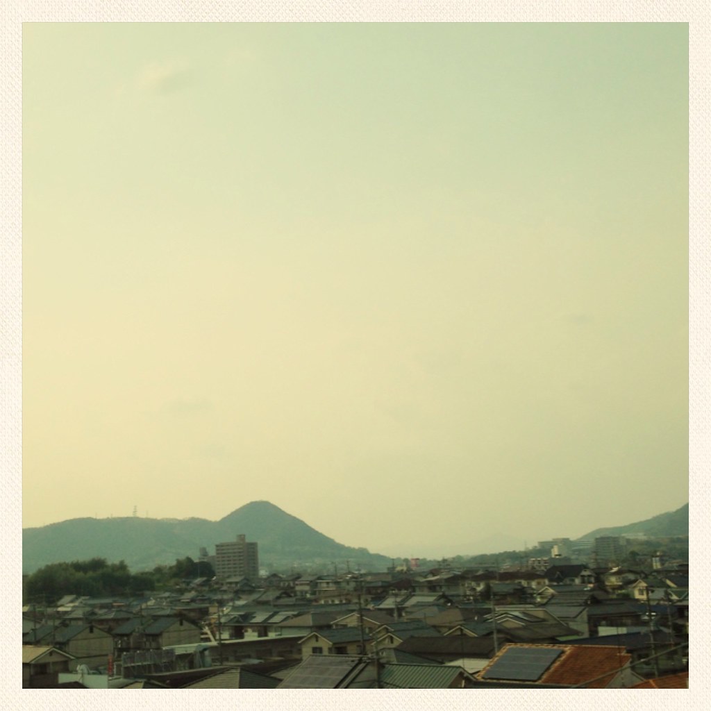
Elevation of Fukuyama, Hiroshima Prefecture, Japan
Location: Japan > Hiroshima Prefecture >
Longitude: 133.362312
Latitude: 34.4858993
Elevation: 5m / 16feet
Barometric Pressure: 101KPa
Elevation Map:
Satellite Map:
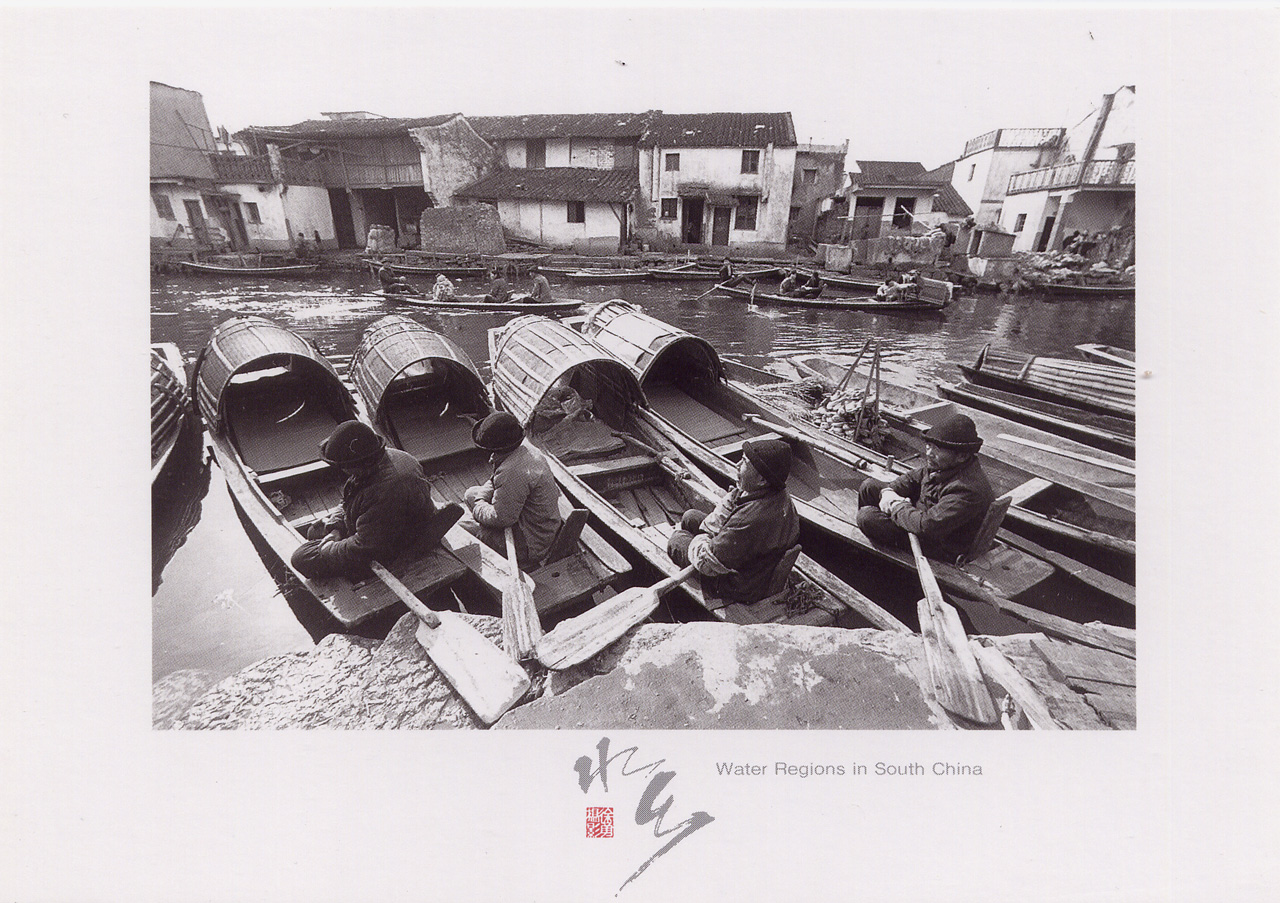
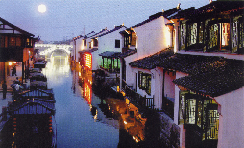
Related Photos:

Through the Noren: Iroha Ryokan Tomonoura Hiroshima Japan
from More (Private Swap)
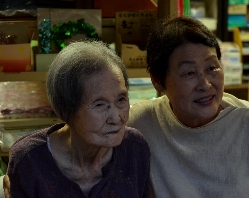
Mother & Daughter: Viewing the Autumn Festival Tomonoura Hiroshima Japan
MY-46656
from More (Private Swap)
~ view from 'sakura 563' shinkansen ~

TW-512977
UA-153653
from Irah (my friend)

GR-20412
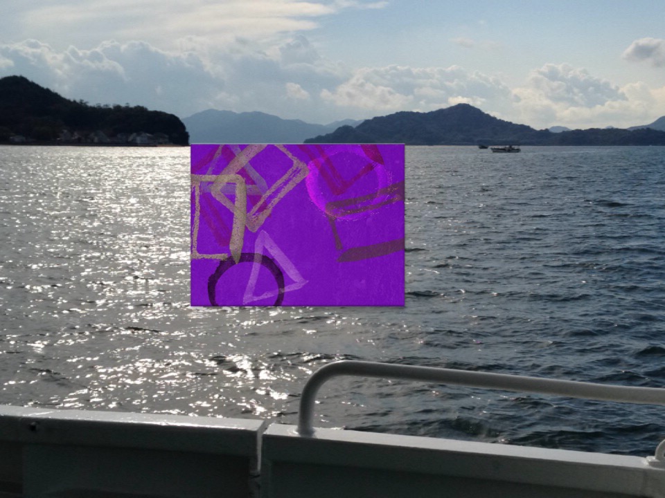
View of "Cercle, triangle et carré (feat. Sengai Gibon)" - Monday, 2 November 2015 - 13:42 GMT+0900
from More (Private Swap)

BY-214165
BG-6391
from Pan(private swap)
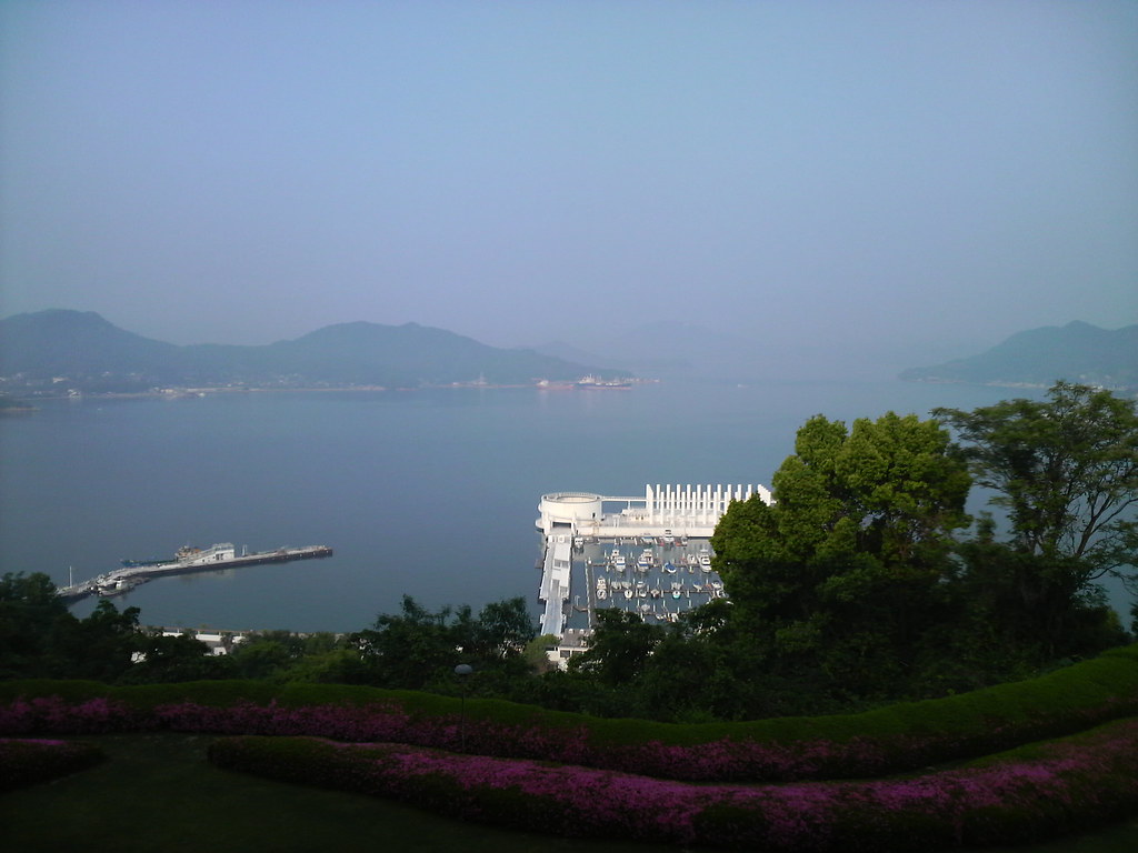
View from hotel room
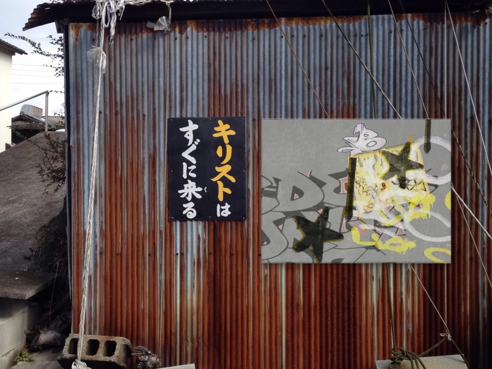
View of "Walls are talking" - Monday, 2 November 2015 - 13:53 GMT+0900
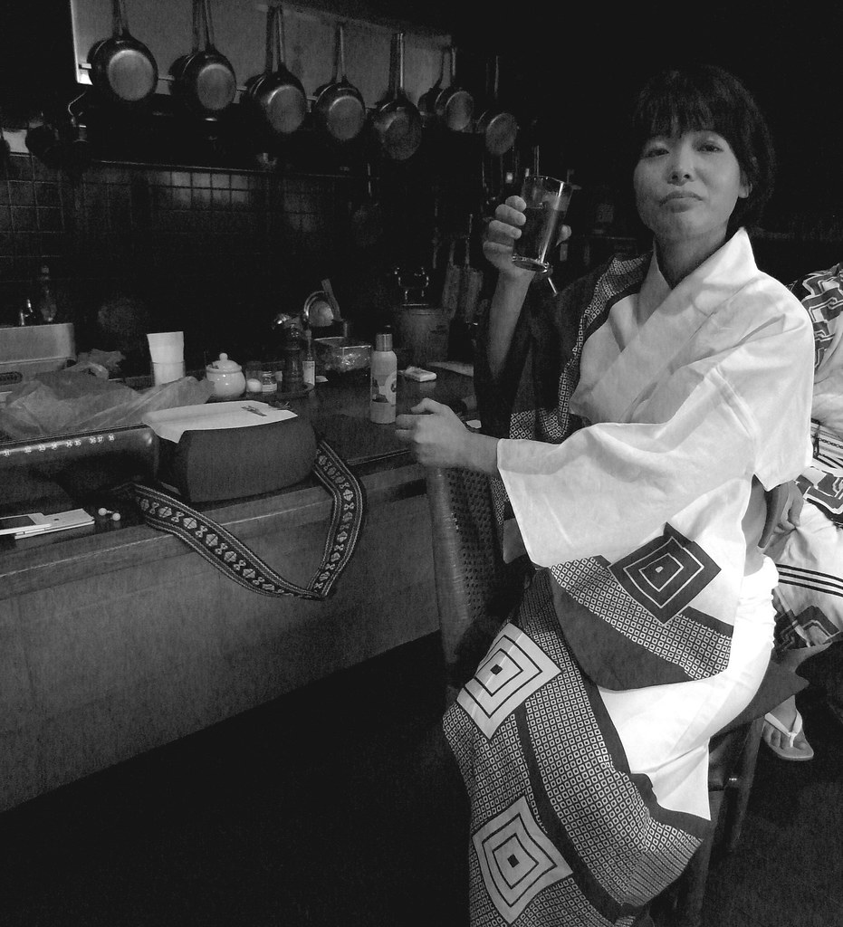
At the Bar: 454 Restaurant Tomonoura Hiroshima Japan
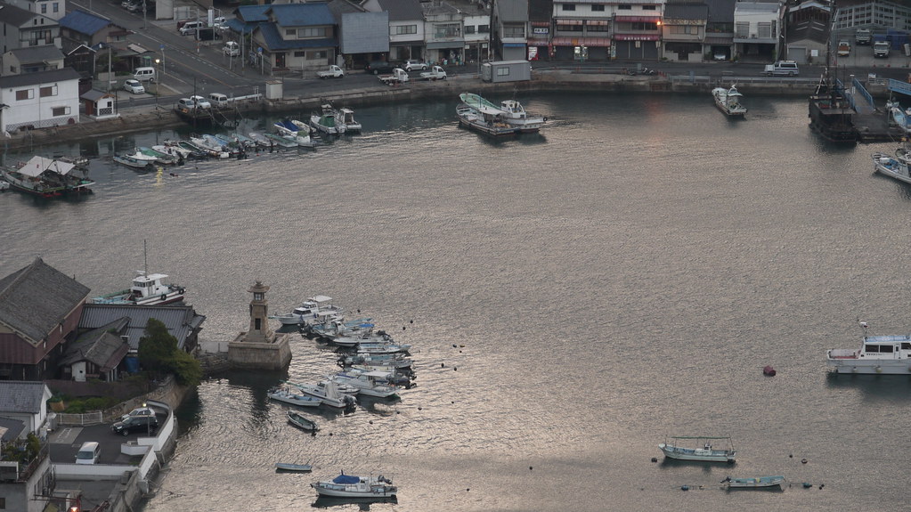
early morning port@Tomonoura,Japan
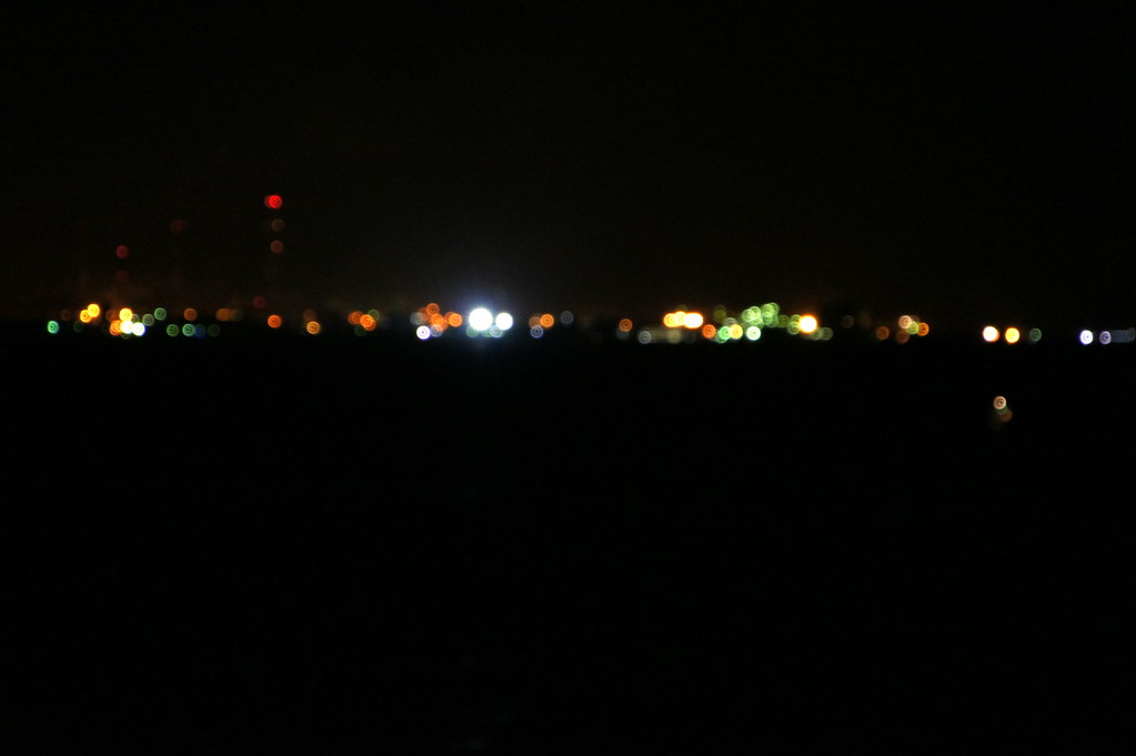
industrial complex

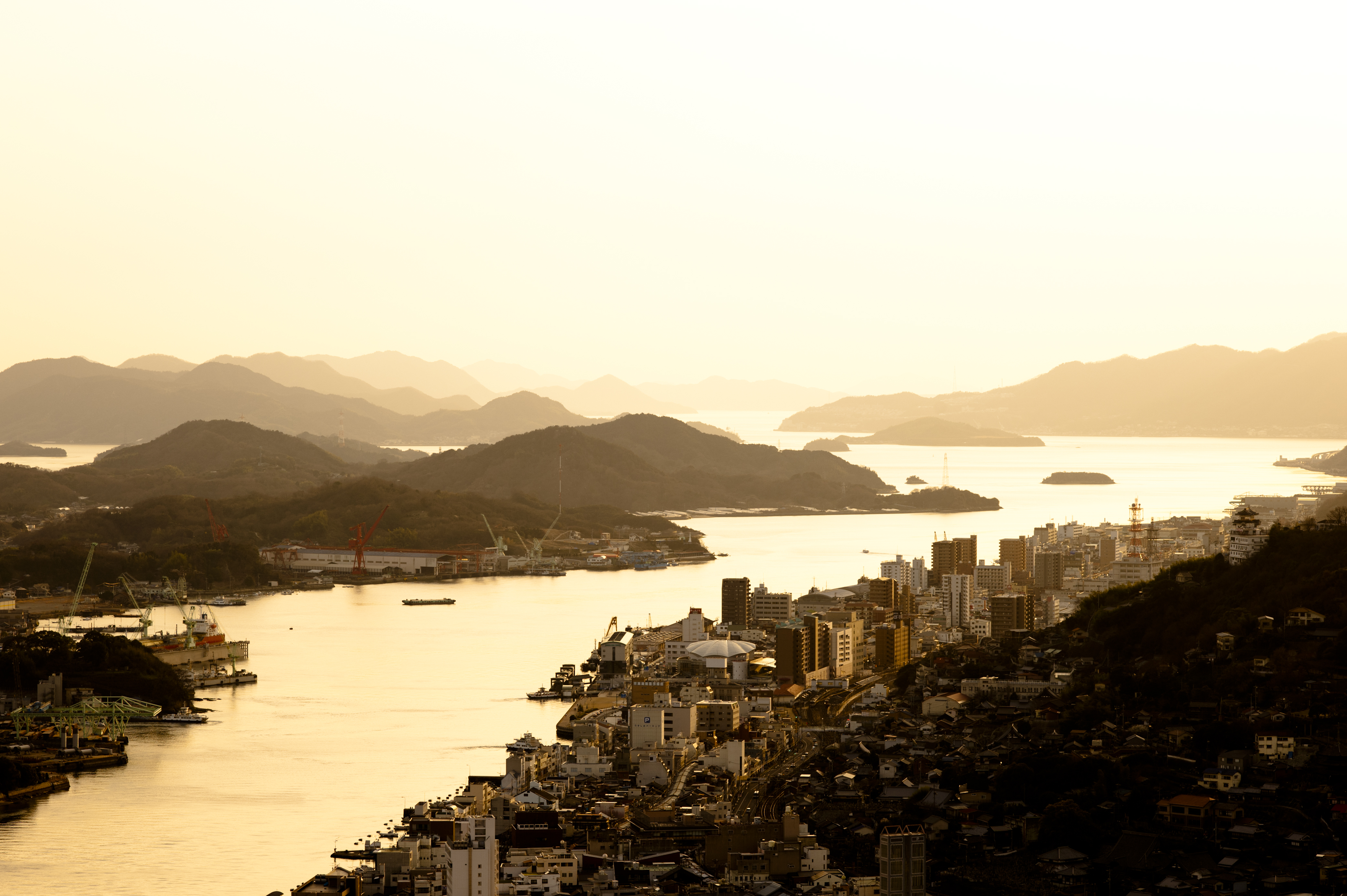
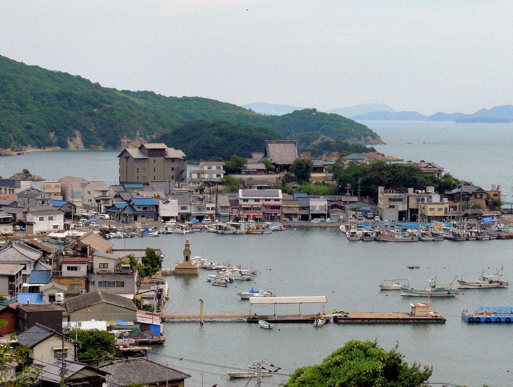
View of Tomo-no-ura and Bentenjima island
Glow of the sunset
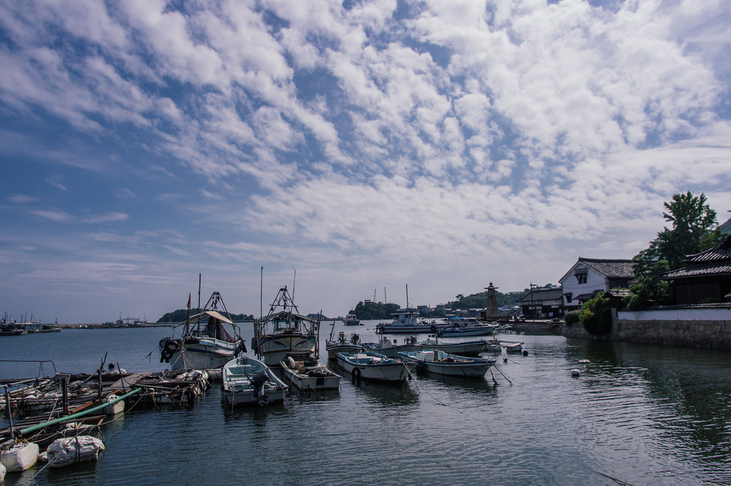
鞆港

鞆の浦
from Shellir(thanks card)
TW-315445

確かに閉店しとる

Family ties
the way to garden
inland sea japan

間もなく出航。
TW-299100
向 島 歌
CA-186629

芦田川
鞆の浦 #1

海にむかって食べる女子たち
from Agnieszka(my friend)

IT-82910
BR-159993
芦田側大橋

from Sara(private swap)
Topographic Map of Fukuyama, Hiroshima Prefecture, Japan
Find elevation by address:

Places in Fukuyama, Hiroshima Prefecture, Japan:
Gōbunchō, Fukuyama-shi, Hiroshima-ken -, Japan
Kannabechō Ōaza Kawaminami, Fukuyama-shi, Hiroshima-ken -, Japan
Shinichichō Ōaza Sagata, Fukuyama-shi, Hiroshima-ken -, Japan
Tomochōtomo, Fukuyama-shi, Hiroshima-ken -, Japan
Places near Fukuyama, Hiroshima Prefecture, Japan:
Gōbunchō, Fukuyama-shi, Hiroshima-ken -, Japan
Kannabechō Ōaza Kawaminami, Fukuyama-shi, Hiroshima-ken -, Japan
Tomochōtomo, Fukuyama-shi, Hiroshima-ken -, Japan
Shinichichō Ōaza Sagata, Fukuyama-shi, Hiroshima-ken -, Japan
-6 Urasakichō, Onomichi-shi, Hiroshima-ken -, Japan
Kōnoshima, Kasaoka-shi, Okayama-ken -, Japan
Momoshimachō, Onomichi-shi, Hiroshima-ken -, Japan
-2 Haradachō Obara, Onomichi-shi, Hiroshima-ken -, Japan
Kasaoka
Fuchu
Ibara
83-2 Kasaoka, Kasaoka-shi, Okayama-ken -, Japan
(株)桃谷工場
3 Chome-1170-160 Shintakayama
-4 Mukaihigashichō, Onomichi-shi, Hiroshima-ken -, Japan
Onomichi
-8 Toyohichō, Onomichi-shi, Hiroshima-ken -, Japan
Aonochō, Ibara-shi, Okayama-ken -, Japan
2 Chome-7-11 Tsuchidō
15-7 Higashitsuchidōchō
Recent Searches:
- Elevation of 1 Zion Park Blvd, Springdale, UT, USA
- Elevation of Ganderbal
- Elevation map of Konkan Division, Maharashtra, India
- Elevation of Netaji Nagar, Hallow Pul, Kurla, Mumbai, Maharashtra, India
- Elevation of Uralsk, Kazakhstan
- Elevation of 45- Kahana Dr, Honokaa, HI, USA
- Elevation of New Mexico 30, NM-30, Española, NM, USA
- Elevation of Santmyer Way, Charles Town, WV, USA
- Elevation of Riserva Naturale Lago di Montepulciano, Italy
- Elevation of Marjorie Lane, Marjorie Ln, Whitefield, NH, USA