Elevation of -26 Kamogatachō Kamogata, Asakuchi-shi, Okayama-ken -, Japan
Location: Japan > Okayama Prefecture >
Longitude: 133.584007
Latitude: 34.5323498
Elevation: 19m / 62feet
Barometric Pressure: 101KPa
Elevation Map:
Satellite Map:
Related Photos:

Southwest view of the Oda River(小田川) from Sakurahashi Bridge(桜橋)

Northwest view of the Oda River(小田川) from Sakurahashi Bridge(桜橋)

Northeast view of the Oda River(小田川) from Sakurahashi Bridge(桜橋)/ Sakurahashi Park(桜橋公園)on the right

DSC06564.JPG
_DSC4555_edited-2
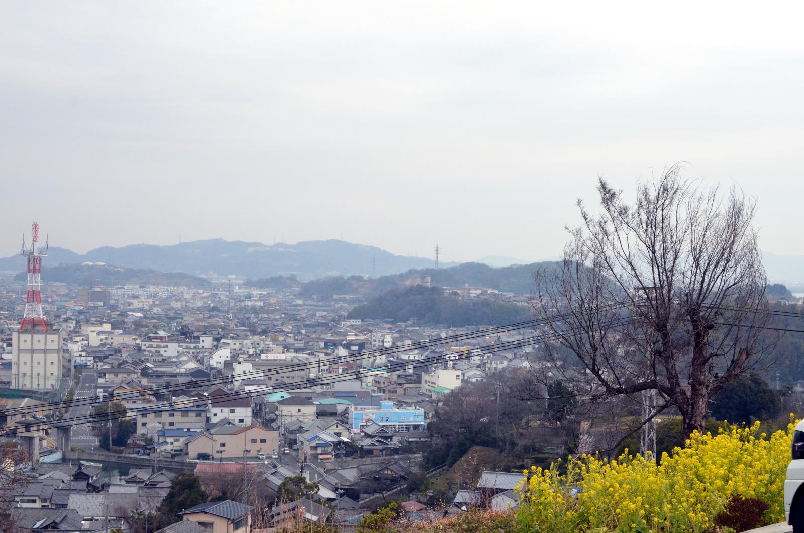
円通寺駐車場からの眺め view from Entsuji-temple in Kurashiki
DSC06563.JPG

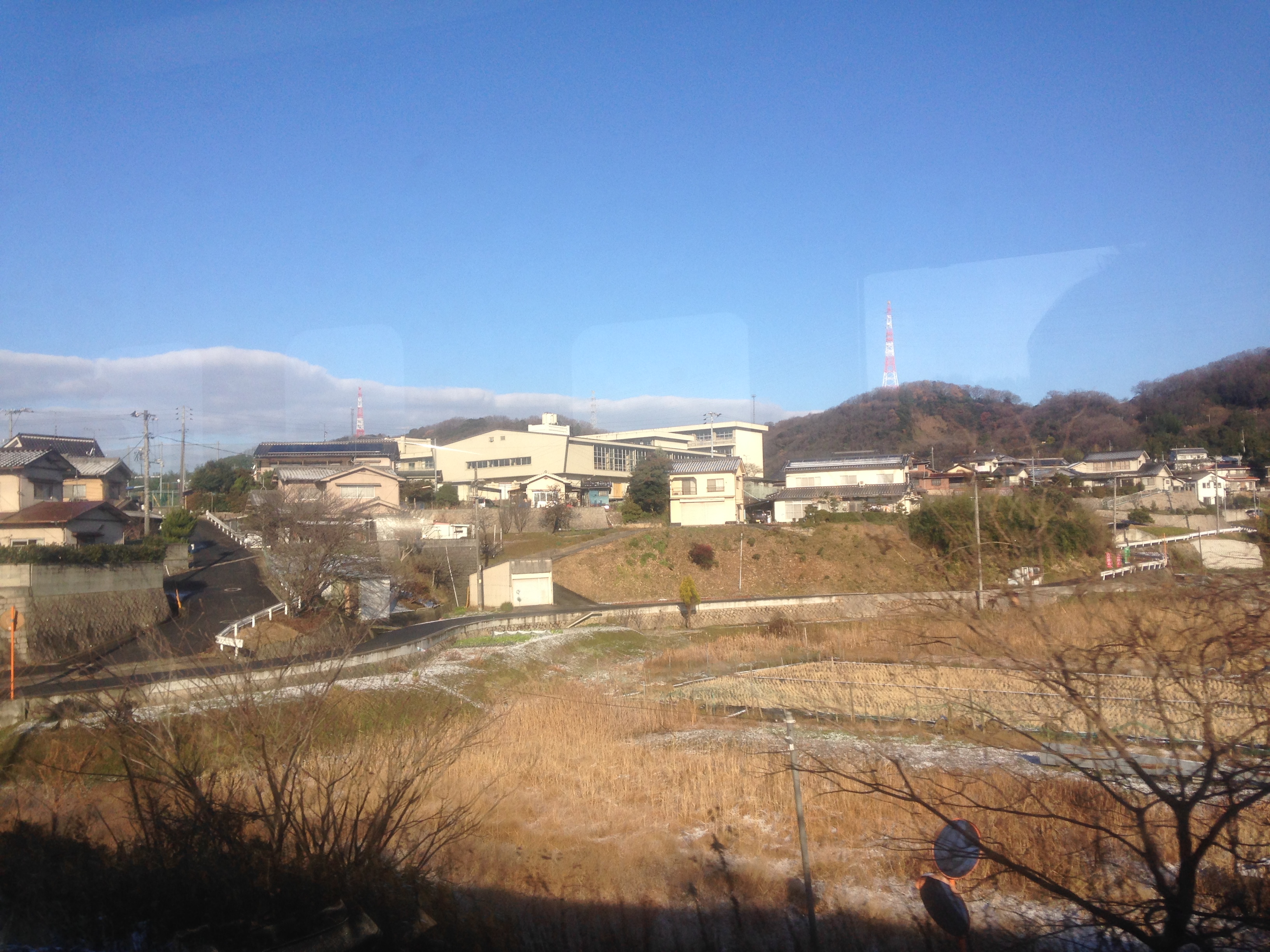
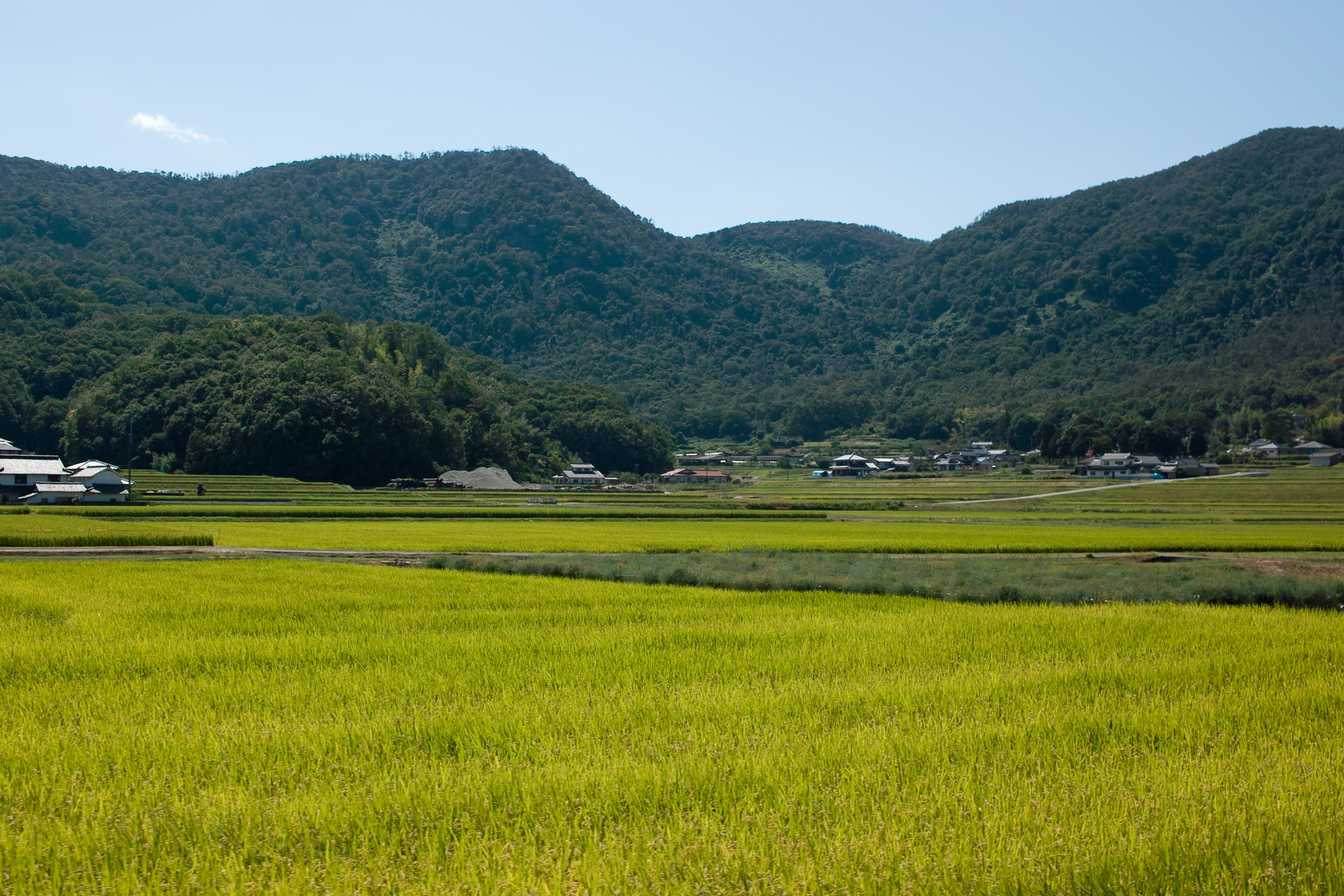
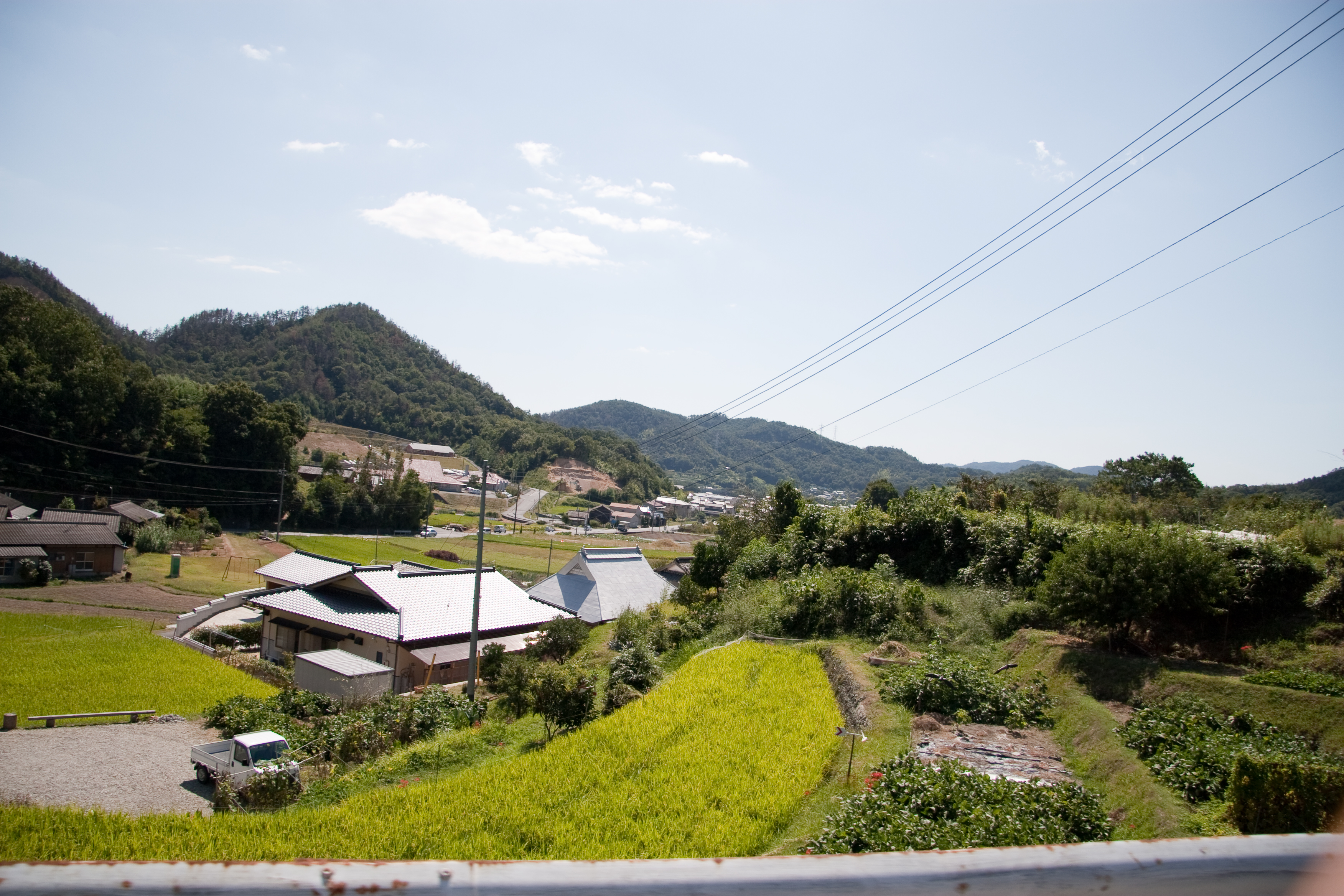
A view of very green rice fields and hills while aboard the Ibara train bound for Kurashiki (Okayama)
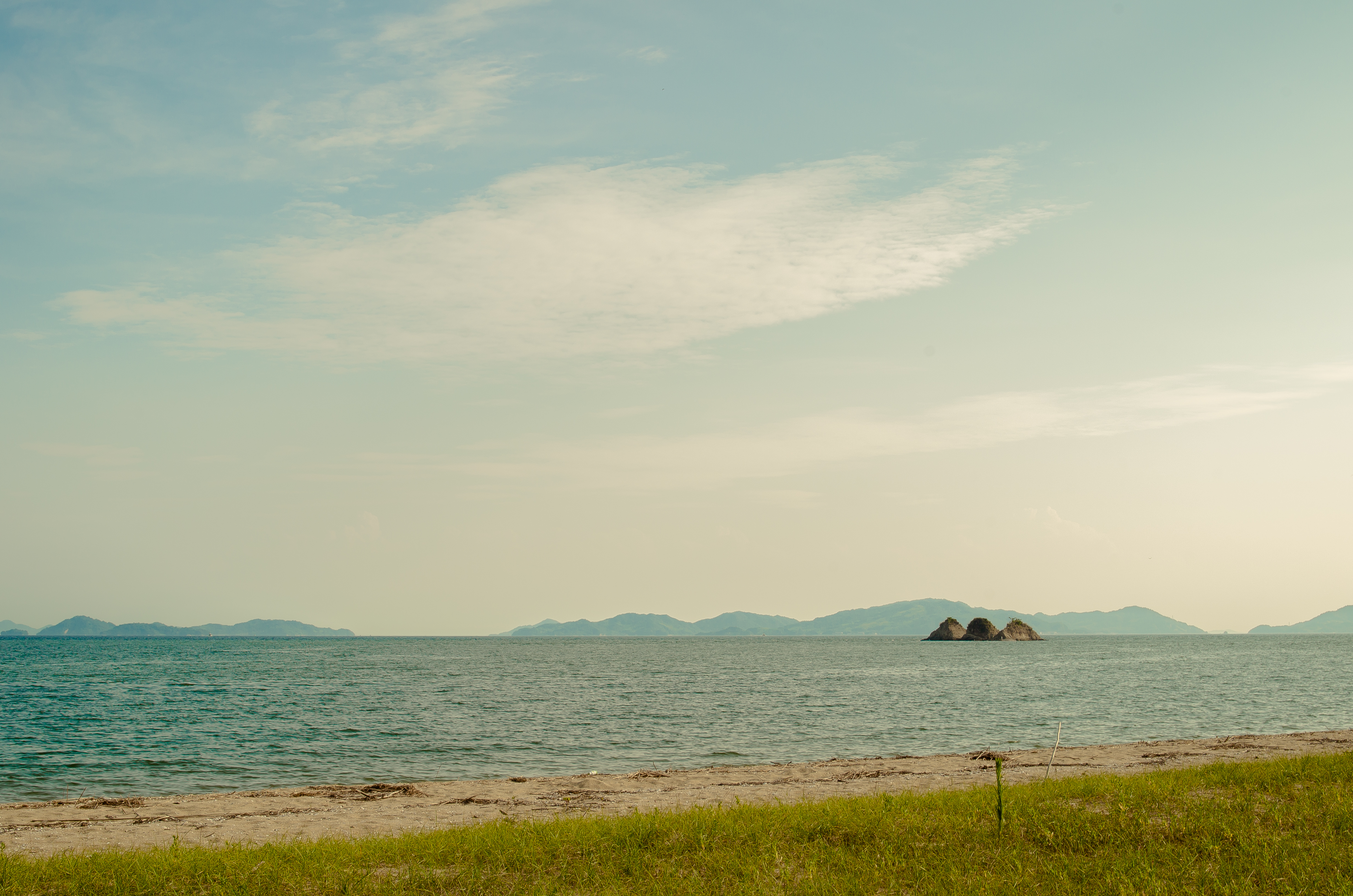
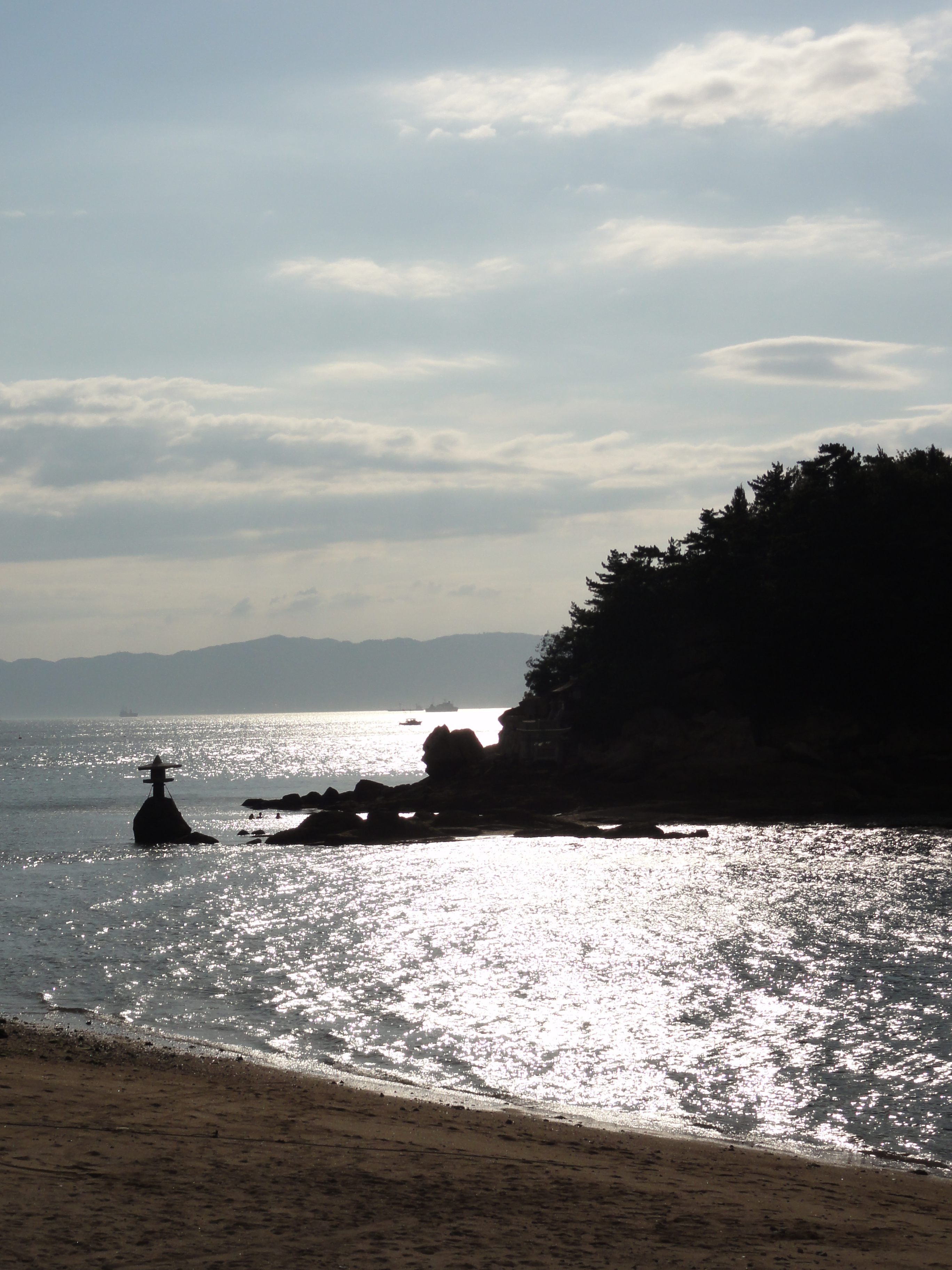
Three Island 三郎島

Train Car Pano
*
the way to garden
菜の花畑
air terjun ibara (waterfall near home)
厳島神社 原爆ドーム
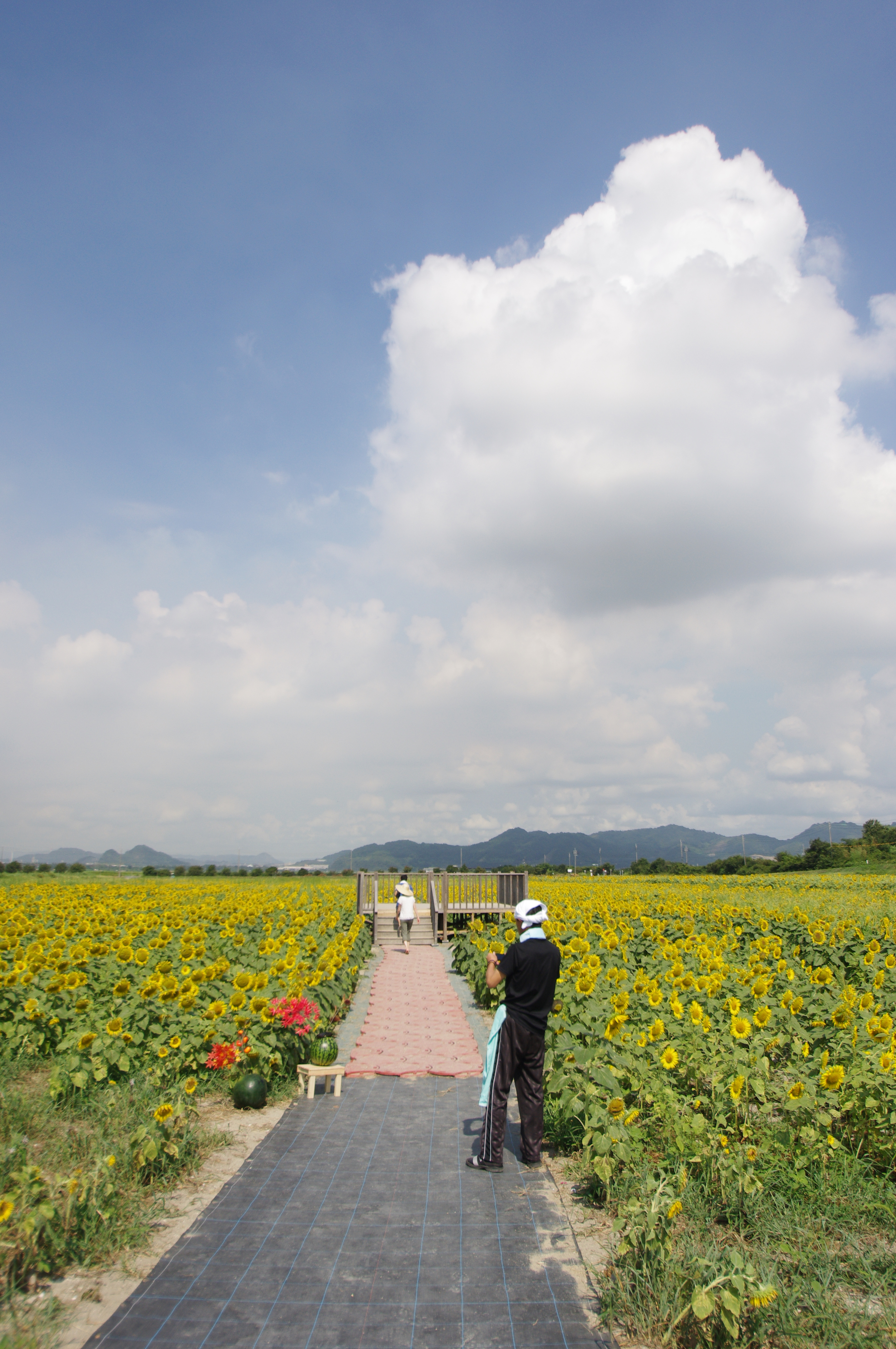
Sunflower field
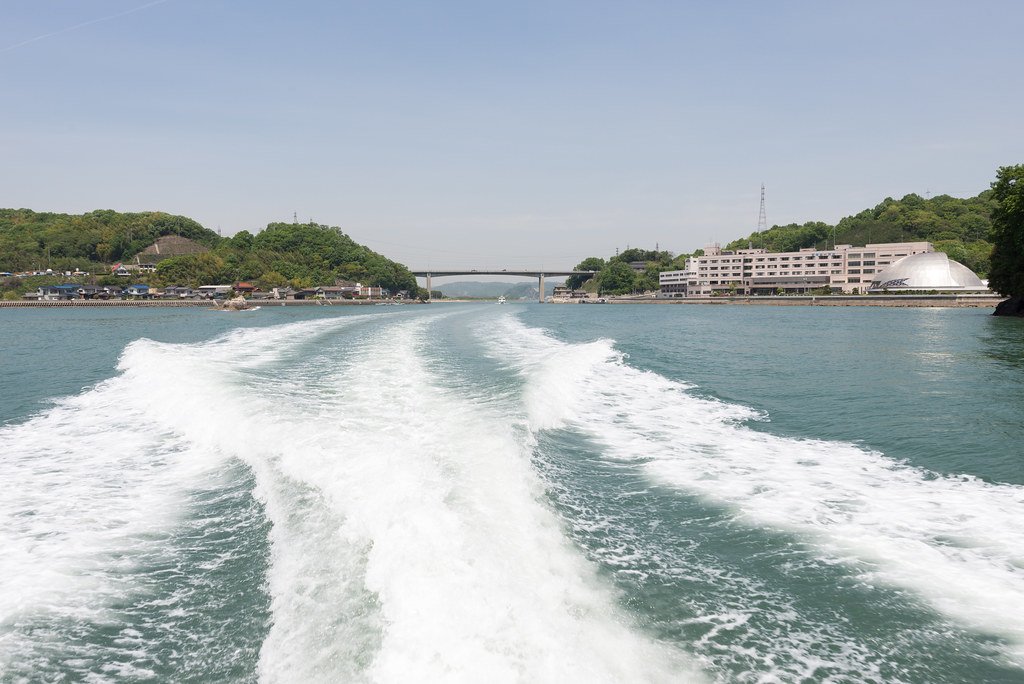
フェリー
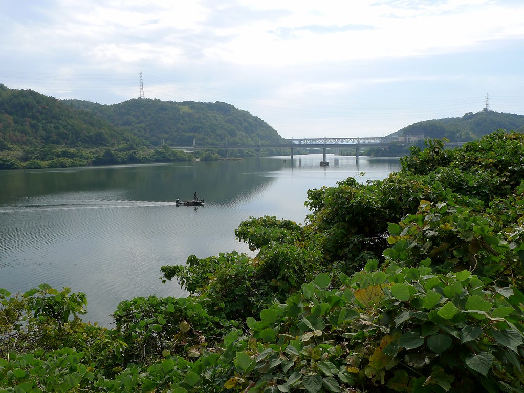
Yanaibara Reservoir (柳井原貯水池)
Let's go to Matsue!
IMG_4085.JPG
IMG_4086.JPG
2012/05/16
DSC04543.JPG
フェリー
DSC04531.JPG
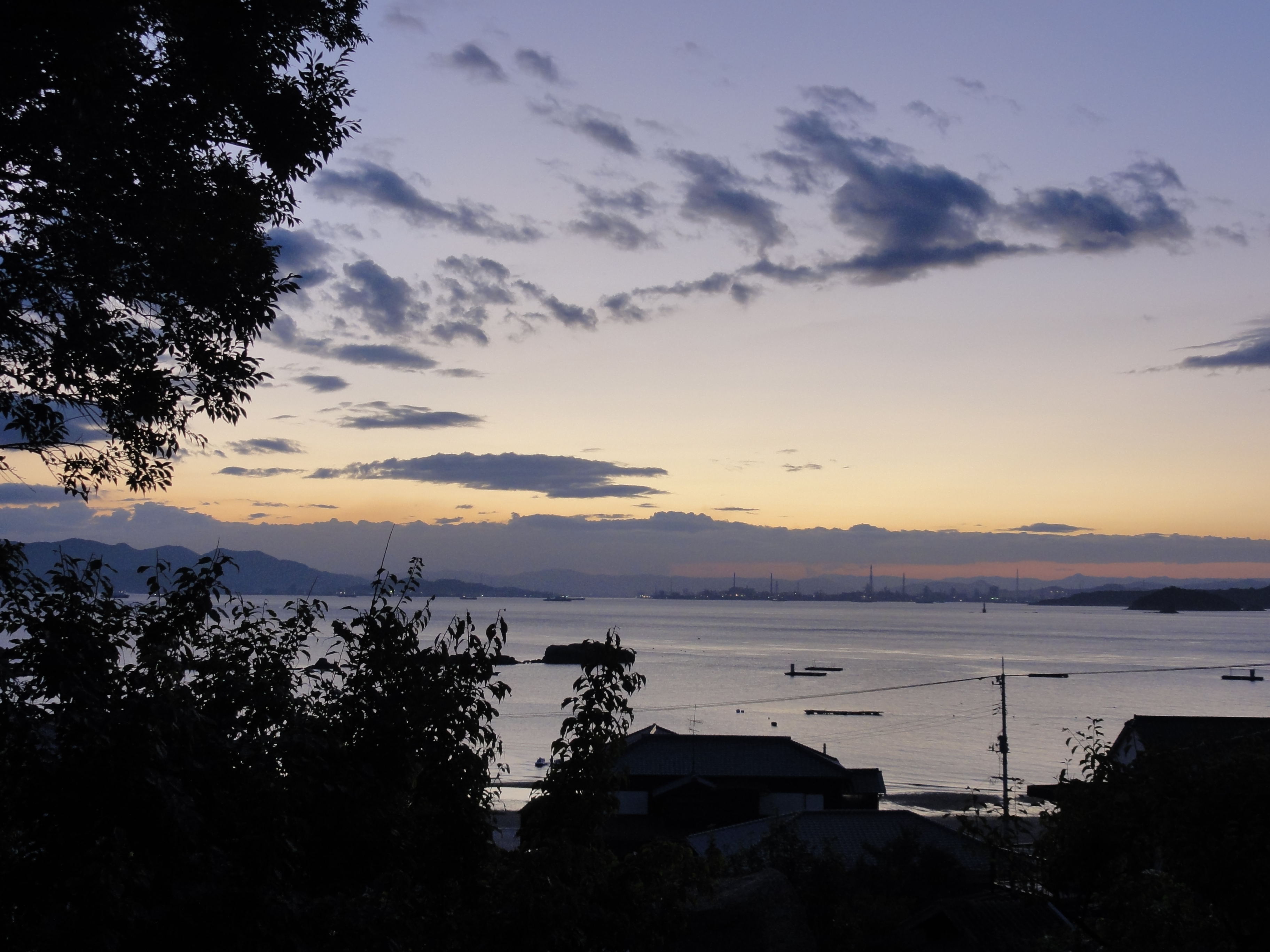
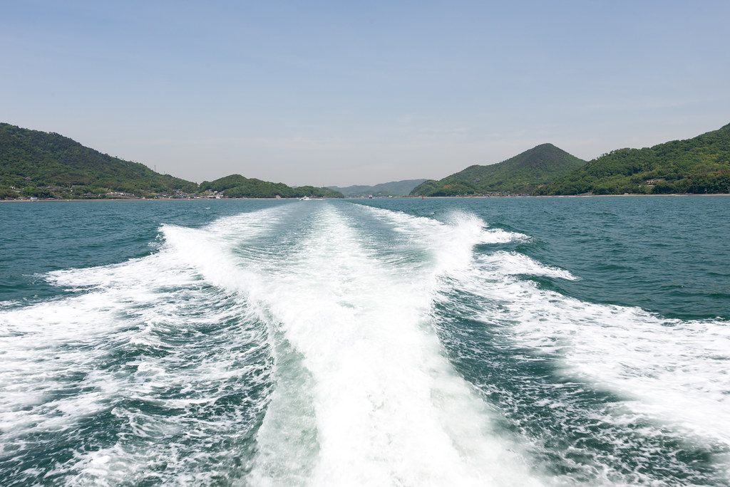
Inland sea Setouchi Japan
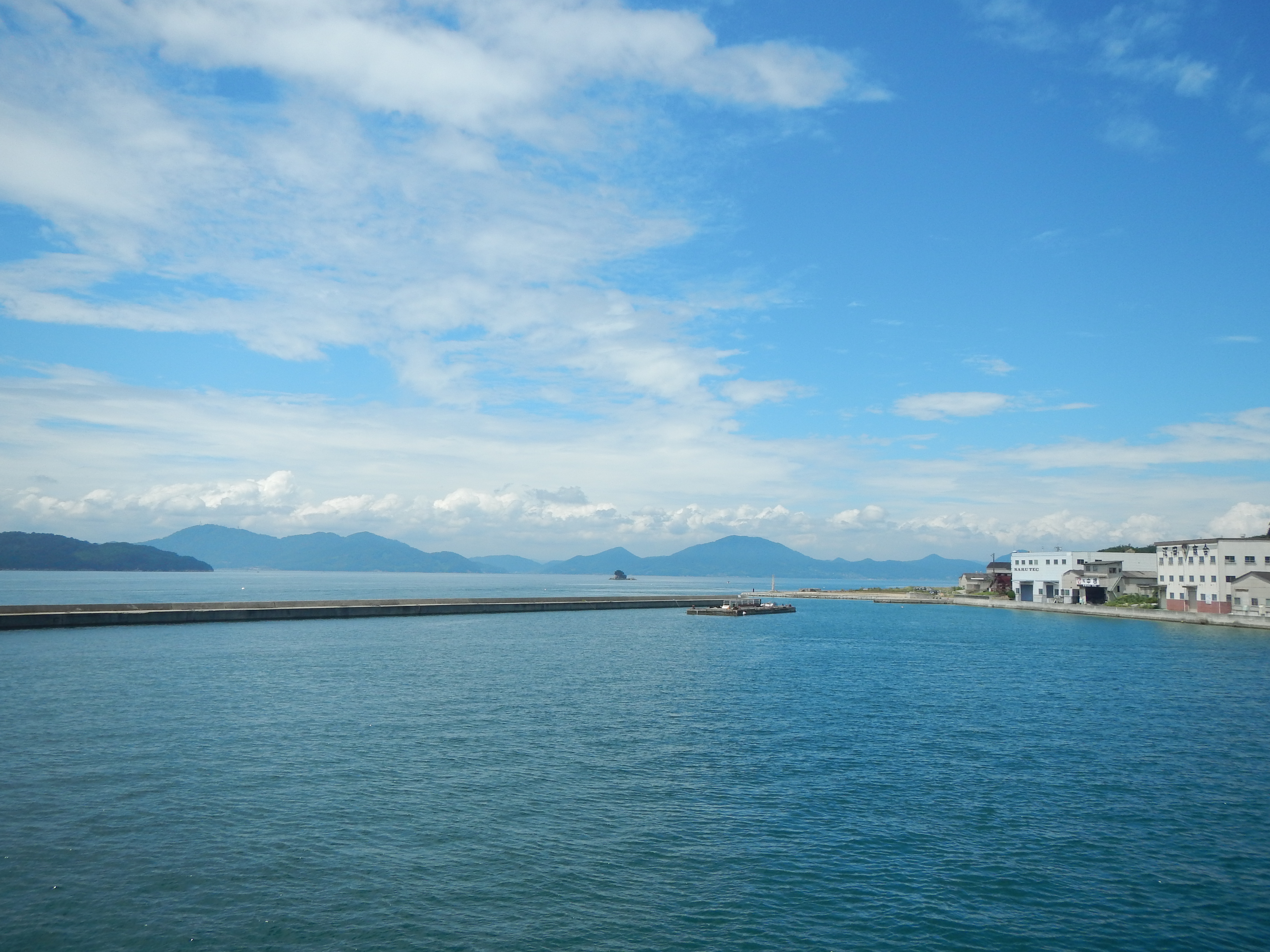
Inland sea Setouchi Japan
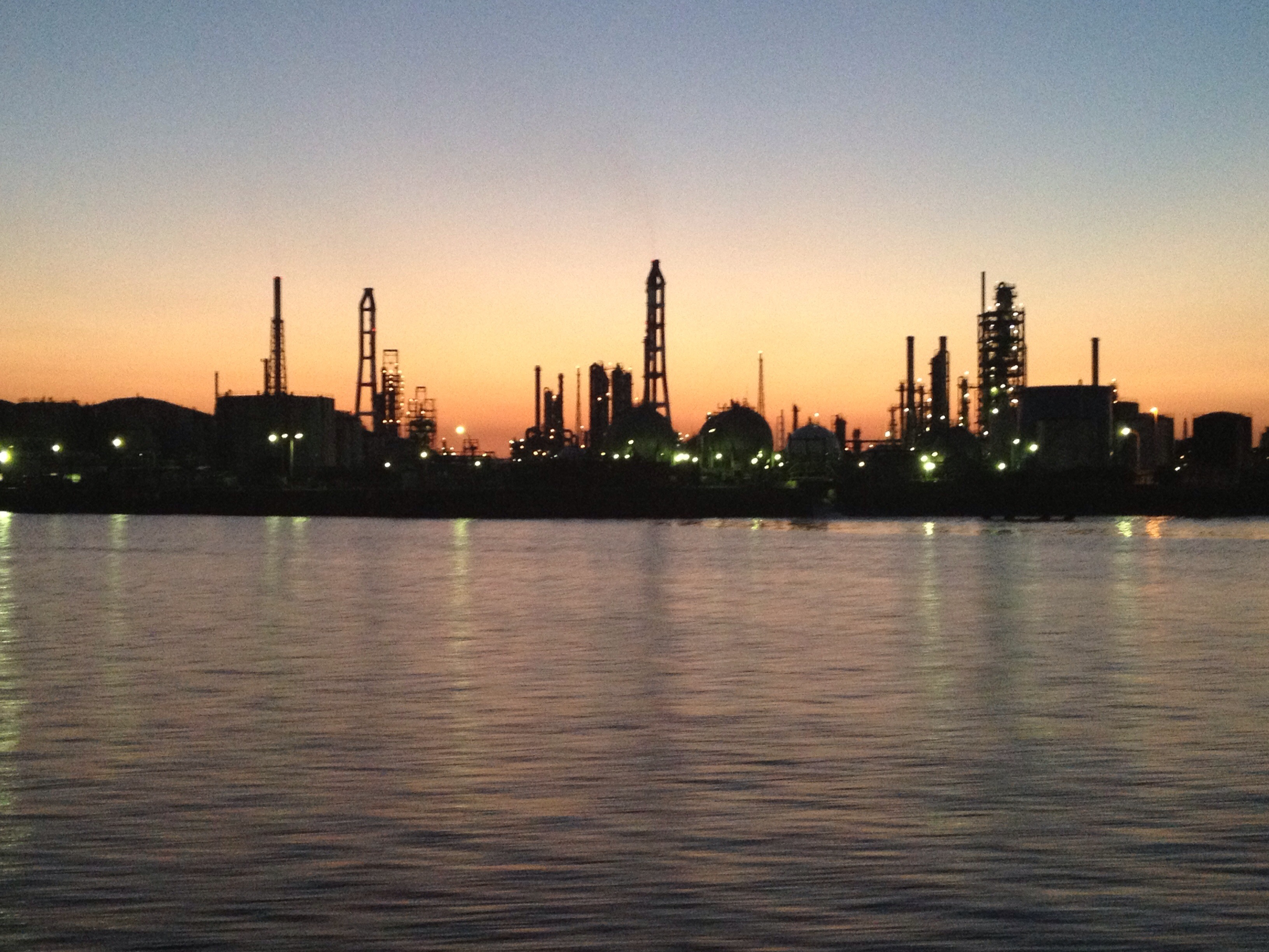
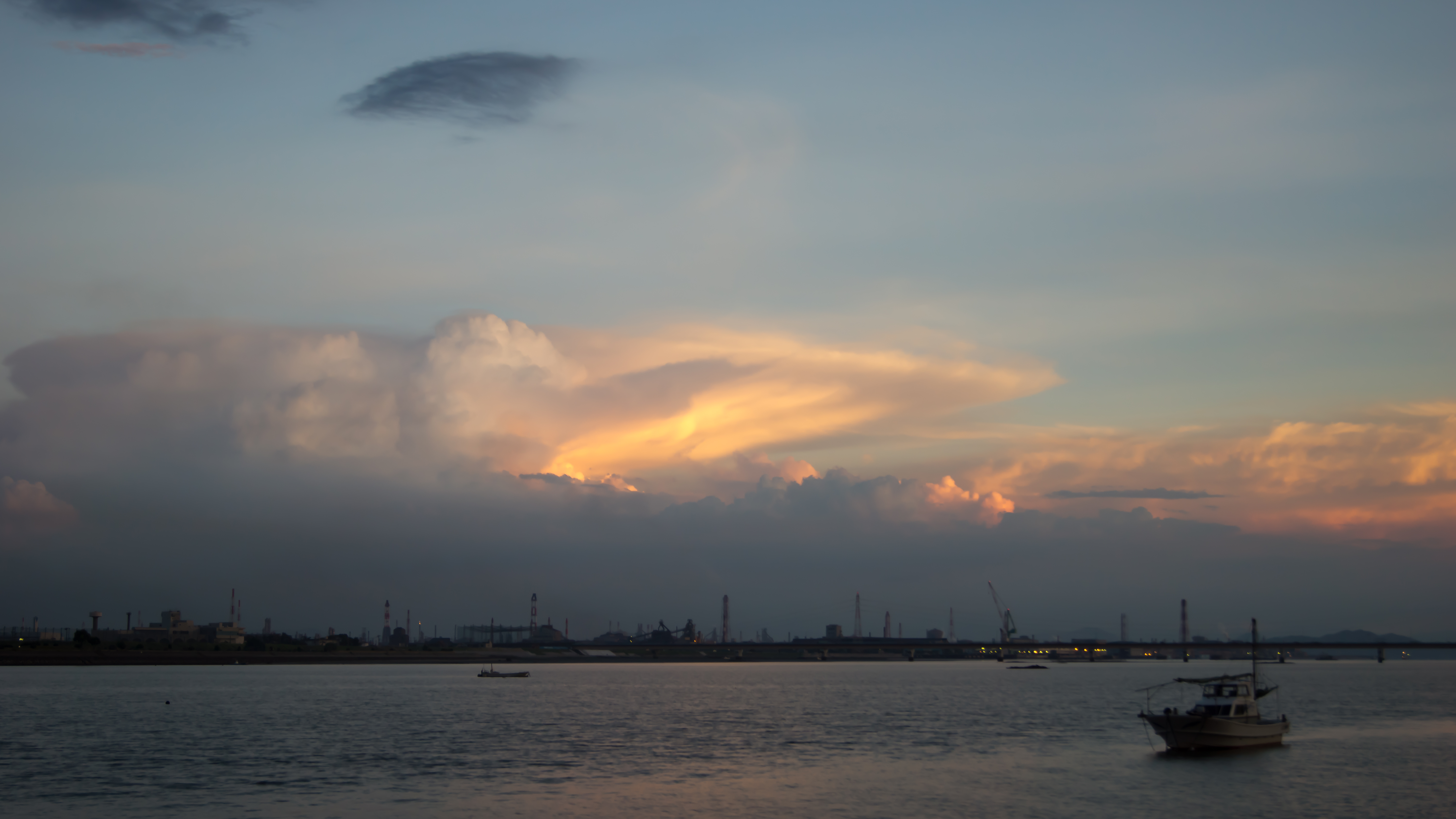
水島コンビナート
_DSC4569 copy
Let's go to Matsue!
DSC04530.JPG
Topographic Map of -26 Kamogatachō Kamogata, Asakuchi-shi, Okayama-ken -, Japan
Find elevation by address:

Places near -26 Kamogatachō Kamogata, Asakuchi-shi, Okayama-ken -, Japan:
83-2 Kasaoka, Kasaoka-shi, Okayama-ken -, Japan
Kasaoka
Yakage
Yakage, Yakage-chō, Oda-gun, Okayama-ken -, Japan
Oda District
Kōnoshima, Kasaoka-shi, Okayama-ken -, Japan
Ibara
Aonochō, Ibara-shi, Okayama-ken -, Japan
Kannabechō Ōaza Kawaminami, Fukuyama-shi, Hiroshima-ken -, Japan
Hishima, Kasaoka-shi, Okayama-ken -, Japan
Fukuyama
Tomochōtomo, Fukuyama-shi, Hiroshima-ken -, Japan
Nariwachō Shimohara, Takahashi-shi, Okayama-ken -, Japan
Gōbunchō, Fukuyama-shi, Hiroshima-ken -, Japan
Ujichō Uji, Takahashi-shi, Okayama-ken -, Japan
Shinichichō Ōaza Sagata, Fukuyama-shi, Hiroshima-ken -, Japan
-6 Urasakichō, Onomichi-shi, Hiroshima-ken -, Japan
Shimotoyomatsu, Jinsekikōgen-chō, Jinseki-gun, Hiroshima-ken -, Japan
Fuchu
Momoshimachō, Onomichi-shi, Hiroshima-ken -, Japan
Recent Searches:
- Elevation of 62 Abbey St, Marshfield, MA, USA
- Elevation of Fernwood, Bradenton, FL, USA
- Elevation of Felindre, Swansea SA5 7LU, UK
- Elevation of Leyte Industrial Development Estate, Isabel, Leyte, Philippines
- Elevation of W Granada St, Tampa, FL, USA
- Elevation of Pykes Down, Ivybridge PL21 0BY, UK
- Elevation of Jalan Senandin, Lutong, Miri, Sarawak, Malaysia
- Elevation of Bilohirs'k
- Elevation of 30 Oak Lawn Dr, Barkhamsted, CT, USA
- Elevation of Luther Road, Luther Rd, Auburn, CA, USA