Elevation of 7th St N, Northwood, IA, USA
Location: United States > Iowa > Worth County > Grove > Northwood >
Longitude: -93.222525
Latitude: 43.4469089
Elevation: -10000m / -32808feet
Barometric Pressure: 295KPa
Elevation Map:
Satellite Map:
Related Photos:

Bridley Auto Salvage MN
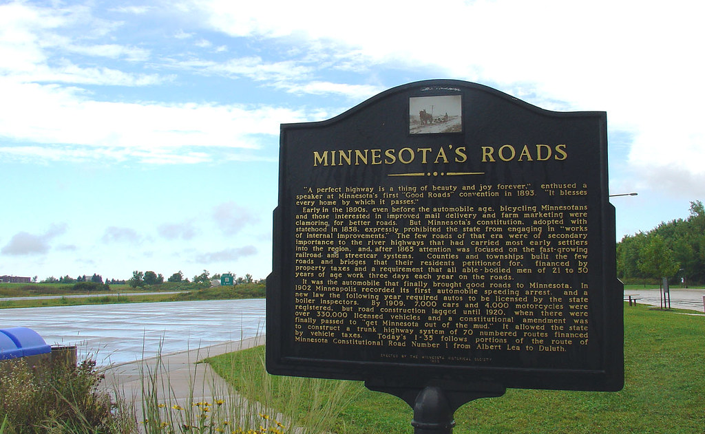
Minnesota's Roads marker, 8 Sept 2005

Farmers Butter & Cheese Assn. (rear view) - Northwood, IA

Welcome to Minnesota marker, 8 Sept 2005

Approaching Glenville on County Road 81
I have run into ( a couple of) Walls

(tendency) Toward Introspection

minnesota barn in autumn

Shell Rock River, Glenville

Windmills in north Iowa, 22 Sept 2004

CN 8815 - London, MN
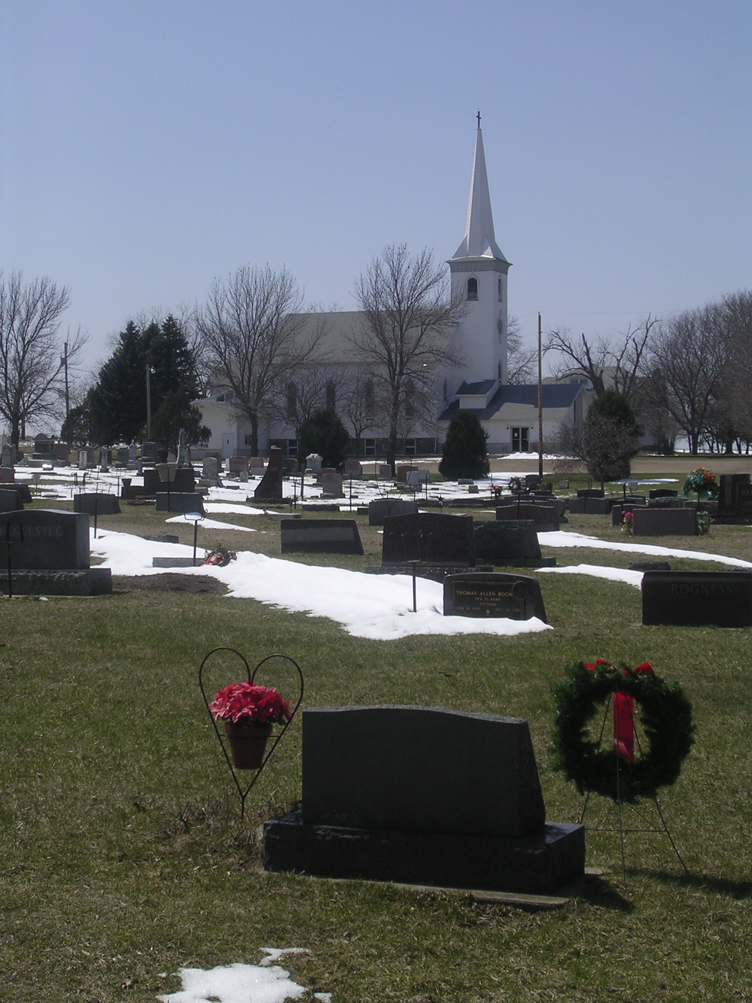
Silver Lake Lutheran Church

Freeborn Co Rd 106 / Old U.S. 65, Jefferson Highway

Iowa Wind Power

wind turbines, northern Iowa

County Road 1 Westbound from County Road 106

Human Impact 8
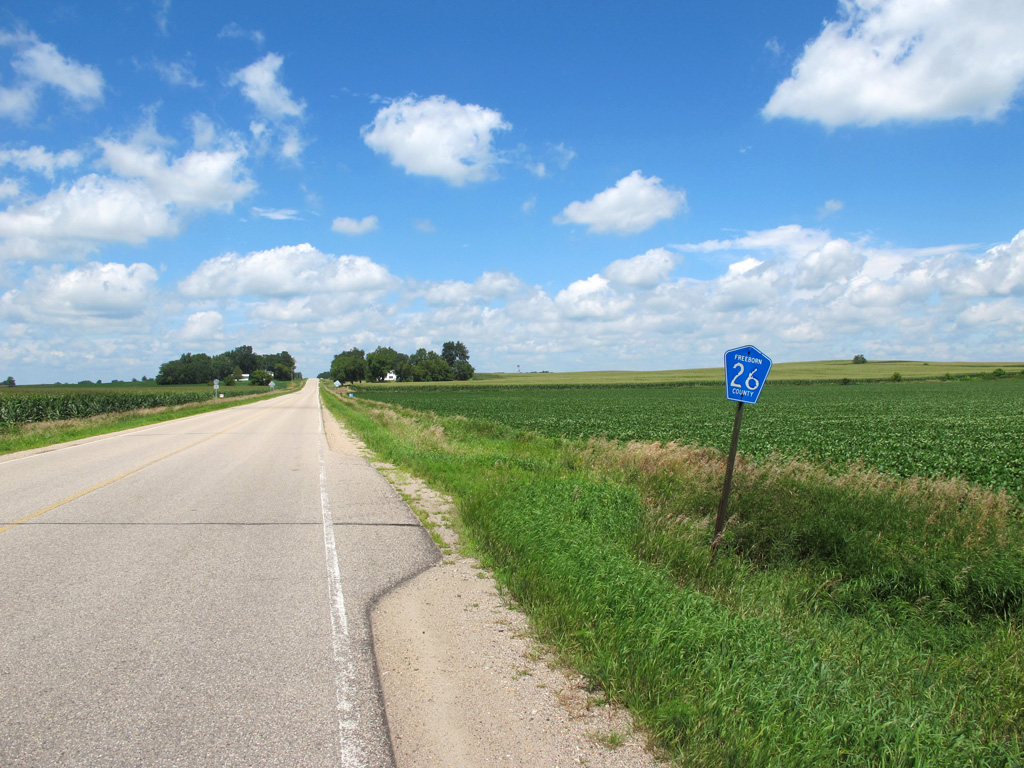
Northbound on County Road 26.

County Road 106 at the Minnesota/Iowa State Line

Old State Line Crossing

End of the Pavement, Co Rd 81

Greetings from Sustainable Iowa

#minneapolis2016
Topographic Map of 7th St N, Northwood, IA, USA
Find elevation by address:

Places near 7th St N, Northwood, IA, USA:
Northwood
Grove
th St, Glenville, MN, USA
Shell Rock Township
W Main St, Glenville, MN, USA
Worth County
E Main St, Manly, IA, USA
Grafton
3rd St, Grafton, IA, USA
Union
Lime Creek
Main St, Plymouth, IA, USA
Plymouth
Twin Lakes
Miller Dr, Twin Lakes, MN, USA
th St, Mason City, IA, USA
Grouse Avenue
Falls
Warbler Ave, Plymouth, IA, USA
Rock Falls
Recent Searches:
- Elevation of 7 Waterfall Way, Tomball, TX, USA
- Elevation of SW 57th Ave, Portland, OR, USA
- Elevation of Crocker Dr, Vacaville, CA, USA
- Elevation of Pu Ngaol Community Meeting Hall, HWHM+3X7, Krong Saen Monourom, Cambodia
- Elevation of Royal Ontario Museum, Queens Park, Toronto, ON M5S 2C6, Canada
- Elevation of Groblershoop, South Africa
- Elevation of Power Generation Enterprises | Industrial Diesel Generators, Oak Ave, Canyon Country, CA, USA
- Elevation of Chesaw Rd, Oroville, WA, USA
- Elevation of N, Mt Pleasant, UT, USA
- Elevation of 6 Rue Jules Ferry, Beausoleil, France