Elevation of 75 W Dude Ranch Rd, Monticello, UT, USA
Location: United States > Utah > San Juan County > Monticello >
Longitude: -109.39824
Latitude: 37.7693035
Elevation: 2234m / 7329feet
Barometric Pressure: 77KPa
Elevation Map:
Satellite Map:
Related Photos:
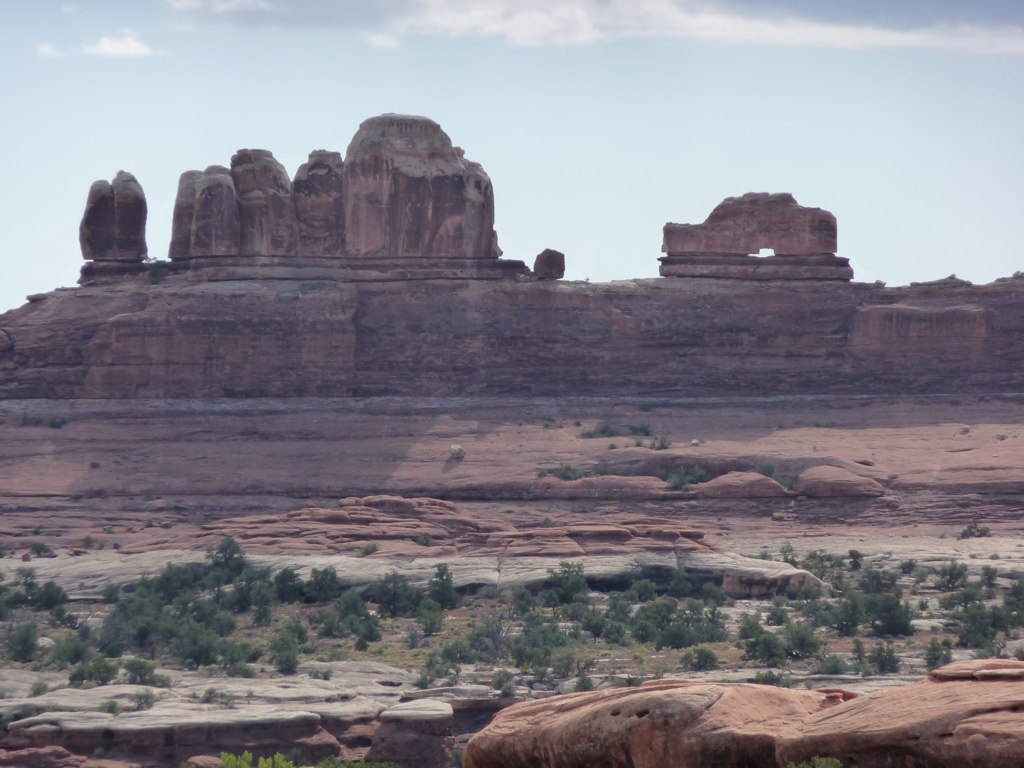
canyonlands bookmark

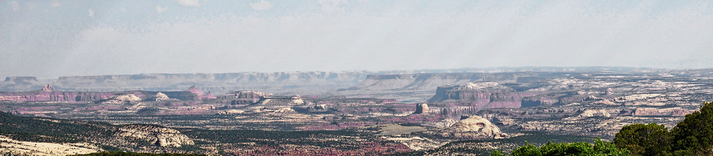
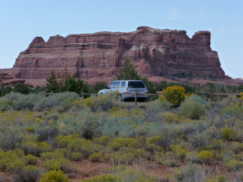
RAV4 parking, big view version
Morning has Broken
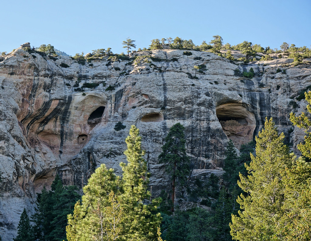
Dry Wash Cave Ruins
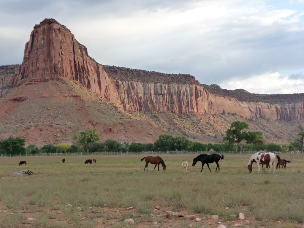
Monticello View

View down to Blanding from the Shay Ridge Quad Trail, Manti-La Sal National Forest, at the edge of Bears Ears National Monument.
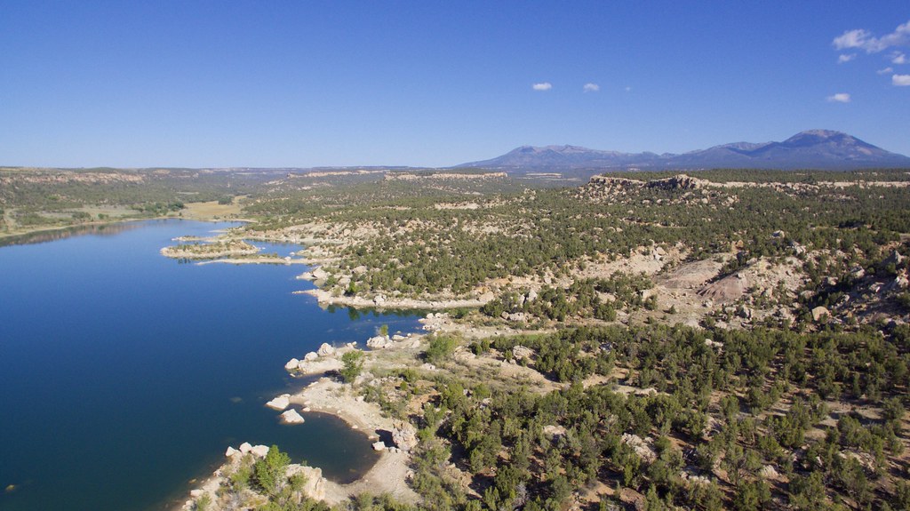
DJI Phantom Photos in Utah, Monument Valley and Mexican Hat
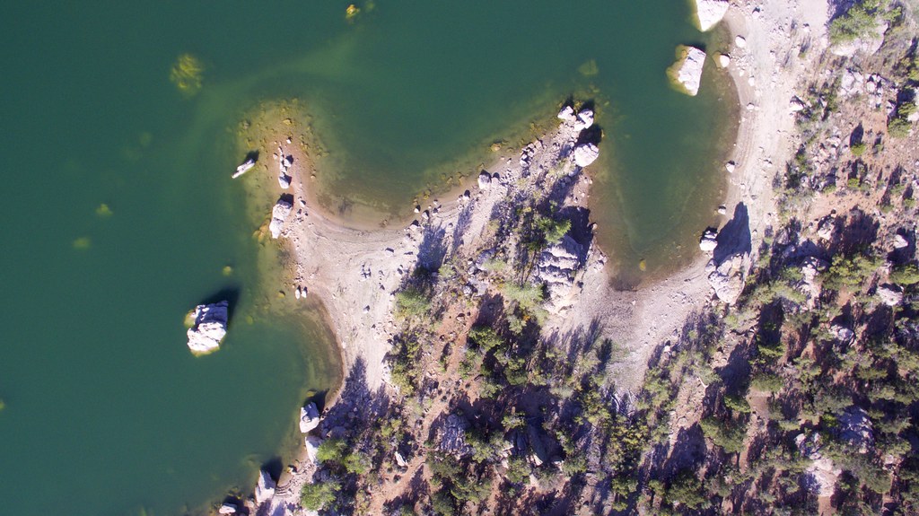
DJI Phantom Photos in Utah, Monument Valley and Mexican Hat
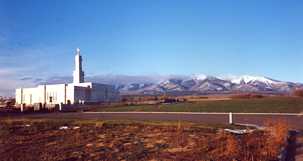
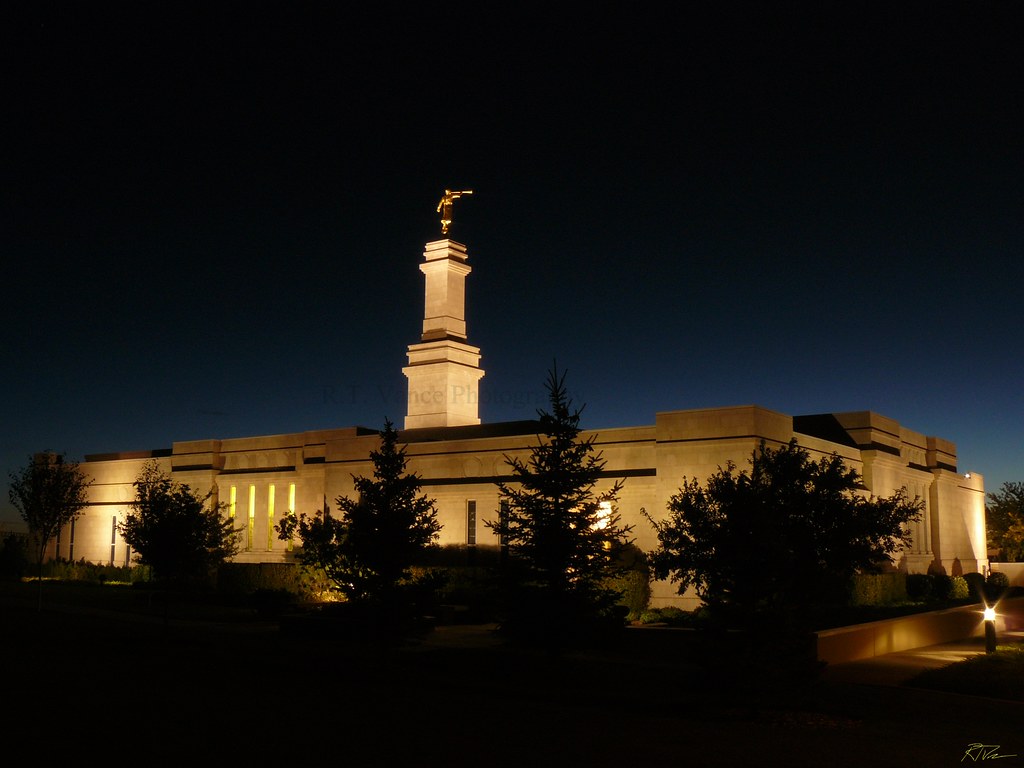
2000.11.04.11 Southern Utah LDS Temple
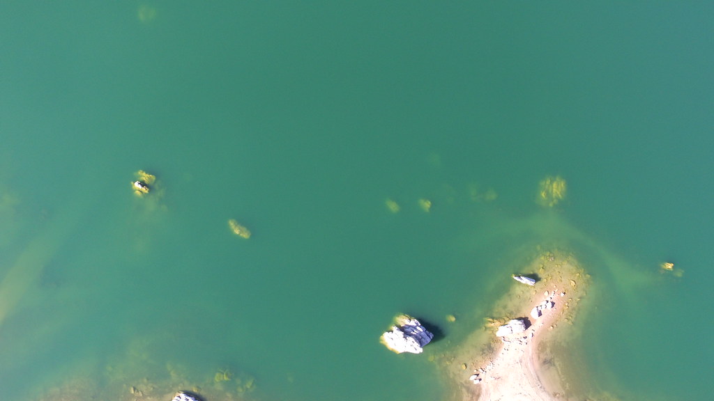
DJI Phantom Photos in Utah, Monument Valley and Mexican Hat

P1040608.JPG

Springtime Storms and Beautiful Skies

Blanding - Winter Clouds

IMG_7915 - 2012-10-12 at 05-29-17

DJI Phantom Photos in Utah, Monument Valley and Mexican Hat

Abajo Loop State Scenic Backway
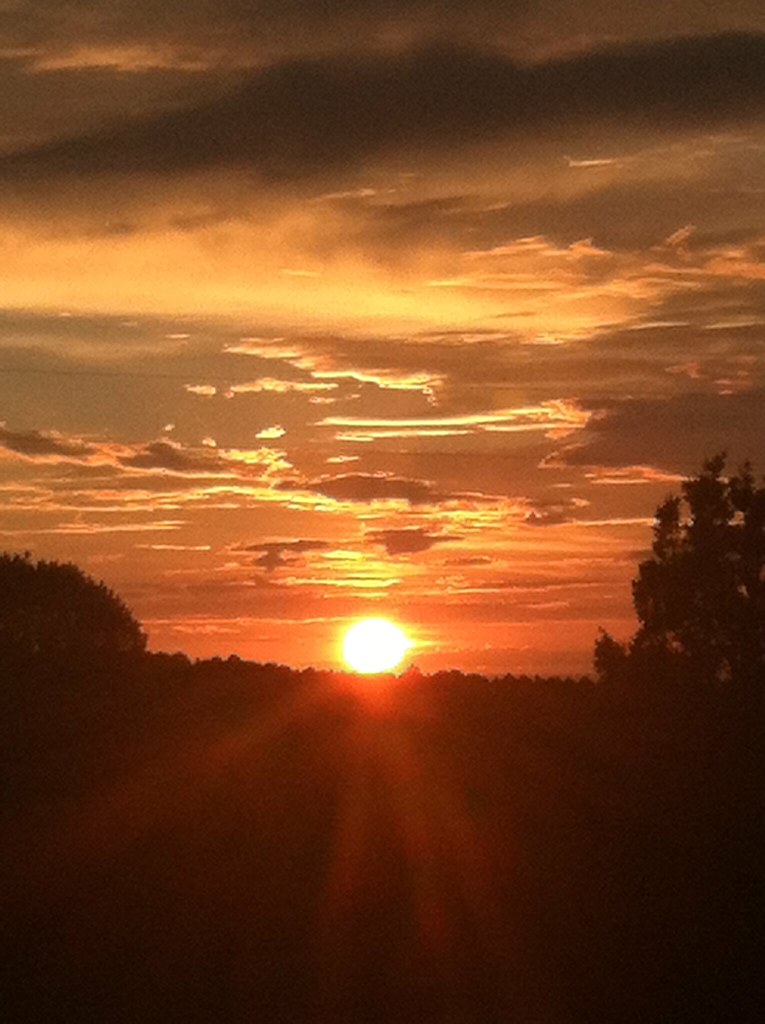
Sunrise San Juan County, Utah

P1040426.JPG
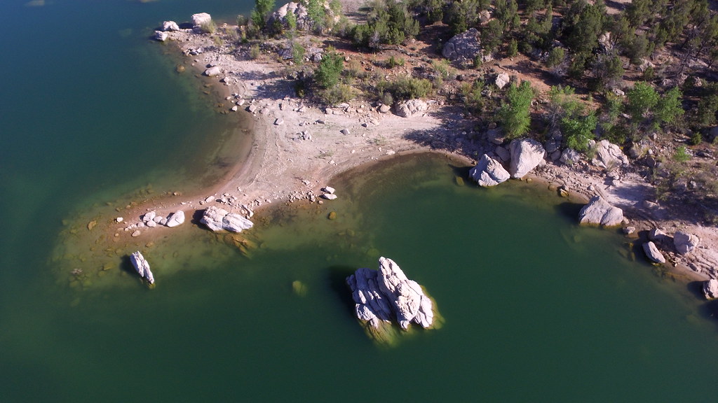
DJI Phantom Photos in Utah, Monument Valley and Mexican Hat
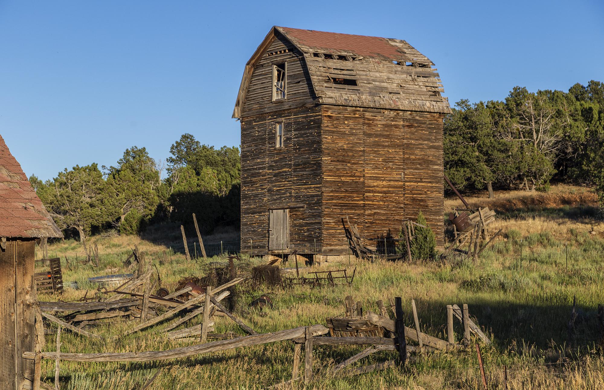
Three Story Barn
P1040656.JPG
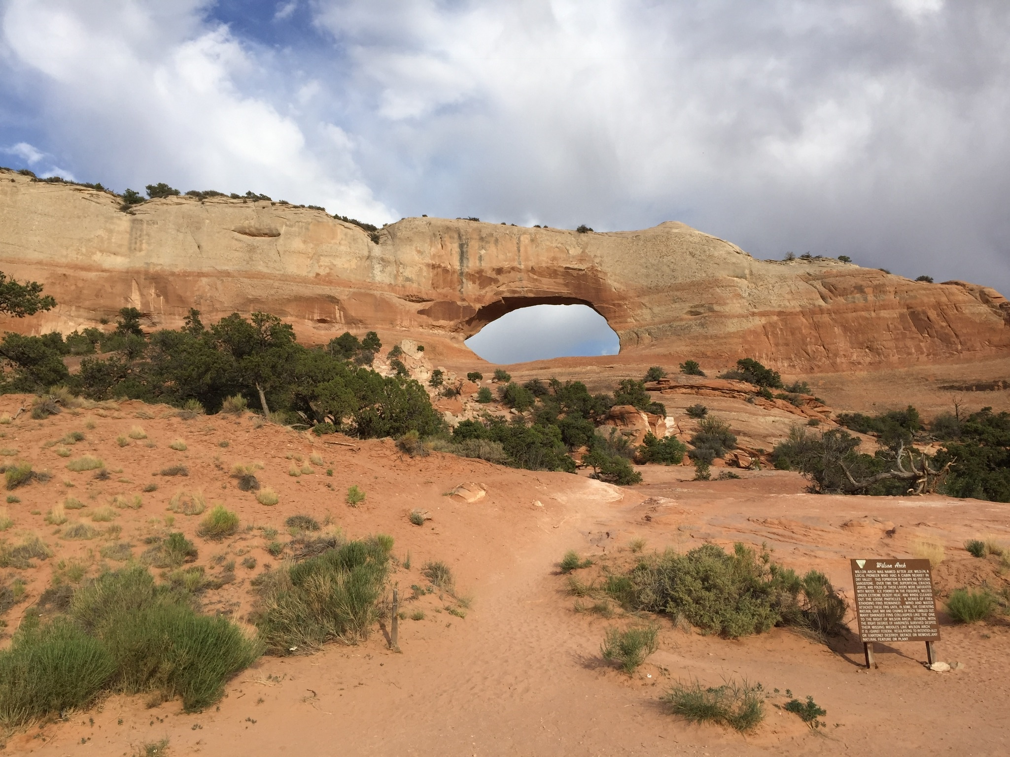
Wilson Arch
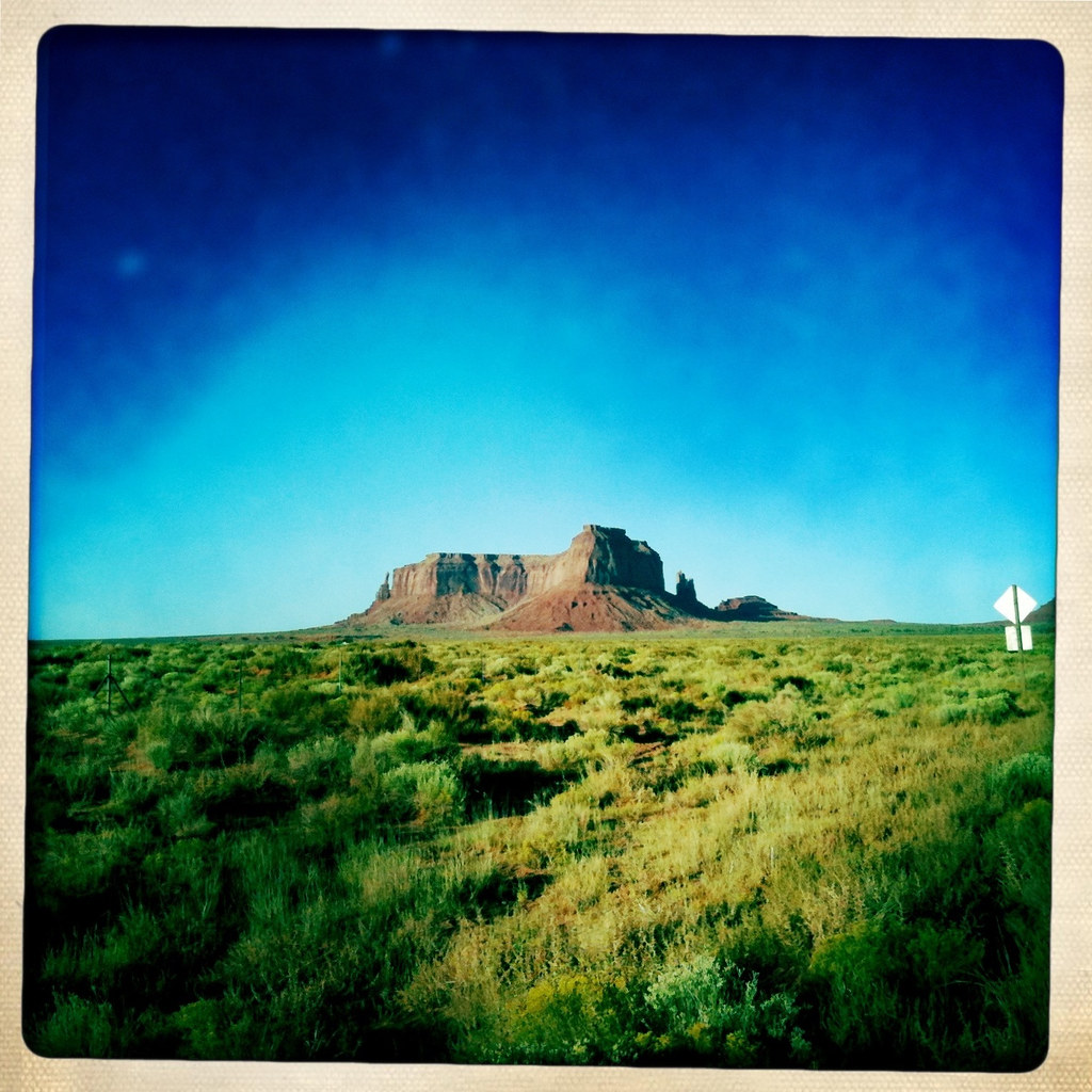
Monument Valley
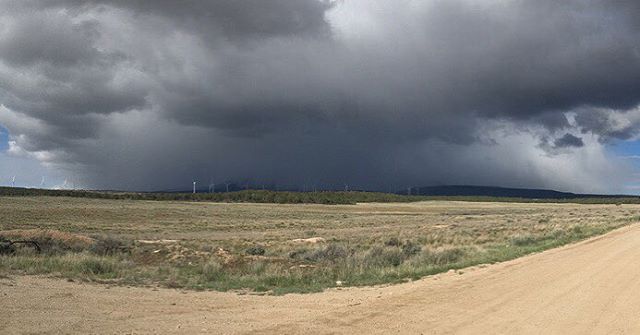
Abajo Mountains generating weather...
P1040248.JPG
P1040374.JPG
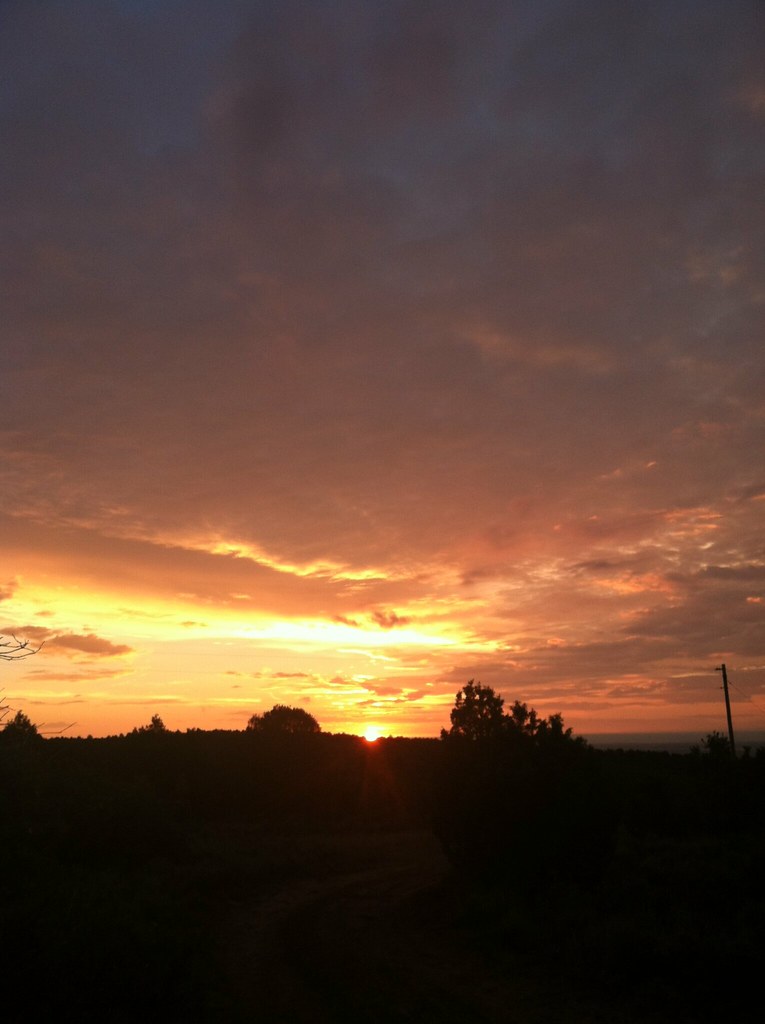
Sunrise San Juan County, Utah
Topographic Map of 75 W Dude Ranch Rd, Monticello, UT, USA
Find elevation by address:

Places near 75 W Dude Ranch Rd, Monticello, UT, USA:
Devils Canyon Campground
Monticello
17 N E, Monticello, UT, USA
Nizhoni Campground
Blanding
355 E 850 S
Blue Mountain Rv & Trading
White Mesa Mill
White Mesa
Dove Creek, CO, USA
Butler Washington Road
County Rd 2, Dove Creek, CO, USA
3728 Rd P
Egnar
Dove Creek
Bluff
E Main St, Bluff, UT, USA
County Road 10, Pleasant View, CO, USA
16530 Co Rd 11
Road G, Cortez, CO, USA
Recent Searches:
- Elevation of Corcoran Ln, Suffolk, VA, USA
- Elevation of Mamala II, Sariaya, Quezon, Philippines
- Elevation of Sarangdanda, Nepal
- Elevation of 7 Waterfall Way, Tomball, TX, USA
- Elevation of SW 57th Ave, Portland, OR, USA
- Elevation of Crocker Dr, Vacaville, CA, USA
- Elevation of Pu Ngaol Community Meeting Hall, HWHM+3X7, Krong Saen Monourom, Cambodia
- Elevation of Royal Ontario Museum, Queens Park, Toronto, ON M5S 2C6, Canada
- Elevation of Groblershoop, South Africa
- Elevation of Power Generation Enterprises | Industrial Diesel Generators, Oak Ave, Canyon Country, CA, USA