Elevation of Monticello, UT, USA
Location: United States > Utah > San Juan County >
Longitude: -109.34289
Latitude: 37.8713829
Elevation: 2155m / 7070feet
Barometric Pressure: 78KPa
Elevation Map:
Satellite Map:
Related Photos:

21-06-08 - Days Inn 01
20-06-08 Days Inn
South Slope
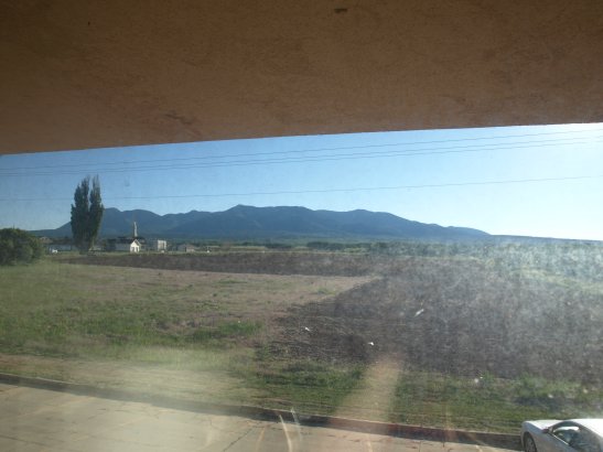
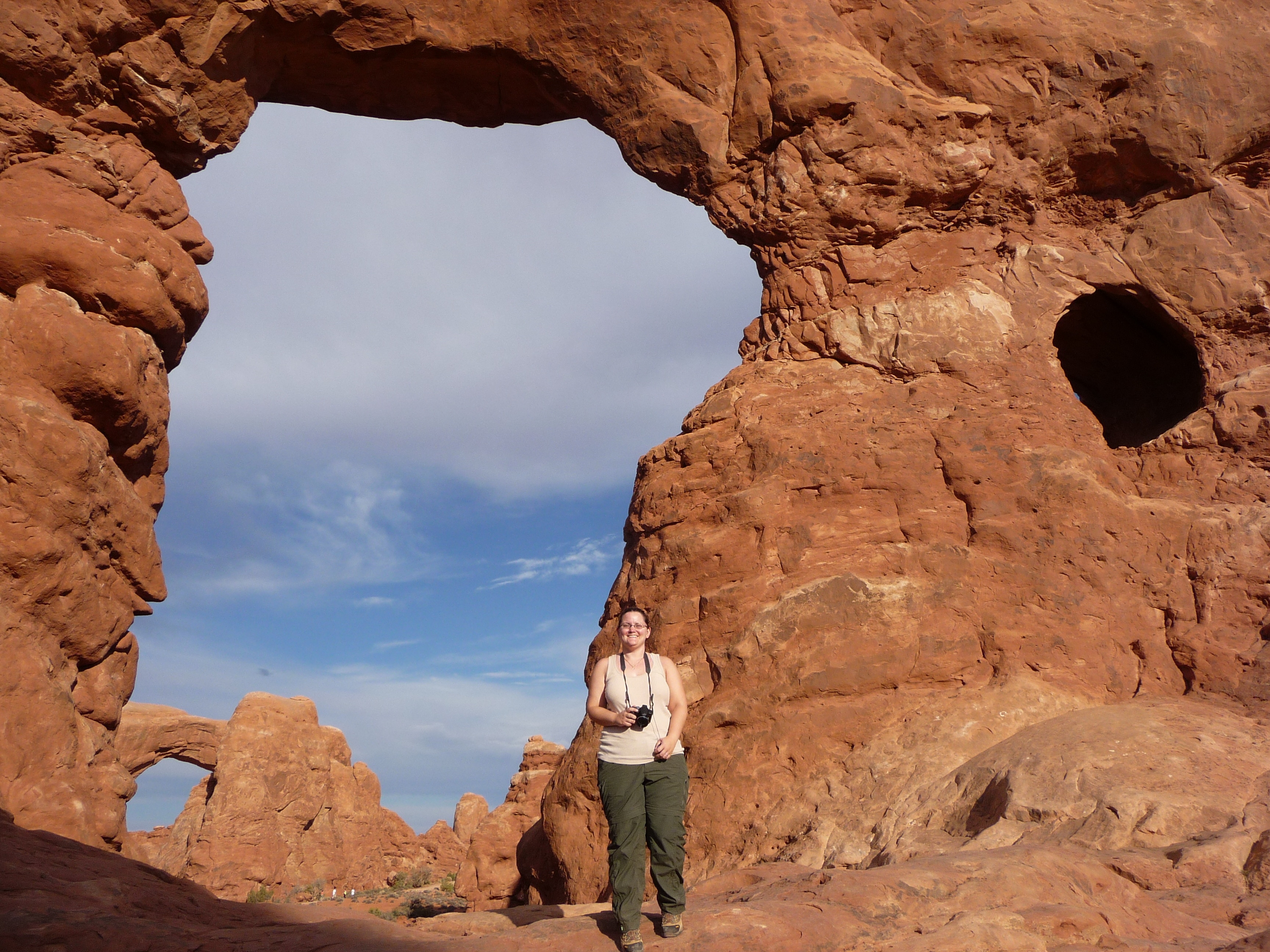
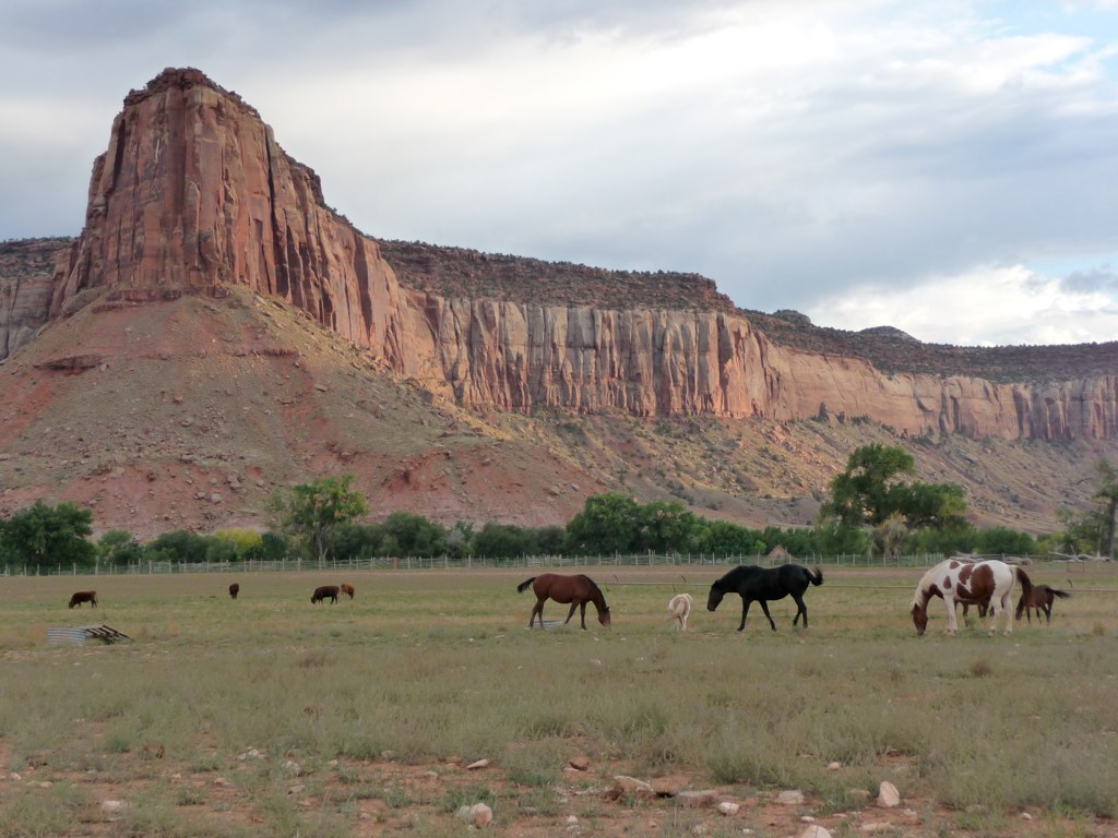
Monticello View

P1040608.JPG
P1040627.JPG
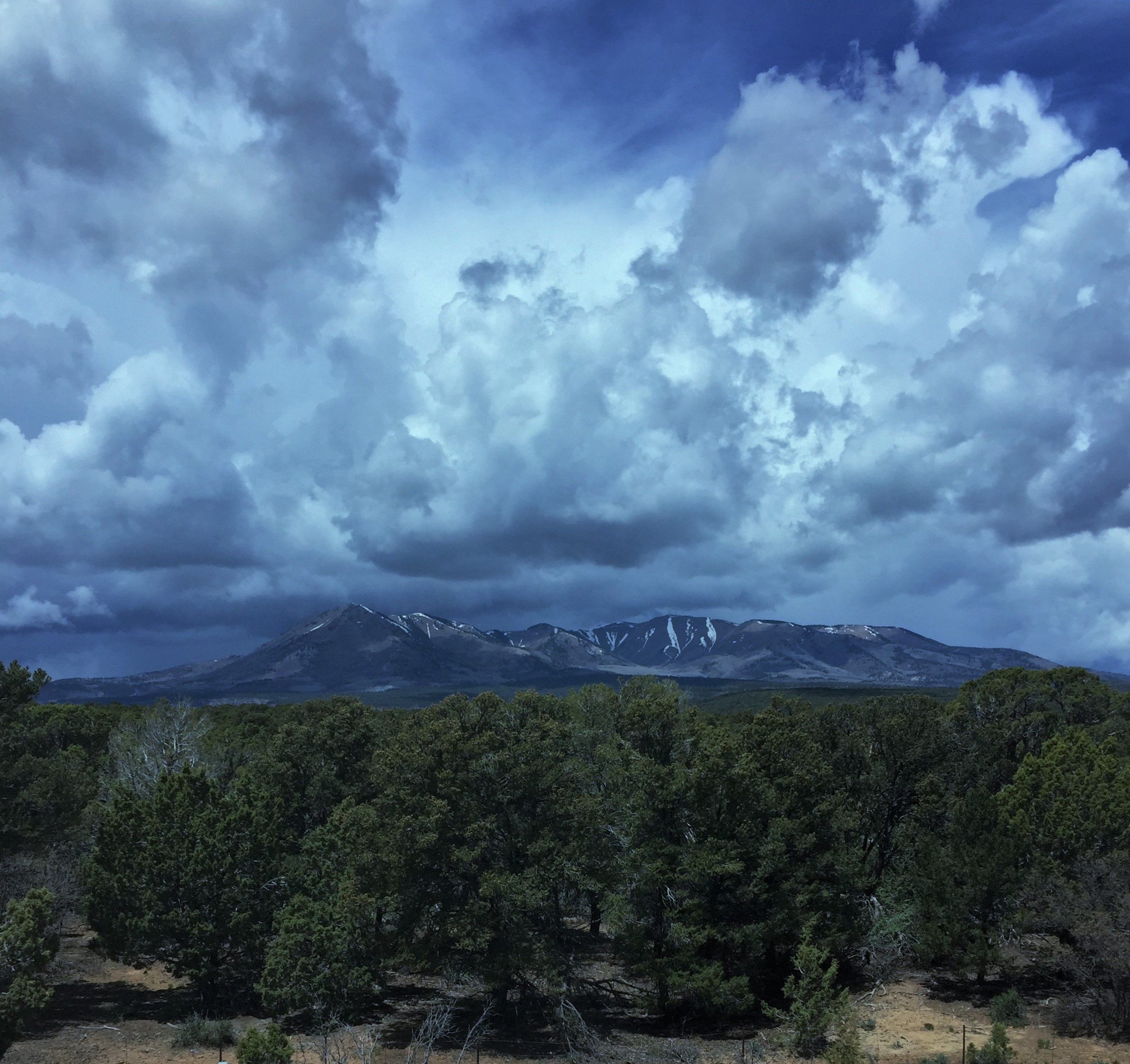
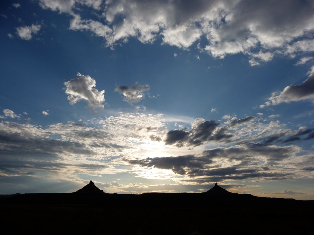
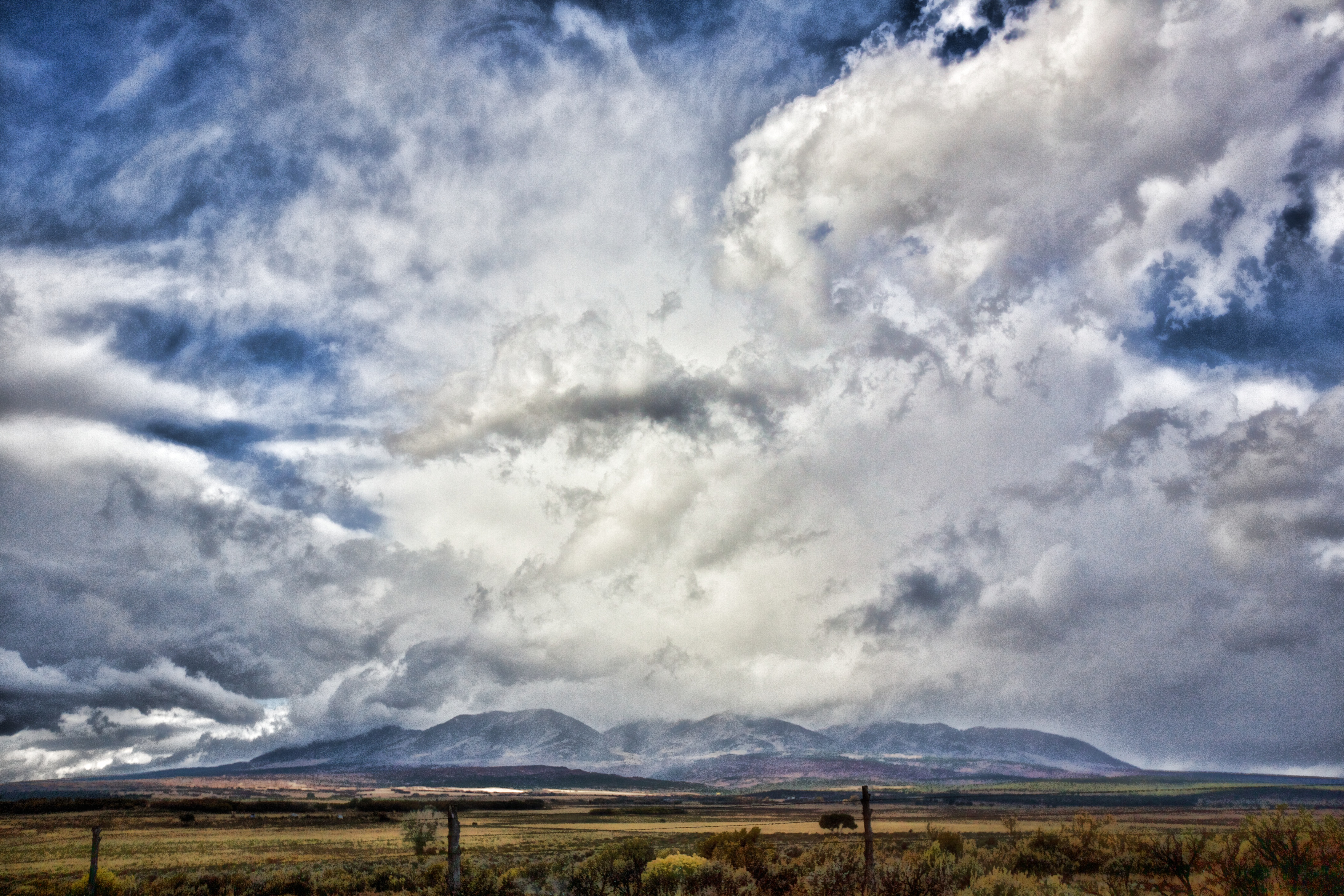
Springtime Storms and Beautiful Skies
_MG_7833.jpg
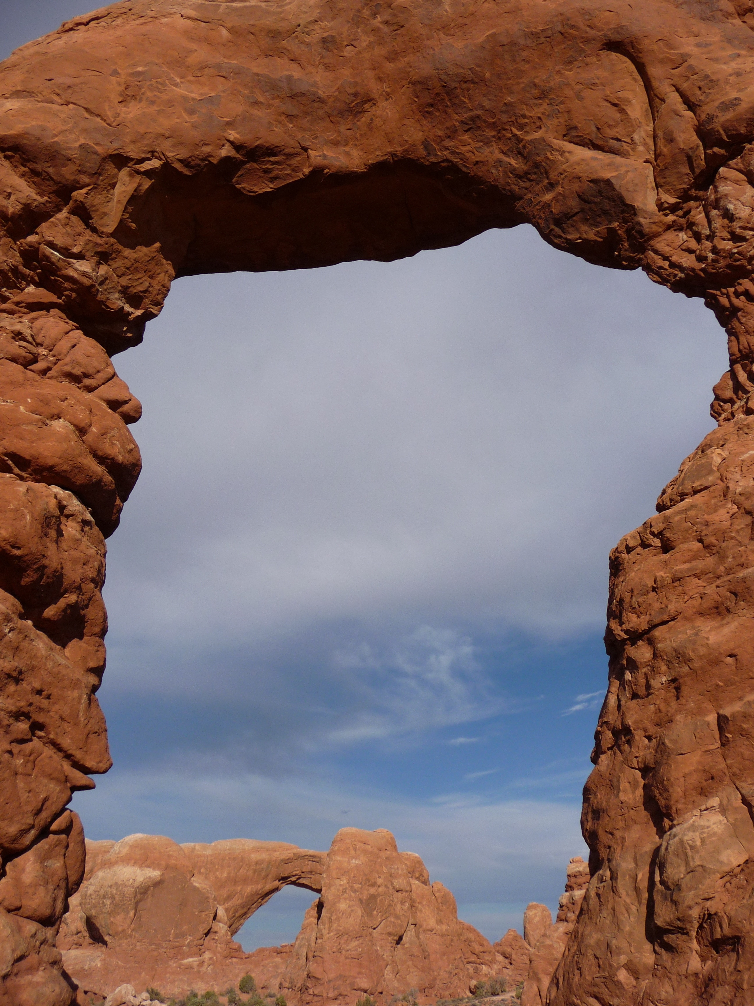
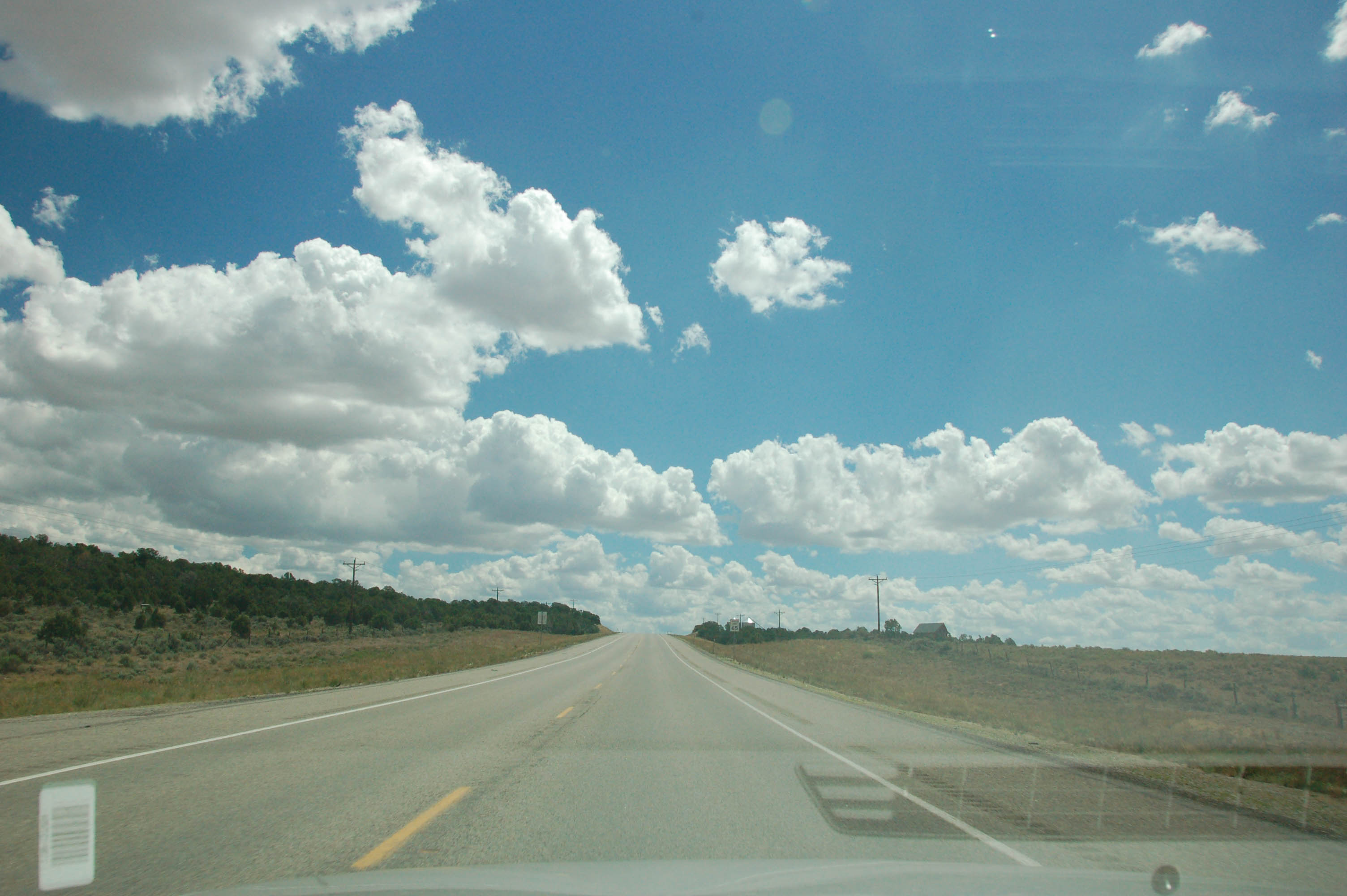
Monticello - Highway 191
P1040041.JPG
P1040127.JPG

P1040426.JPG
IMG_7897 - 2012-10-12 at 05-03-22

P1040199.JPG

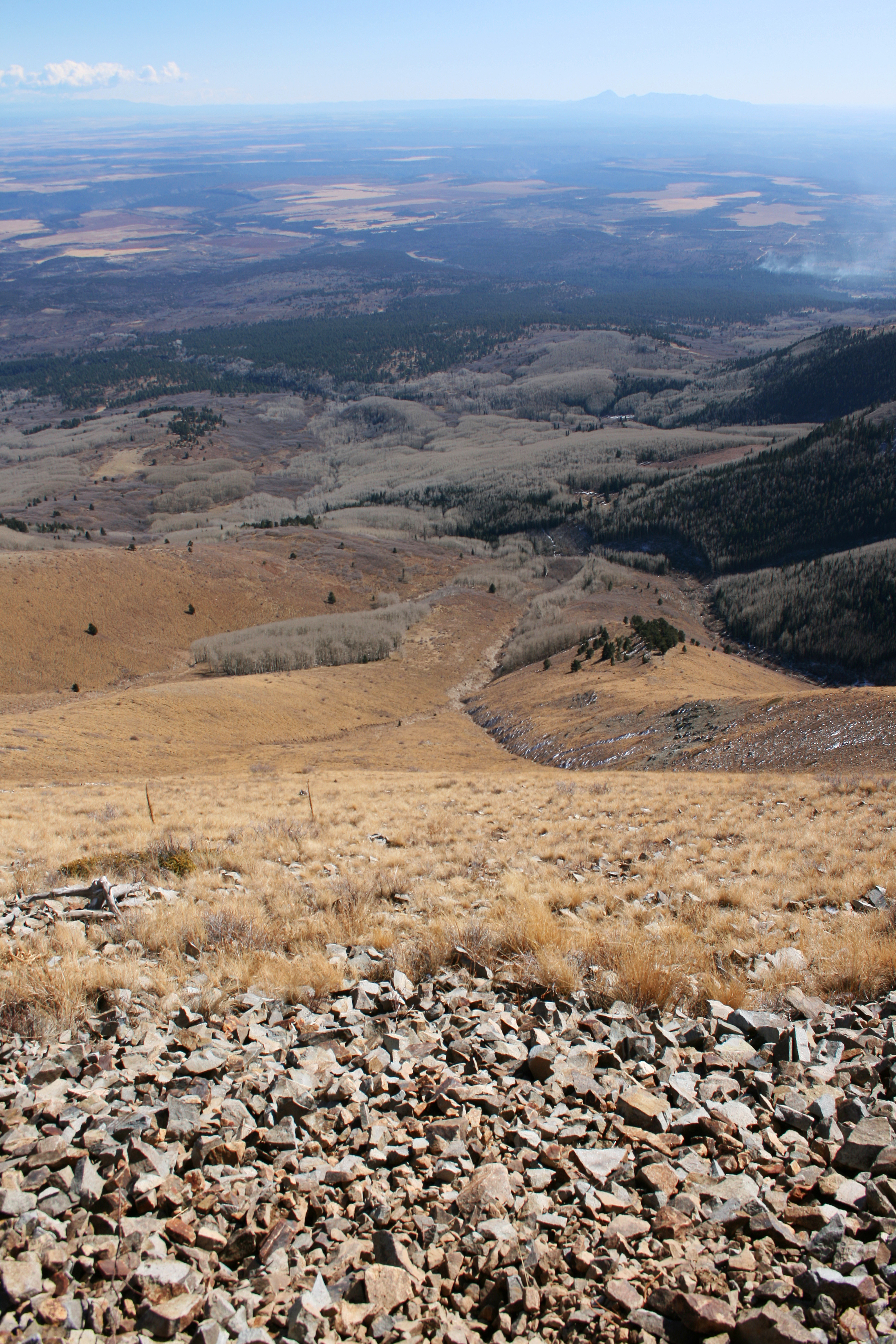
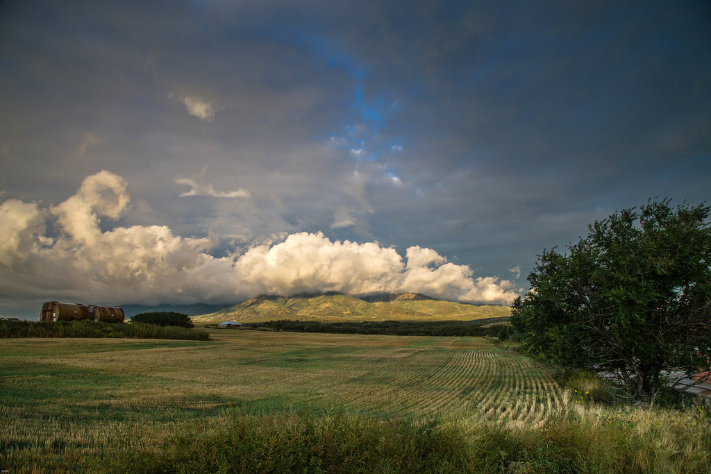
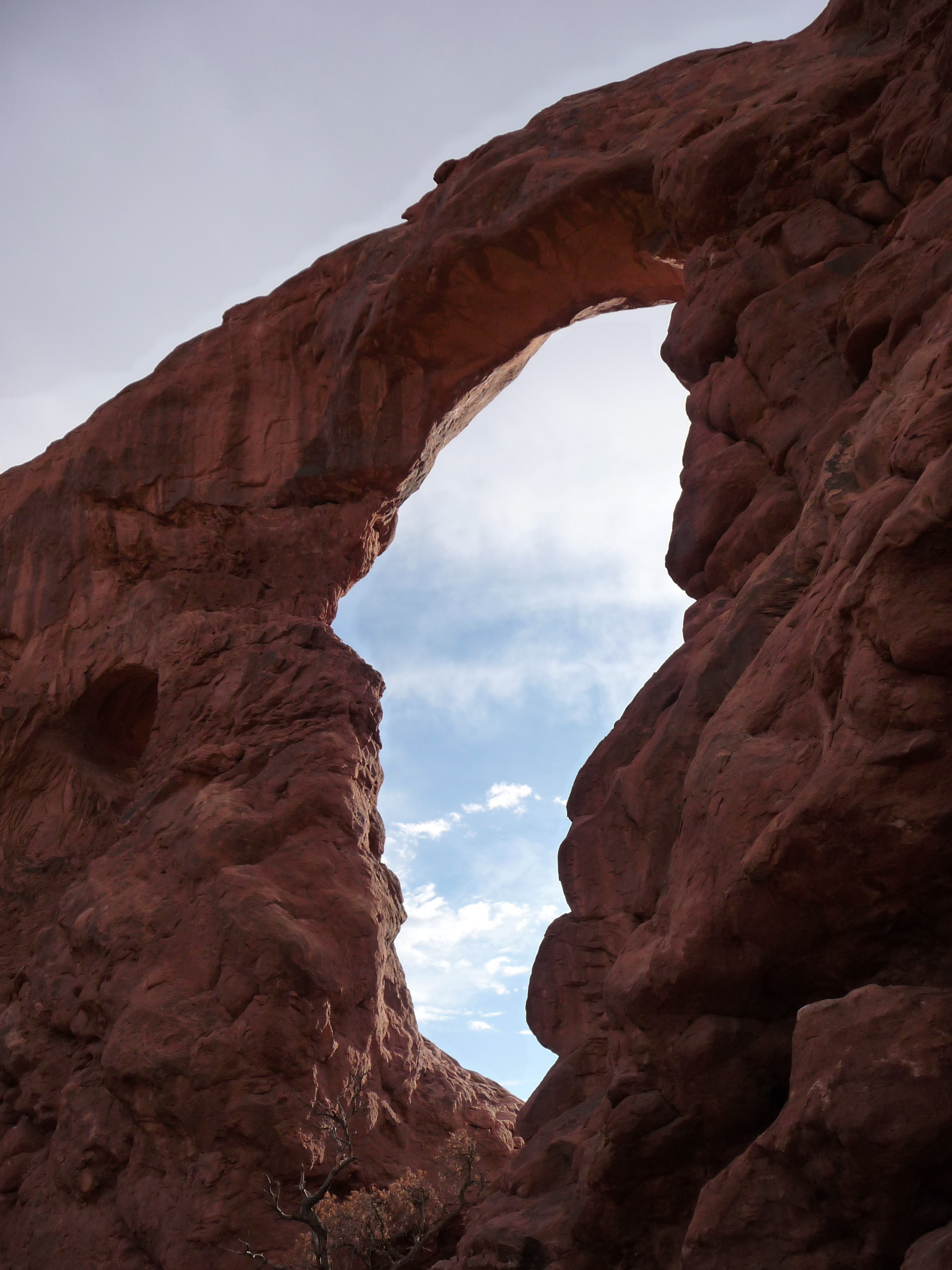
Monticello - Abajo Mountain Range
P1040135.JPG

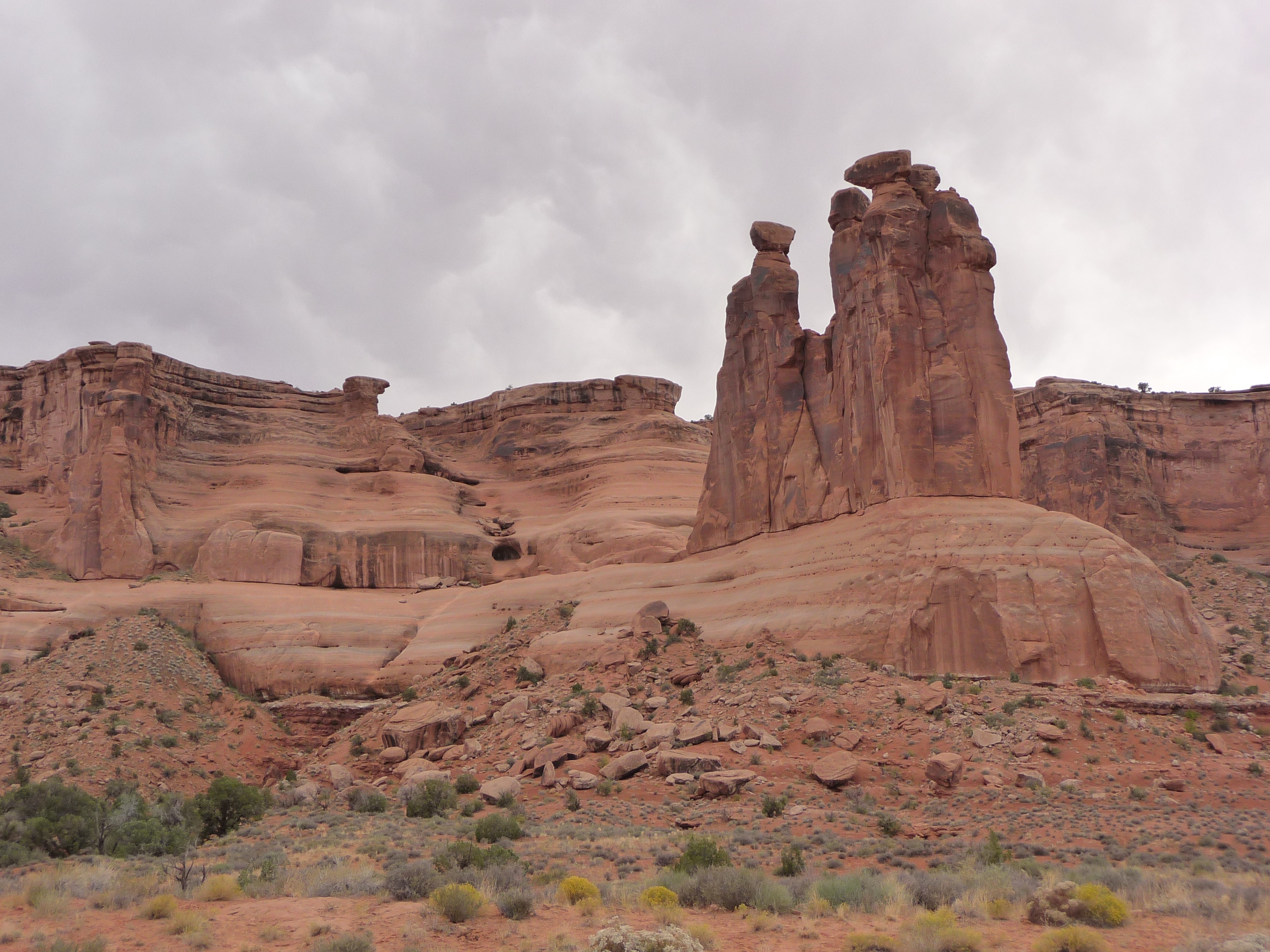
Church Rock

1414 -_
P1040120.JPG
P1040656.JPG
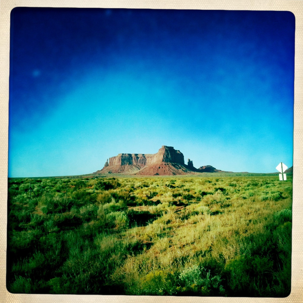
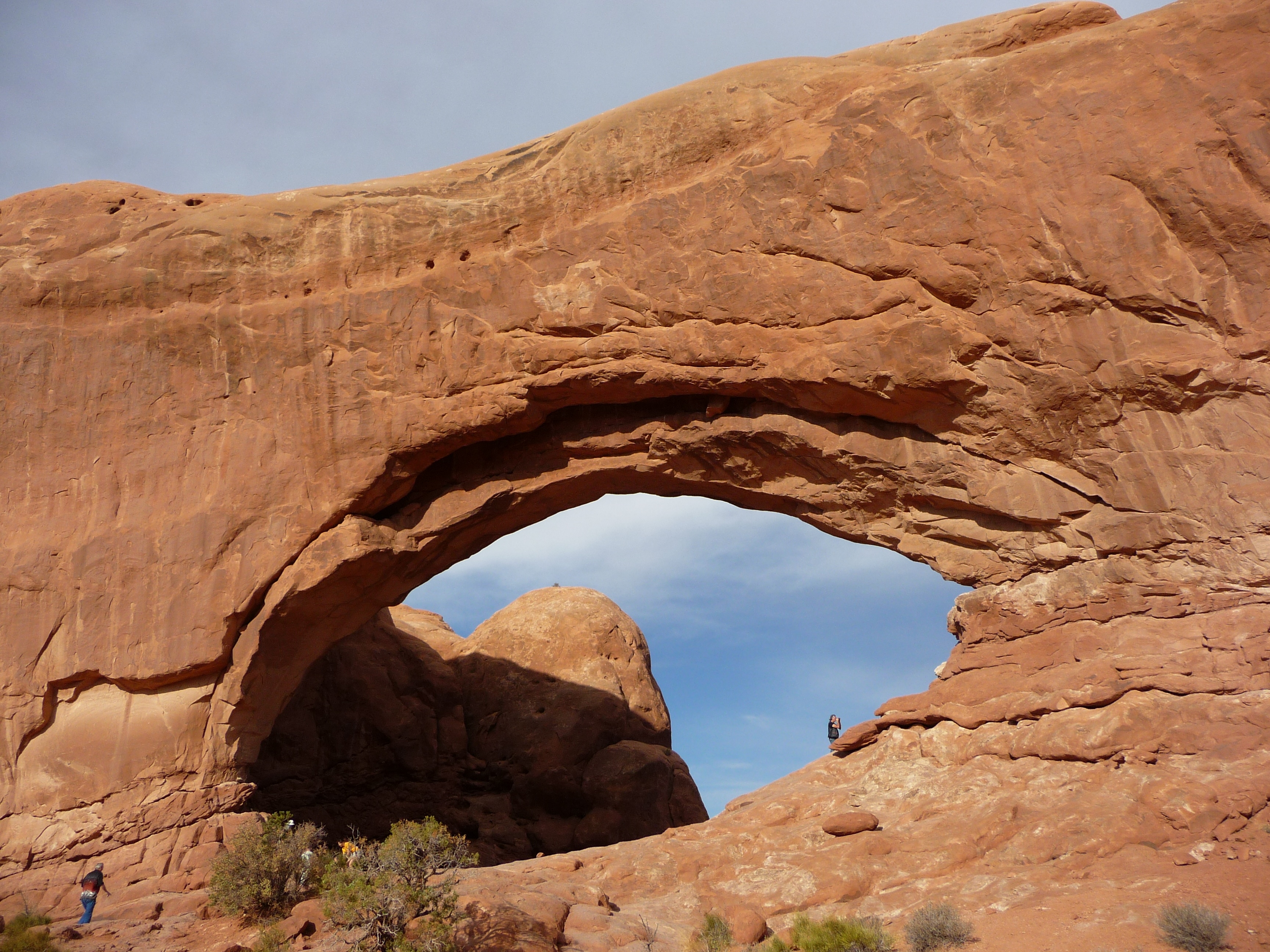
Monument Valley
P1040248.JPG
P1040374.JPG
DSC_3492.jpg
P1040099.JPG
Topographic Map of Monticello, UT, USA
Find elevation by address:

Places in Monticello, UT, USA:
Places near Monticello, UT, USA:
17 N E, Monticello, UT, USA
75 W Dude Ranch Rd
Devils Canyon Campground
Nizhoni Campground
Blanding
355 E 850 S
Blue Mountain Rv & Trading
White Mesa Mill
Dove Creek, CO, USA
County Rd 2, Dove Creek, CO, USA
Egnar
3728 Rd P
White Mesa
Dove Creek
Butler Washington Road
16530 Co Rd 11
County Road 10, Pleasant View, CO, USA
Cahone
US-, Cahone, CO, USA
14663 County Rd N
Recent Searches:
- Elevation of Kreuzburger Weg 13, Düsseldorf, Germany
- Elevation of Gateway Blvd SE, Canton, OH, USA
- Elevation of East W.T. Harris Boulevard, E W.T. Harris Blvd, Charlotte, NC, USA
- Elevation of West Sugar Creek, Charlotte, NC, USA
- Elevation of Wayland, NY, USA
- Elevation of Steadfast Ct, Daphne, AL, USA
- Elevation of Lagasgasan, X+CQH, Tiaong, Quezon, Philippines
- Elevation of Rojo Ct, Atascadero, CA, USA
- Elevation of Flagstaff Drive, Flagstaff Dr, North Carolina, USA
- Elevation of Avery Ln, Lakeland, FL, USA