Elevation of 75 Egyptian Pkwy, Creal Springs, IL, USA
Location: United States > Illinois > Williamson County > Creal Springs > Creal Springs >
Longitude: -88.896280
Latitude: 37.5875321
Elevation: 156m / 512feet
Barometric Pressure: 99KPa
Elevation Map:
Satellite Map:
Related Photos:

Zoomed view during the clouds.
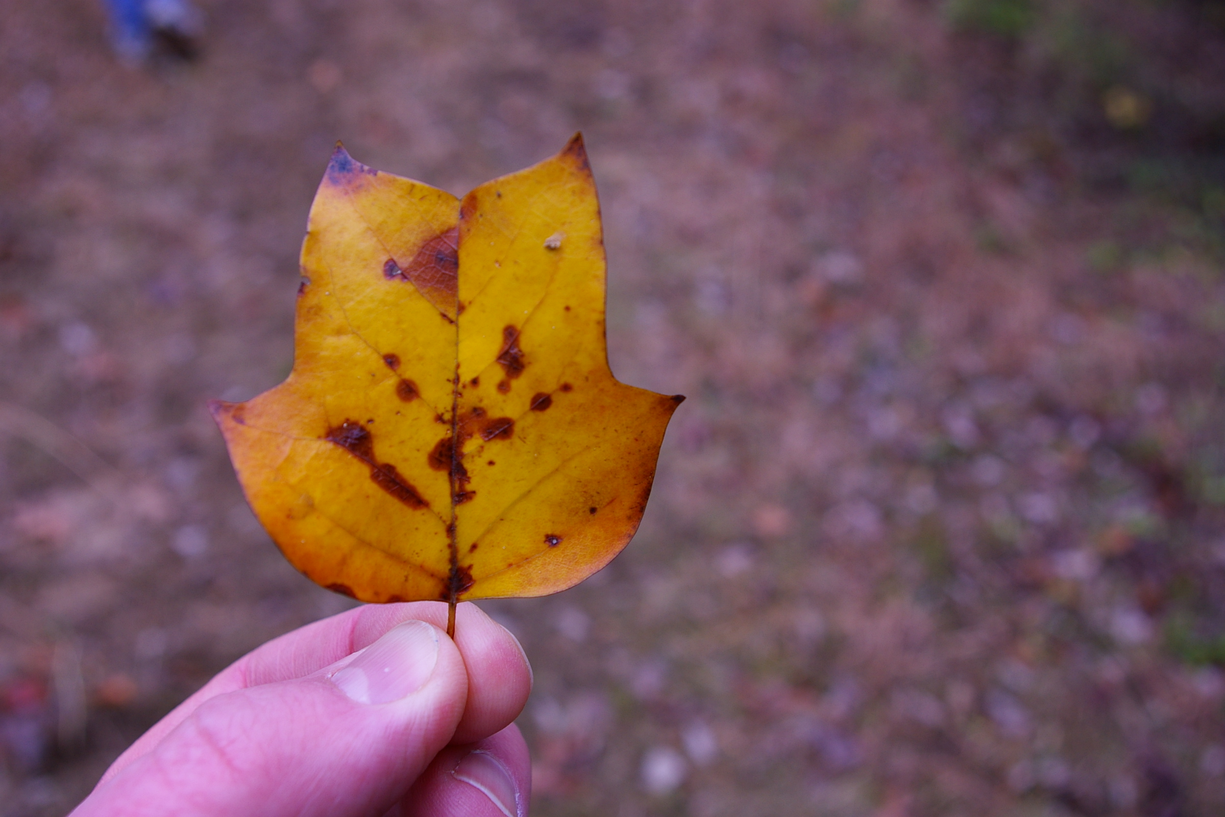
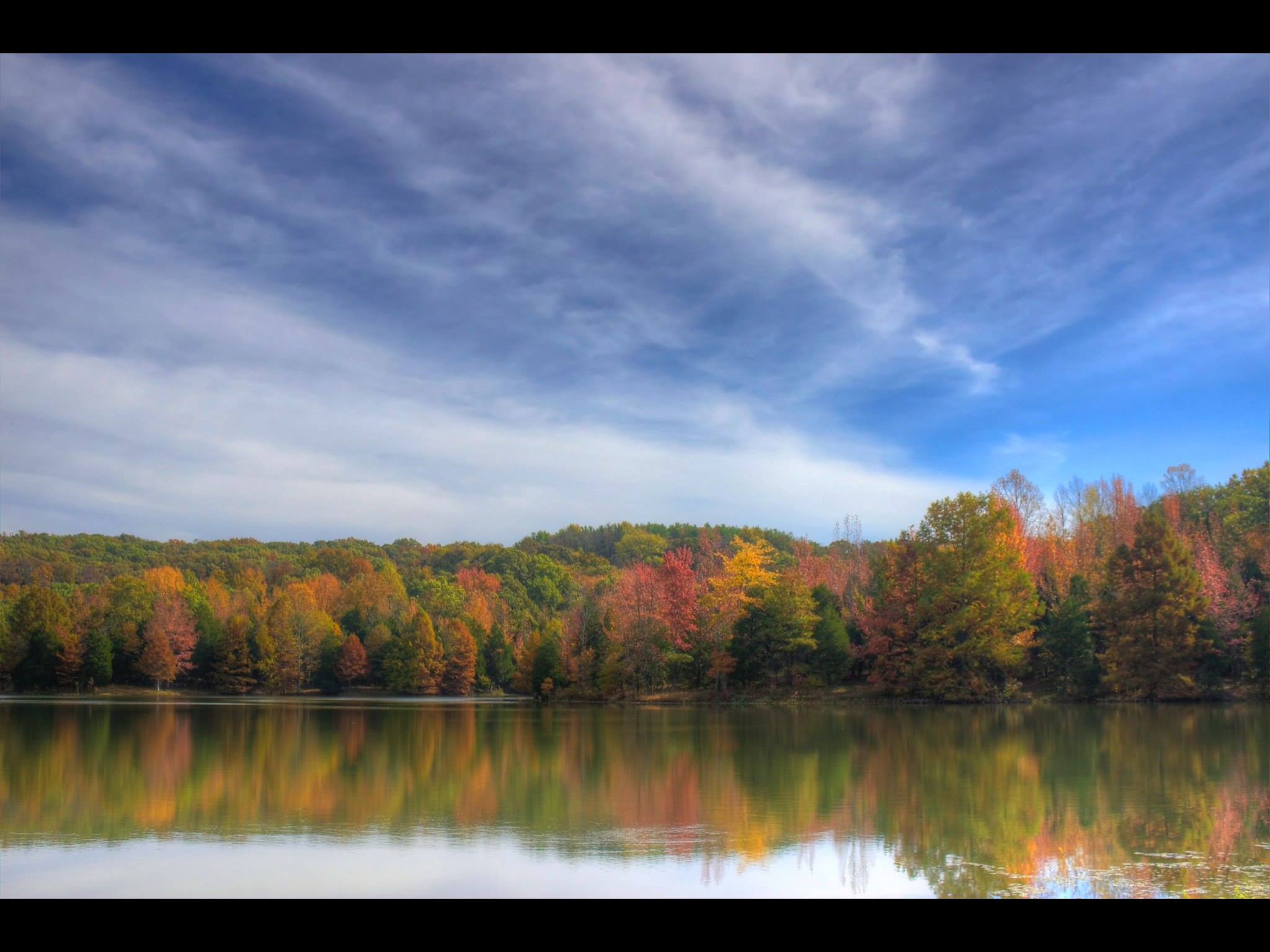
Autumn Leaf

Morning view at work.

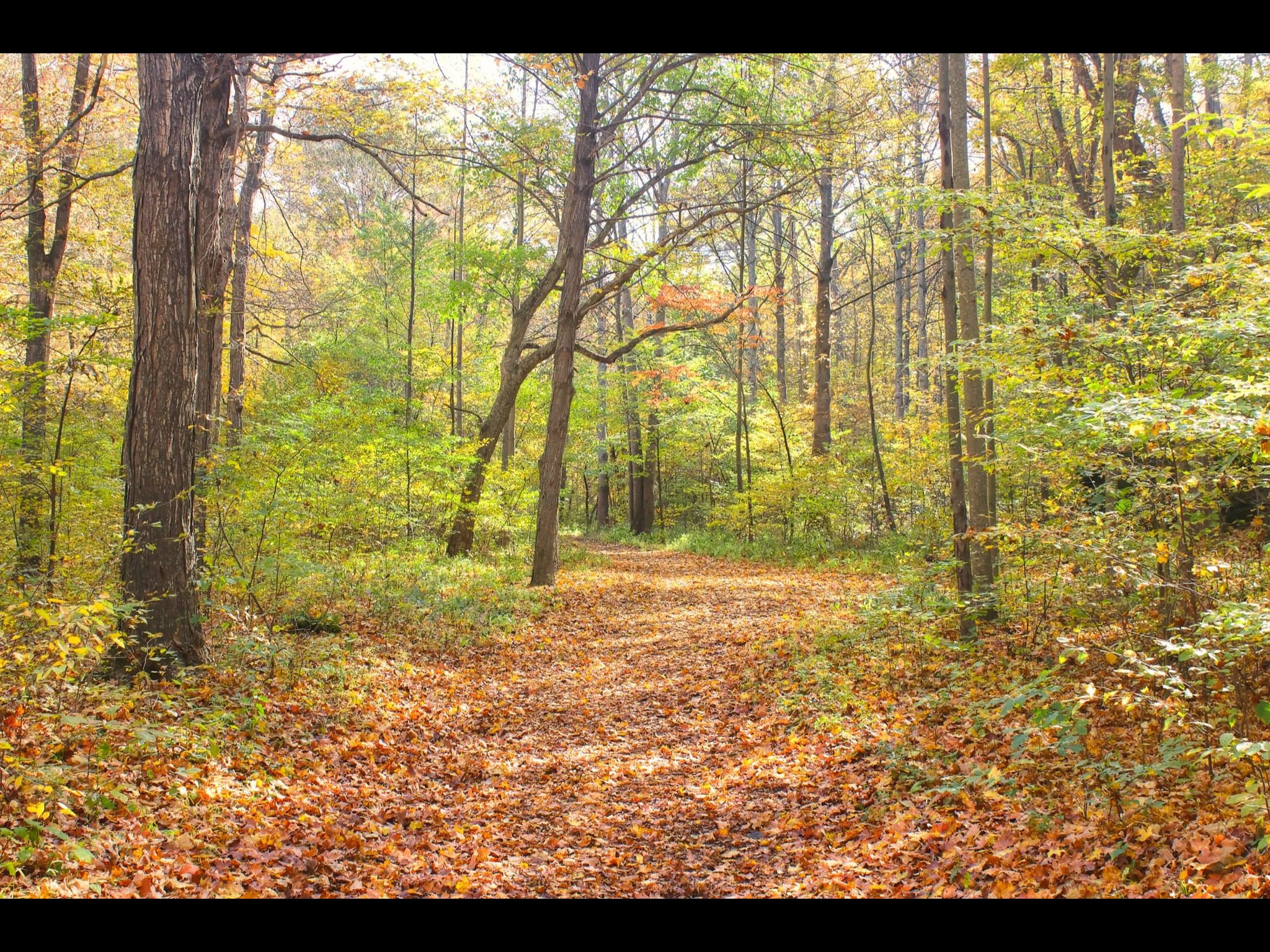
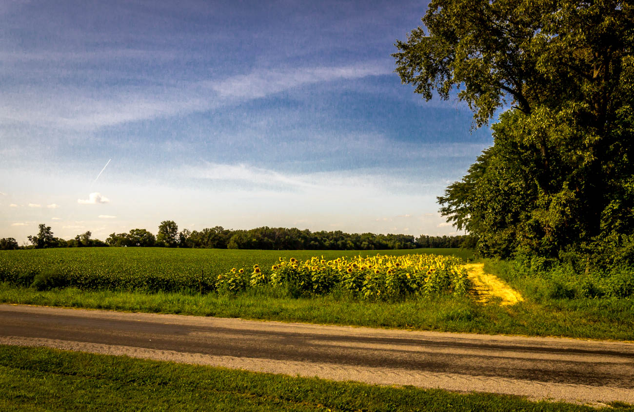
Golden Trail
A slice of Summer
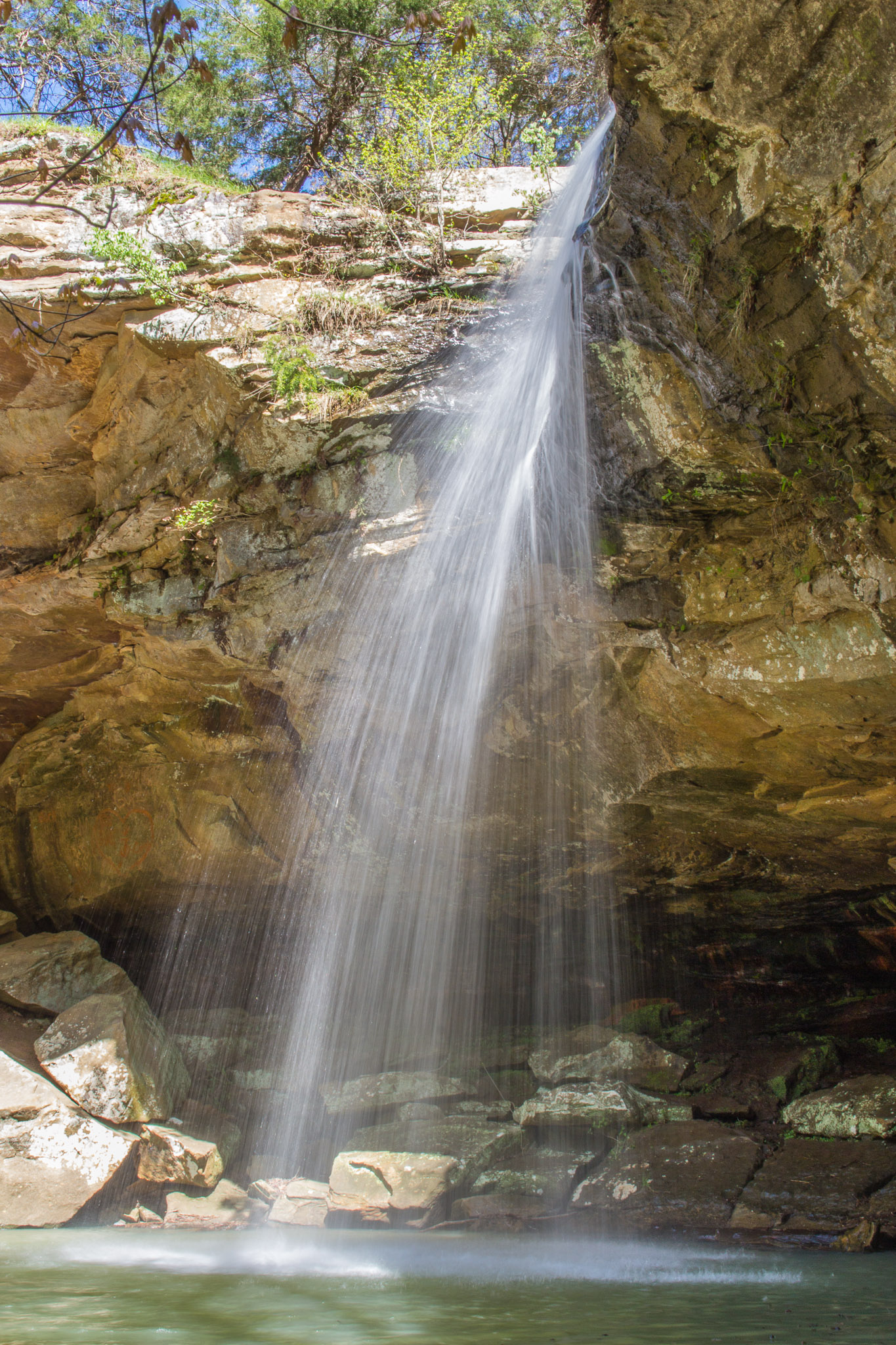
Bork's Falls II

Southern Illinois early morning serenity.
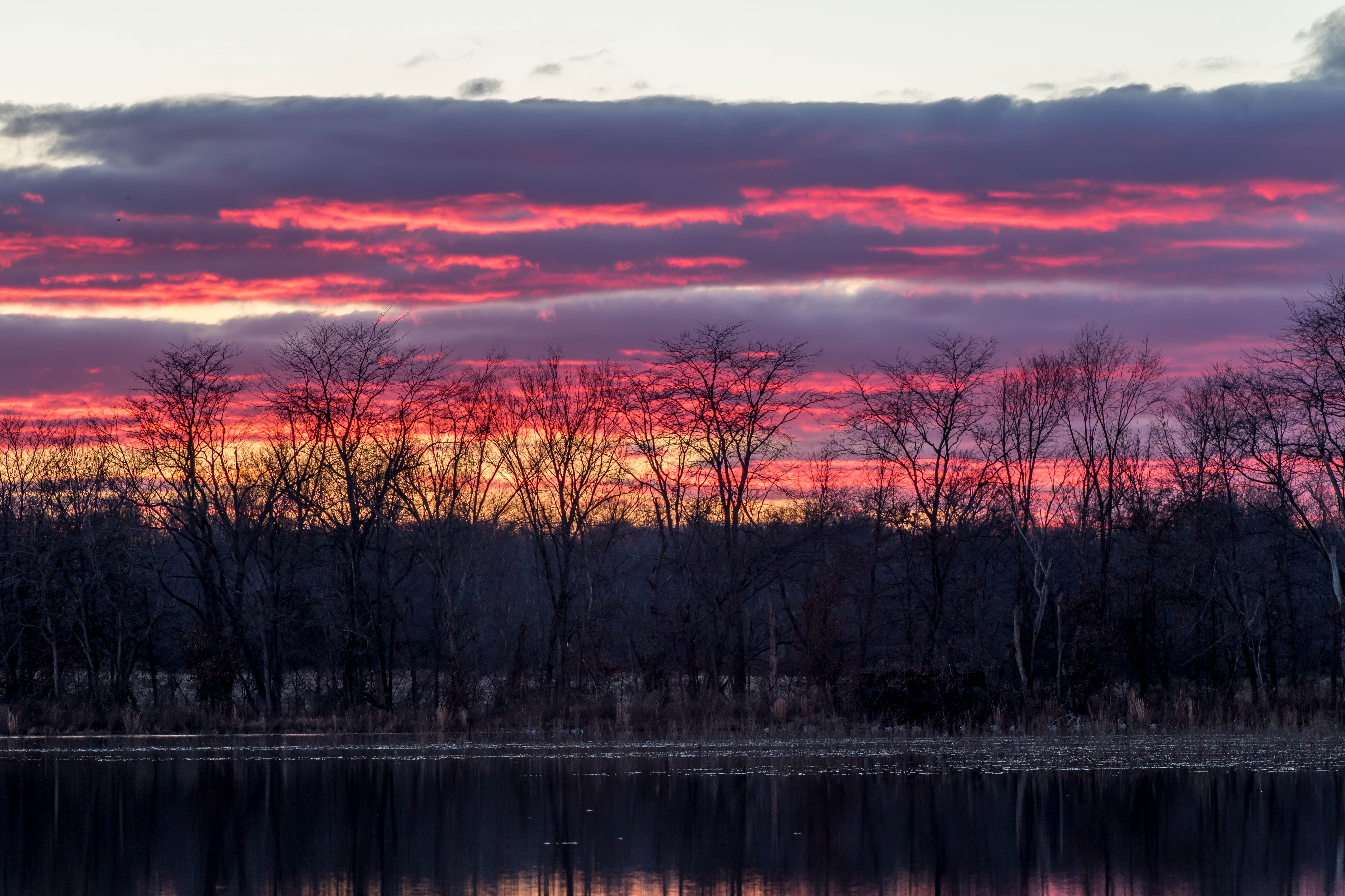
Winter Sunsets
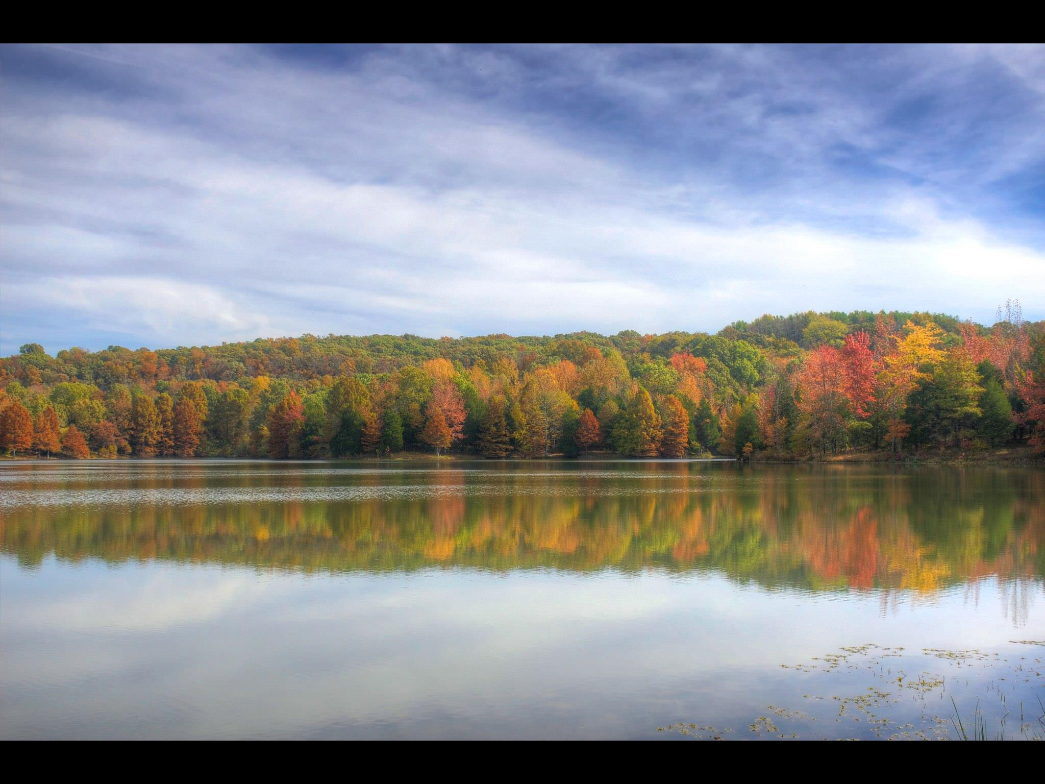
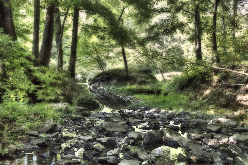
Fall colors in Fern Cliff State Park in Southern Illinois.
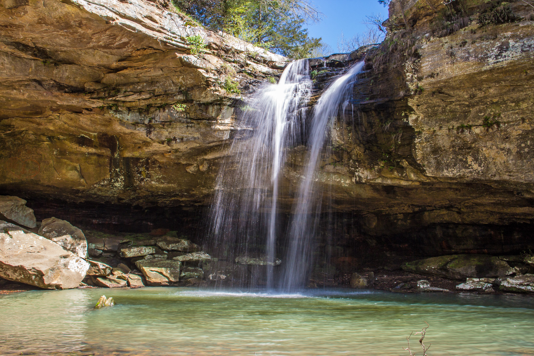
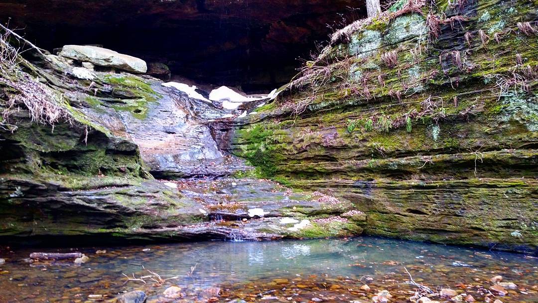
Bork's Falls

From Behind the Falls

382.jpg
Fern Clyffe State Park
11/23/2008
Fern Clyffe State Park

From Behind the Falls

IMG_5462.jpg

Ferne Clyffe Waterfall

Bork's Waterfall

385.jpg
IMG_4113.jpg
The waterdrip at Ferne Clyde State Pa

718.jpg

IMG_4465_6_7.jpg
Topographic Map of 75 Egyptian Pkwy, Creal Springs, IL, USA
Find elevation by address:

Places near 75 Egyptian Pkwy, Creal Springs, IL, USA:
Lakeview Dr, Creal Springs, IL, USA
180 Eagle Ridge Ln
180 Eagle Ridge Ln
Bluebird Ln, Goreville, IL, USA
Lake Of Egypt
Tunnel Hill
Creal Springs Road
Creal Springs
Creal Springs
E Keely St, Creal Springs, IL, USA
Goreville
15 Sidney Ln
15 Sidney Ln
15 Sidney Ln
105 Sidney Ln
295 Tunnel Hill Rd
Shawnee National Forest
308 Commanche Cir
IL-, Marion, IL, USA
Mauseyville Road
Recent Searches:
- Elevation of Elwyn Dr, Roanoke Rapids, NC, USA
- Elevation of Congressional Dr, Stevensville, MD, USA
- Elevation of Bellview Rd, McLean, VA, USA
- Elevation of Stage Island Rd, Chatham, MA, USA
- Elevation of Shibuya Scramble Crossing, 21 Udagawacho, Shibuya City, Tokyo -, Japan
- Elevation of Jadagoniai, Kaunas District Municipality, Lithuania
- Elevation of Pagonija rock, Kranto 7-oji g. 8"N, Kaunas, Lithuania
- Elevation of Co Rd 87, Jamestown, CO, USA
- Elevation of Tenjo, Cundinamarca, Colombia
- Elevation of Côte-des-Neiges, Montreal, QC H4A 3J6, Canada