Elevation of 73 7 Ponds Rd, Amissville, VA, USA
Location: United States > Virginia > Rappahannock County > Jackson > Amissville >
Longitude: -78.021831
Latitude: 38.6799061
Elevation: 187m / 614feet
Barometric Pressure: 99KPa
Elevation Map:
Satellite Map:
Related Photos:

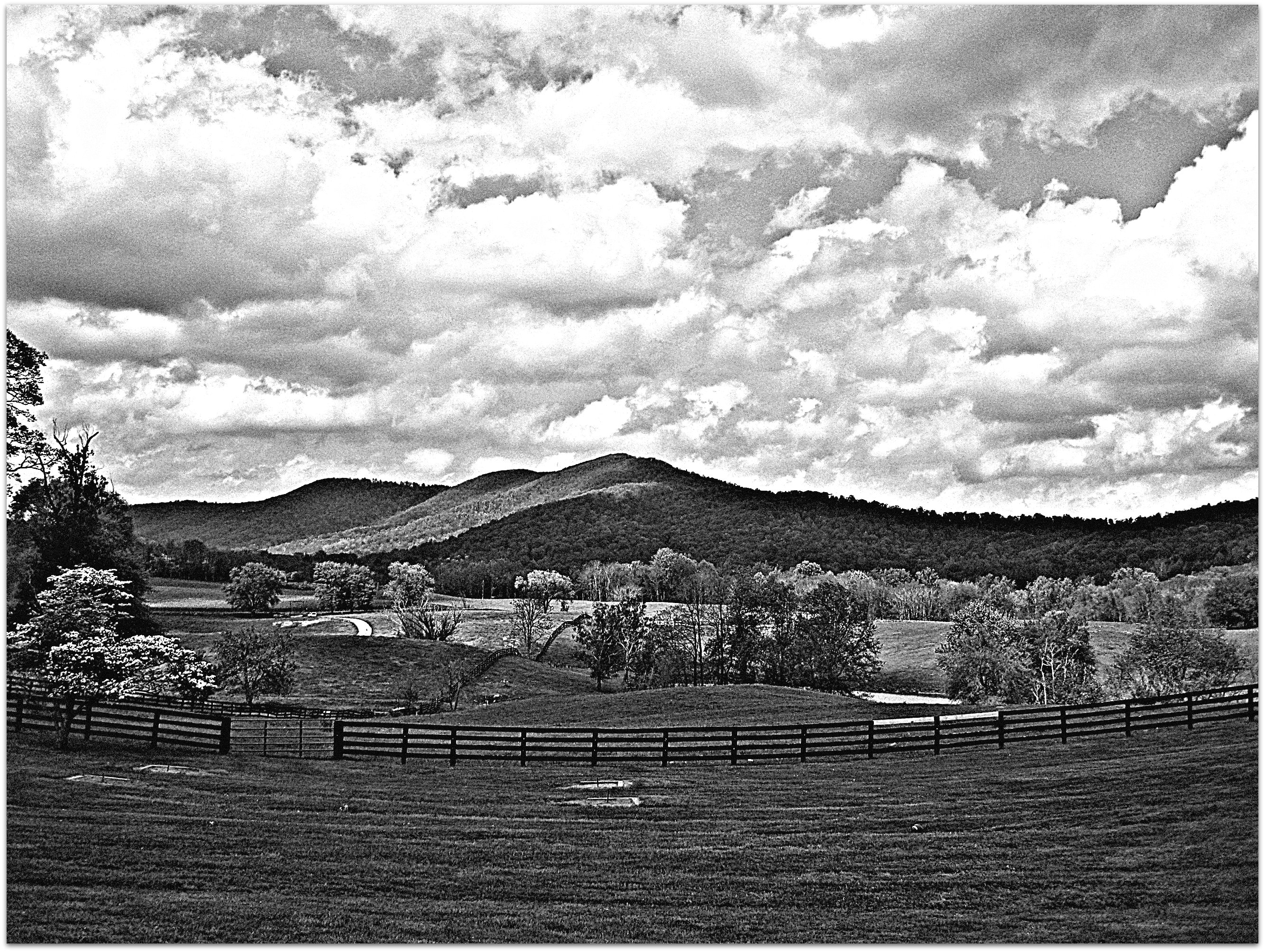
View from mom's balcony
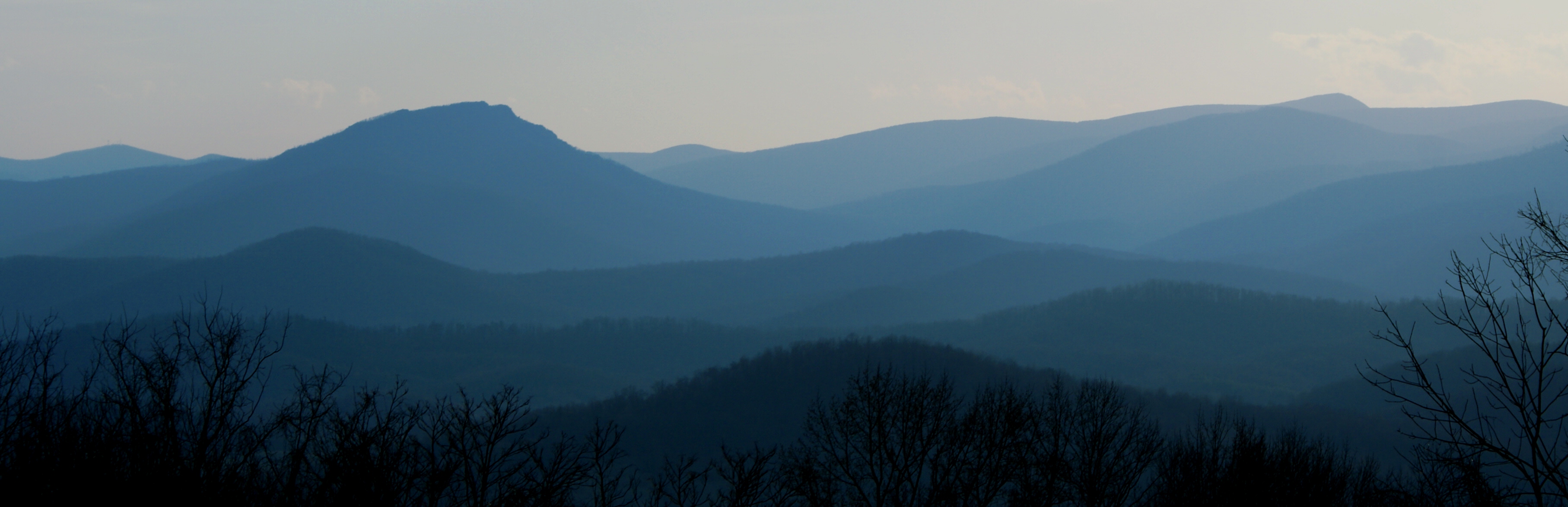
Old Rag & Mountains of Shenandoah

End of Night at Hazel Mountain Overlook

With a view
the view
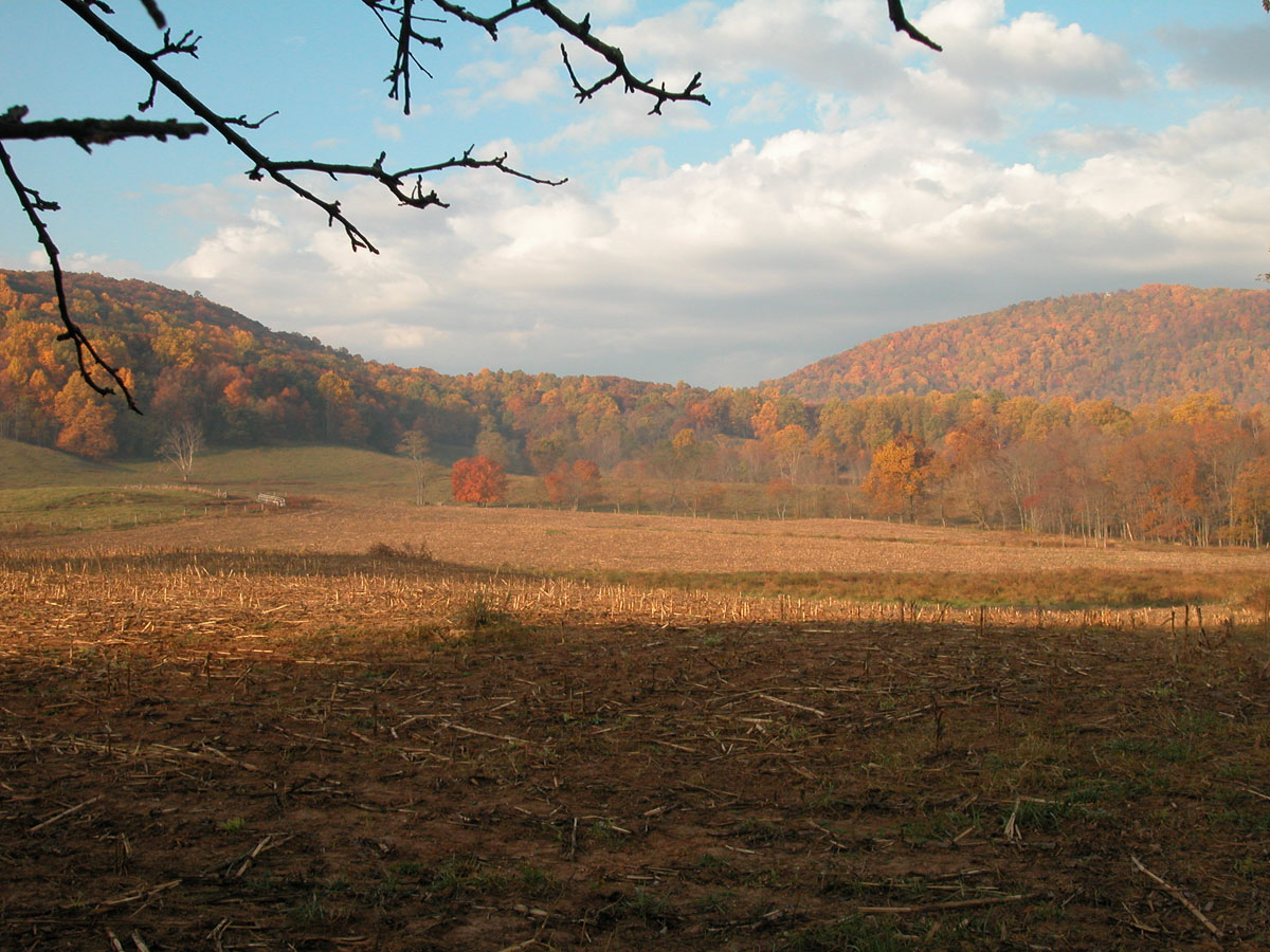
Unsettled Autumn morning

T-6 air to air

Marriott Ranch -Joe 13

Massies Corner July 2010

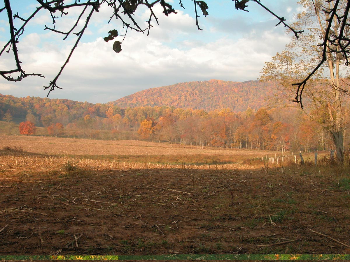
Quiet Autumn morning

Kaonashi!
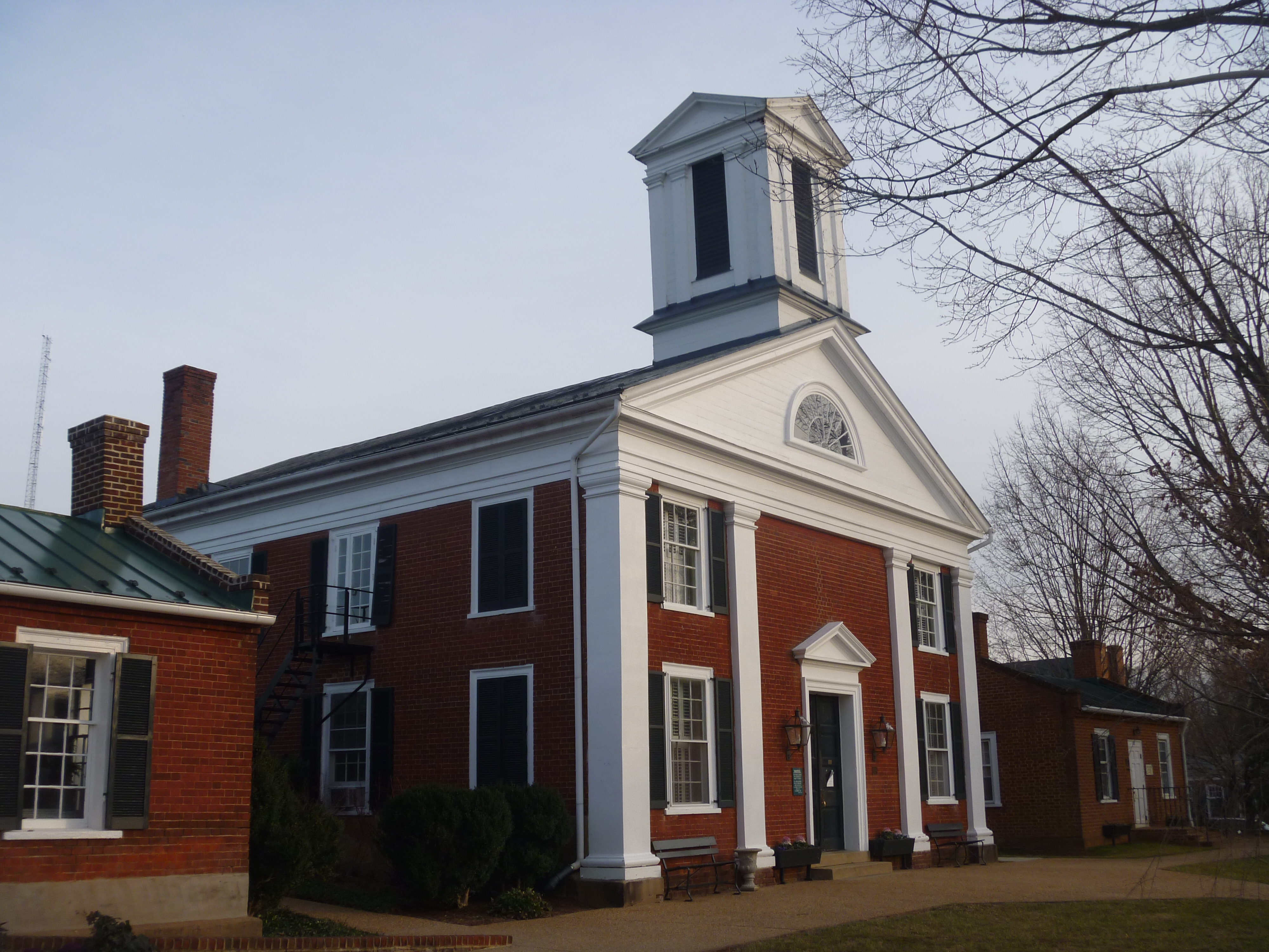
Rappahannock County Courthouse, Washington VA

Washington VA And A Blue Ridge Mountain View
Top Side View Of Rappahannock County Courthouse
View from Red Oak Mountain
View Fro Fletsher Mill Road
Wintertime Summit View

Marriott Ranch -Joe 14
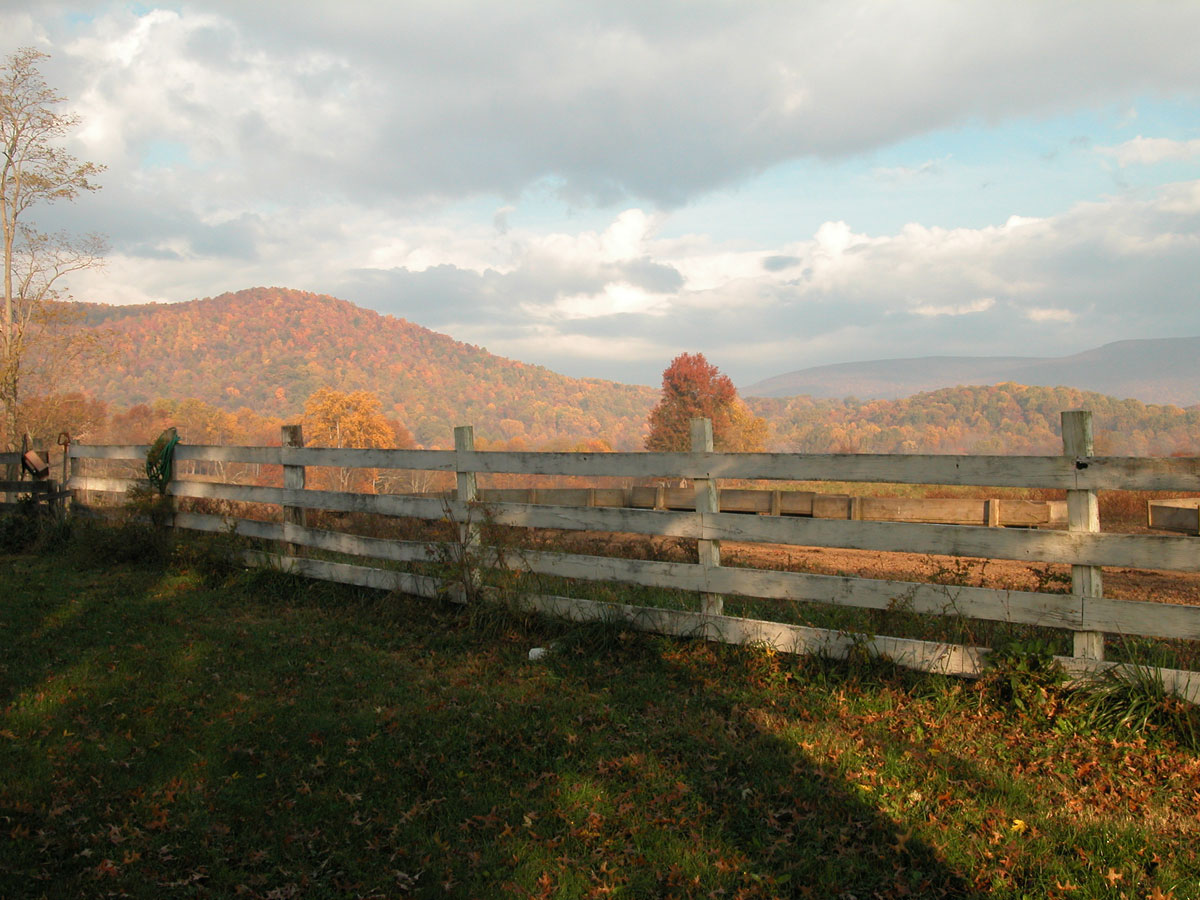
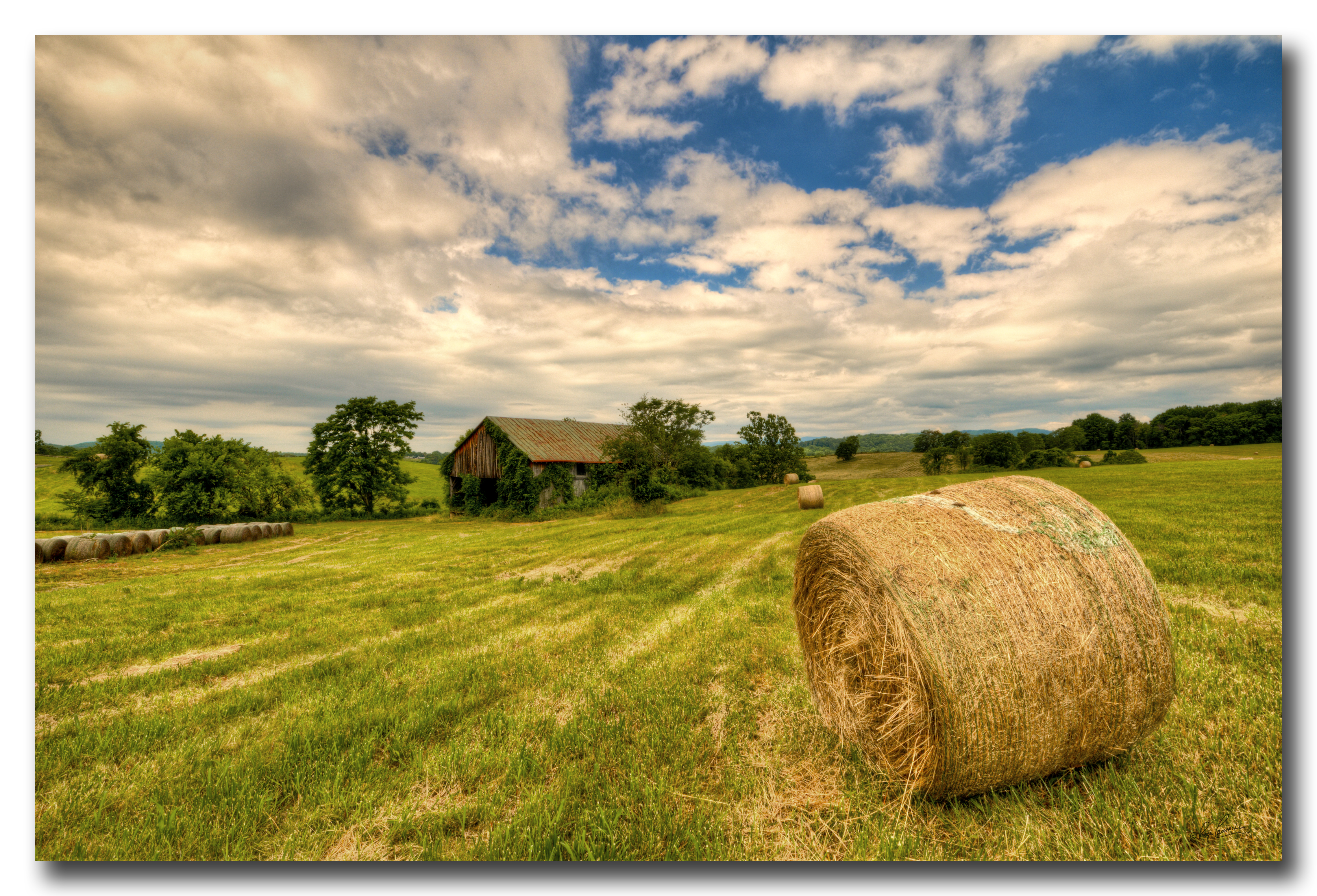
Back 40 in Autumn
More Back 40 in Autumn
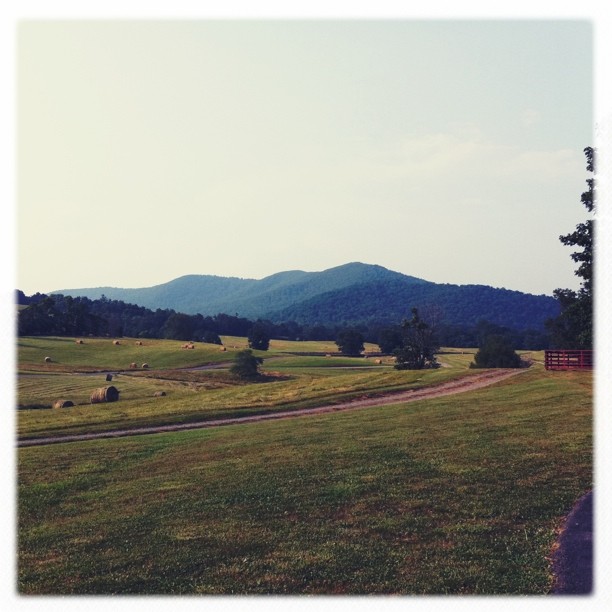
Farm near Flint Hill VA

Watching over the farm...

High Meadow Farm, circa 1780, Flint Hill, VA

Luray Caverns
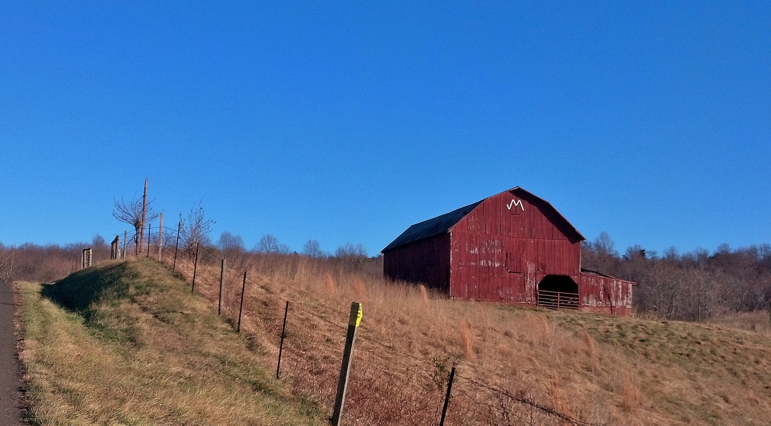
Red Barn at Marriot Ranch, Hume, Virginia
Orlean, Virginia
Sweet Greens : )
Old Barn Day...#1
Away from the Hustle & Bustle
Countryside Farmland

Crossing the ford on Battle Run stream
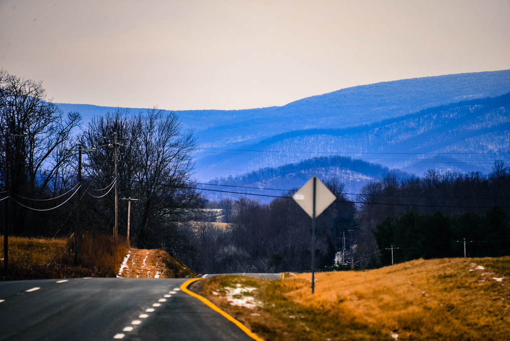
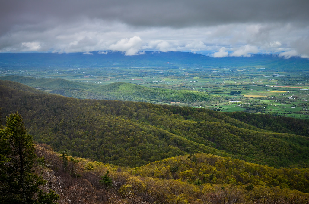
Blue Ridge Mountains from US 211 Highway in Virginia
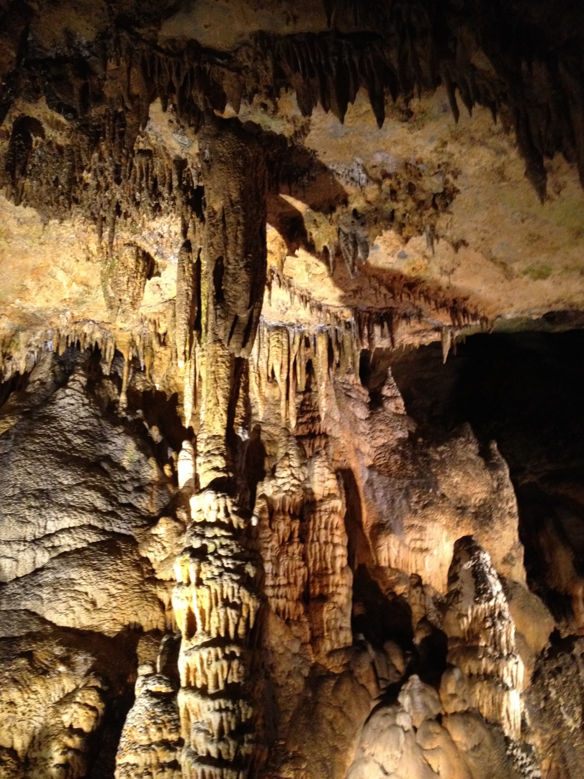
Luray Cavern
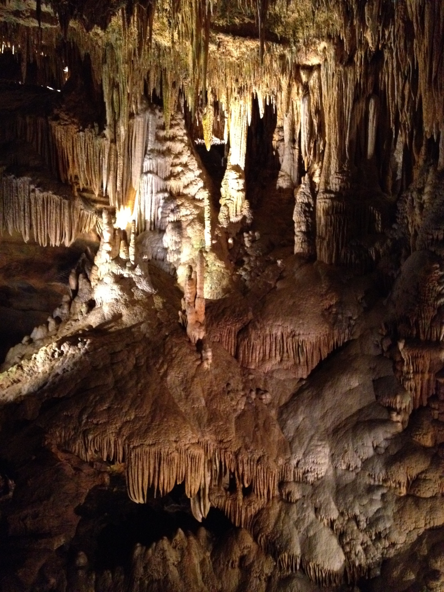
Luray Caverns
Shenandoah National Park
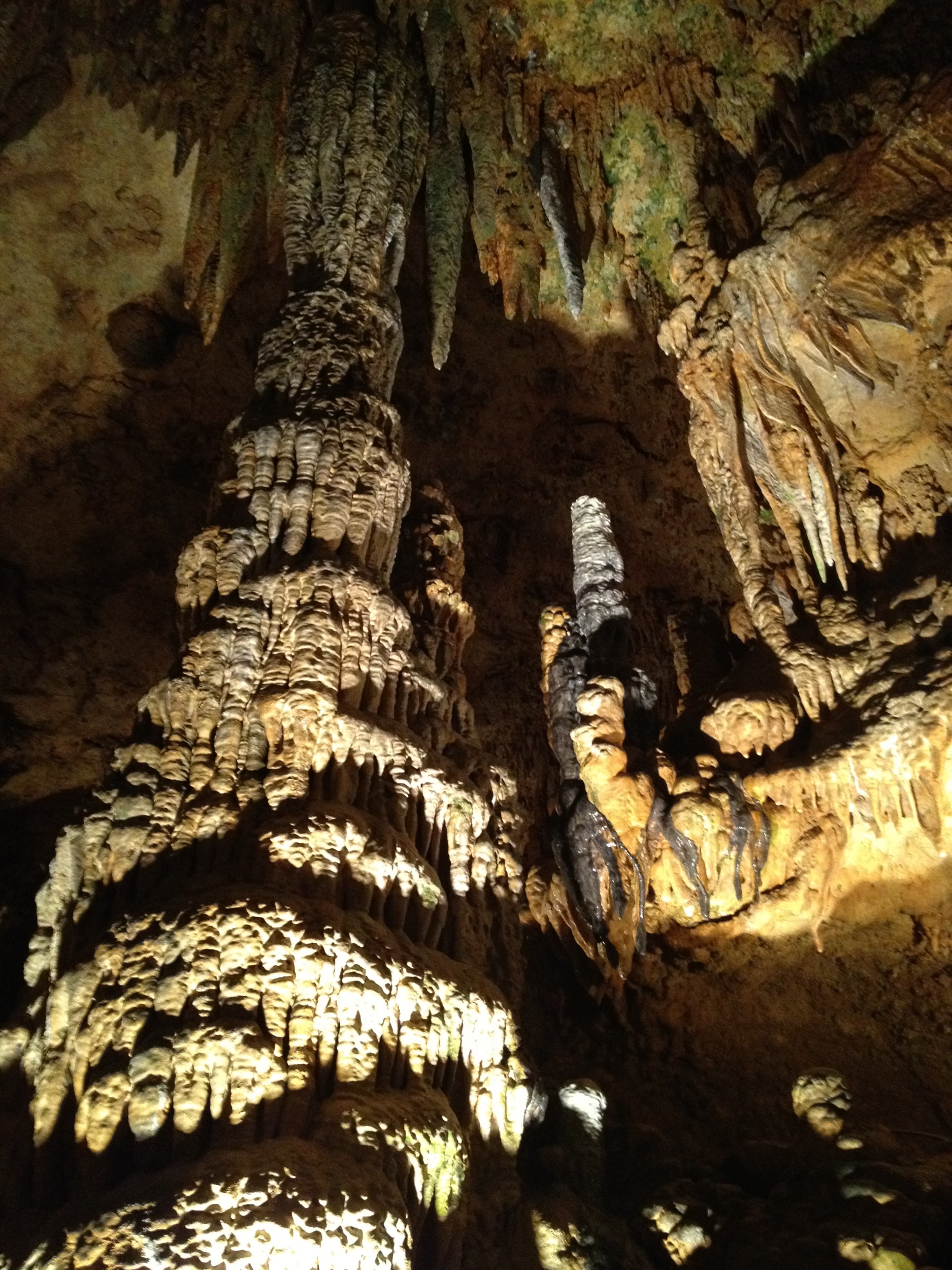
Luray Cavern
2013-12-29 15.38.06
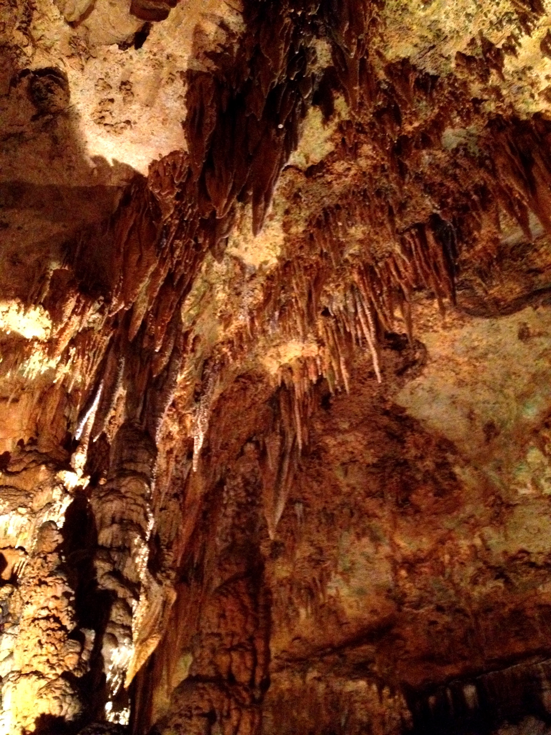
Luray Cavern
Topographic Map of 73 7 Ponds Rd, Amissville, VA, USA
Find elevation by address:

Places near 73 7 Ponds Rd, Amissville, VA, USA:
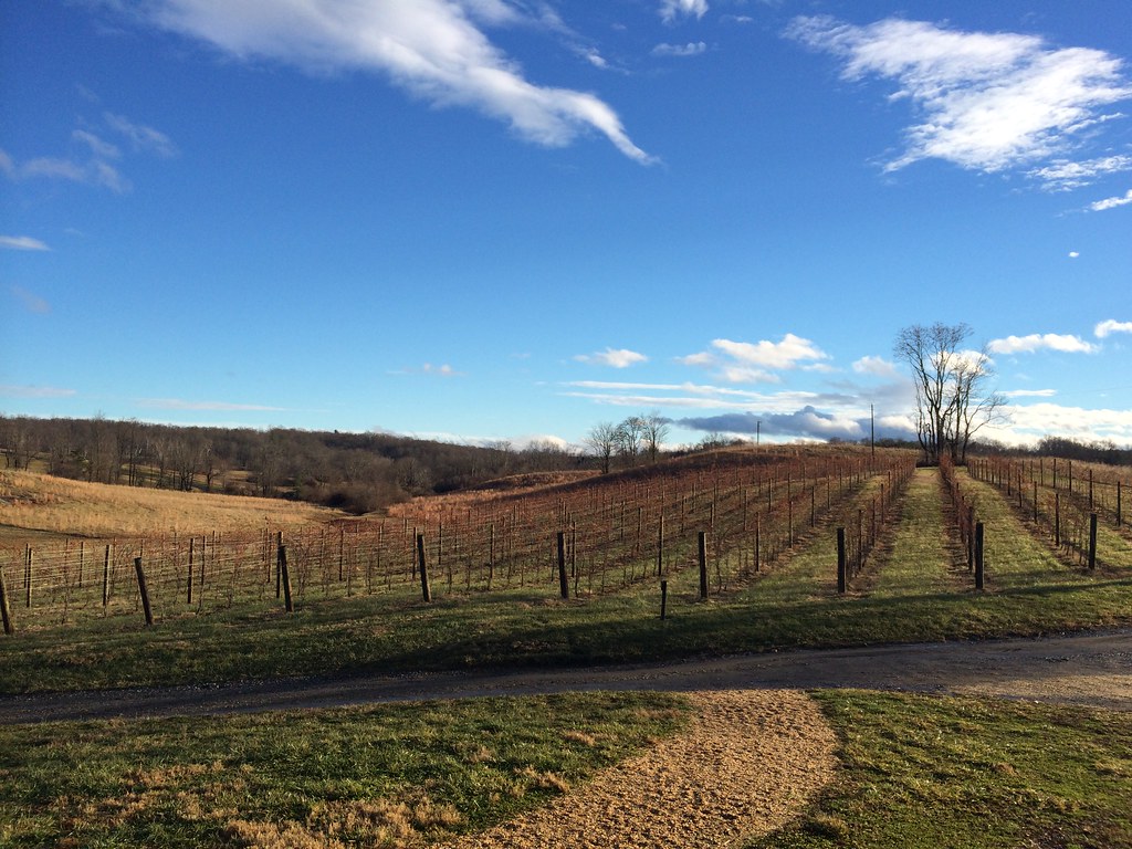
Narmada Winery
Jackson
Gray Ghost Vineyards
60 Random Hills Ln
90 Jordans Rd
280 Hinson Ford Rd
Chestnut Oak Lane
State Route 645
Rollins Ford Road
4 Four Springs Rd
Hungry Run Farm Lane
1225 Mary Brit Ln
Deerfield Lane
1474 Freeman Dr
7426 Leeds Manor Rd
Crest Hill Rd, Hume, VA, USA
Kristin Ln, Amissville, VA, USA
6844 Leeds Manor Rd
6517 Wincewood Dr
6009 Lake Sunset Ln
Recent Searches:
- Elevation of Elwyn Dr, Roanoke Rapids, NC, USA
- Elevation of Congressional Dr, Stevensville, MD, USA
- Elevation of Bellview Rd, McLean, VA, USA
- Elevation of Stage Island Rd, Chatham, MA, USA
- Elevation of Shibuya Scramble Crossing, 21 Udagawacho, Shibuya City, Tokyo -, Japan
- Elevation of Jadagoniai, Kaunas District Municipality, Lithuania
- Elevation of Pagonija rock, Kranto 7-oji g. 8"N, Kaunas, Lithuania
- Elevation of Co Rd 87, Jamestown, CO, USA
- Elevation of Tenjo, Cundinamarca, Colombia
- Elevation of Côte-des-Neiges, Montreal, QC H4A 3J6, Canada