Elevation of Leeds Manor Rd, Marshall, VA, USA
Location: United States > Virginia > Fauquier County > Marshall > Marshall >
Longitude: -77.948410
Latitude: 38.7285019
Elevation: 186m / 610feet
Barometric Pressure: 99KPa
Elevation Map:
Satellite Map:
Related Photos:
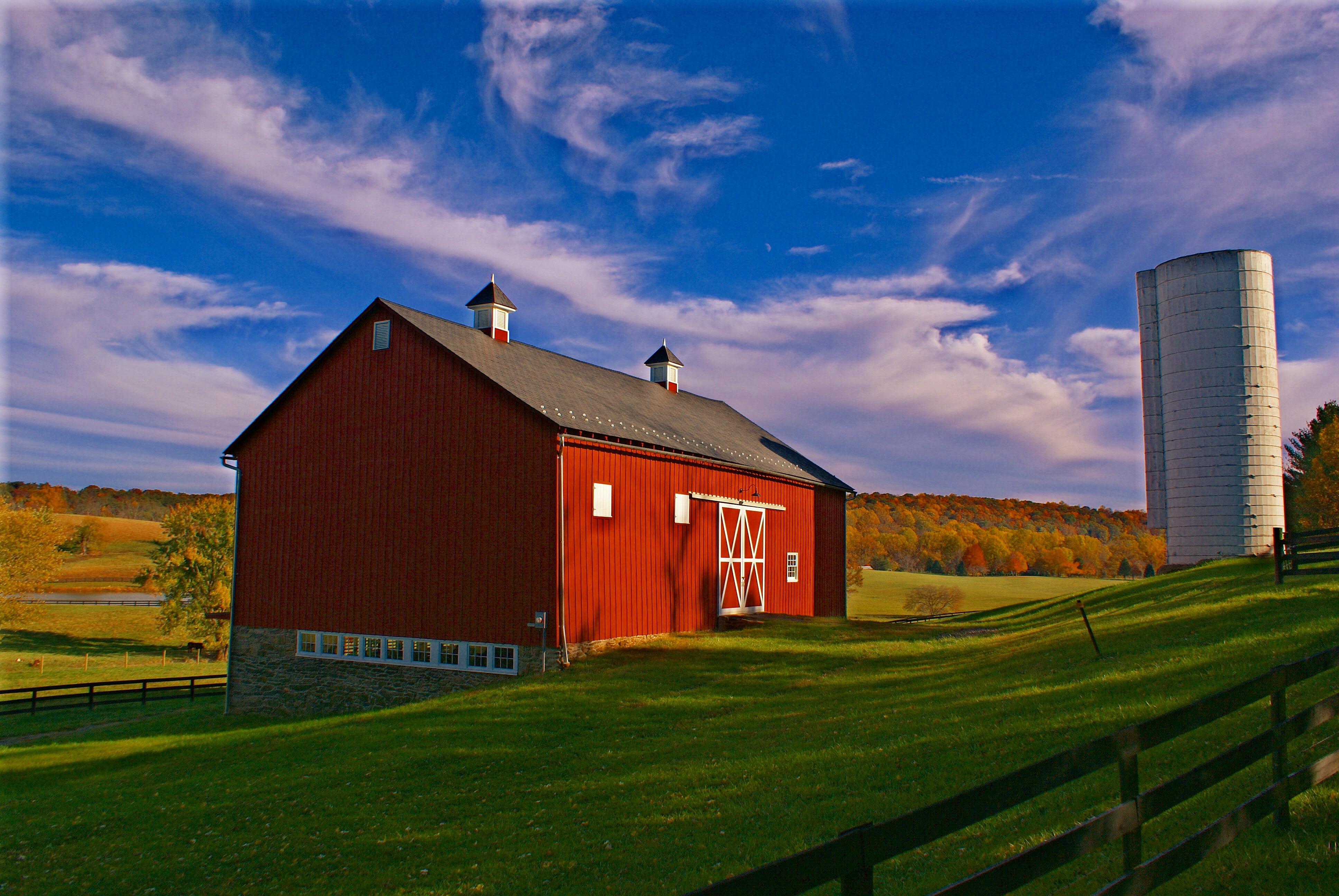
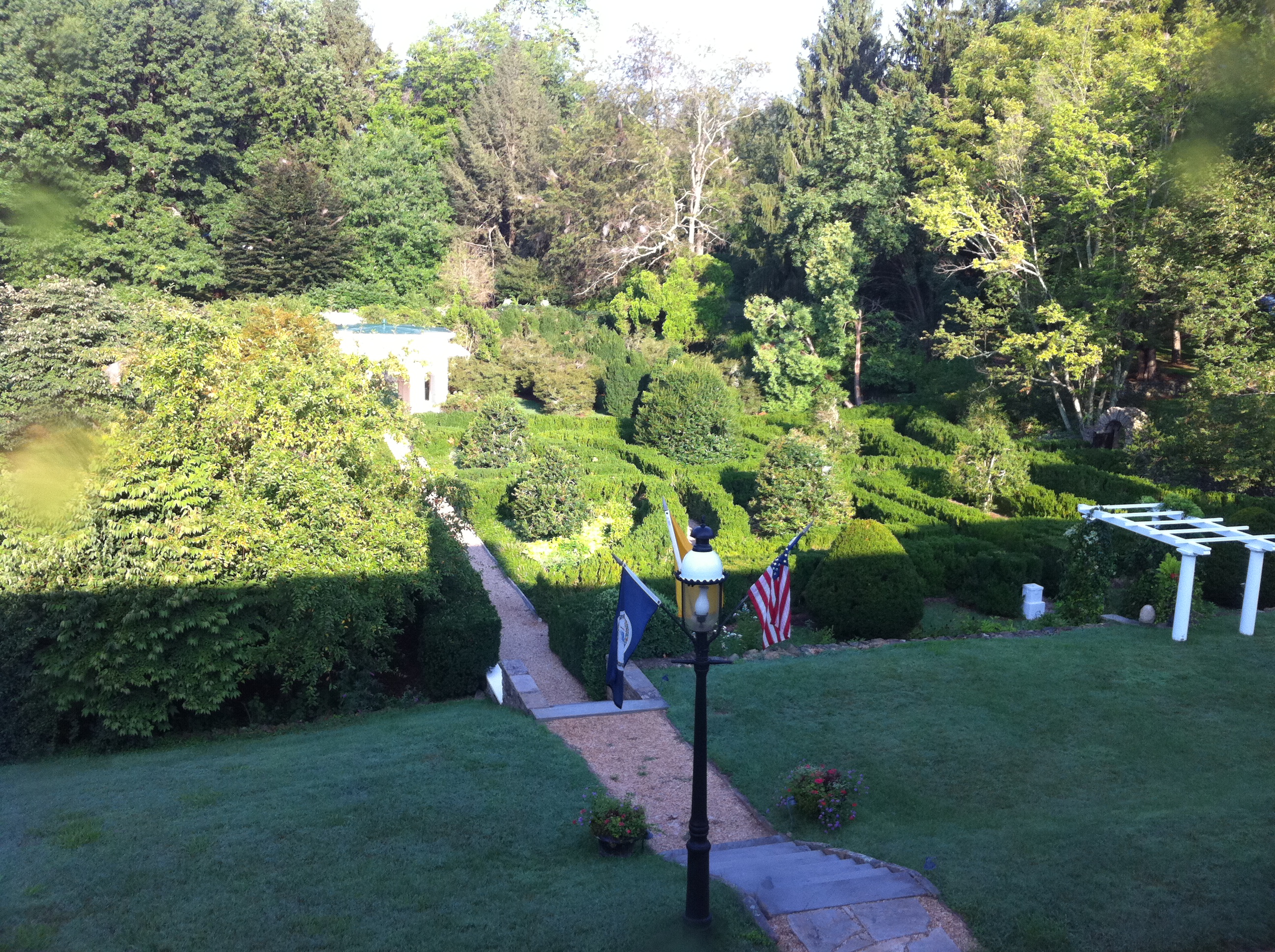
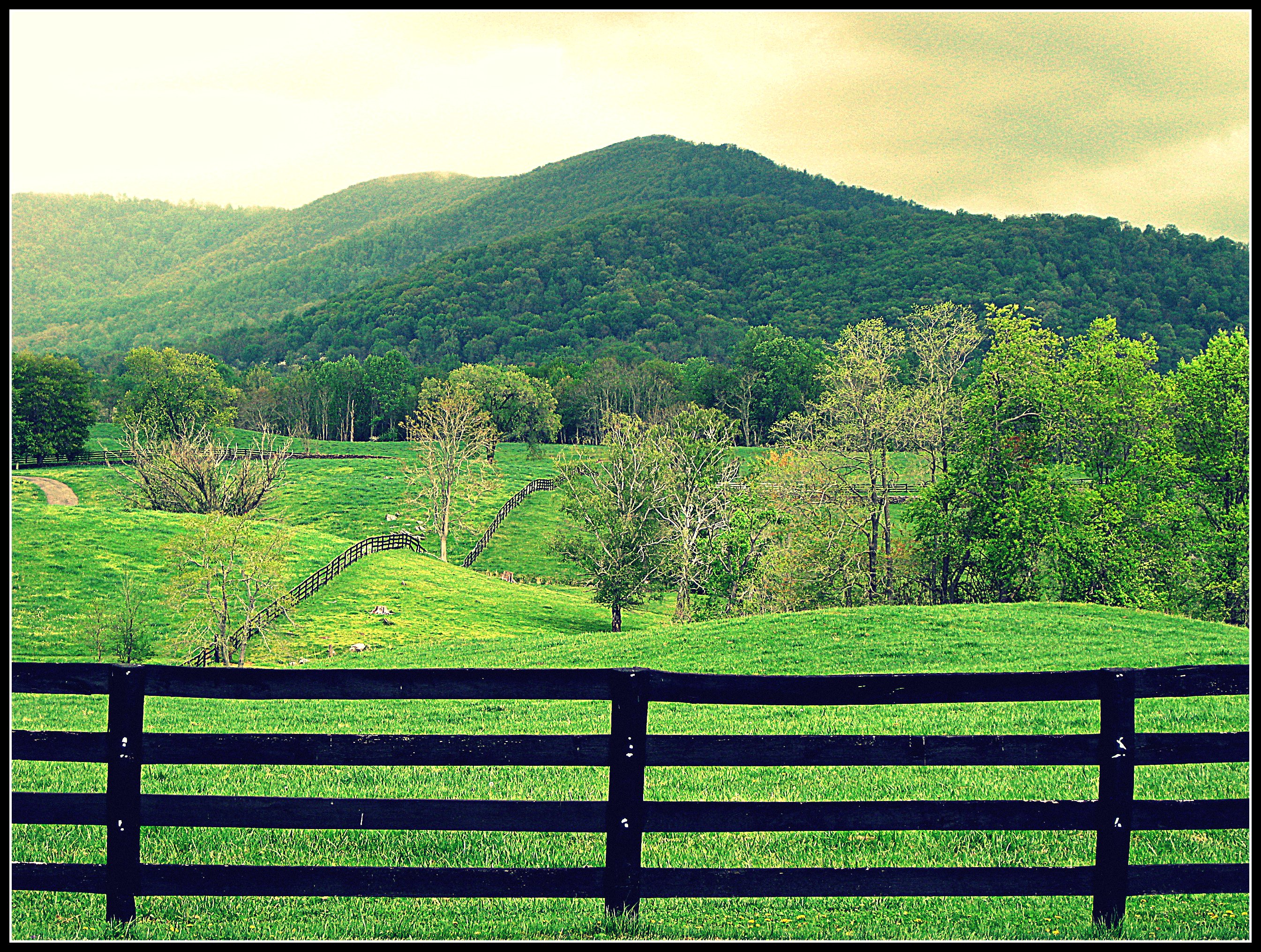
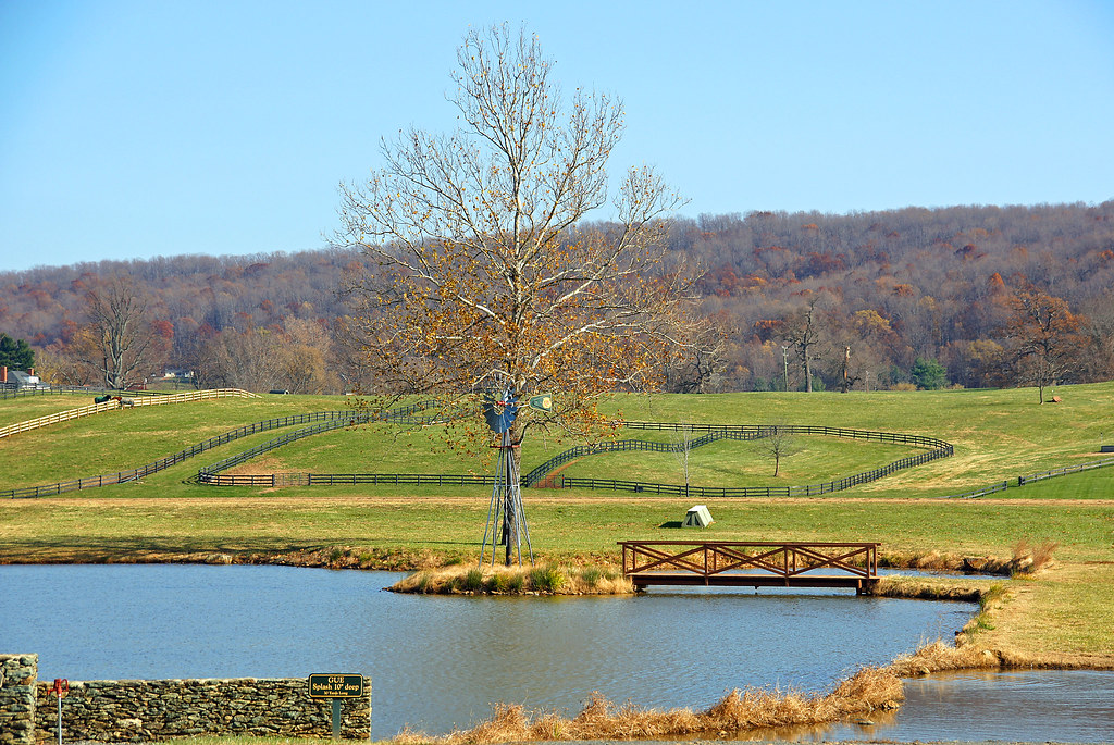
Wachtmeister Farm

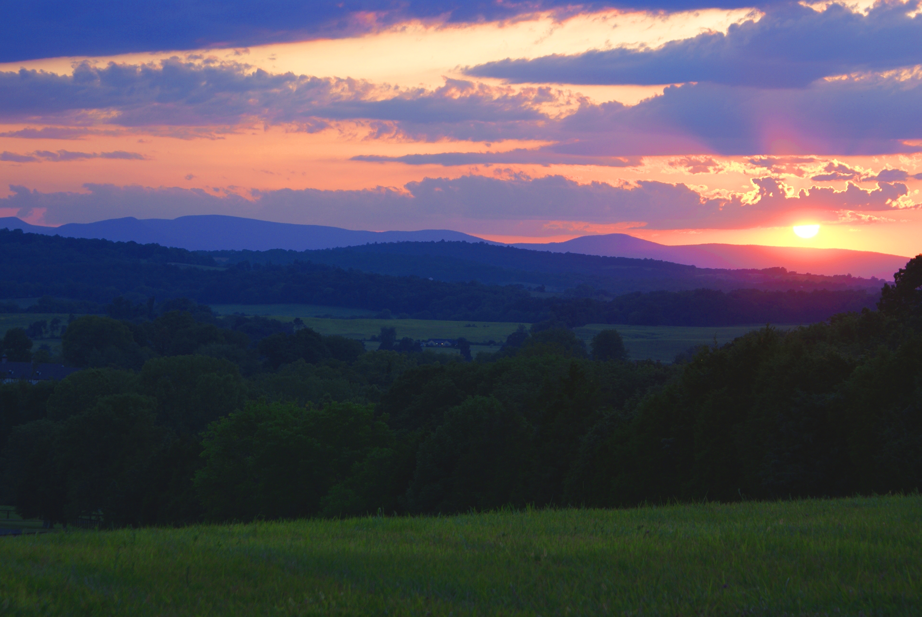
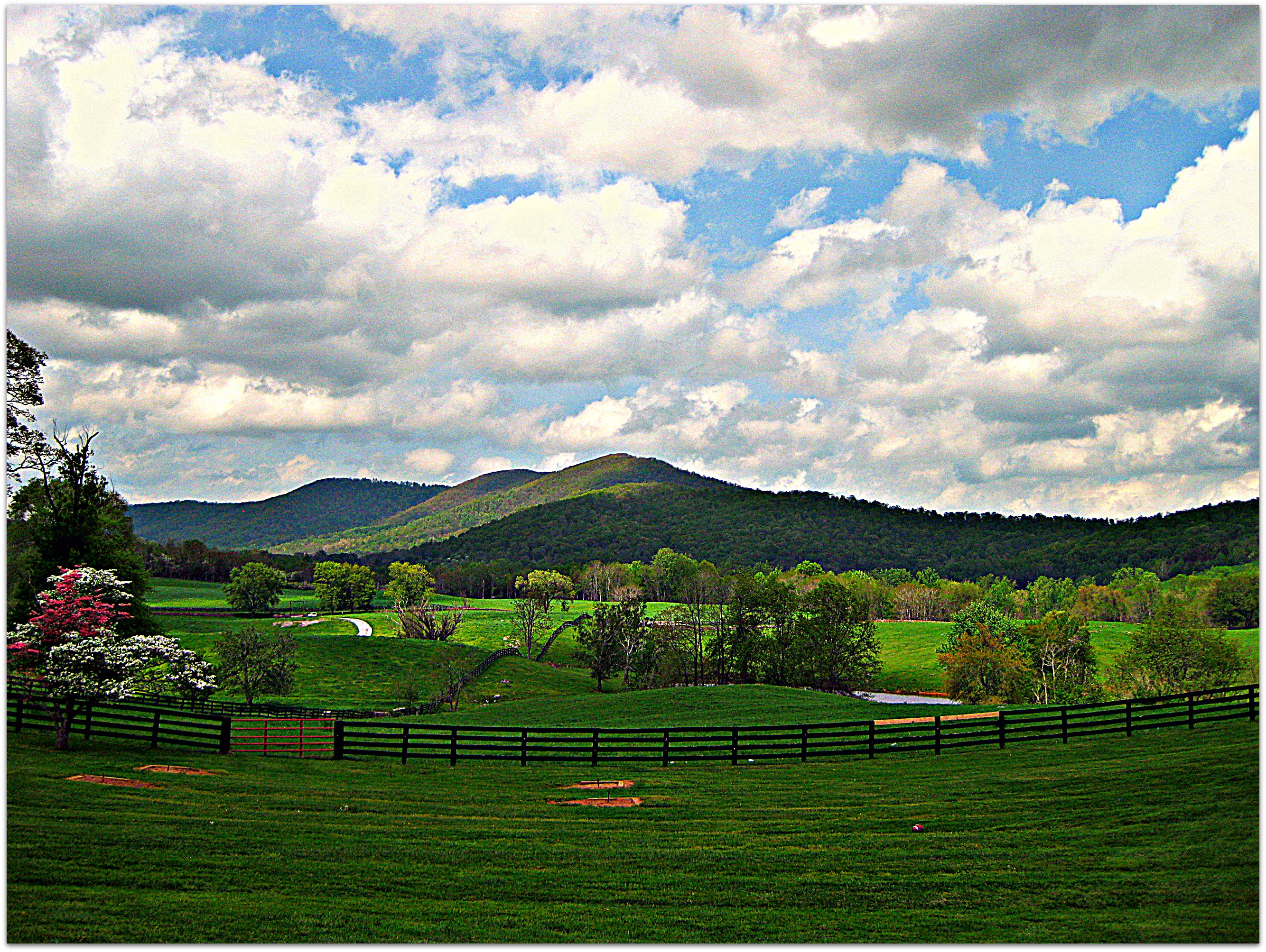
Distant Shenandoahs
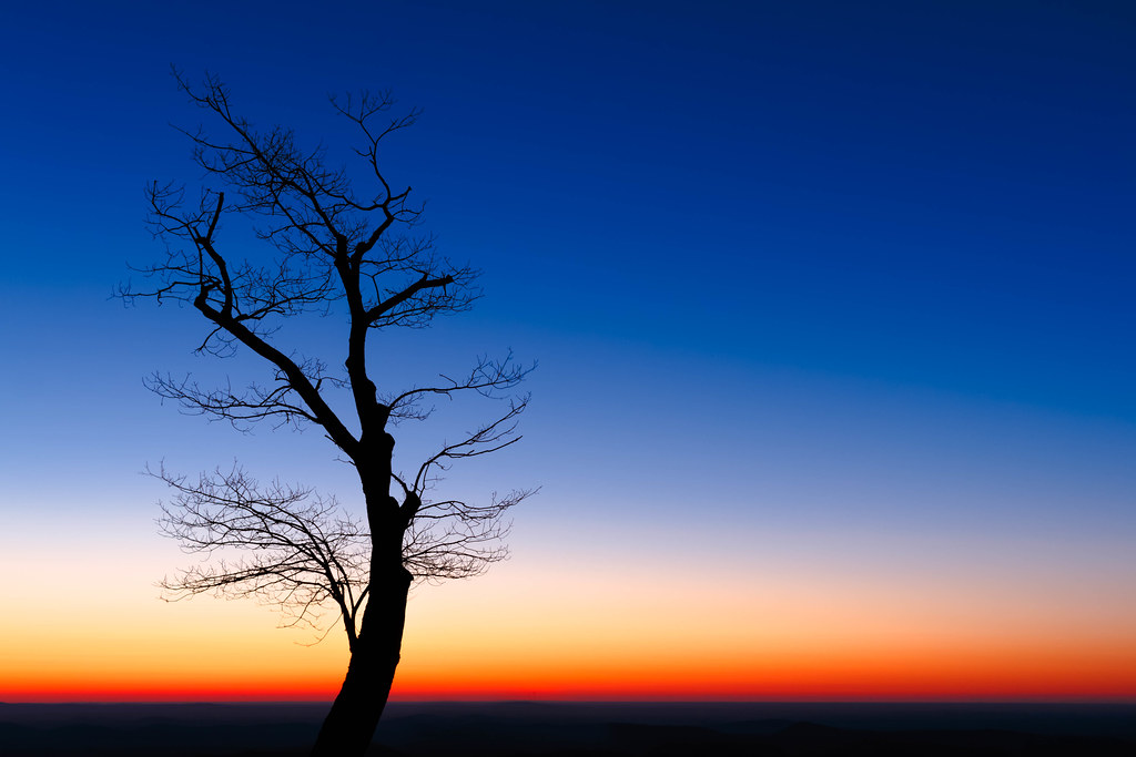
End of Night at Hazel Mountain Overlook
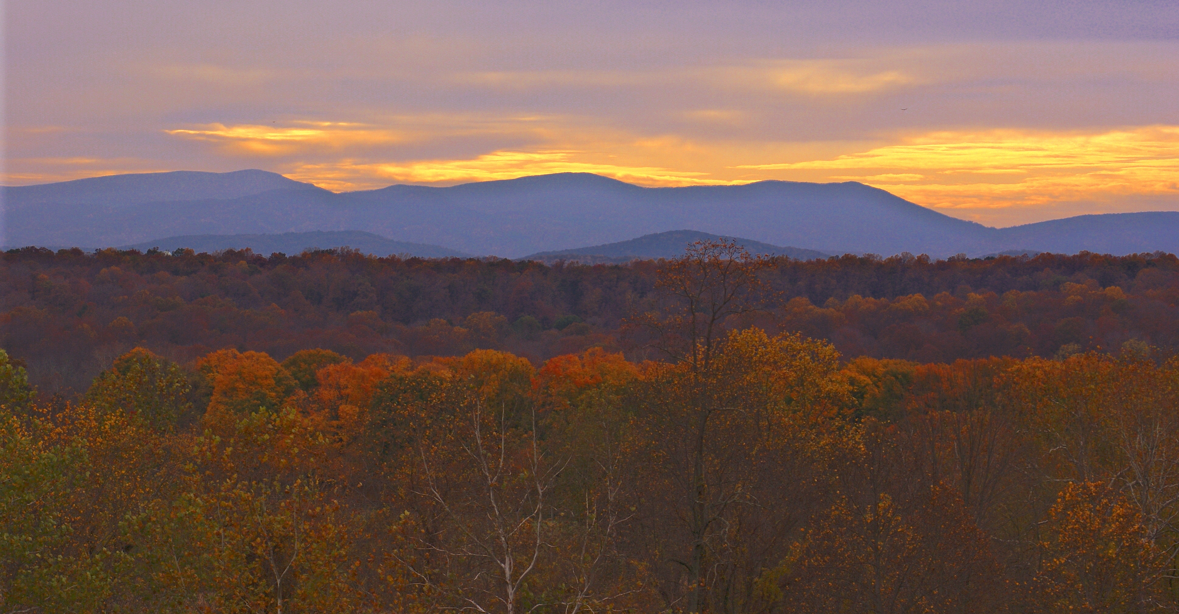
Distant Shenandoahs
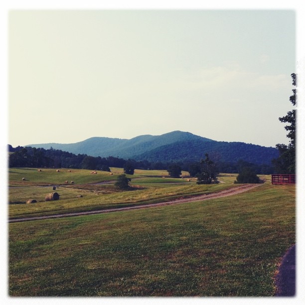
the view

Marriott Ranch -Joe 13

Rayus C01 Logo Side View
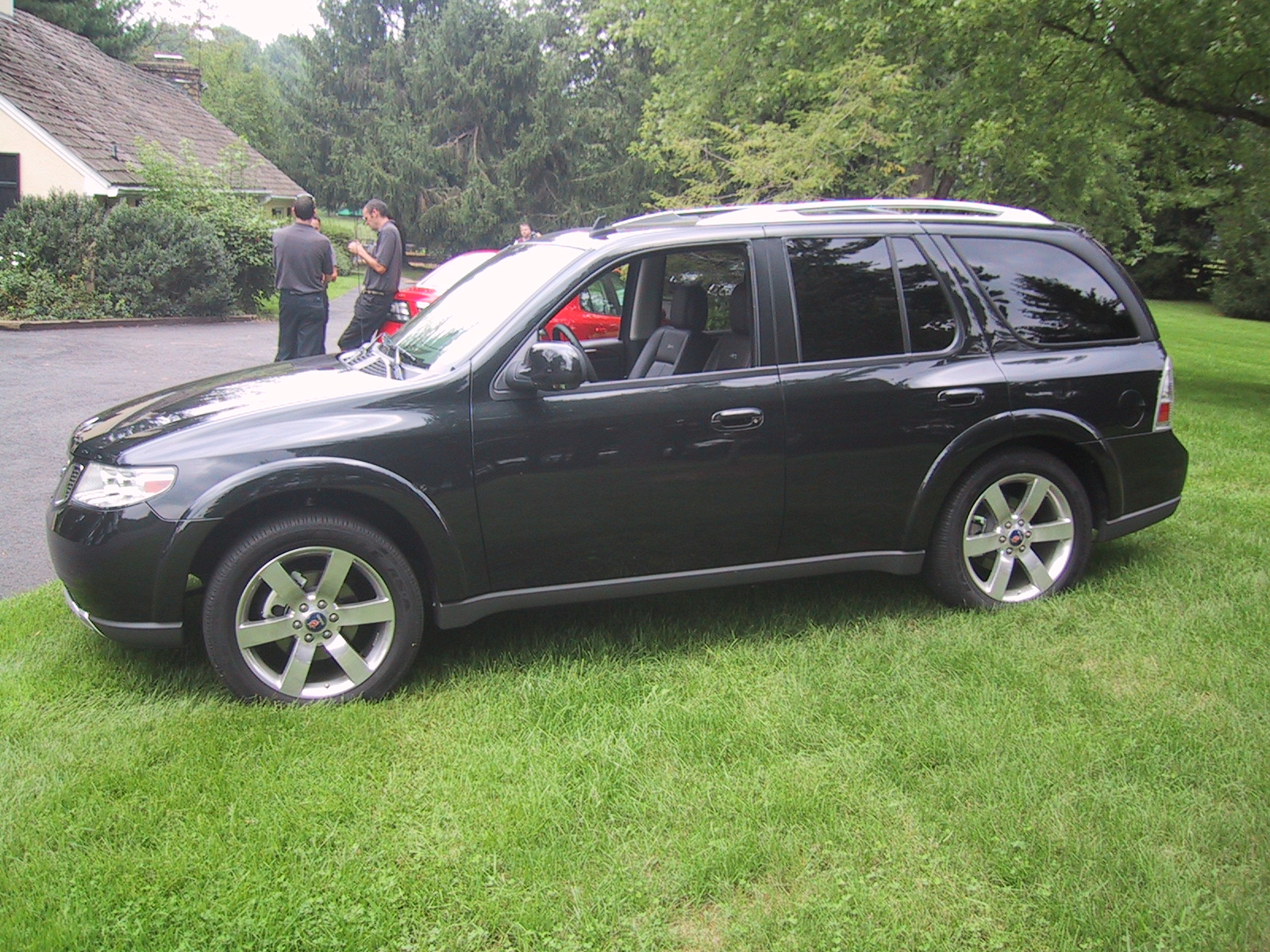
Side view of the 9-7X Aero

Flight to CHO - Panorama of Sky
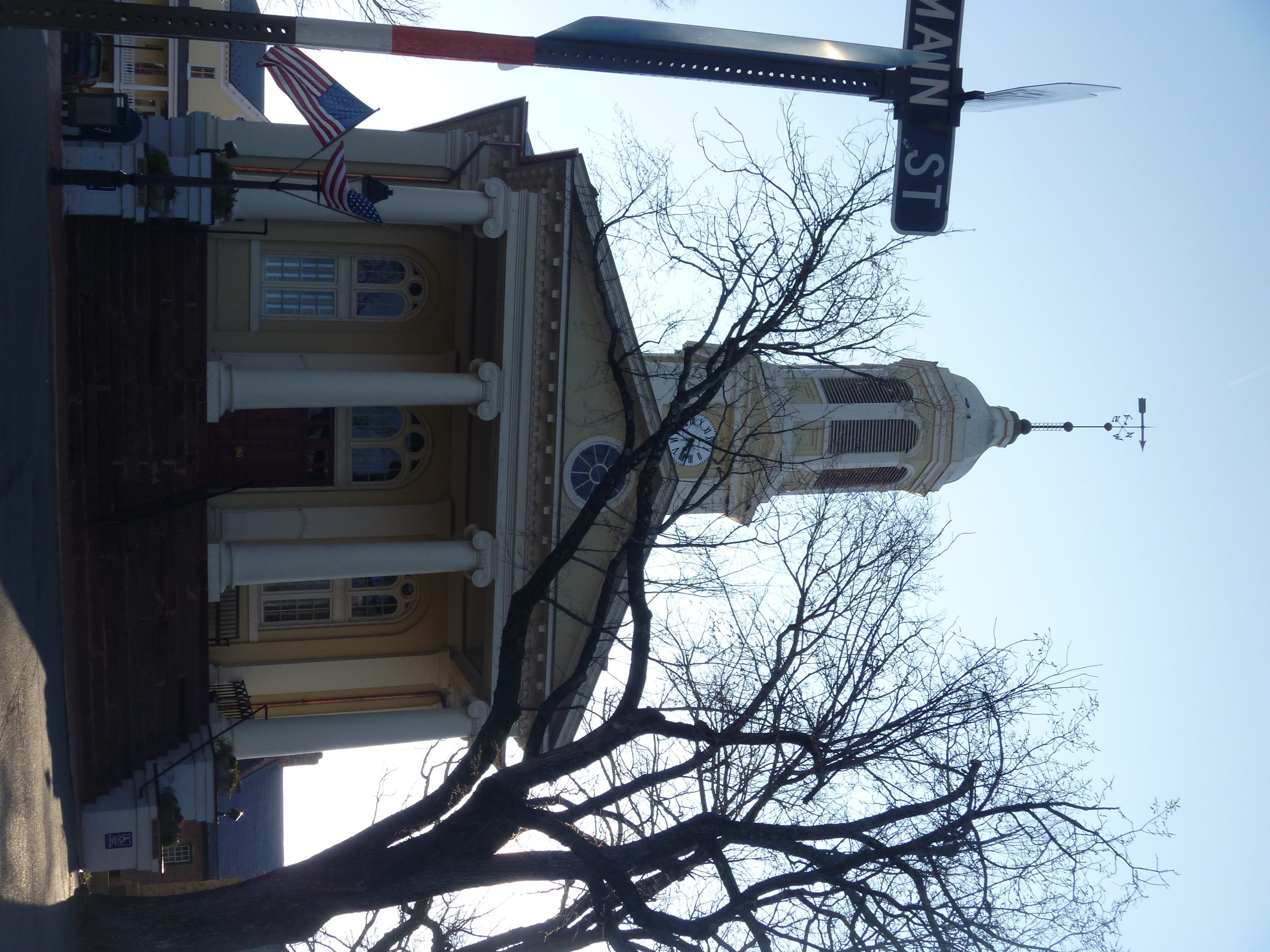
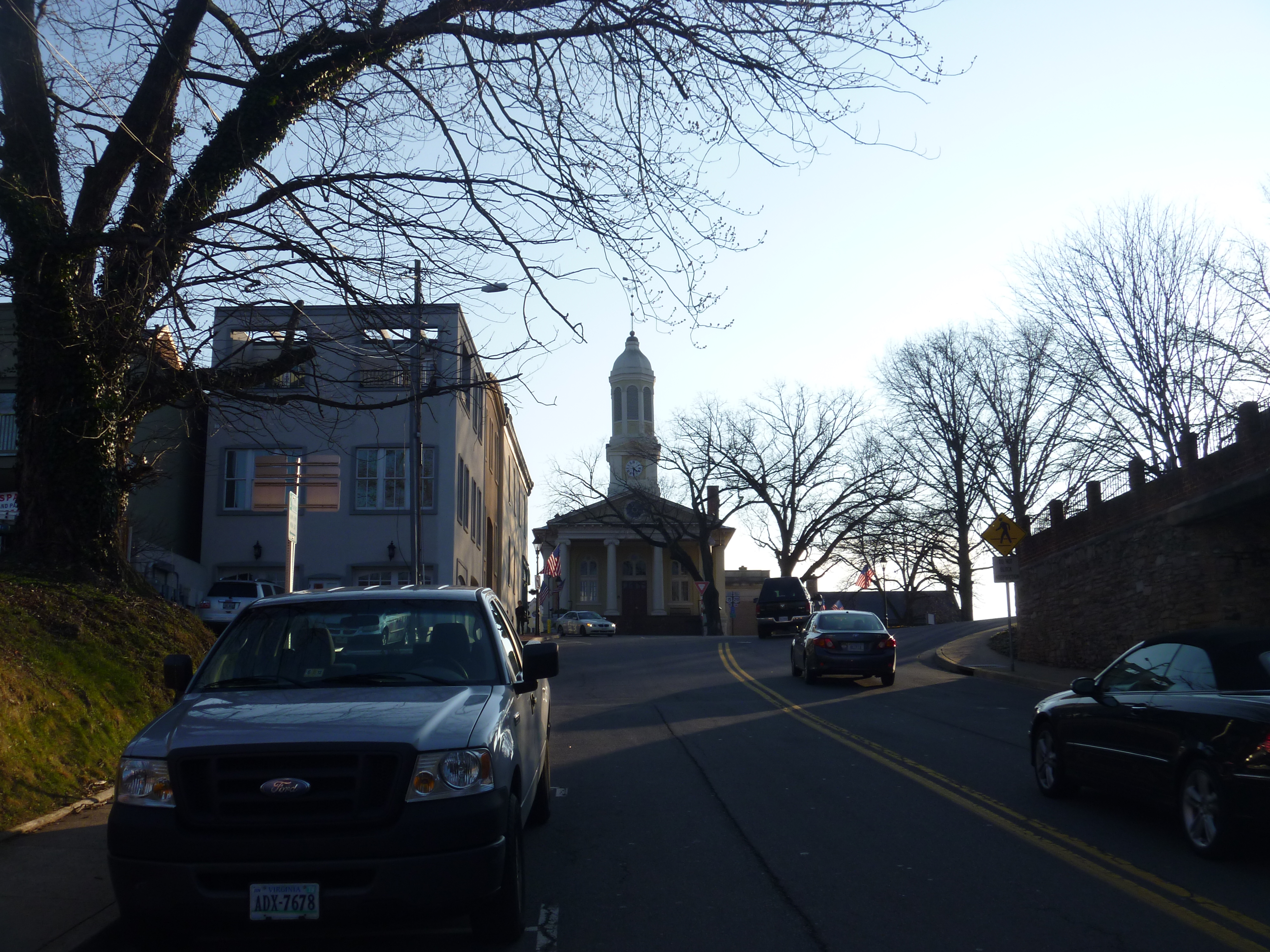
Front View Of Fauquier County Courthouse

Rayus C01 Side View 2

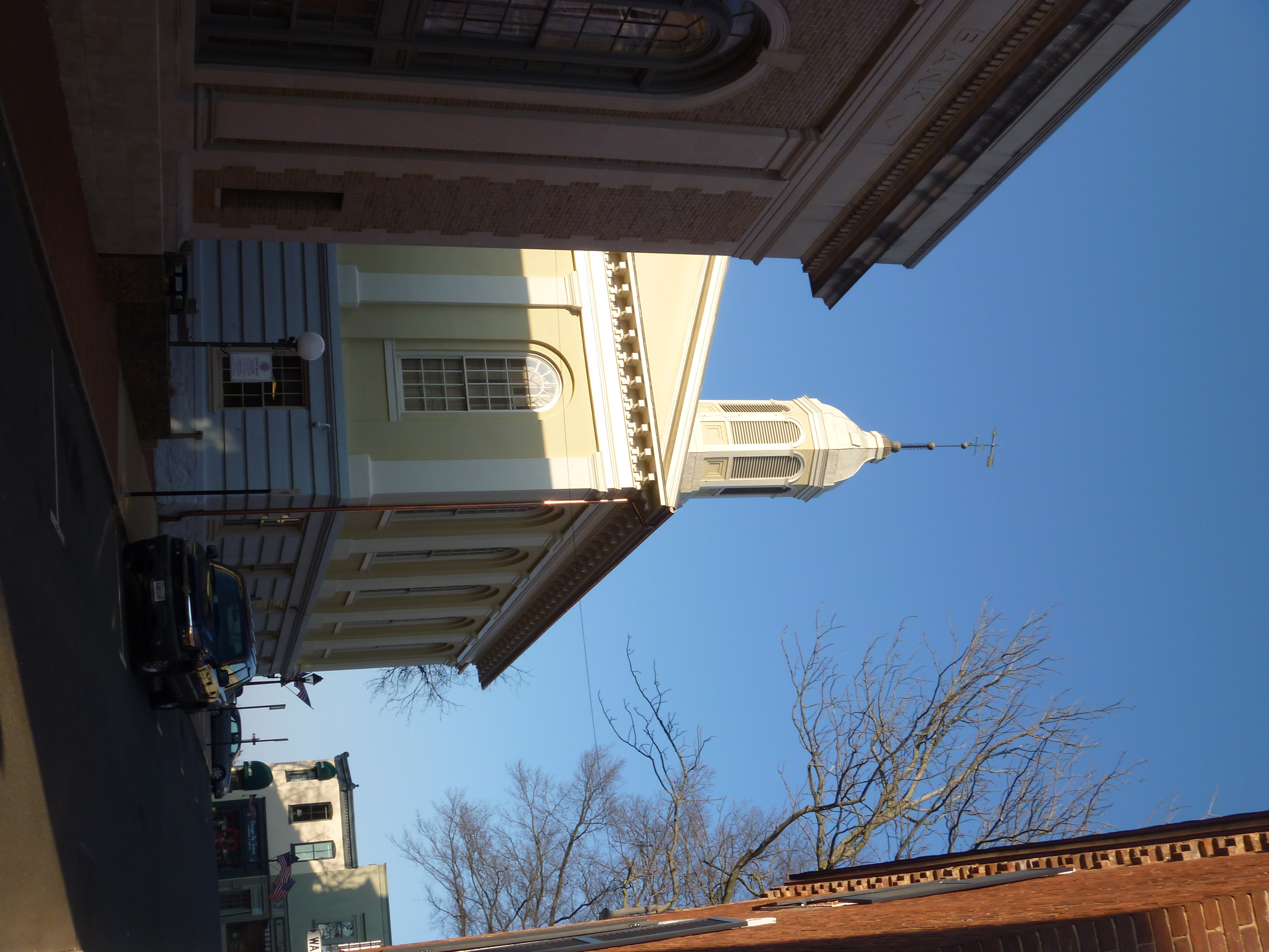
Eastern View Of Fauquier County Courthouse
Southern View Of Fauquier County Courthouse
MBA Opening Residency
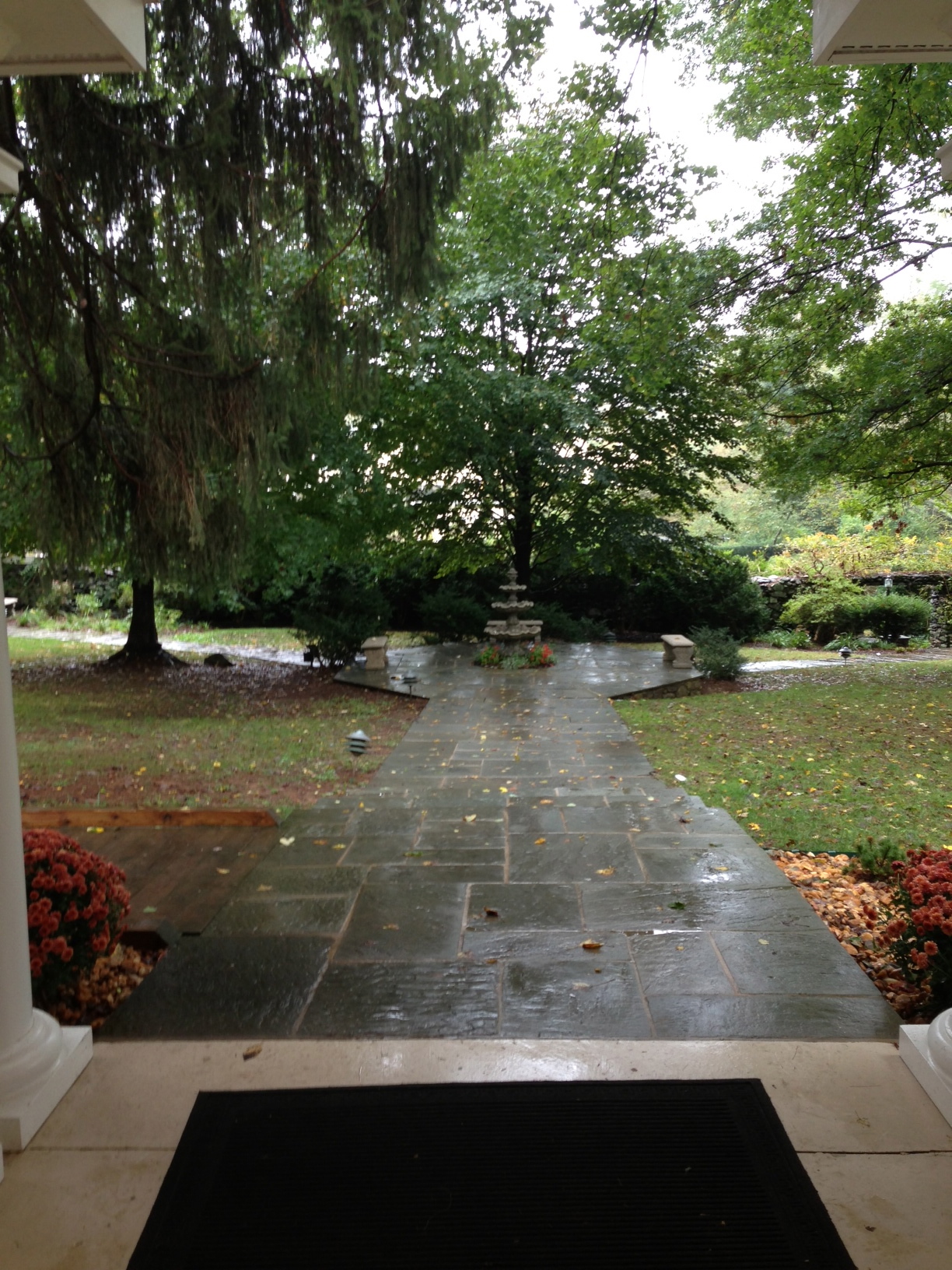
Water fountain
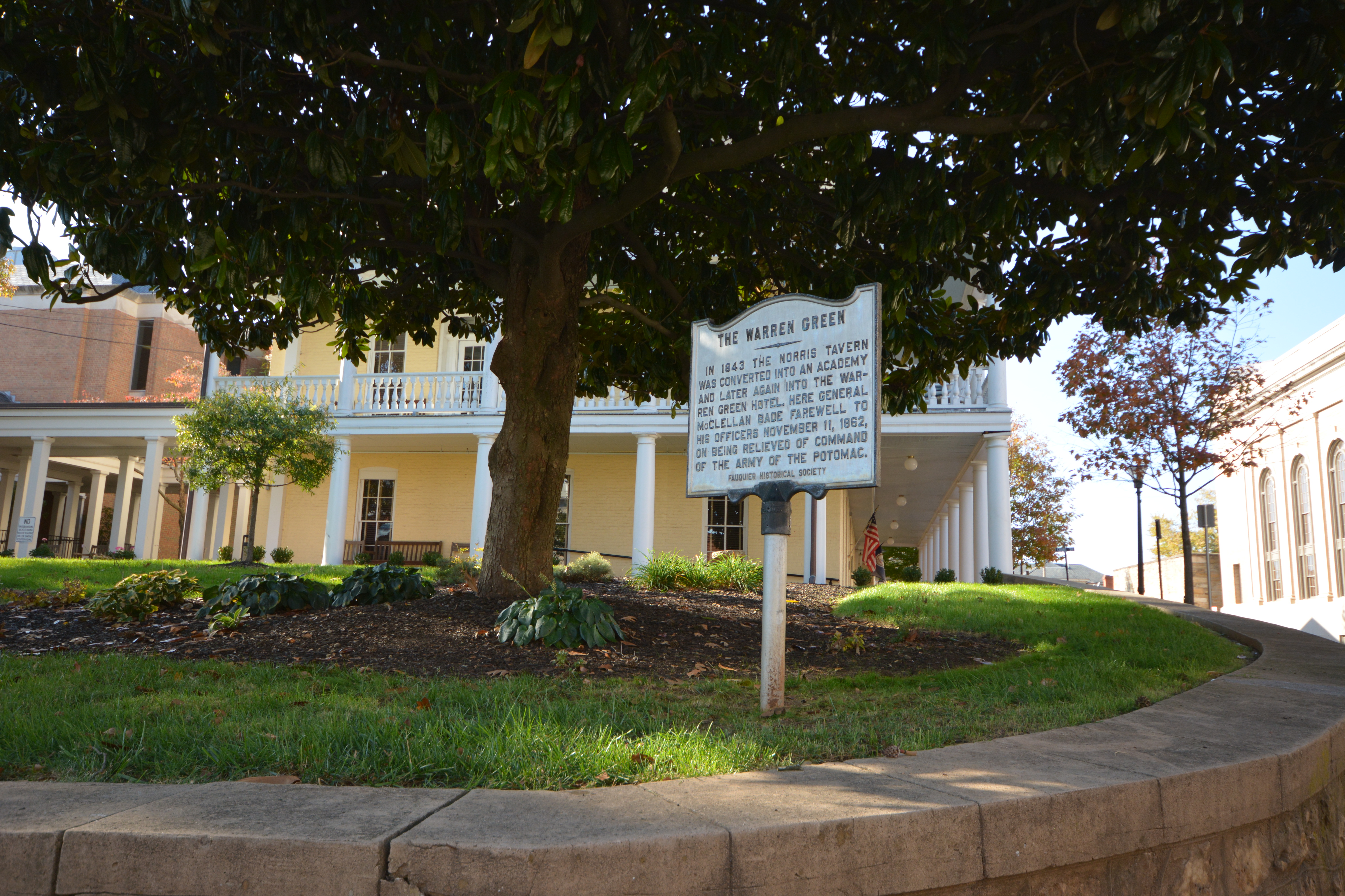
The Warren Green in Warrenton, Virginia

Marriott Ranch Interior -Joe 03
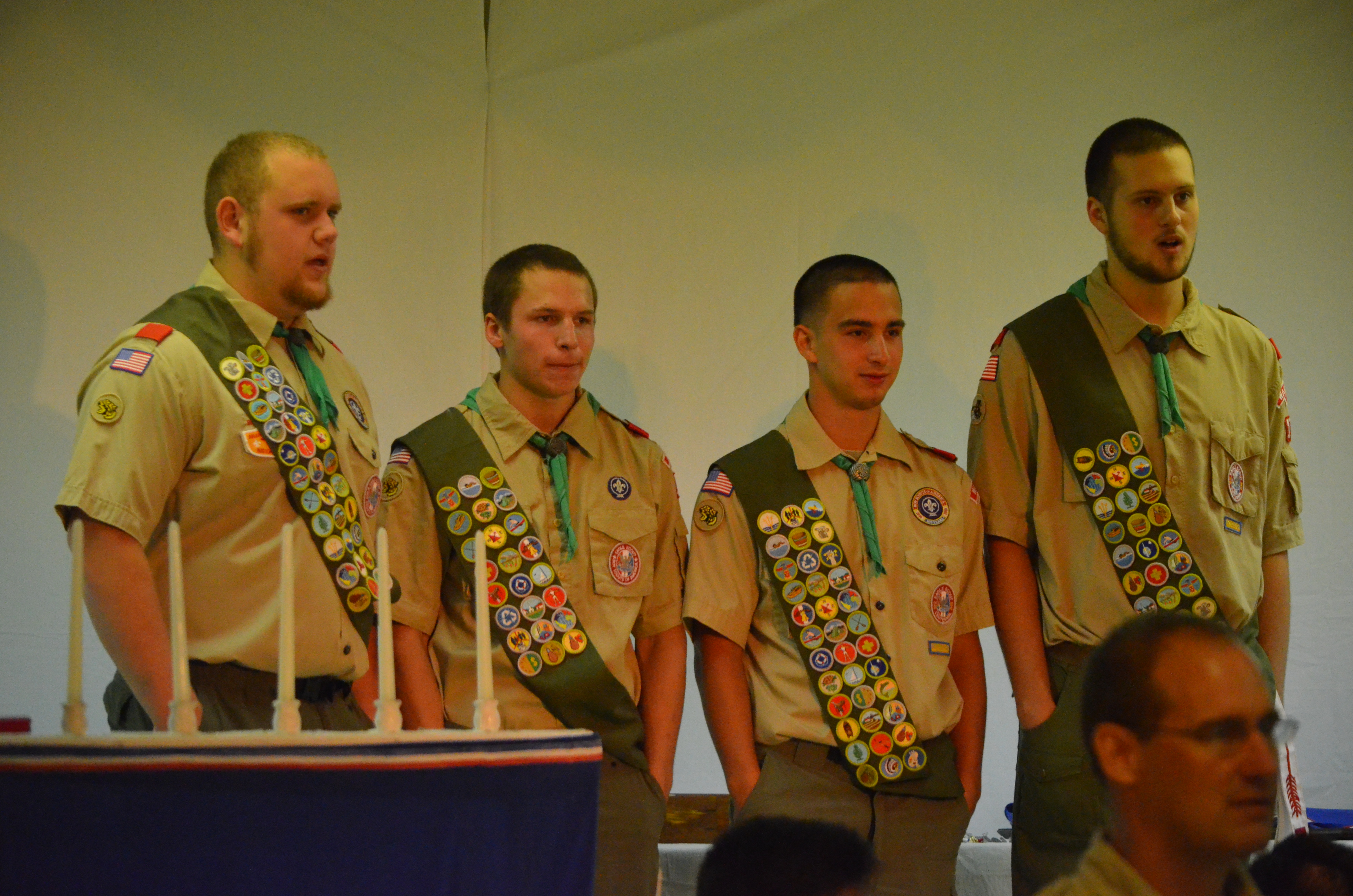
2013-08-18 (7) Eagle Scout Honor Court

Clermont, circa 1870, Hume Road, Hume, VA
Distant View Of Fauquier County Courthouse
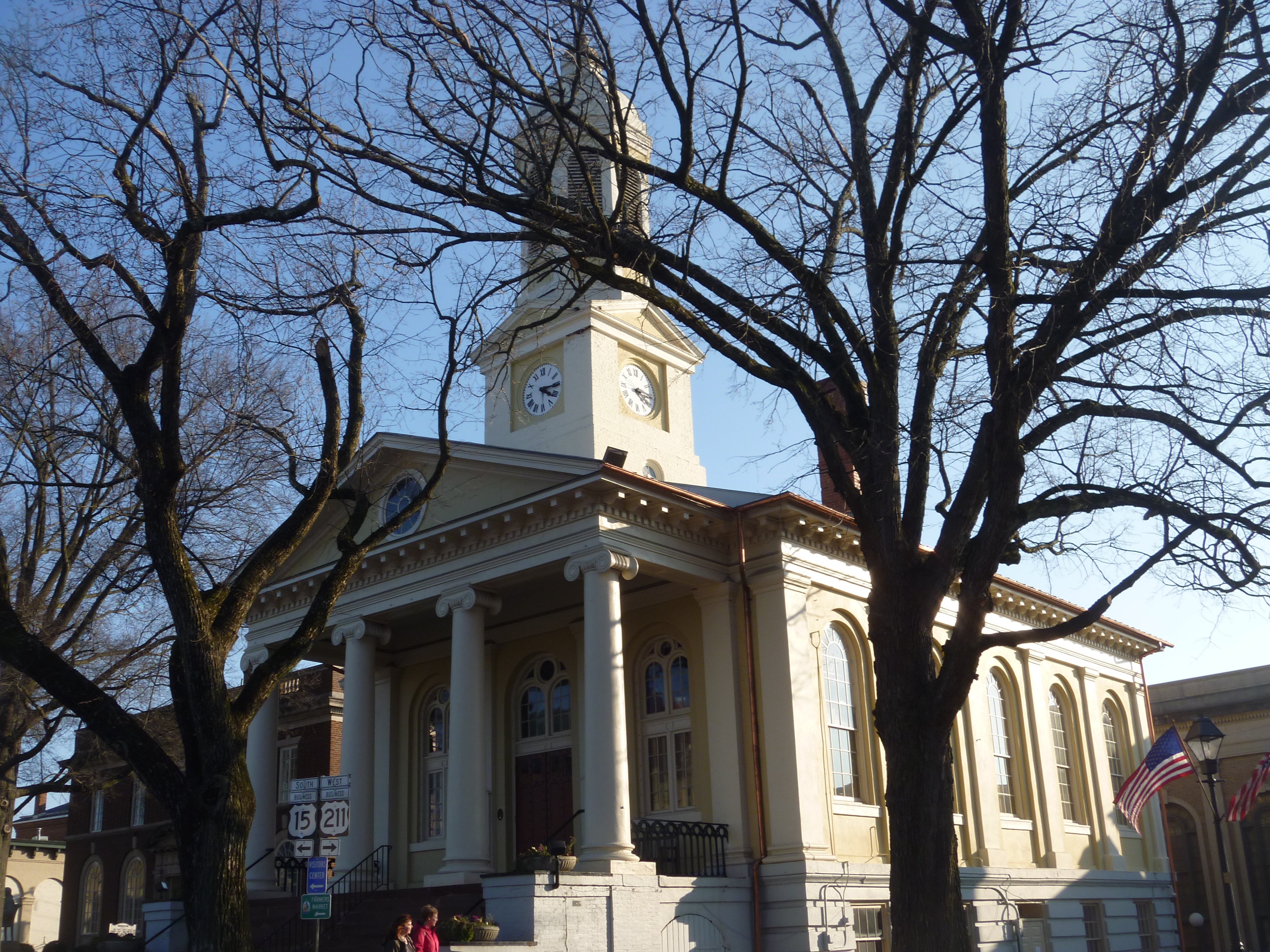
Western View Of Fauquier County Courthouse
Sweet Greens : )

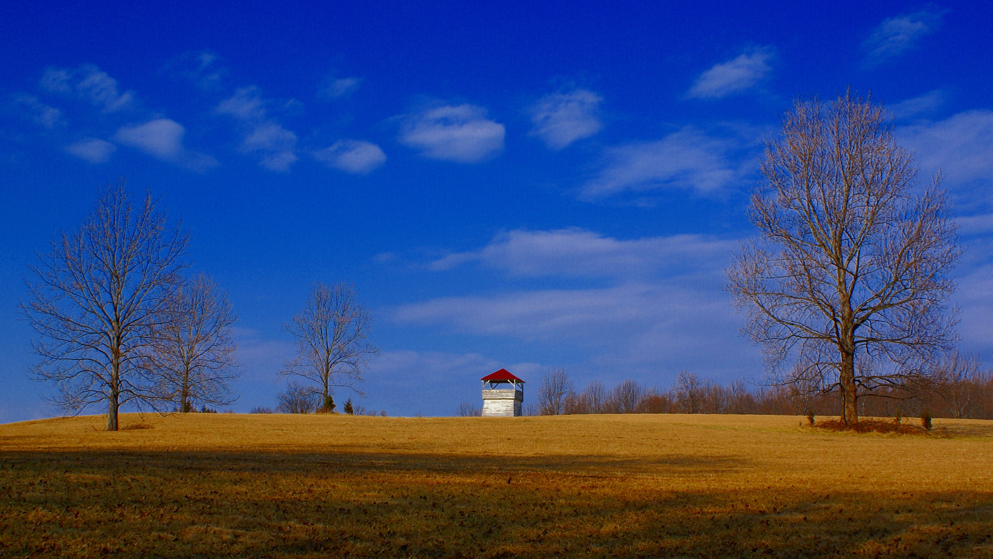
Watching over the farm...
Day 289--10/15/12: Monday at work
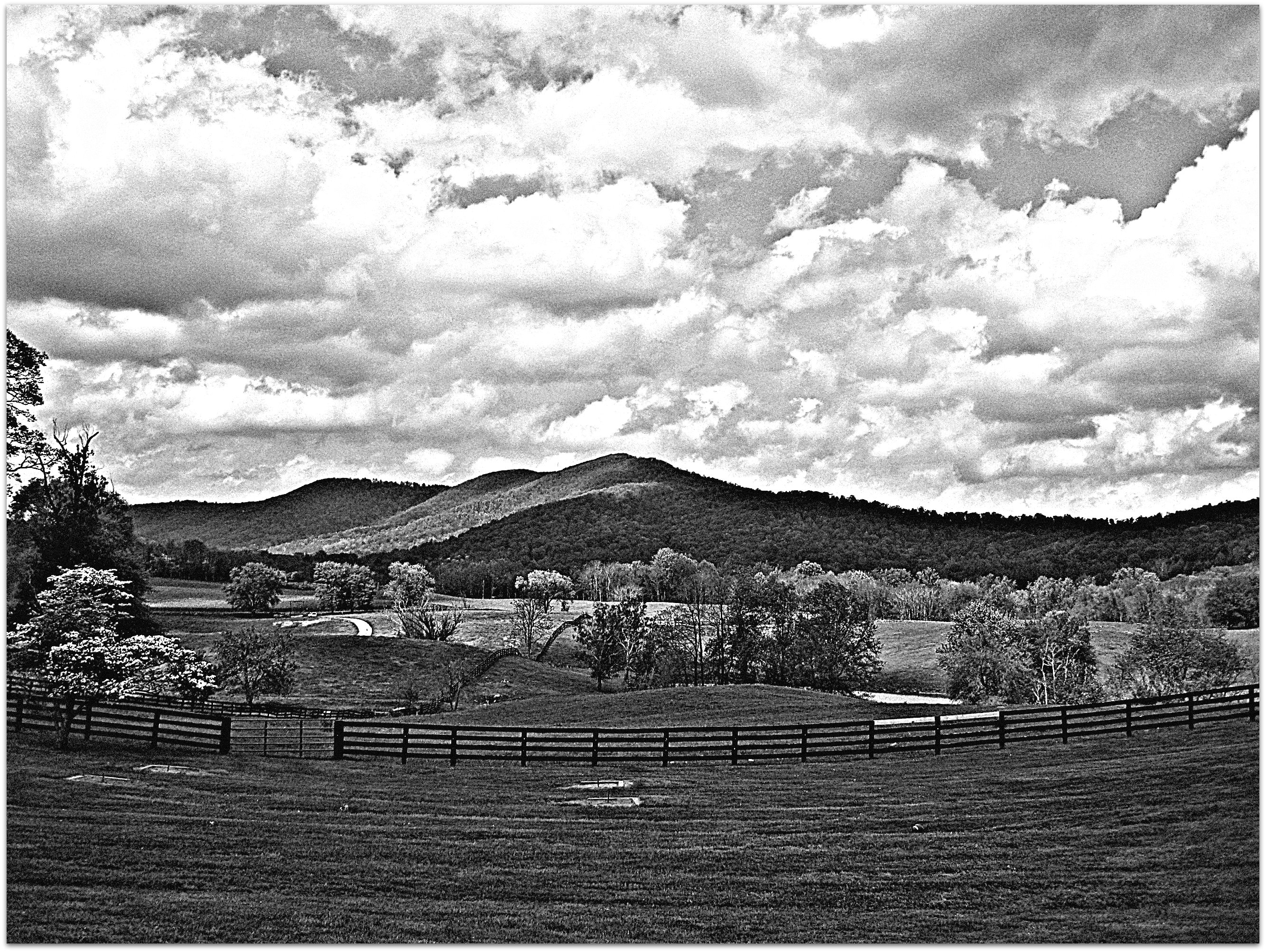
Lees Ridge

High Meadow Farm, circa 1780, Flint Hill, VA
Farm Lake-Hwy 17-Warenton VA 00980
Away from the Hustle & Bustle
North Wales Farm
Countryside Farmland
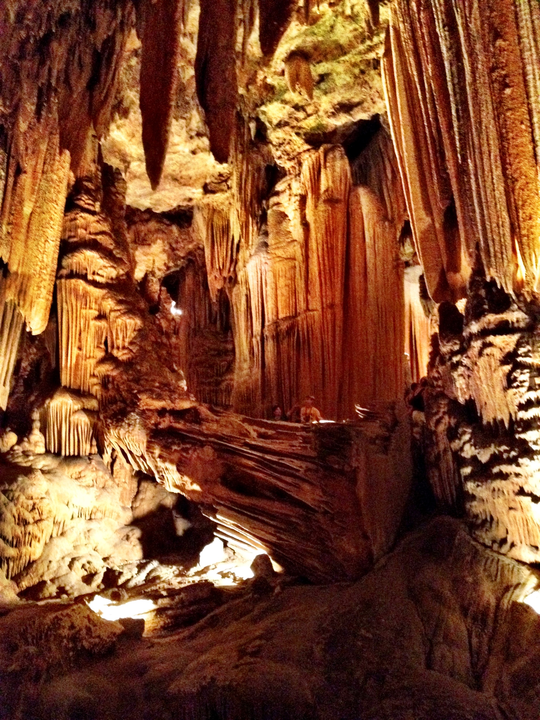
Luray Caverns

Luray Caverns
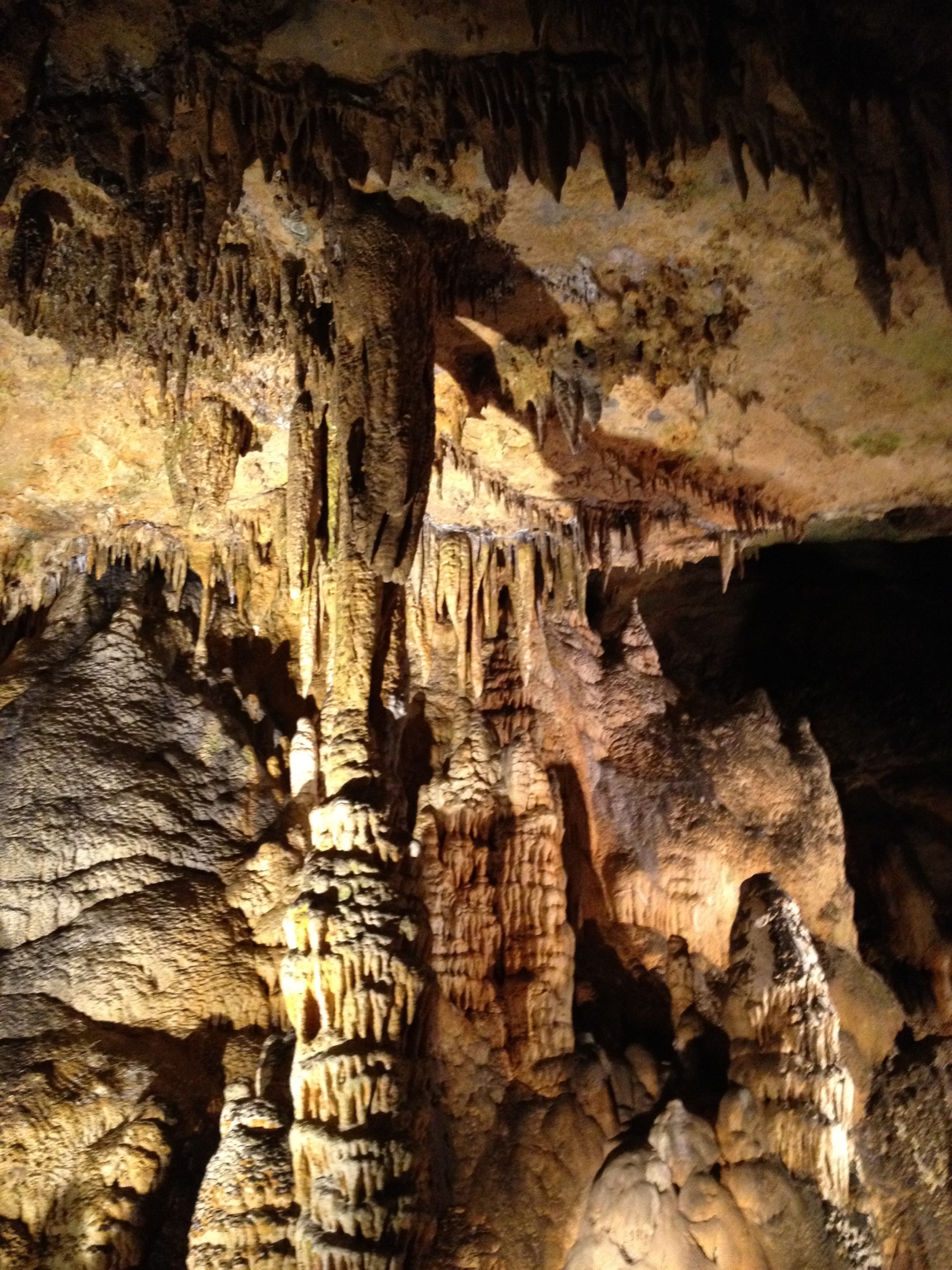
Luray Cavern
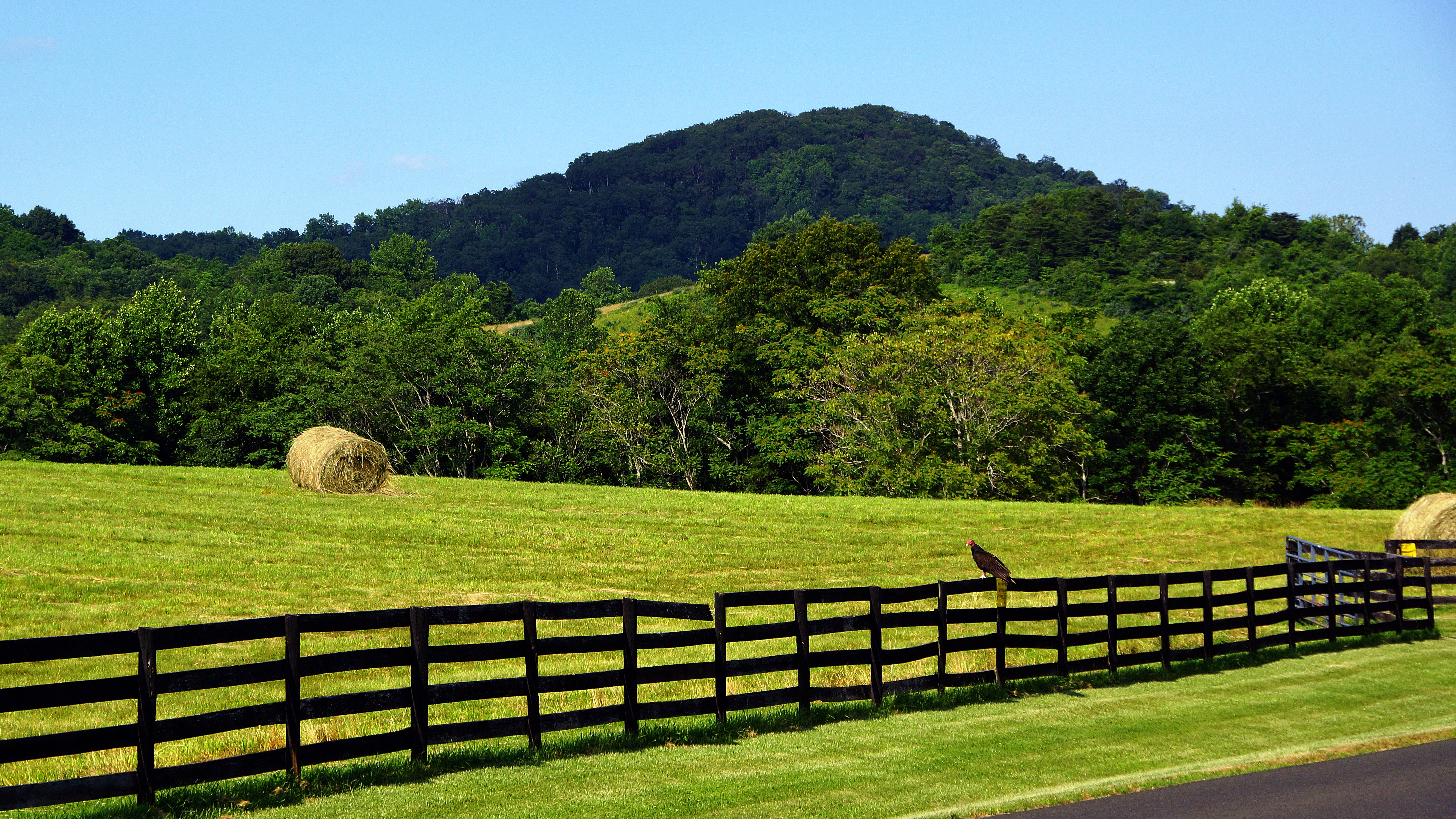
Buzzard and Bales, Hume Road, Fauquier County, Virginia
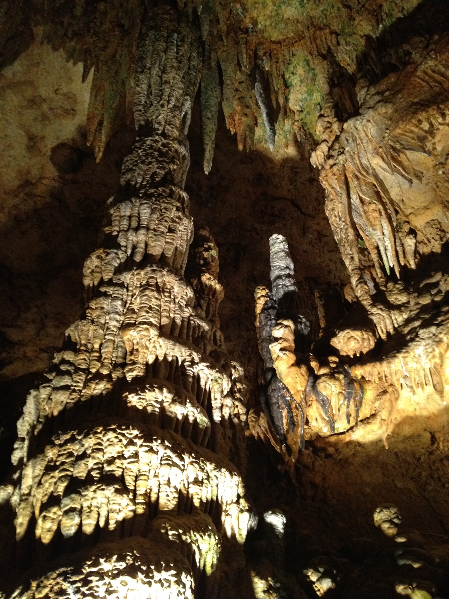
Luray Cavern
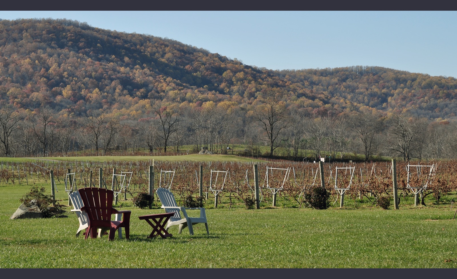
CTK Out - Philip Carter Winery of Virginia
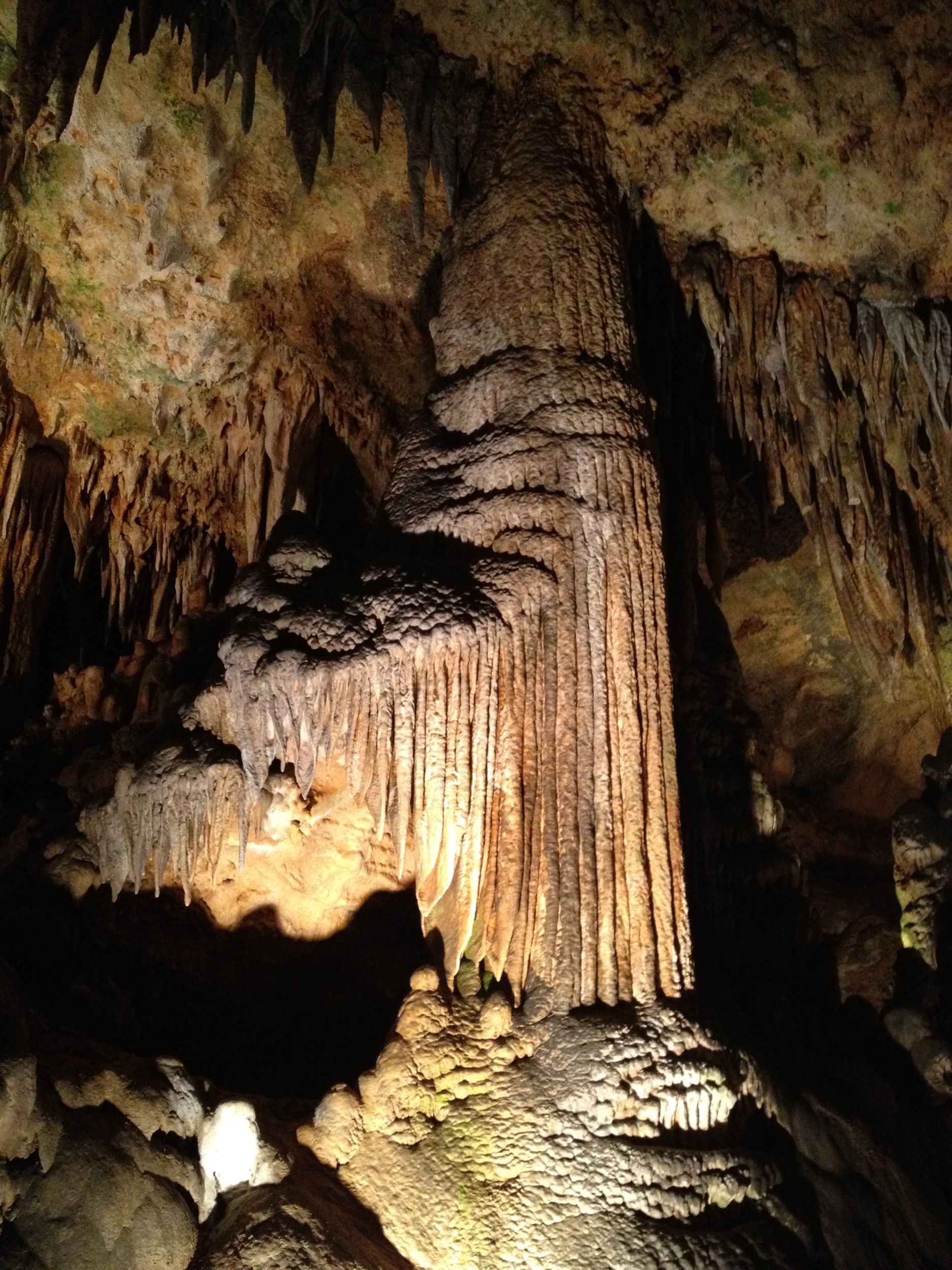
Luray Cavern
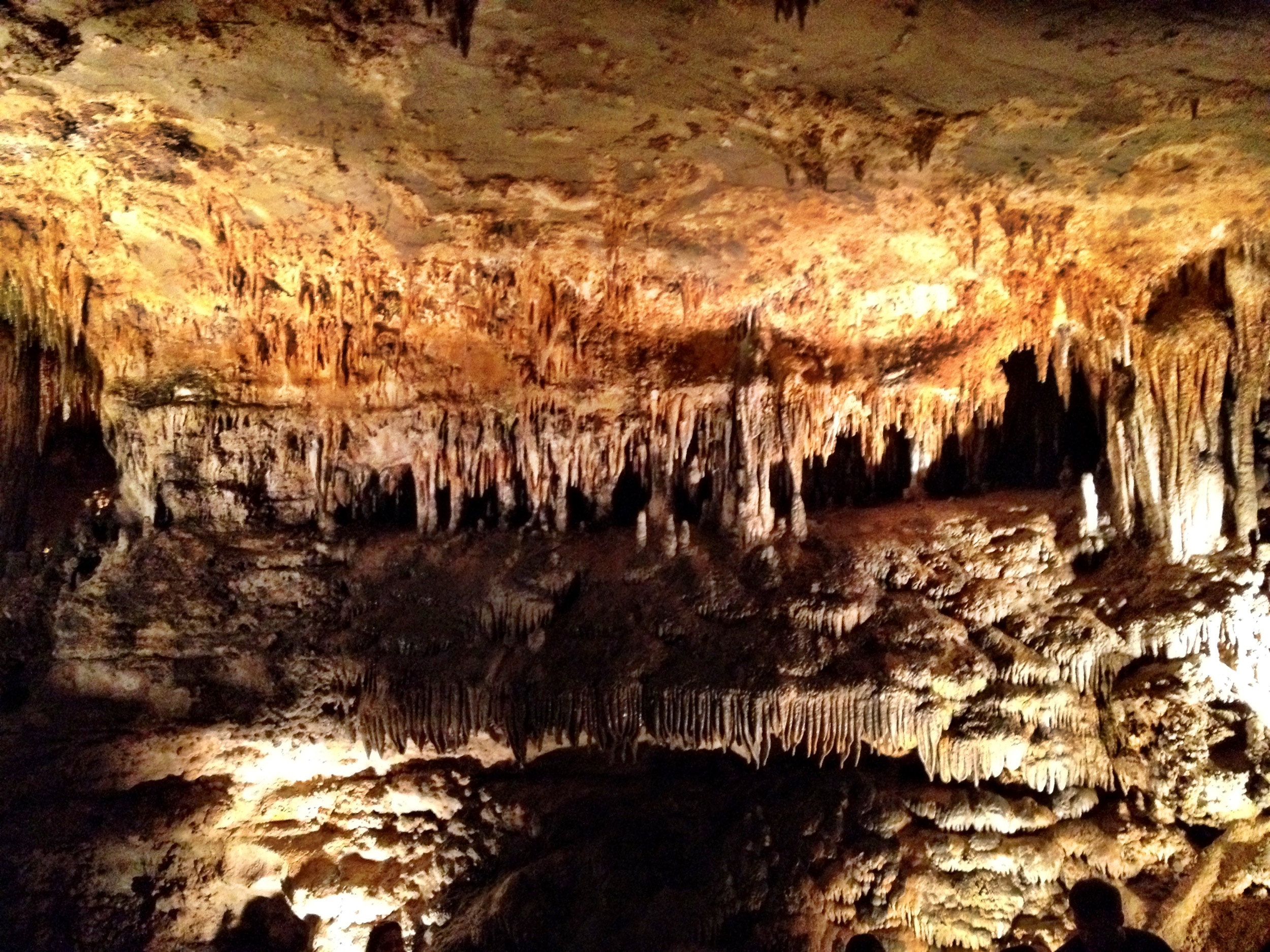
Luray Caverns

Fauquier County, Va.

Fauquier County, Va.
Topographic Map of Leeds Manor Rd, Marshall, VA, USA
Find elevation by address:

Places near Leeds Manor Rd, Marshall, VA, USA:
10292 Cliff Mills Rd
Wesley Chapel Rd, Marshall, VA, USA
6844 Leeds Manor Rd
Conde Rd, Marshall, VA, USA
6517 Wincewood Dr
1225 Mary Brit Ln
Kristin Ln, Amissville, VA, USA
1022 Shetley Rd
1022 Shetley Rd
Rollins Ford Road
280 Hinson Ford Rd
1474 Freeman Dr
Waterloo Bridge
Victor Drive
9626 Sherburne Farm Rd
9696 Sherburne Farm Rd
State Route 645
Deerfield Lane
60 Random Hills Ln
Crest Hill Rd, Hume, VA, USA
Recent Searches:
- Elevation of Norfolk, NY, USA
- Elevation of - San Marcos Pass Rd, Santa Barbara, CA, USA
- Elevation of th Pl SE, Issaquah, WA, USA
- Elevation of 82- D Rd, Captain Cook, HI, USA
- Elevation of Harlow CM20 2PR, UK
- Elevation of Shenyang Agricultural University, Dong Ling Lu, Shen He Qu, Shen Yang Shi, Liao Ning Sheng, China
- Elevation of Alpha Dr, Melbourne, FL, USA
- Elevation of Hiroshima University, 1-chōme-3-2 Kagamiyama, Higashihiroshima, Hiroshima -, Japan
- Elevation of Bernina Dr, Lake Arrowhead, CA, USA
- Elevation of N 82nd Pl, Mesa, AZ, USA