Elevation of 5 Chome-6-48 Hiroshiratake, Kure-shi, Hiroshima-ken -, Japan
Location: Japan > Hiroshima Prefecture > Kure >
Longitude: 132.637346
Latitude: 34.2237142
Elevation: 5m / 16feet
Barometric Pressure: 101KPa
Elevation Map:
Satellite Map:
Related Photos:
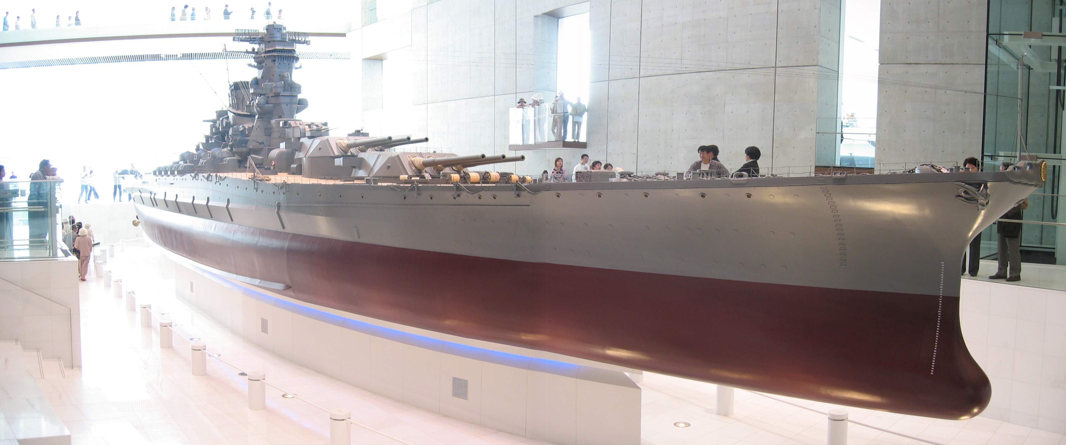
Yamato scale model
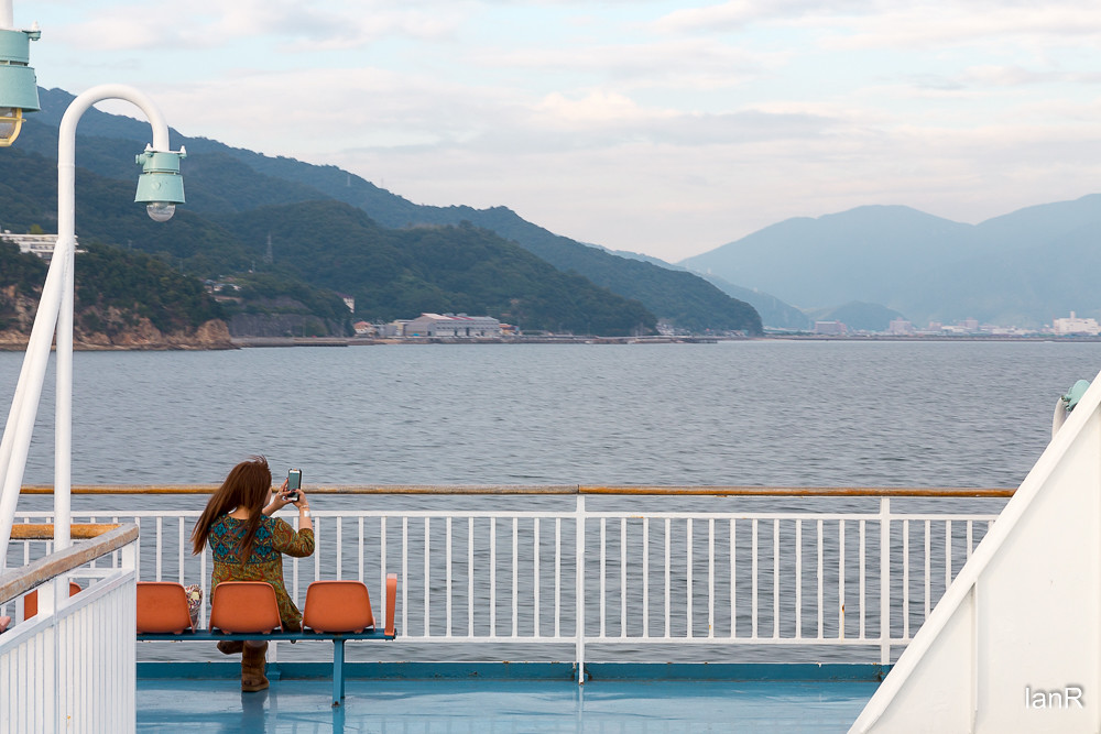
From the ferry

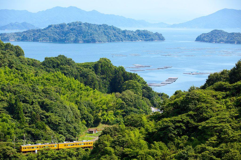
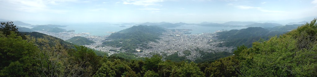
View Over Seto Island Sea

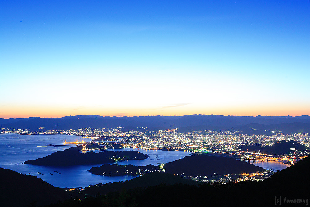
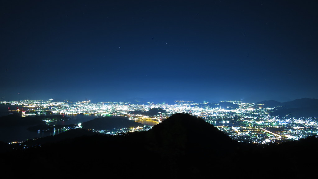
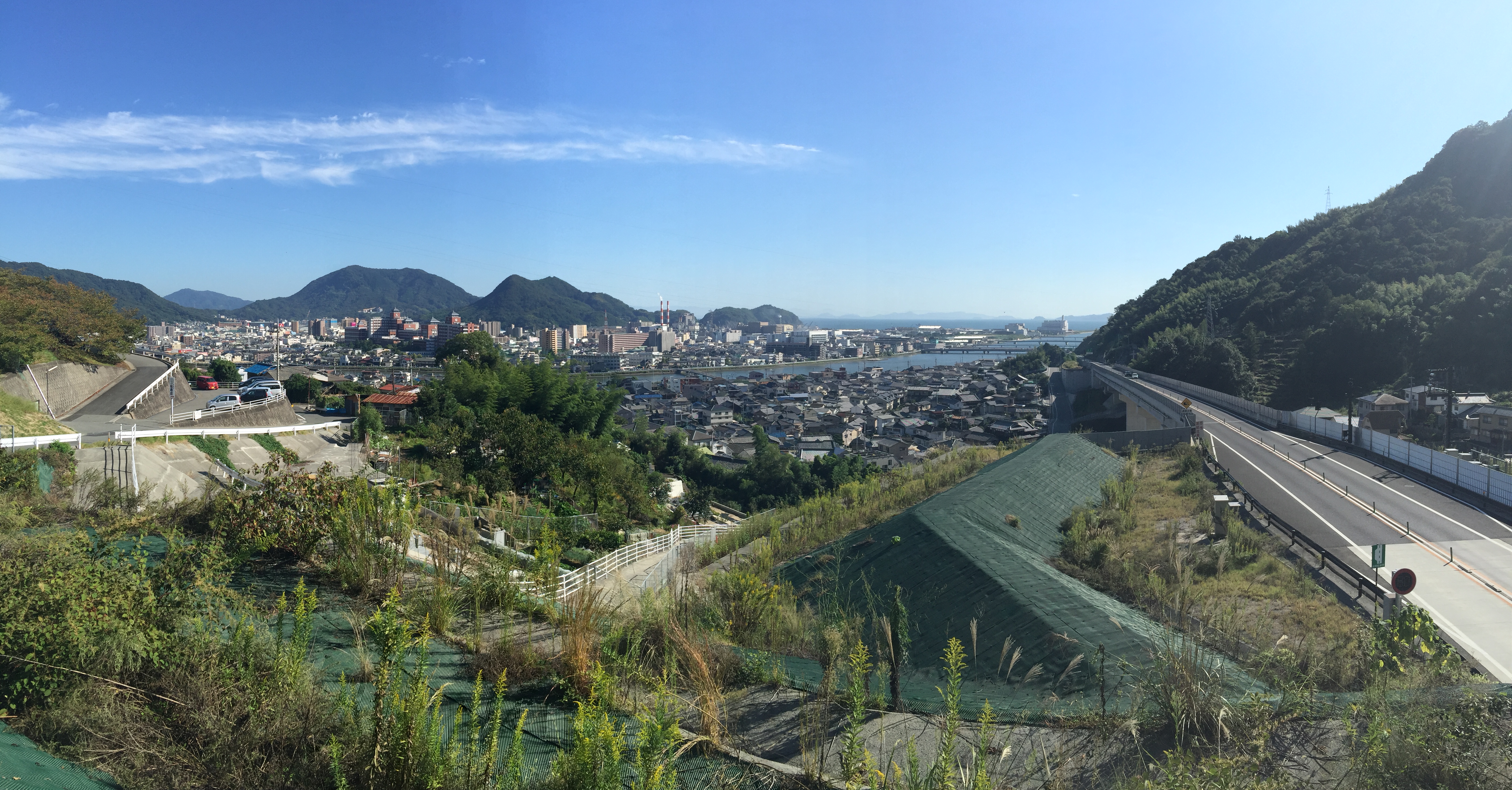
Overlooking Hiroshima City(6-3) 広島市俯瞰(6-3)

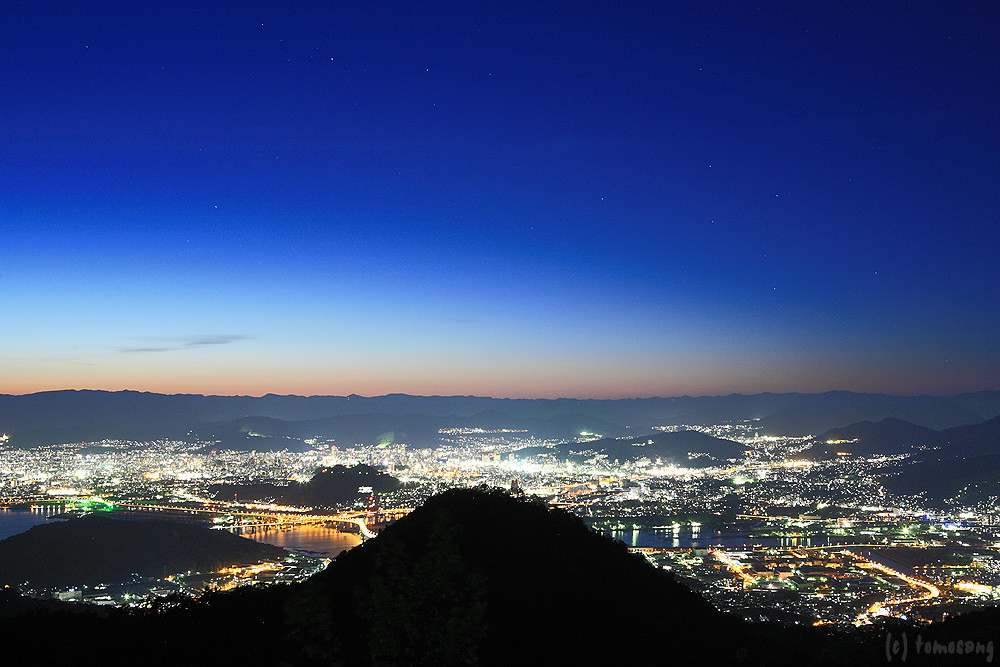
Overlooking Hiroshima City(6-2) 広島市俯瞰(6-2)

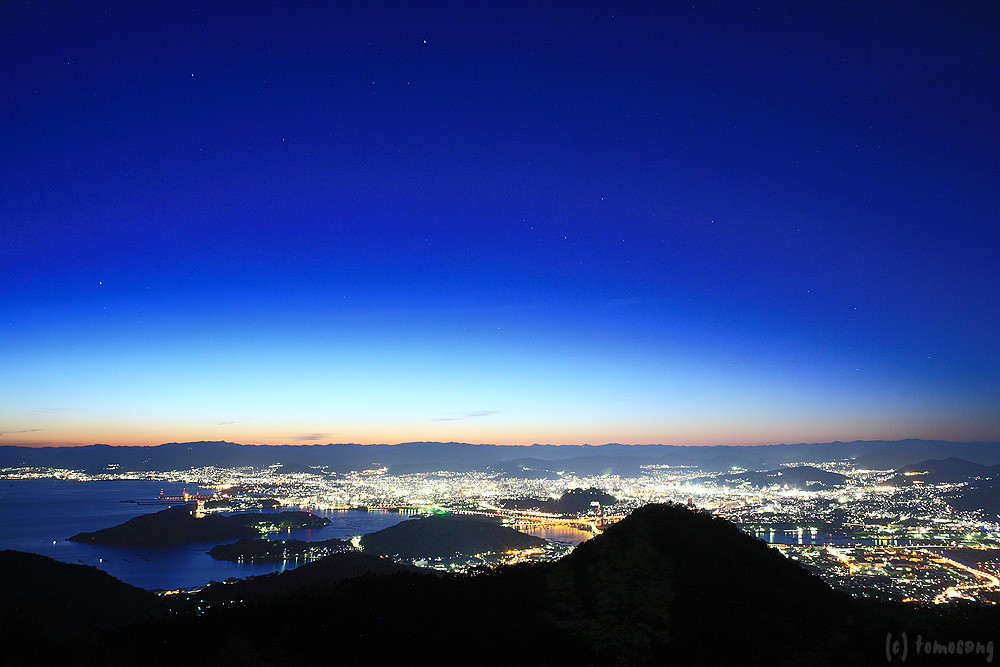
Overlooking Hiroshima City(6-4) 広島市俯瞰(6-4)

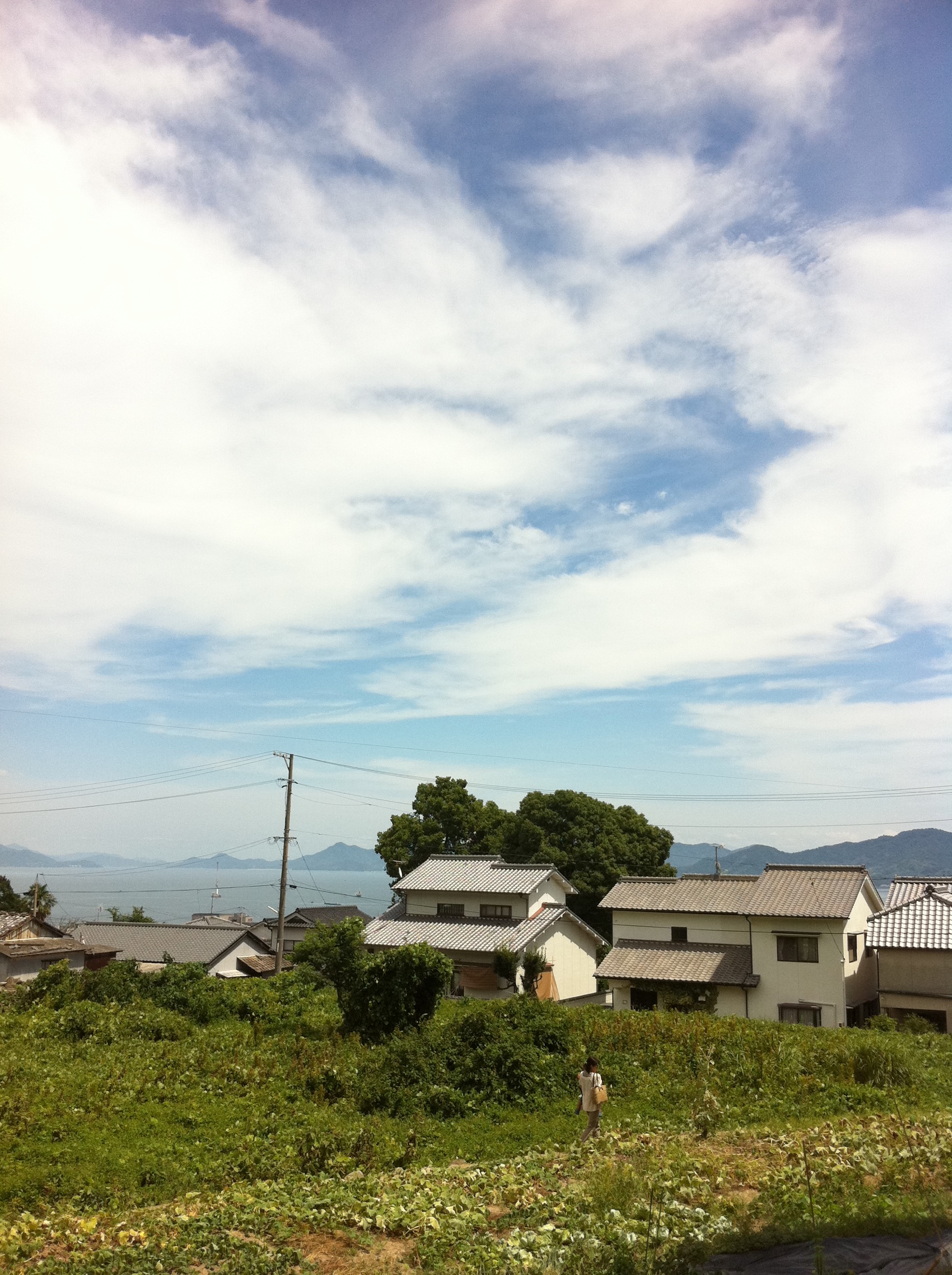
町内風景
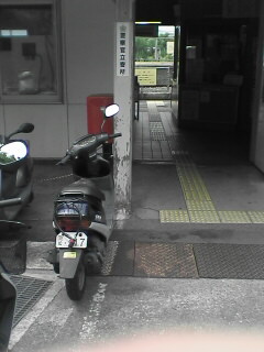
Tennou station
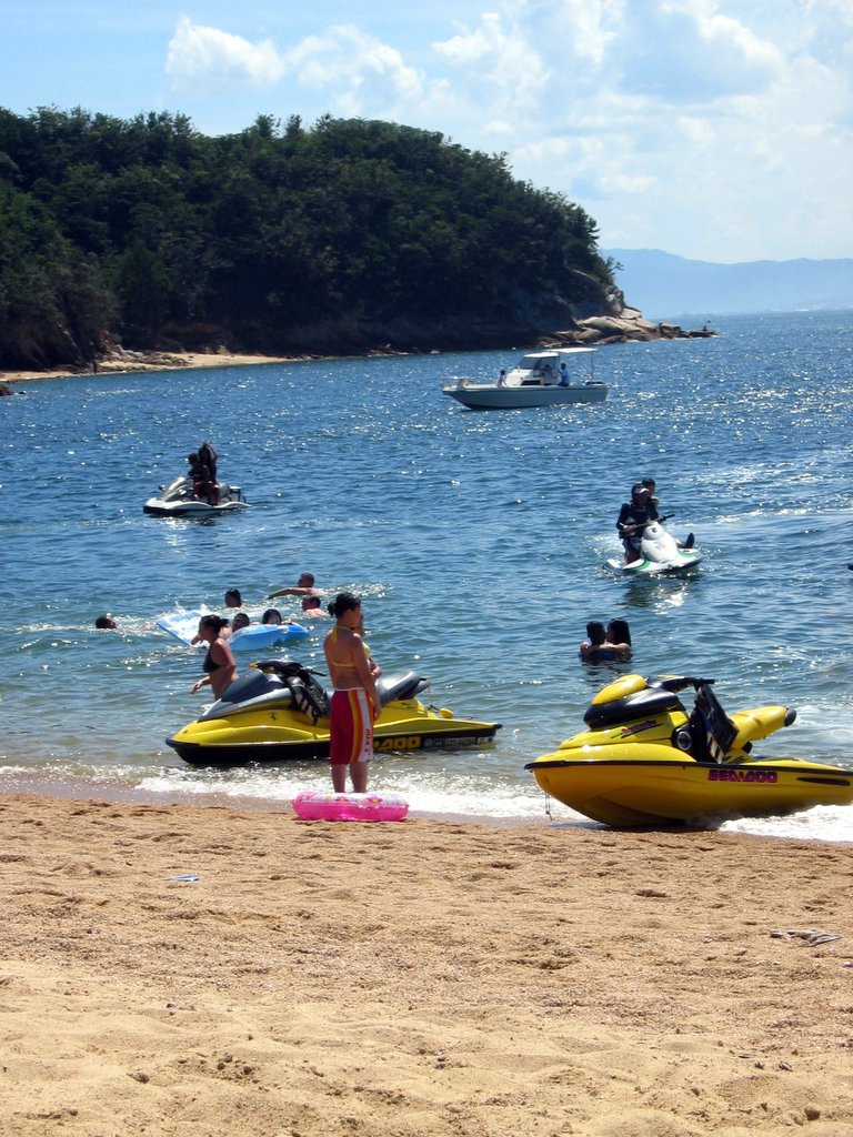
jet skis at Ganne beach

Yukio and the Zero
Seaside Trip
the Peak of Mt. Ege
the Peak of Mt. Ege
the Peak of Mt. Ege
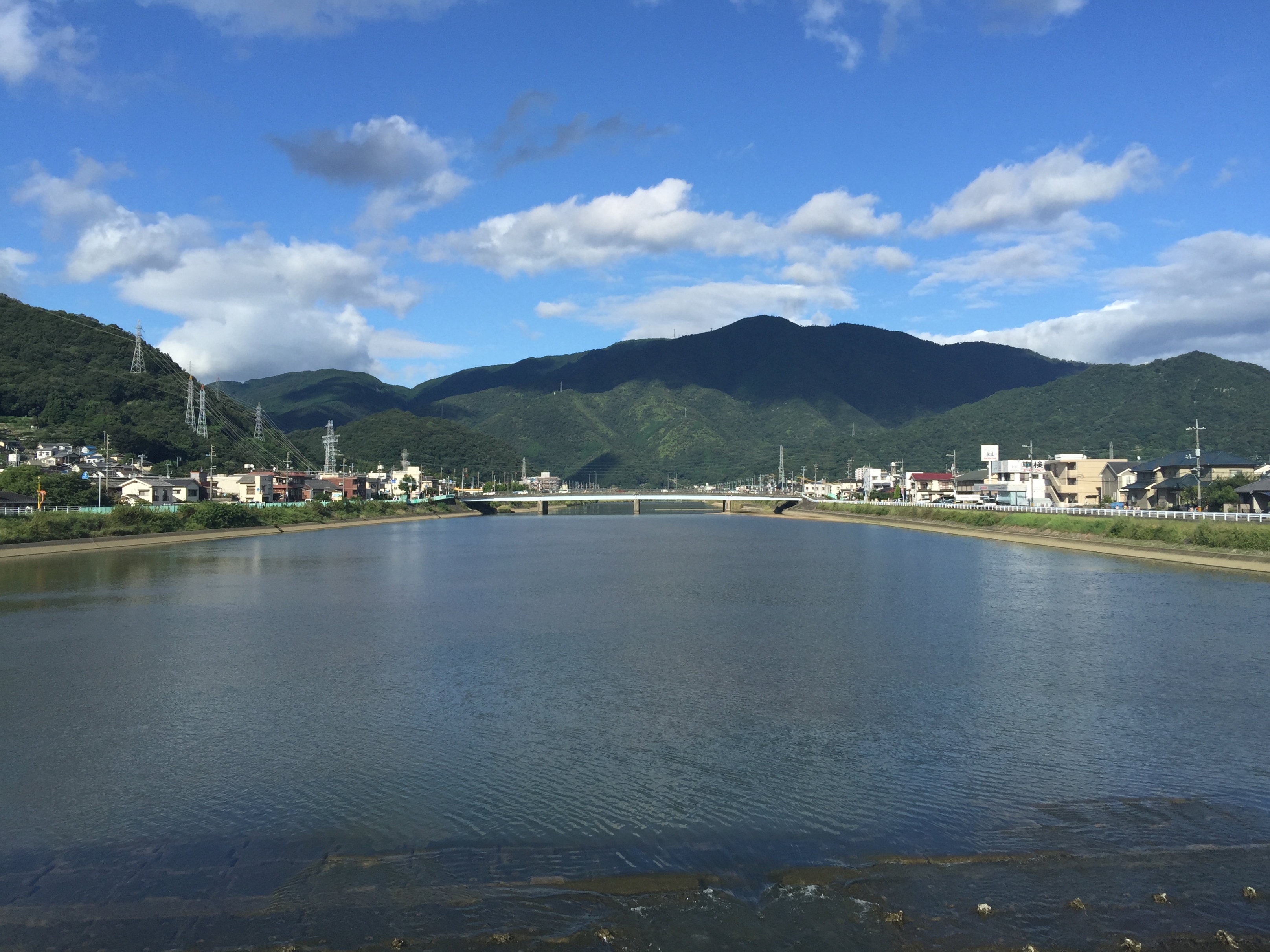
黒瀬川
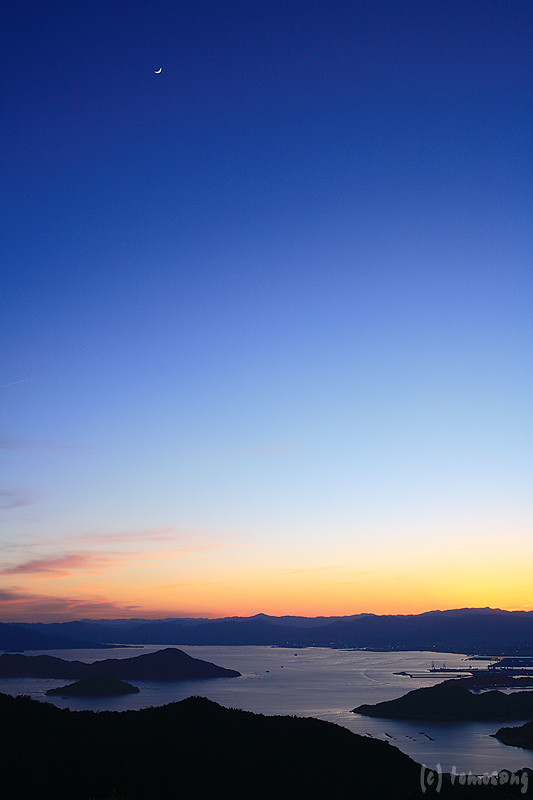
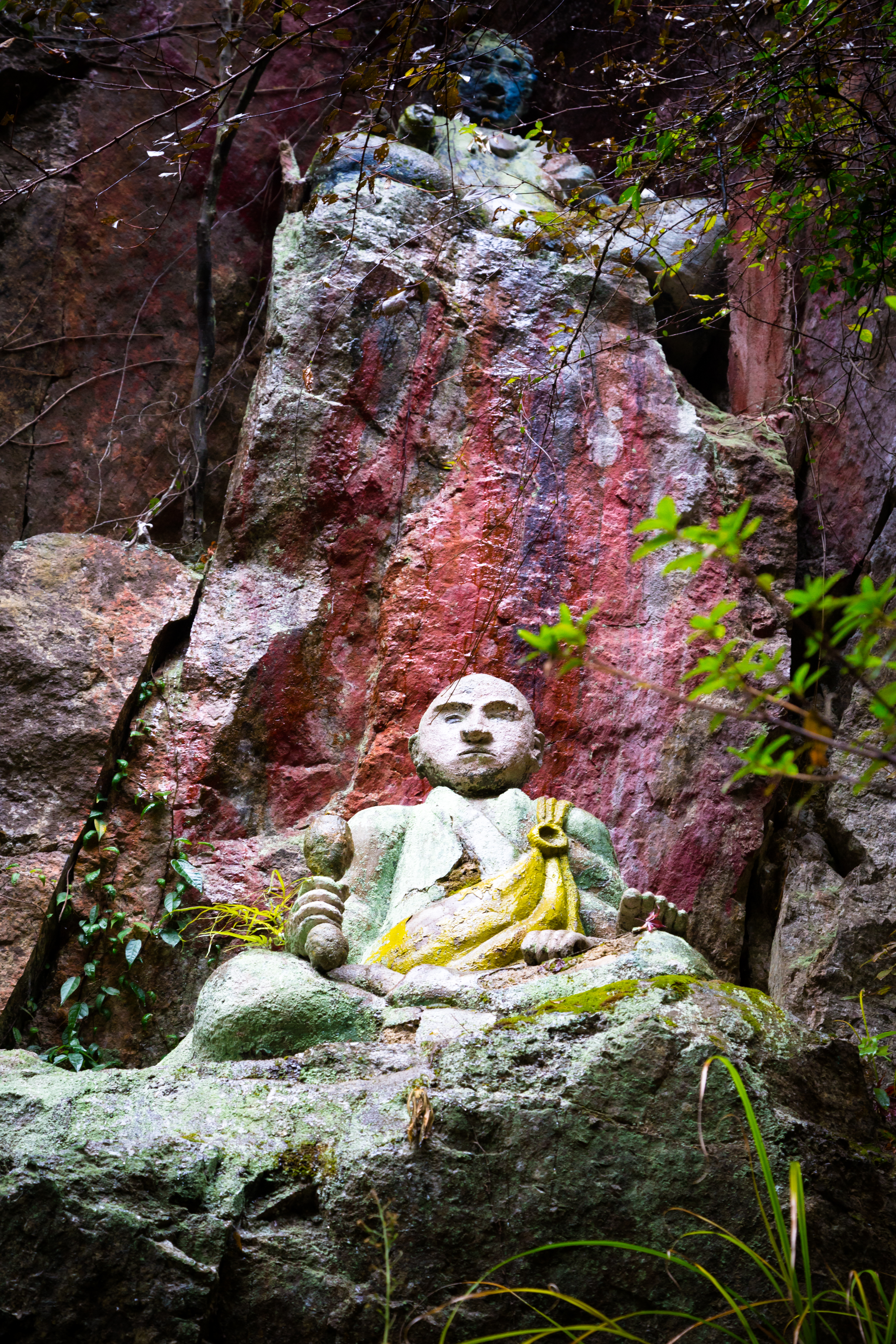
the Peak of Mt. Ege
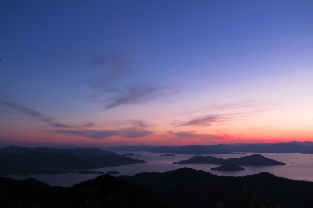
the Peak of Mt. Ege
the Peak of Mt. Ege
パノラマ
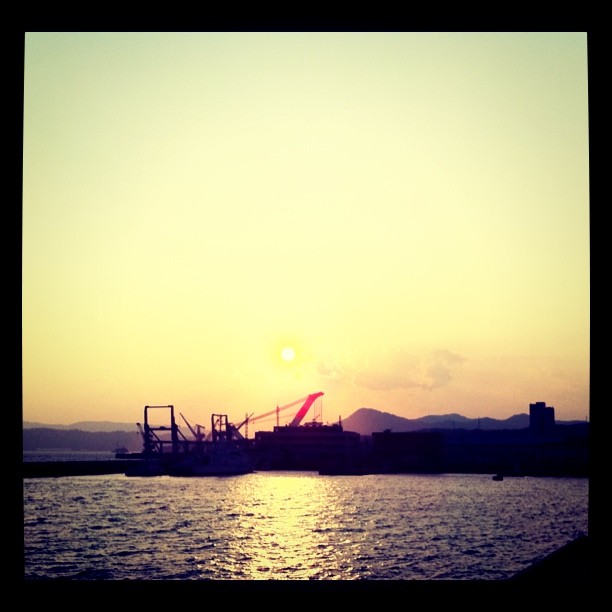
呉の夕陽

From My Window
Mt. Haigamine

IMG_1756.jpg

もうすぐ夜明け♪( ´▽`)
カメラロール-140

今日の広島湾♪( ´▽`)

呉市警固屋4丁目 雁木 船溜
IMG_1662.jpg

2014-11-24_IMGP1215.jpg
Topographic Map of 5 Chome-6-48 Hiroshiratake, Kure-shi, Hiroshima-ken -, Japan
Find elevation by address:

Places near 5 Chome-6-48 Hiroshiratake, Kure-shi, Hiroshima-ken -, Japan:
Shimokamagarichō Shimojima, Kure-shi, Hiroshima-ken -, Japan
5 Chome-16-10 Agaminami, Kure-shi, Hiroshima-ken -, Japan
7 Chome-6-23 Agaminami, Kure-shi, Hiroshima-ken -, Japan
8 Chome-30-19 Agaminami, Kure-shi, Hiroshima-ken -, Japan
8-6 Murosechō, Kure-shi, Hiroshima-ken -, Japan
9 Chome-9-37 Agaminami, Kure-shi, Hiroshima-ken -, Japan
Kure
9 Chome-7-47 Kegoya, Kure-shi, Hiroshima-ken -, Japan
Kamagarichō Tado, Kure-shi, Hiroshima-ken -, Japan
5 Chome-6-9 Matoba, Kure-shi, Hiroshima-ken -, Japan
6 Chome-20-1 Ondochō Hatami, Kure-shi, Hiroshima-ken -, Japan
1 Chome-23-5 Ondochō Hatami, Kure-shi, Hiroshima-ken -, Japan
1333 Kurosechō Maruyama
東広島市黒瀬支所本庁舎
10 Chome-16-19 Ondochō Hatami, Kure-shi, Hiroshima-ken -, Japan
Kumano
2 Chome-3-9 Ondochōhata, Kure-shi, Hiroshima-ken -, Japan
2 Chome-47-2 Ondochō Tonoko, Kure-shi, Hiroshima-ken -, Japan
8 Chome-8-29 Hagiwara, Kumano-chō, Aki-gun, Hiroshima-ken -, Japan
1 Chome-23-15 Ondochō Arikiyo, Kure-shi, Hiroshima-ken -, Japan
Recent Searches:
- Elevation of Kambingan Sa Pansol Atbp., Purok 7 Pansol, Candaba, Pampanga, Philippines
- Elevation of Pinewood Dr, New Bern, NC, USA
- Elevation of Mountain View, CA, USA
- Elevation of Foligno, Province of Perugia, Italy
- Elevation of Blauwestad, Netherlands
- Elevation of Bella Terra Blvd, Estero, FL, USA
- Elevation of Estates Loop, Priest River, ID, USA
- Elevation of Woodland Oak Pl, Thousand Oaks, CA, USA
- Elevation of Brownsdale Rd, Renfrew, PA, USA
- Elevation of Corcoran Ln, Suffolk, VA, USA