Elevation of Japan, 〒- Hiroshima-ken, Higashihiroshima-shi, Kurosechō Maruyama, 東広島市黒瀬支所本庁舎
Location: Japan > Hiroshima Prefecture > Higashihiroshima > 1333 Kurosechō Maruyama >
Longitude: 132.676173
Latitude: 34.3247179
Elevation: 167m / 548feet
Barometric Pressure: 99KPa
Elevation Map:
Satellite Map:
Related Photos:
View of Japan by Shinkansen

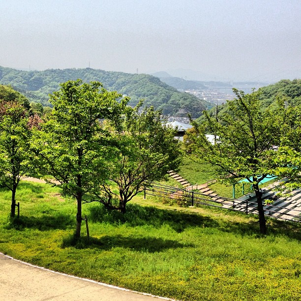
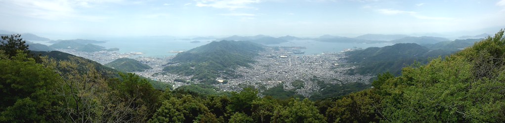
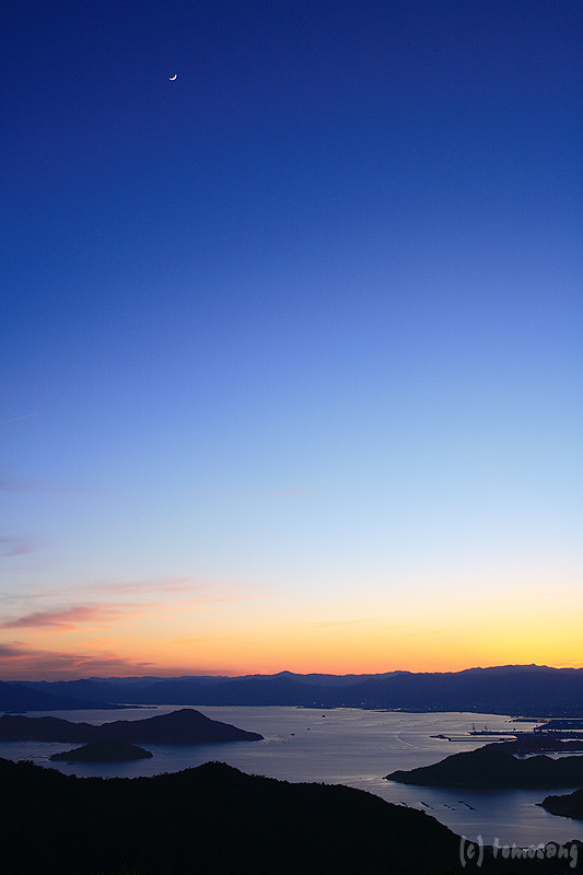
View Over Seto Island Sea

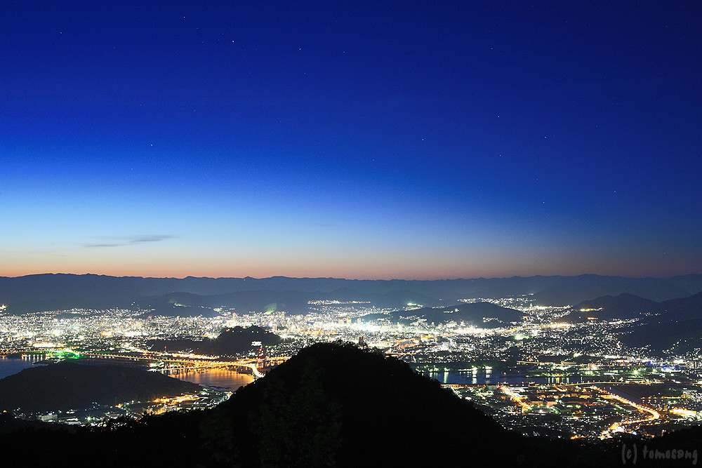
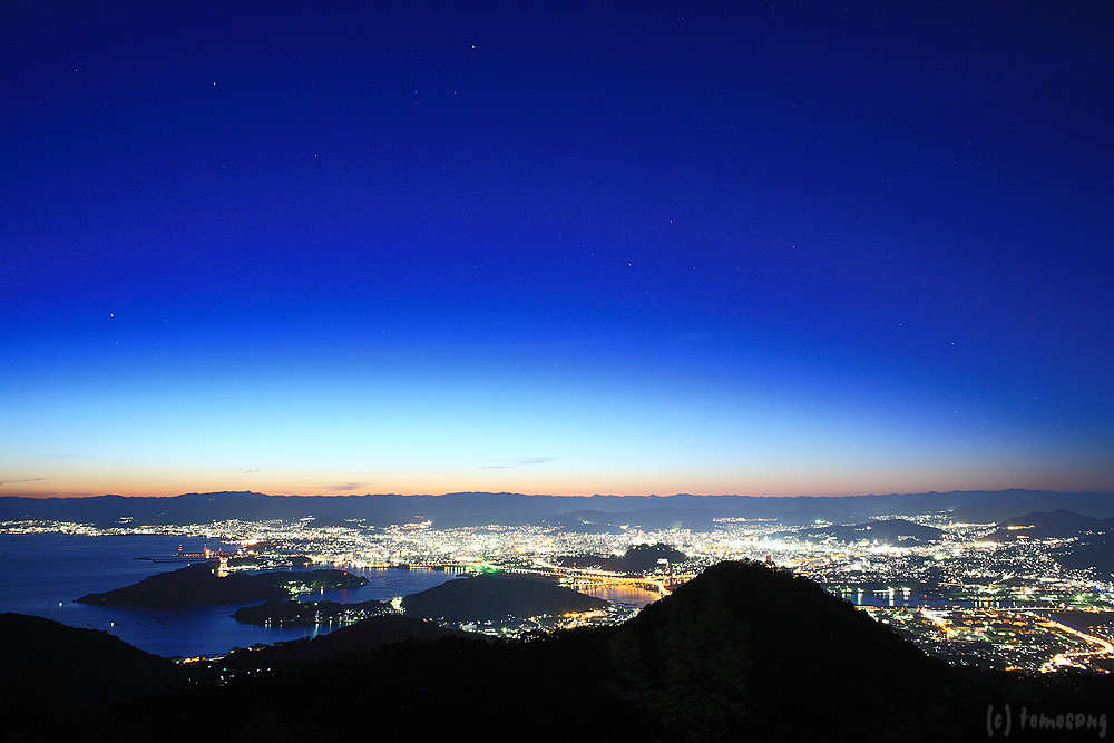
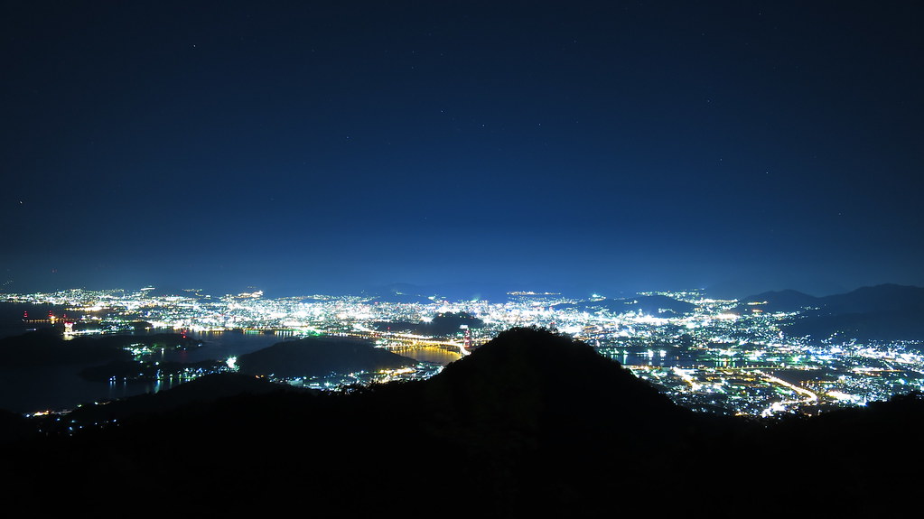
Overlooking Hiroshima City(6-3) 広島市俯瞰(6-3)

Overlooking Hiroshima City(6-2) 広島市俯瞰(6-2)

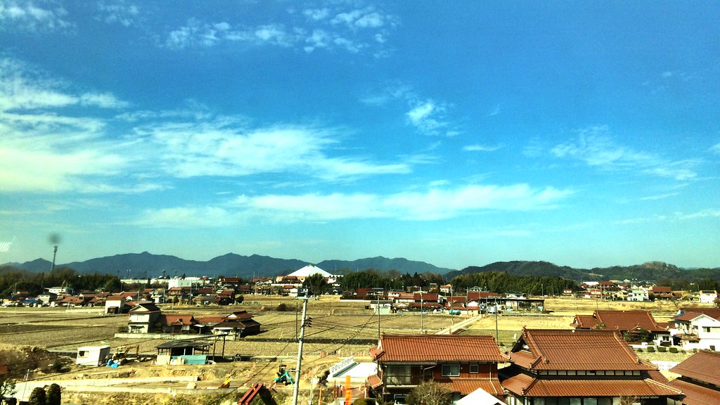
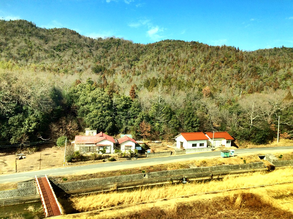
View of Japan by train
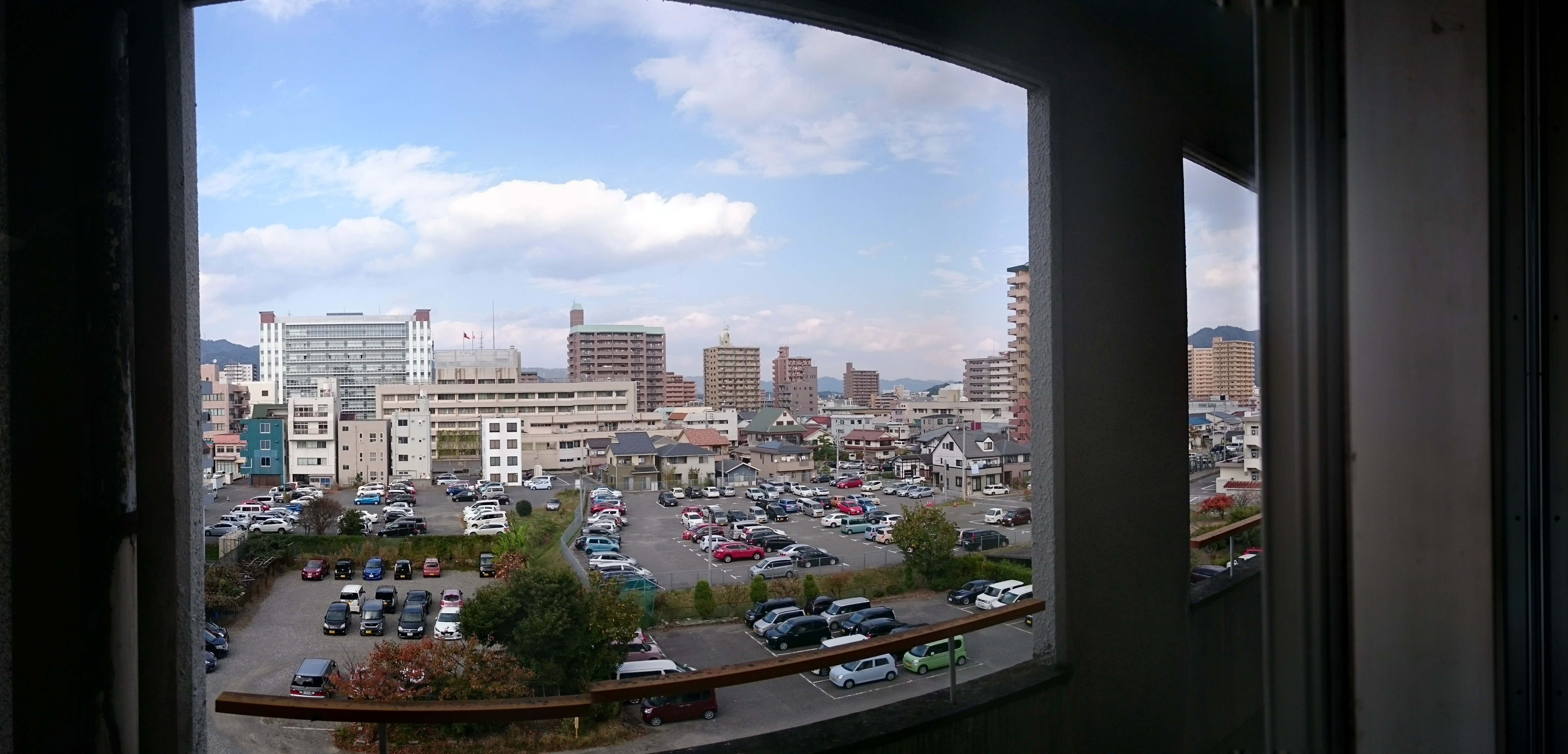
view from my window

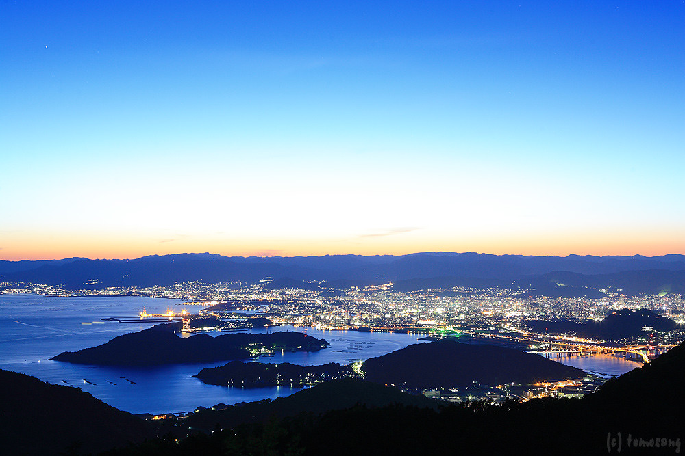
Overlooking Hiroshima City(6-4) 広島市俯瞰(6-4)
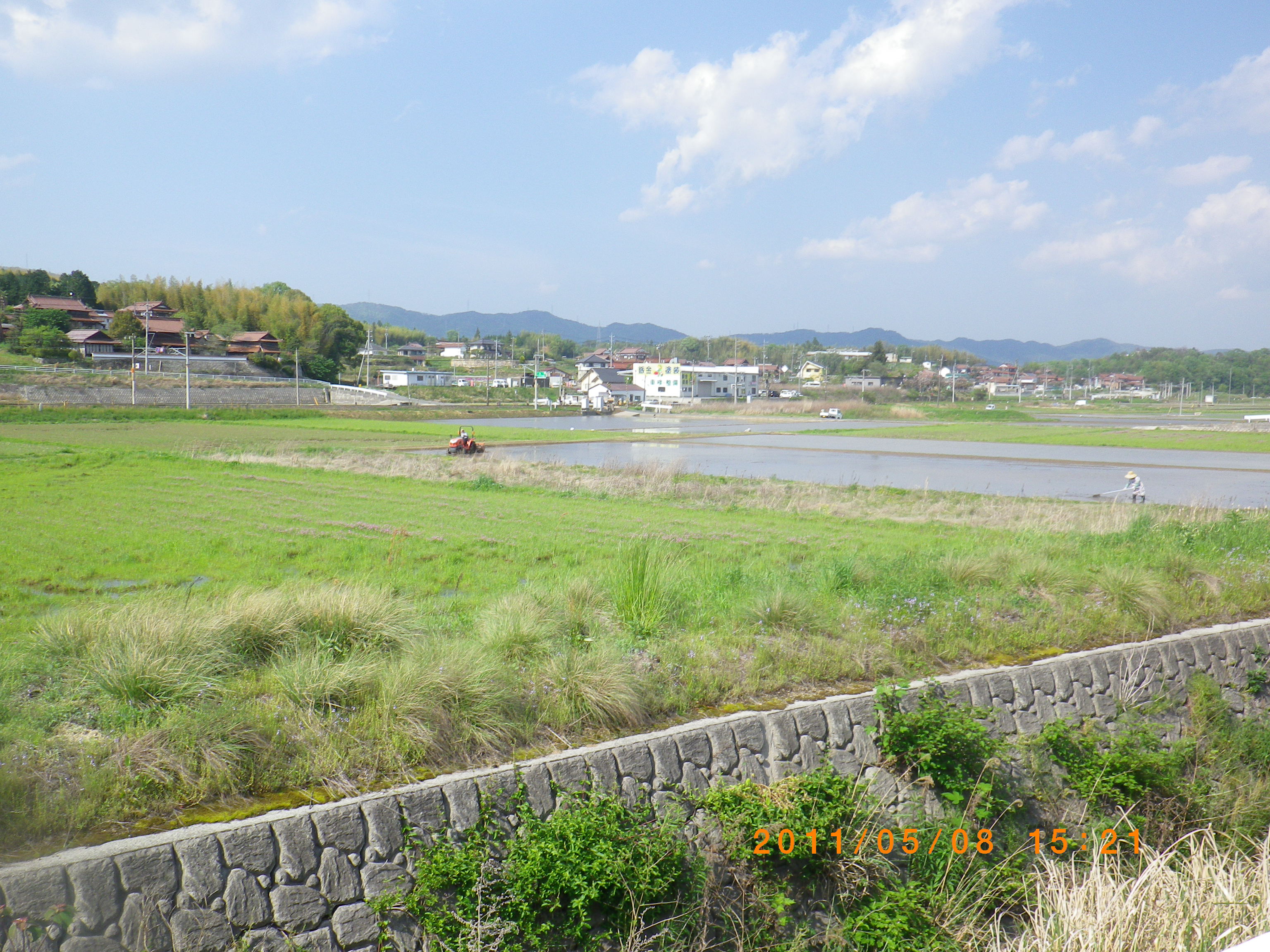
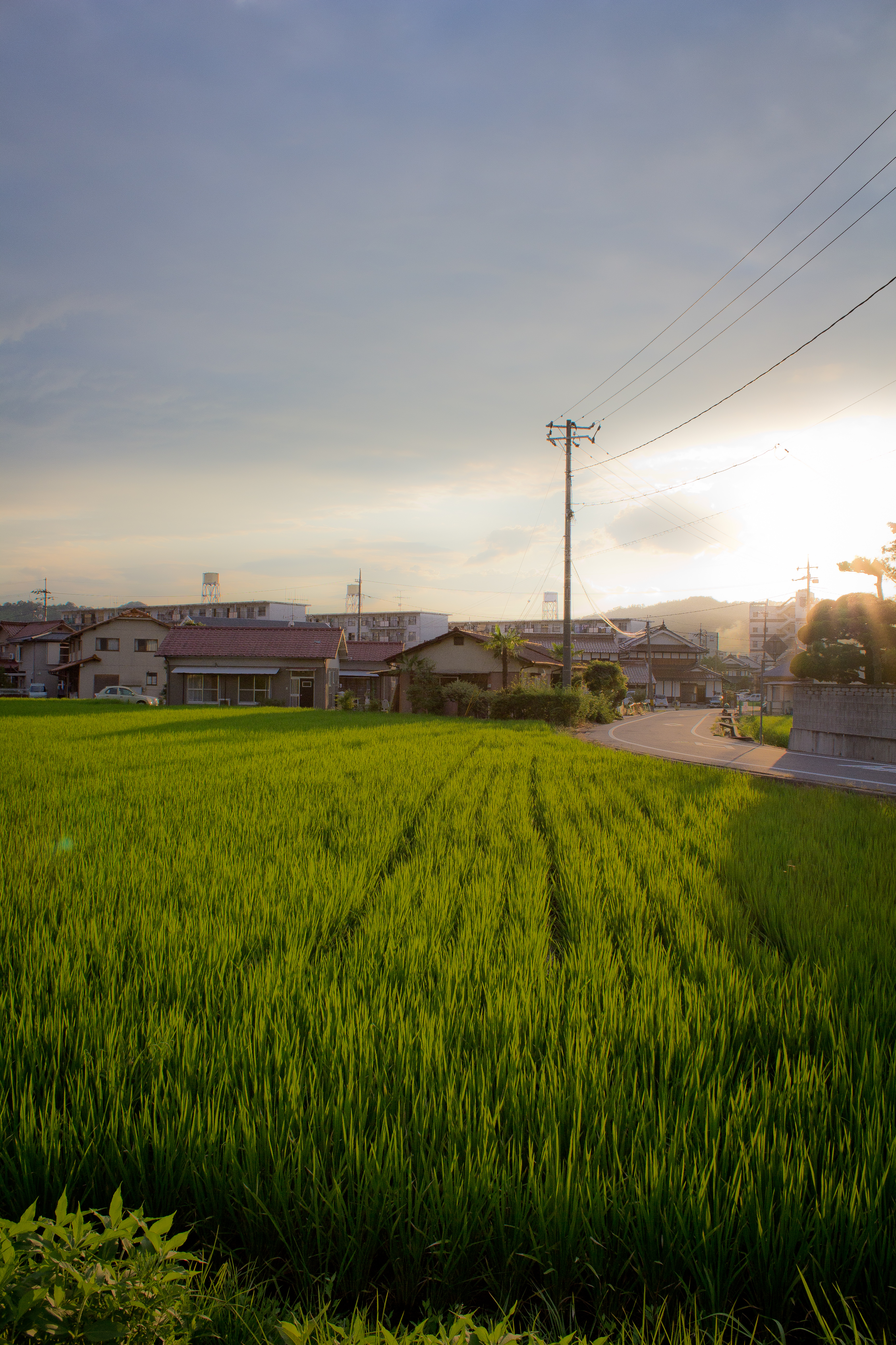
Rice planting
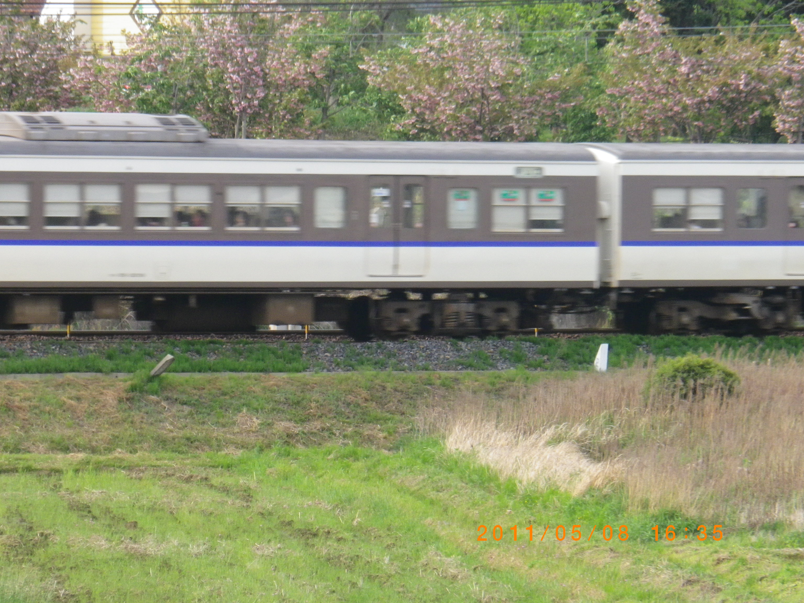
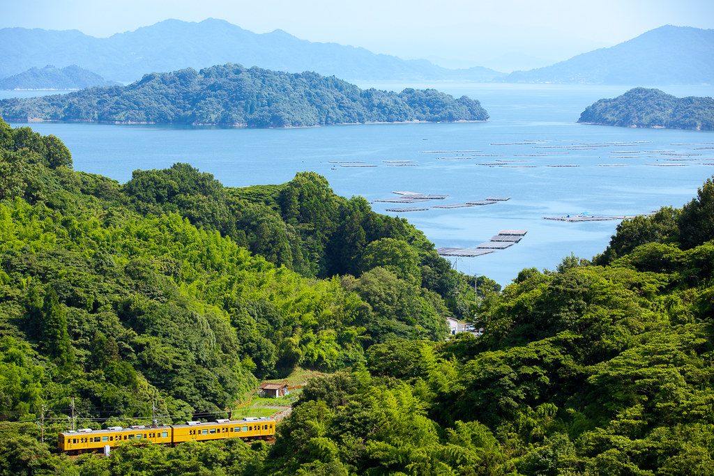
Train passing through the fields

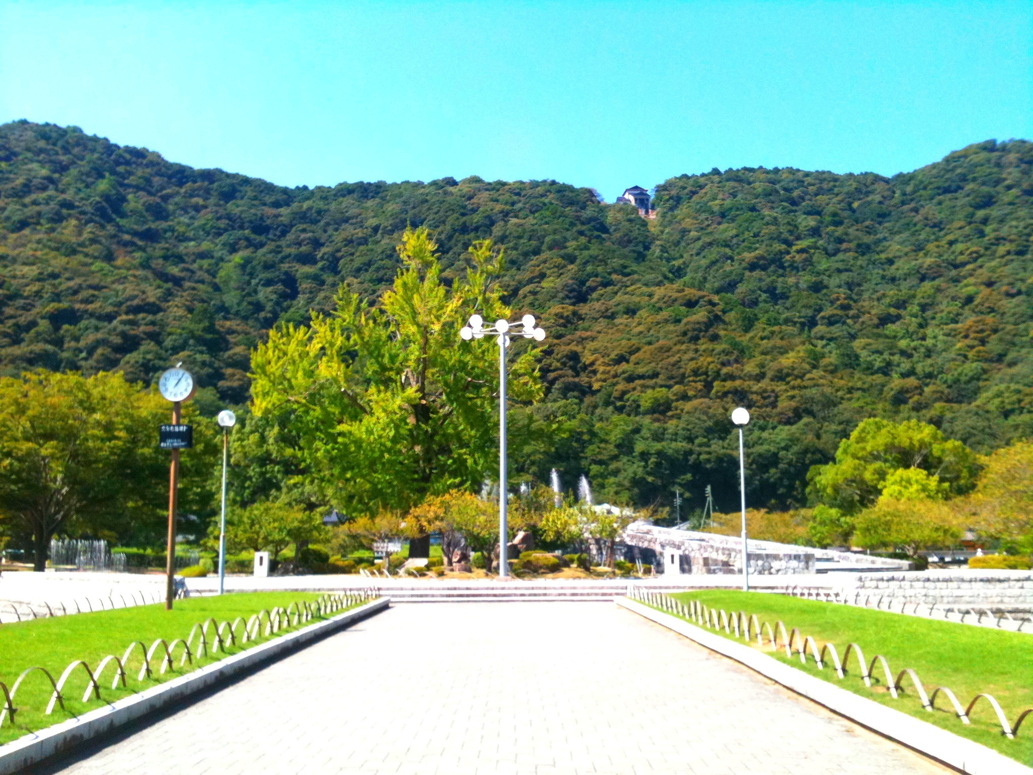
町内風景
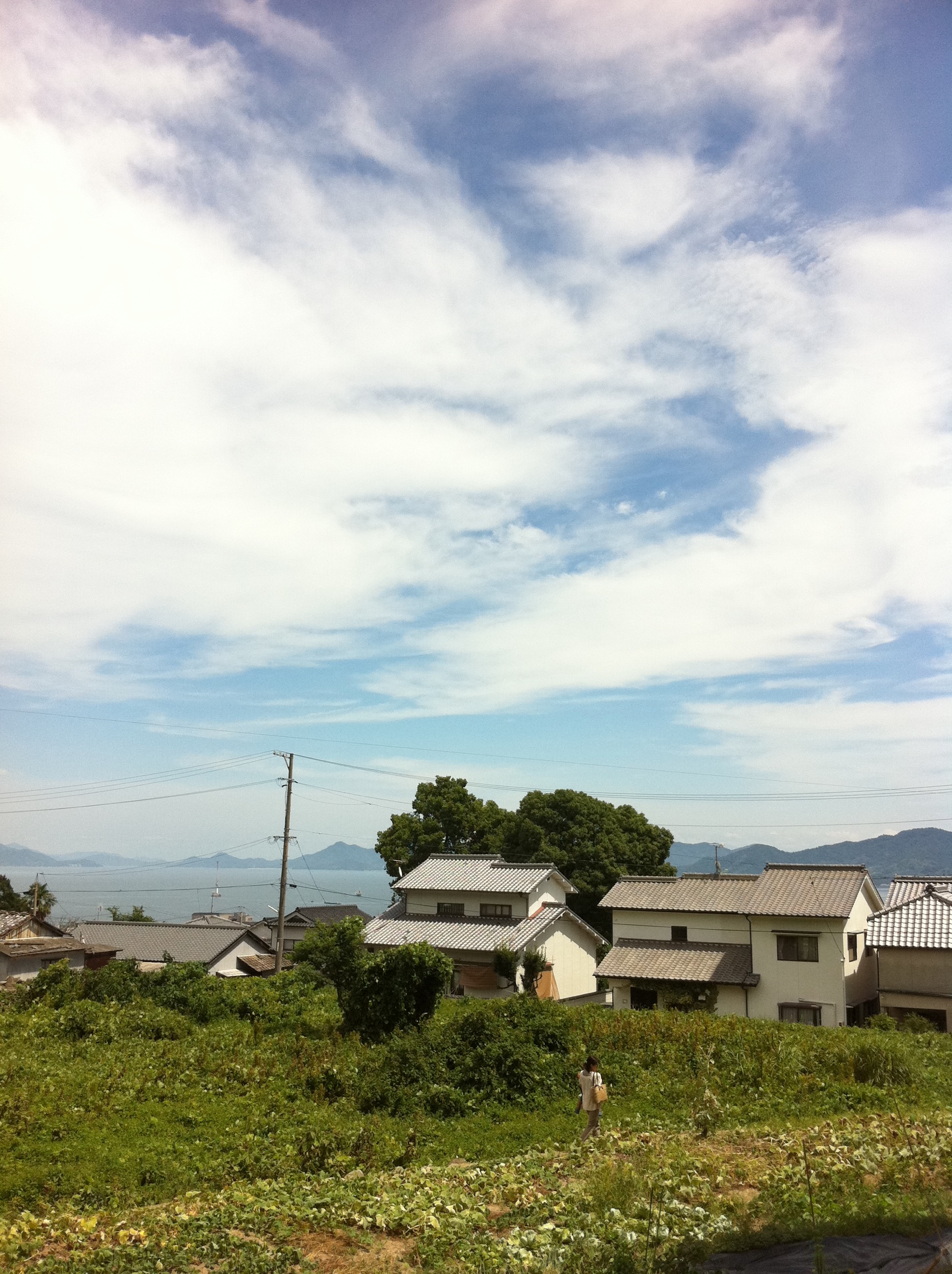
Kaita park- view of the Seto-Naikai
Tennou station

Yukio and the Zero
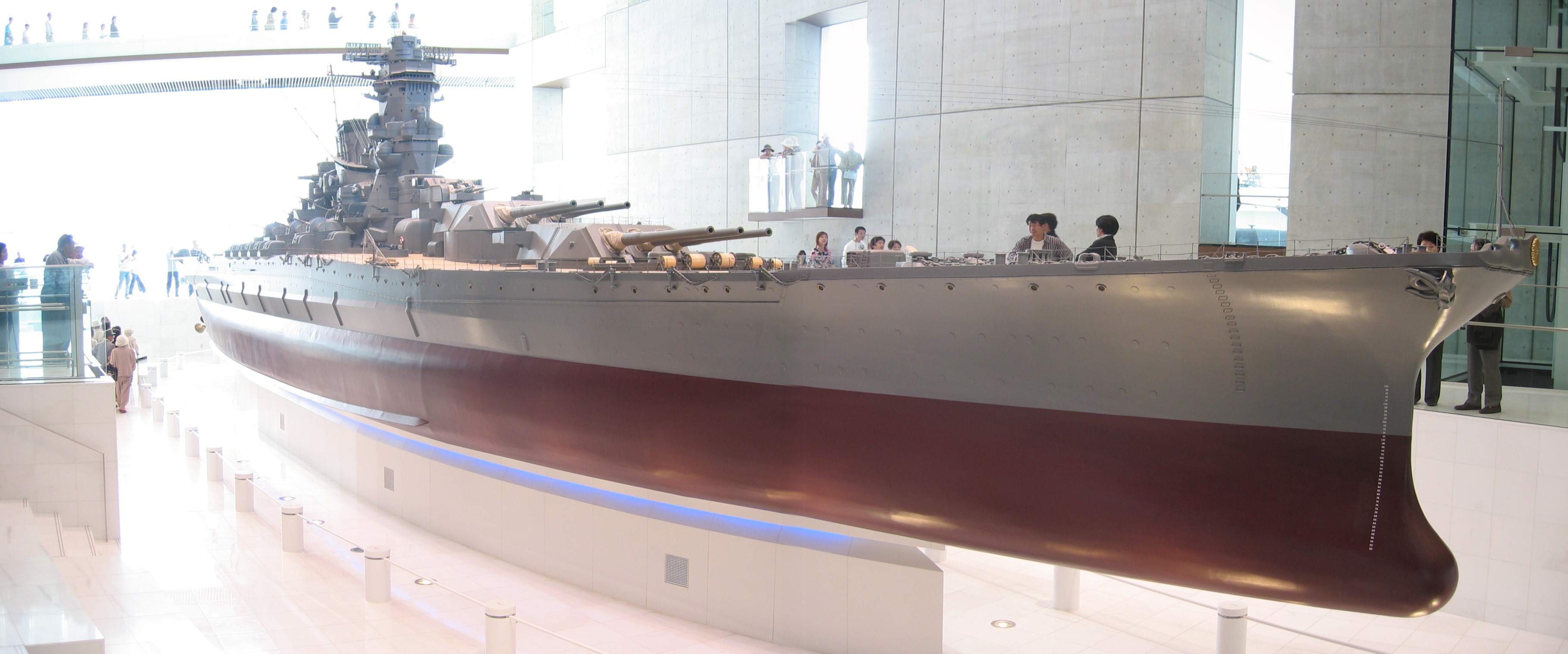
Yamato scale model
Seaside Trip
the Peak of Mt. Ege
Mt. Haigamine
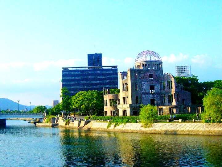
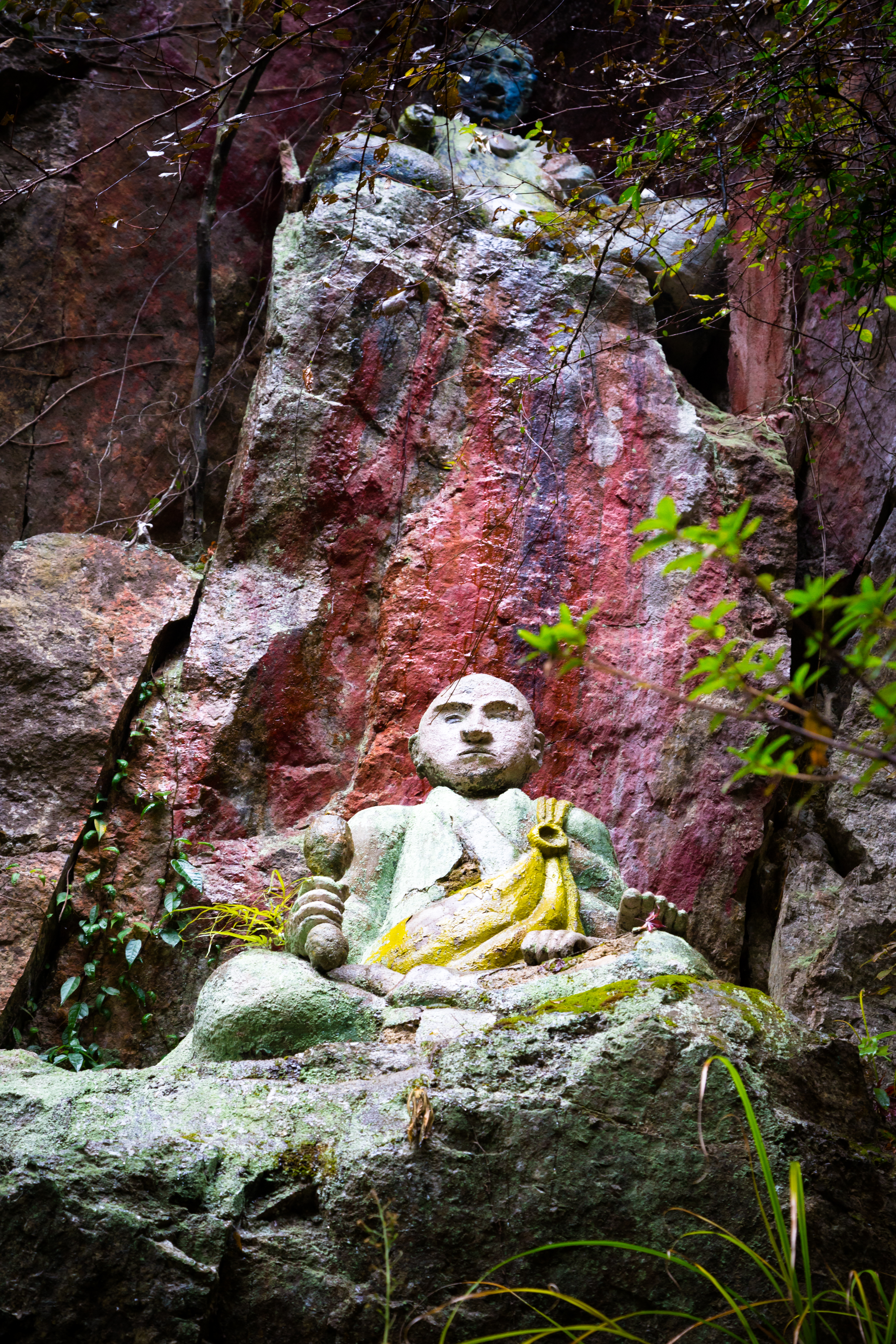
Bomb Dome

もうすぐ夜明け♪( ´▽`)
the Peak of Mt. Ege
Kikko Park, Iwakuni, Japan
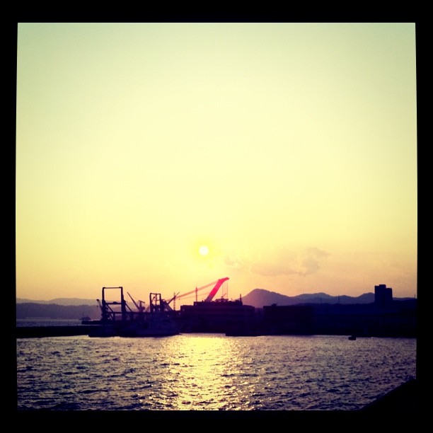
呉の夕陽

From My Window
IMG_1756.jpg
カメラロール-140
IMG_1662.jpg
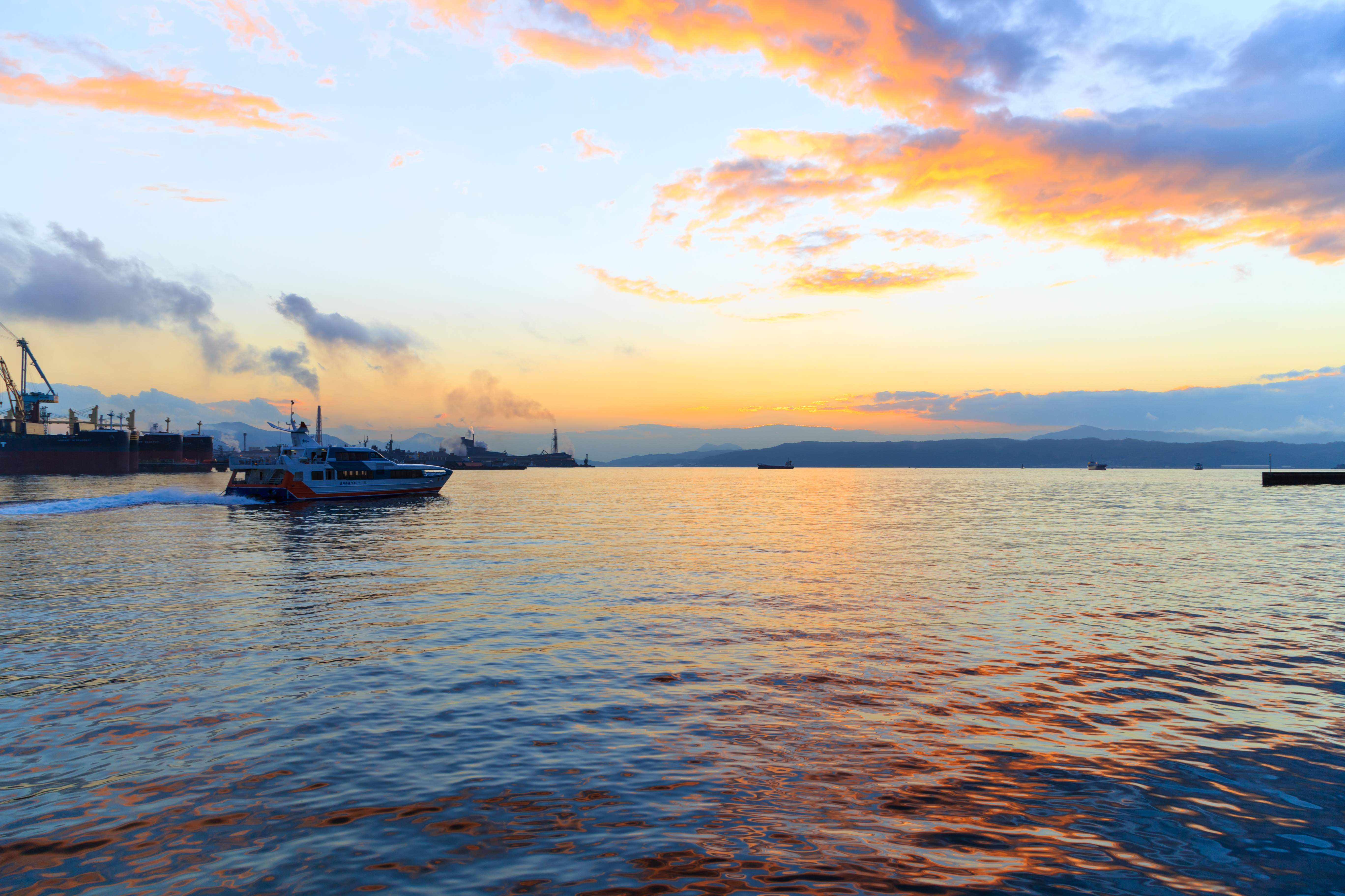
Sunset in Saijo

2014-11-24_IMGP1215.jpg
the Peak of Mt. Ege
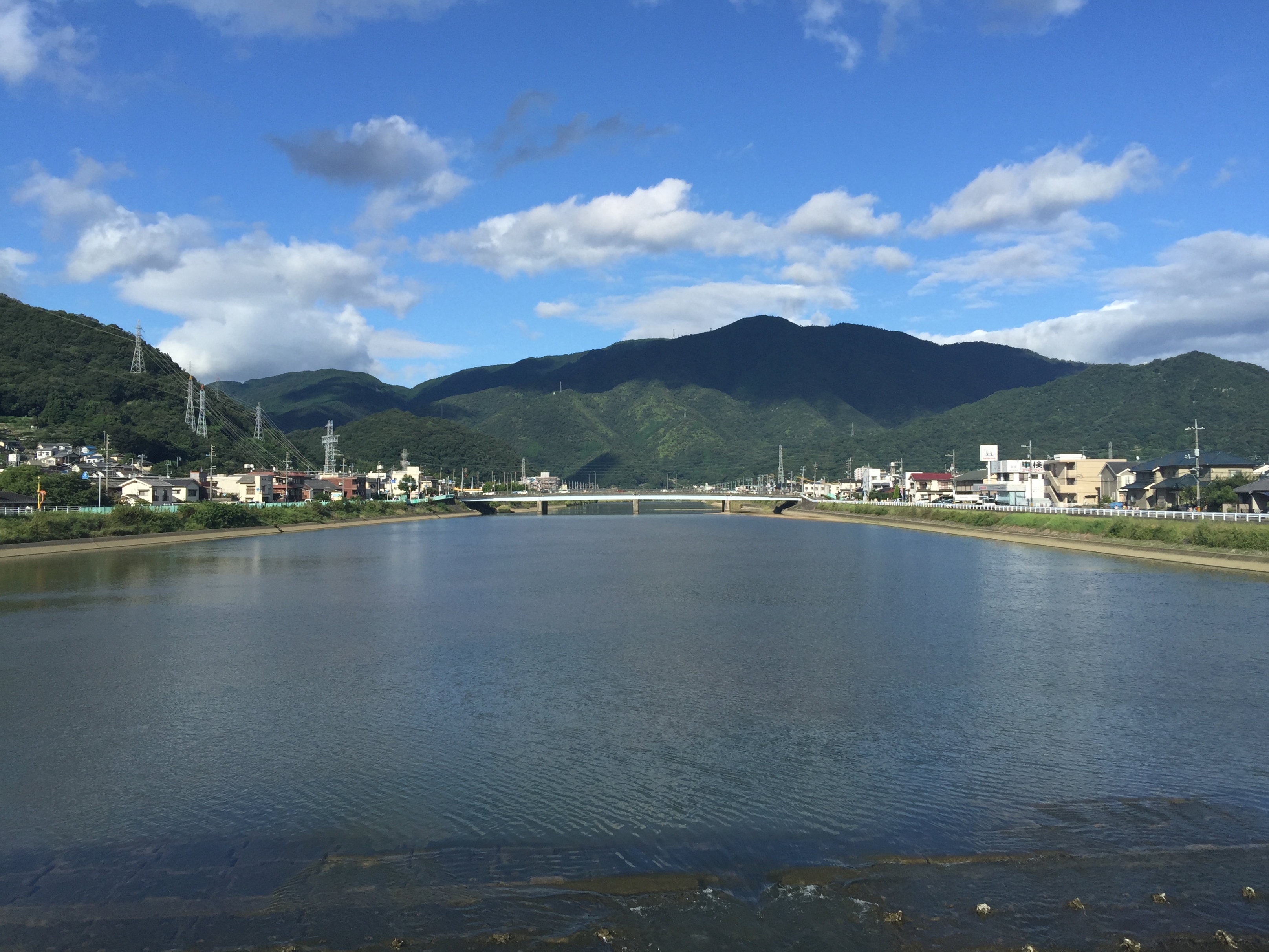
黒瀬川
Shinkansen train ride back to Tokyo
the Peak of Mt. Ege
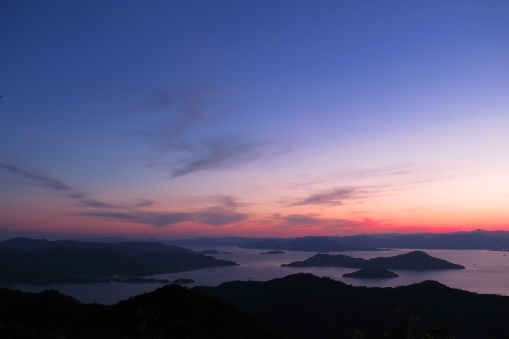
the Peak of Mt. Ege
the Peak of Mt. Ege
Topographic Map of Japan, 〒- Hiroshima-ken, Higashihiroshima-shi, Kurosechō Maruyama, 東広島市黒瀬支所本庁舎
Find elevation by address:

Places near Japan, 〒- Hiroshima-ken, Higashihiroshima-shi, Kurosechō Maruyama, 東広島市黒瀬支所本庁舎:
1333 Kurosechō Maruyama
Saijōchō Taguchi, Higashihiroshima-shi, Hiroshima-ken -, Japan
Hiroshima University
Atochō, Aki-ku, Hiroshima-shi, Hiroshima-ken -, Japan
8 Chome-8-29 Hagiwara, Kumano-chō, Aki-gun, Hiroshima-ken -, Japan
6 Chome-10-3 Saijōshitami, Higashihiroshima-shi, Hiroshima-ken -, Japan
Kumano
Hachihonmatsuchōhara, Higashihiroshima-shi, Hiroshima-ken -, Japan
-11 Saijōchō Shimominaga, Higashihiroshima-shi, Hiroshima-ken -, Japan
Saijōchō Misonou, Higashihiroshima-shi, Hiroshima-ken -, Japan
Saijōchō Jike, Higashihiroshima-shi, Hiroshima-ken -, Japan
6 Chome-50-12-15 Nakanohigashi, Aki-ku, Hiroshima-shi, Hiroshima-ken -, Japan
1 Chome-18-14 Kamiseno, Aki-ku, Hiroshima-shi, Hiroshima-ken -, Japan
Kamisenochō, Aki-ku, Hiroshima-shi, Hiroshima-ken -, Japan
2 Chome-50-5 Nakanohigashi, Aki-ku, Hiroshima-shi, Hiroshima-ken -, Japan
Higashihiroshima
Aki District
5 Chome-4-12 Seno, Aki-ku, Hiroshima-shi, Hiroshima-ken -, Japan
久保田鉄工所
1 Chome-6-1 Nakano
Recent Searches:
- Elevation of Elwyn Dr, Roanoke Rapids, NC, USA
- Elevation of Congressional Dr, Stevensville, MD, USA
- Elevation of Bellview Rd, McLean, VA, USA
- Elevation of Stage Island Rd, Chatham, MA, USA
- Elevation of Shibuya Scramble Crossing, 21 Udagawacho, Shibuya City, Tokyo -, Japan
- Elevation of Jadagoniai, Kaunas District Municipality, Lithuania
- Elevation of Pagonija rock, Kranto 7-oji g. 8"N, Kaunas, Lithuania
- Elevation of Co Rd 87, Jamestown, CO, USA
- Elevation of Tenjo, Cundinamarca, Colombia
- Elevation of Côte-des-Neiges, Montreal, QC H4A 3J6, Canada