Elevation of 8-6 Murosechō, Kure-shi, Hiroshima-ken -, Japan
Location: Japan > Hiroshima Prefecture > Kure >
Longitude: 132.566835
Latitude: 34.2333008
Elevation: 95m / 312feet
Barometric Pressure: 100KPa
Elevation Map:
Satellite Map:
Related Photos:

View from hotel room.
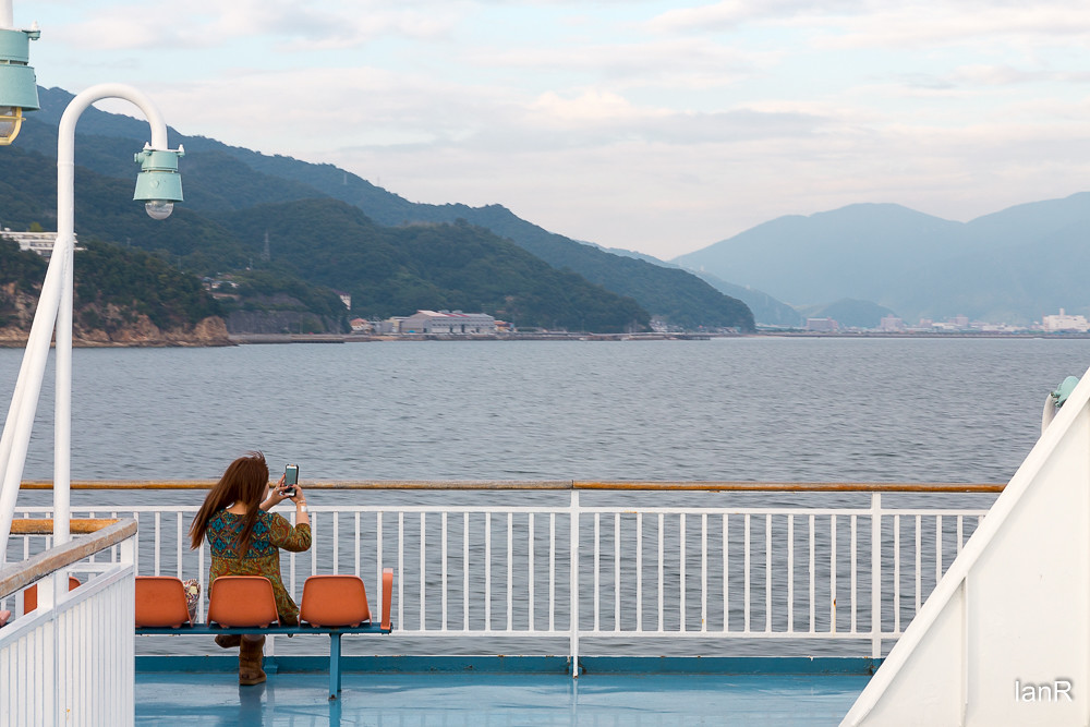
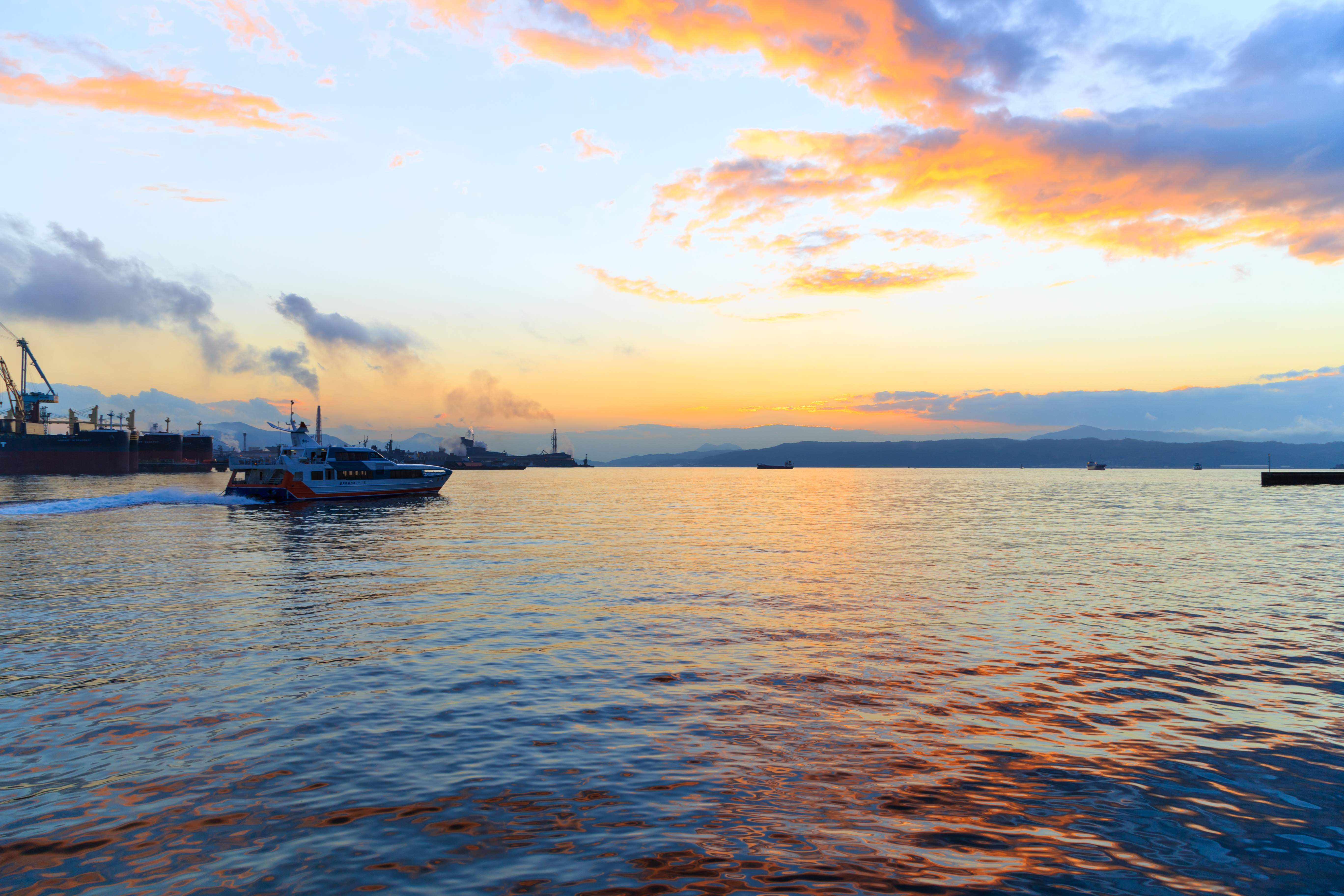
From the ferry
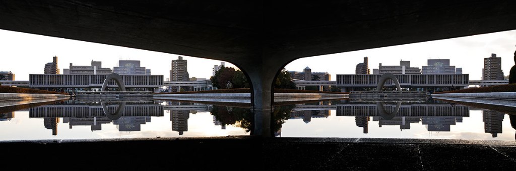
Hiroshima Peace Monument

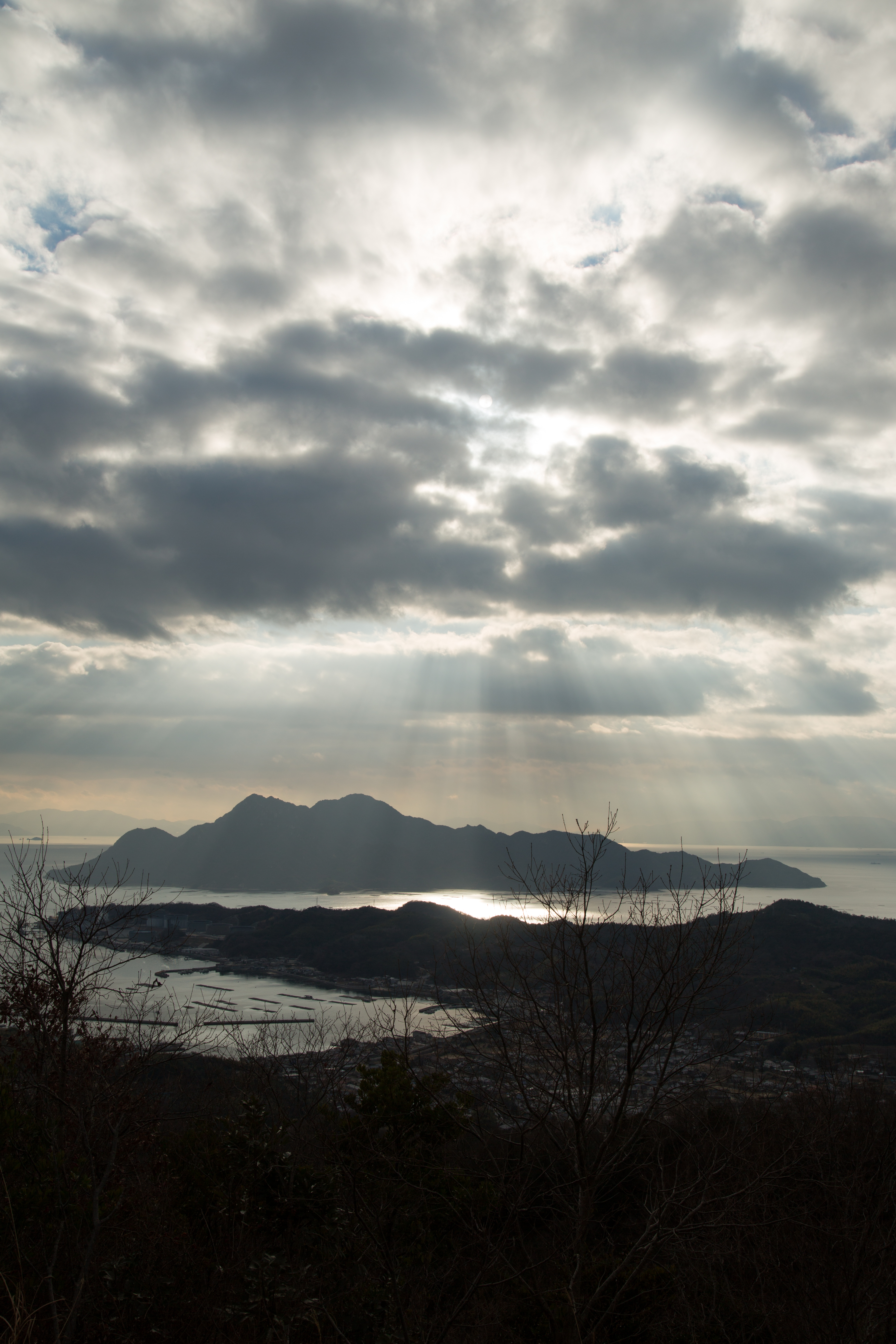
View Over Seto Island Sea

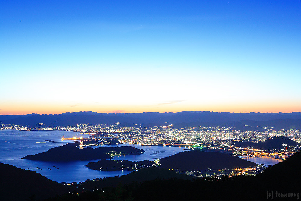
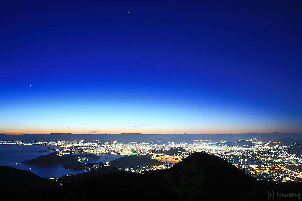
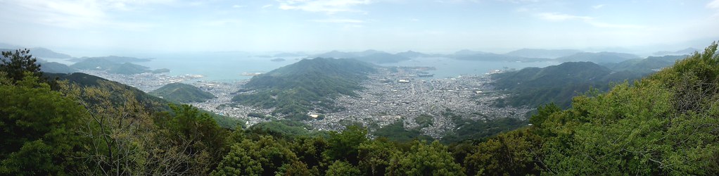
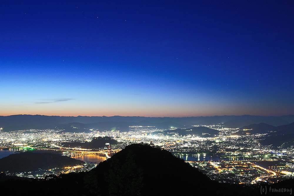
Overlooking Hiroshima City(6-3) 広島市俯瞰(6-3)

Overlooking Hiroshima City(6-2) 広島市俯瞰(6-2)

Overlooking Hiroshima City(6-4) 広島市俯瞰(6-4)

View from helicopter

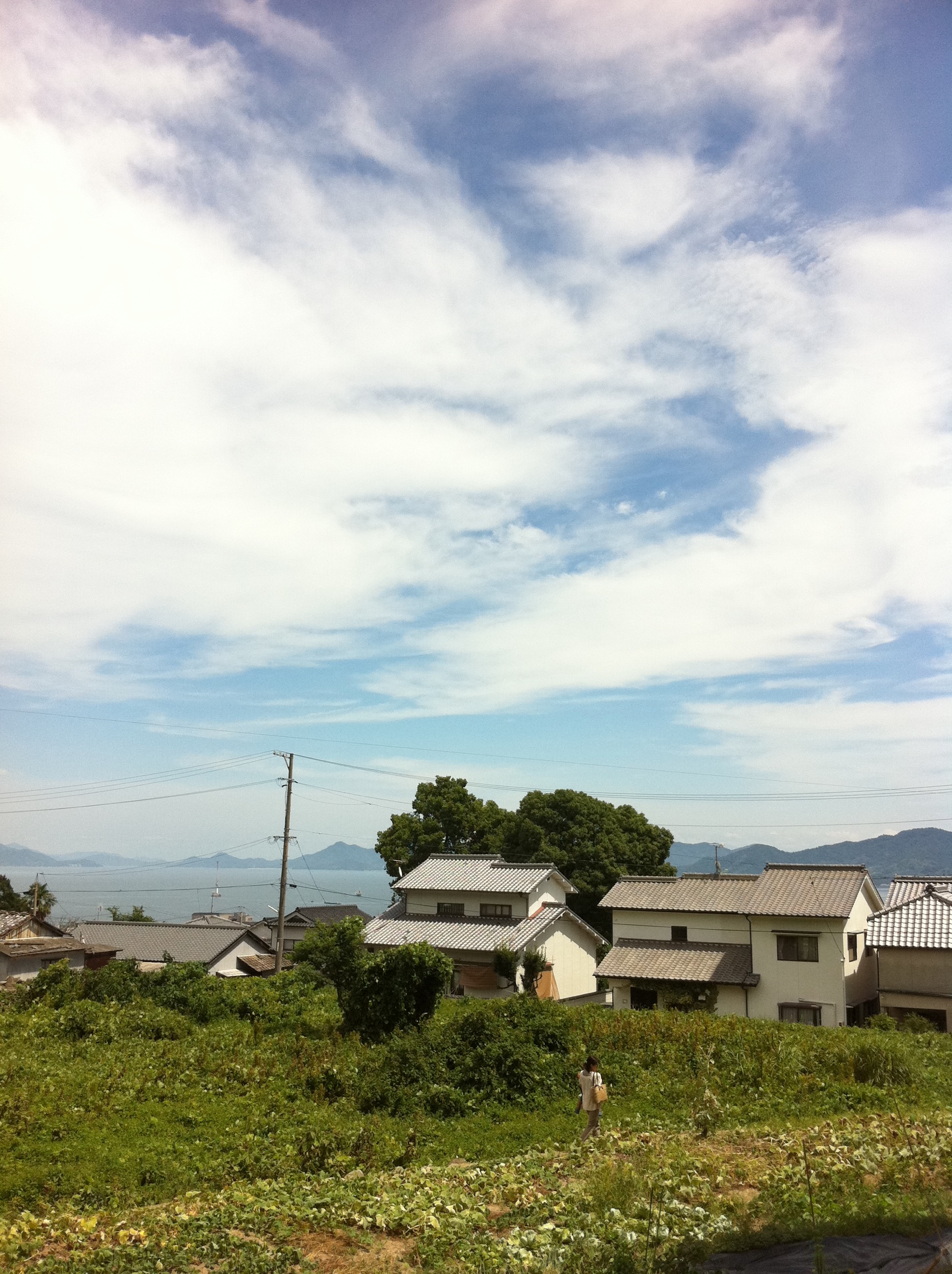
町内風景
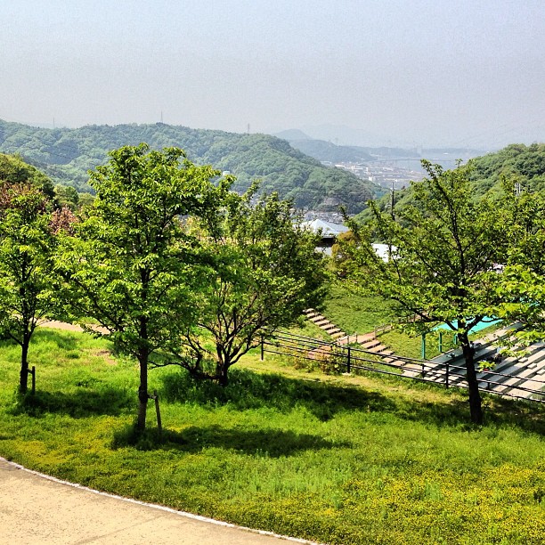
Kaita park- view of the Seto-Naikai
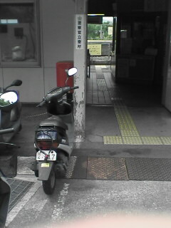
Tennou station
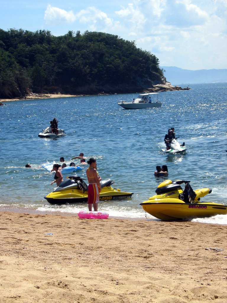
jet skis at Ganne beach

Yukio and the Zero
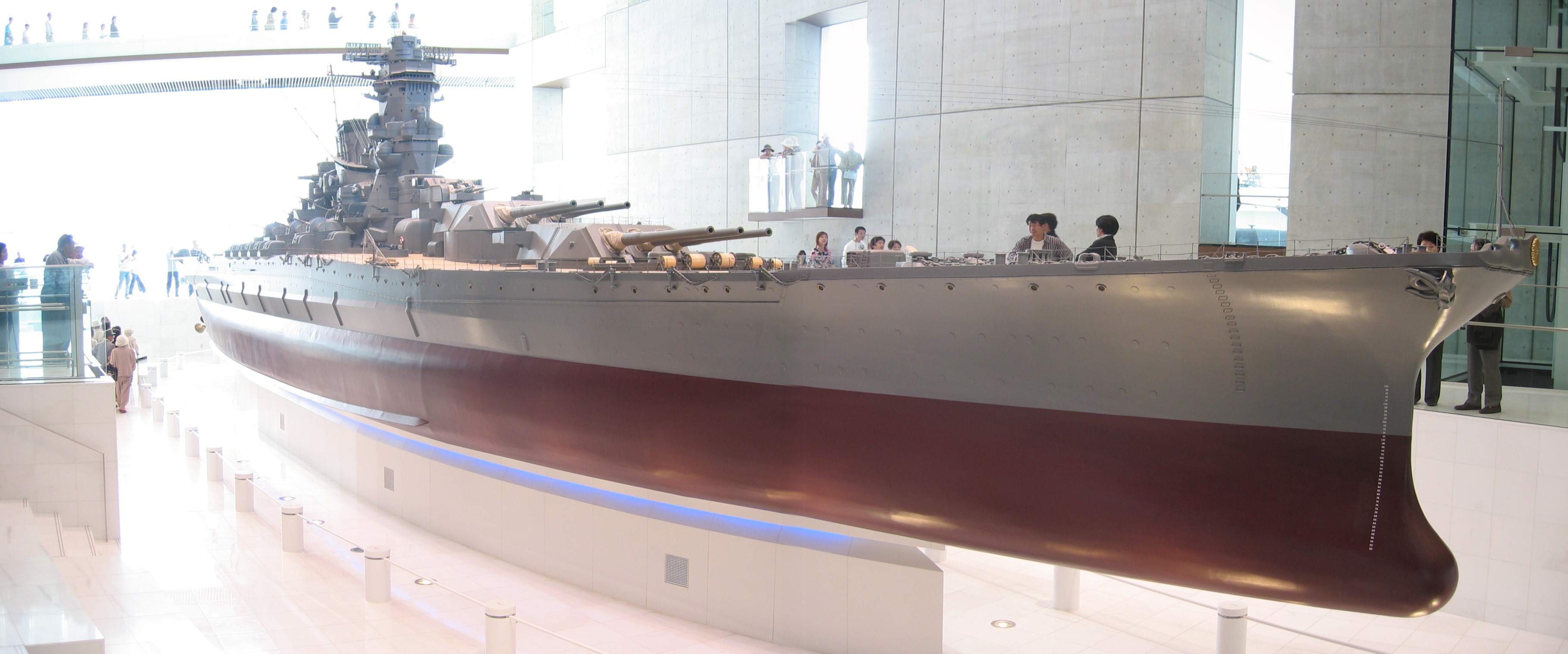
Yamato scale model
IMG_1756.jpg
斜陽 #2

呉市警固屋4丁目 雁木 船溜
IMG_1662.jpg
the Peak of Mt. Ege
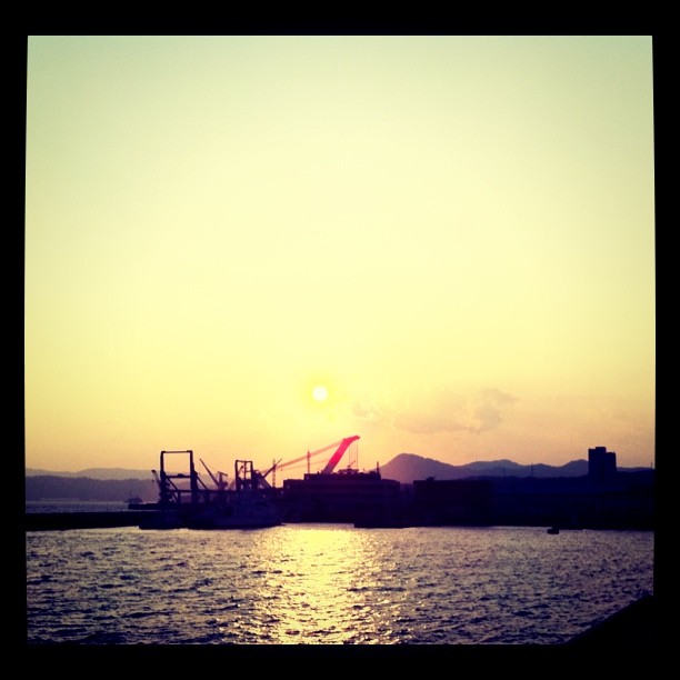
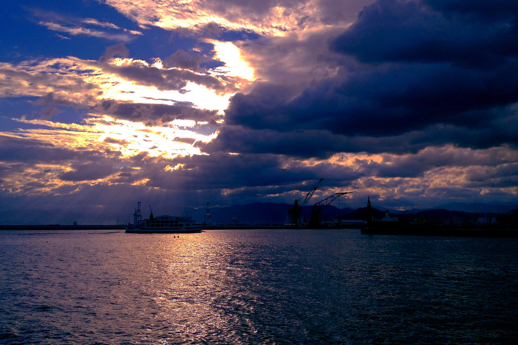
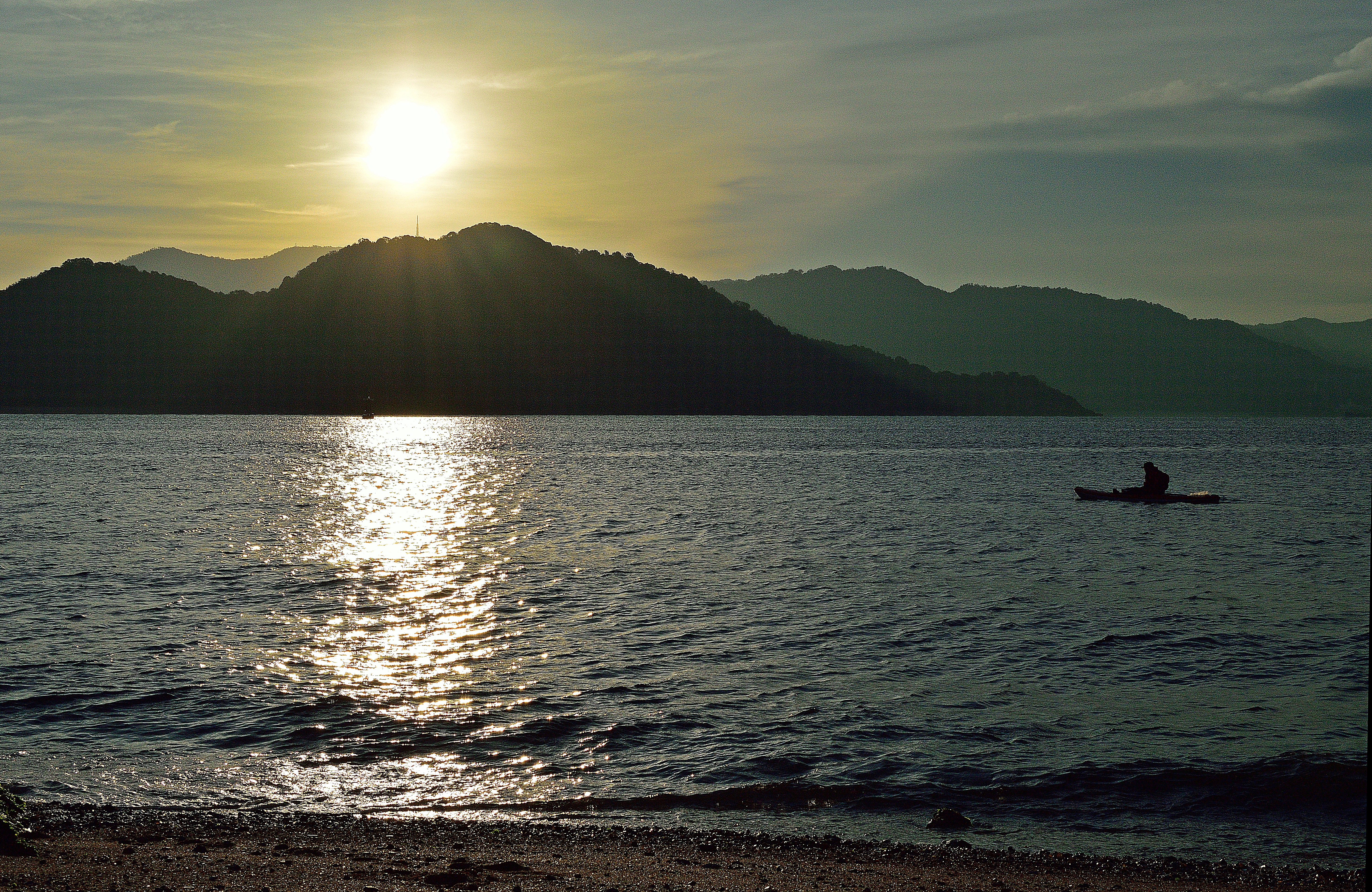
呉の夕陽
the Peak of Mt. Ege
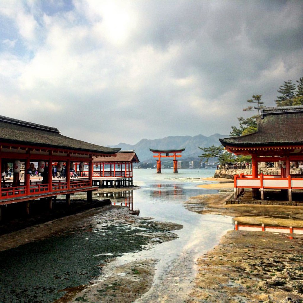
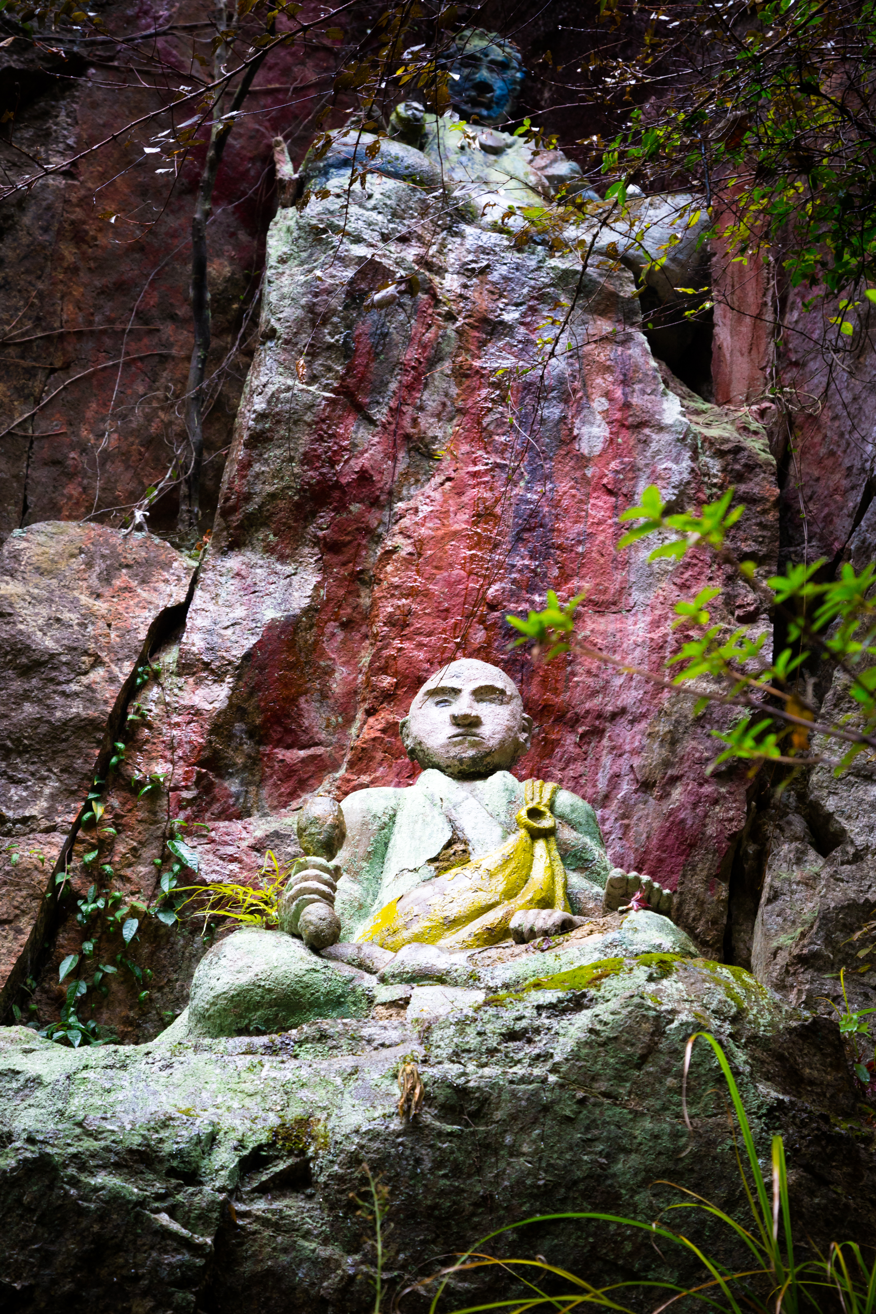
i absolutely love this shrine!!
Mt. Haigamine

IMG-20111204-00108

IMG-20111204-00101

IMG-20111204-00103
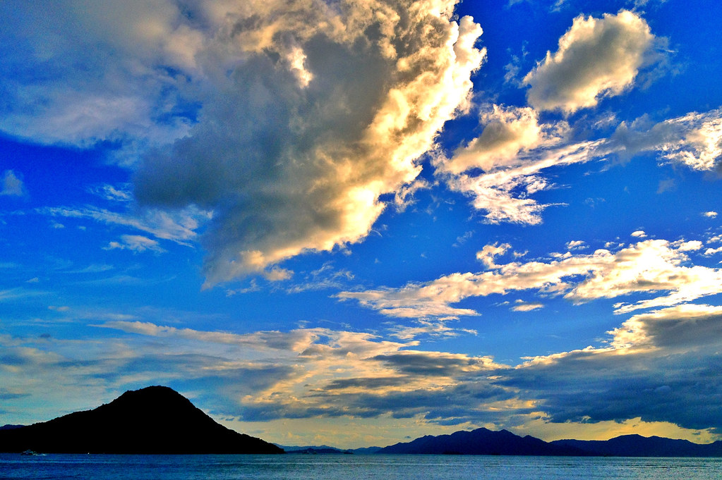
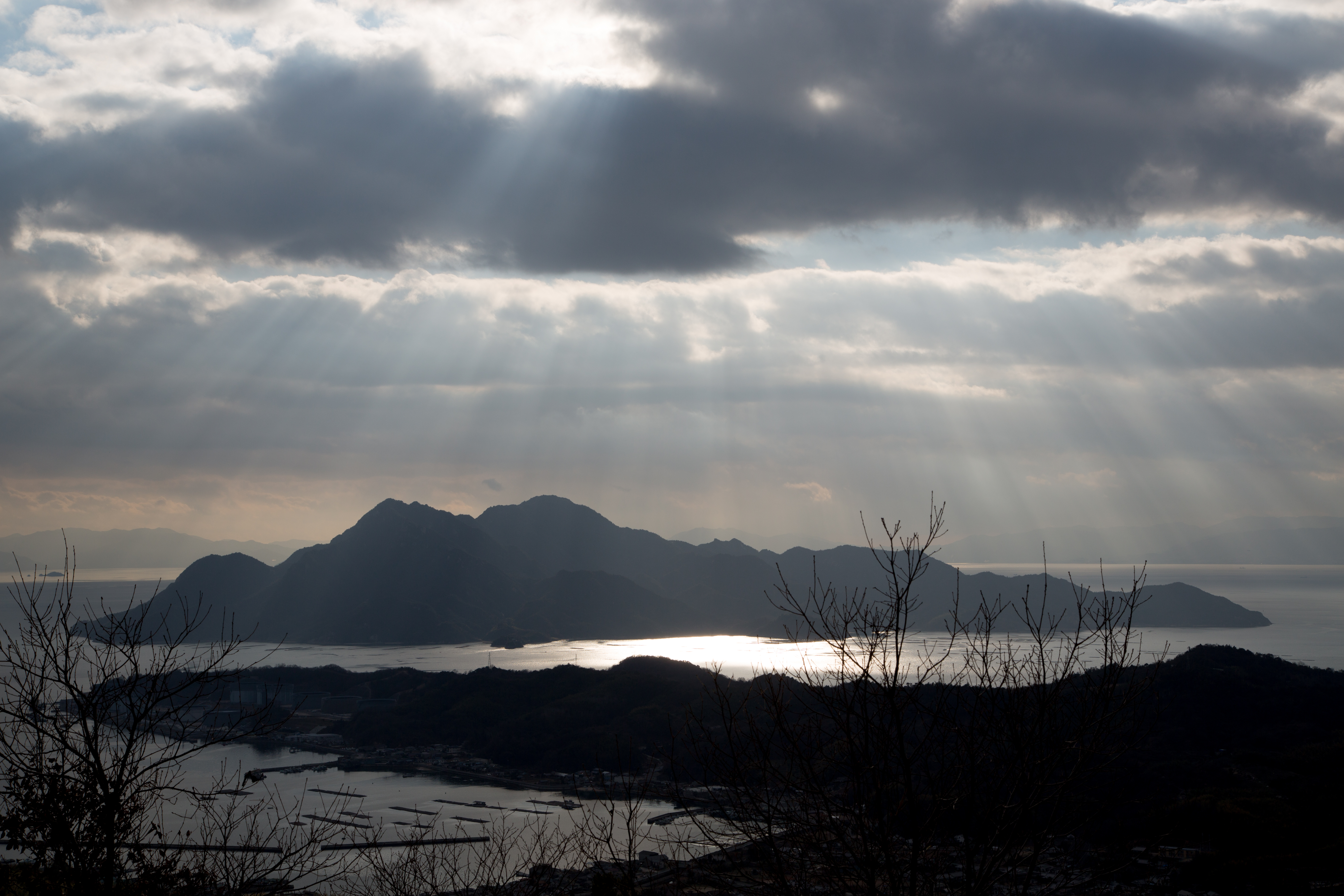
Inland sea, islands, sky and clouds.
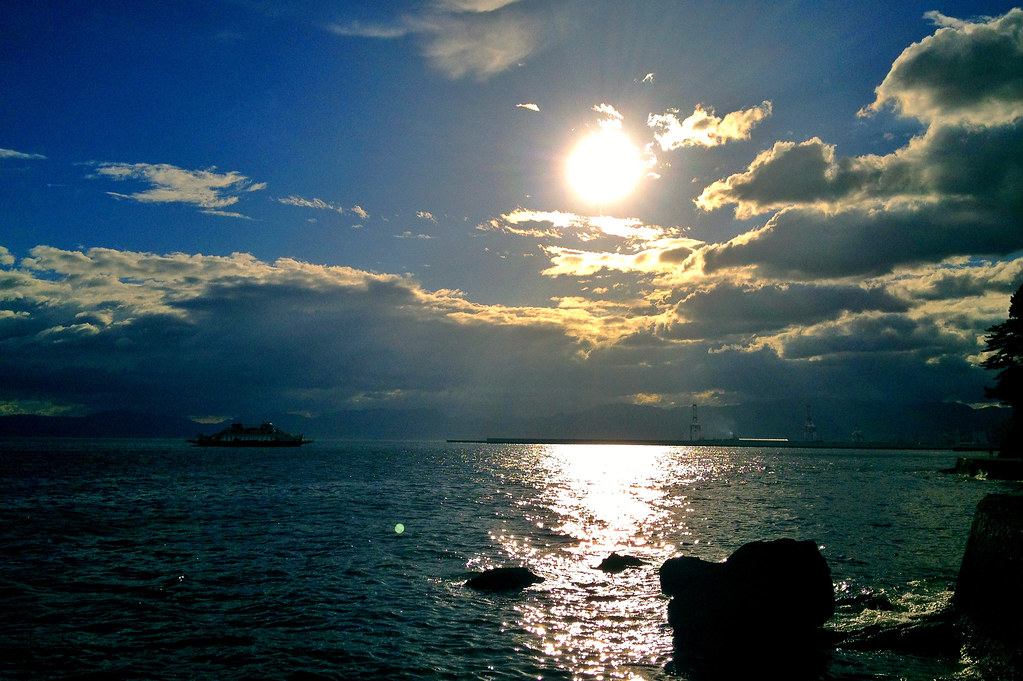
斜陽
瀬戸内の島
LR4-6187
カメラロール-140

今日の広島湾♪( ´▽`)
宇品海岸5・Ujina Seashore
the Peak of Mt. Ege
Topographic Map of 8-6 Murosechō, Kure-shi, Hiroshima-ken -, Japan
Find elevation by address:

Places near 8-6 Murosechō, Kure-shi, Hiroshima-ken -, Japan:
Kure
5 Chome-16-10 Agaminami, Kure-shi, Hiroshima-ken -, Japan
7 Chome-6-23 Agaminami, Kure-shi, Hiroshima-ken -, Japan
8 Chome-30-19 Agaminami, Kure-shi, Hiroshima-ken -, Japan
9 Chome-9-37 Agaminami, Kure-shi, Hiroshima-ken -, Japan
5 Chome-6-9 Matoba, Kure-shi, Hiroshima-ken -, Japan
9 Chome-7-47 Kegoya, Kure-shi, Hiroshima-ken -, Japan
1 Chome-23-5 Ondochō Hatami, Kure-shi, Hiroshima-ken -, Japan
6 Chome-20-1 Ondochō Hatami, Kure-shi, Hiroshima-ken -, Japan
10 Chome-16-19 Ondochō Hatami, Kure-shi, Hiroshima-ken -, Japan
2 Chome-47-2 Ondochō Tonoko, Kure-shi, Hiroshima-ken -, Japan
5 Chome-6-48 Hiroshiratake, Kure-shi, Hiroshima-ken -, Japan
2 Chome-3-9 Ondochōhata, Kure-shi, Hiroshima-ken -, Japan
3 Chome-28-1 Etajimachō Koyō, Etajima-shi, Hiroshima-ken -, Japan
3 Chome-13-11 Etajimachō Akizuki, Etajima-shi, Hiroshima-ken -, Japan
1 Chome-21-24 Etajimachō Koyō, Etajima-shi, Hiroshima-ken -, Japan
2 Chome-84-5 Ondochō Tahara, Kure-shi, Hiroshima-ken -, Japan
1 Chome-23-15 Ondochō Arikiyo, Kure-shi, Hiroshima-ken -, Japan
Etajimachō, Etajima-shi, Hiroshima-ken -, Japan
1 Chome-35-5 Etajimachō Washibe, Etajima-shi, Hiroshima-ken -, Japan
Recent Searches:
- Elevation of Kambingan Sa Pansol Atbp., Purok 7 Pansol, Candaba, Pampanga, Philippines
- Elevation of Pinewood Dr, New Bern, NC, USA
- Elevation of Mountain View, CA, USA
- Elevation of Foligno, Province of Perugia, Italy
- Elevation of Blauwestad, Netherlands
- Elevation of Bella Terra Blvd, Estero, FL, USA
- Elevation of Estates Loop, Priest River, ID, USA
- Elevation of Woodland Oak Pl, Thousand Oaks, CA, USA
- Elevation of Brownsdale Rd, Renfrew, PA, USA
- Elevation of Corcoran Ln, Suffolk, VA, USA