Elevation of 59 Buttonwood Rd, Bloomingburg, NY, USA
Location: United States > New York > Sullivan County > Mamakating > Bloomingburg >
Longitude: -74.473014
Latitude: 41.5287284
Elevation: 231m / 758feet
Barometric Pressure: 99KPa
Elevation Map:
Satellite Map:
Related Photos:
Evening Sky Over Wolf Lake
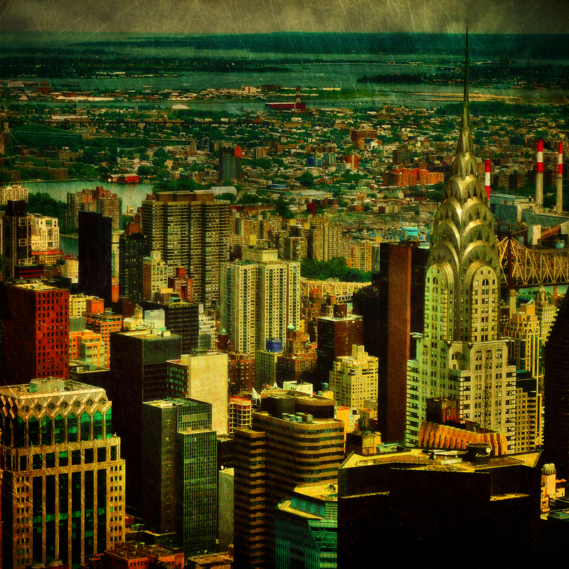
The colors of Manhattan

Waterfall 2

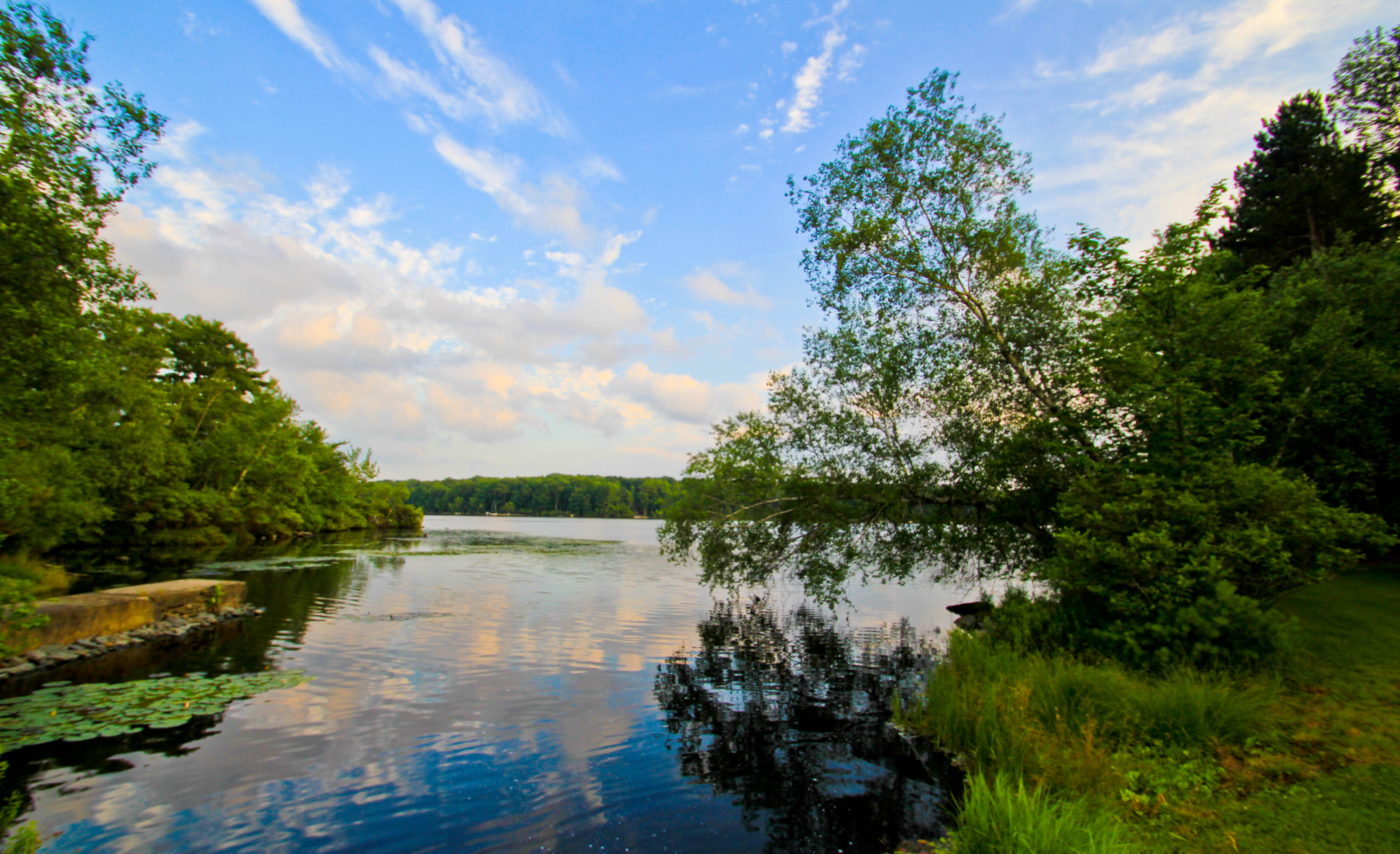
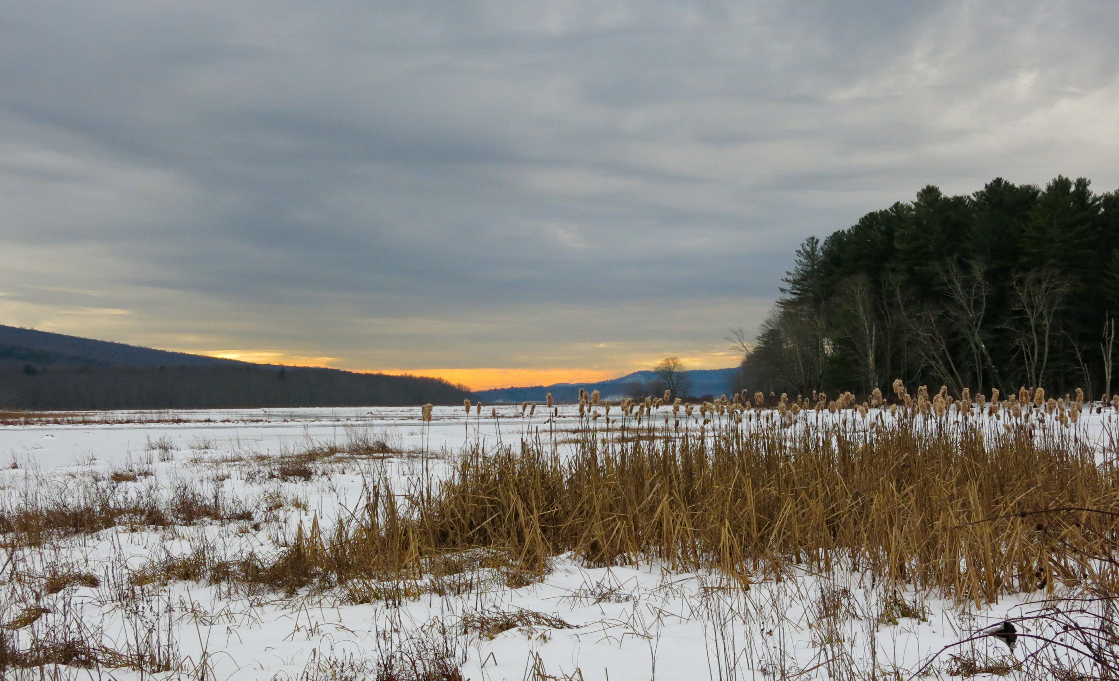
Clouds Moving In Over The Bashakill *Explore*
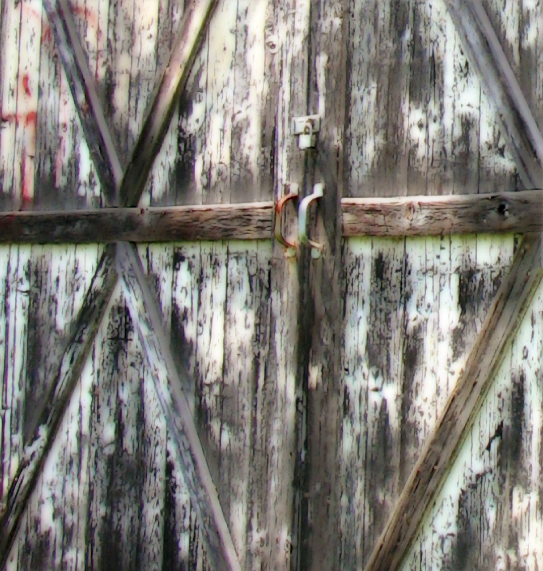
Barn Door Handles
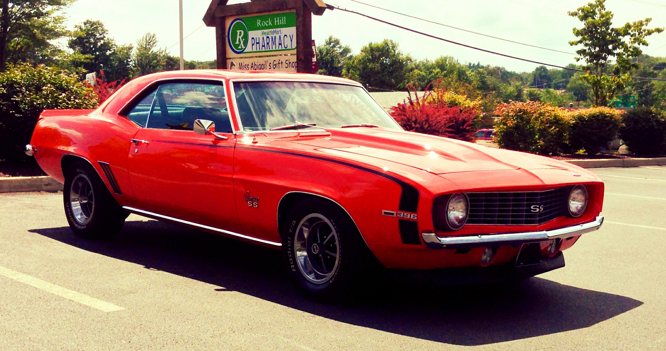
Vacation To 1969

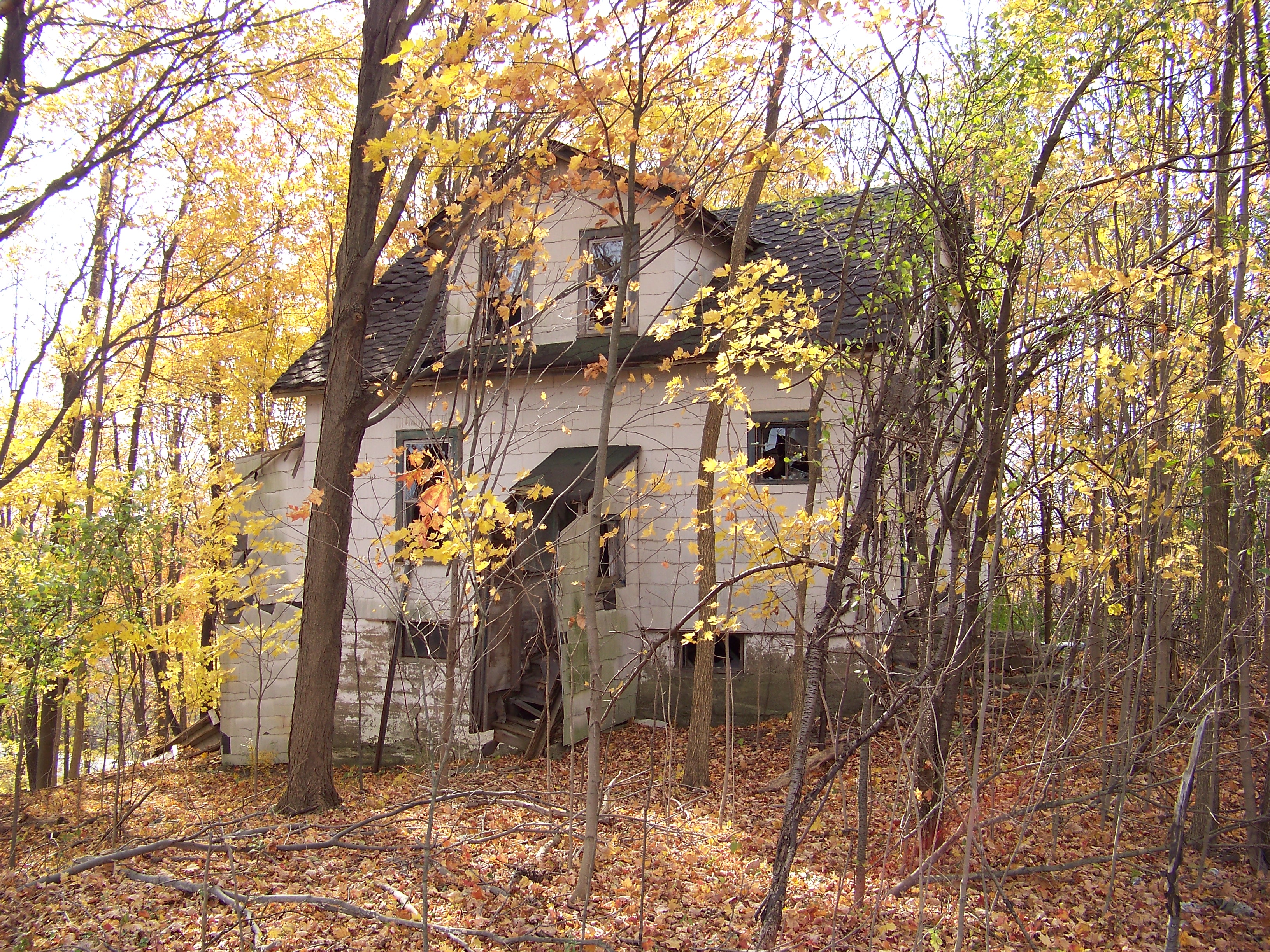
Sacrificed To Time
Bashakill Snowscape
Looking Out
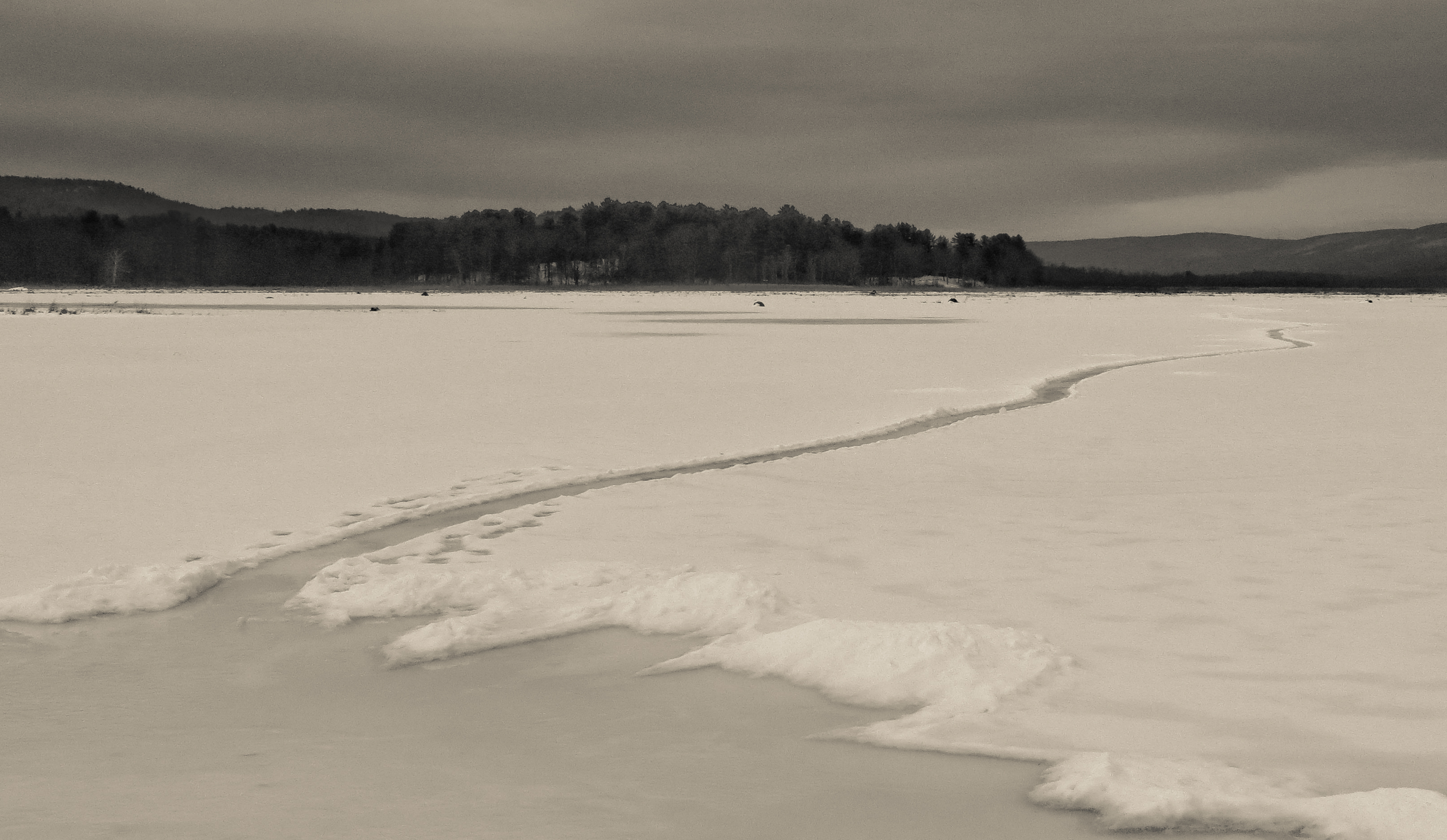
Path Into An Icy Lake

Fence Grate
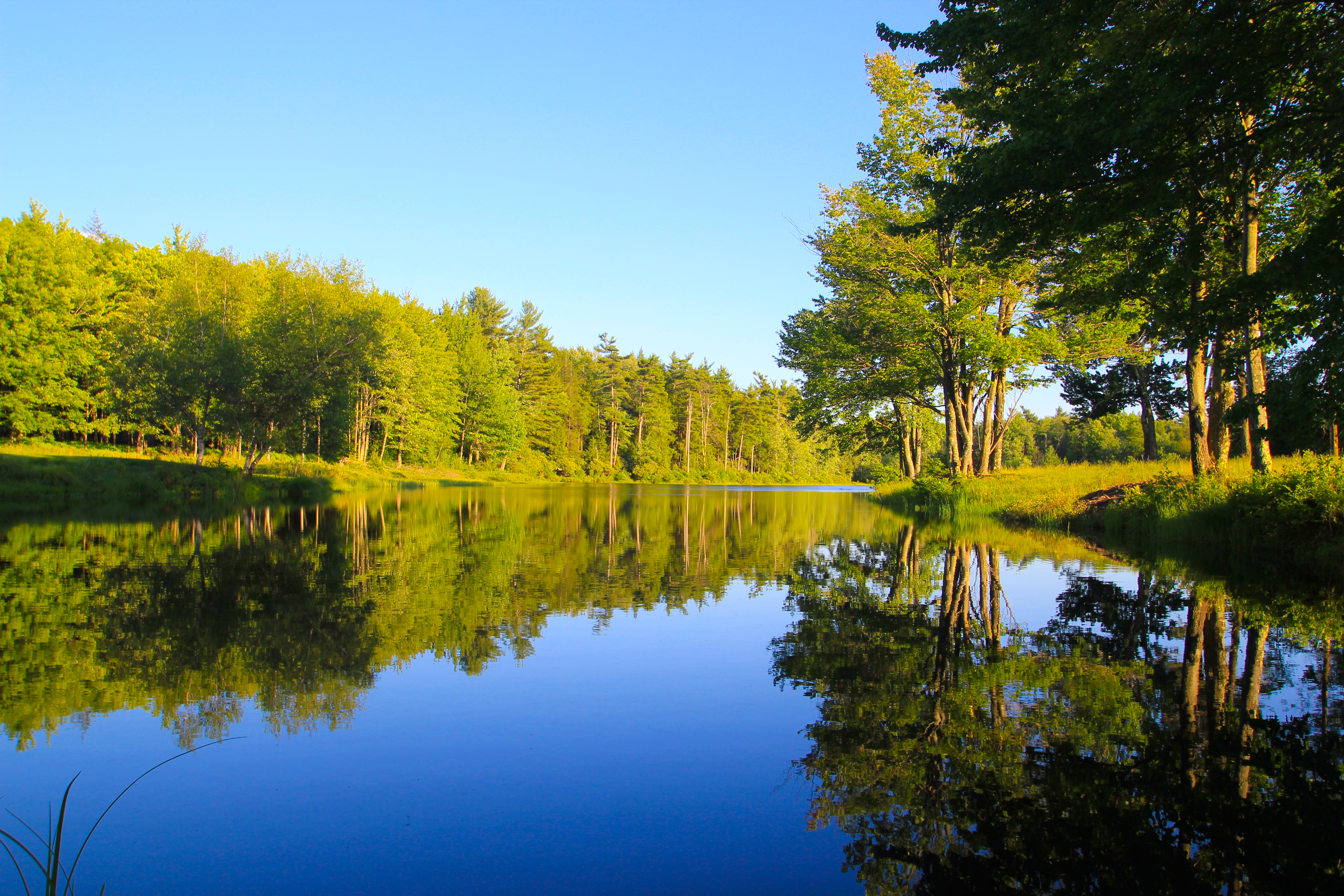
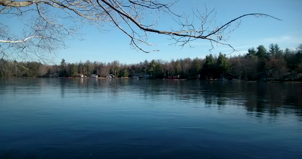
Golden Hour Lake Reflections
Side view
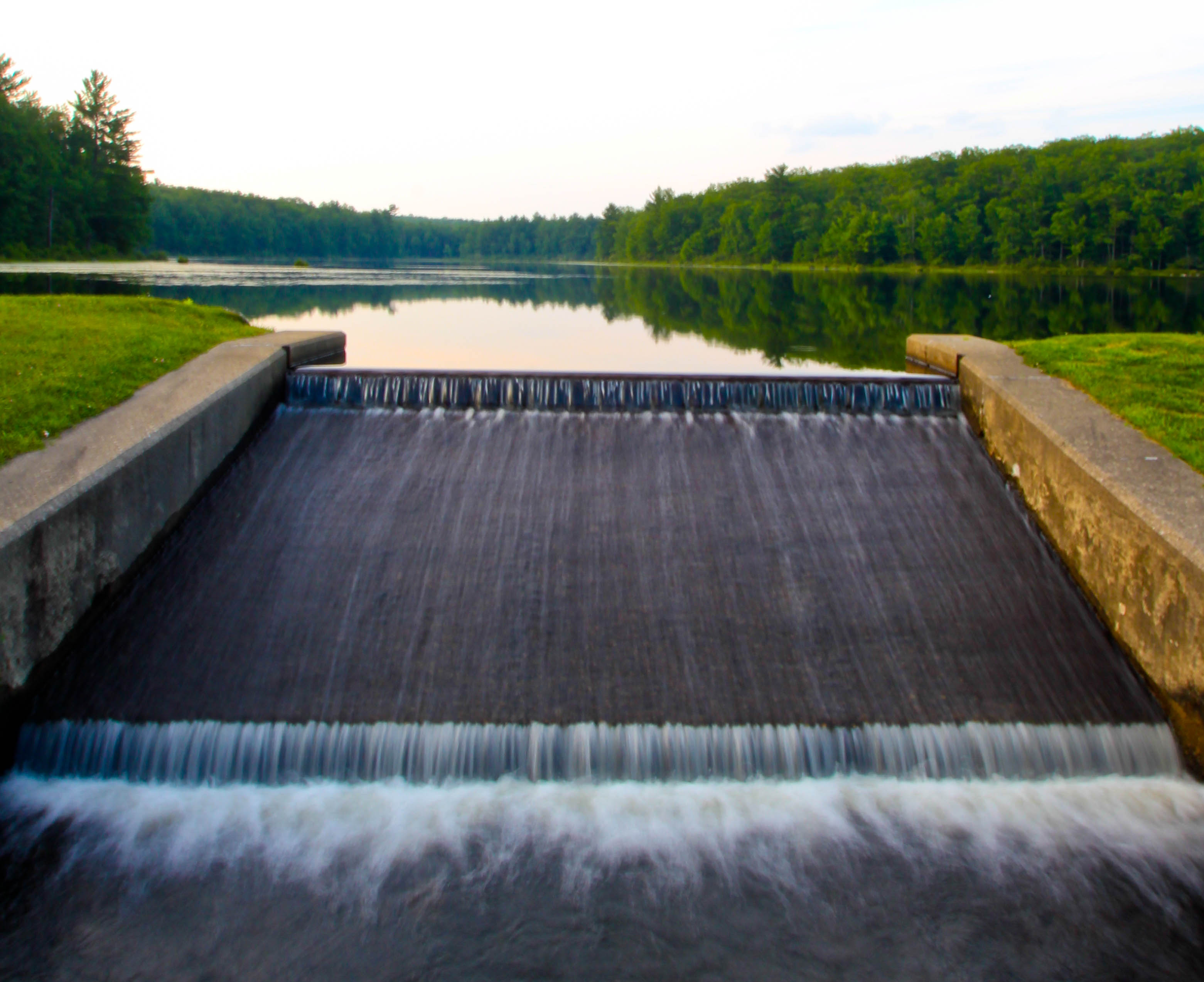
Freedom To Flow
Looking In
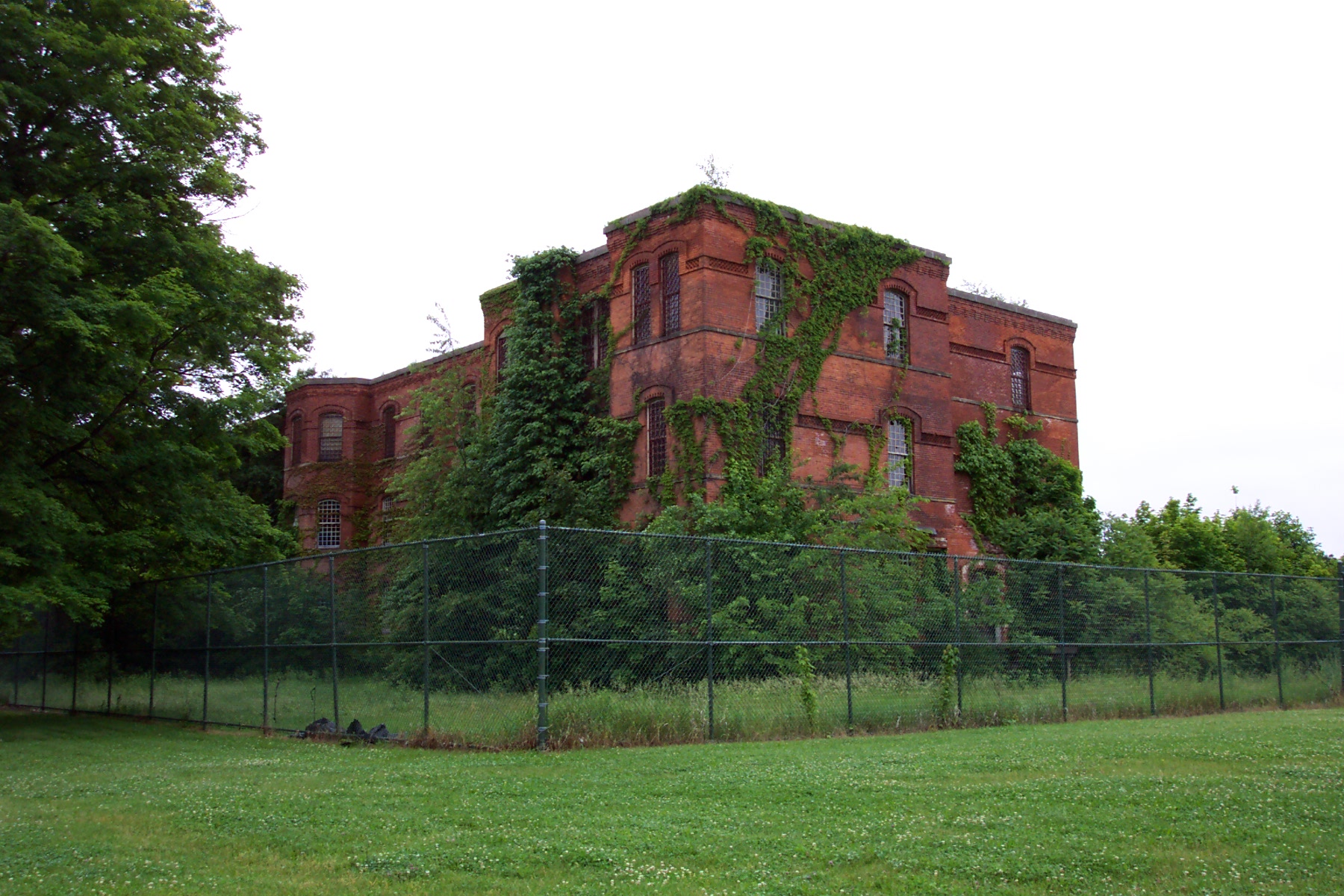
Middletown State Hospital
The view from my cousin's new house

Me at the Wurtsboro Portal
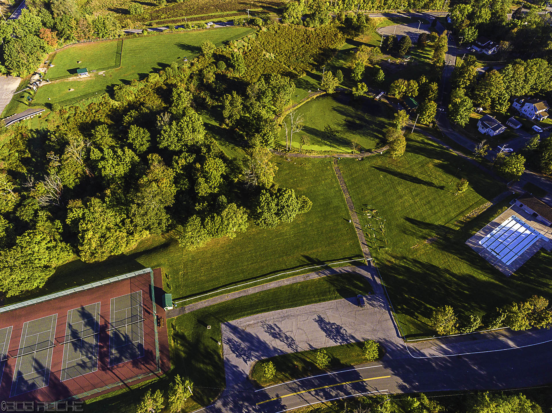
Along The College Fence
Tuckerman Hall

Office Front View
Snowy stream. #icewater #snow #blackandwhite #catskills #iloveny #newyork_instagram #igersofnyc
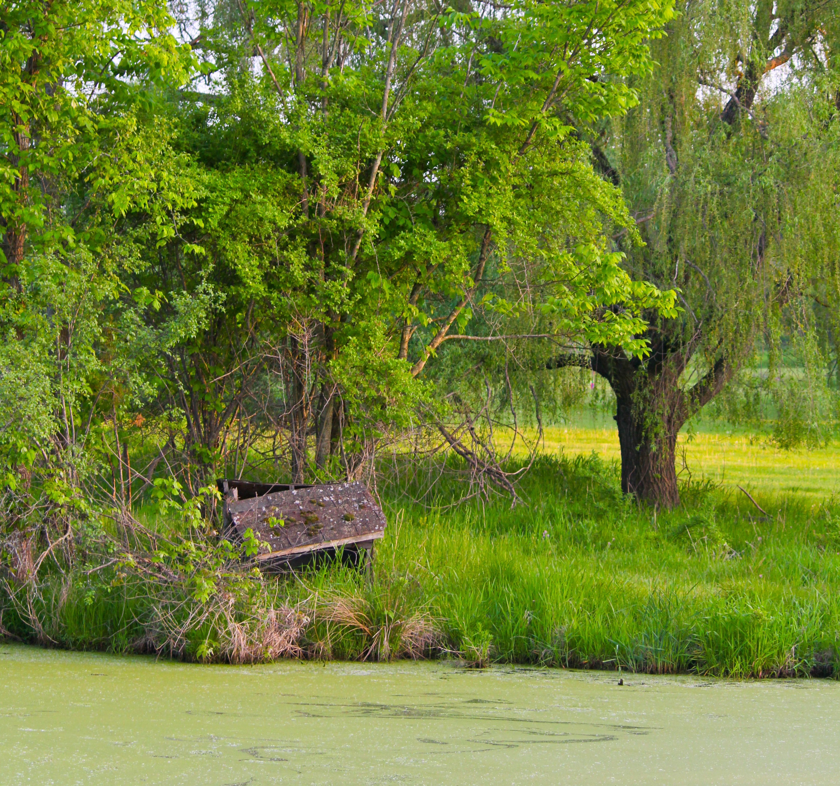
Abandoned Next To A Green Pond
Rock Hill

sun in the mirror
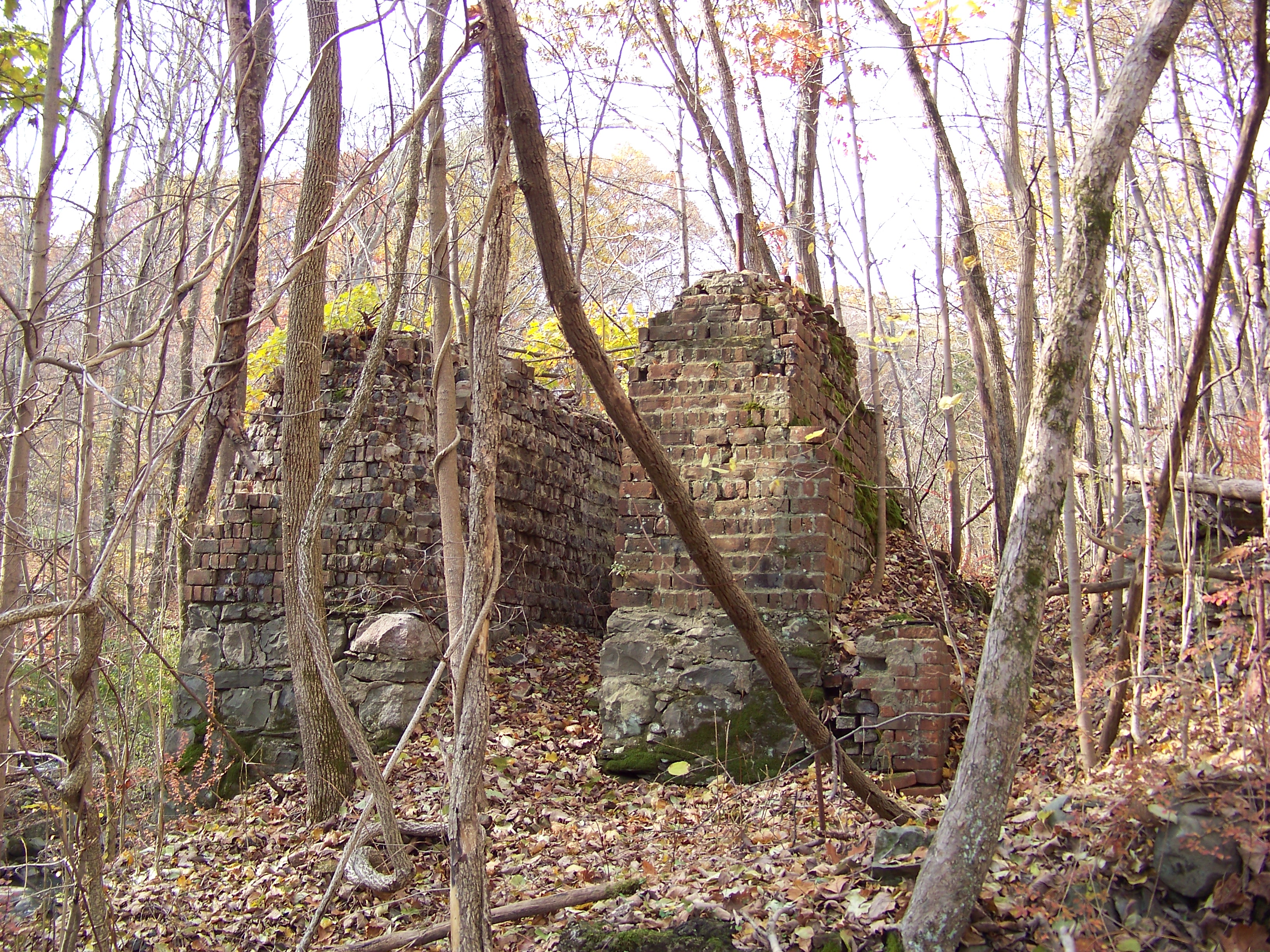
Paper Mill Ruins
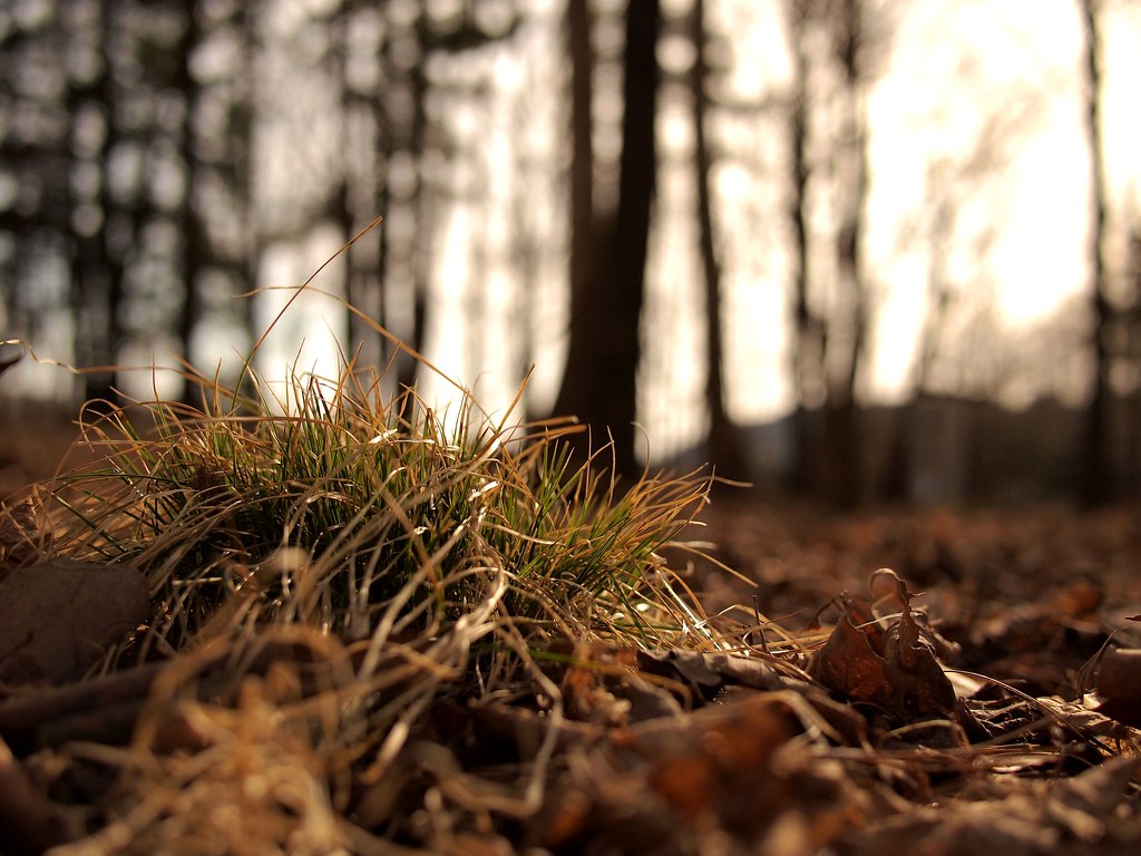
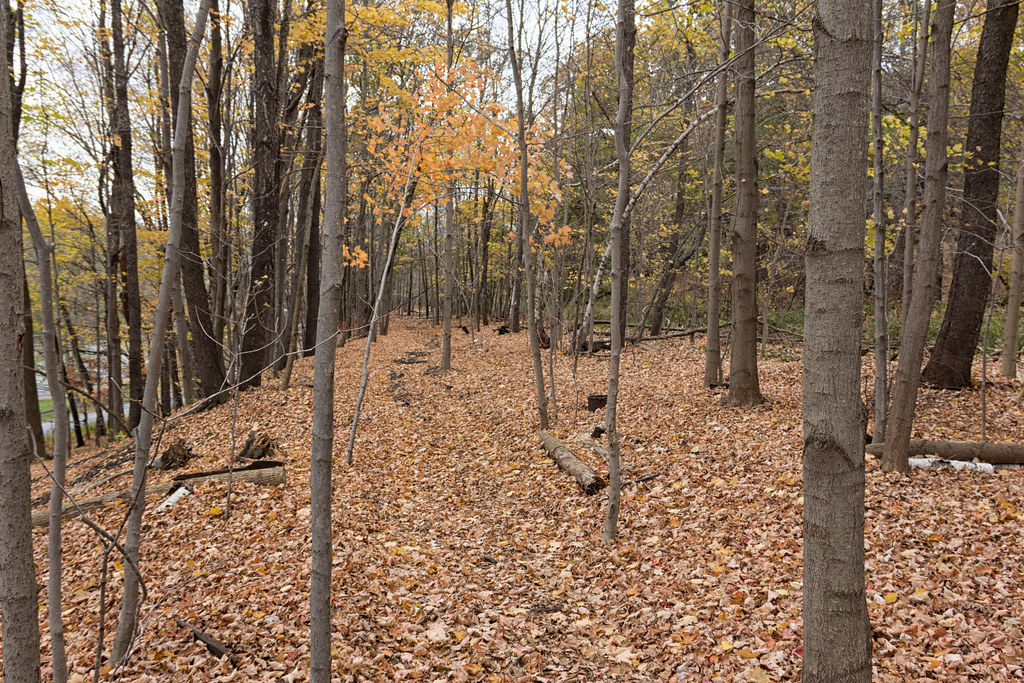
Grass in the woods
Old Erie Mainline
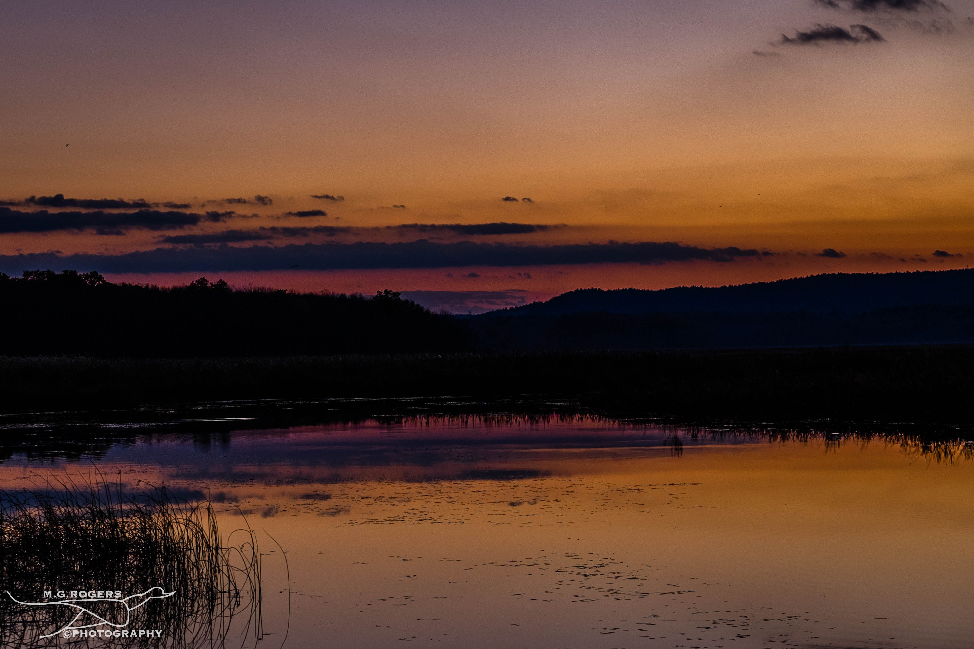
Fading Sunset
National Shrine of Our Lady of Mount Carmel
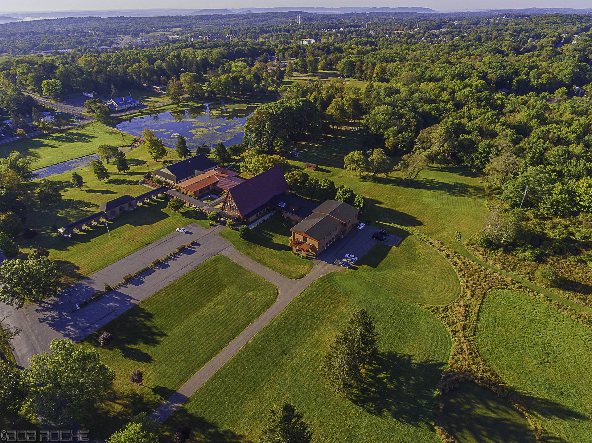
maple-hill-park

It's winter up at the lake, hooray!
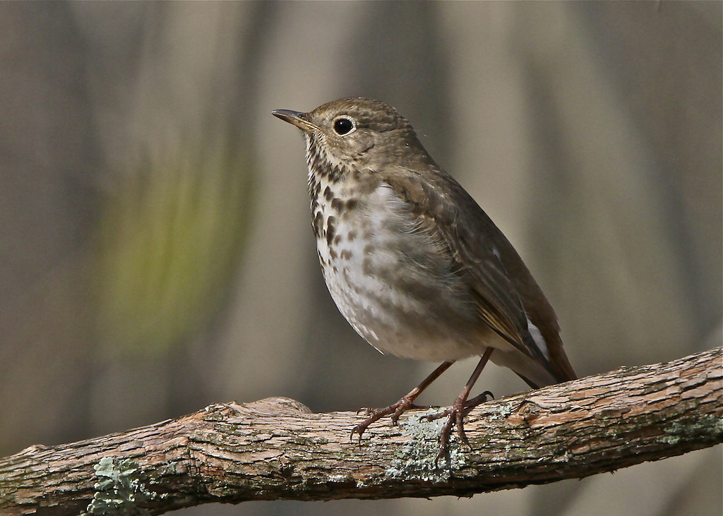
4248 Hermit Thrush
No filter needed
Maple Hill Park

D&H Canal 2
Monhagen Middle School
Topographic Map of 59 Buttonwood Rd, Bloomingburg, NY, USA
Find elevation by address:

Places near 59 Buttonwood Rd, Bloomingburg, NY, USA:
Buttonwood Road
622 Winterton Rd
261 Mountain Rd
18 Valley View Dr
697 New Vernon Rd
Spruce Rd, Middletown, NY, USA
121 Chestnut Ridge Rd
Bloomingburg
244 York Rd
23 Lindberg Ave
Wurtsboro
64 Grandview Dr
107 Kingston Ave
107 Kingston Ave
Horton Road
Grandview Drive
468 Shawanga Lodge Rd
Berentsen's Campground
Mamakating
200 Ny-17k
Recent Searches:
- Elevation of Elwyn Dr, Roanoke Rapids, NC, USA
- Elevation of Congressional Dr, Stevensville, MD, USA
- Elevation of Bellview Rd, McLean, VA, USA
- Elevation of Stage Island Rd, Chatham, MA, USA
- Elevation of Shibuya Scramble Crossing, 21 Udagawacho, Shibuya City, Tokyo -, Japan
- Elevation of Jadagoniai, Kaunas District Municipality, Lithuania
- Elevation of Pagonija rock, Kranto 7-oji g. 8"N, Kaunas, Lithuania
- Elevation of Co Rd 87, Jamestown, CO, USA
- Elevation of Tenjo, Cundinamarca, Colombia
- Elevation of Côte-des-Neiges, Montreal, QC H4A 3J6, Canada