Elevation of New Vernon Rd, Middletown, NY, USA
Location: United States > New York > Orange County > Middletown >
Longitude: -74.482828
Latitude: 41.5042421
Elevation: 195m / 640feet
Barometric Pressure: 99KPa
Elevation Map:
Satellite Map:
Related Photos:

Lines Along A Straight Road

Clouds Moving In Over The Bashakill *Explore*

Waiting For His Driver
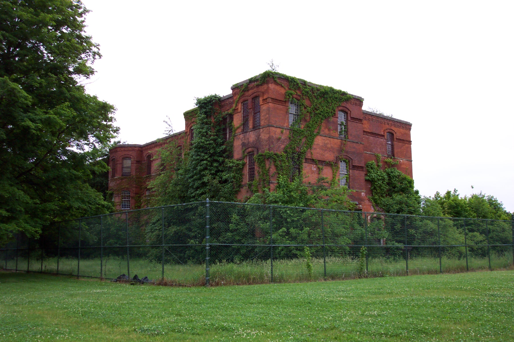
Middletown State Hospital
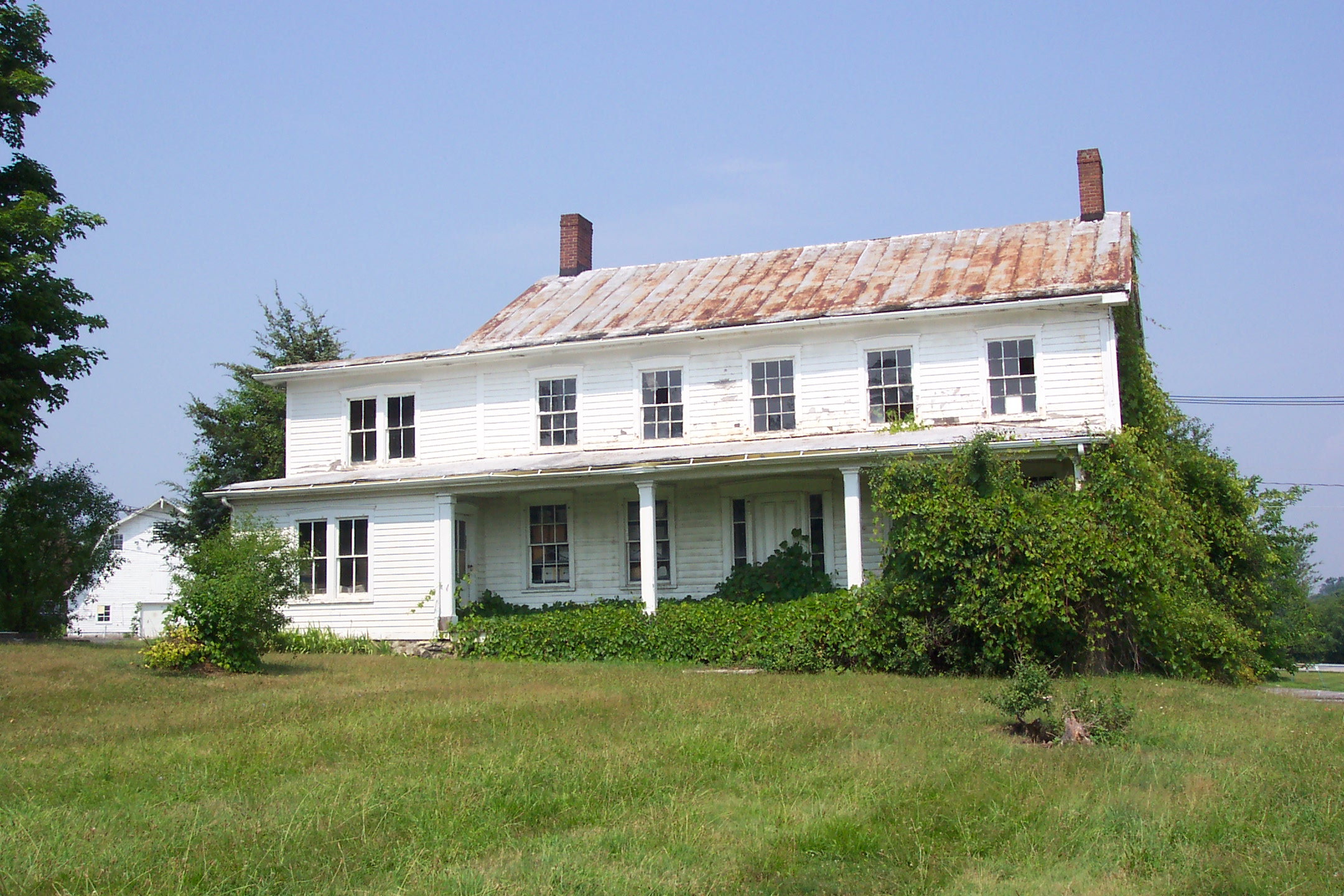
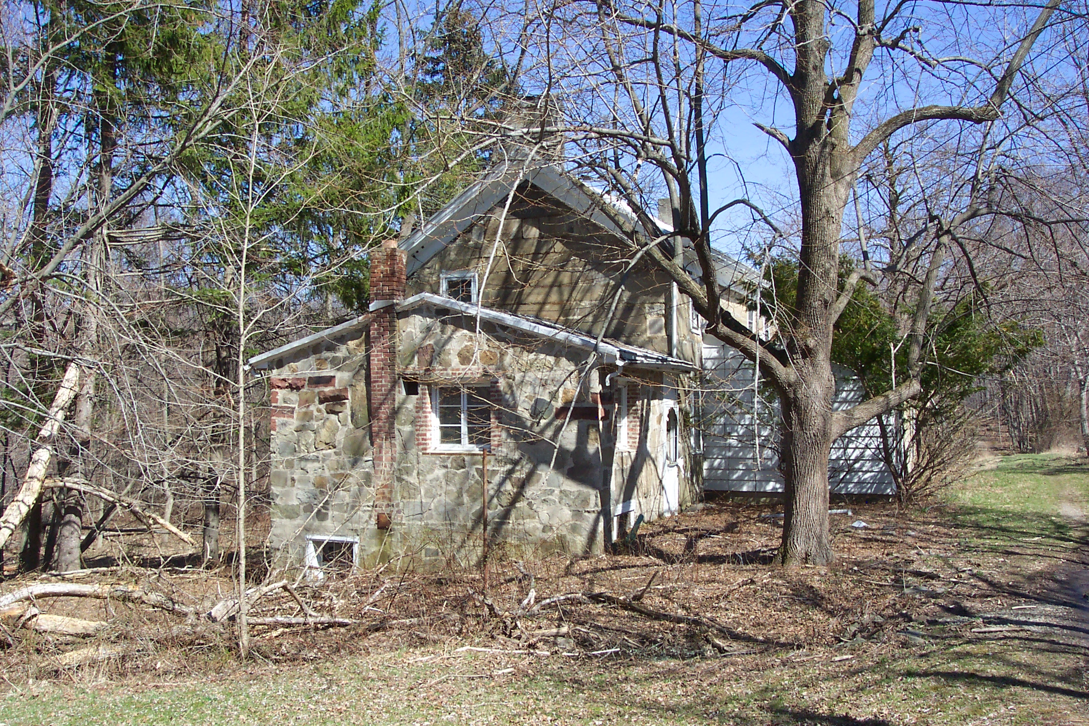
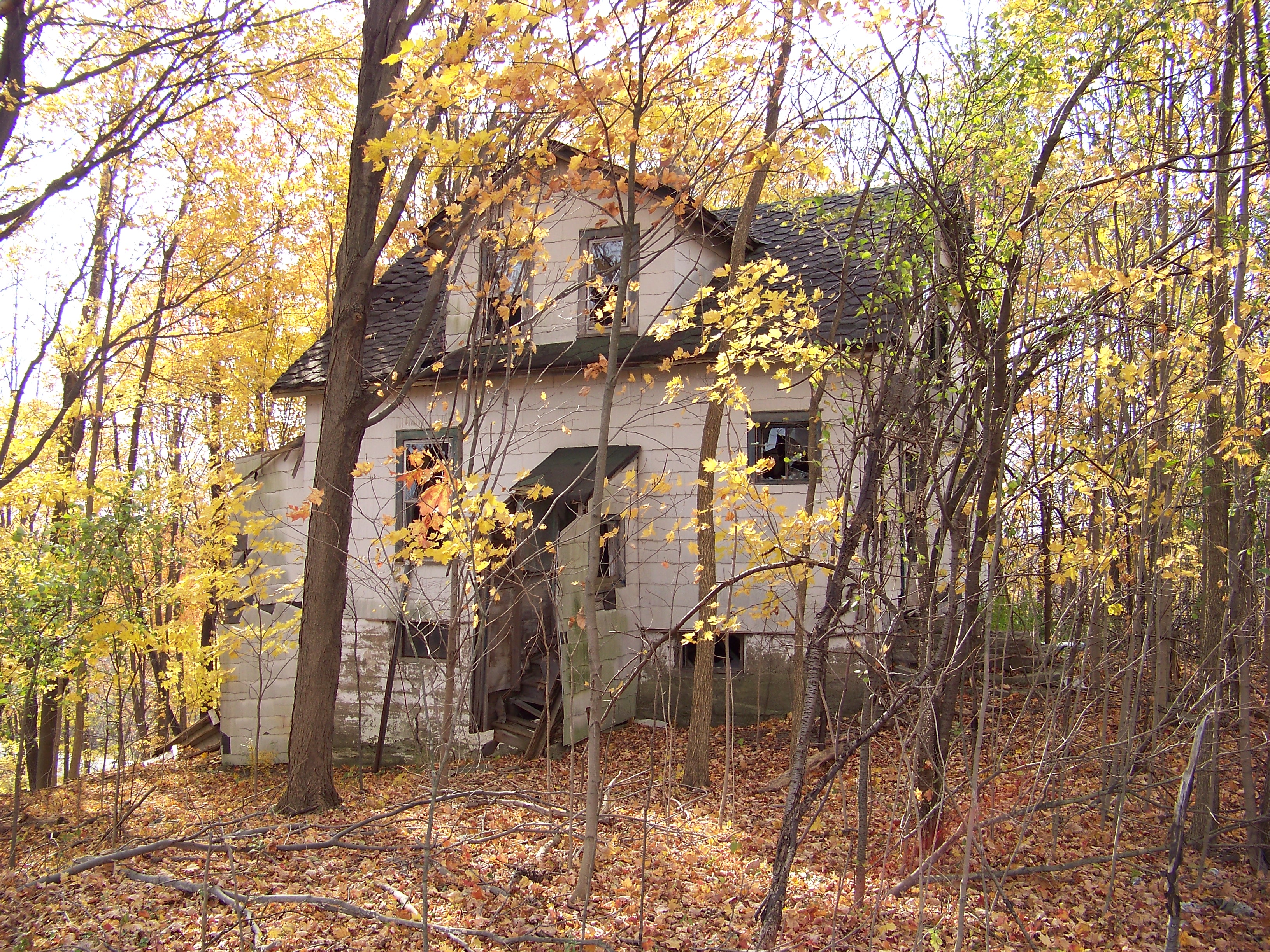
Semi abandoned farmhouse; front view.
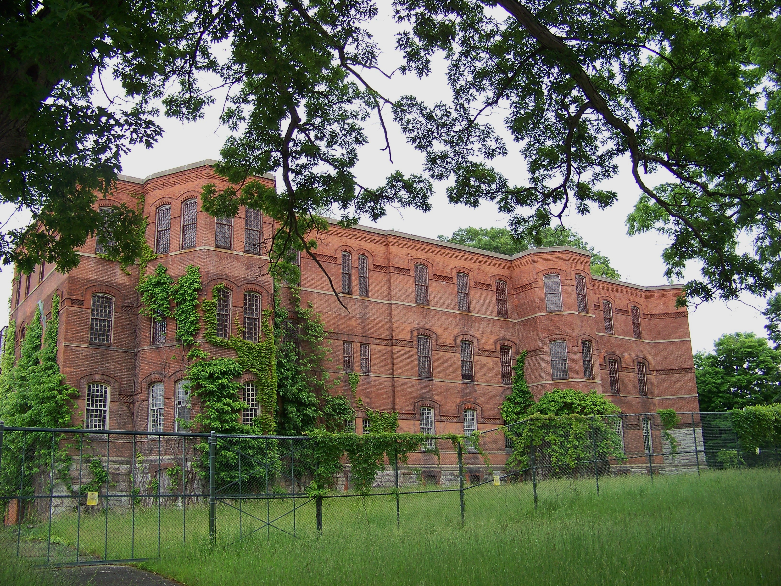
Main Building Annex.
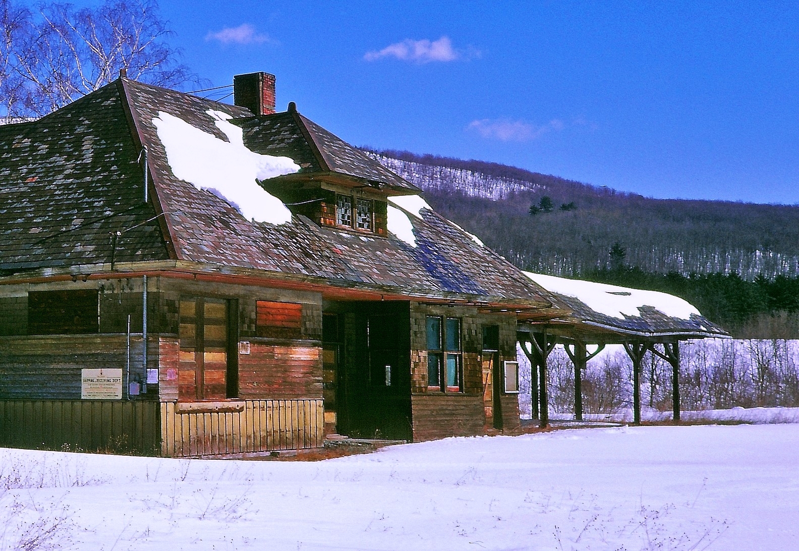
Abandoned NYO&W station, Summitville, NY, 1969
Highland lakes abandoned farm

Holy Cross Greek Orthodox Church

The colors of Manhattan

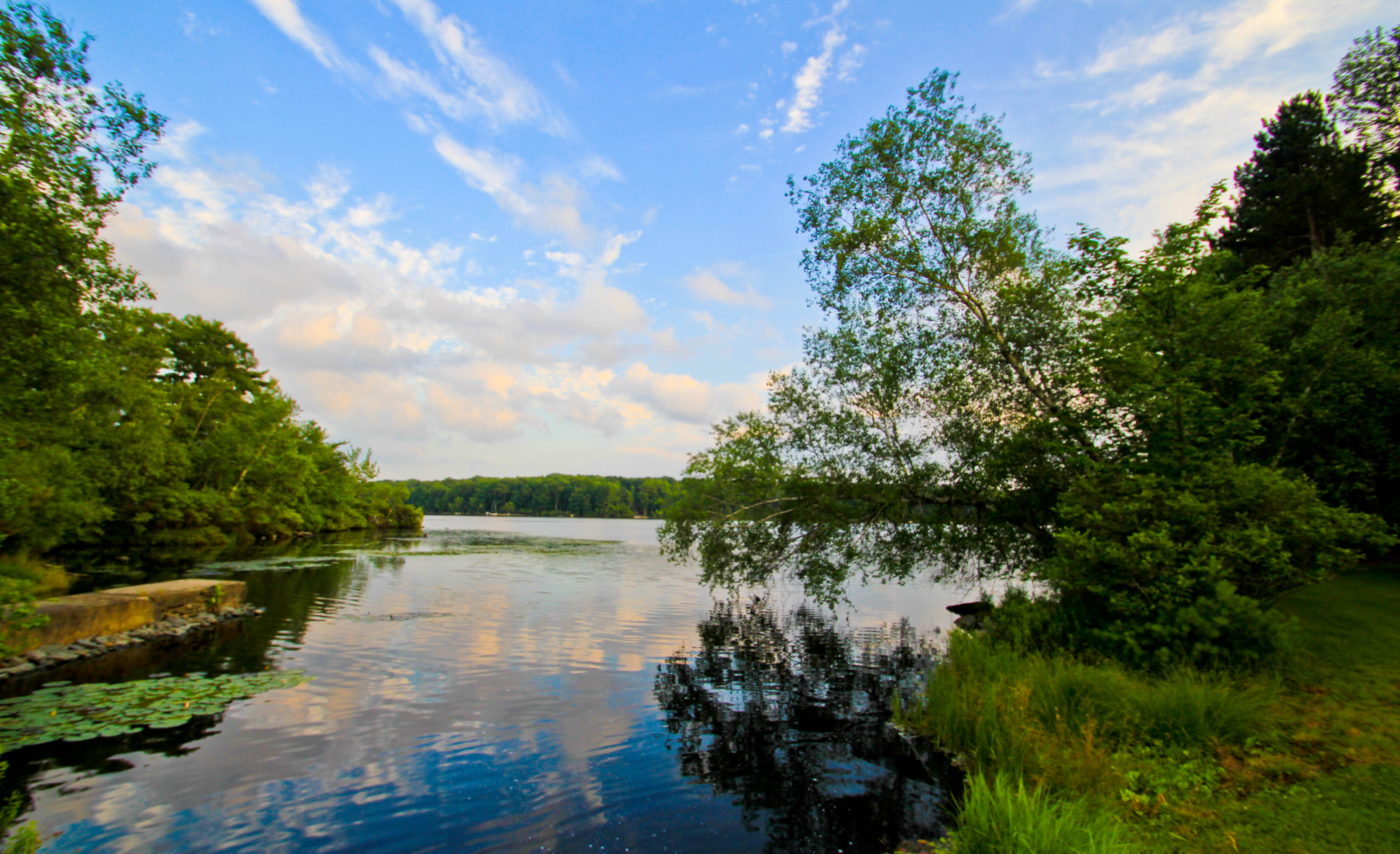
Waterfall 2
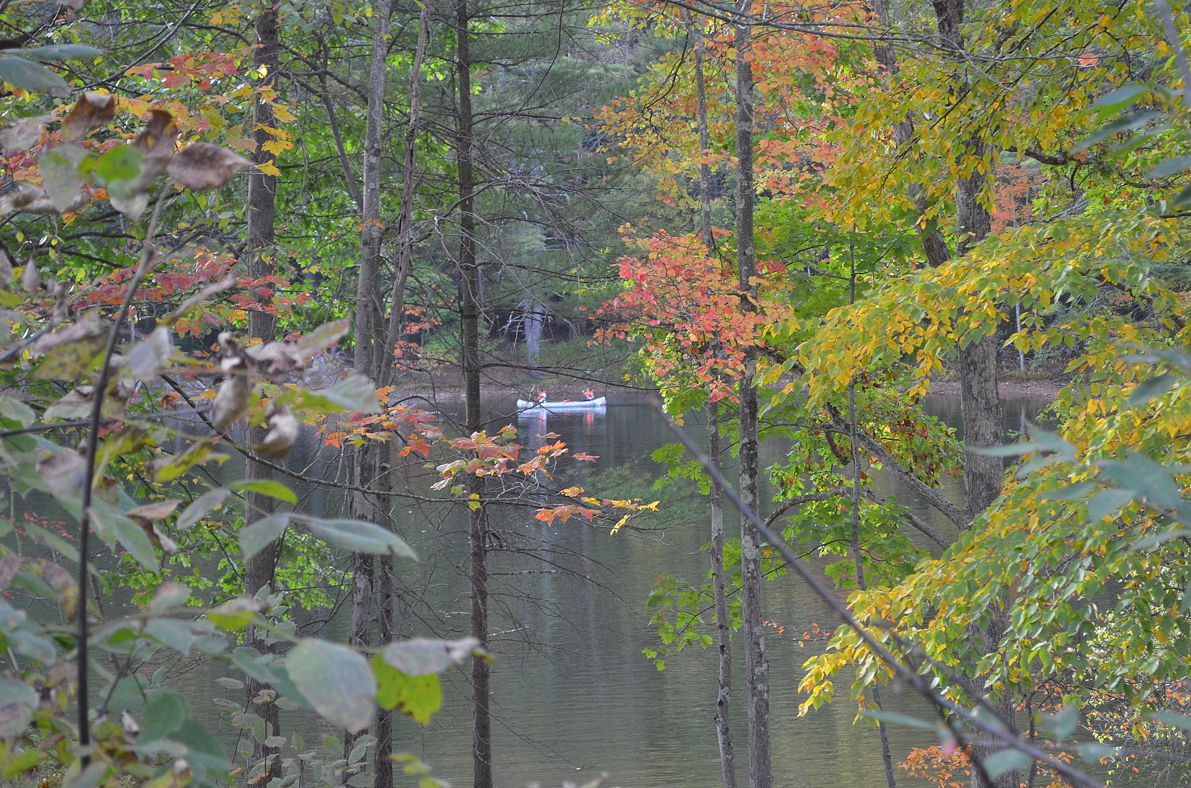
Lake Views 3
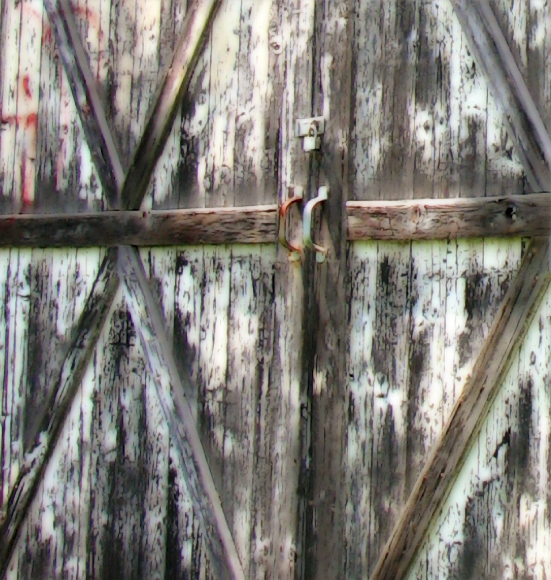
Barn Door Handles

Sacrificed To Time
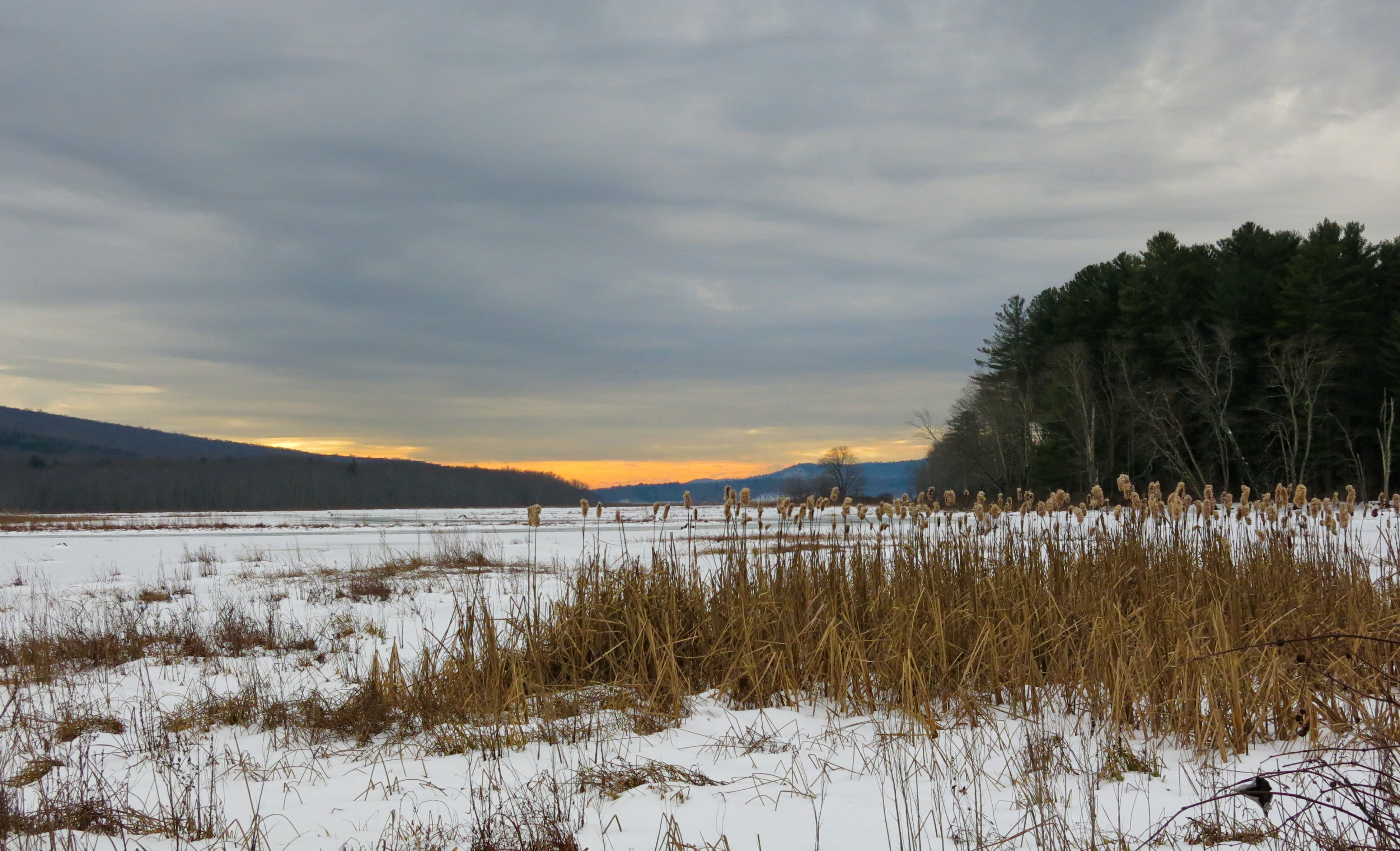
Bashakill Snowscape
Looking Out
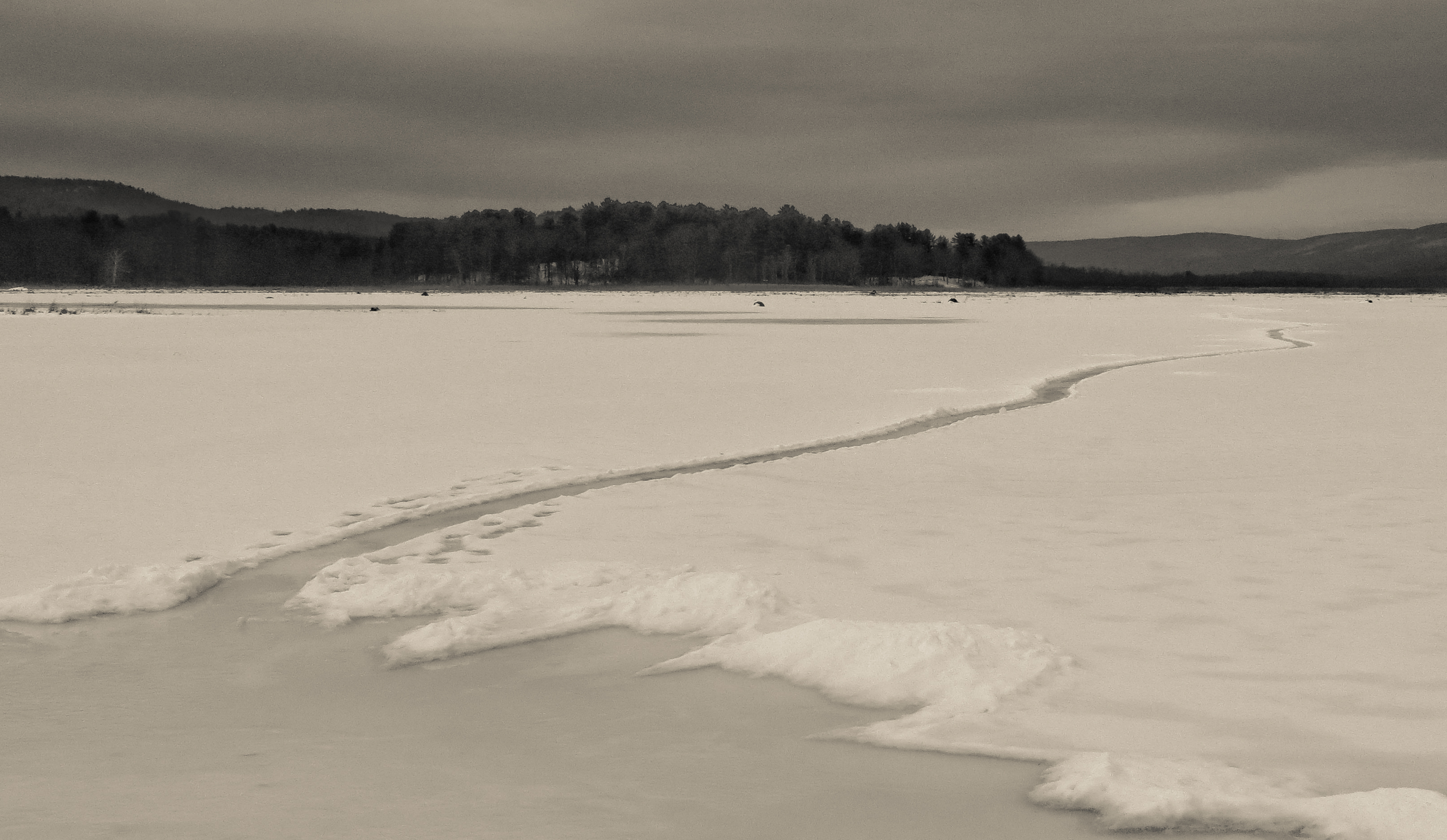
Path Into An Icy Lake
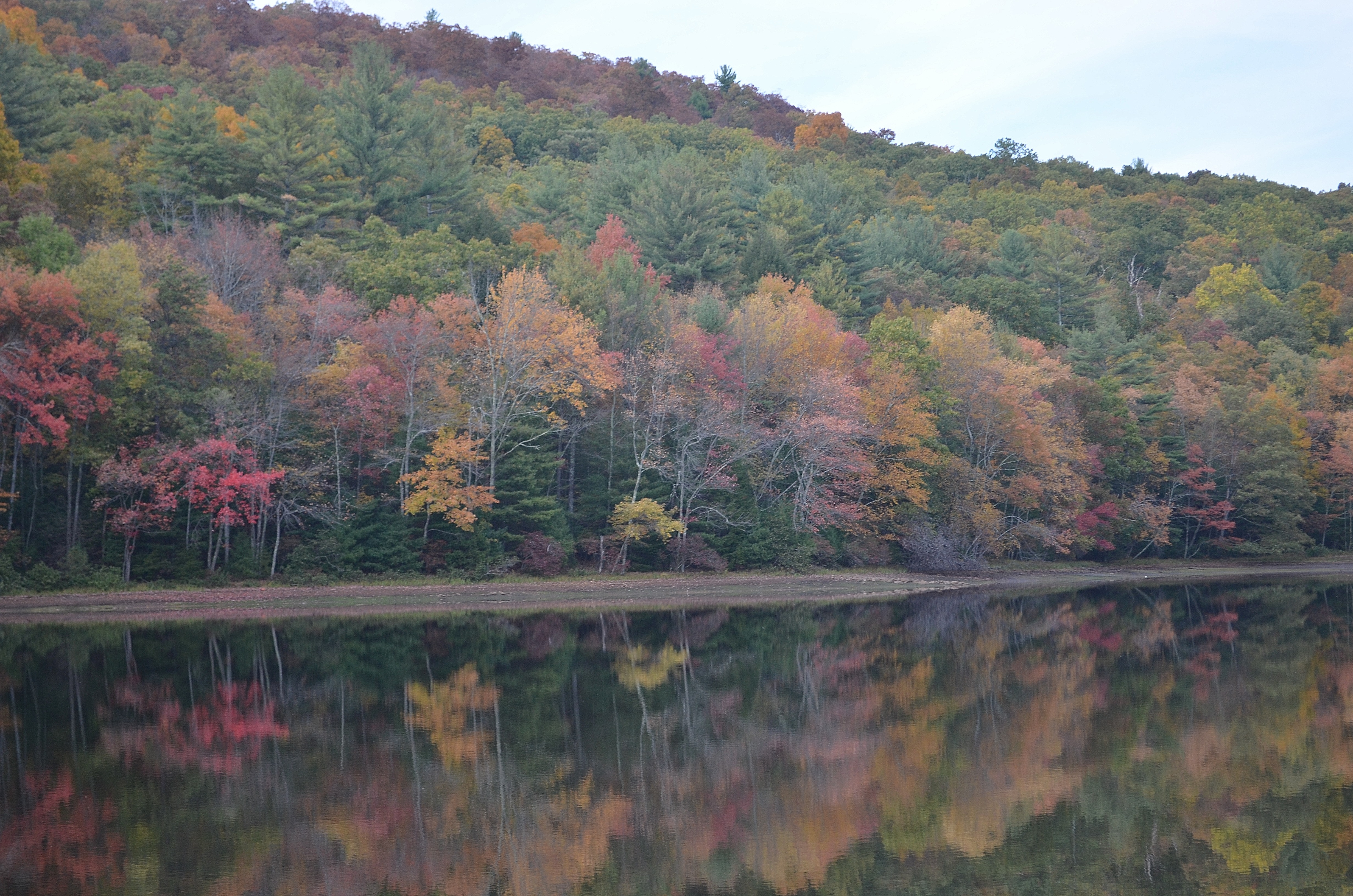
Views of Greenkill 2
Evening Sky Over Wolf Lake
Lake Views 2
Side view
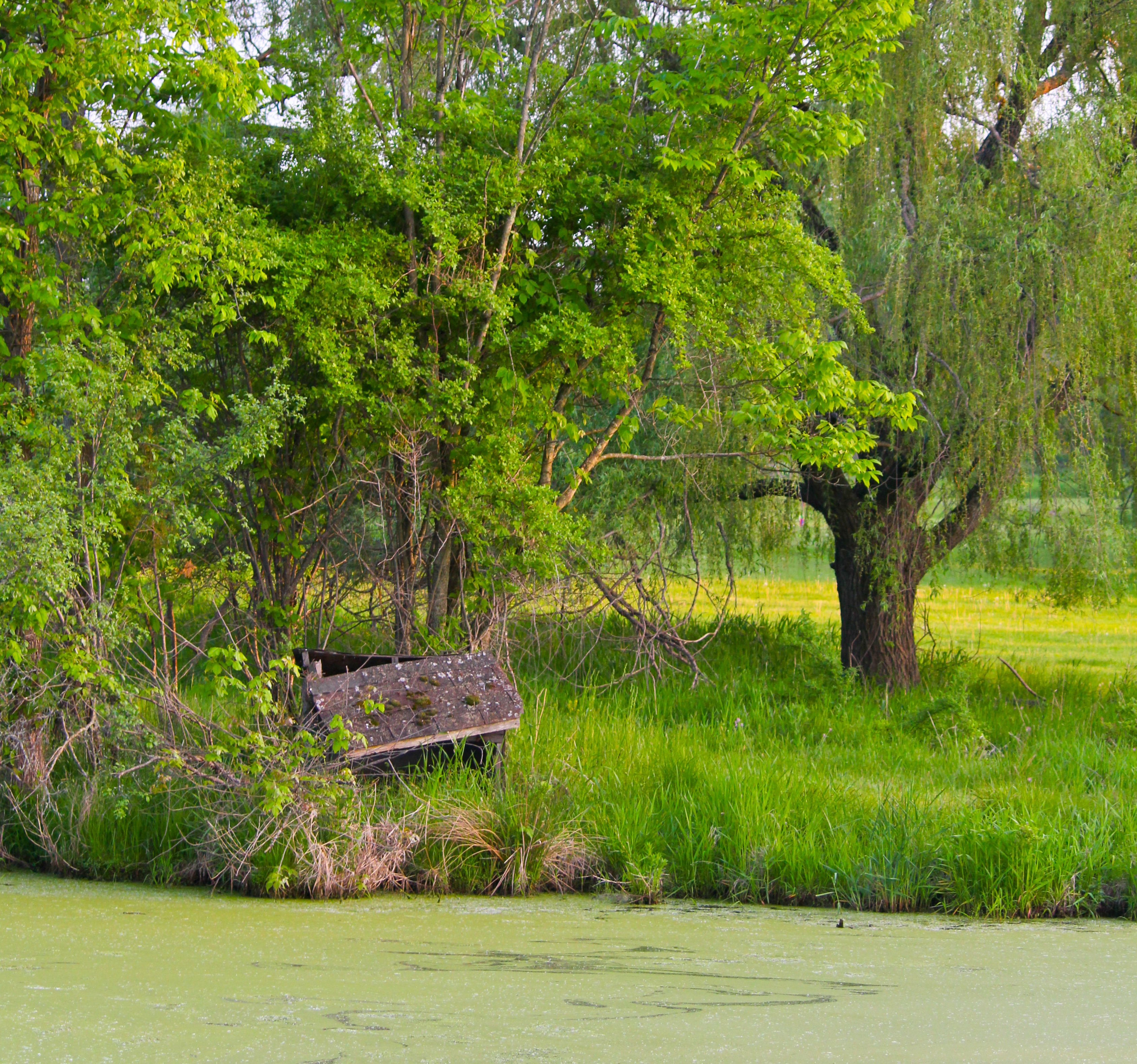
Abandoned Next To A Green Pond
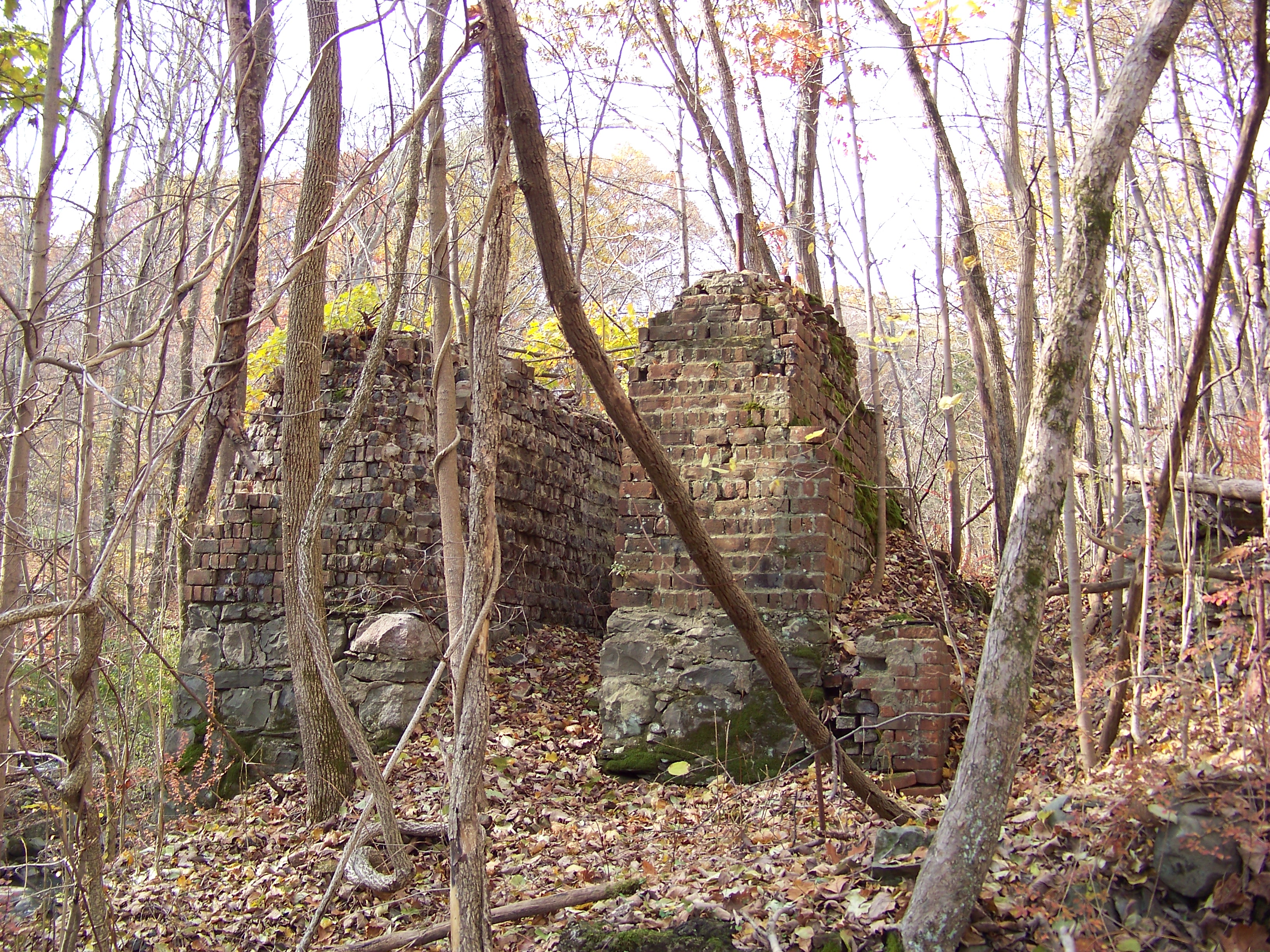
Paper Mill Ruins

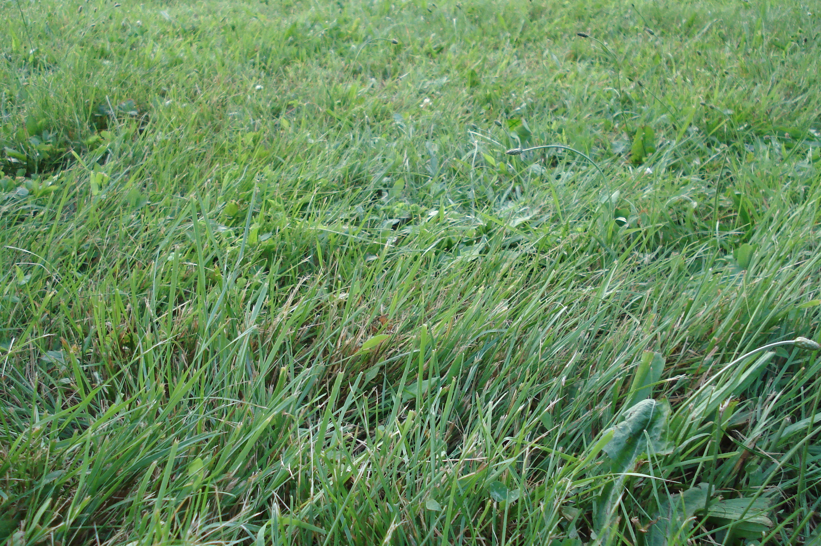
Grass in the woods

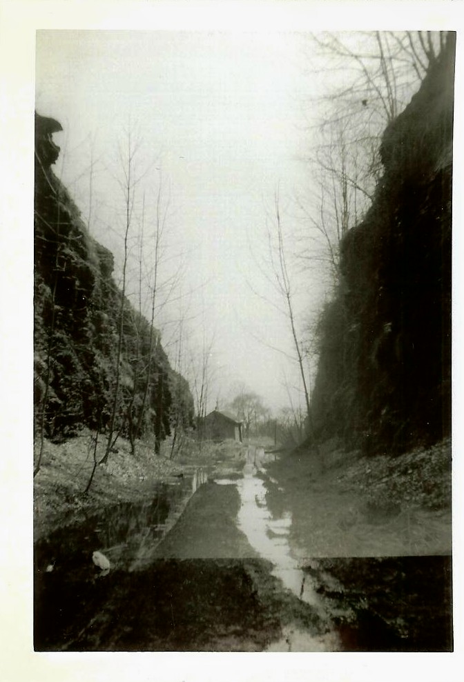
Around Lock 20 D&H Canal
Fading Sunset
National Shrine of Our Lady of Mount Carmel

It's winter up at the lake, hooray!

4248 Hermit Thrush
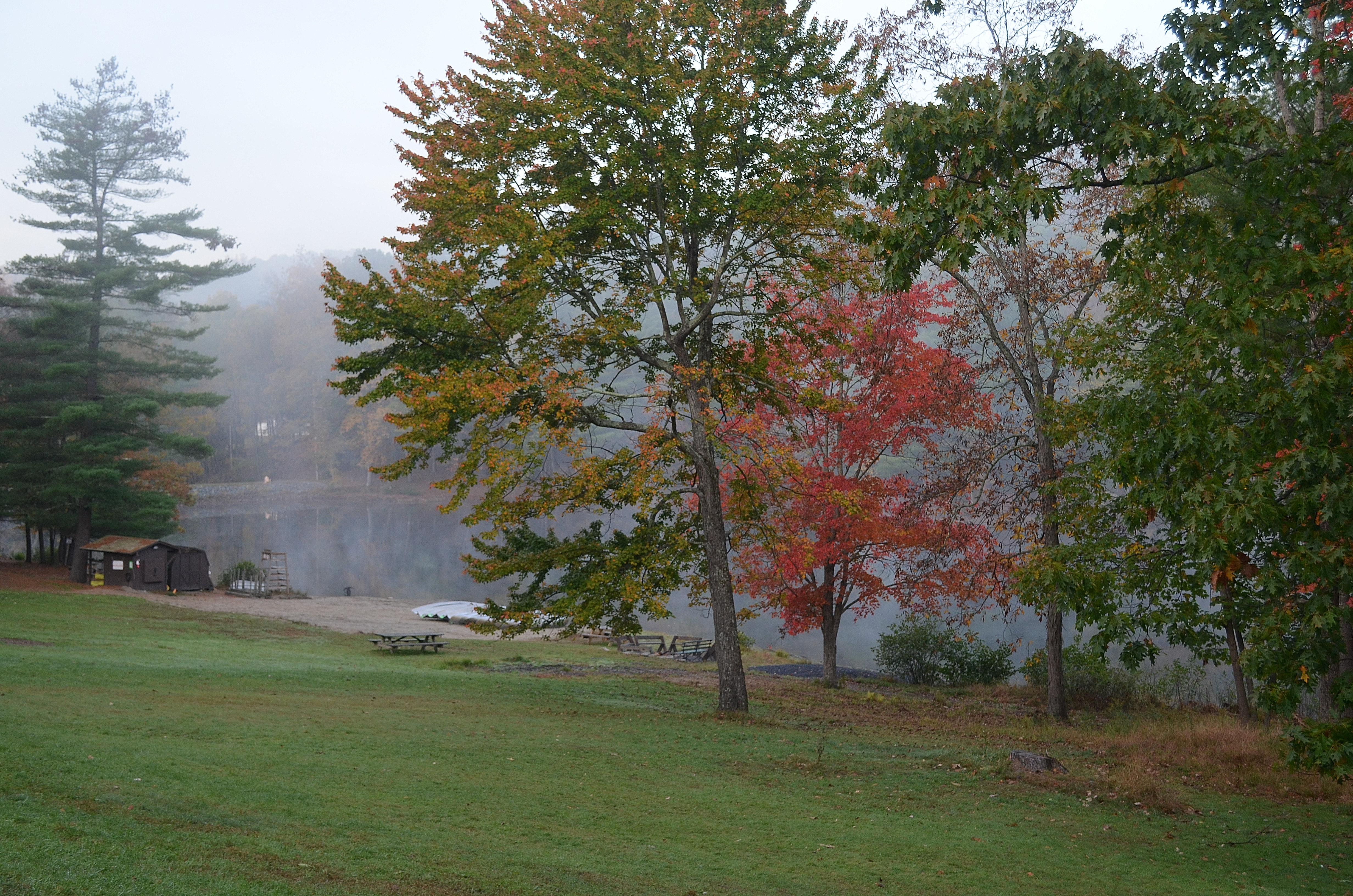
Maple Hill Park

D&H Canal

Perfect blue sky in the state of New York #nofilter #ny #nyc #newyork #sky #skyline #park #nationalpark #thanksgiving #gateway #weekend
Fallen Flag
Camping July 4th. 08 148

Neversink Power and Light
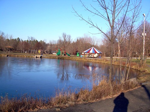
Maple Hill Park
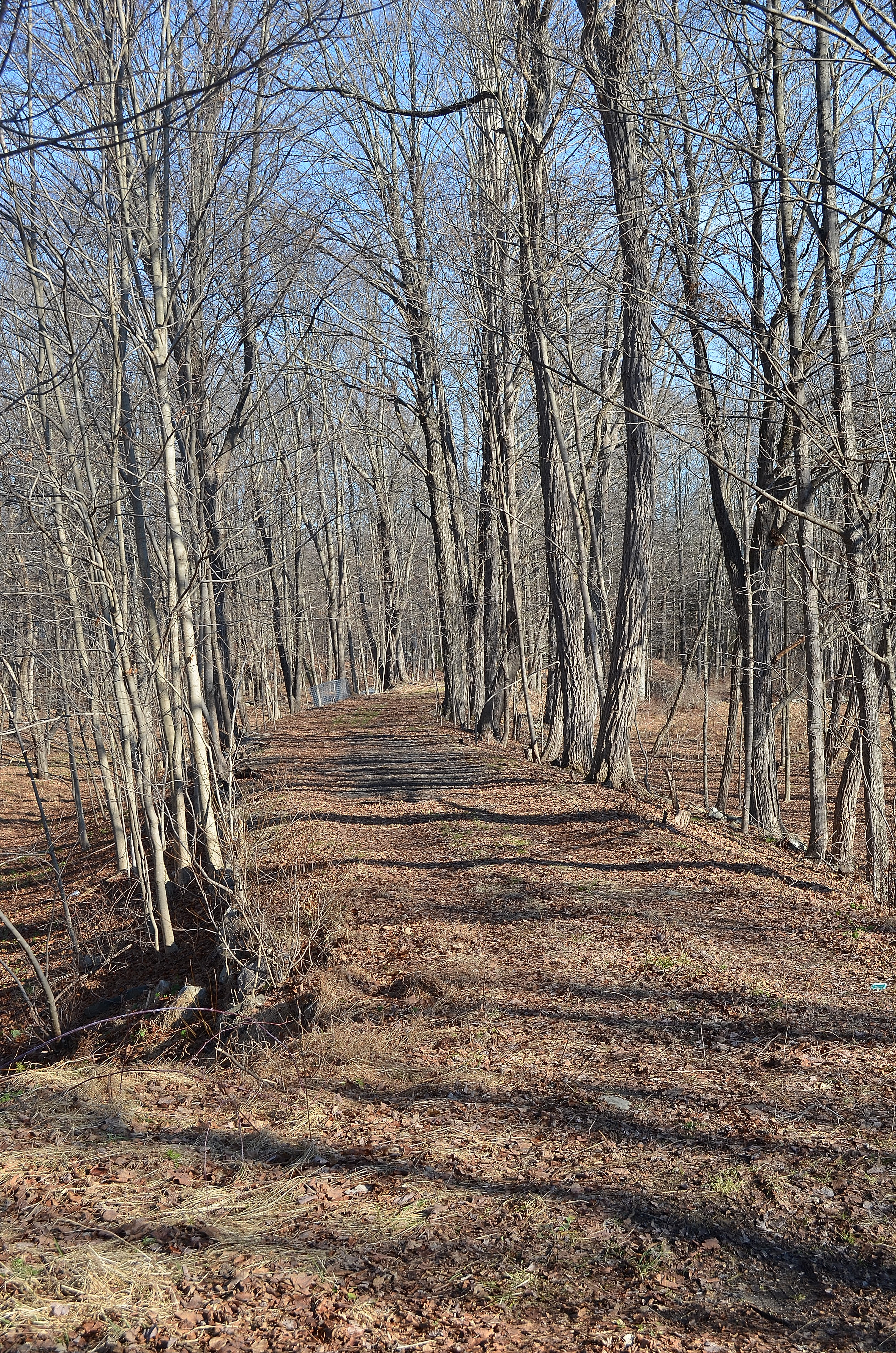
D&H Canal Towpath

Camping (75)
Topographic Map of New Vernon Rd, Middletown, NY, USA
Find elevation by address:

Places near New Vernon Rd, Middletown, NY, USA:
Spruce Rd, Middletown, NY, USA
18 Valley View Dr
622 Winterton Rd
Buttonwood Road
59 Buttonwood Rd
261 Mountain Rd
163 2 Mile Dr
121 Chestnut Ridge Rd
Bloomingburg
244 York Rd
23 Lindberg Ave
Wurtsboro
107 Kingston Ave
107 Kingston Ave
64 Grandview Dr
Horton Road
Grandview Drive
2580 Ny-302
468 Shawanga Lodge Rd
200 Ny-17k
Recent Searches:
- Elevation of Sunset Dr, Hernando, MS, USA
- Elevation of Lake Rotoroa, Tasman, New Zealand
- Elevation of George St, New Bern, NC, USA
- Elevation of Cove Rd, Jasper, GA, USA
- Elevation of Cove Rd, Jasper, GA, USA
- Elevation of South Yankee Meadow Road, Forest Road, Paragonah, UT, USA
- Elevation of SW Elderview Dr, Sherwood, OR, USA
- Elevation of Hickory St, Greenville, NC, USA
- Elevation of Poplar Ln, Guffey, CO, USA
- Elevation of Falling Spring Rd, Clyde, NC, USA