Elevation of Mamakating, NY, USA
Location: United States > New York > Sullivan County >
Longitude: -74.476008
Latitude: 41.5897024
Elevation: 233m / 764feet
Barometric Pressure: 99KPa
Elevation Map:
Satellite Map:
Related Photos:

The colors of Manhattan

Lines Along A Straight Road
Slot Perspective
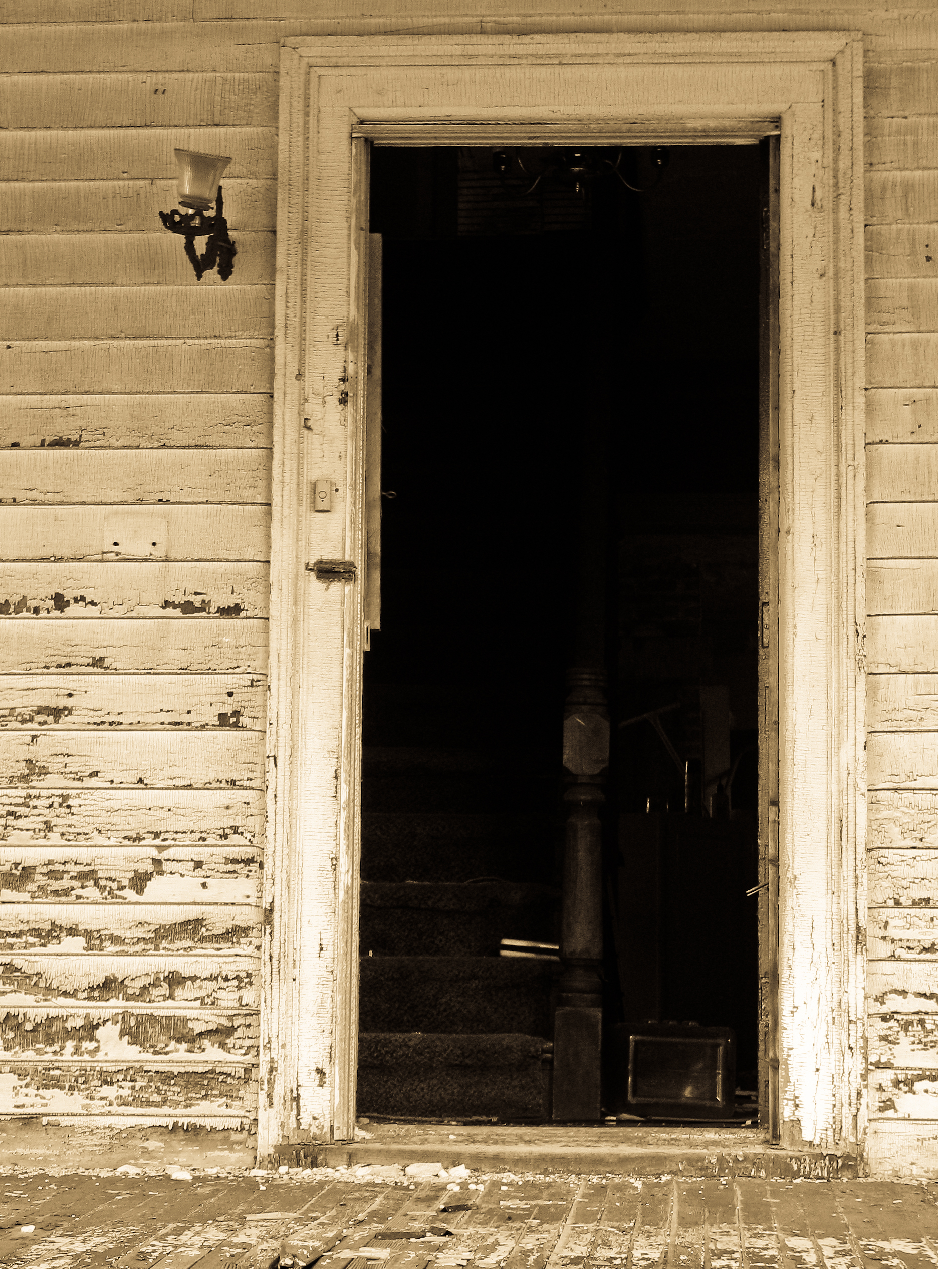
Through The Doorway And Up The Stairs?
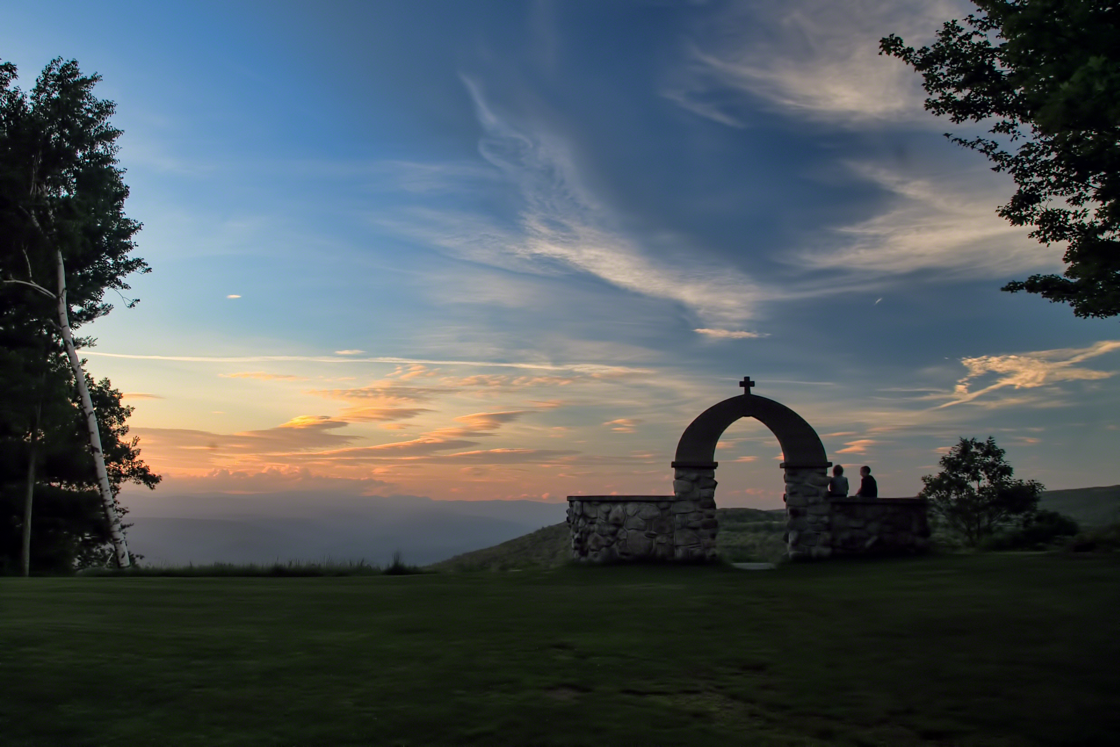
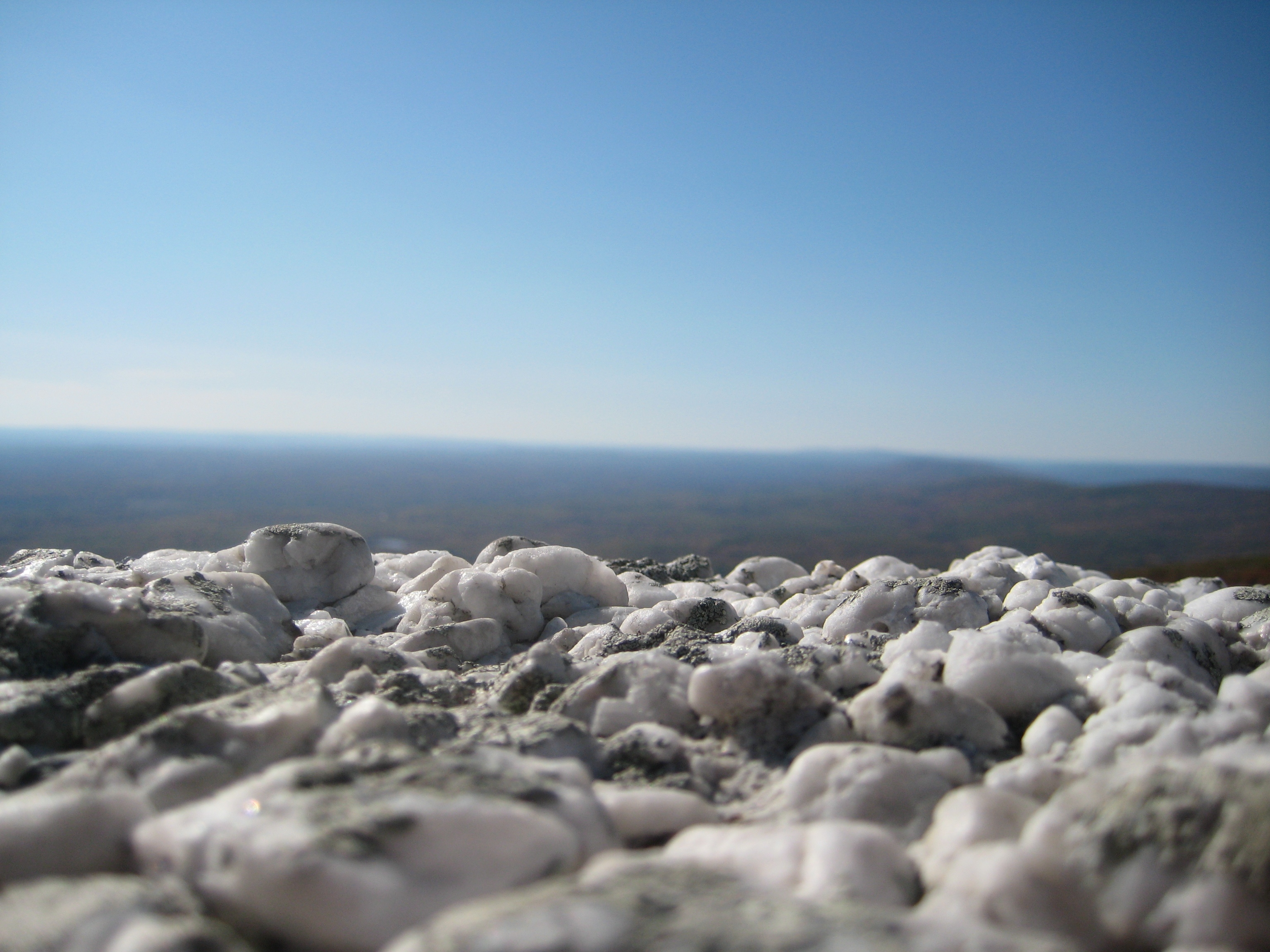
Mountain Sunset

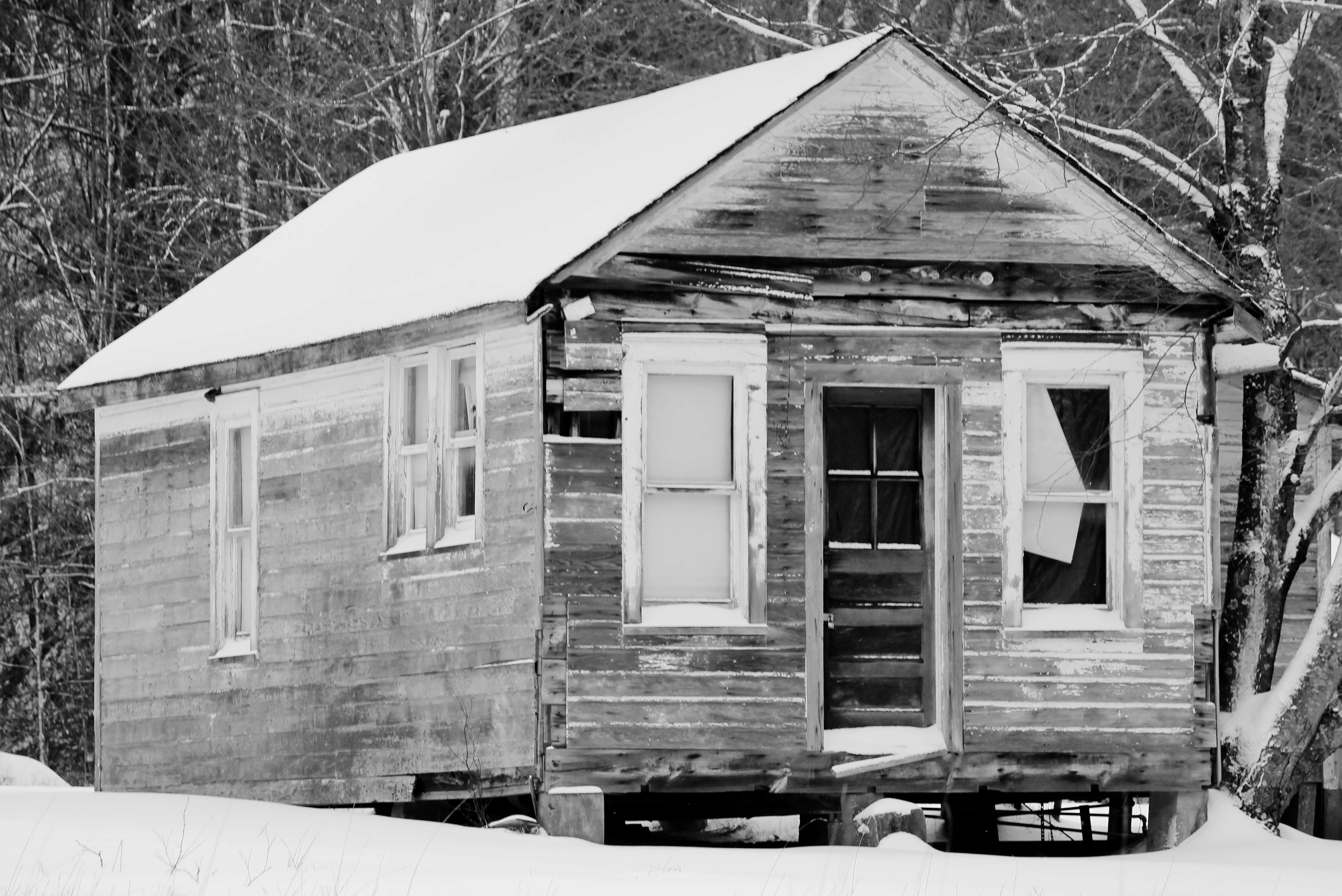
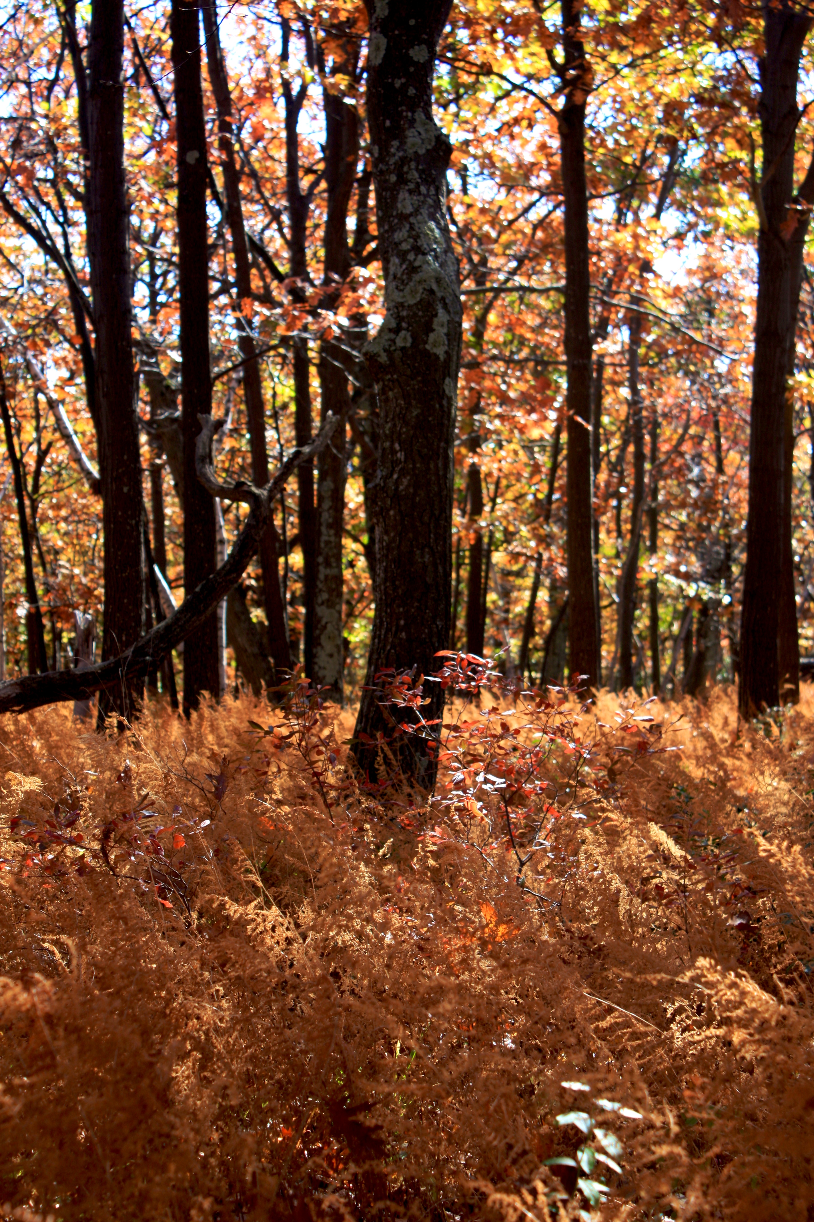
Sacrificed To Time
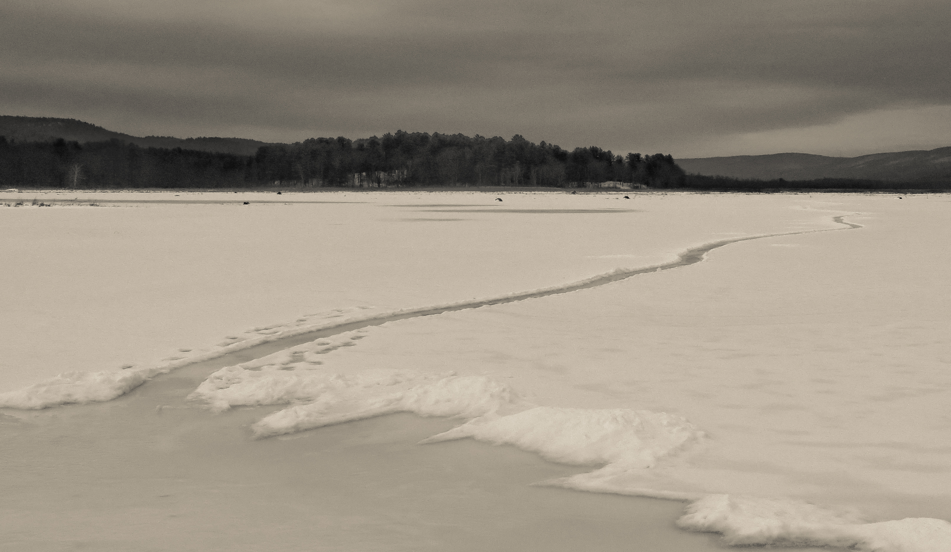
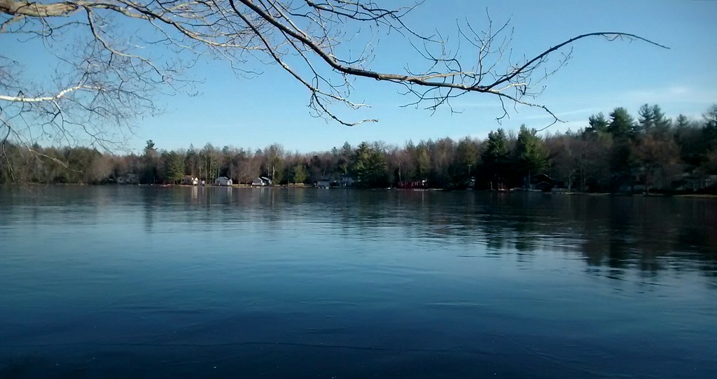
Path Into An Icy Lake
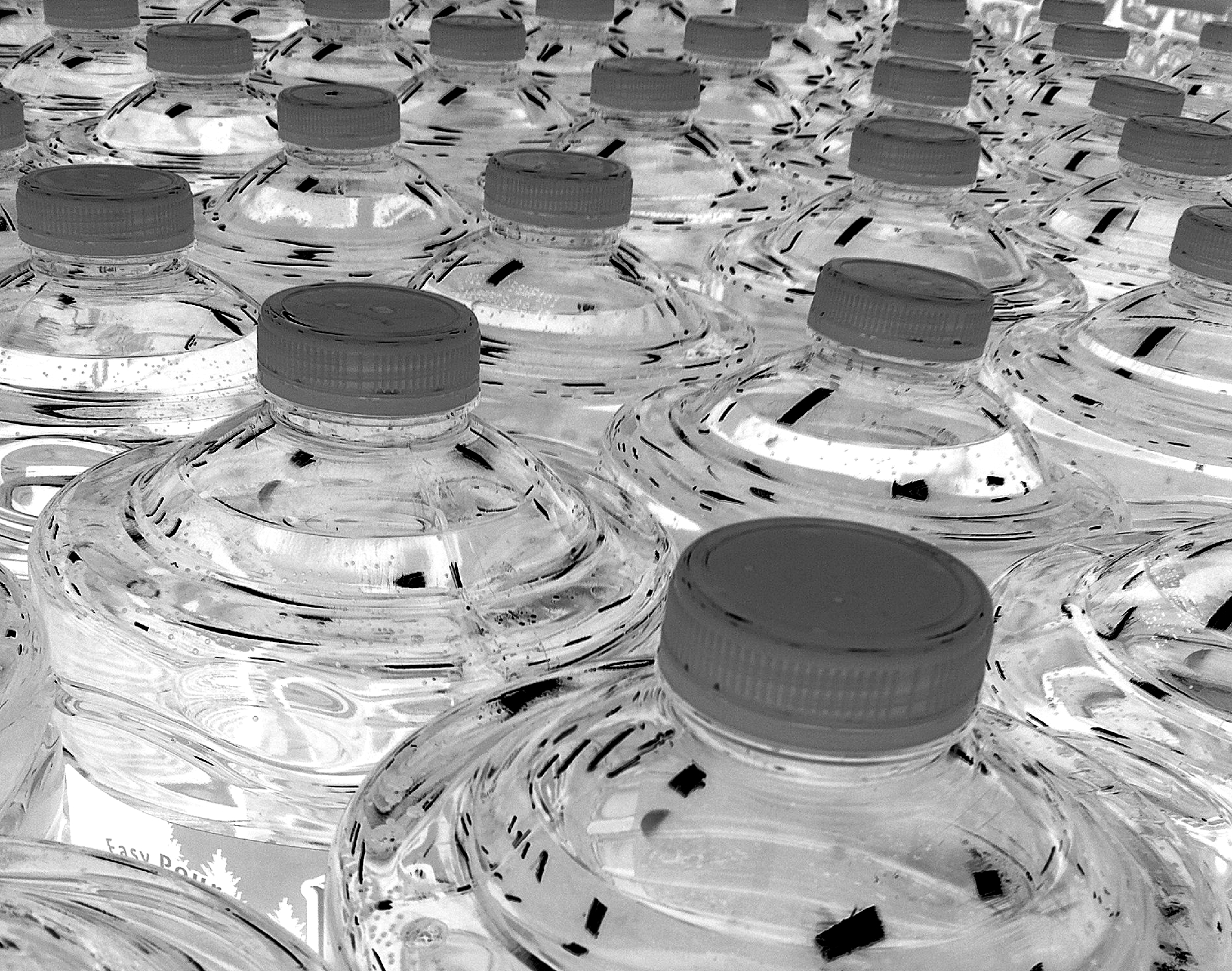
Inverted Water Bottles

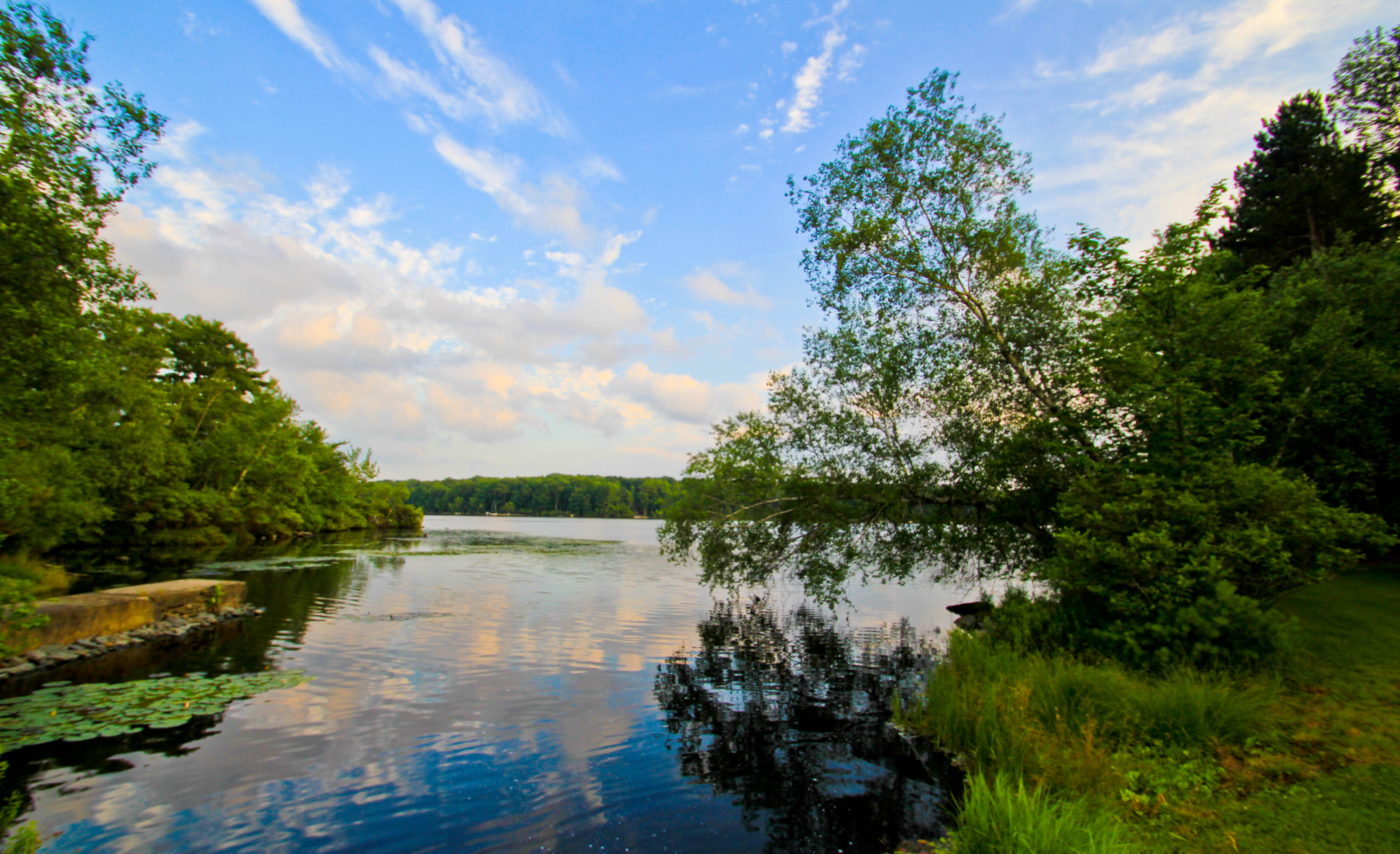
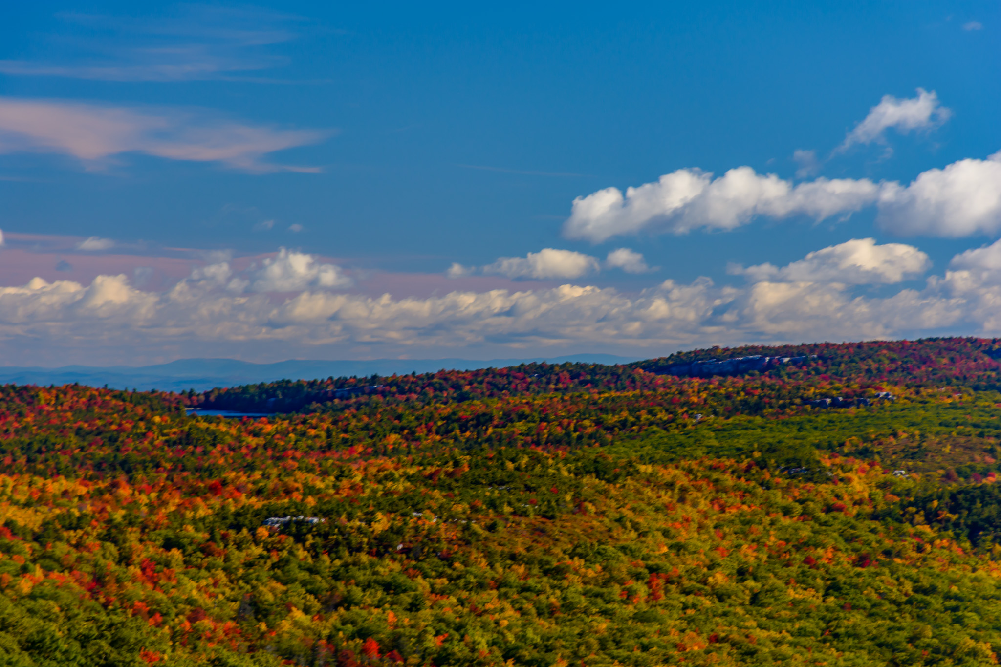
Clouds Moving In Over The Bashakill *Explore*
Evening Sky Over Wolf Lake
Remnants of an Abandoned Railroad
Golden Hour Lake Reflections

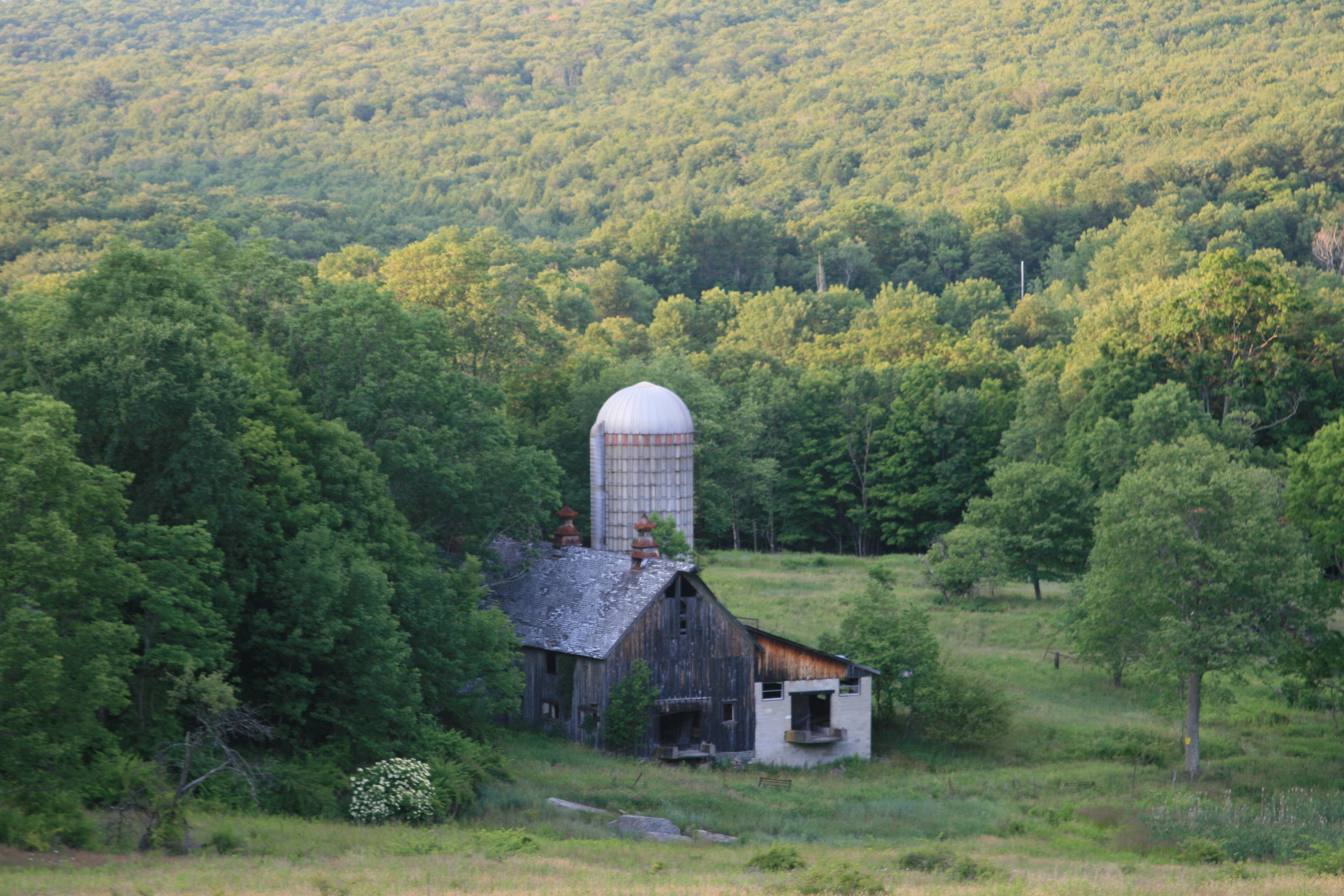
Weathered Red Barn
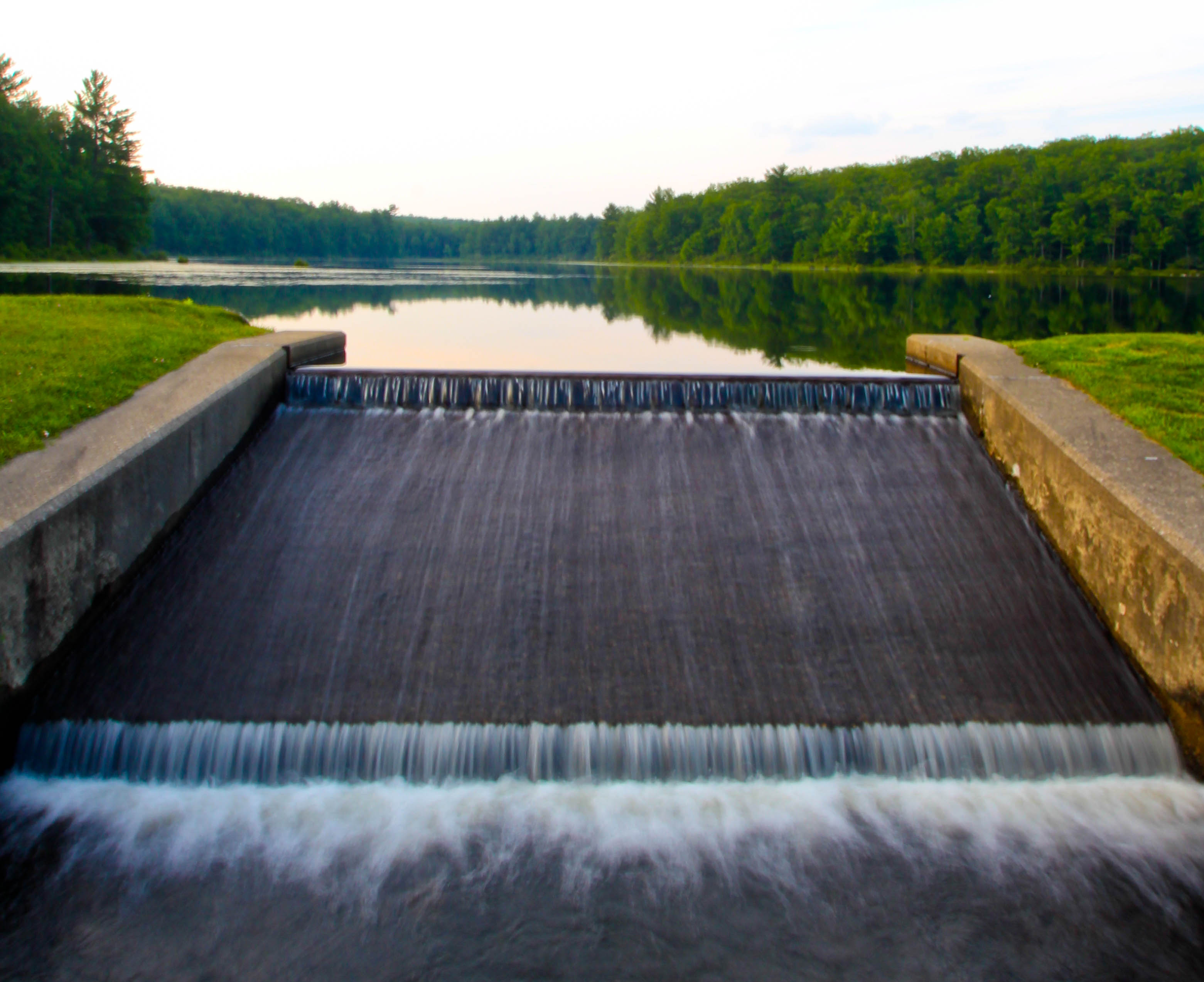
Freedom To Flow
Abandoned but not forgotten by the light
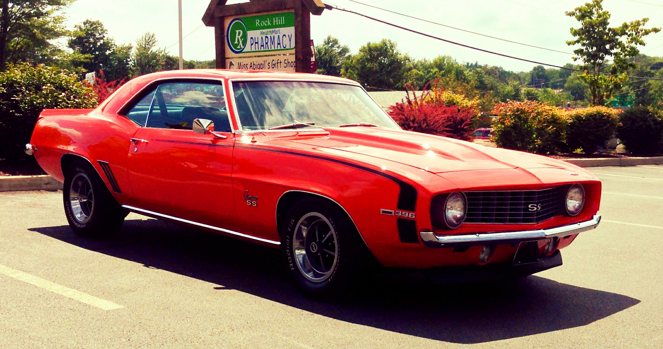
Vacation To 1969
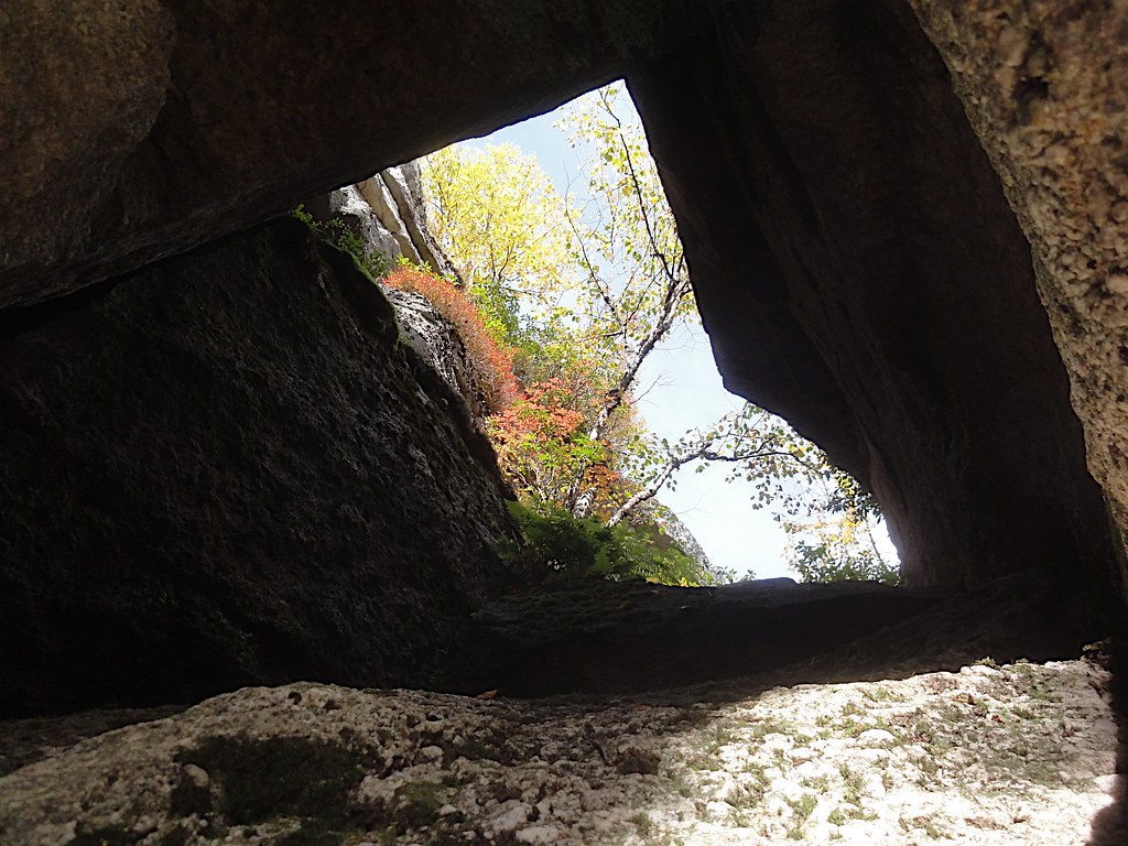
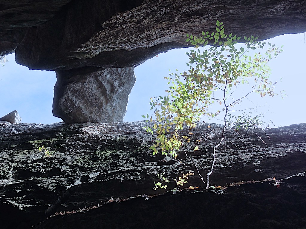
Rock Window View
Look Through The Right Window *Explore*
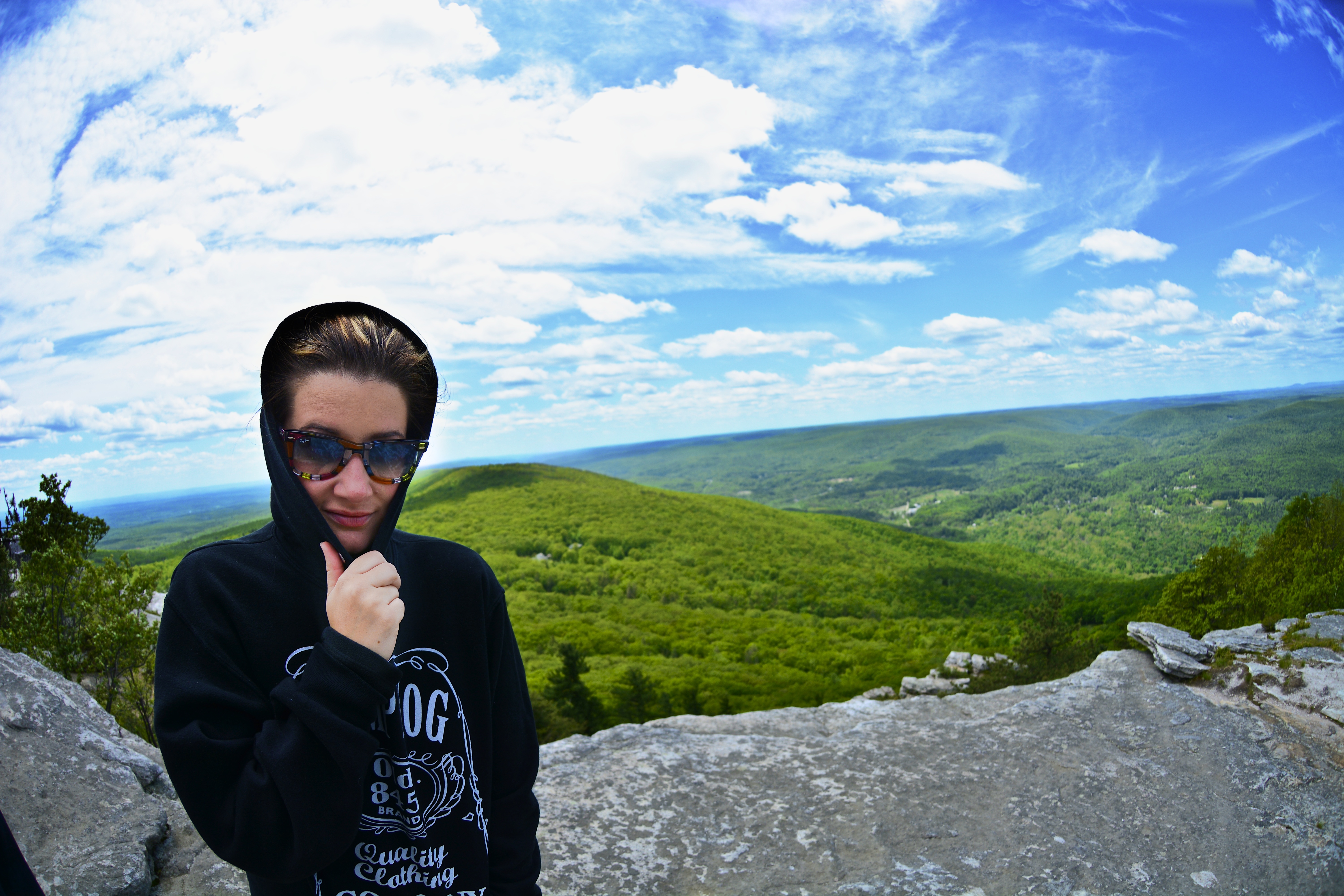
Fish eye 1
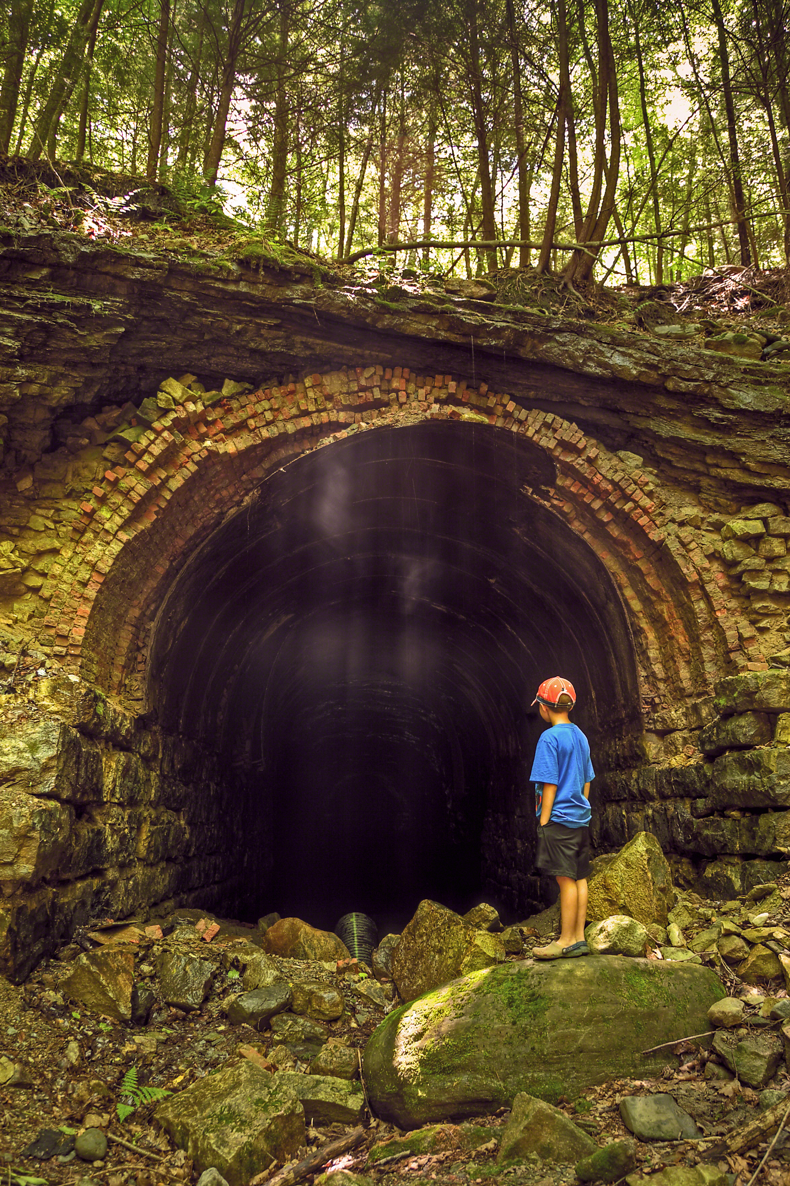
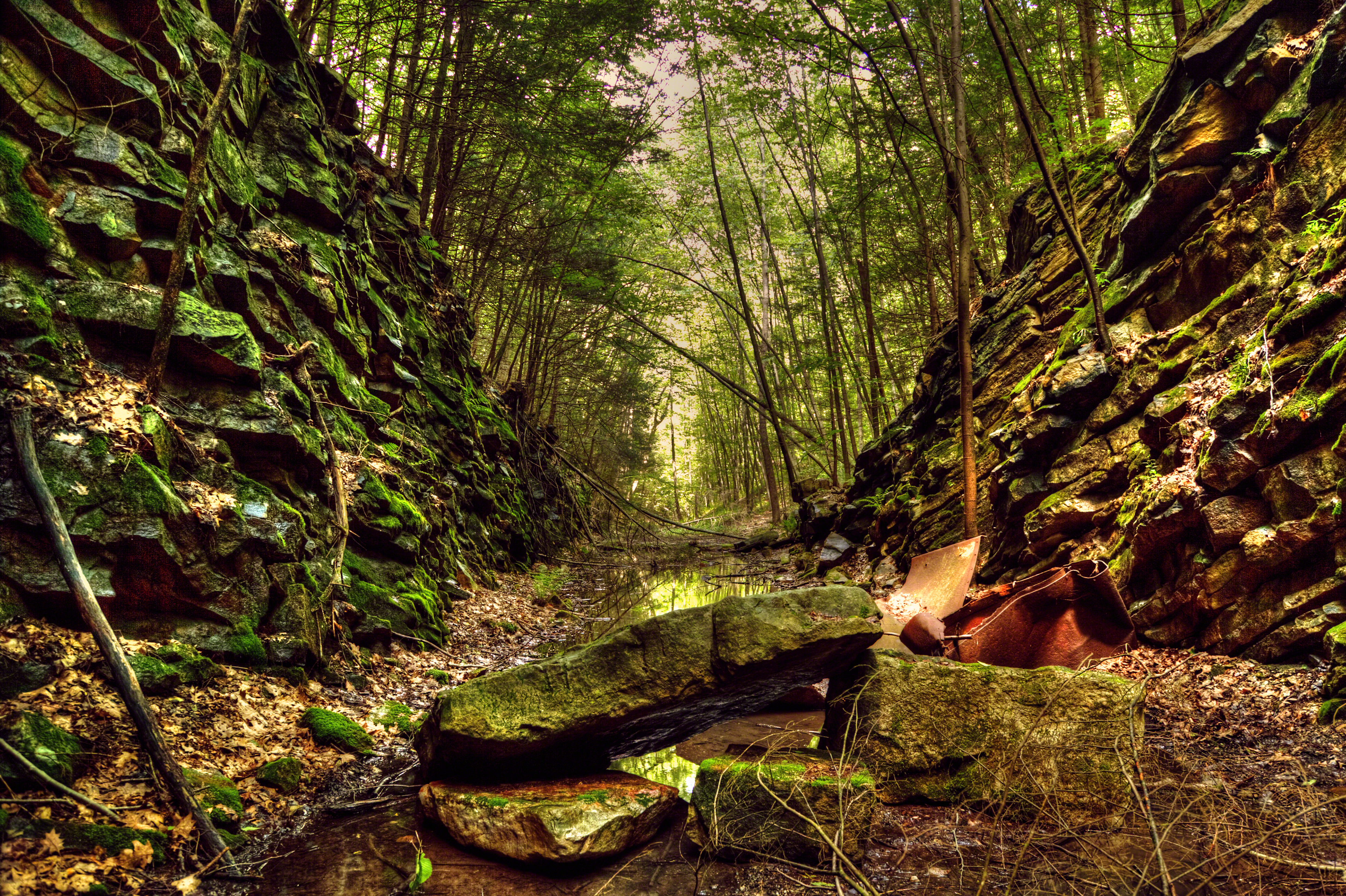
The Forgotten Tunnel
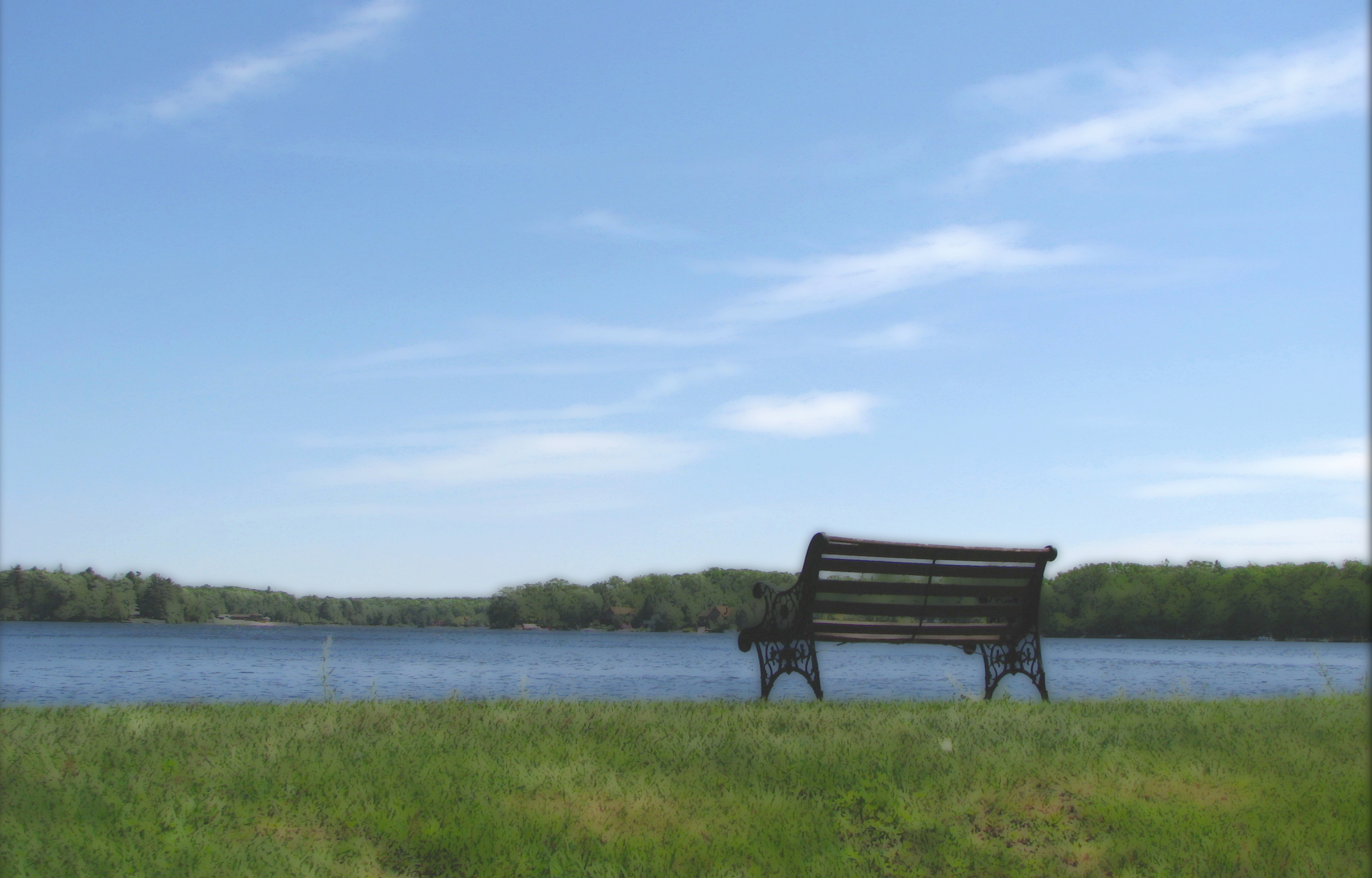
A Place To Sit
Rock Hill

sun in the mirror

Around Lock 20 D&H Canal
Samspoint 2760 (2)
Samspointae 3005
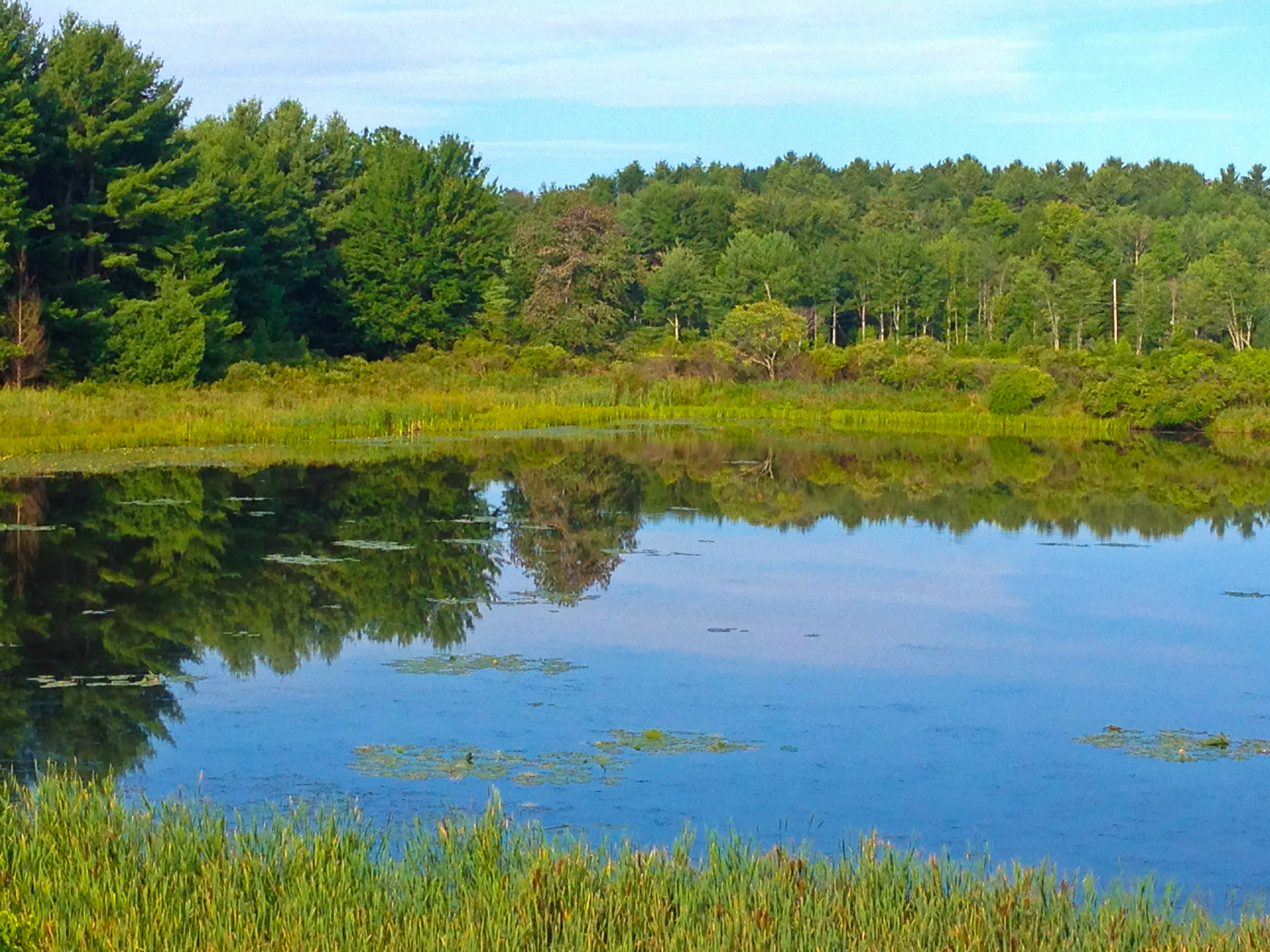
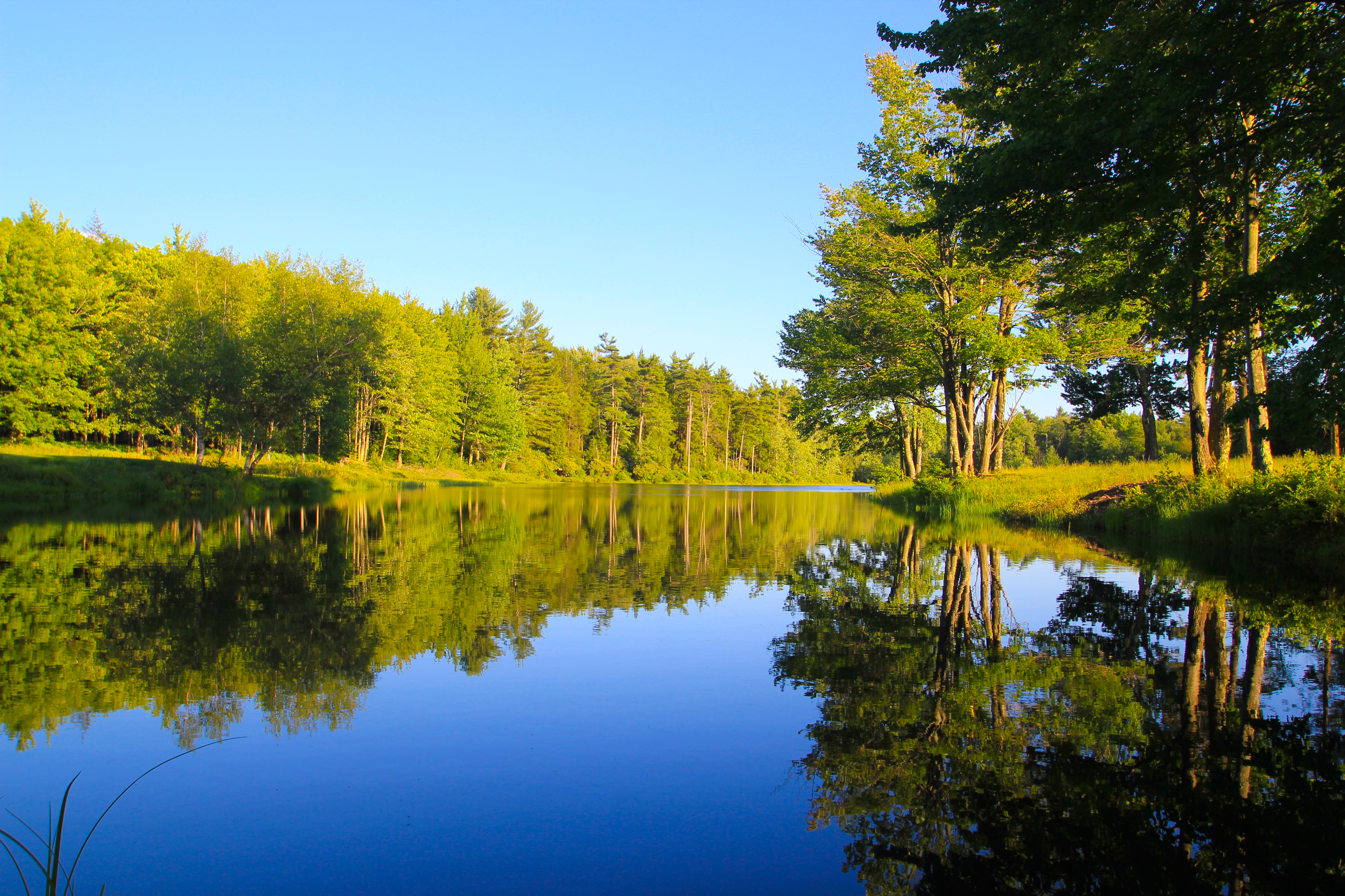
Reflections In A Small Lake
Falls Edge
Top of Falls

DSC_5290.jpg
Dwarf Pines in the Fog

2012-06-02 at 14-27-53
No filter needed

It's winter up at the lake, hooray!

DSC_5253-BW.jpg

DSC_5253.jpg
Minnewaska State Park
Topographic Map of Mamakating, NY, USA
Find elevation by address:

Places in Mamakating, NY, USA:
Places near Mamakating, NY, USA:
Wurtsboro
107 Kingston Ave
107 Kingston Ave
23 Lindberg Ave
Wurtsboro Hills
15 Dogwood Rd N
Nightingale Trail
468 Shawanga Lodge Rd
Wurtsboro Hills
35 Trail Three
64 Grandview Dr
25 Shelley Ln
Grandview Drive
Horton Road
Shawanga Lodge Road
Buck Hill Road
Summitville Rd, Wurtsboro, NY, USA
261 Mountain Rd
Berentsen's Campground
90 Shawanga Lodge Rd
Recent Searches:
- Elevation of Corso Fratelli Cairoli, 35, Macerata MC, Italy
- Elevation of Tallevast Rd, Sarasota, FL, USA
- Elevation of 4th St E, Sonoma, CA, USA
- Elevation of Black Hollow Rd, Pennsdale, PA, USA
- Elevation of Oakland Ave, Williamsport, PA, USA
- Elevation of Pedrógão Grande, Portugal
- Elevation of Klee Dr, Martinsburg, WV, USA
- Elevation of Via Roma, Pieranica CR, Italy
- Elevation of Tavkvetili Mountain, Georgia
- Elevation of Hartfords Bluff Cir, Mt Pleasant, SC, USA